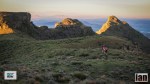
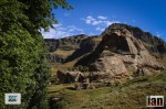
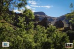
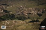
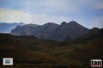
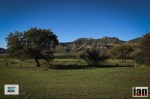
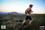
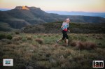
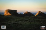
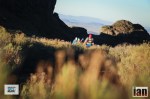
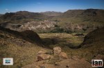
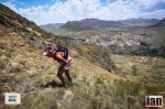
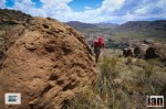
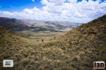
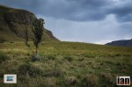
The Witteberg is a South African mountain range just off the south-west corner of Lesotho. The range, which rises to 2408 metres, stretches for about 60km from Lundin’s Nek in the east to Lady Grey in the west. The range lends its name to the Witteberg Series, the uppermost fossiliferous sequence of the Cape System of sedimentary rocks in South Africa. The race starts in the town of Lady Grey which is famous for its annual Nativity Play and its quaint houses and incredible scenery. Discover the wonder of Balloch cave along the route with it bushman art and idyllic setting nestled between some of the highest peaks in the Witteberg.
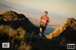
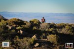
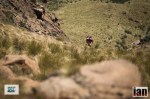
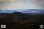
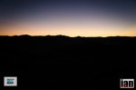
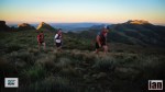
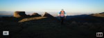
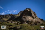
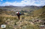
The Witteberg range is one of the most picturesque places in South Africa with some distinctive peaks like Avoca and Halston Peaks dominating the skyline.
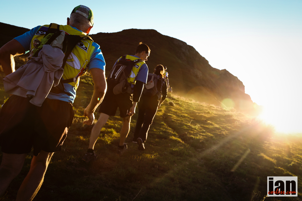
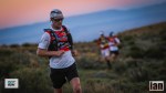
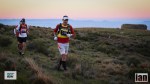
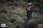
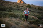
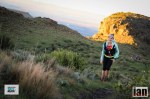
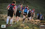
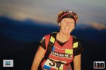
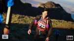
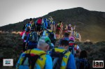
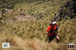
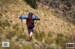
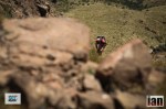
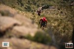
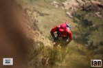
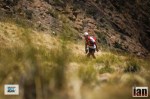
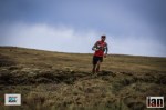
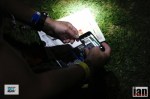
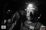
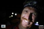
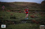
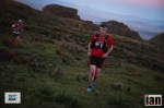
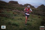
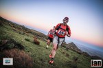
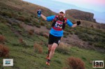
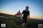
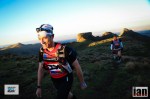
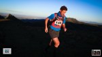
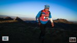
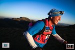
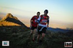
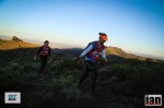
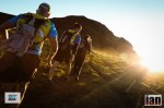
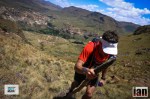
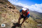
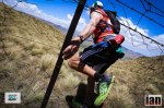
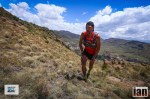
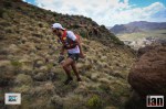
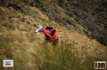
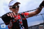
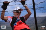
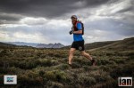
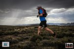
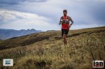
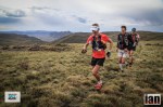
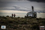
The Salomon SkyRun and SkyRun Lite are unique in that they are truly self-supported and self-navigational races, where athletes tackle the remote terrain of the Witteberg Mountain range with a Map a Compass or GPS unit and a back pack containing all there food, water and compulsory equipment that will enable them to survive in this harsh environment, while operating at an average height of between 2200-2500 meters above sea level.
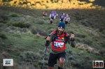
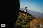
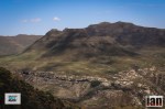
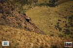
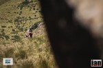
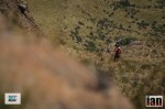
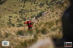
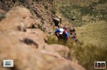
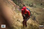
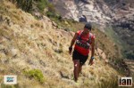
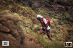
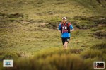
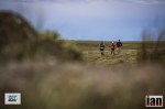
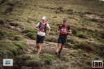
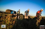
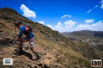
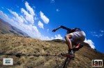
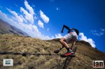
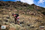
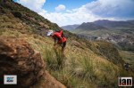
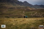
The trail starts in Lady Grey and the first 65km of the route is the same for both races, after the compulsory stop and medical check at Balloch are the Skyrunners allowed to continue while the Lite runners have completed their journey. The route climbs sharply out of Lady Grey to the first check point at the Tower; this is about a 12km run and is a combination of hiking trails and mountain running. As you climb the trail to the tower the majestic landscape unfolds in front of you and it now feels as if you are on top of Africa. Following the fence line you make your way along the ridge line to the second check point which is at Olympus, this is another 10km and the terrain is now devoid of paths and trails and athletes must decide which is the best route to the check point. After Olympus the athletes can pick up a small trail that will lead them to Snowden which is check point 3 another 11km or so, there is a natural spring just past Snowden where you can fill up your water bladders (does depend on how much rain has fallen so not always guaranteed a lot of water) before making your way to Avoca Peak the highest point (2756m) on the race. The climb up Avoca peak is challenging as the gradient is steep and the terrain is rough especially after good summer rain. From Avoca the route takes you over the “Dragonback” a ridge line that is about 3 meters wide with steep descends on either side, a fantastic formation of rock that is a feature of the race and a spectacular viewing point on a clear day. The route flattens out for a while as you move towards CP6 at Skidor which is again a leg of about 10km. At Skidor you descend into the valley down a technical descend before picking up the river that will lead you to the compulsory stop at Balloch Cave having now covered about 65km of the race.
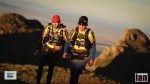
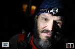
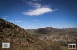
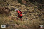
Once Athletes have done their medical and been give the all clear by the doctor, it upwards and onwards as they take on the challenge of Balloch Wall a climb with a vertical ascent of over 500m in just 3km and back down the other side on the way to CP 8 at Edgehill Farm. Most athletes will now be operating in the dark as night fall will have replaced the harsh African sun. Navigating through the Bridal Pass from EdgeHill to the turn is tricky with a lot of athletes losing a lot of time trying to find the correct entrance into the pass that will lead them onto the ridgeline again. The Bridal pass has now been included as a waypoint on the route to assist athletes in negotiating the pass. A steady climb up the Pass will take you onto the ridgeline and to the check point at the Turn. From here you will double back toward the Wartrail Country Club via Halston Peak which is the last check point on the route. The climb down from Halston’s is technical and is made more difficult by the fact that you are very fatigued at this stage but buoyed by the fact that you are now heading to the finish at Wartrail Country Club.
RESULTS *to be updated
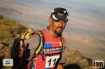
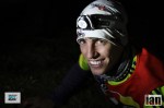
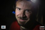
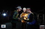
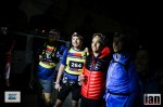
- Iain Don Wauchope 12:08:15 – new course record
- Gary Robbins 13:46
- Jock Green 14:12
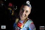
- Landie Greyling 16:14
- Julia Boettger 19:53
- Sue Chapman 23:33
Ladies results to follow.


More images to follow.