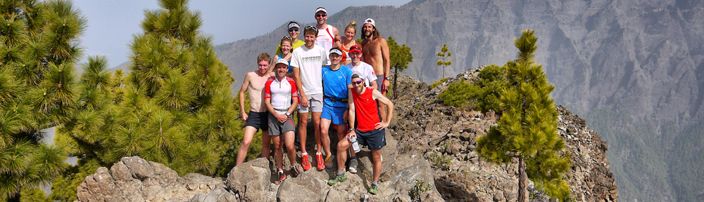
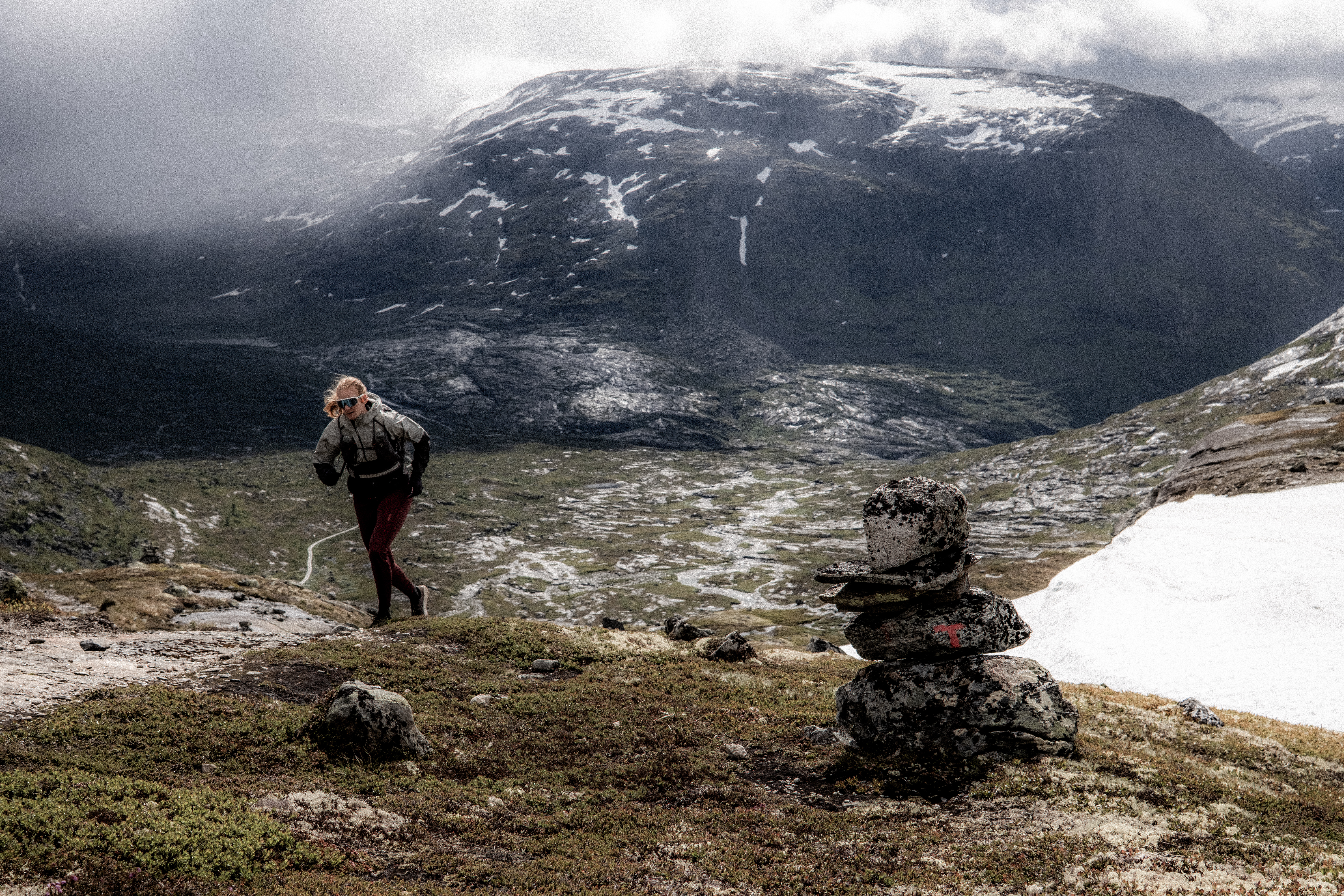
Following our SAGA adventure, a couple of days RnR was welcome in Otta and Lalm – an opportunity to check Hylja Lodge which offered four stunning individual cabins and a new lodge, one year in the making – we were the first guests.
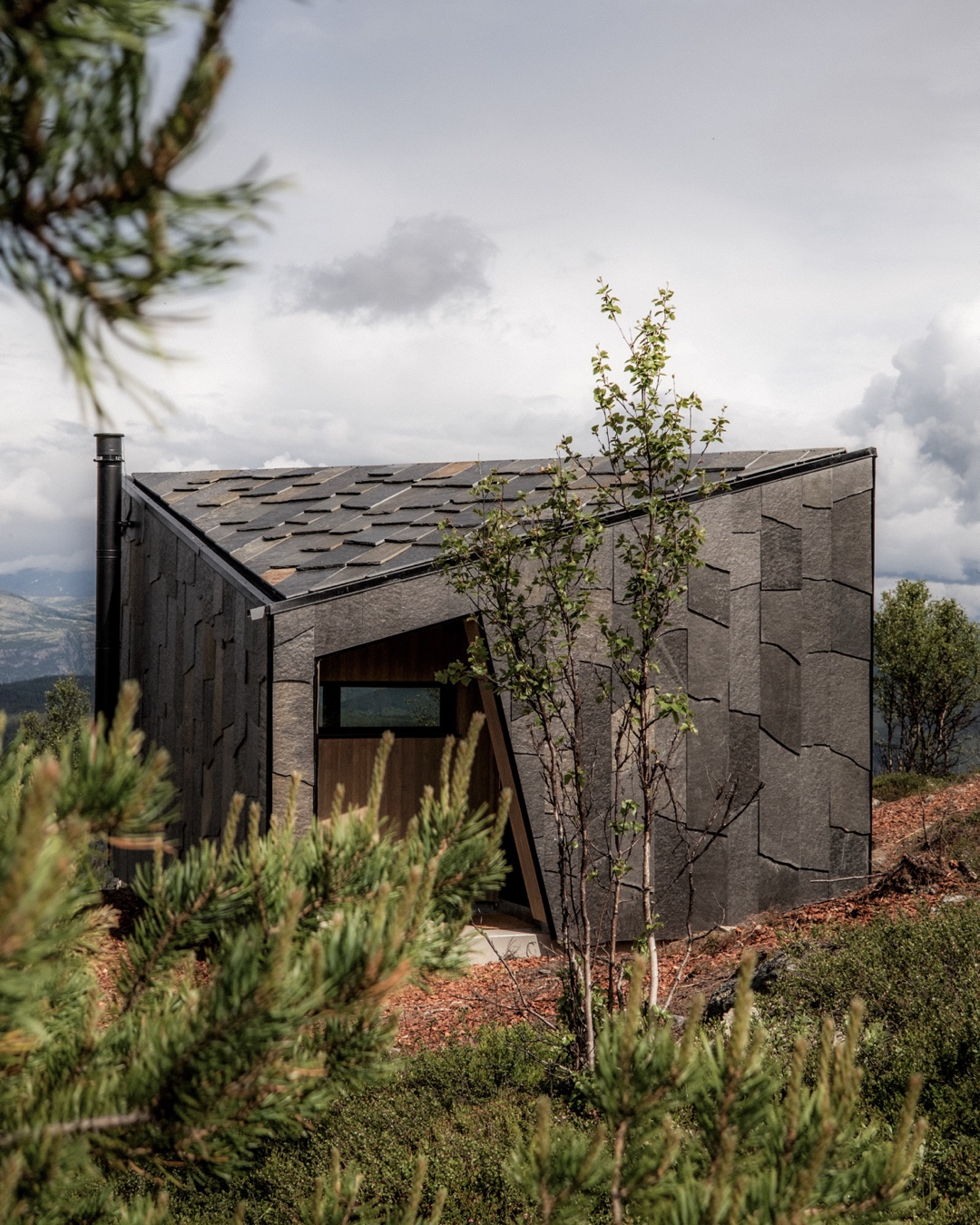
After moving fast and light with minimal clothes and comfort, this was a perfect luxury treat before once again heading back to the mountains.
BREHEIMEN
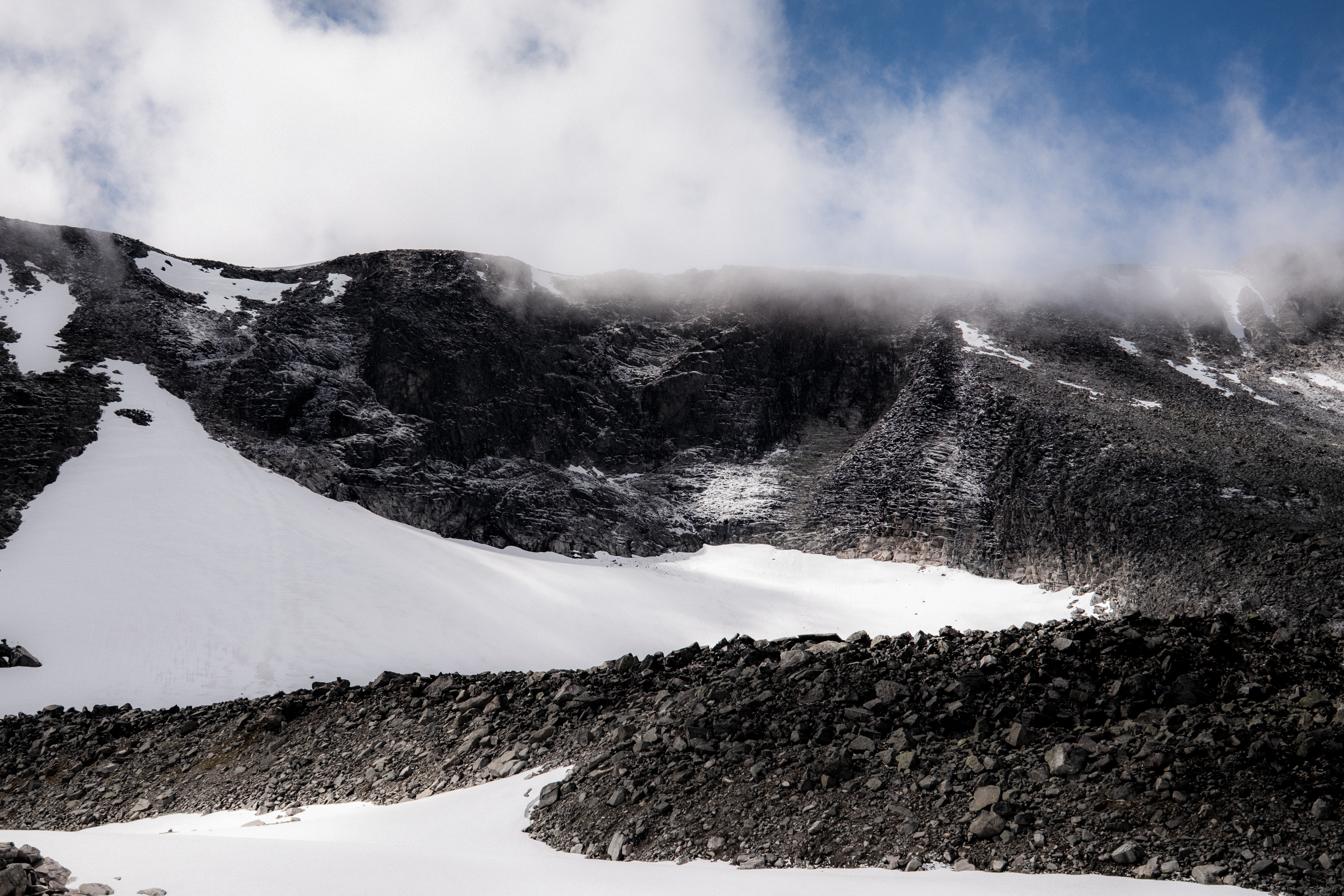
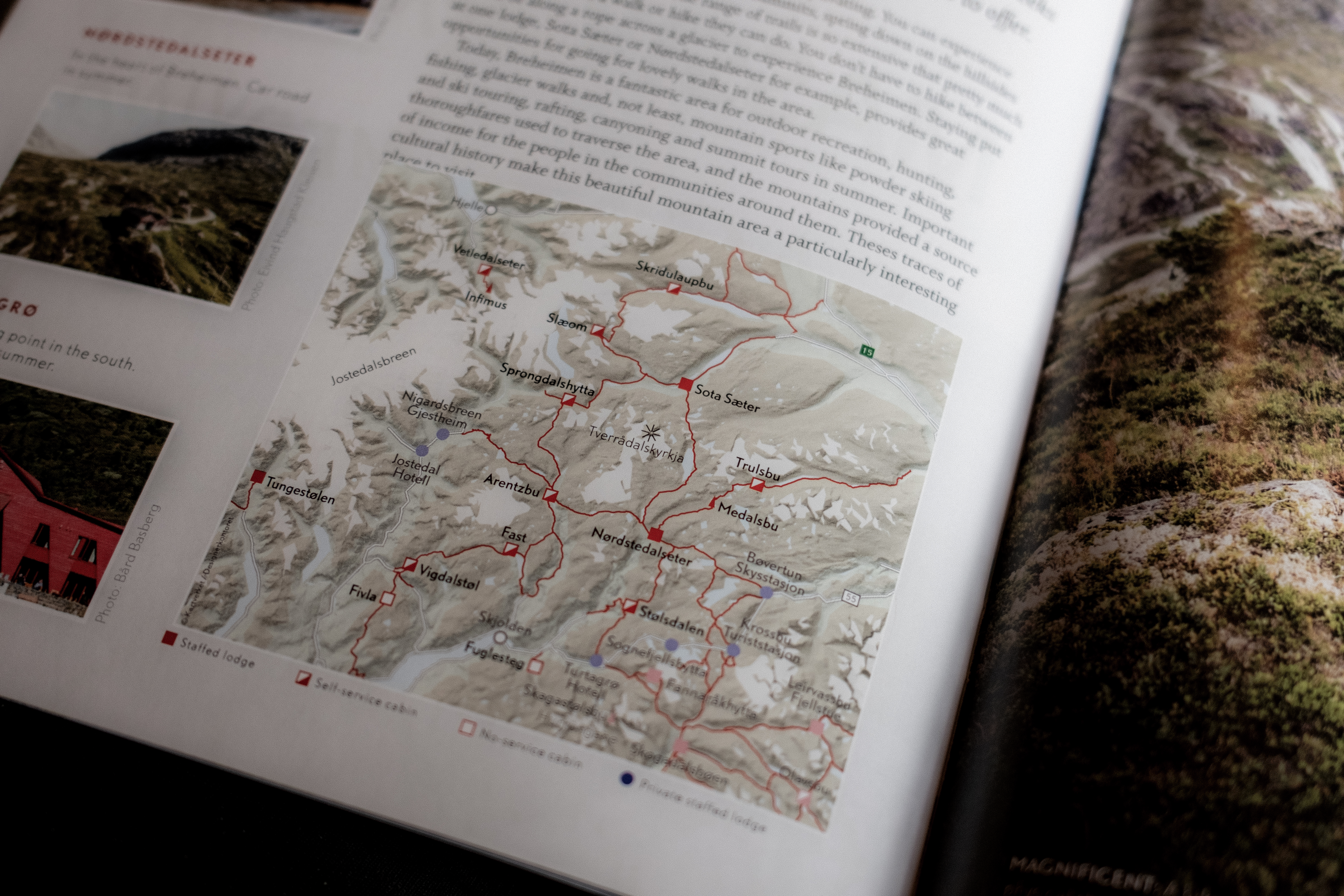
Breheimen is a magical landscape, in contrast to what we experienced on SAGA, this is area is wild, rough, remote and challenging – real mountain terrain.
“The area extends from just above sea level to well over 2,000 meters. The landscape has been formed by glaciers, landslides and other geological processes that have taken place over hundreds of thousands of years. Today, everything from lush valley grazing areas to rugged high mountains and glaciers are found in Breheimen, which is one of our most diverse national parks.”
In 2025, Abelone started her MASSIV journey here – Sota Sæter cabin being the official start or end point. I joined her on that first day heading to Nørdstedalseter – a day that was embedded deeply in my memory bank – it was magical weather and magical terrain and what a pleasure to share that with Abelone who was starting an epic 350km journey that takes most around 21-days, she would eventually complete in 10-days.
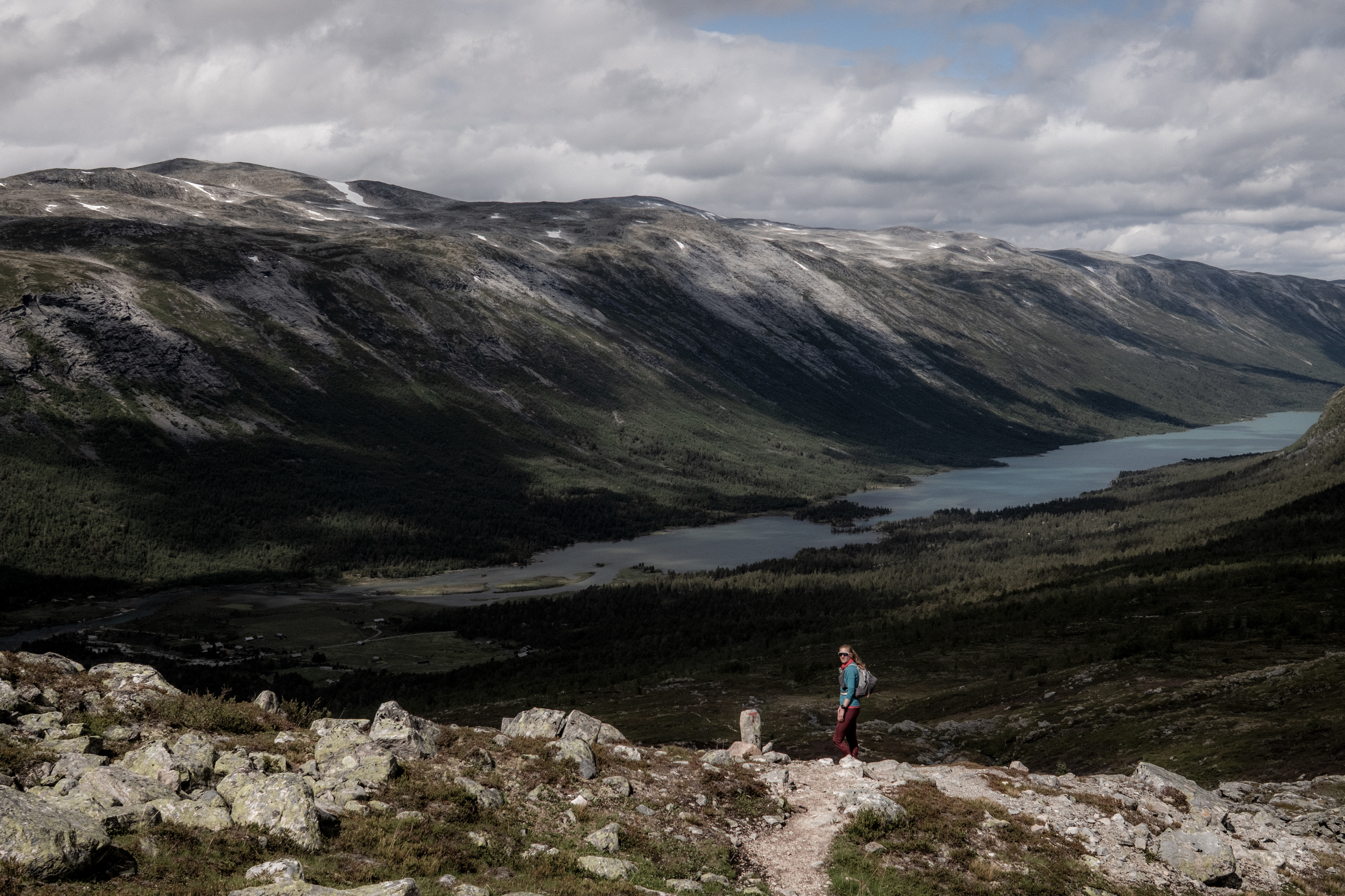
So, our return to Breheimen and Sota Sæter had special meaning.
THE PLAN
Just like SAGA, we’d be moving fast and light, ‘fastpacking’ with exactly the same items. However, with just 4-days, we would take in a circular route, starting and concluding at Sota Sæter.
Our route, in principle was simple. Arrival Sota Sæter and stay the night.
Day 1 was open to being a single stage or double stage, our original plan was to finish at DNT Arentzbu passing via DNT Sprongdalshytta.
Day 2 would be then to go to DNT Nørdstedalseter and stay 2-nights with some out-and-back adventure on day 3.
Day 4 Nørdstedalseter and return to Sota Sæter.
FUNNEST KNOWN TIME
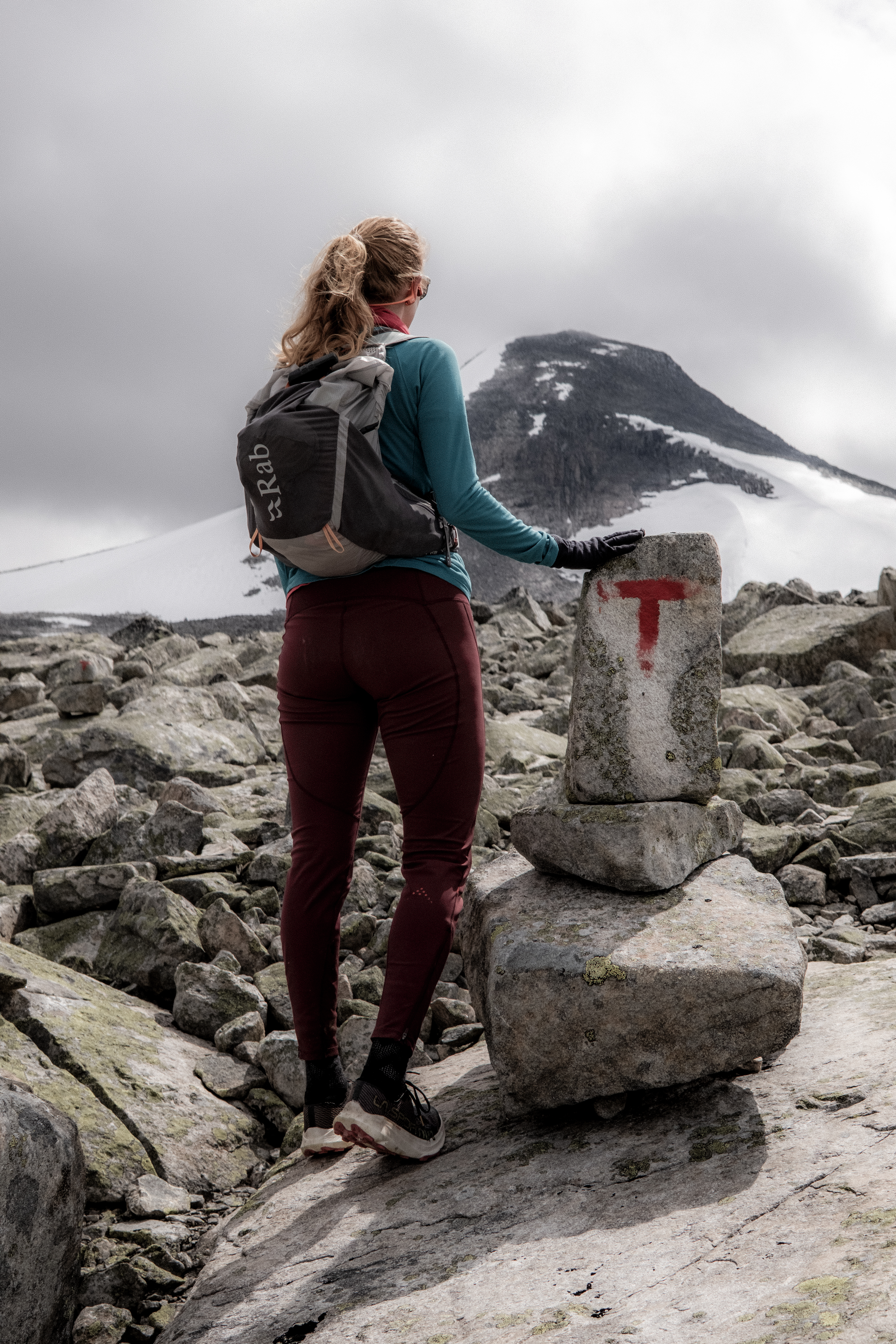
Once again, our priority was a Funnest Known Time and whereas with SAGA we had very specific motivations, our 4-day Breheimen trip was very relaxed. The estimated total distance over the 4-days was +/- 80km’s but with plenty of vertical and challenging terrain.
THE JOURNEY
Day 1 – 18.88km 916m+ 3h 52m
Sota Sæter is a great cabin, it has road access but is very isolated. A relaxed night, some great cabin food, a good sleep and hearty breakfast and we were ready for day 1.
The early km’s were very easy and unlike SAGA, the plan was to do this journey together. The terrain here is considerably more technical and challenging and therefore, the pure running sections are greatly reduced making fast hiking a default pace.
The first 5km flew by and then we started the challenging terrain.
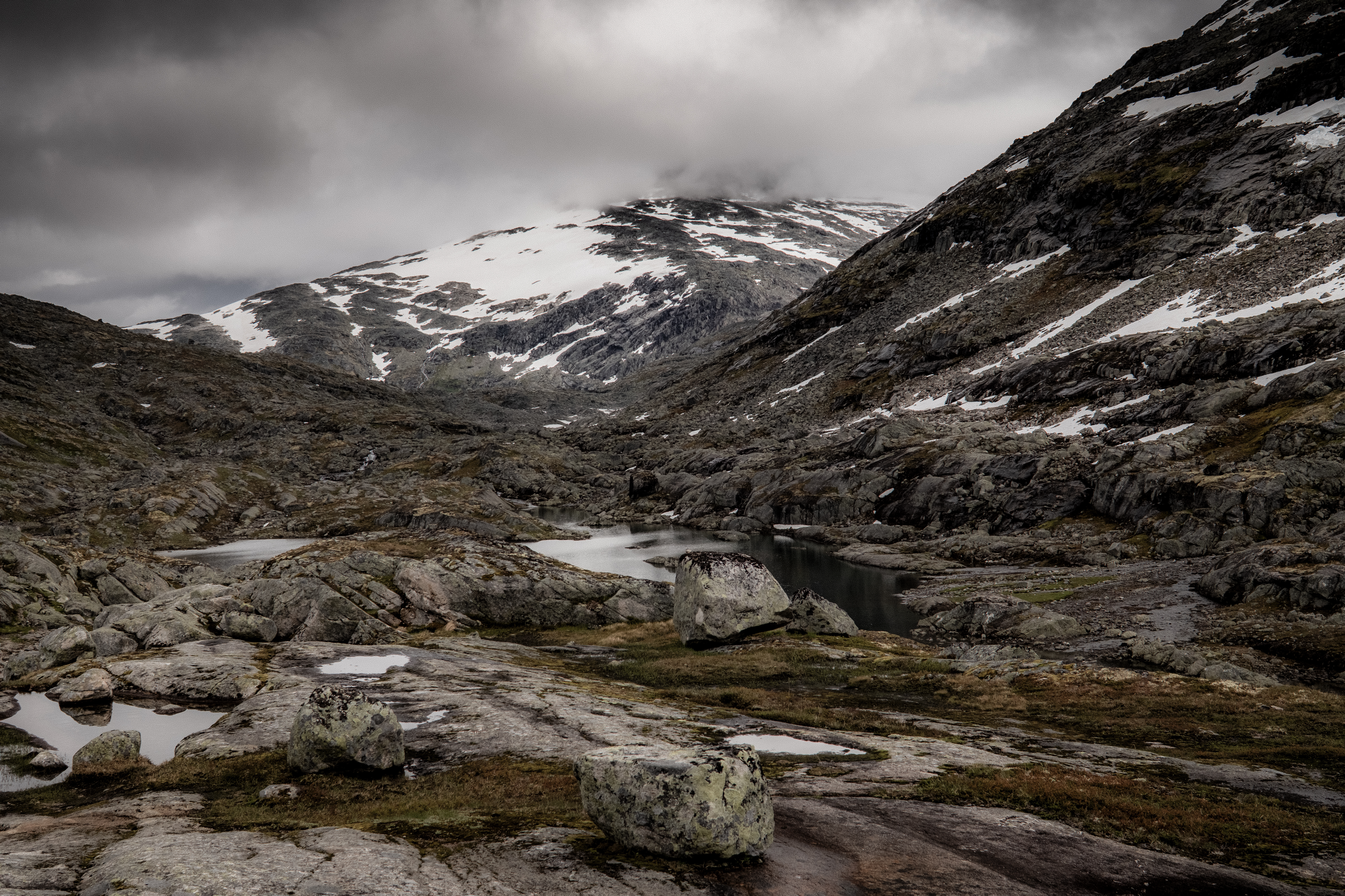
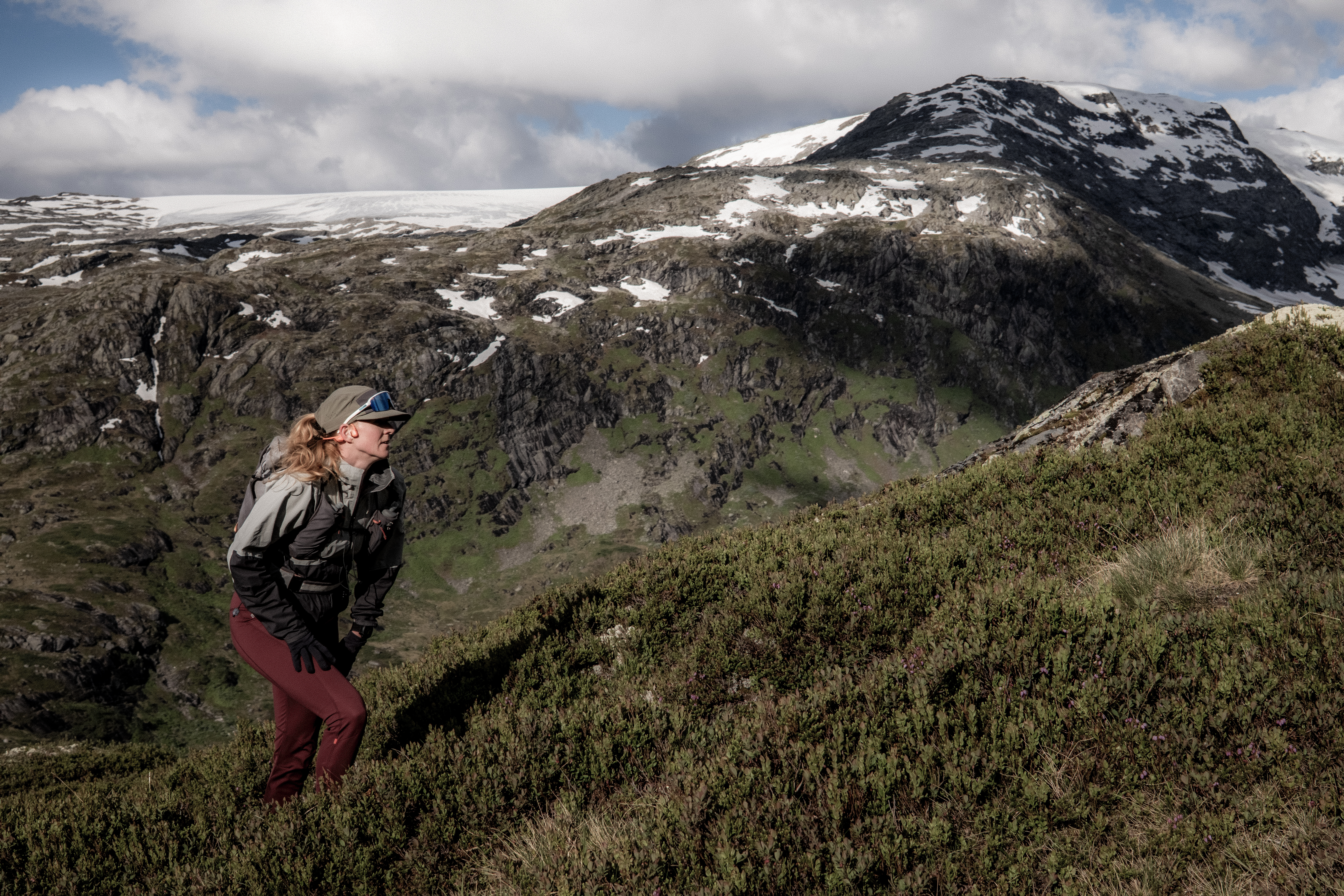
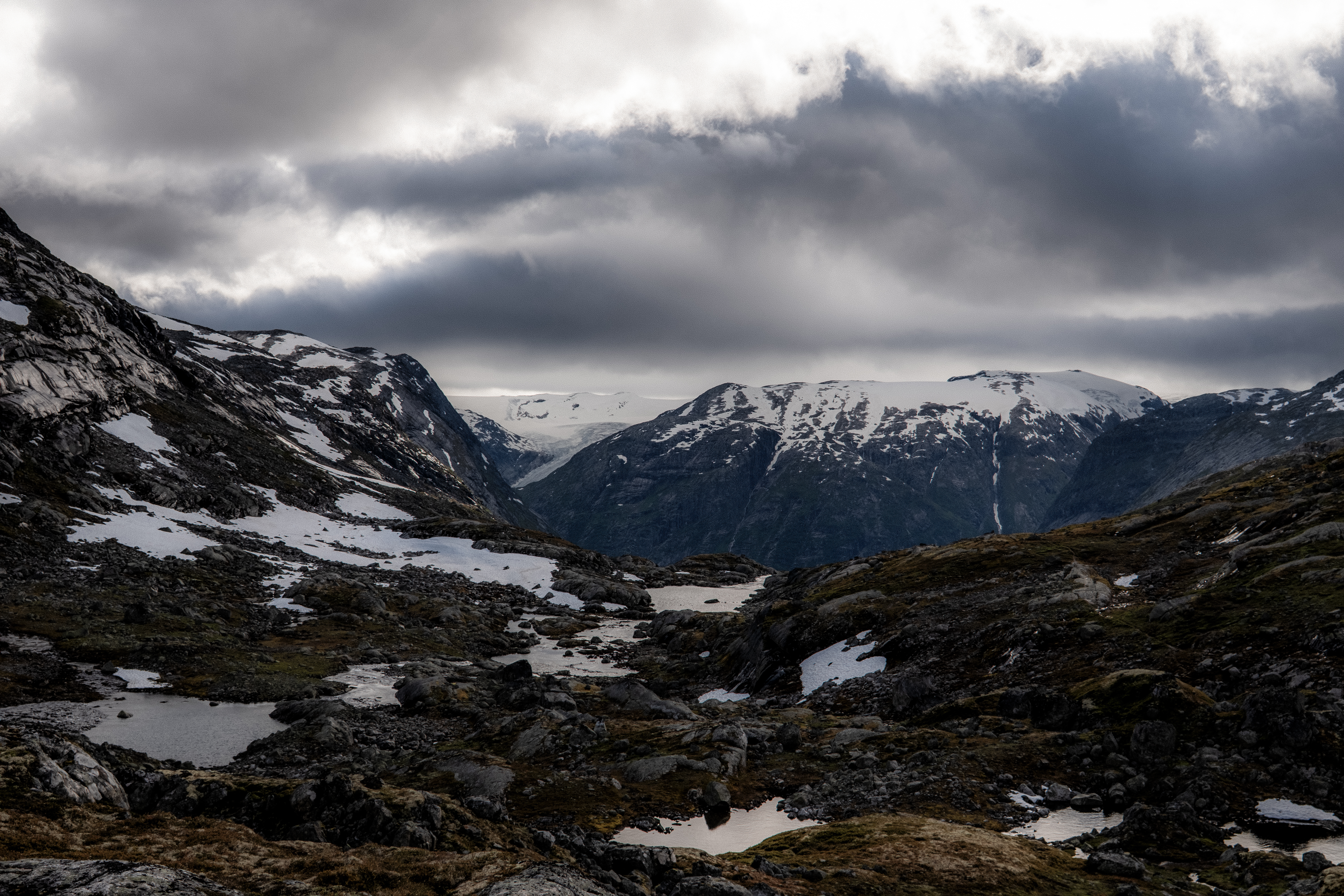
This landscape has been created by the ice age and as you move through the trails, up high, glaciers surround you. It’s magical.
The pace slowed and the ground was sodden – feet were permanently wet and in mud. Abelone makes me laugh, she tries to avoid it (a useless task) whereas I accept the fate and just go straight in.
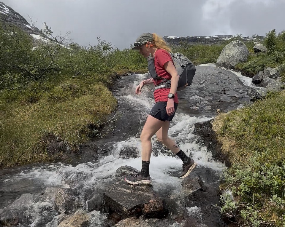
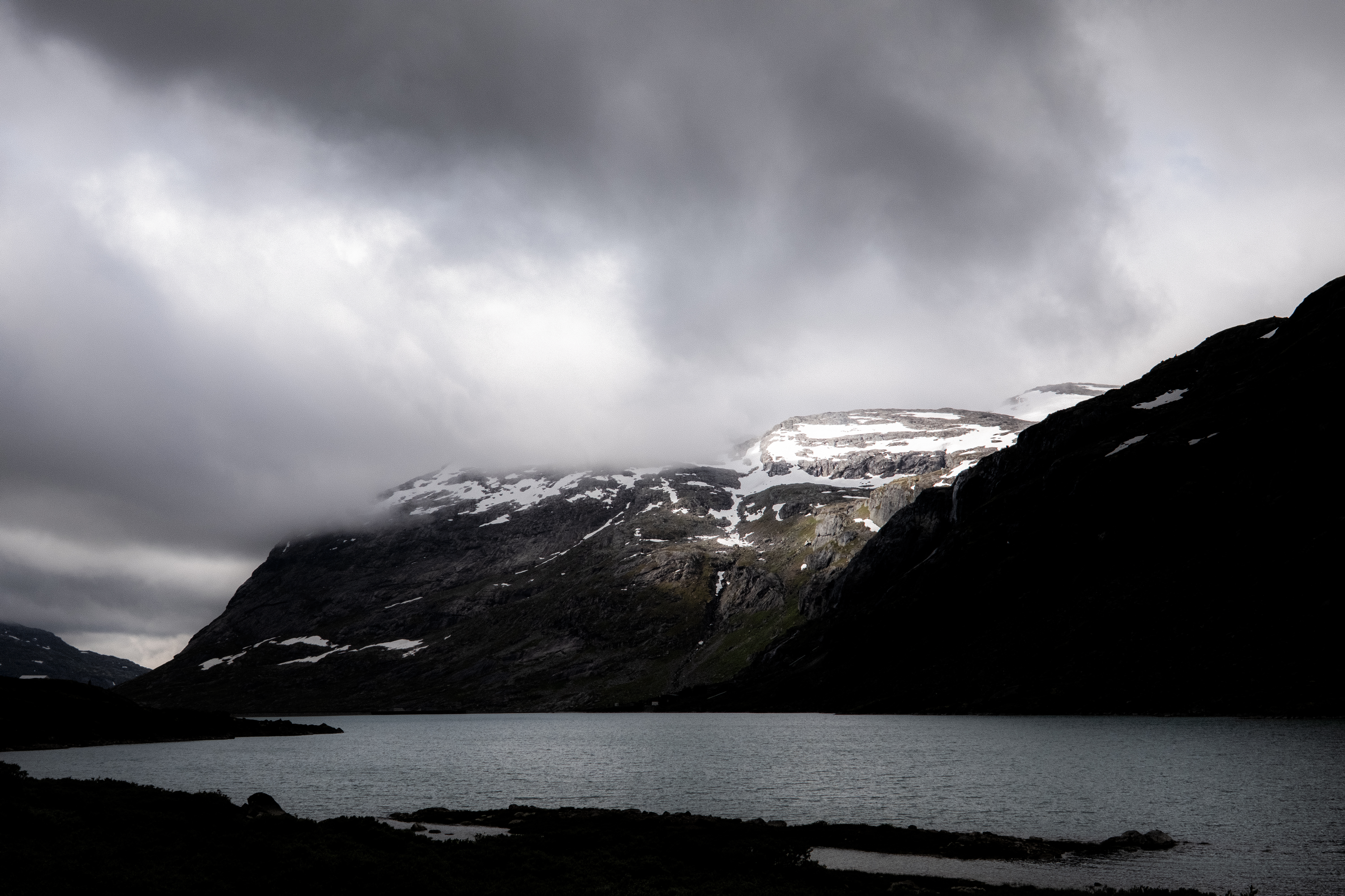
After 10km’s or so, we passed Surtbyttvatnet lake and above towered Syrtbyttnosi peak at 1700m.
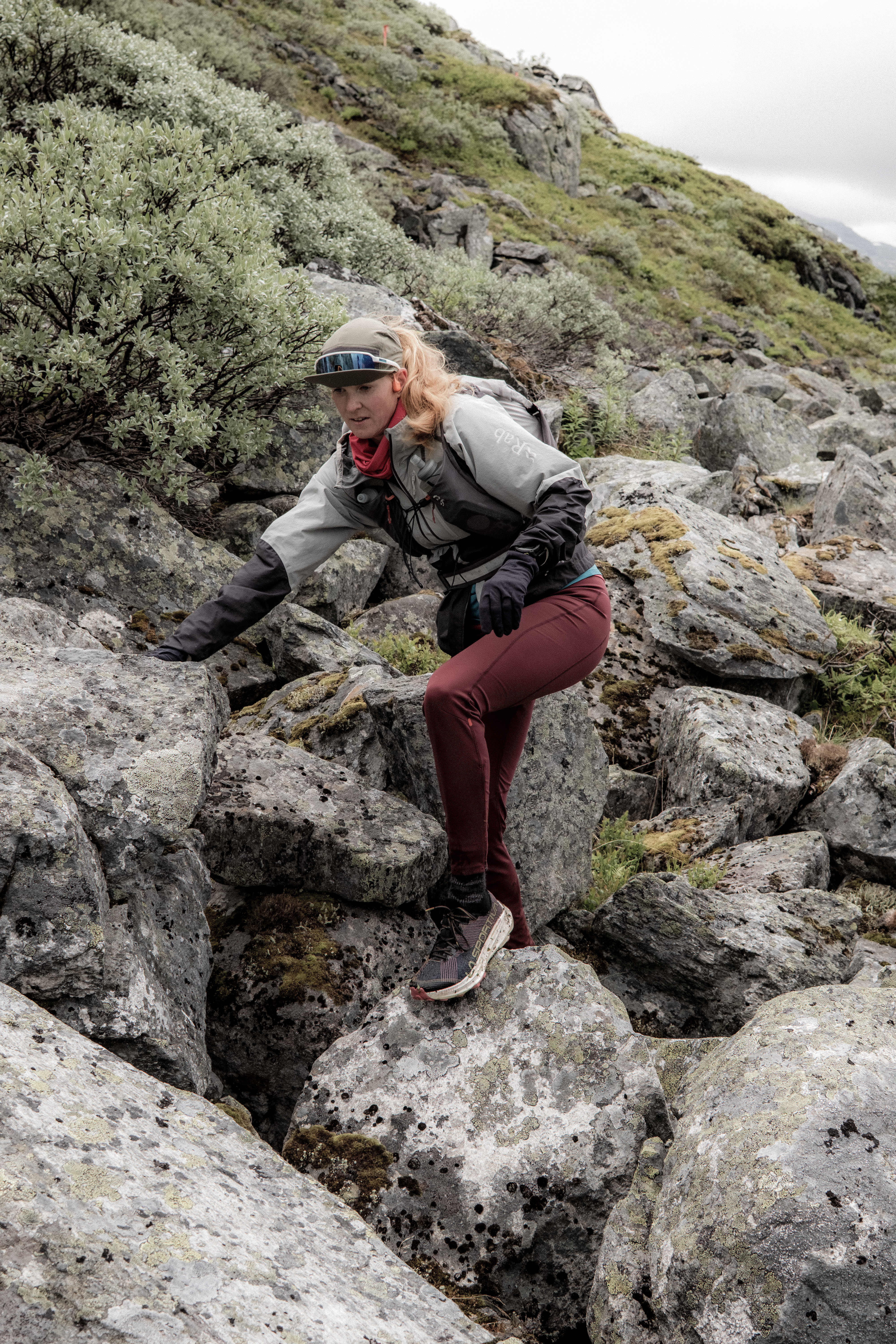
Now we were in the mountain terrain we expected and wanted. Pace is slow, one has to accept that in these scenarios it’s best just to switch off and any wish to move quicker needs to be put aside – accept that the challenge is navigating the rocks, boulders and water crossings.
After 14km’s you start to climb up alongside Sprangdalen and the red ‘T’s which signify the route, while clearly visible, in many ways did not make sense. I had a GPX route and as always, I never look at where the next T is but maybe where the 4th, 5th or 6th is.
Sprangdøla river was in flow from snow melt and the T’s wanted us to cross, but much higher up I could see the Ts were back on the other side – I moved in a straight line refusing to cross the fast-flowing water.
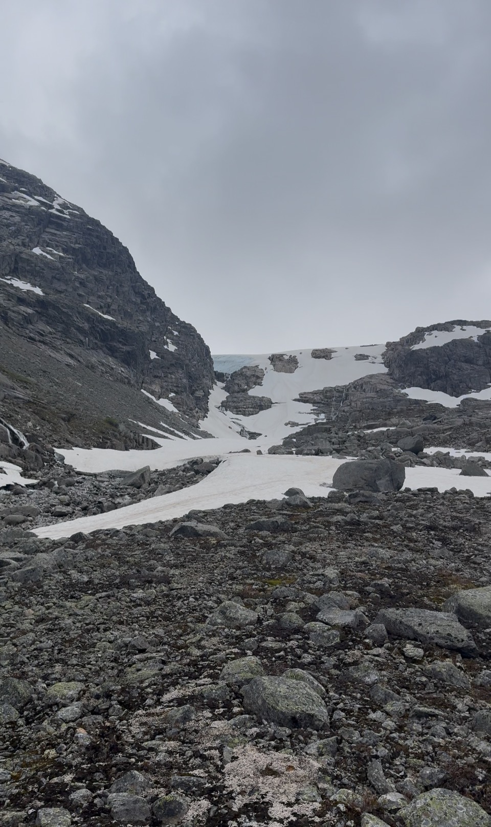
‘The Ts are there for a reason!’ shouted Abelone and off she went crossing the fast-flowing water. I pushed on climbing on the right, Abelone pushed on climbing on the left. I then stopped at a beautiful red T and Abelone was stuck on the other side, water raging and it was impossible to cross – I managed to resist, ‘I told you so…’
There was colourful language, backtracking by Abelone and then hilariously she couldn’t find the place where she had crossed – the sight of her kicking boulders in anger will stick with me for some time. Finally, across the water, she made her way back to me, her head was shaking with confusion, anger and frustration and then it happened – she slowly raised her middle finger and pointed at me with a smile. Maybe my nav error on day 4 of the SAGA wasn’t too bad after all!
In all honesty, I was not having a great day – I loved the terrain, the challenge and the mountains – but I was flat. The estimated distance to Sprongdalshytta was around 18km’s and 1000m+ and the prospect of following on to Arentzbu, another 17km’s was not something I relished.
‘How are you feeling?’ Abelone asked and I honestly replied, ‘I am good but today feel flat.’
‘We can stop at Sprongdalshytta if you like, we have time, we are on holiday…’
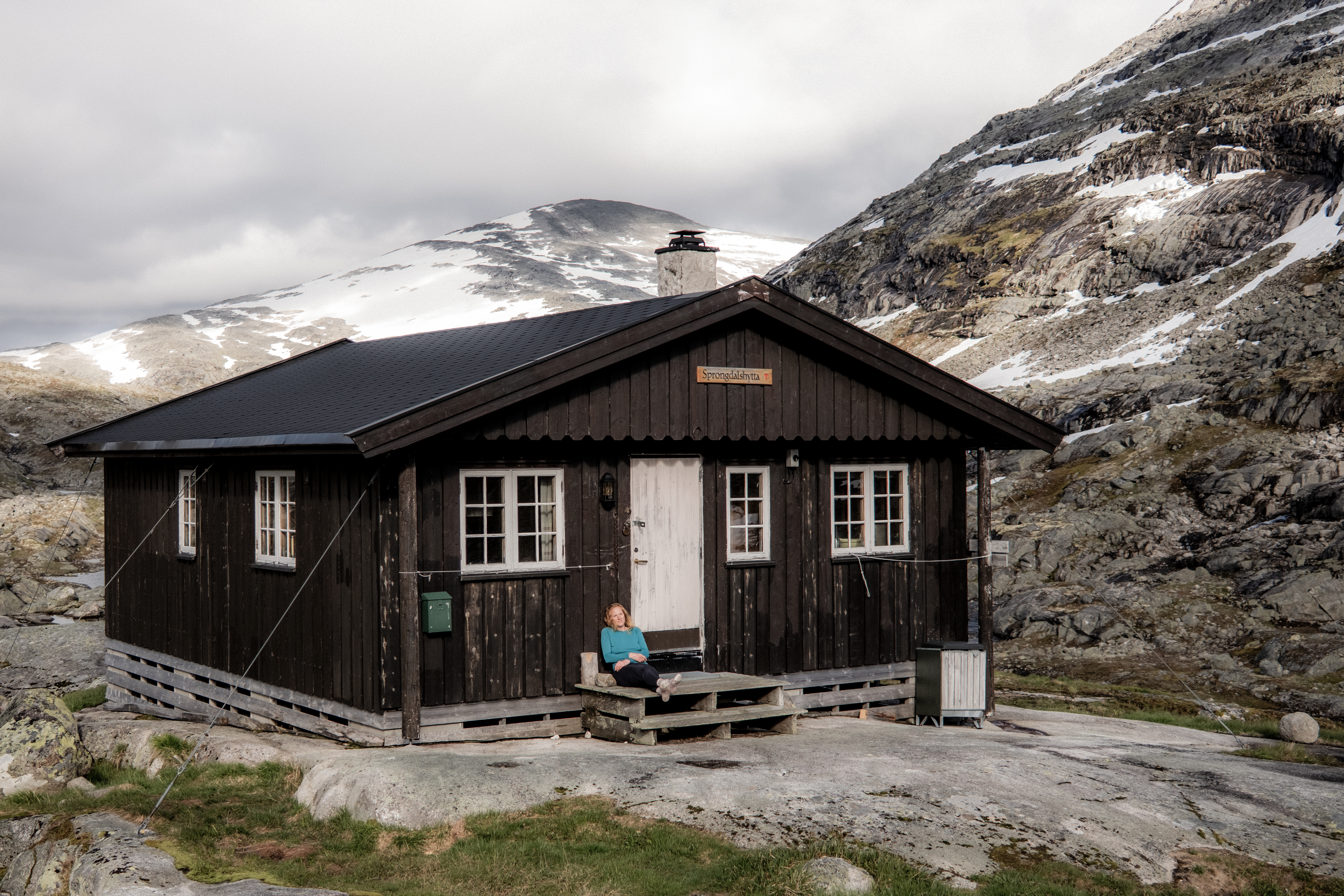
And then the cabin came into sight – it was perched on the edge of the mountain, surrounded by peaks – it was so exposed it was tethered to the ground by steel cables.
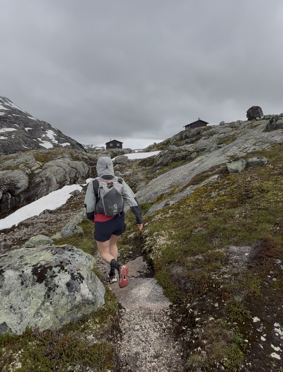
‘We are definitely staying here!’ we universally agreed.
What a place. It has now gained our recognition of our favourite unserved cabin.
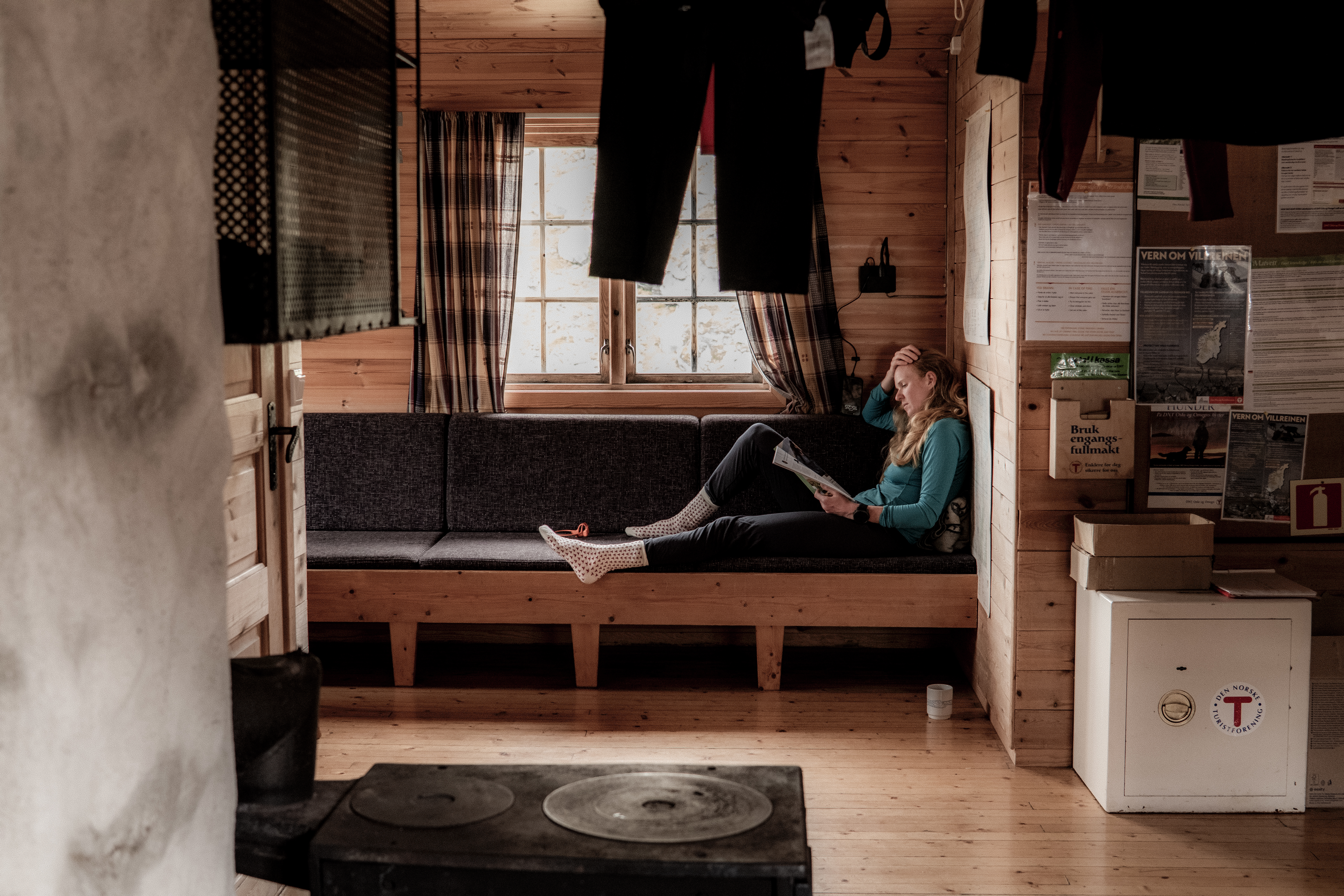
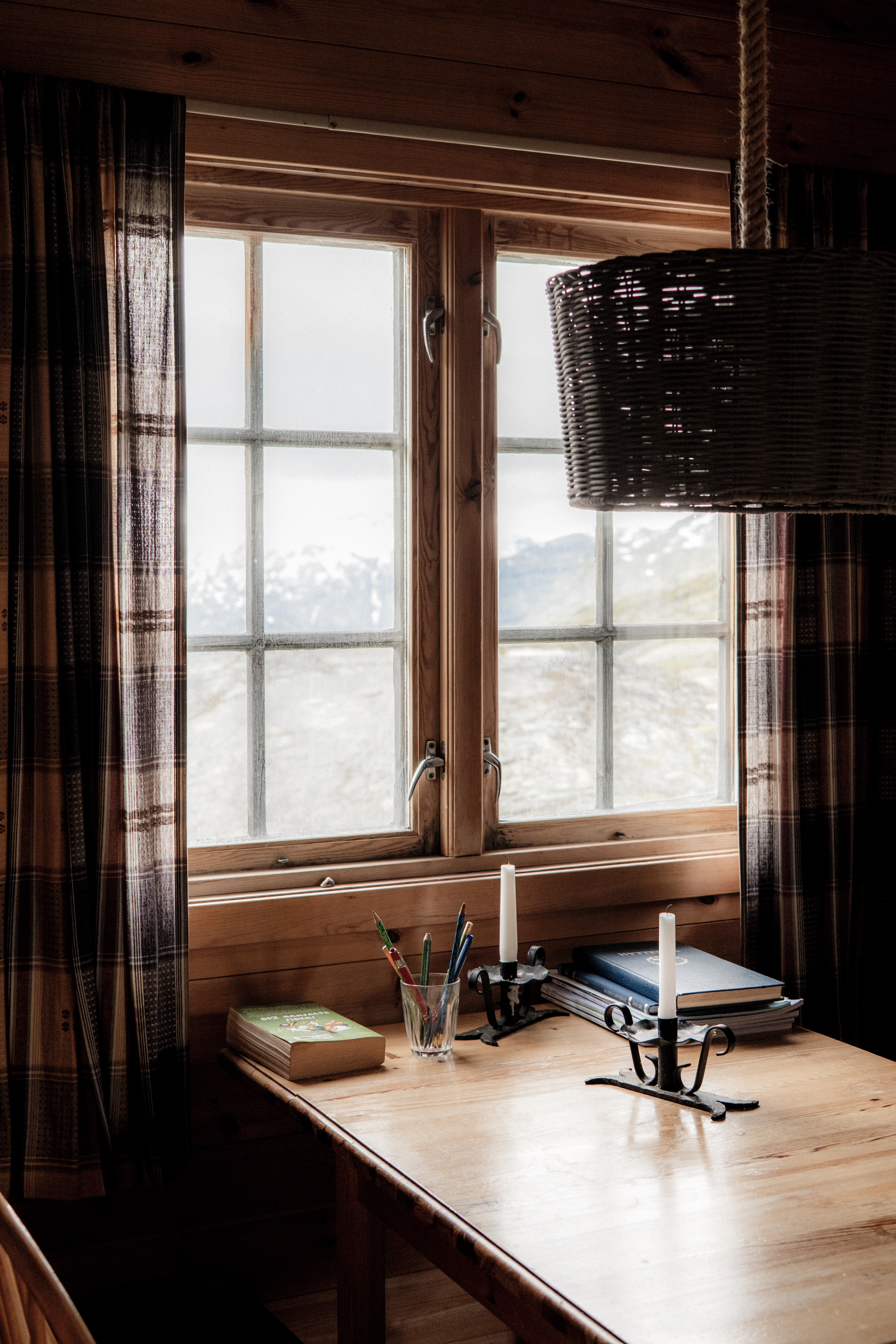
Inside, cozy and warm – we soon got a fire going, checked out the food supply and settled down to an afternoon of relaxation and reading. We were alone.
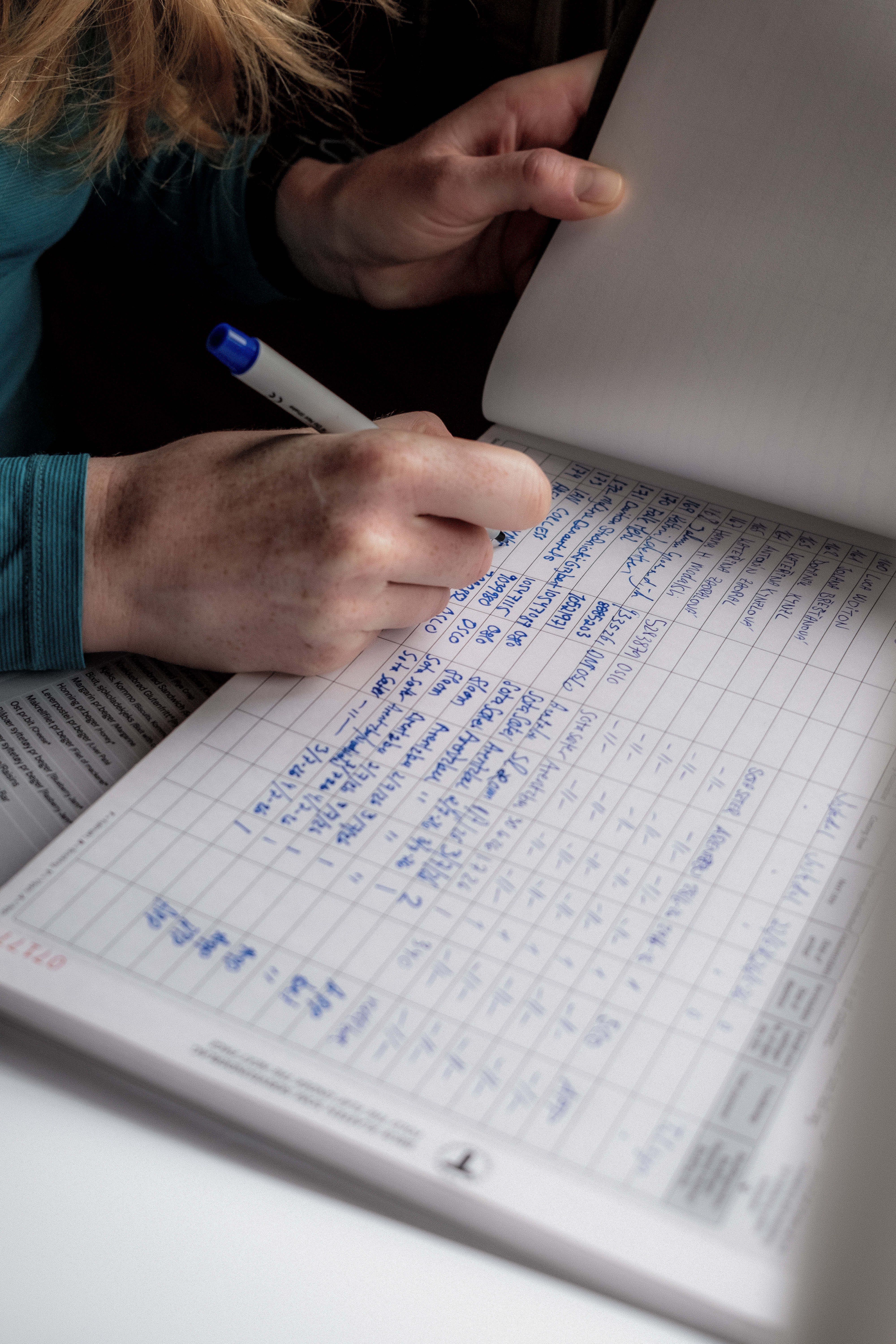
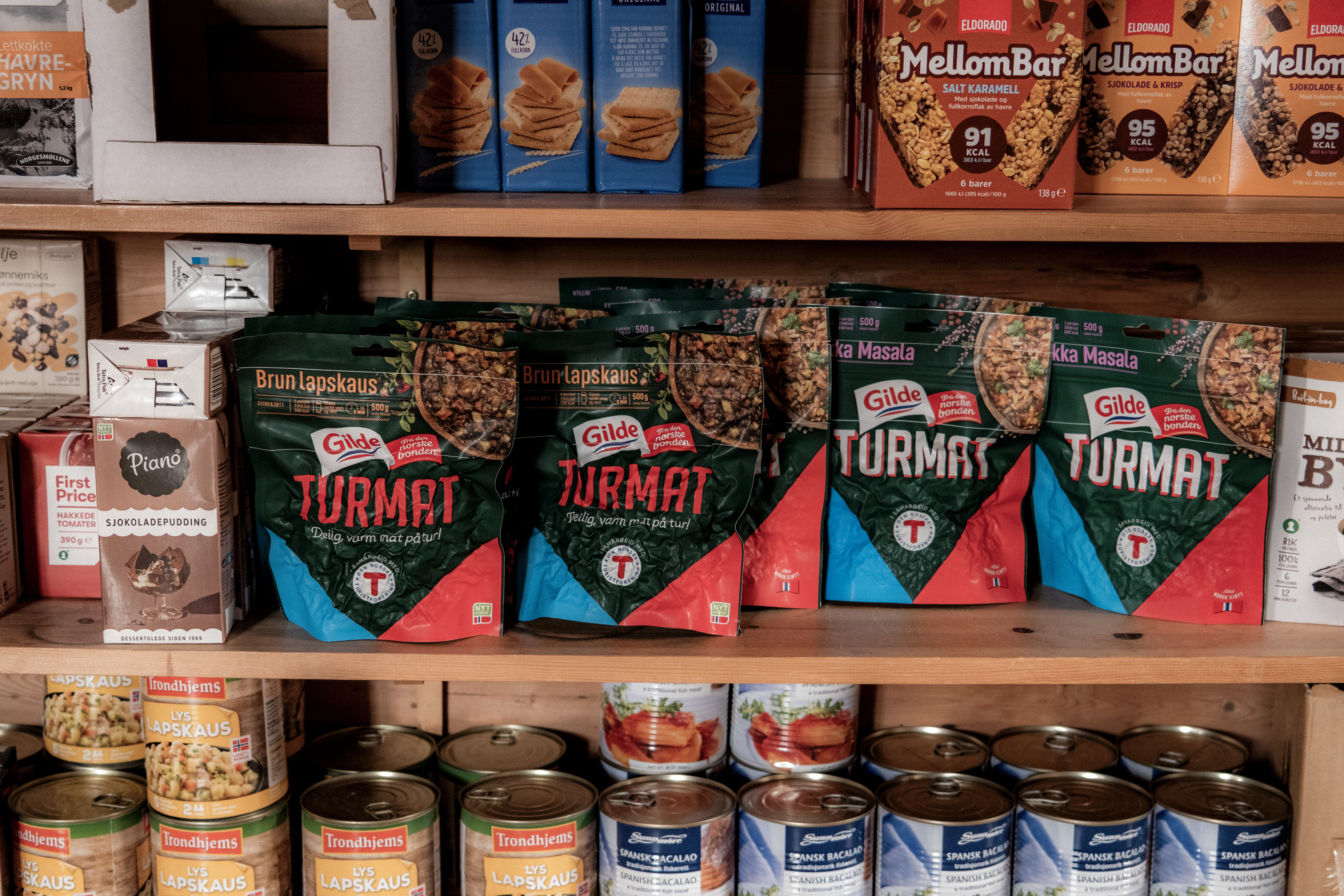
Self service cabins are special and they make ‘fastandlight’ possible – there is a food store so you do not need to carry food. There is a bed with a duvet and pillow, importantly, you must have your own sleeping bag liner! To access you need to be a DNT member and you need a key so that you can access the cabins. Download the DNT app on your phone and you can pay for your stay and what food you use in an automated way.
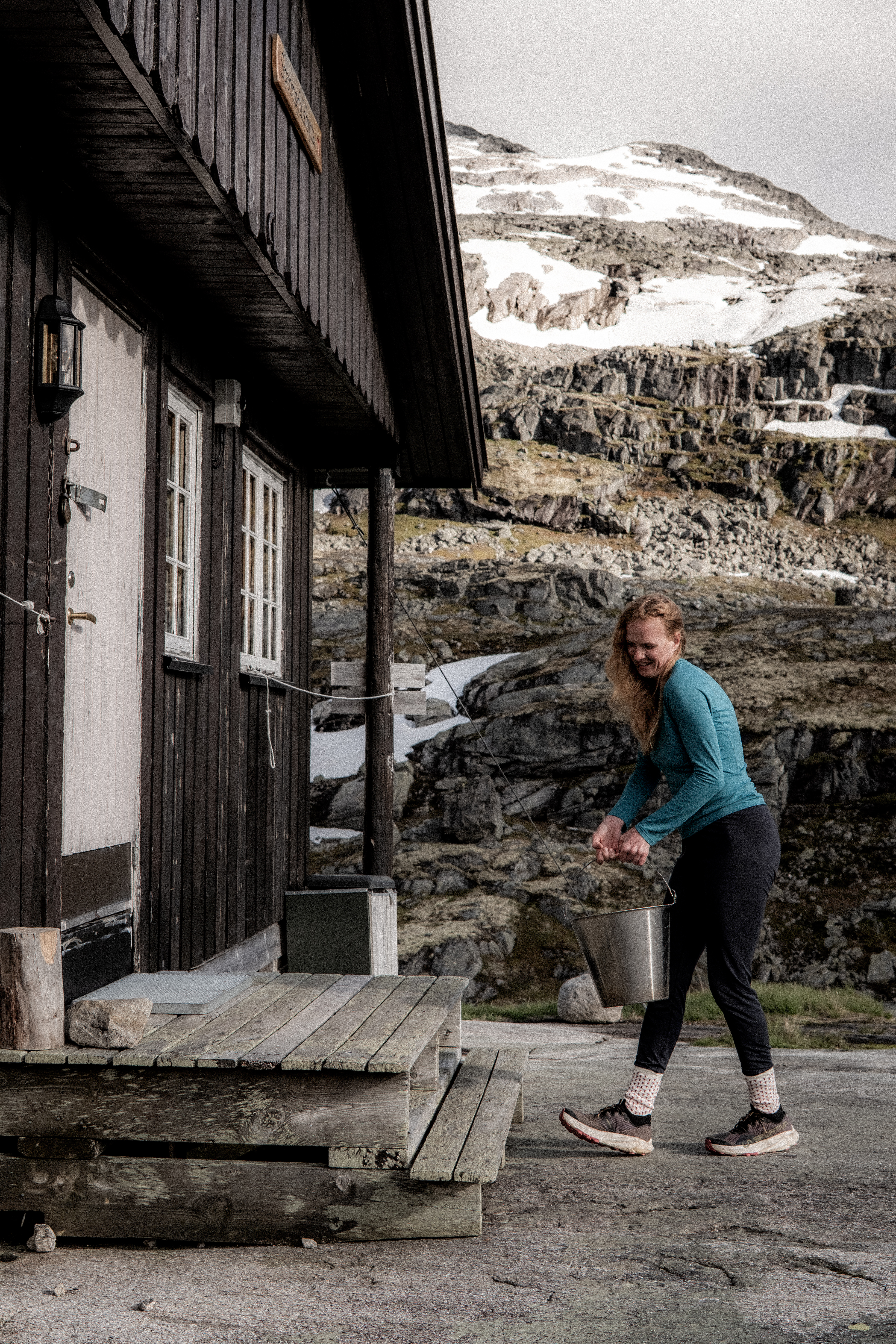
Water often comes from a stream.
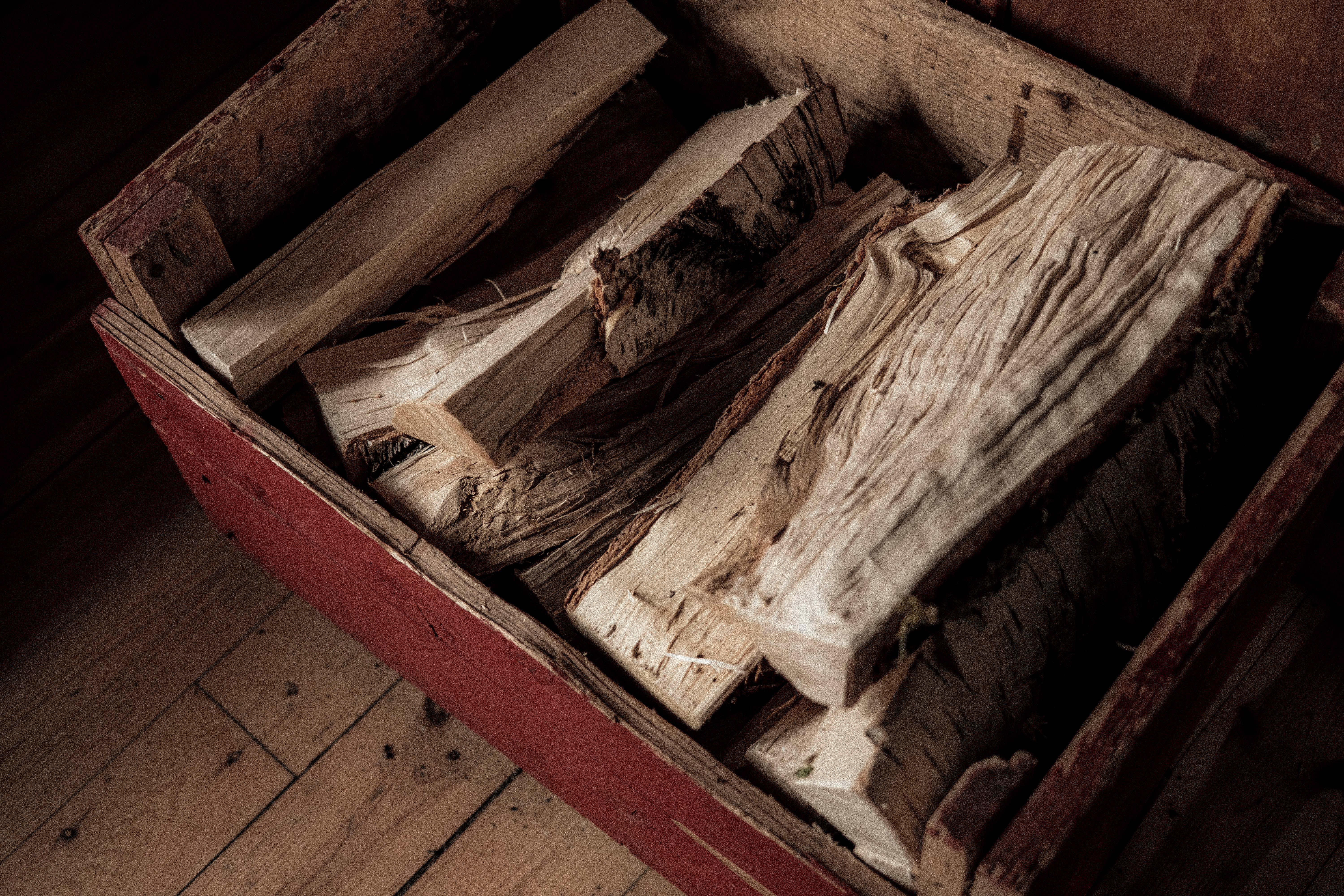
Fire wood is available for warmth and comfort.
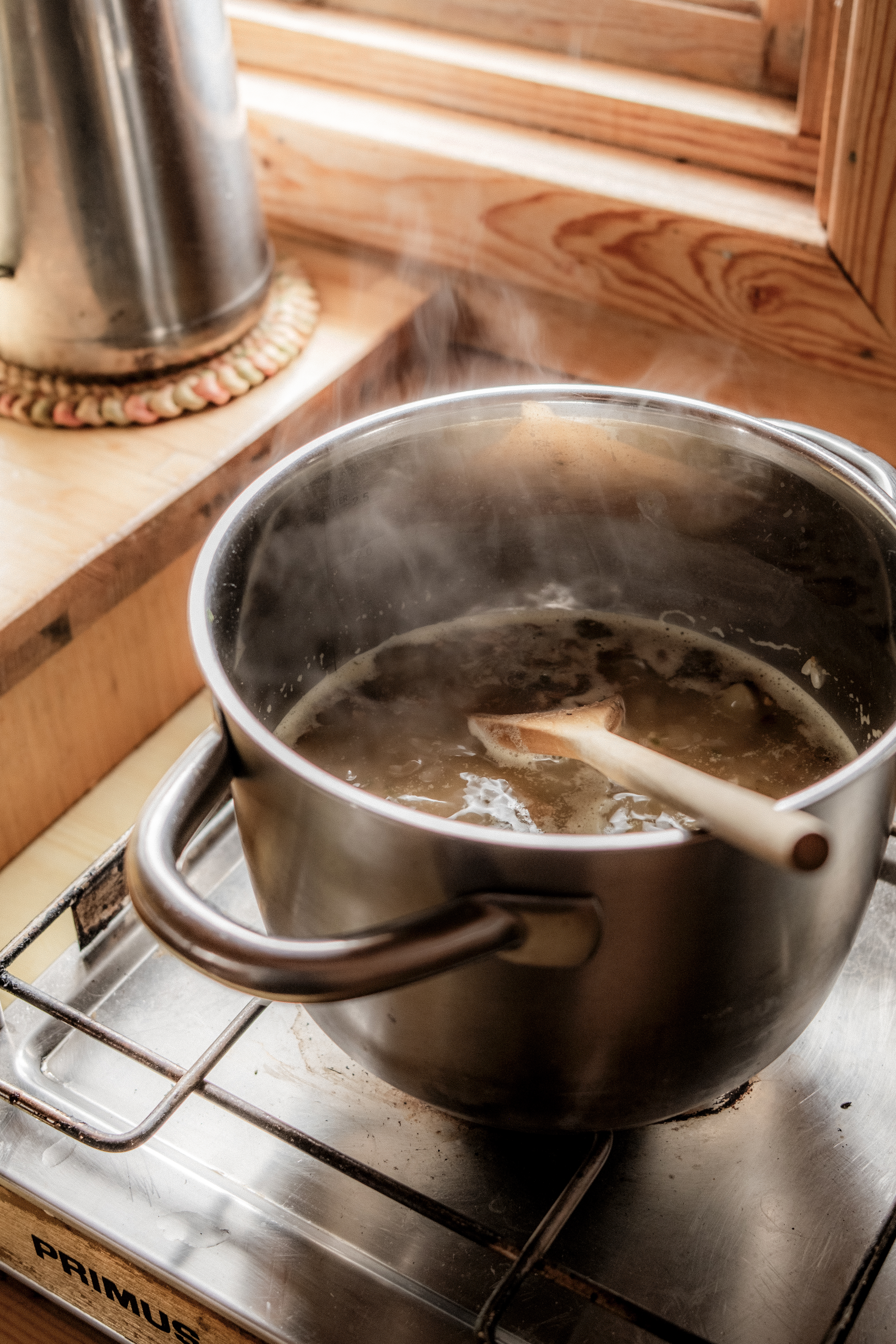
There are cooking facilities – a home from home.
Later in the day we were joined by one hiker, we effectively had the place to ourselves and what a place!
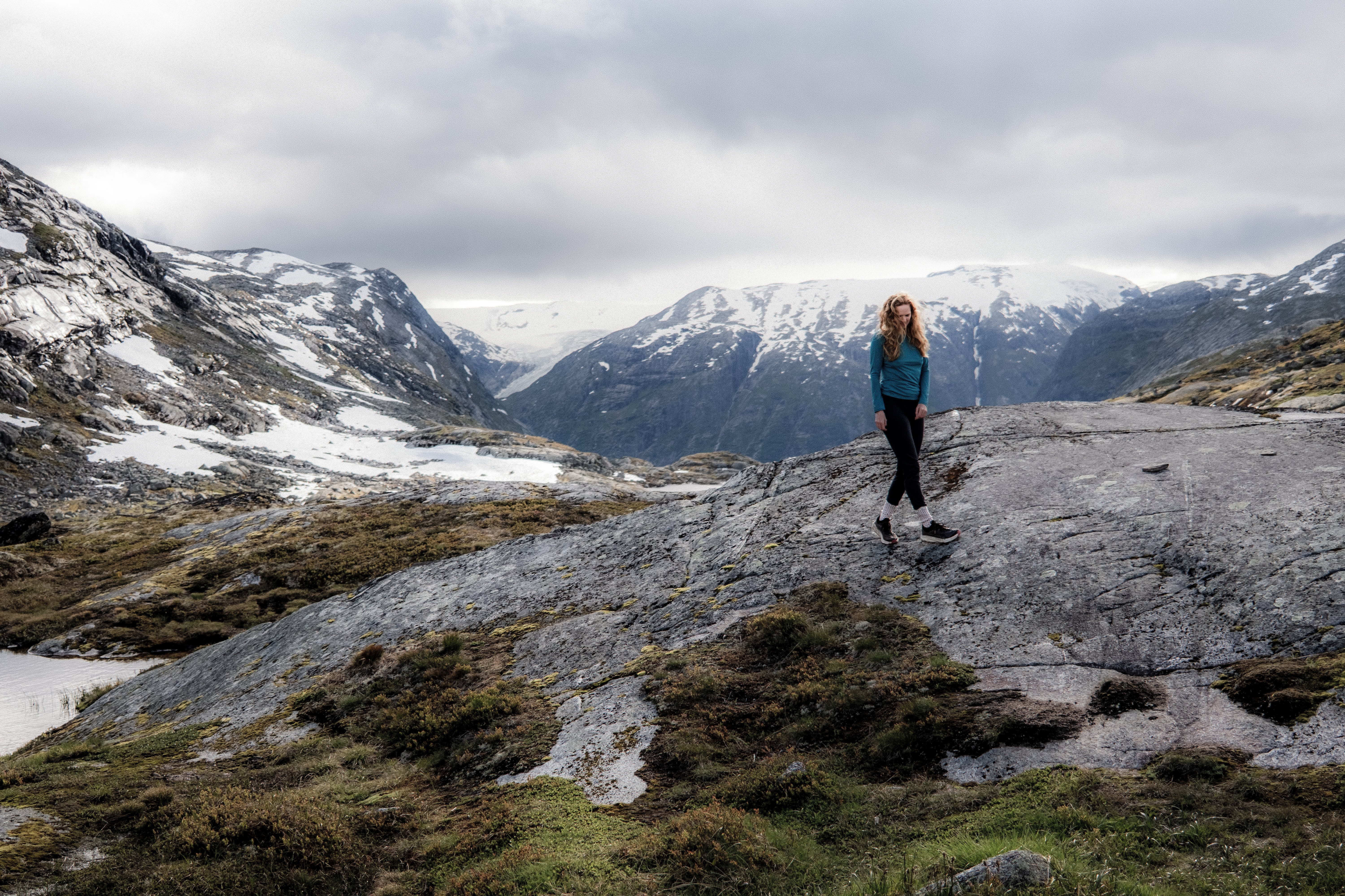
Day 2 – 17.6km 573m+ 4h 01min
On paper, this stage to Arentzbu was going to be easy. ‘It’s mostly downhill’ I said.
Welcome to Norway, welcome to Breiheimen.
This place humbles you in a very good way.
Breiheimen is wild and I love it. We awoke and as always, I took a look out of the window… argh, I am inside a ping pong ball. Cloud and rain had arrived and we were in the thick of it.
Layers on, waterproof jacket on, gloves on Garmin InReach turned on and we started the day climbing up to the snowy mountains above us.
My camera never made an appearance today, at least until inside the cabin, the weather was too wild.
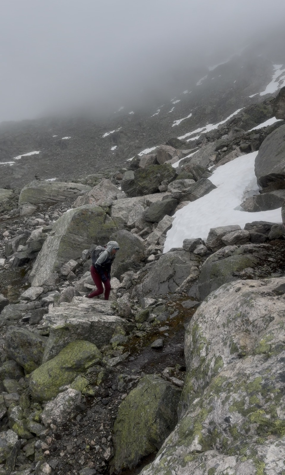
The trail twists and turns navigating through the rocks, boulders and snow. As in the previous day, looking ahead and referring to GPX is the best way to navigate – this provides the big picture and picking a point ahead and navigating to it is my preferred method than going from T to T.
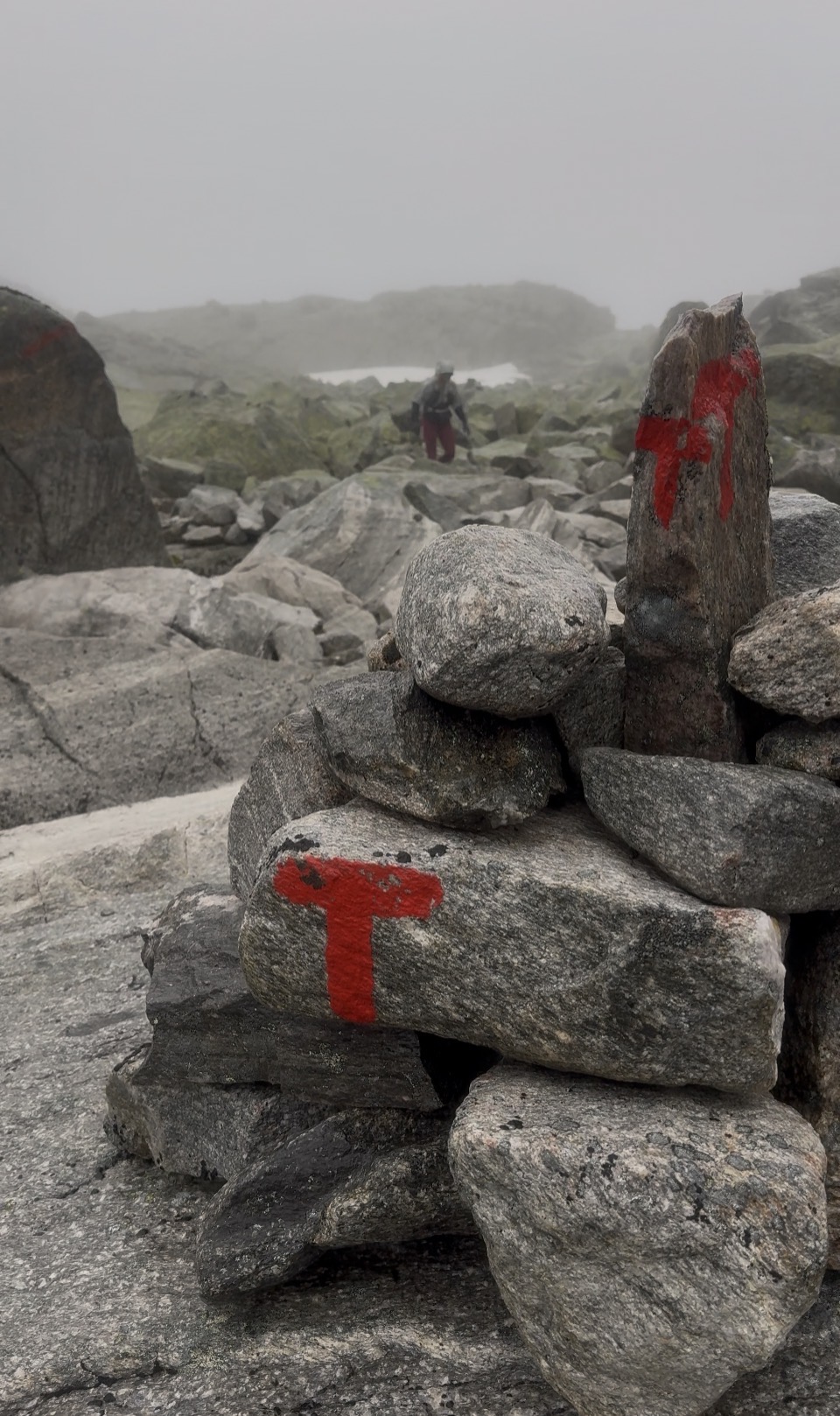
It was tough terrain.
Slippery, wet, uneven and the persistent rain made this a PURE Norwegian day. In contrast to SAGA, this was wild and remote.
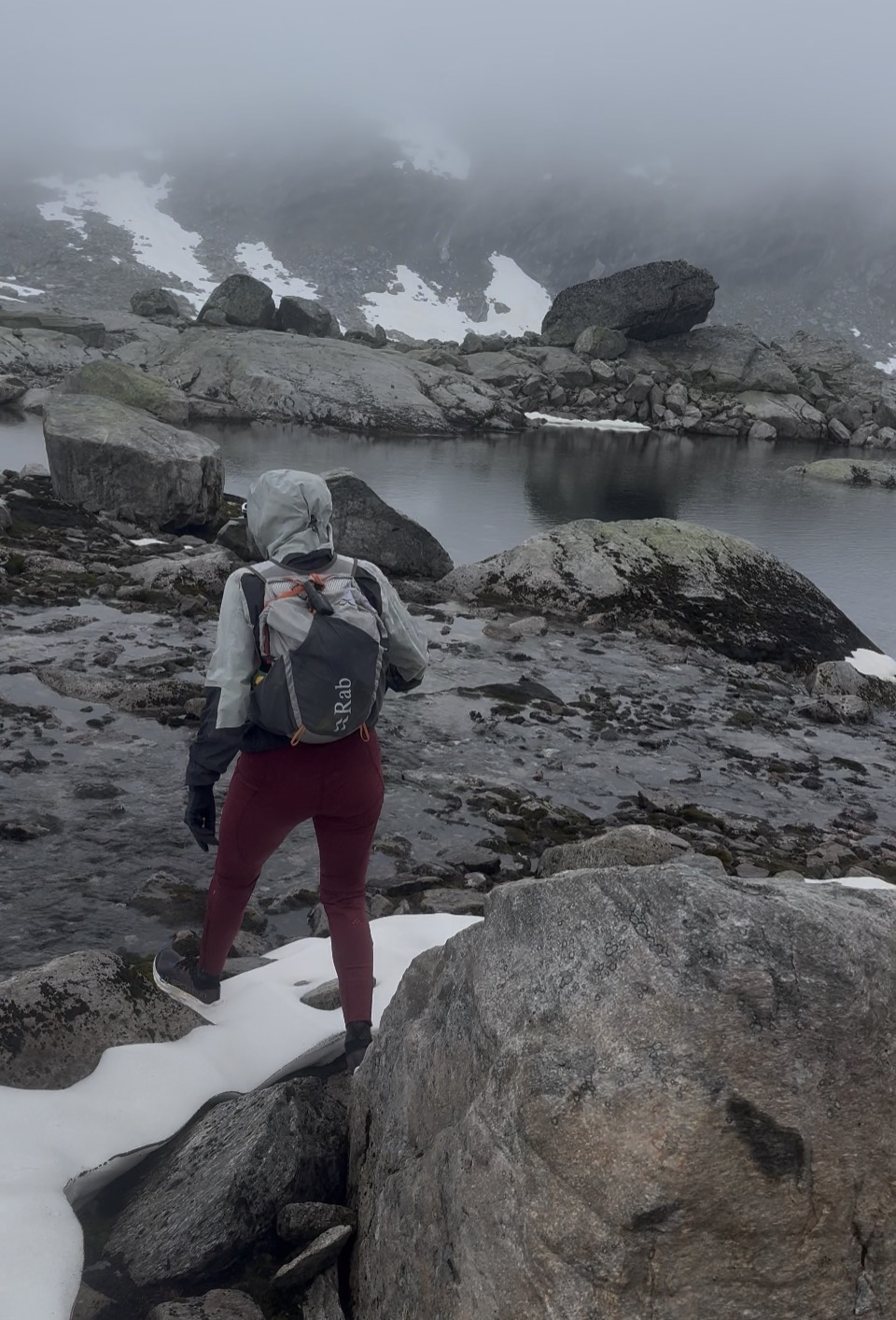
Gluggevardvatnet (1429m) a large lake was a key point with a short climb after then effectively we were going downhill to Arentzbu.
‘Bloody hell, I am seriously glad we stopped at Sprongdalshytta last night; this would have been miserable yesterday!’
There was part of me that hated to say it, but I was correct. Had we done the double day yesterday, for sure we would have got it done but it would have been a seriously tough 8 to 10-hours.
If you haven’t already realized it, never read too much into distance in Norway – 2km’s can take 1-hour!
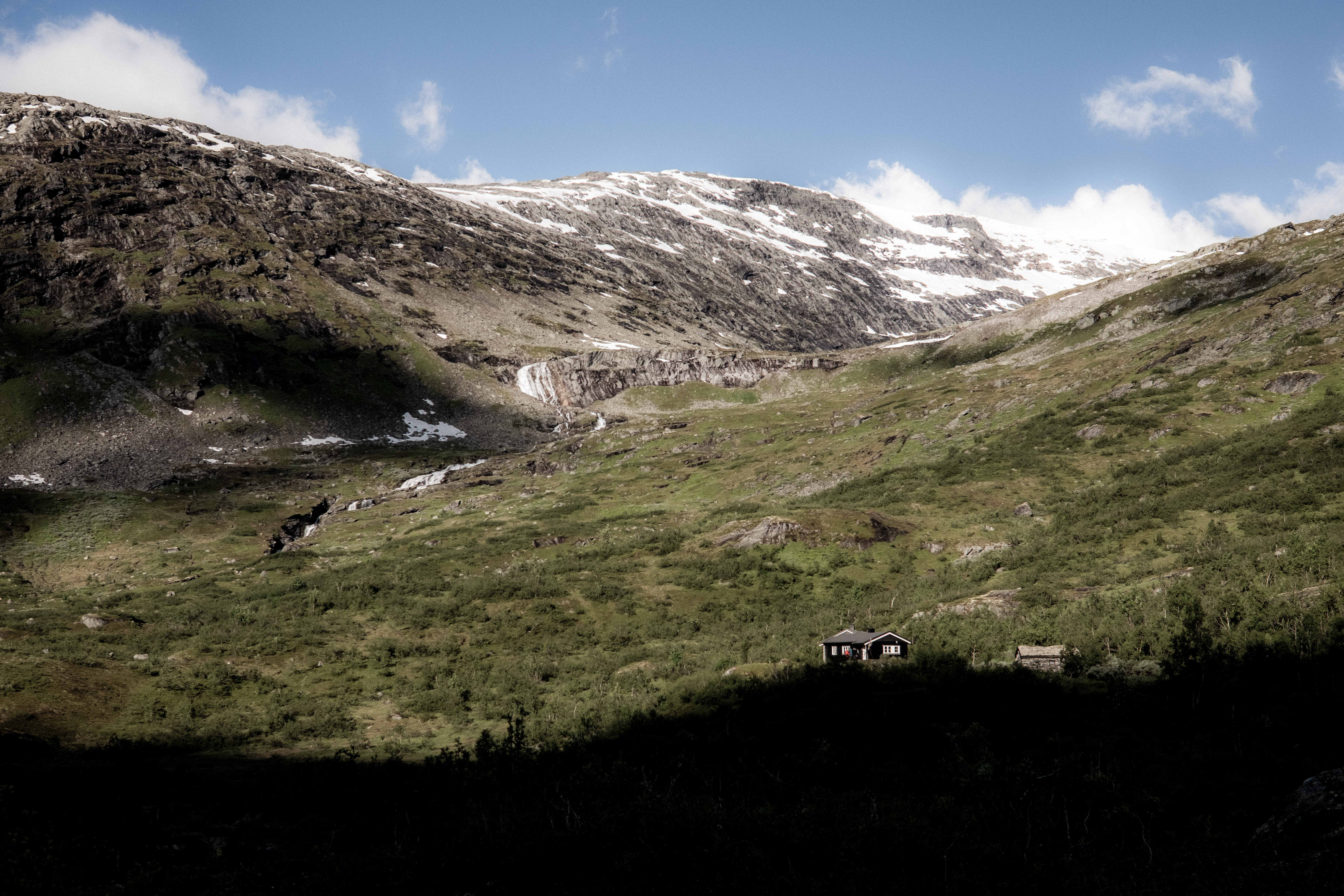
Following the trail through green and wet terrain, Arentzbu revealed itself nestled in a lush green valley surrounded by mountains – a real contrast to Sprongdalshytta.
There were two cabins and, in the cabin we chose, there were three Danish guys who ironically were chilling after a night in the cabin.
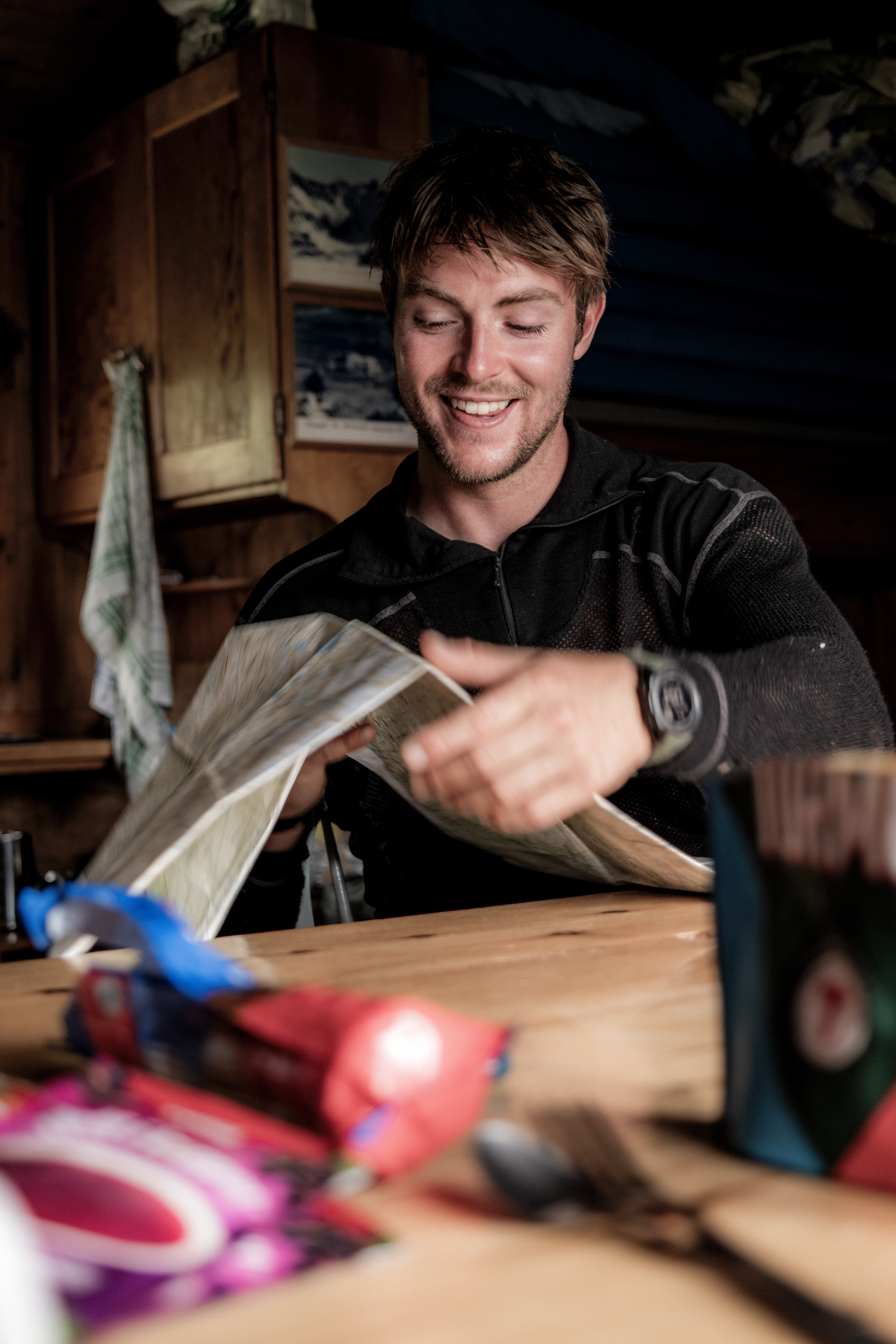
It was midday and for me, I was expecting that they would stay another night, but no, they were just late starters. We shared chat, a fire and hot drinks and by 1500 they were gone.
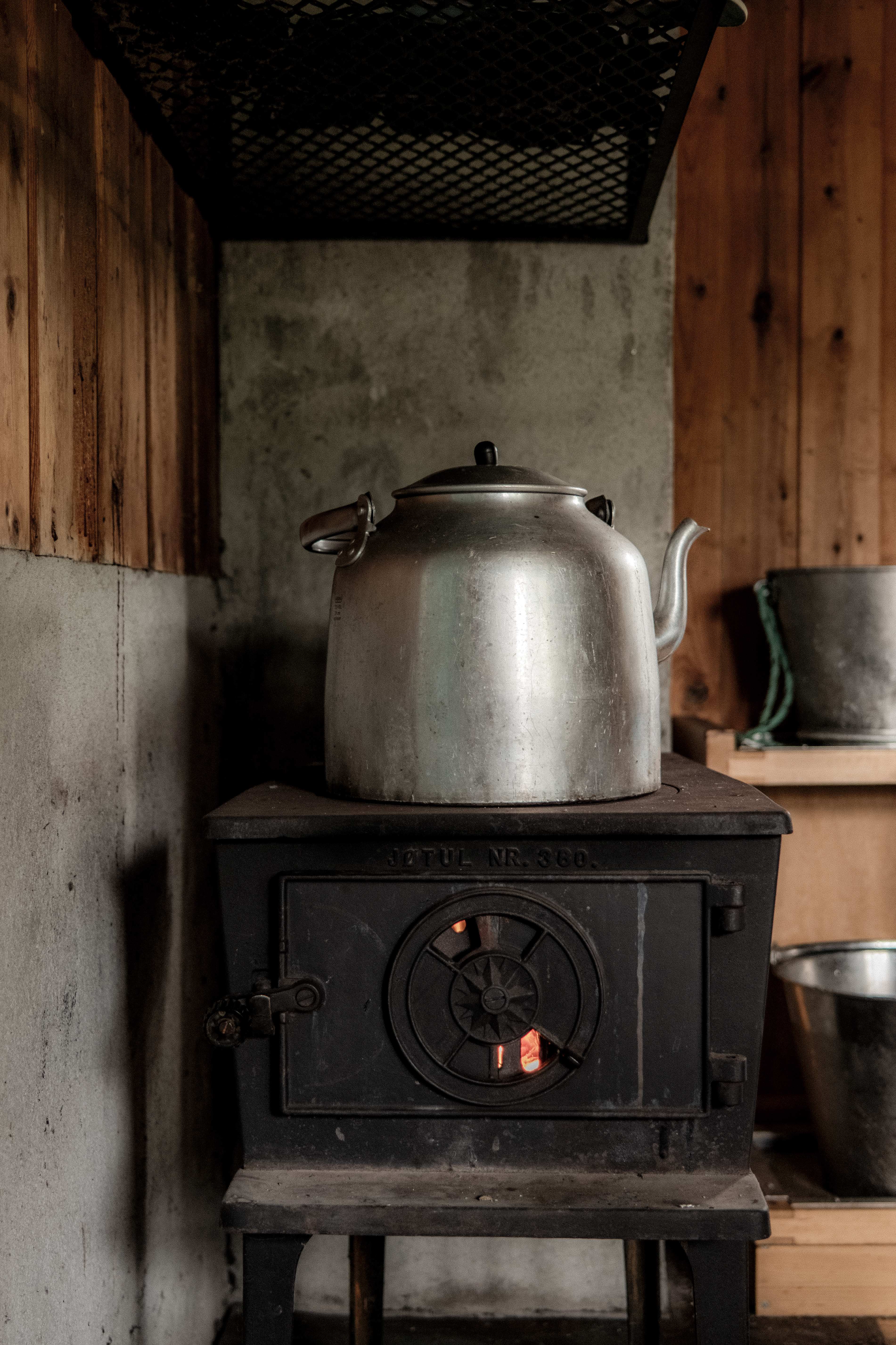
Abelone and I settled down, fire blazing – this is the life.
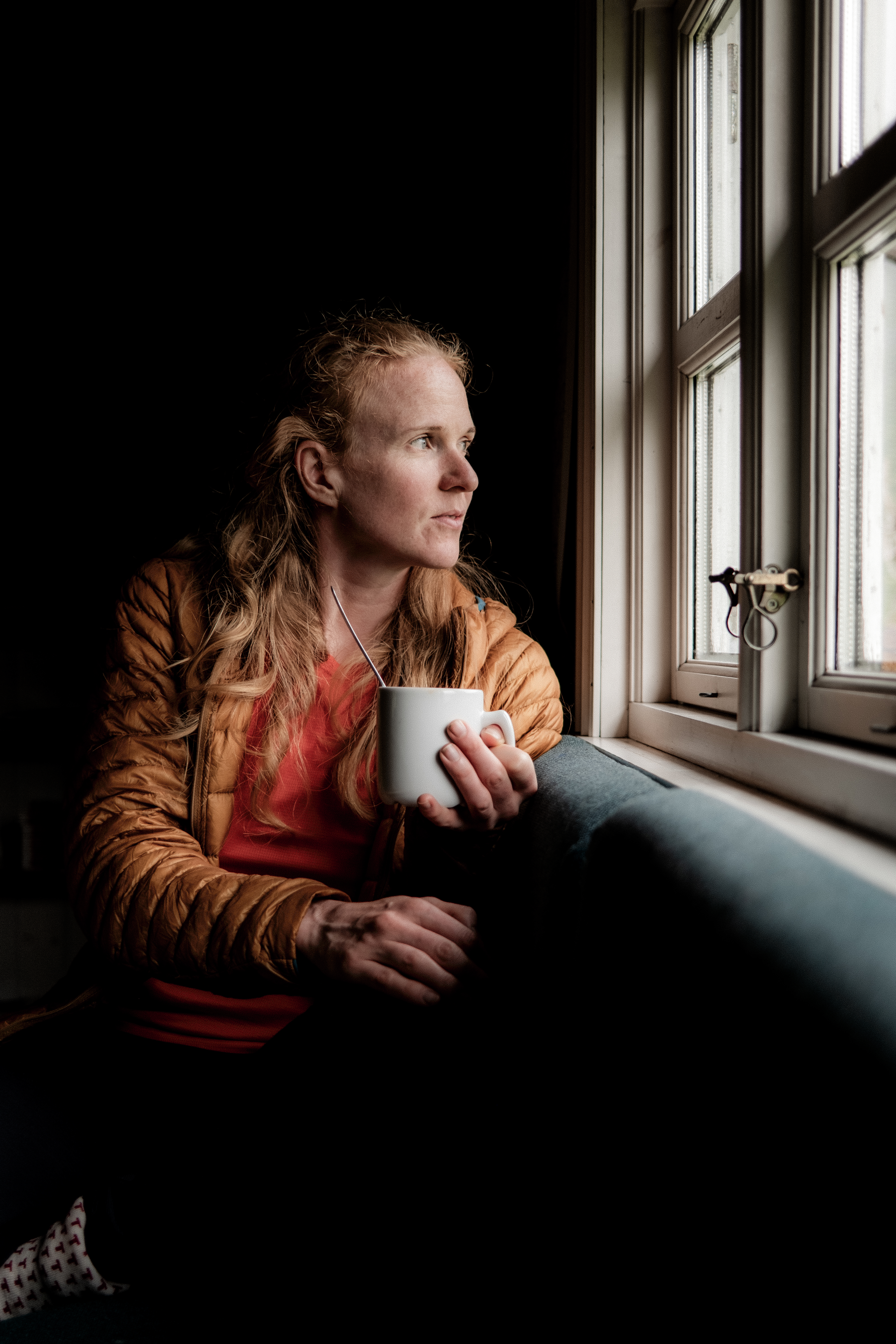
The door opened and two very wet and exhausted Dutch guys entered the cabin. It was around 1800hrs, and they looked a little traumatized. As always, we welcomed them, offered hot water and helped them settle.
They had come from Nørdstedalseter, this would be our day 3, approx 17km’s and 1000m+
It had taken them over 10-hours and the final km’s hadmost definitely had an impact – they complained of the mud, the cold, the slippery conditions – ‘Welcome to Norway’ Abelone and I confirmed.
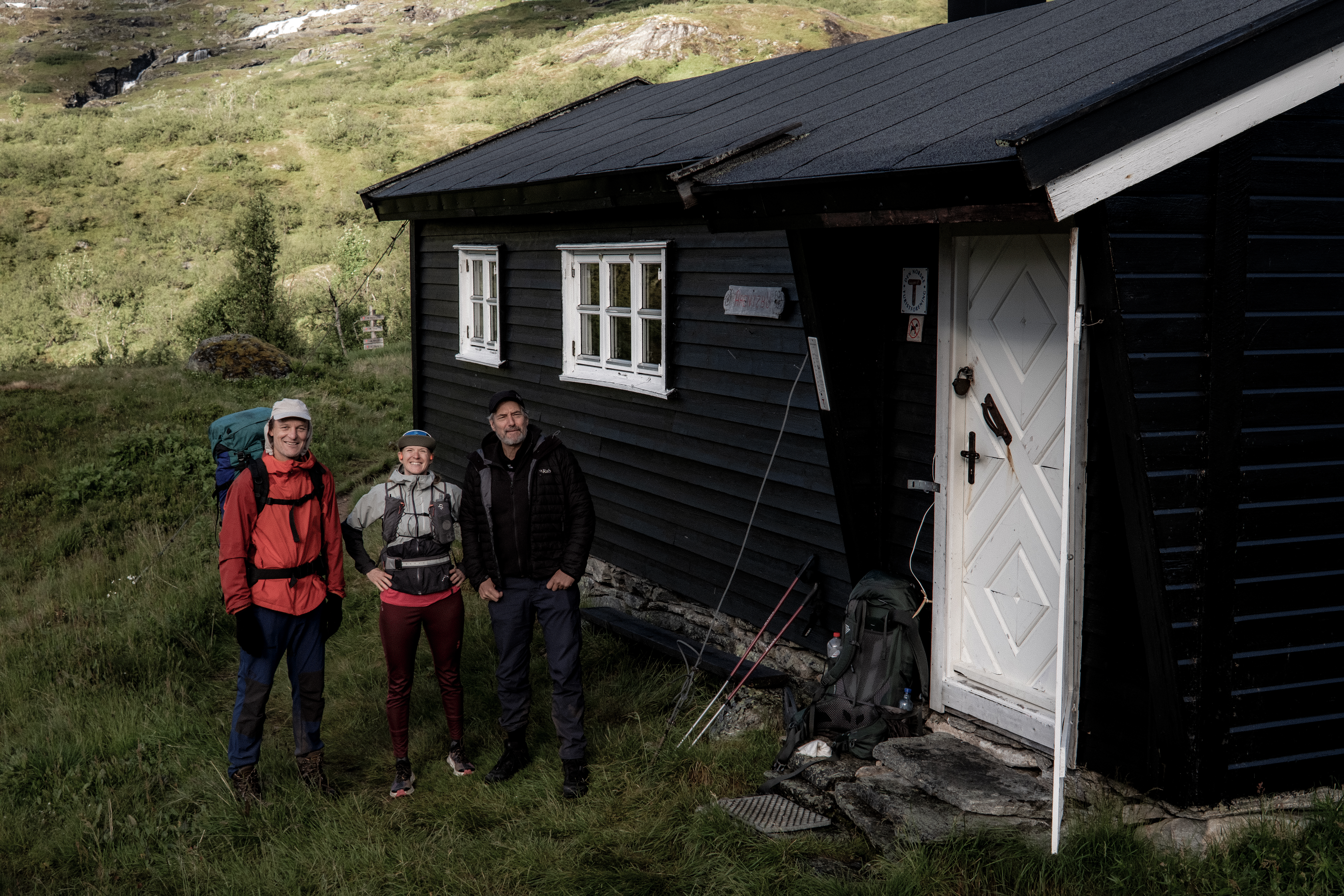
A cellist and a script writer – we enjoyed an entertaining night sharing stories, one of the joys of the cabin-to-cabin experience.
Day 3 – 16.91km 1059m+ 3h 48m
Nørdstedalseter was our destination today, a cabin Abelone and I know well. This cabin was the end of Abelone’s day 1 doing MASSIV in 2025 and as such it holds a special place. It’s in an amazing location, has great rooms, a shower and serves great food – what a treat!
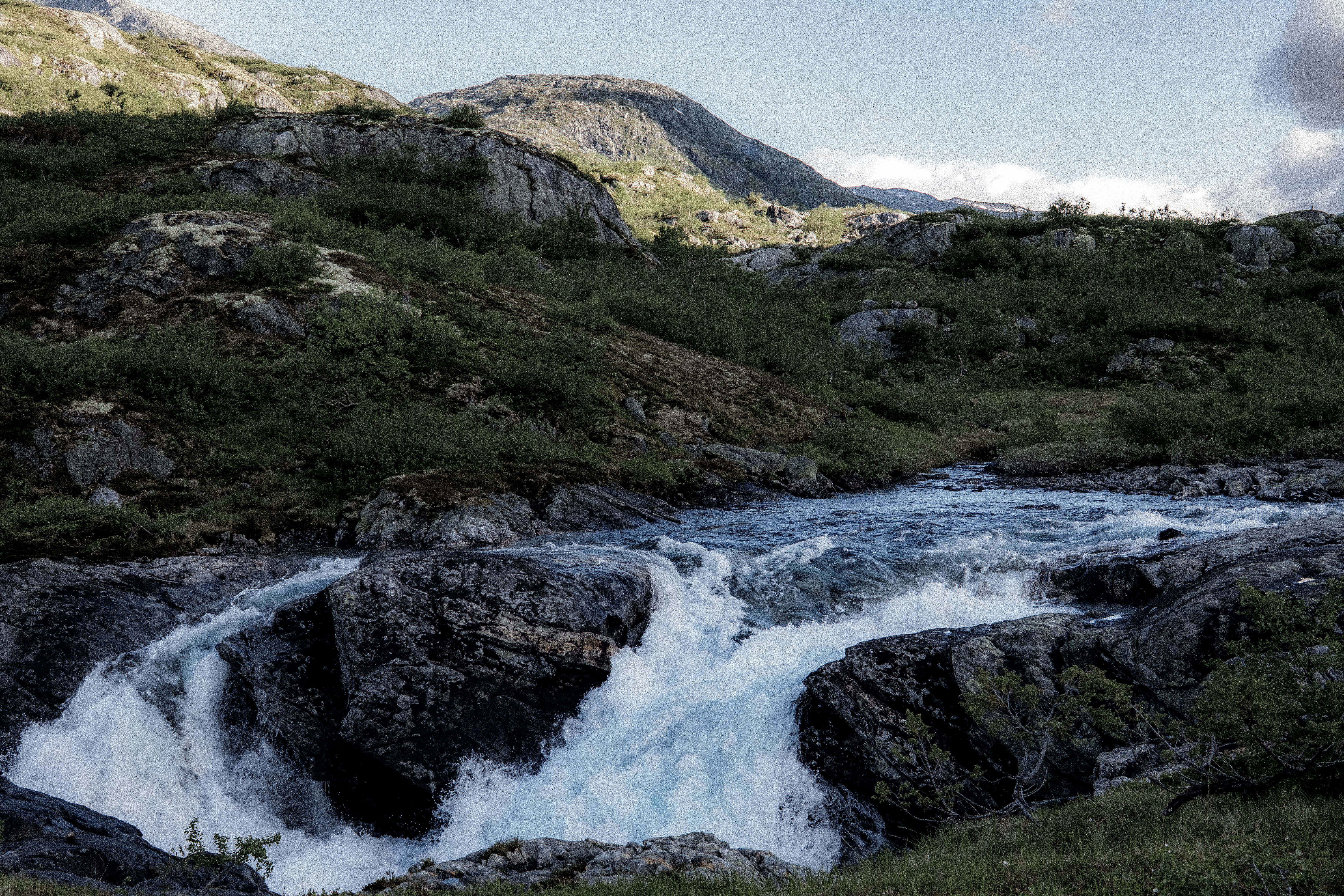
The sun was shining, the sky was blue, and the landscape was magnificent.
The first 2km’s were boggy, wet and slippery. A mud fest. We then turned left and climbed up and up through a tight twisting trail of mud.
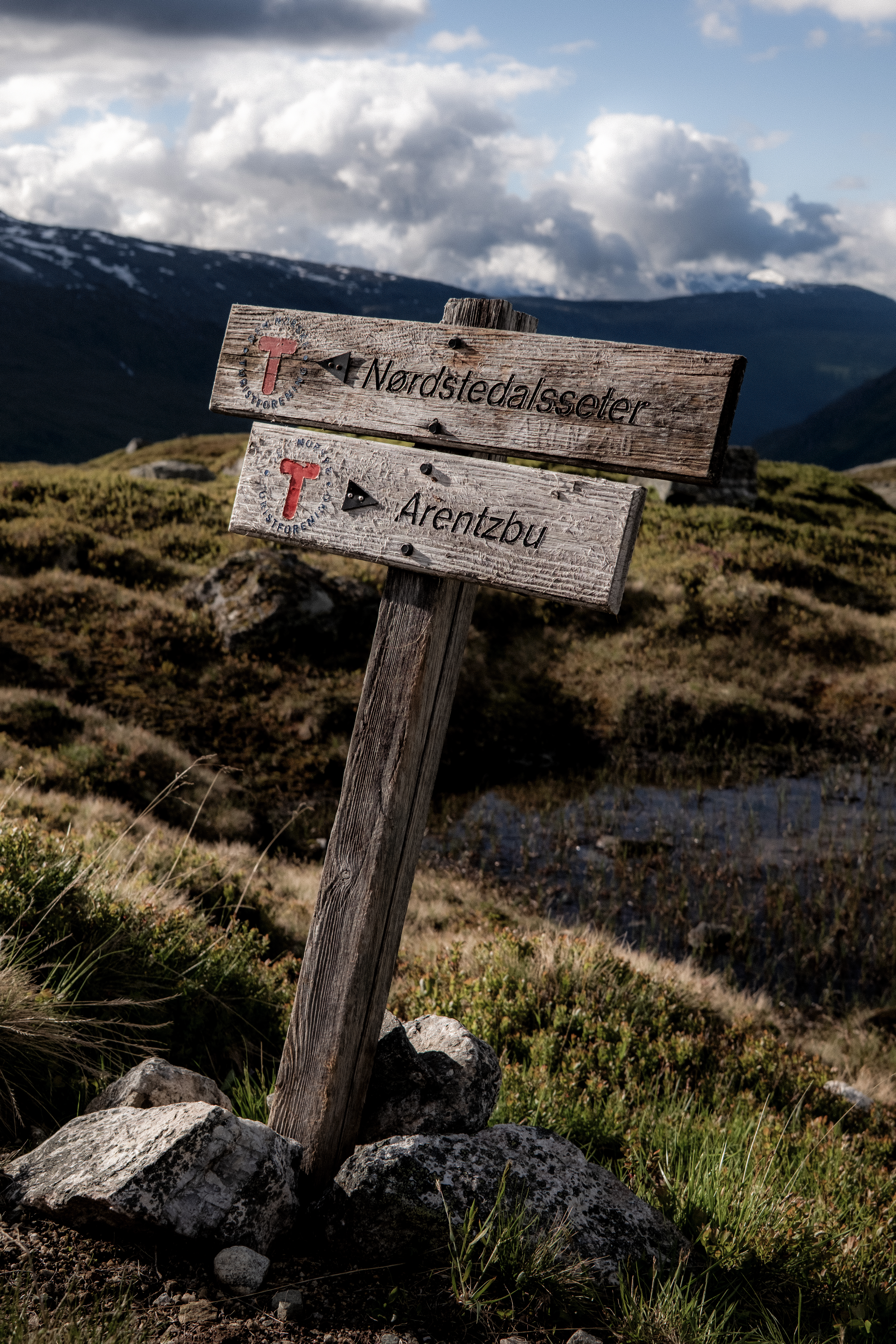
‘I can see why our Dutch friends were a little jaded when they arrived last night!’ I shouted at Abelone. ‘It’s aw challenge going up, coming down it must have been miserable!’
Heimsta Rausdalsvatnet lake was in the background, in the distance Spørteggbreen glacier was clearly visible. This is why we do what we do, these views were stunning.
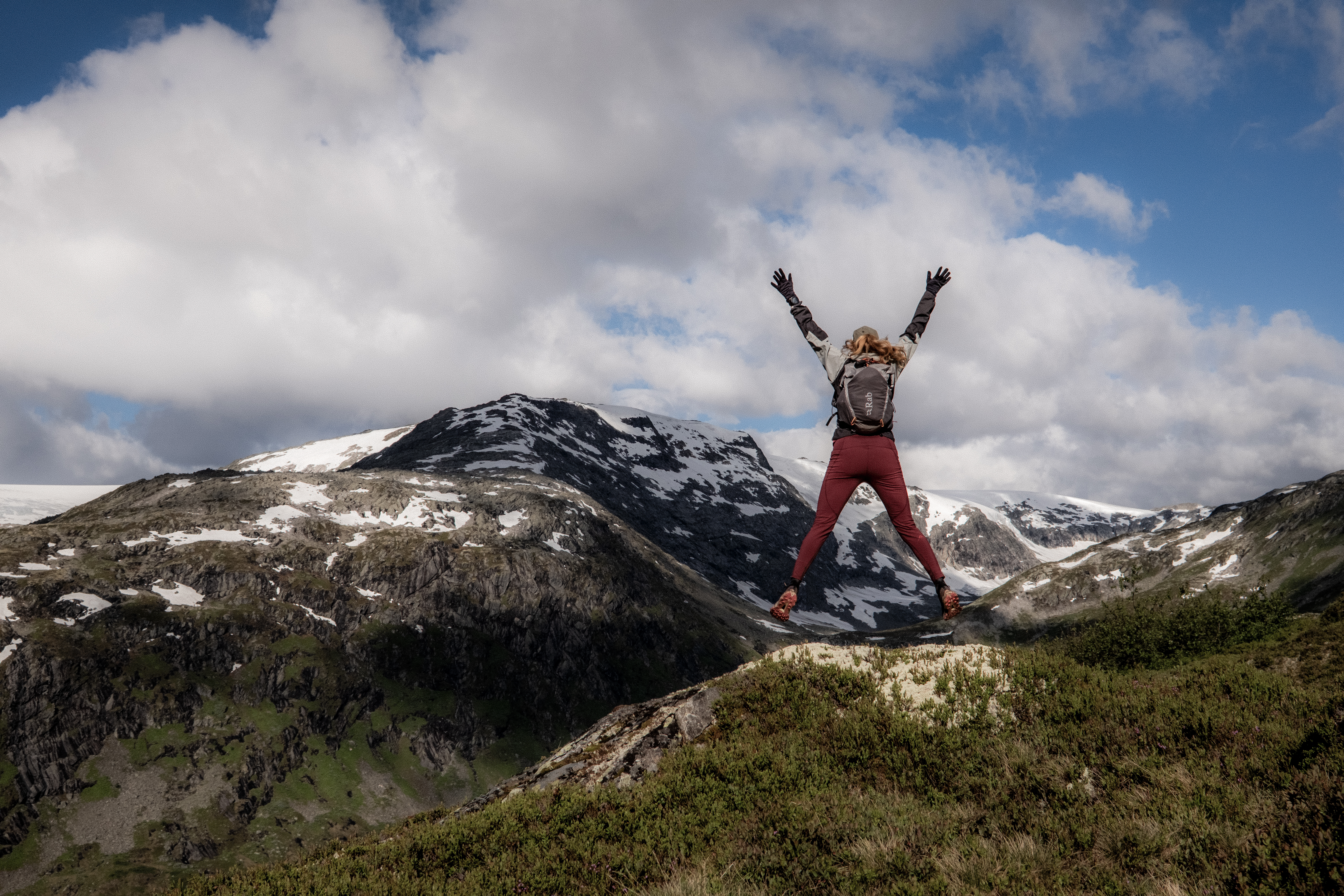
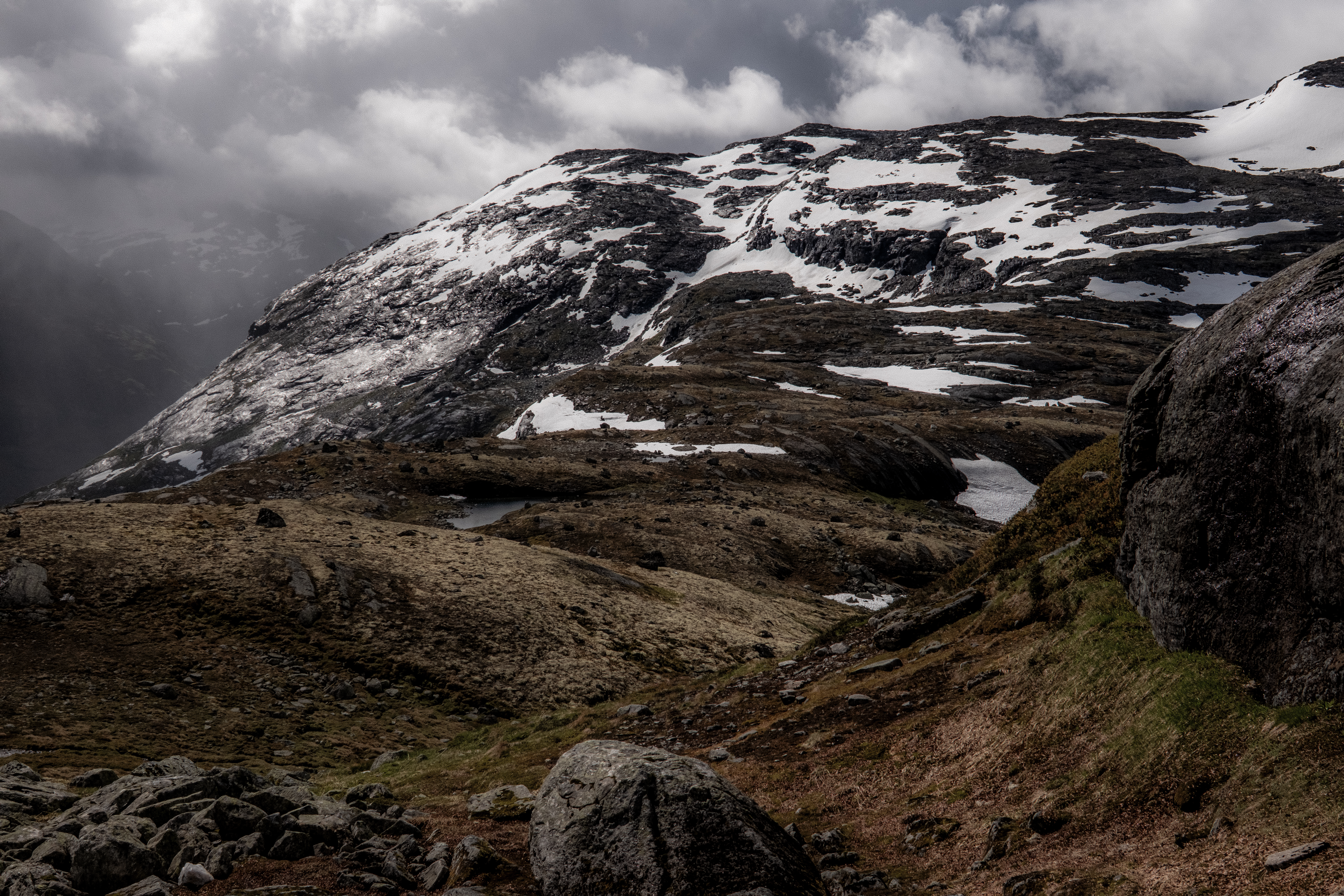
We were now on stunning trails that mixed single-track with snow crossings, boulder fields and rock hopping. It’s the terrain we love. The weather was perfect.
We passed around Leirvatnet and started the steep and rocky climb that offered some pleasant challenges and then the snow came… Yes, snow started. Just to confirm that July in Norway can give you anything and everything.
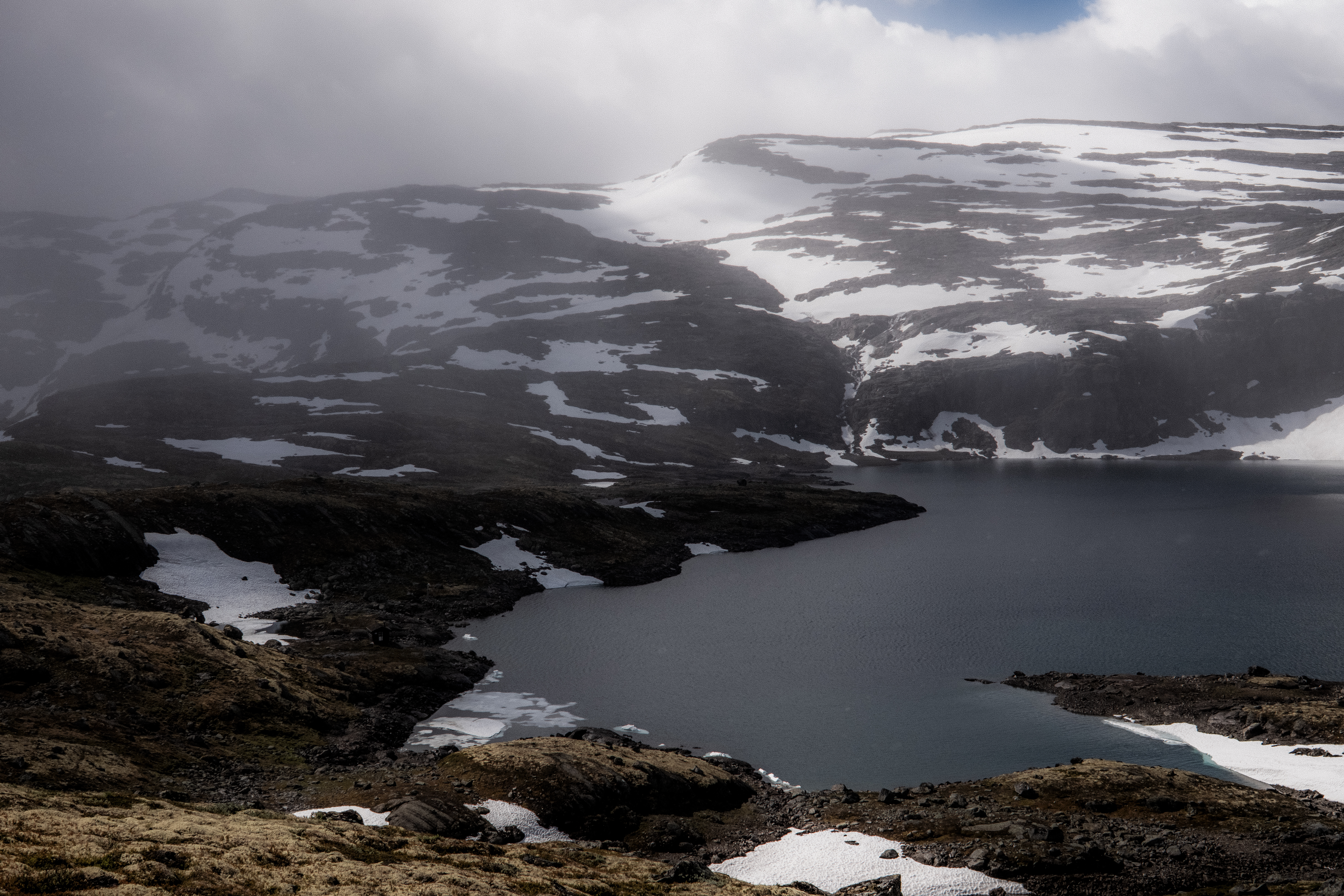
Sun, snow, challenging terrain and amazing views – this was a perfect Breheimen day.
After passing Gravdalsvatnet, Nørdstedalseter could be seen in the distance, apprx 5km’s away – the light, the views were stunning. With the final few km’s on gravel road, I was already drinking an AF beer in my mind.
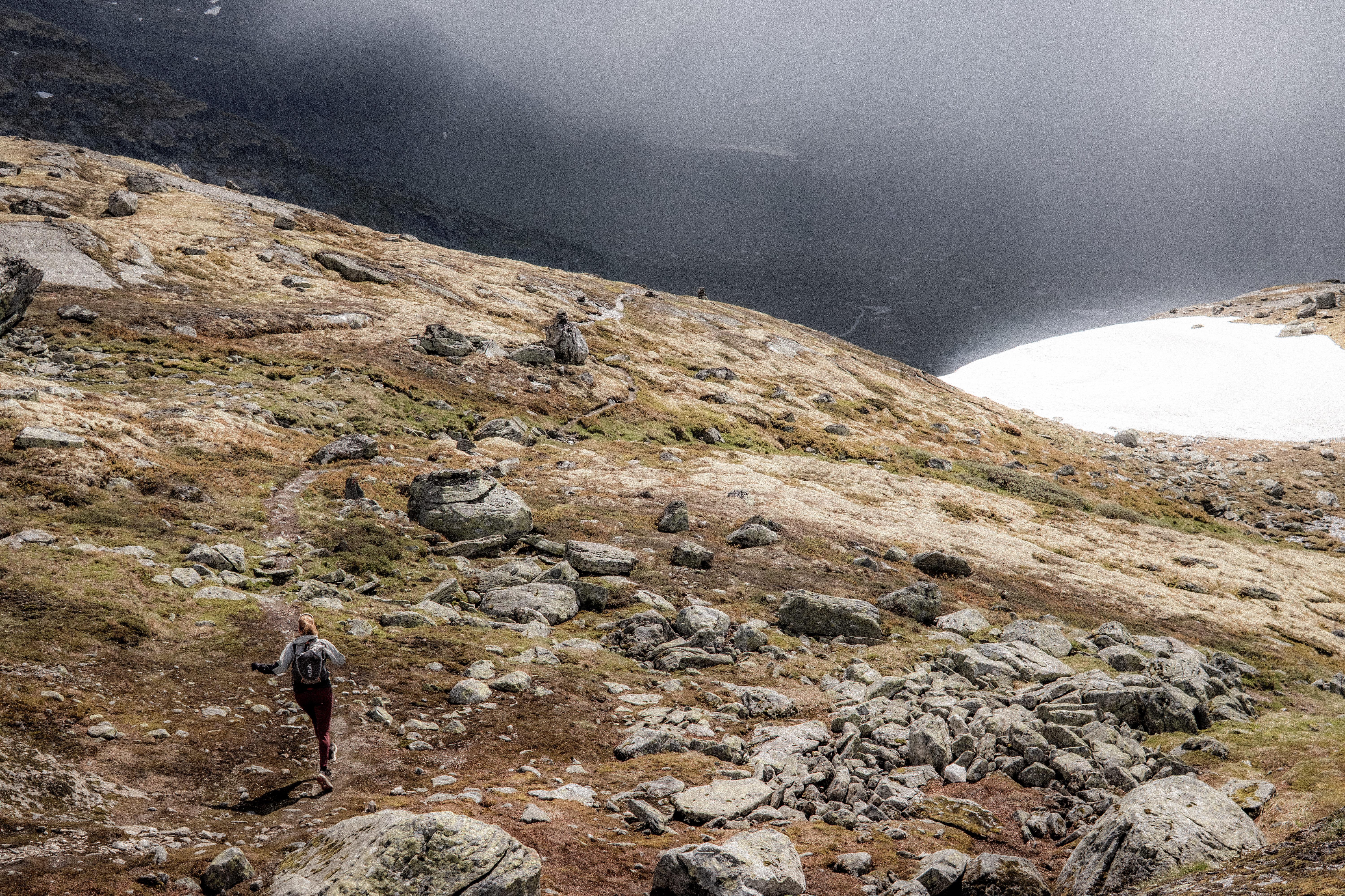
But we had the descent to Fivlemyrane first. Downhill, technical terrain, steep and two really ****ed knees basically mean grin and bear it – I did, it was miserable.
The cabin was a welcome sight.
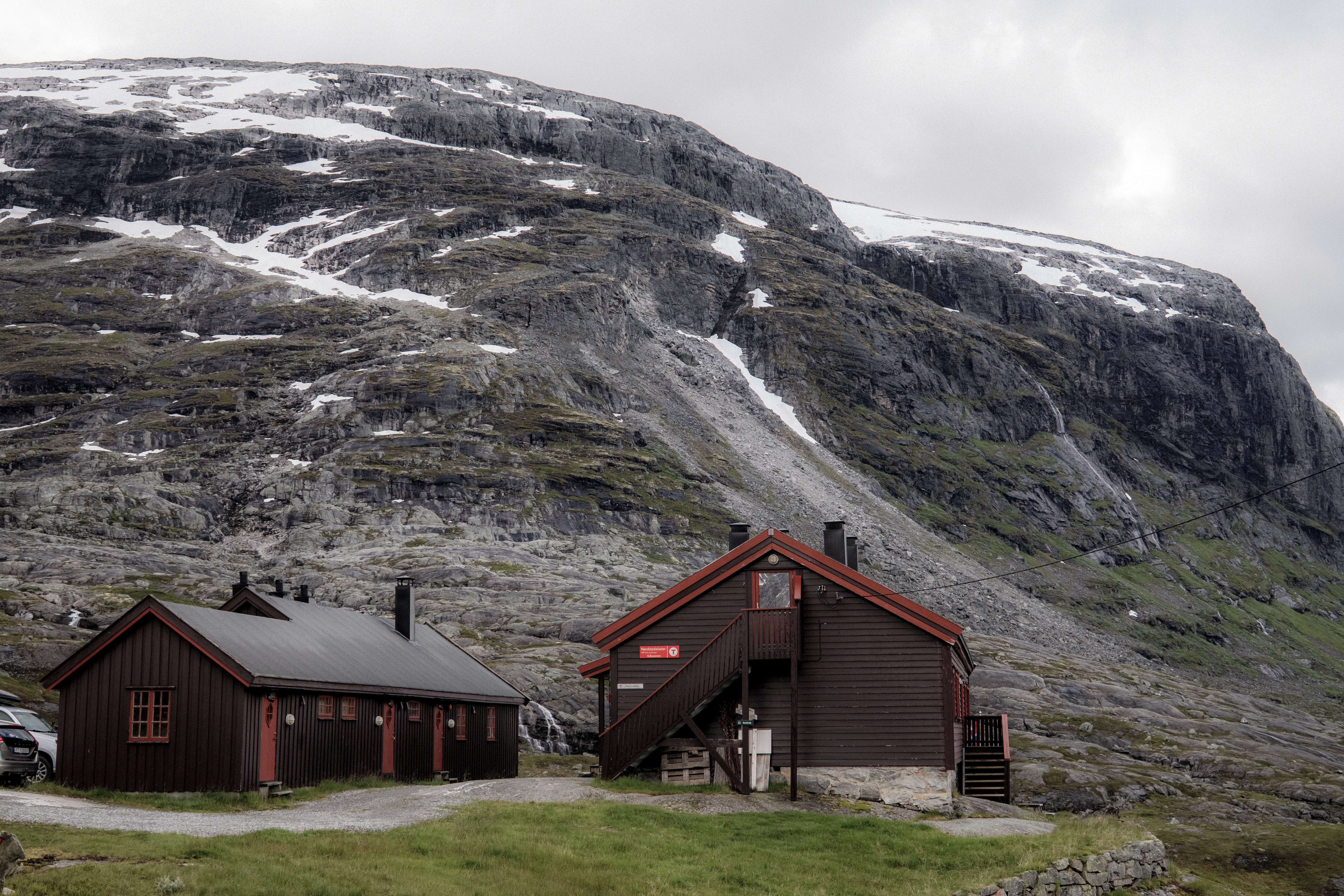
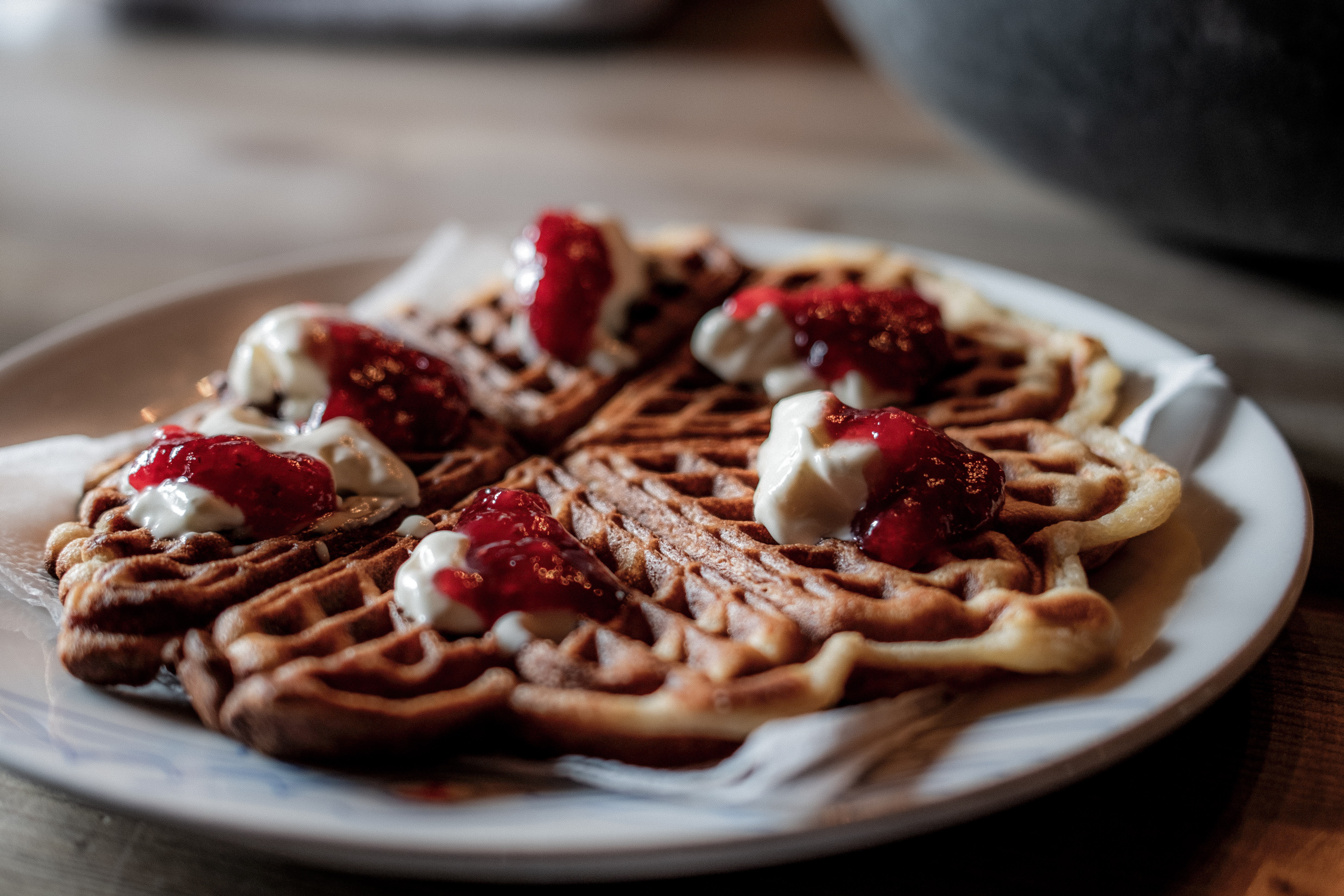
With just over 4-hours moving time, we settled into the cabin for relaxation, of course waffles, hot chocolate and some RnR.
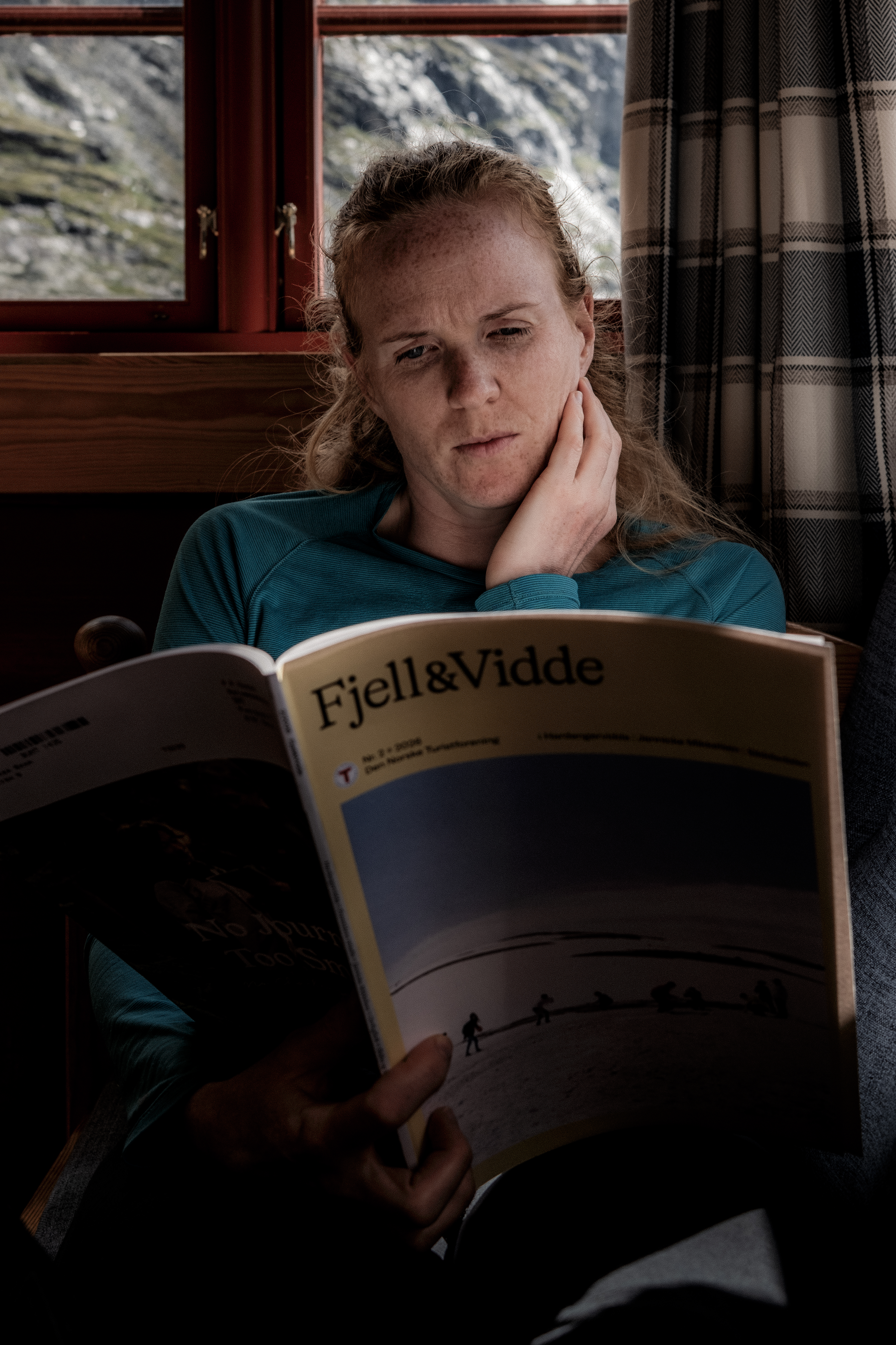
Nørdstedalseter as I have said is the first cabin on the MASSIV route and it is a rude awakening – arguably, along with the second day, it’s the hardest stage of the whole route. While Abelone and I take 6 hours +/-, many take 10, 12, 14 or even 16 hours. To accommodate that, dinner starts as 1900 but goes on till 2300.
We enjoyed our chilled afternoon and slowly, one by one, people arrived, the look of trauma clear on their faces – this is ONLY day 1, ‘How will I complete the MASSIV?’ the obvious question in their minds.
Day 4 – 25.69km 1269m+ 5h 38m
Nørdstedalseter to Sota Sæter and Sota Sæter to Nørdstedalseter is feared. I had done it both ways in 2025 joining Abelone on her MASSIV day 1 and then returning the following day to pick up the car and meet Abelone at her stage 2 finish.
For Abelone, she had not experienced the trail in this direction.
Due to some construction work, our opening easy gravel road start was detoured through no trails on the mountains adding an extra challenge.
Back on the normal trail we were moving quick and after what we had experienced on day 2 and day 3, we quite confidently said, ‘These are easy trails huh?’ They were, it was mostly single-track that weaved a path around Fivlemyrvatnet lake.
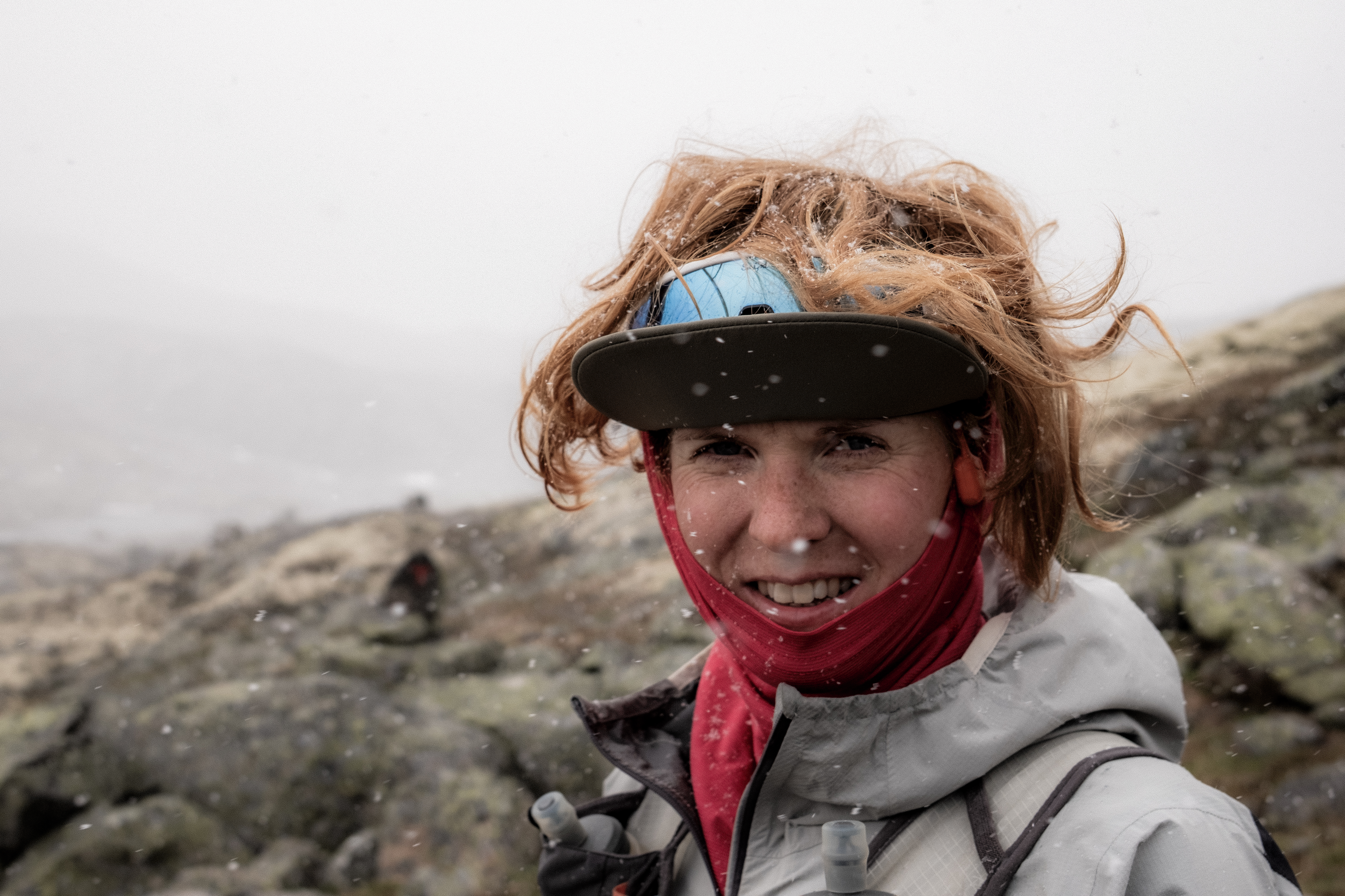
The sun was shining and then you guessed, it started snowing. I love Norway!
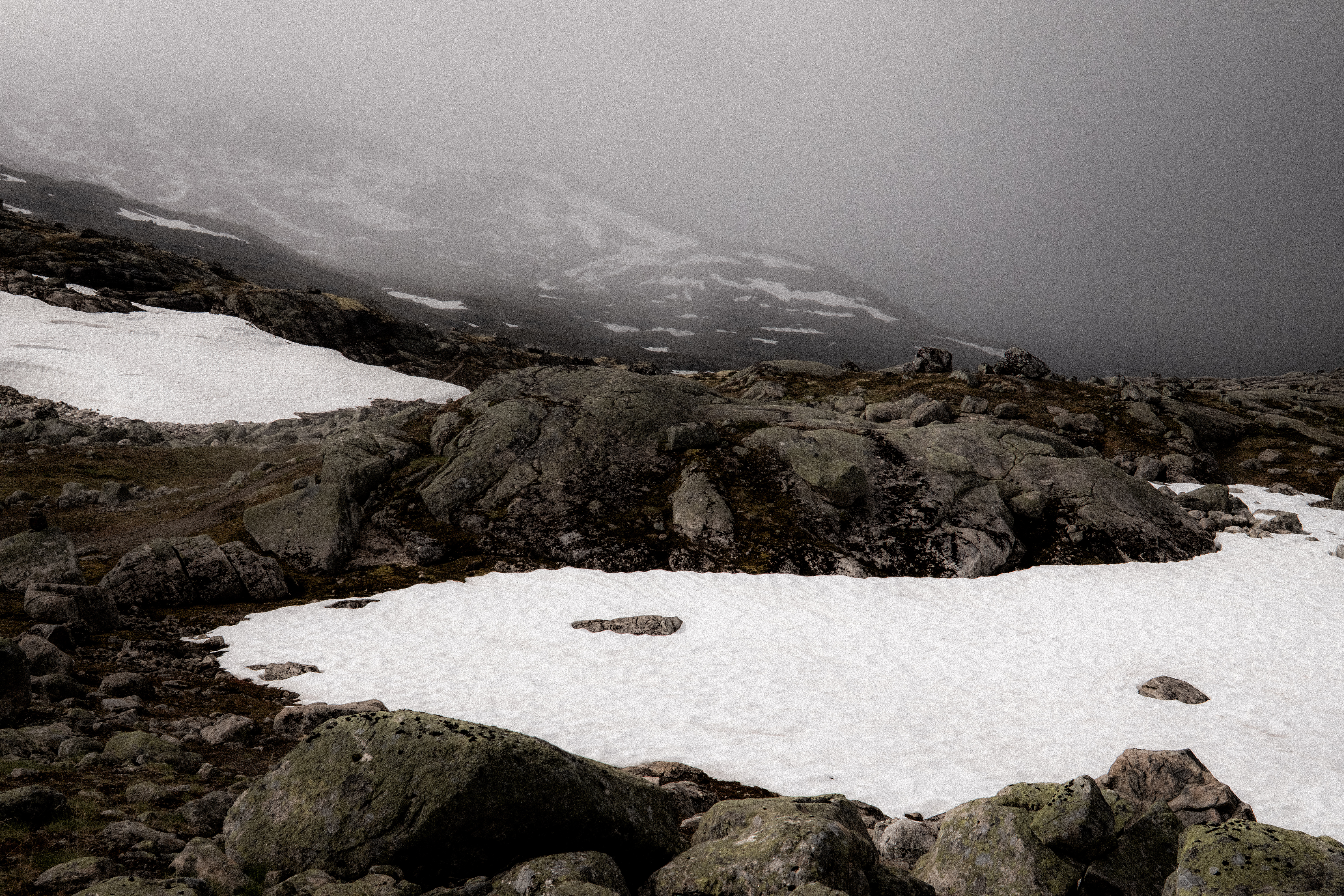
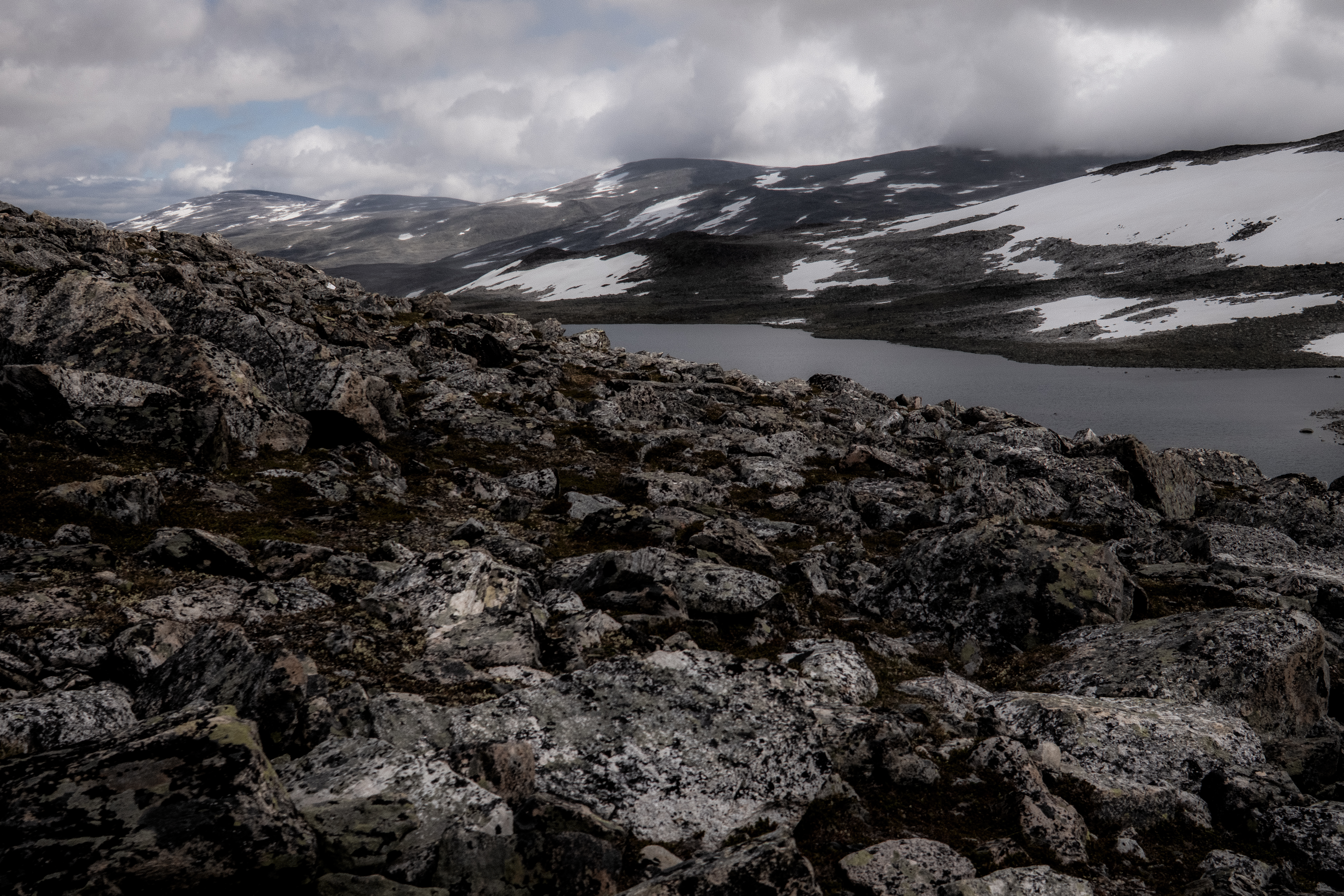
This route is beautiful, the views are spectacular, and the terrain is constantly challenging.
In contrast to 2025, there was considerably less snow, however, the boulders were just the same as last time… when you start the boulder fields, they go on, and on and on.
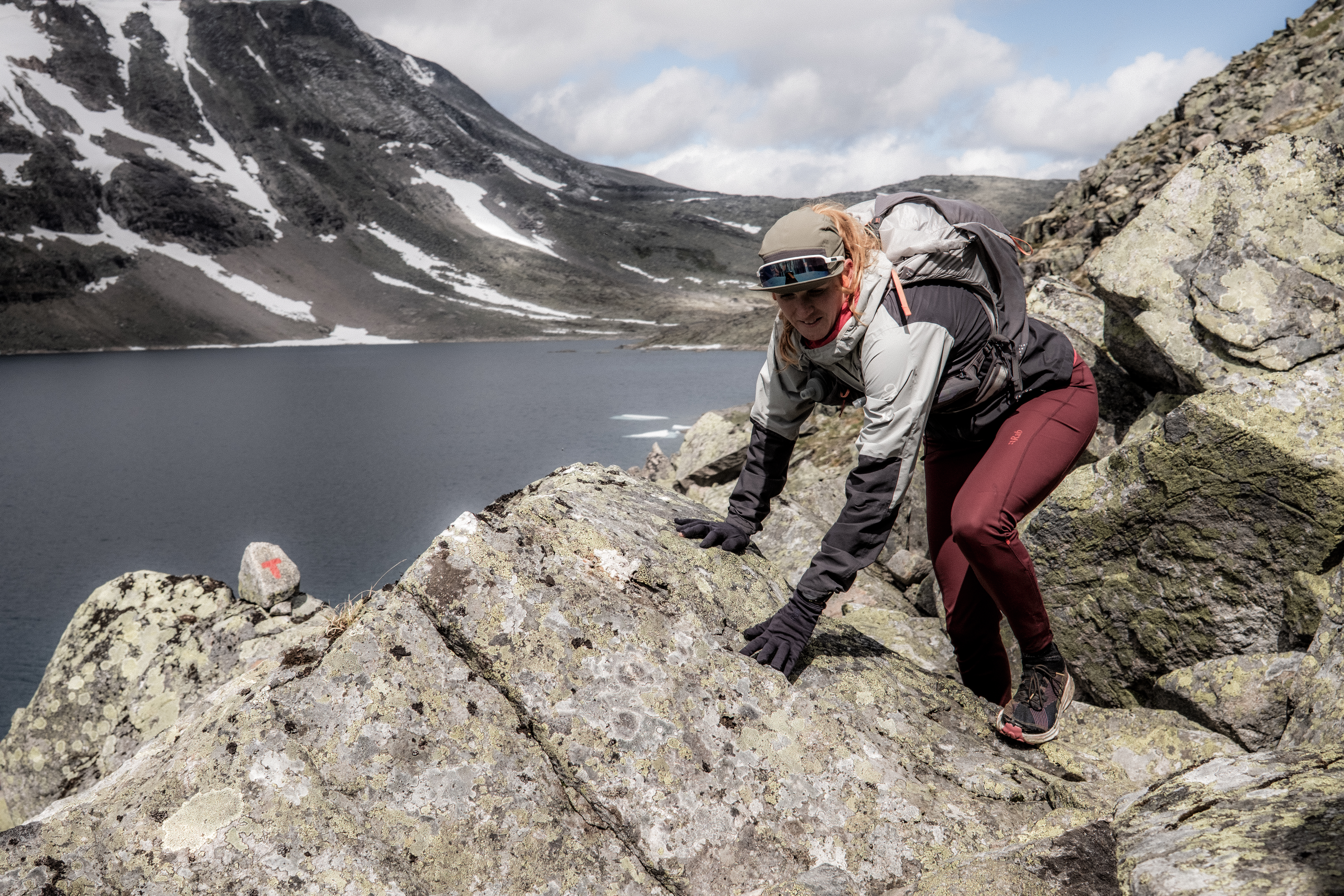
Around Illvatnet the terrain is particularly challenging and there is only one thing to do, move slow, precise and be careful.
Importantly, if you do decide to do this trail, you can arrive at Sota Sæter in two ways – one way is over the glacier! Do not go the glacier route without a guide or without the equipment/ experience to ensure safe passage.
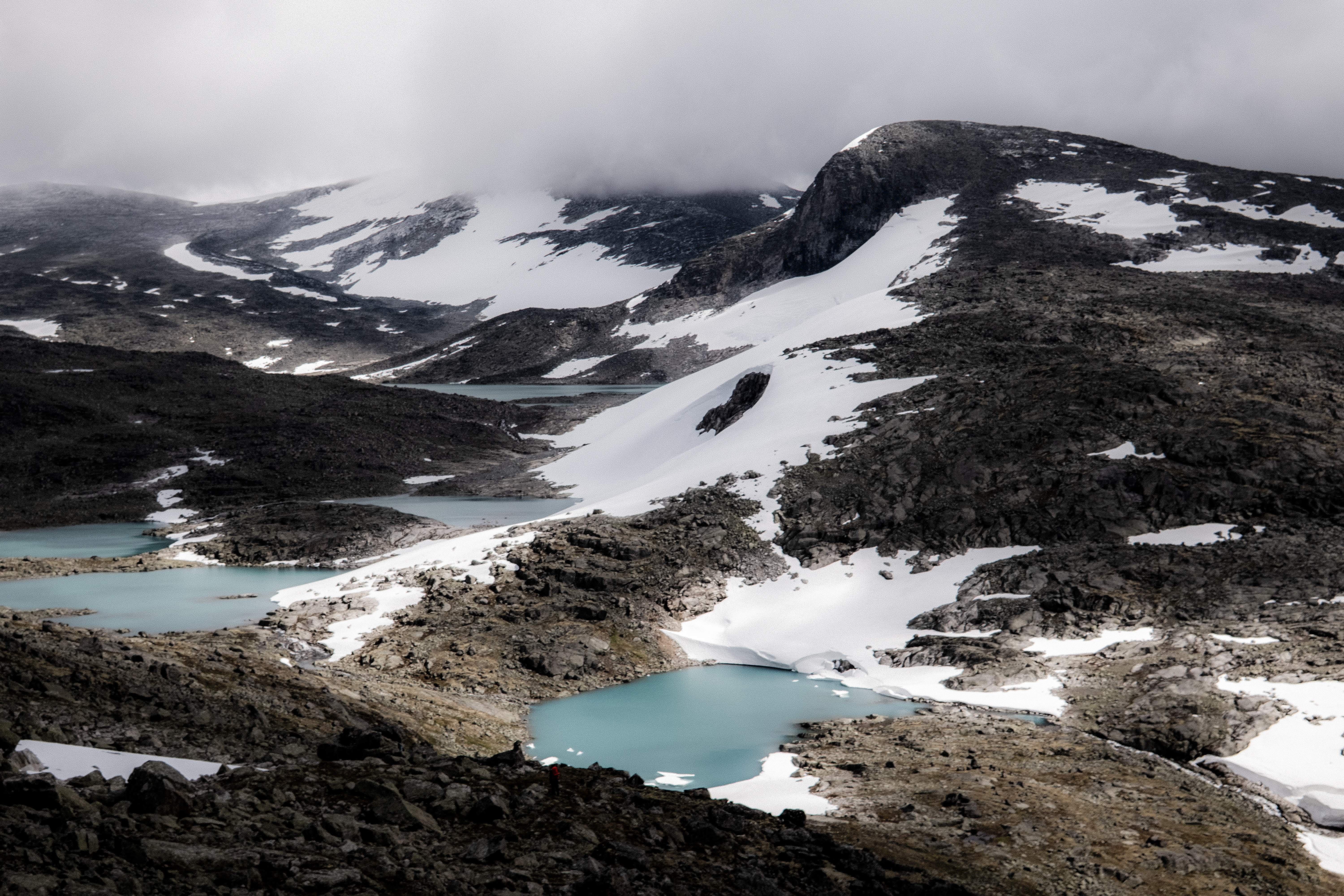
Up and down, boulder after boulder, you finally climb up to the plateau with stunning views over the route you have just experienced – magical. Tundradalskyrja peak at 1969m towers over you and from here on in, it’s an easy run into the finish….
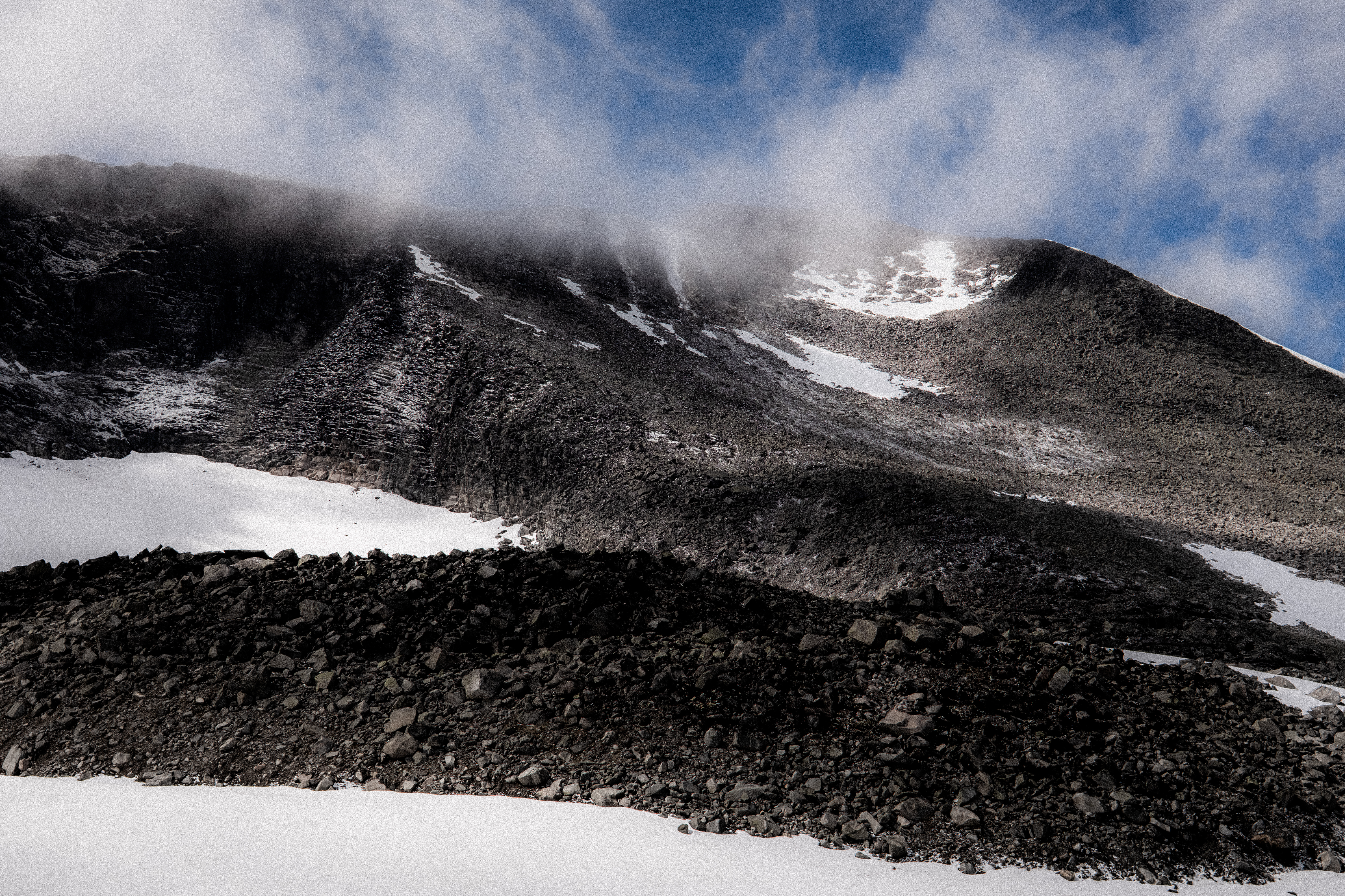
Think again – the boulders continue and so does the snow and just as you climb the final last little climb, knowing Sota Sæter is nested in the valley below, the boulders continue. There is a reason why this day is considered one of the toughest on the MASSIV.
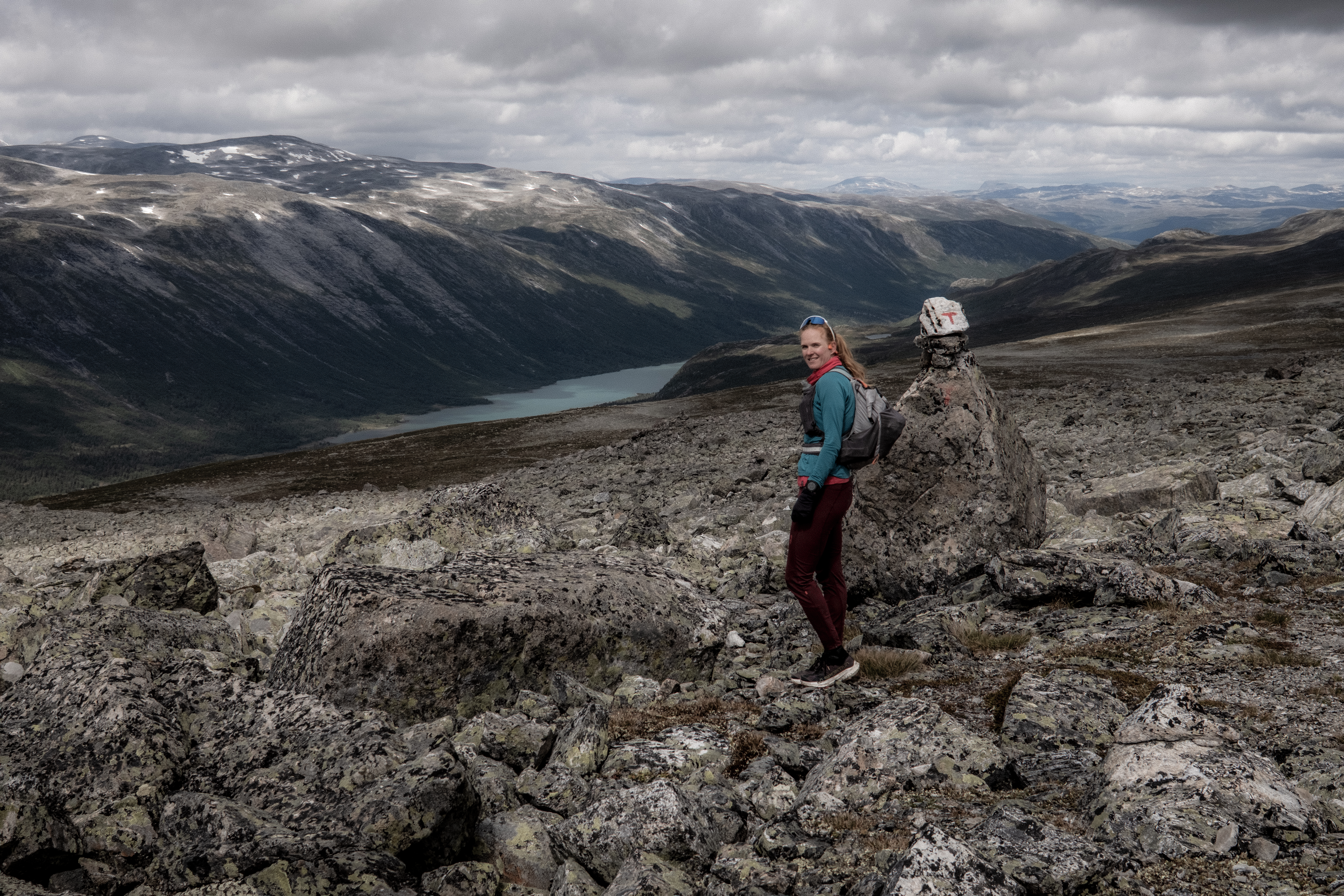
I gritted my teeth, hated every single step of the final descent as each knee screamed with each footstep and finally, when on the road at the bottom, I kissed the floor.
‘Now, where are the waffles?’
Breheimen is wild, adventurous, a challenge, impressive, beautiful and magical. You need to respect it, and you need to be prepared, but this is one loop I cannot wait to do again.
__________
Instagram – @iancorlessphotography
Twitter – @talkultra
facebook.com/iancorlessphotography
Web – www.iancorless.com

