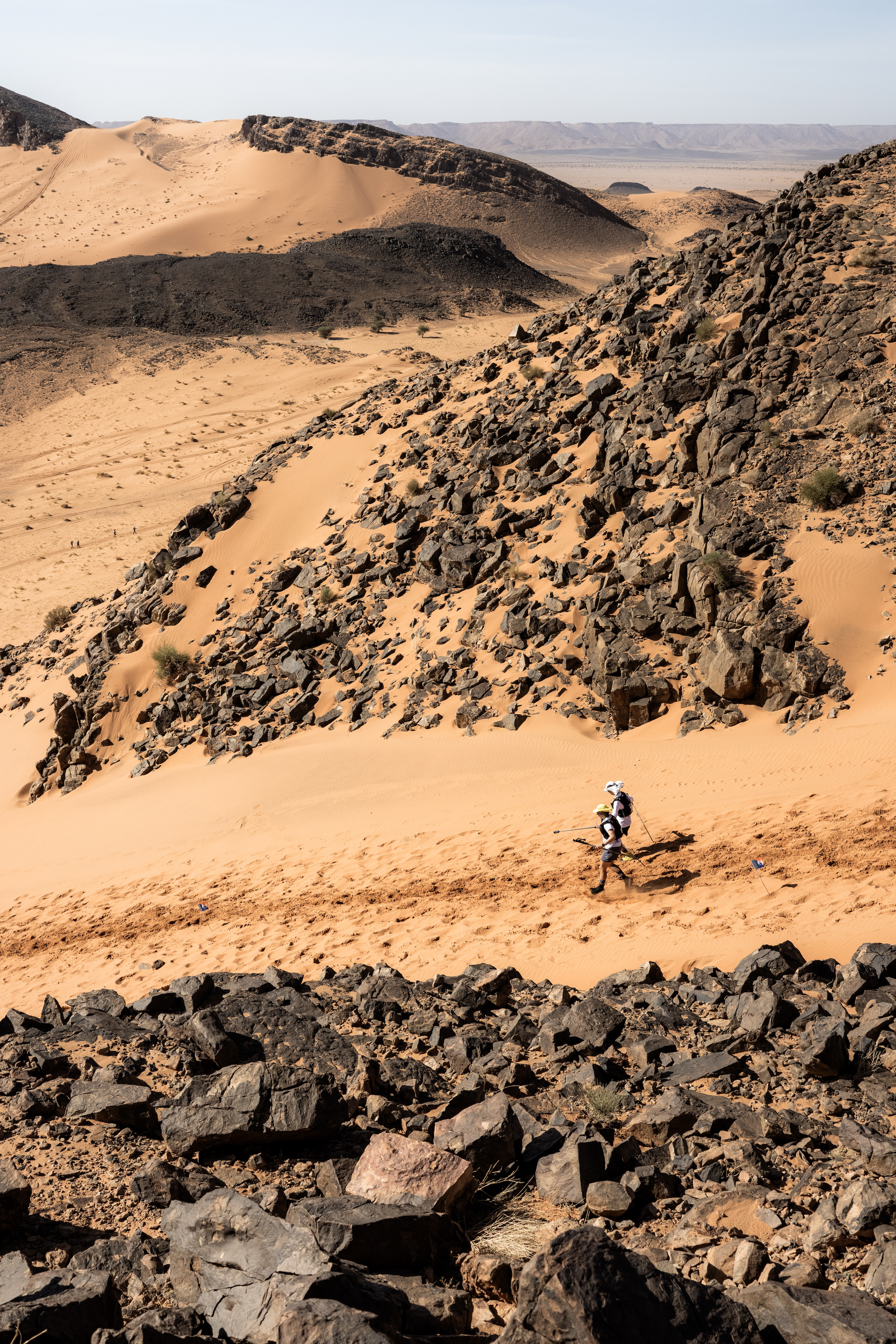
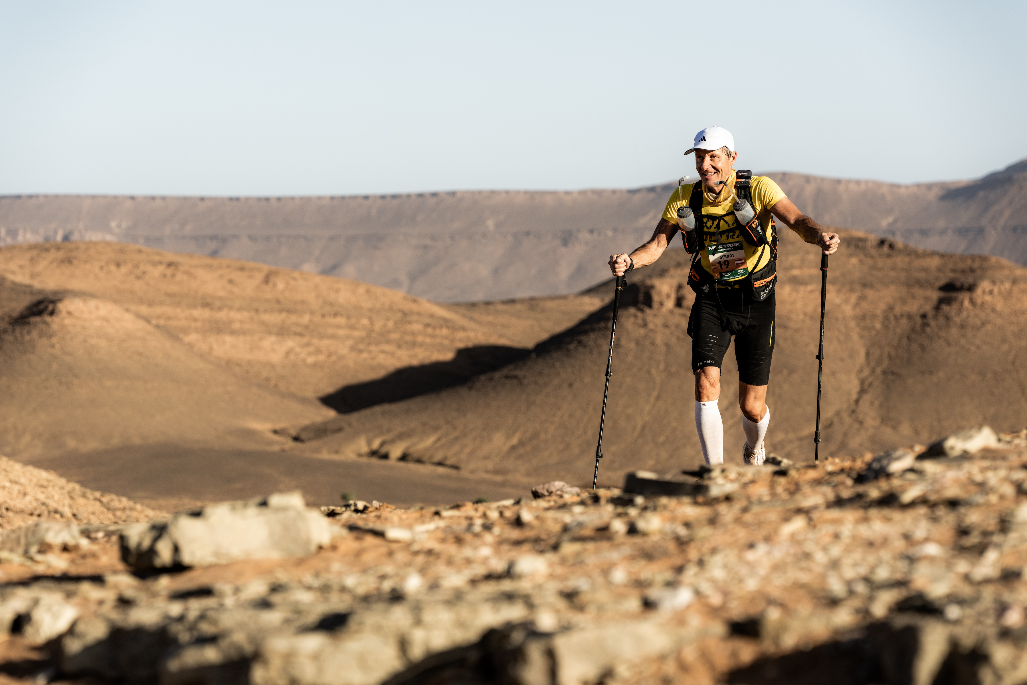
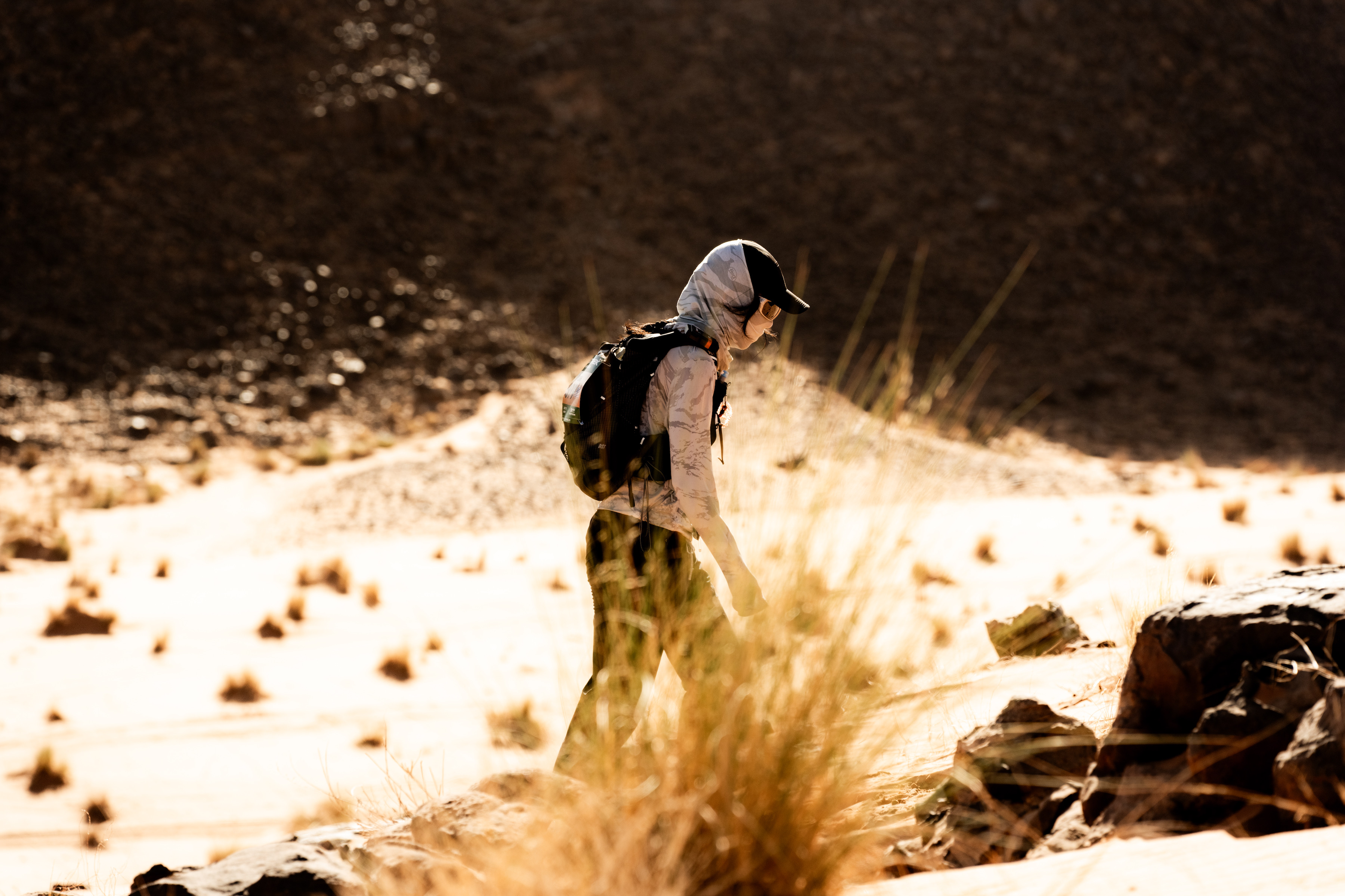
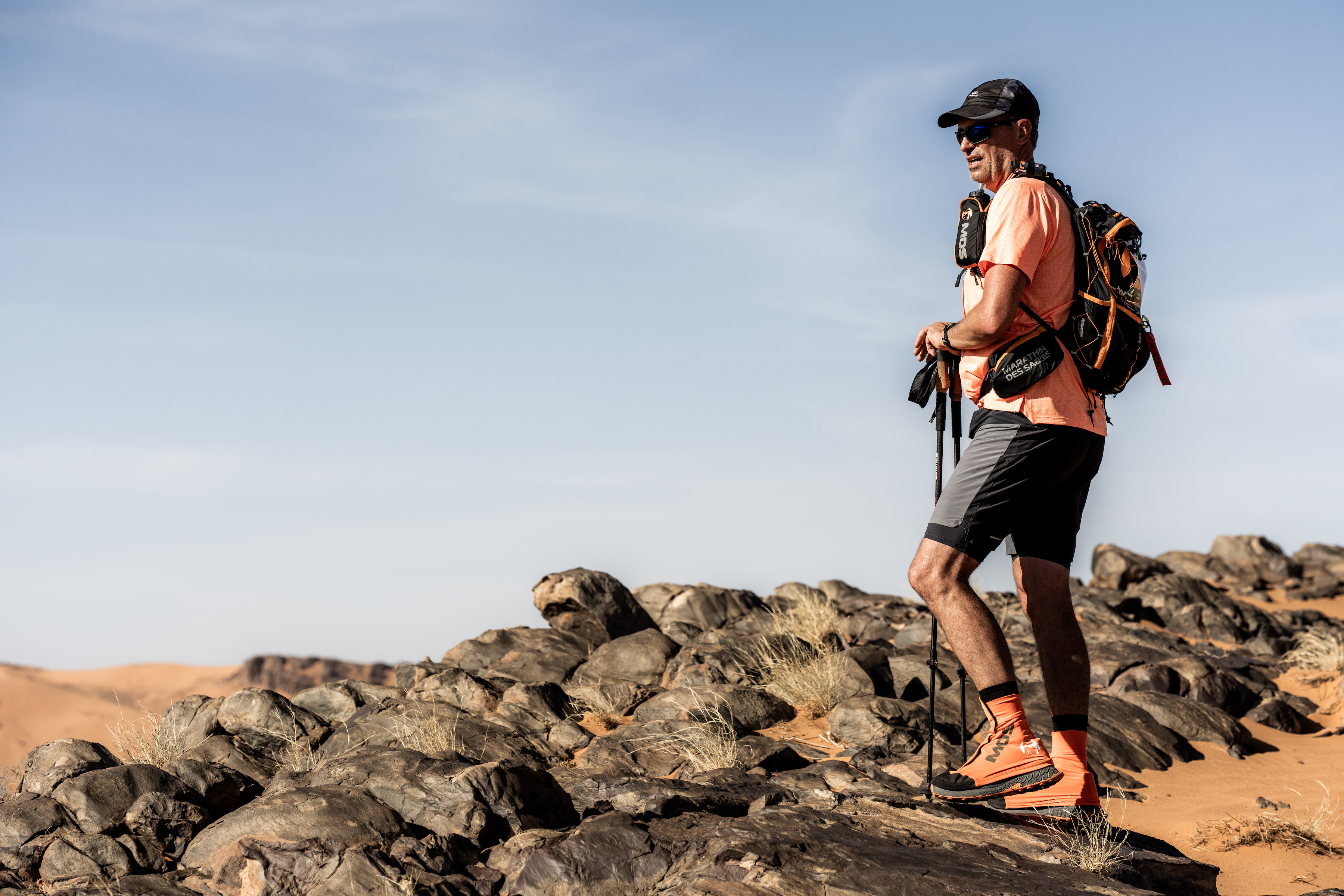
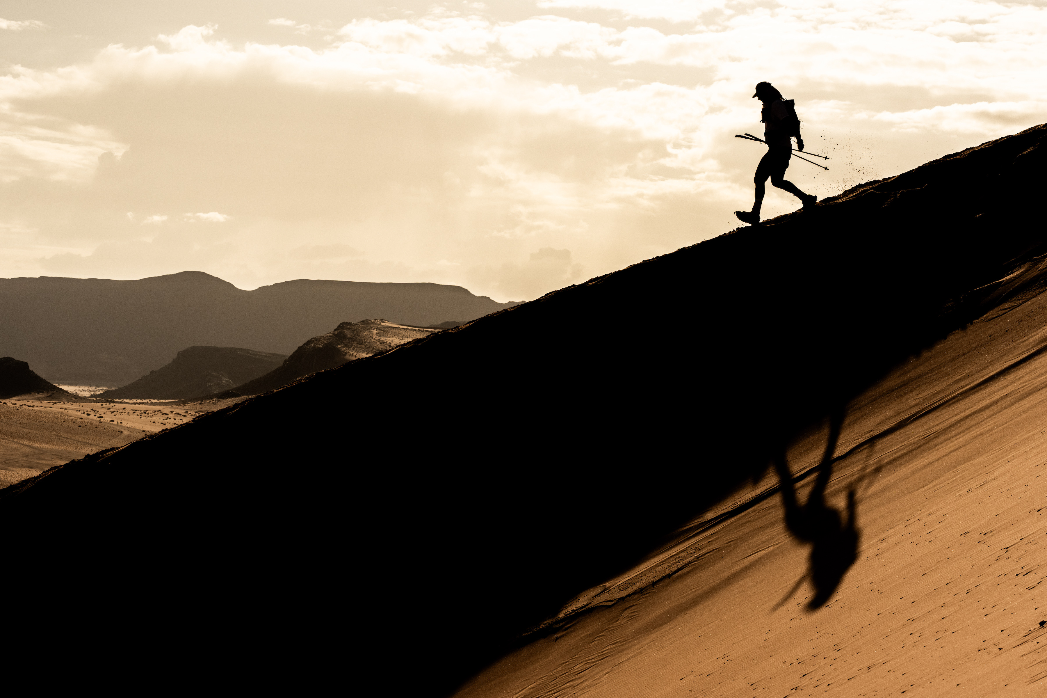
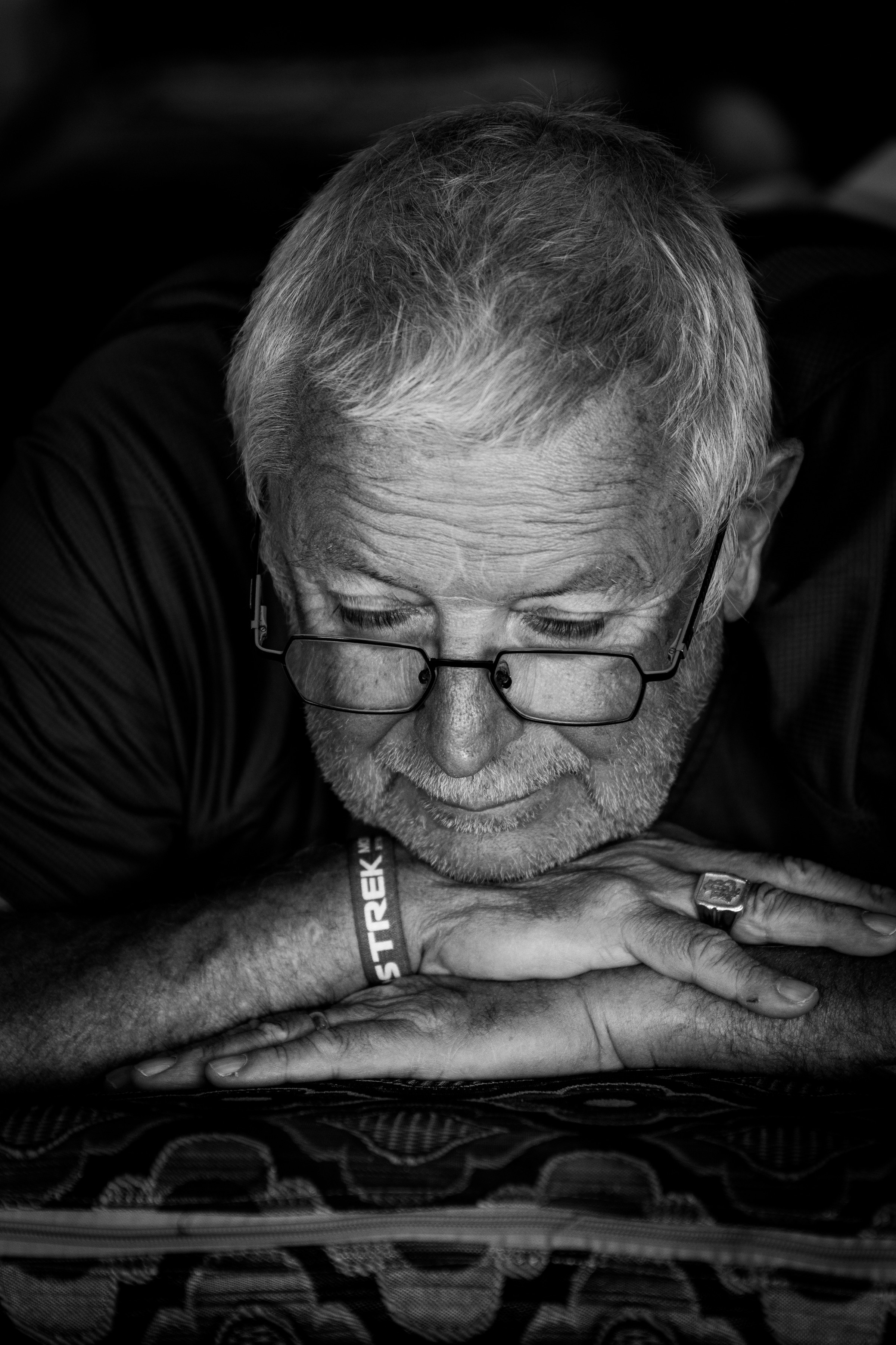
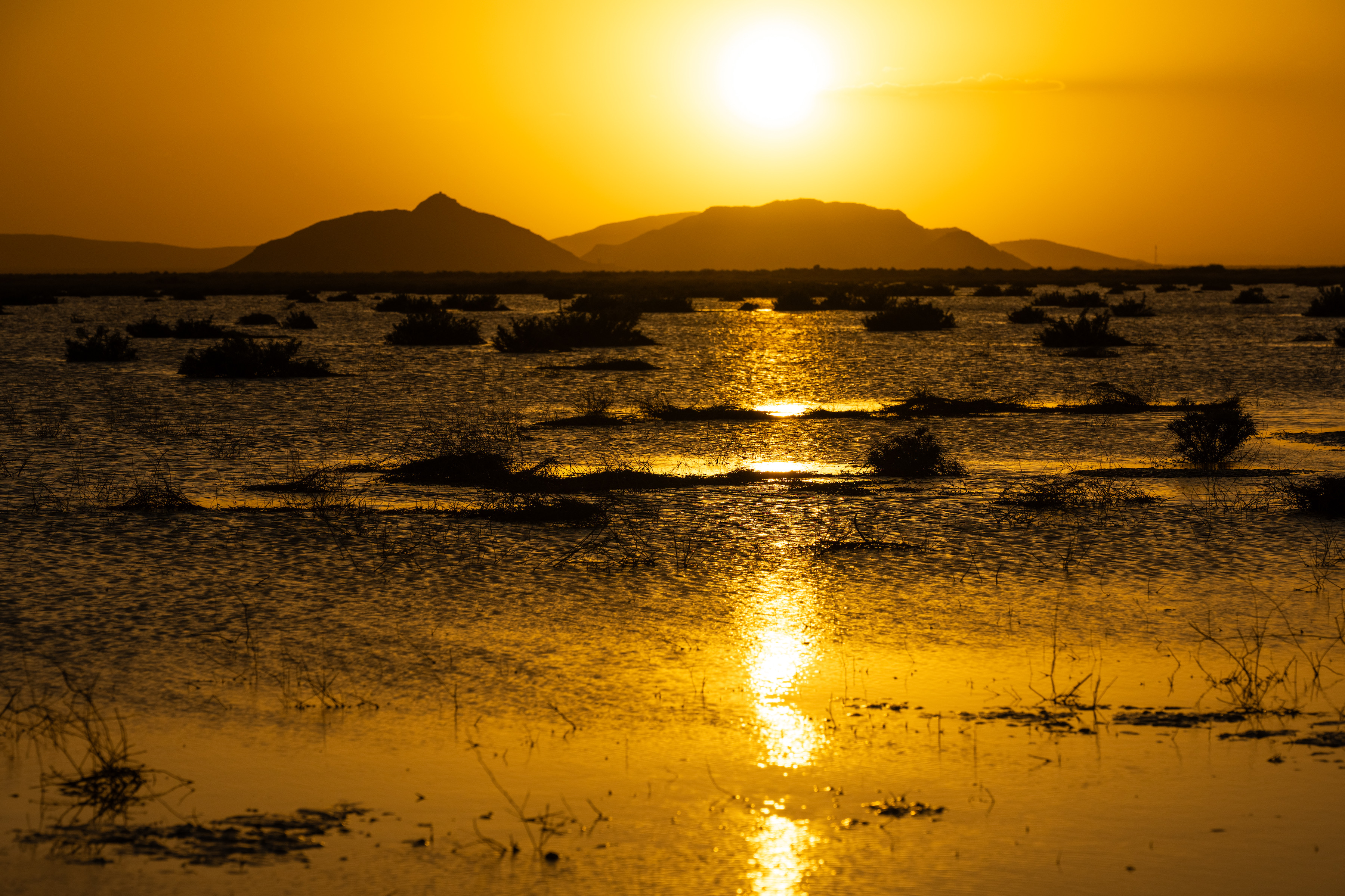
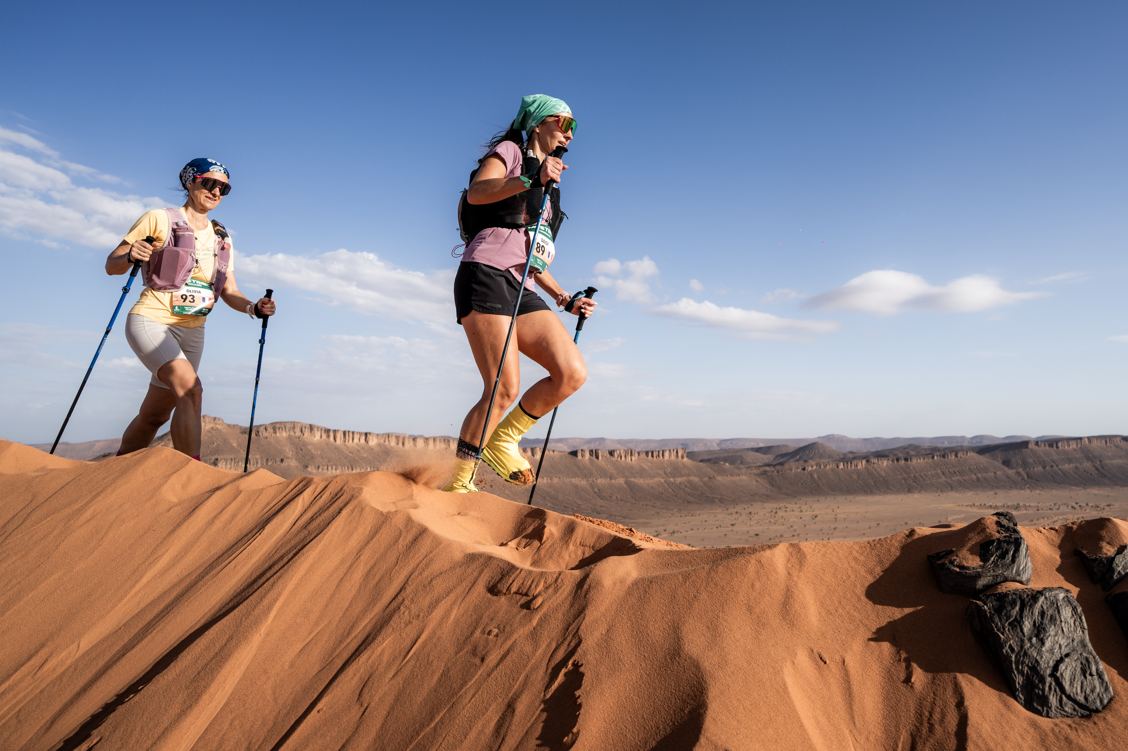
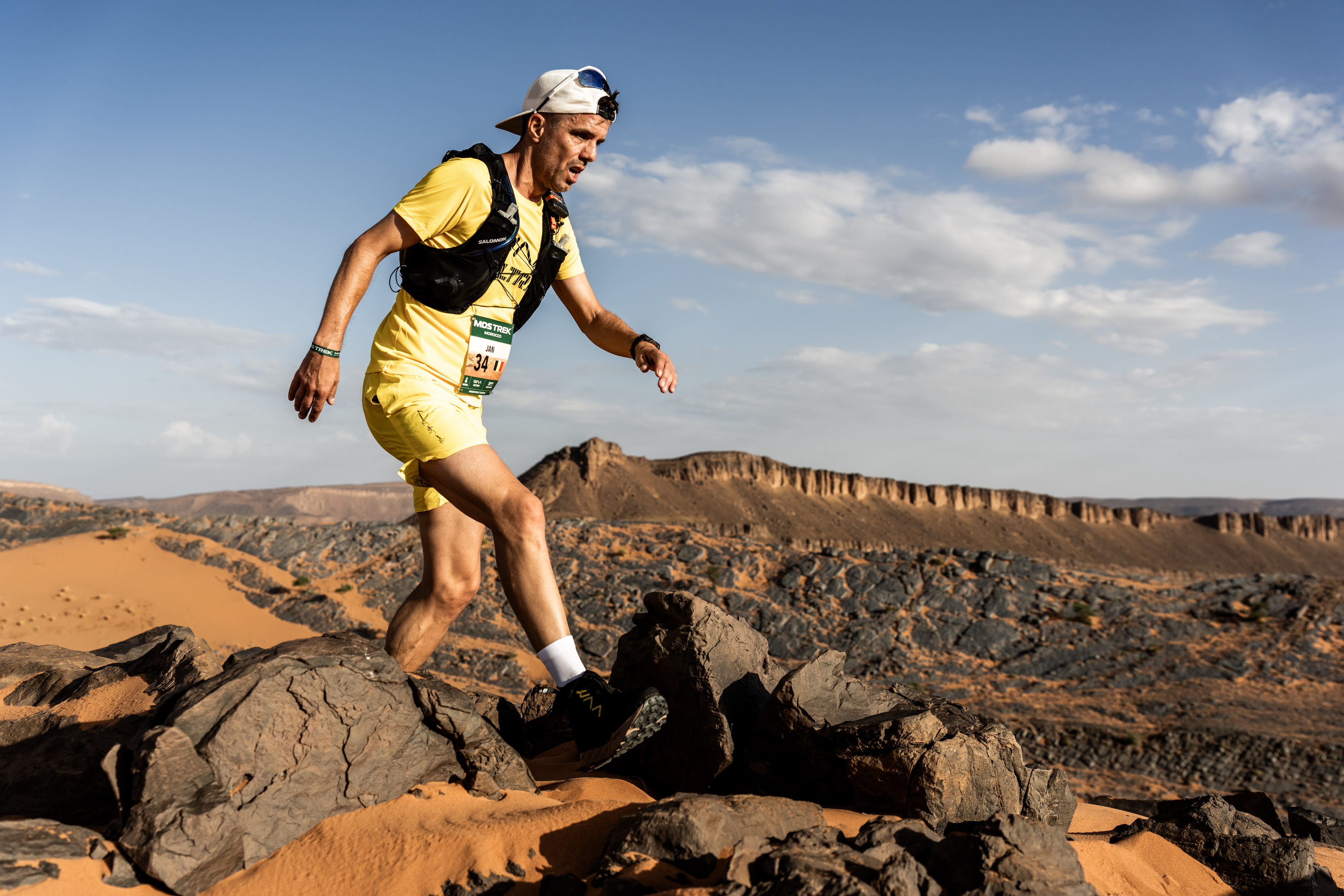
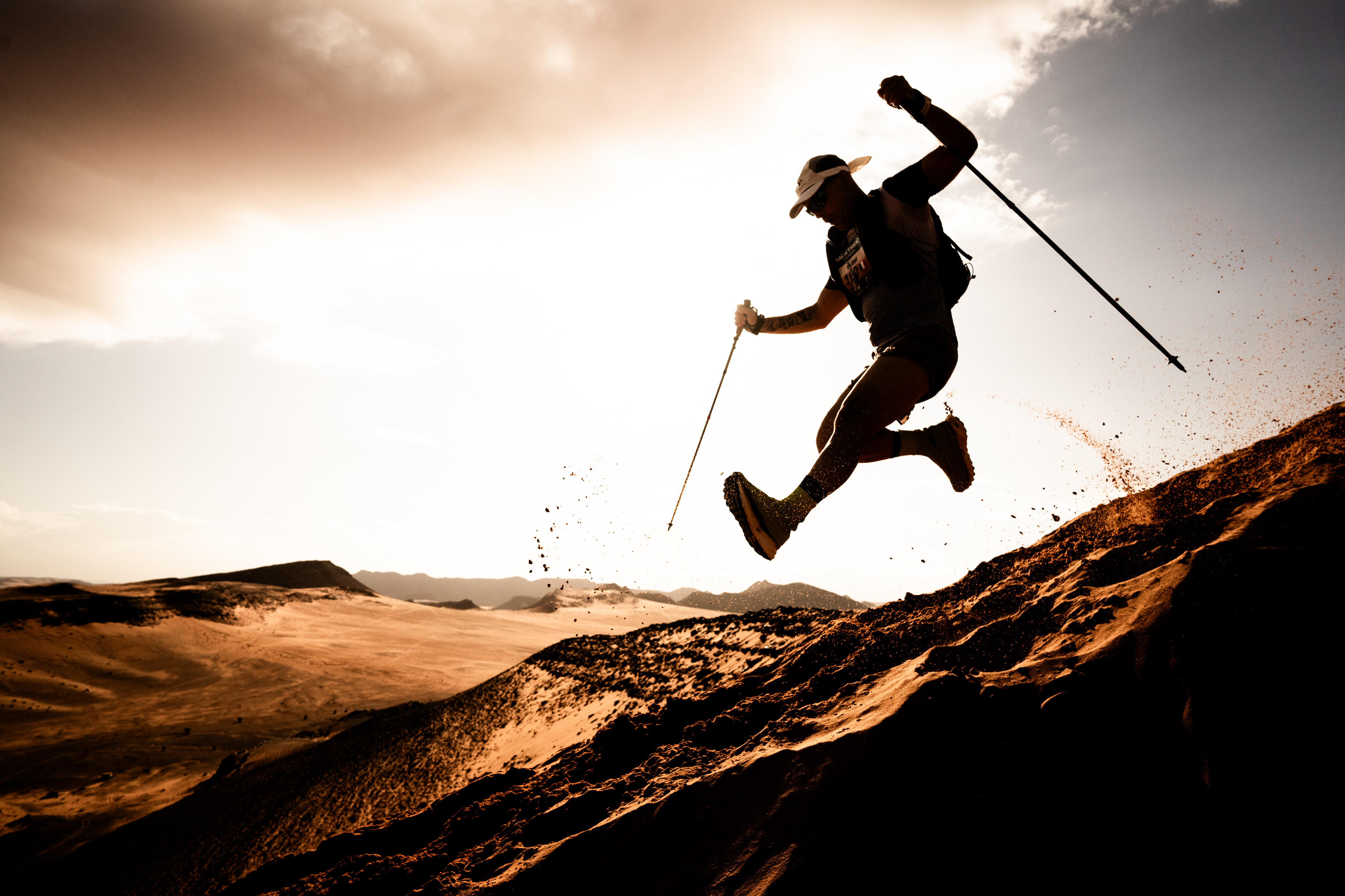
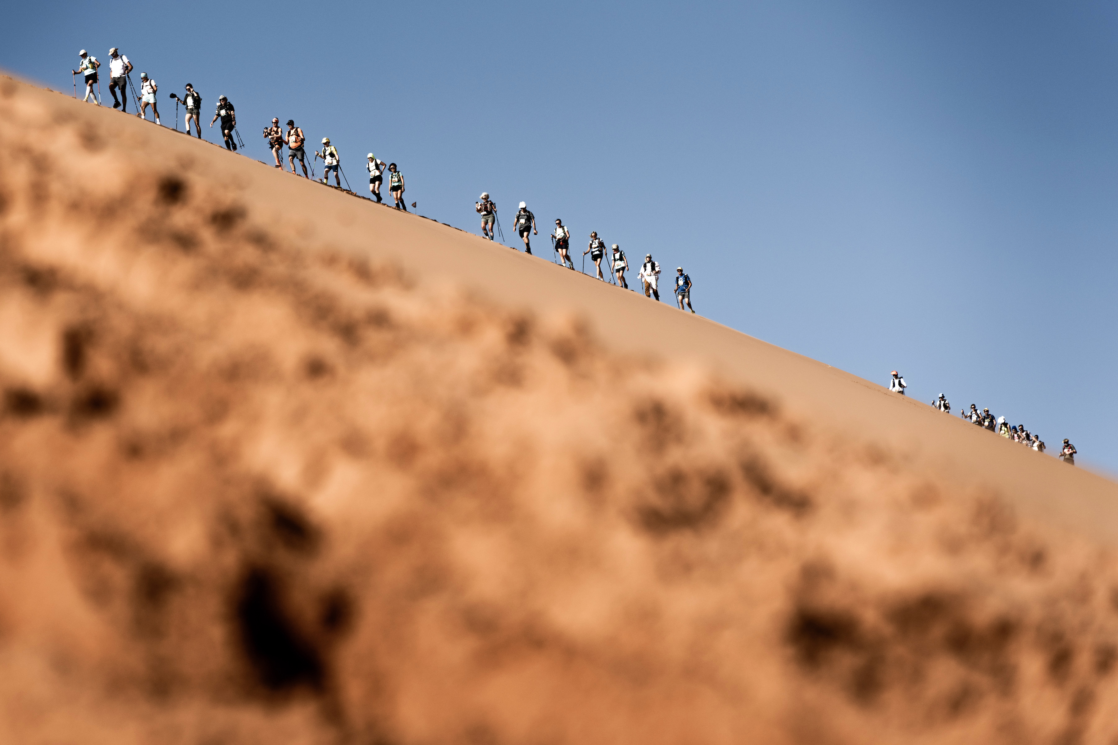
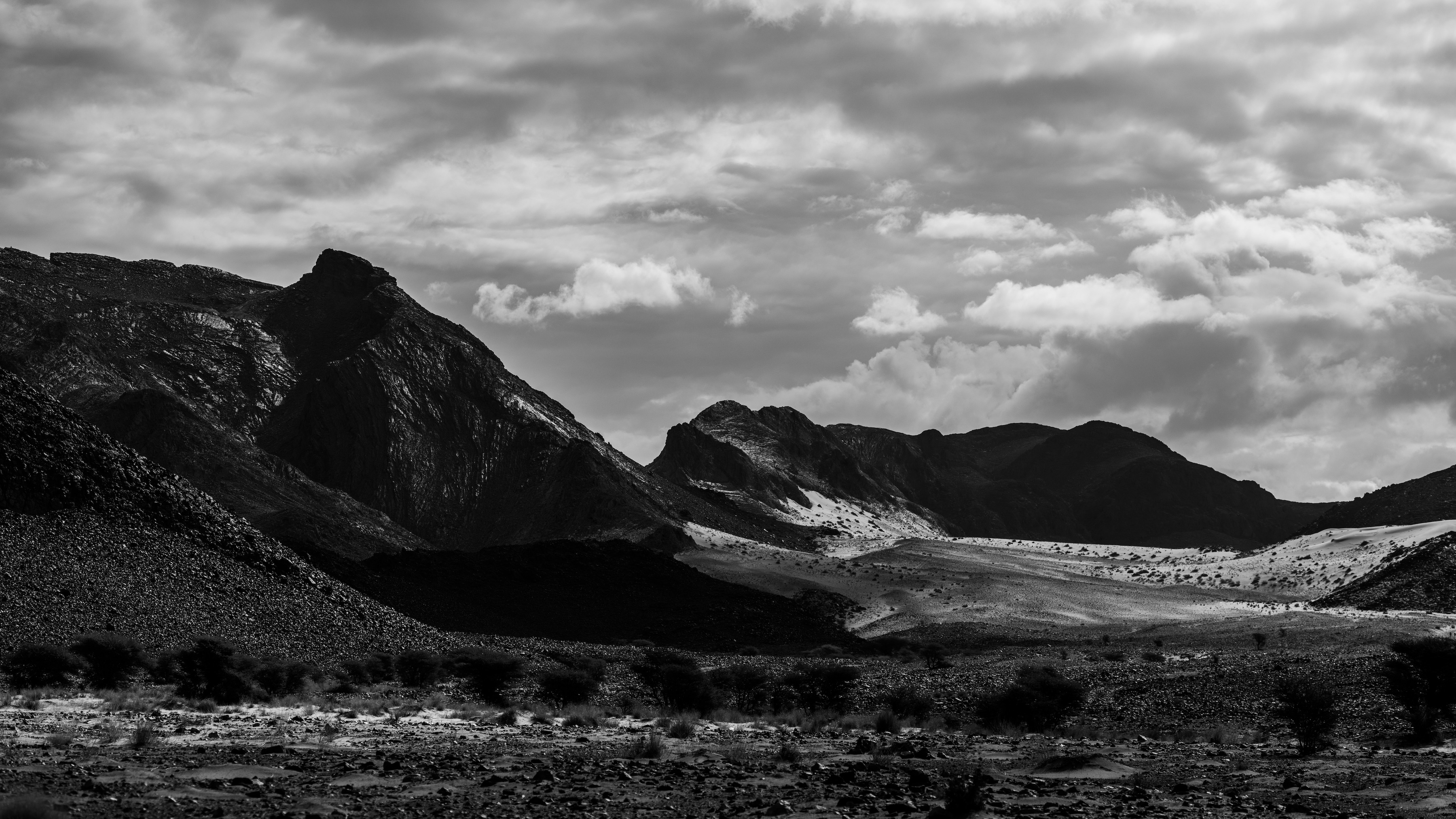
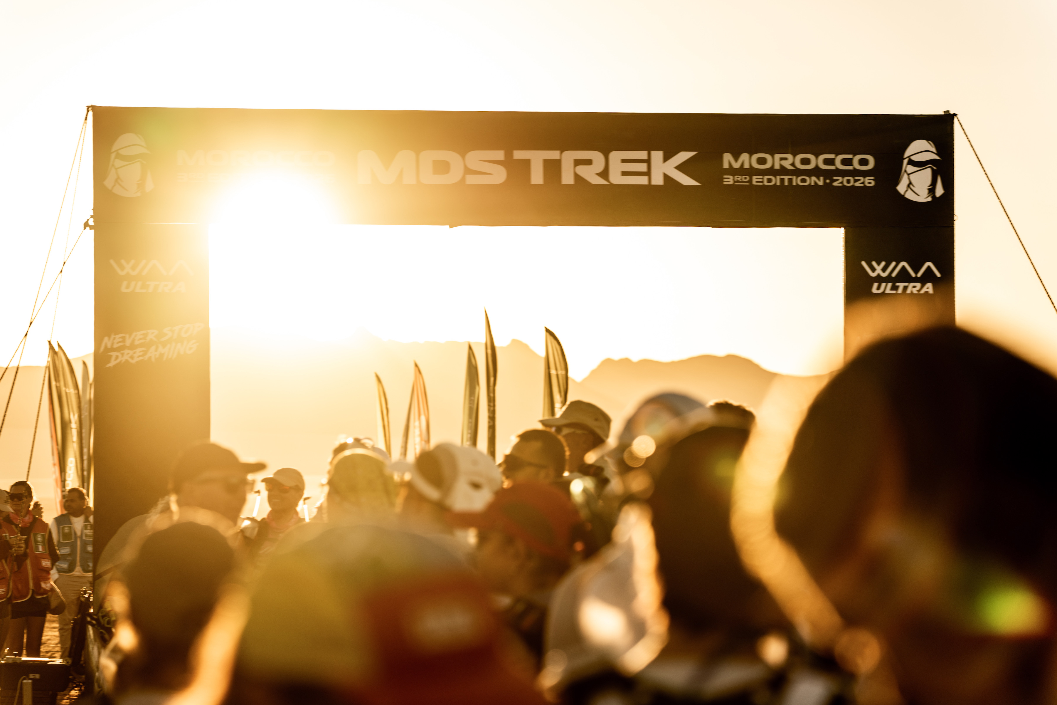
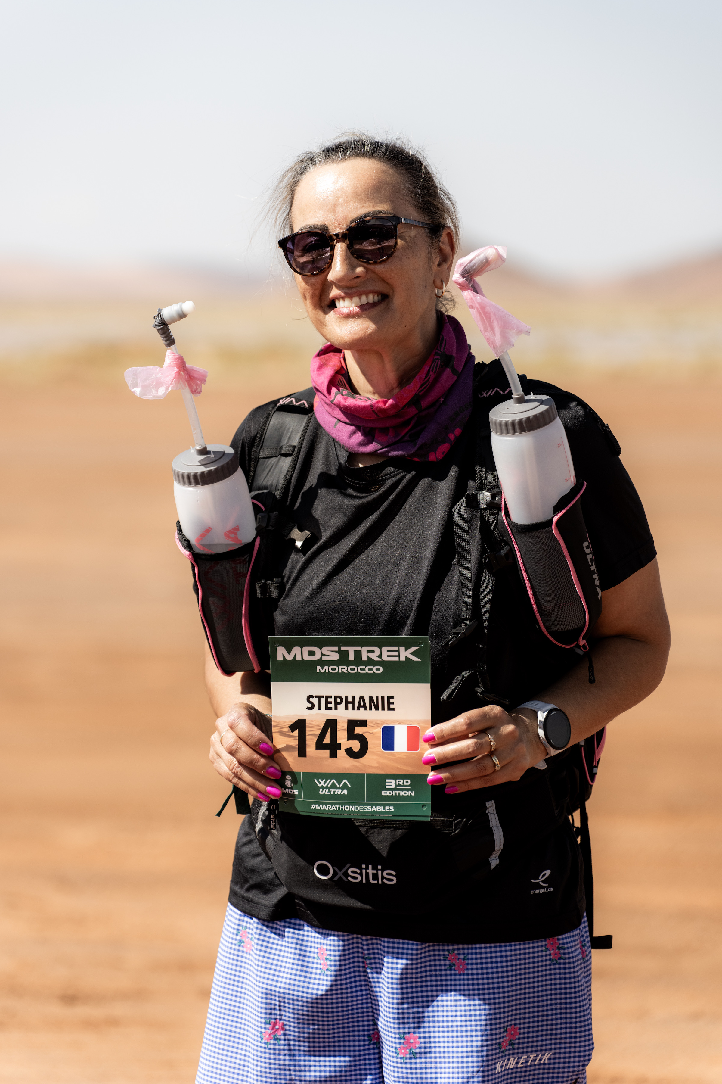
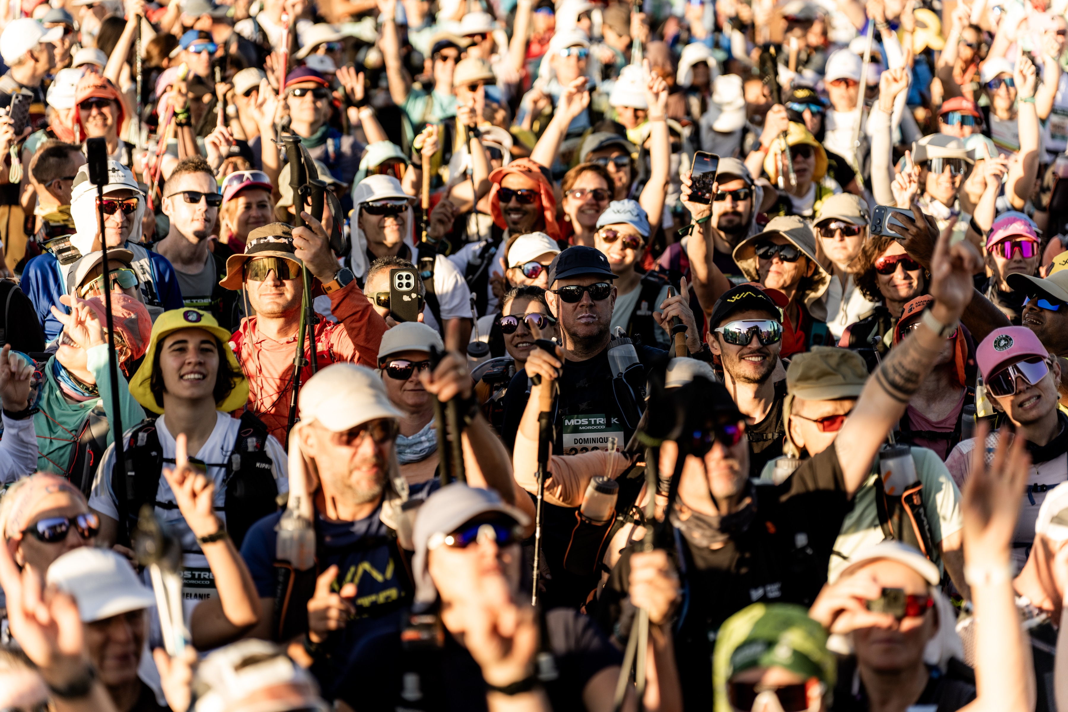
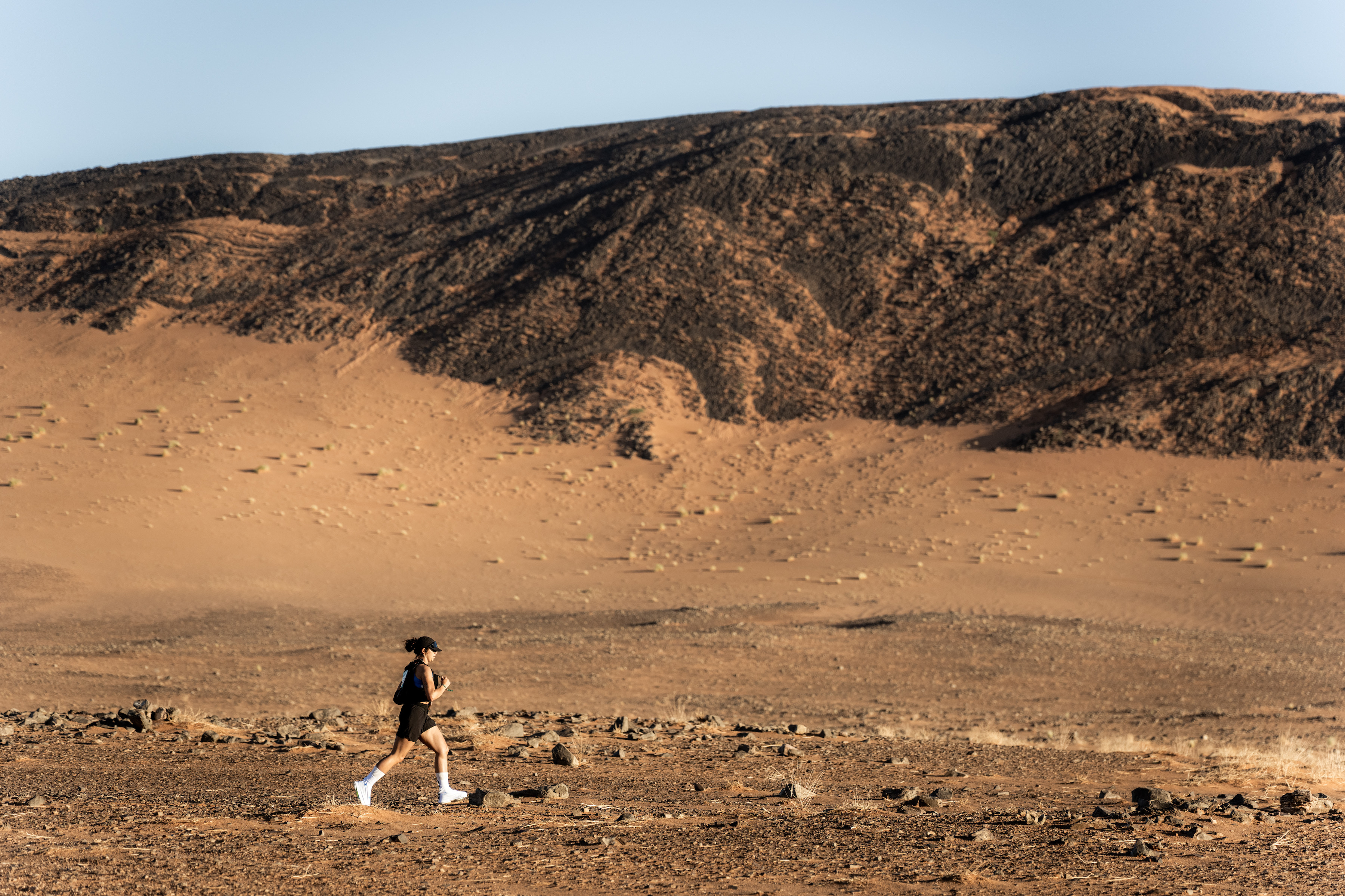
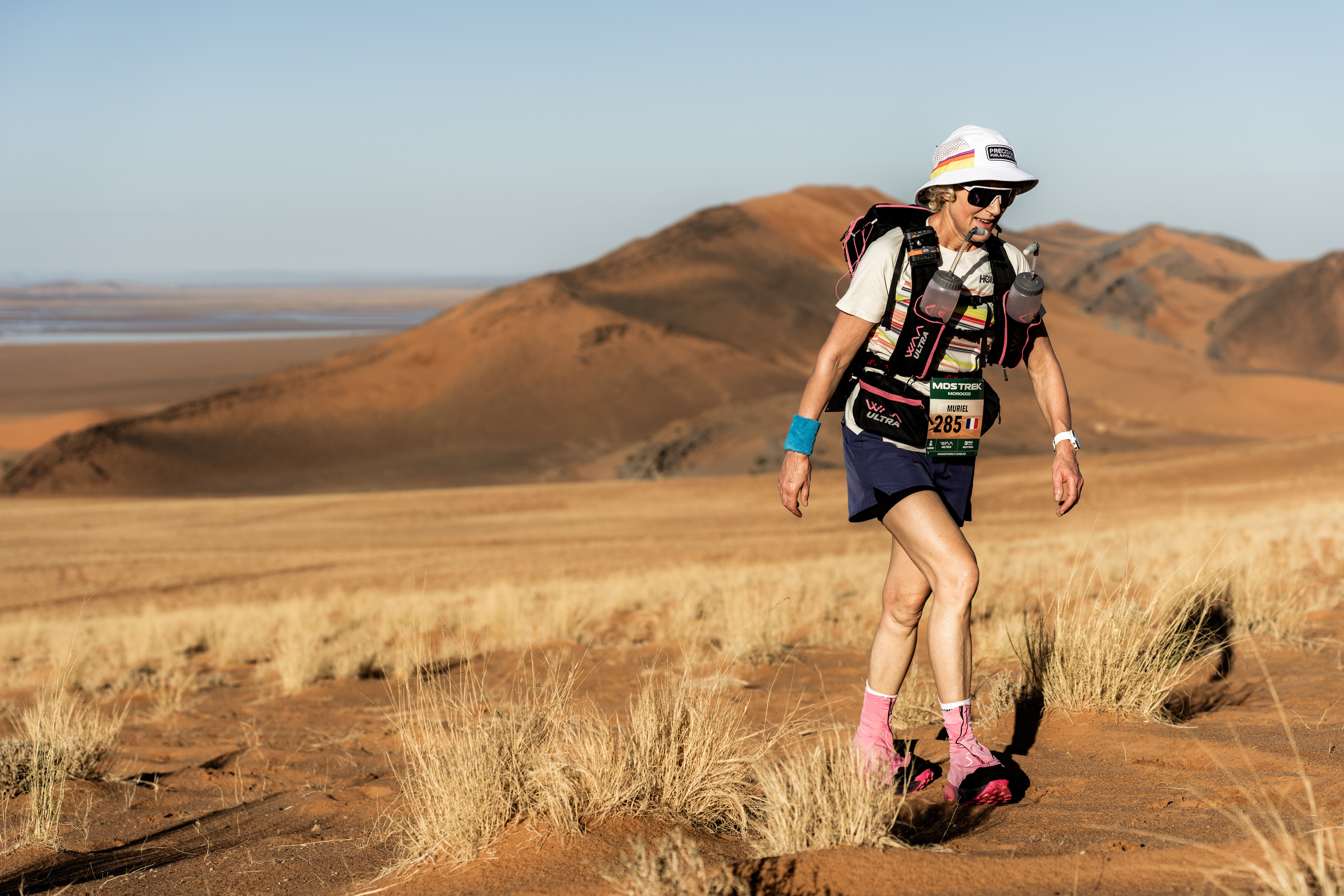
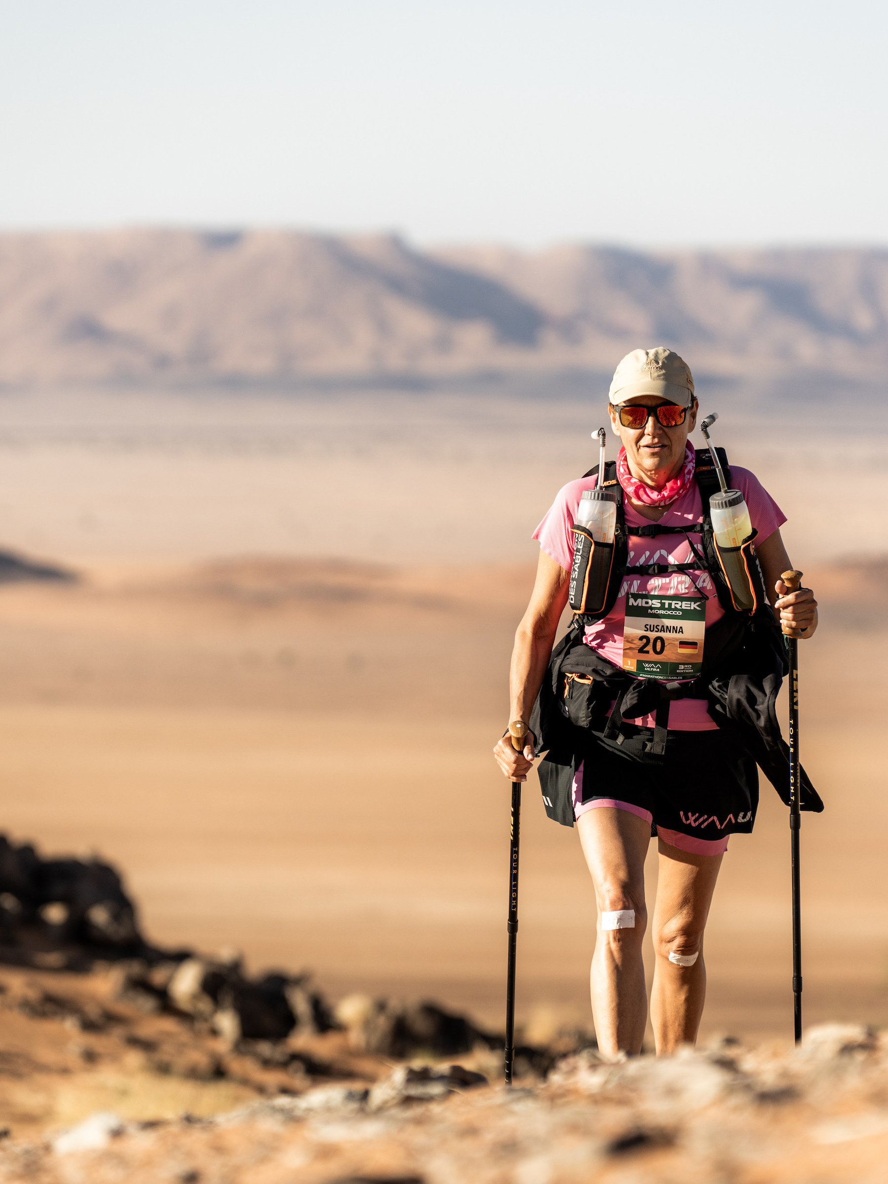
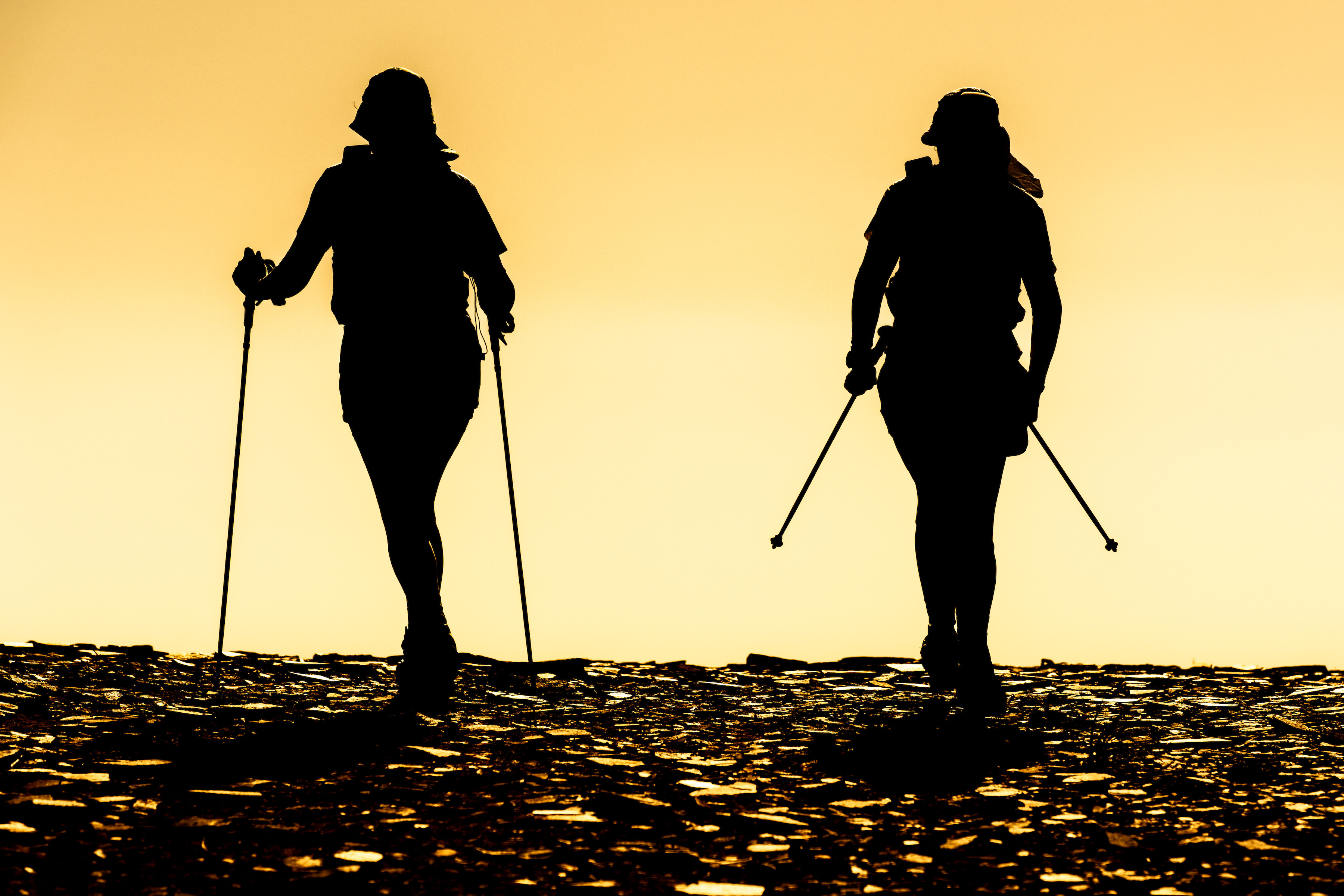
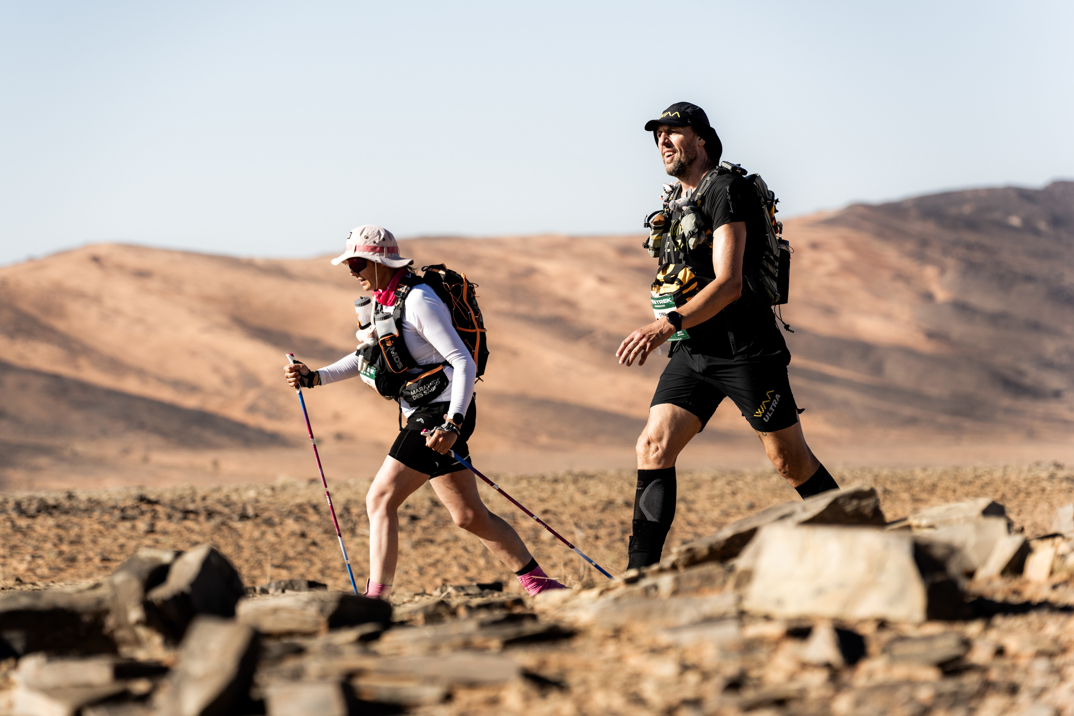
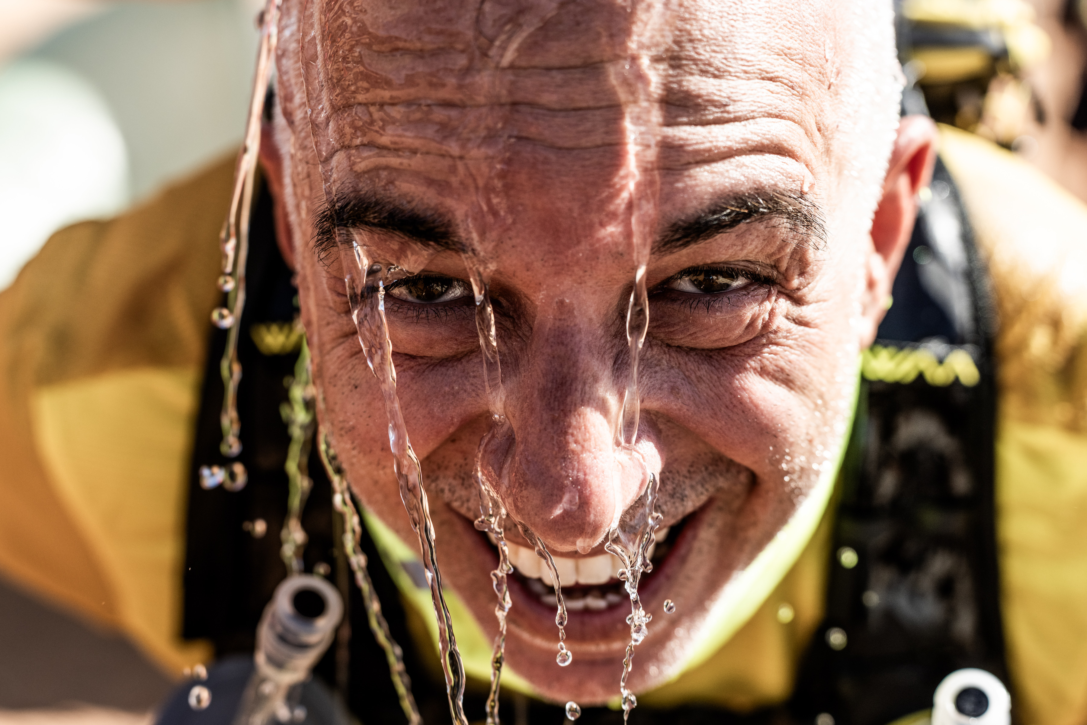
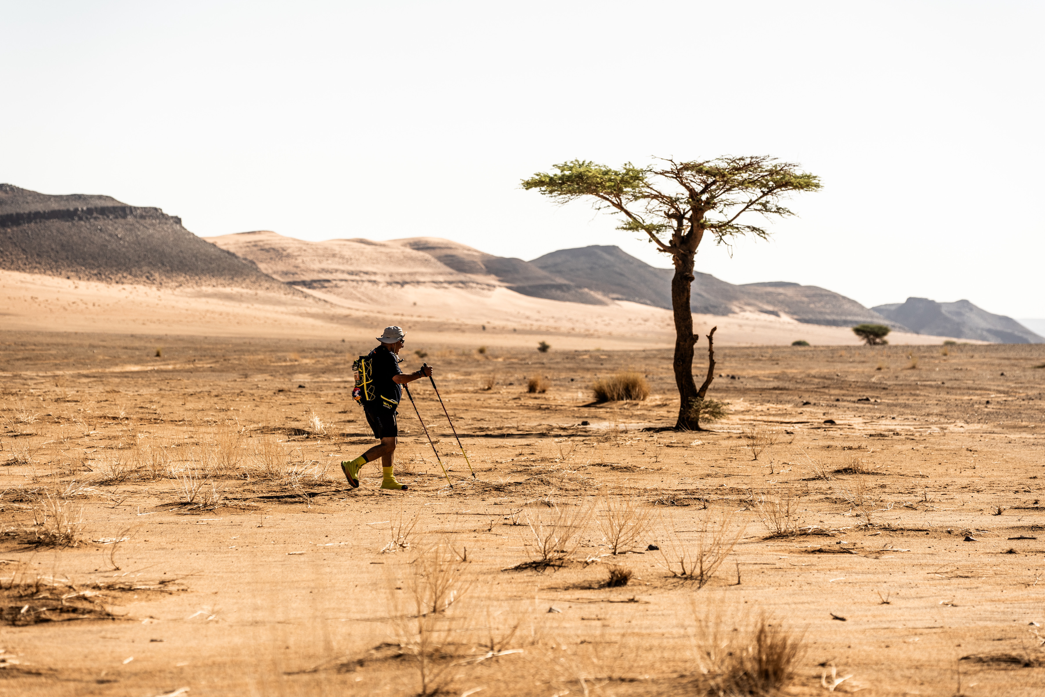
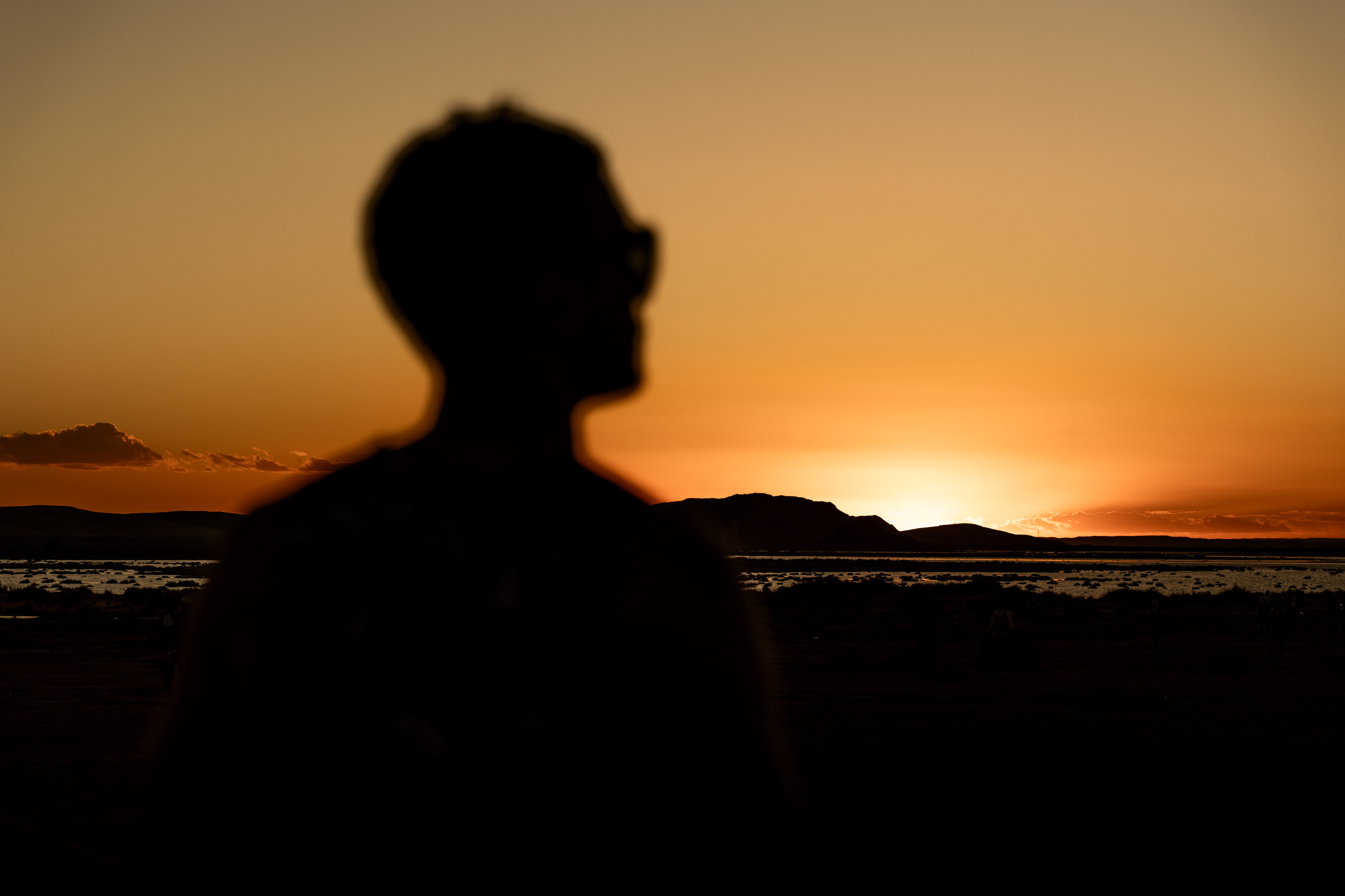
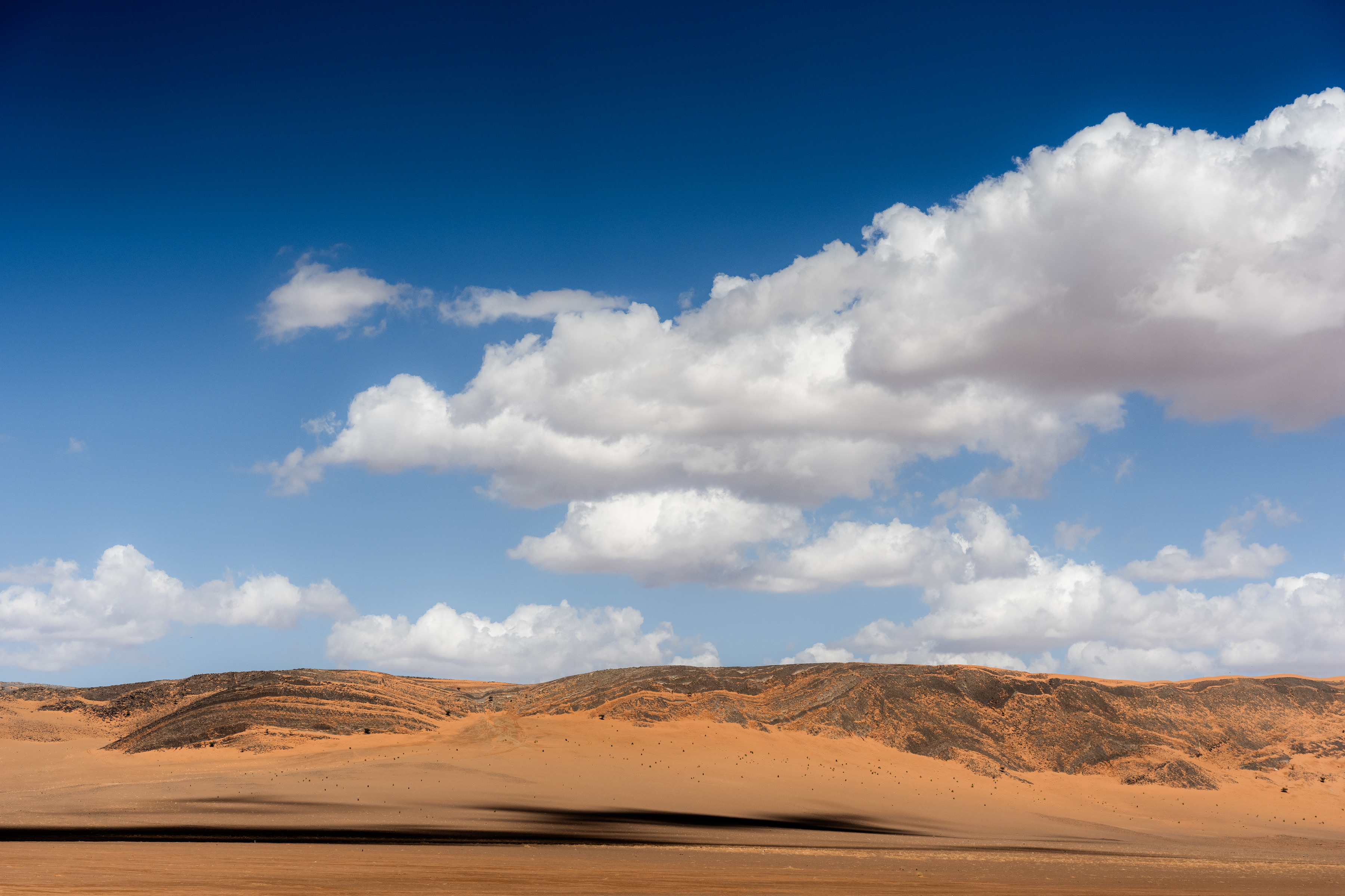
Stage 3 of the MDS Trek is unlike any other. It is not simply a stage. It is an experience that unfolds across two days and one unforgettable night, offering participants something far more valuable than kilometres covered or finish lines crossed.
It is a reminder of what adventure truly means.
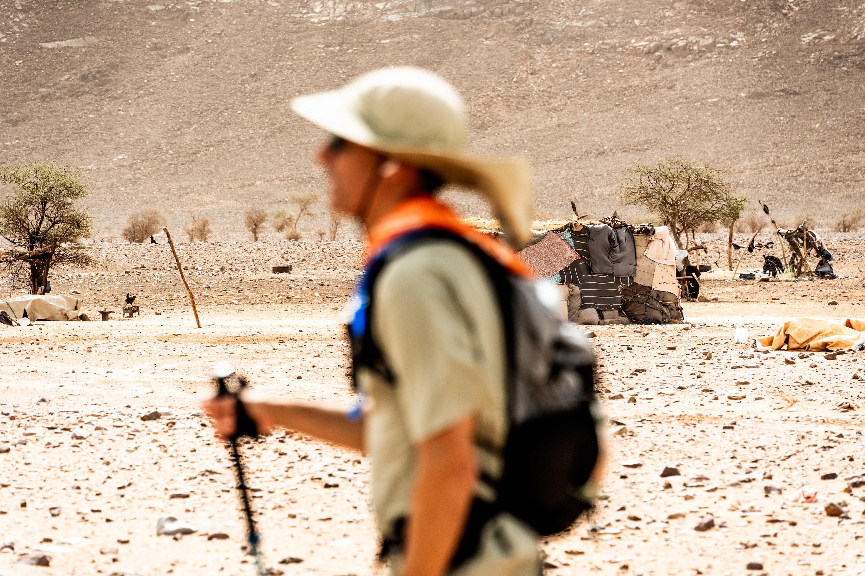
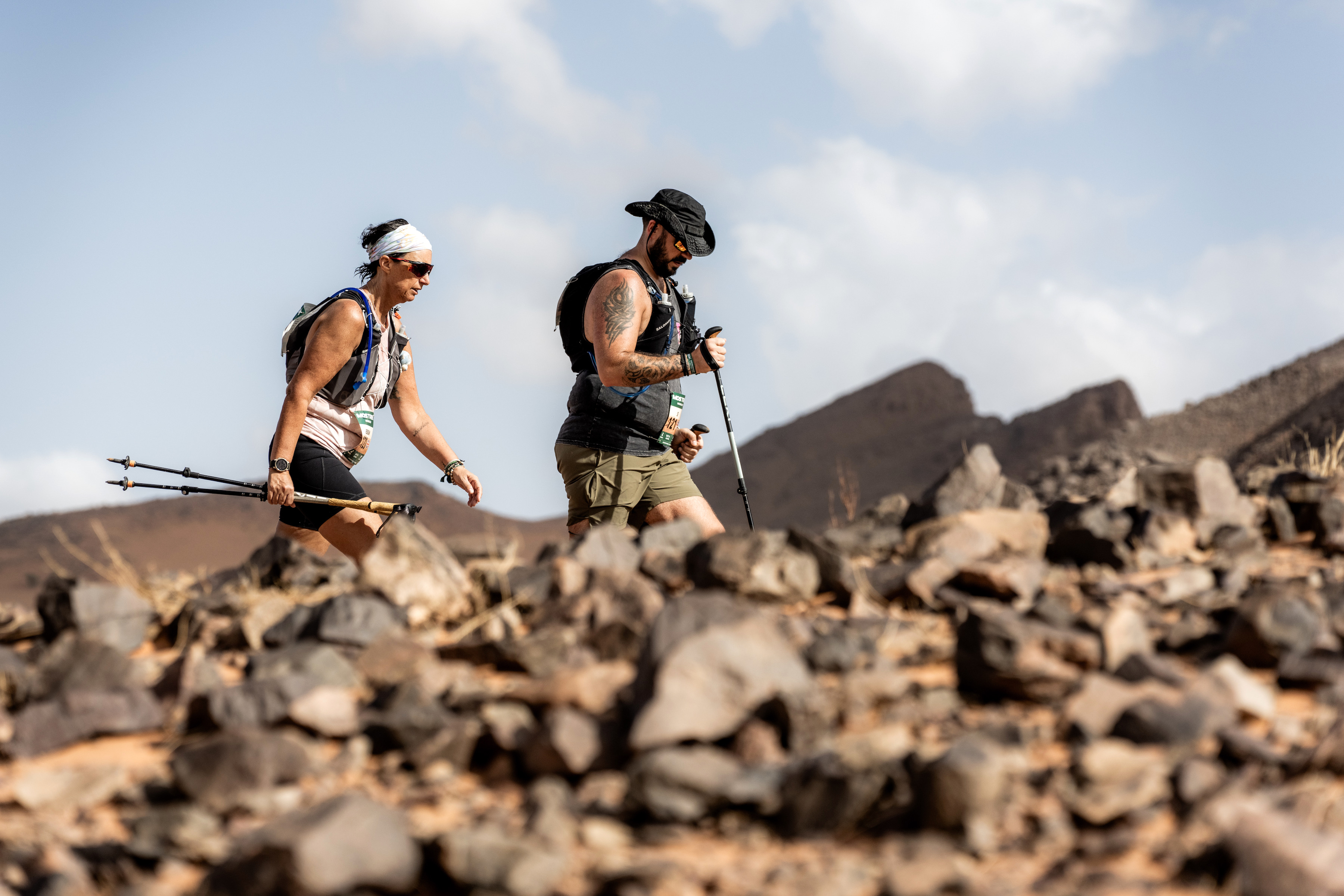
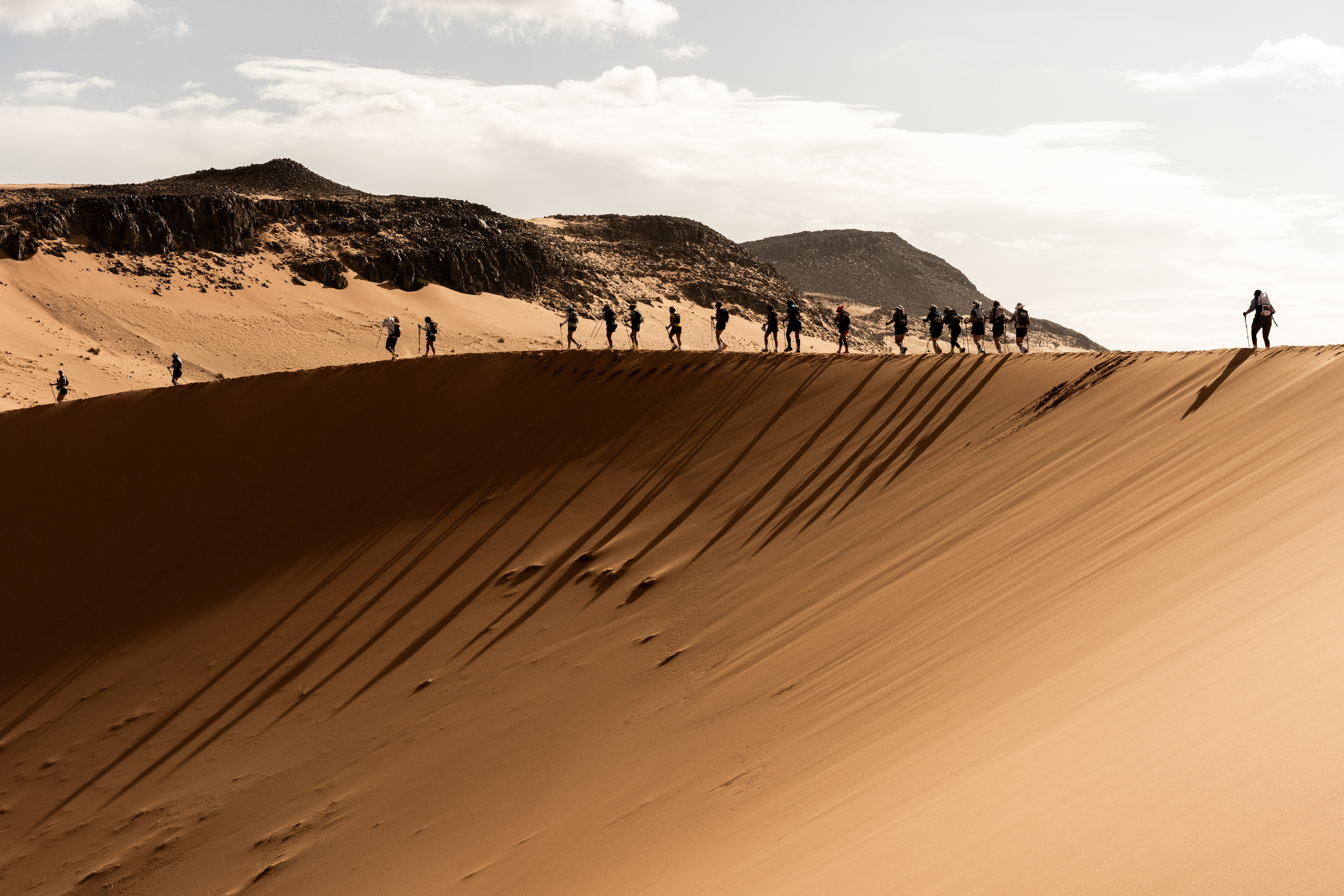
The stage begins with choice. Leaving the comfort of the bivouac behind, participants set out across the Sahara on either a 17.3km or 31.2km route. But this day carries a different energy. There is no return to the familiar tents waiting on the horizon. Instead, the finish line lies somewhere beyond, in a temporary camp deep within the desert.
Adding to the sense of anticipation is the knowledge of what is to come: Star Night.
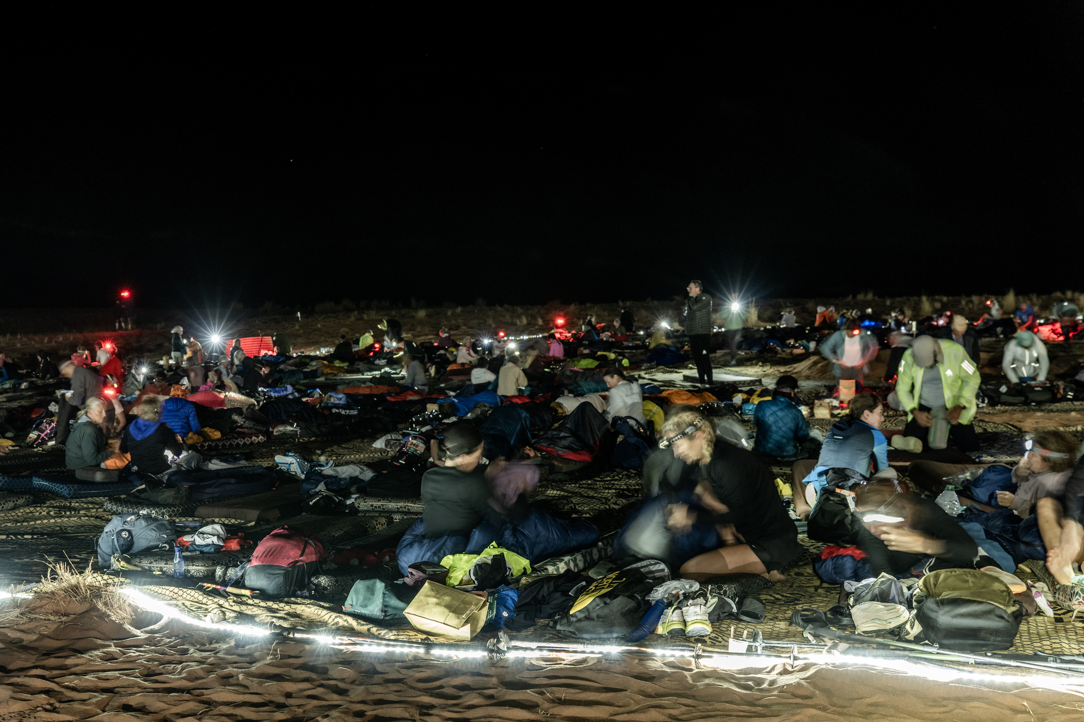
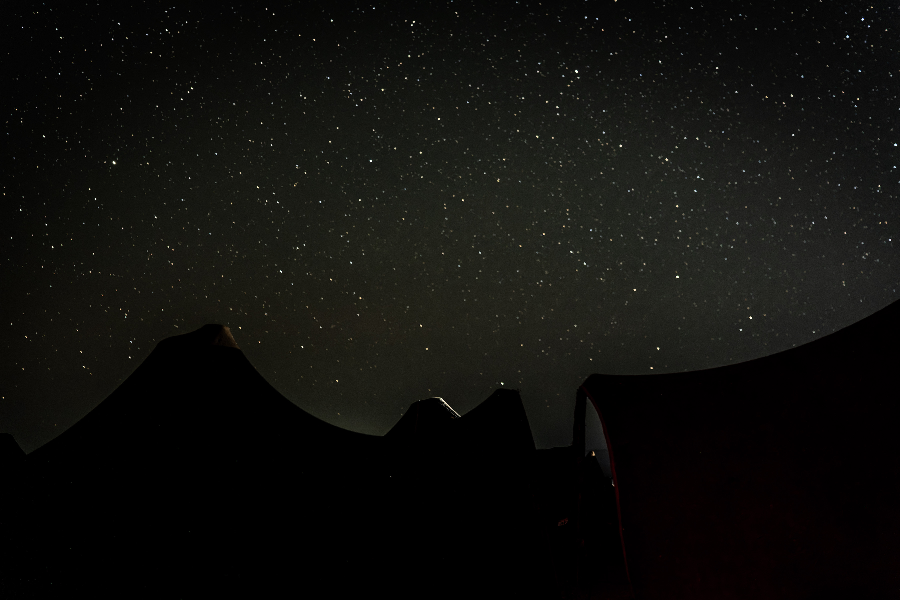
For one evening, participants will sleep beneath the vast Moroccan sky with nothing more than a sleeping bag for shelter. No tent. No walls. No distractions. Just the silence of the Sahara and a canopy of stars stretching endlessly overhead. It is a chance to disconnect from the noise of modern life and experience the desert in a way that has changed little over centuries, much like the Amazigh people who have called this region home for generations.
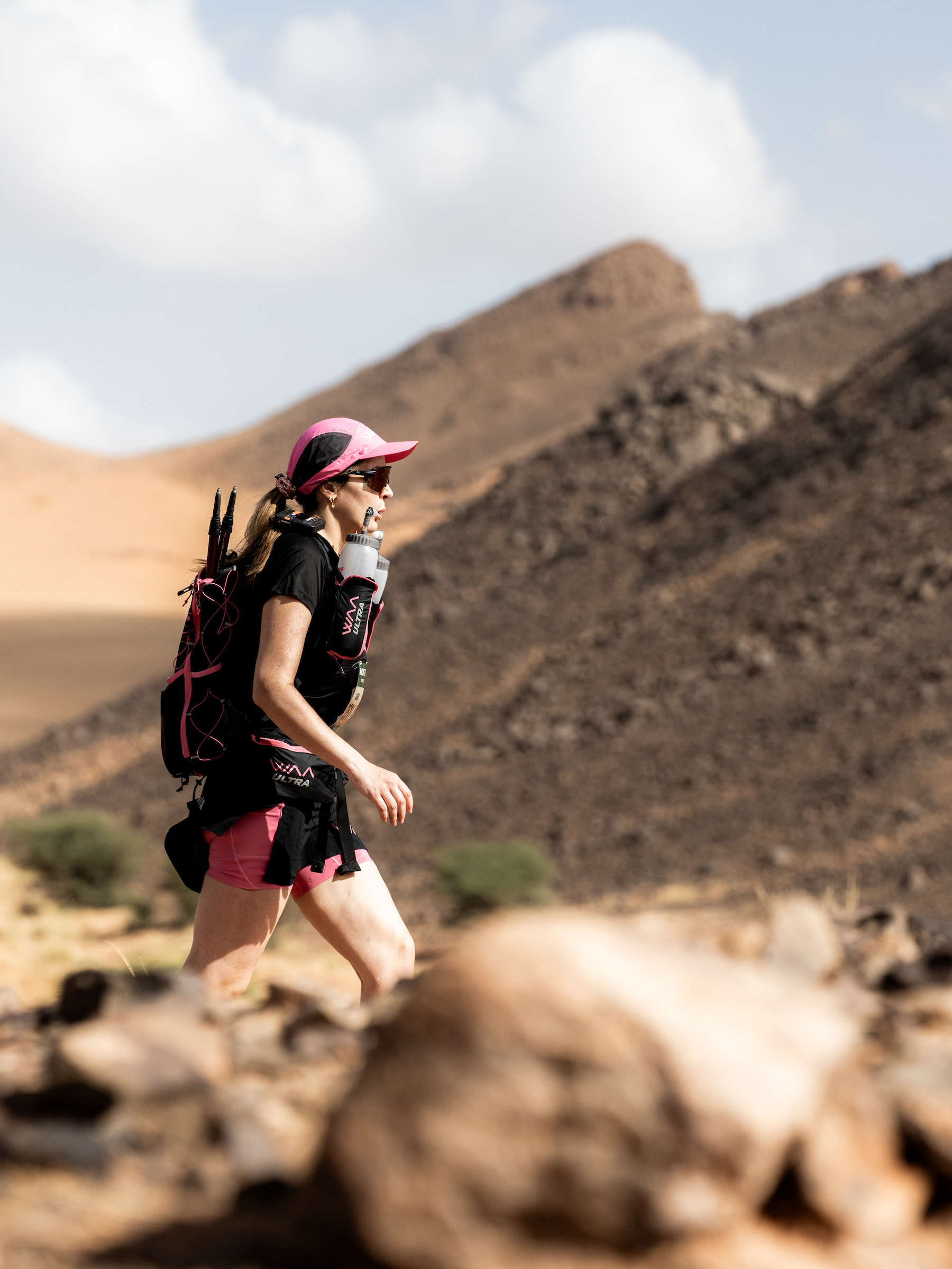
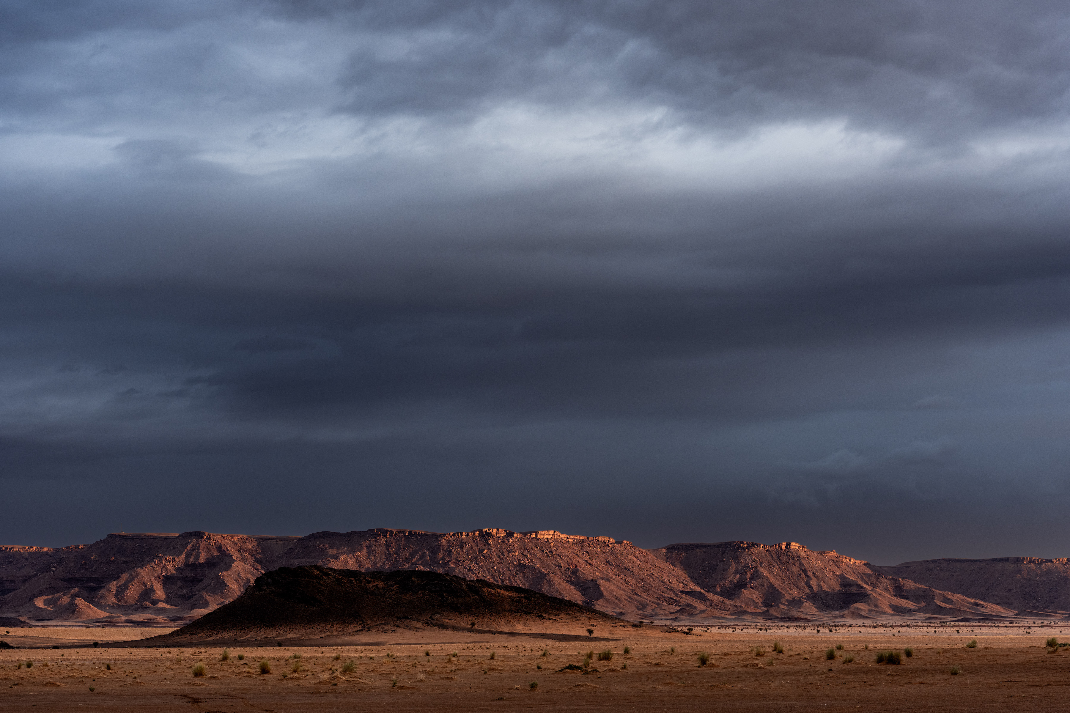
The day began with strong winds and cloudy skies. In most parts of the world such conditions might feel challenging, but in the Sahara they were a gift. The temperature remained cool by desert standards, and participants welcomed the respite. Even so, the longer distances and the prospect of spending a night away from bivouac created an understandable sense of trepidation.
Questions lingered in many minds.
Would the distance prove too much? How would it feel to sleep out in the open desert? What awaited them after sunset? As it turned out, there was little to fear.
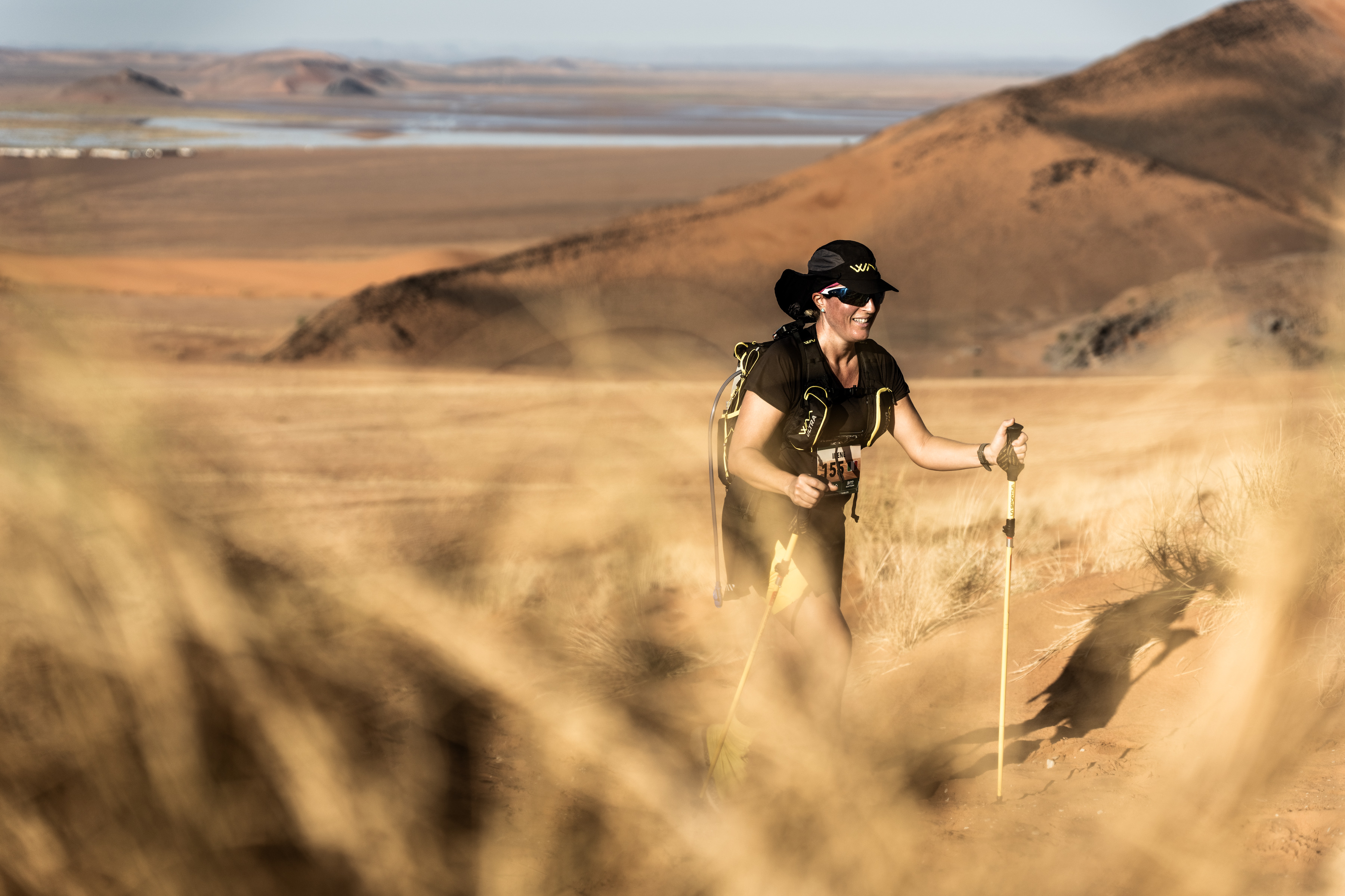
Steadily and determinedly, every participant rose to the challenge. Kilometres passed beneath their feet and, one by one, they reached camp having achieved their goals.
If the journey to camp felt adventurous, the evening that followed felt almost surreal.
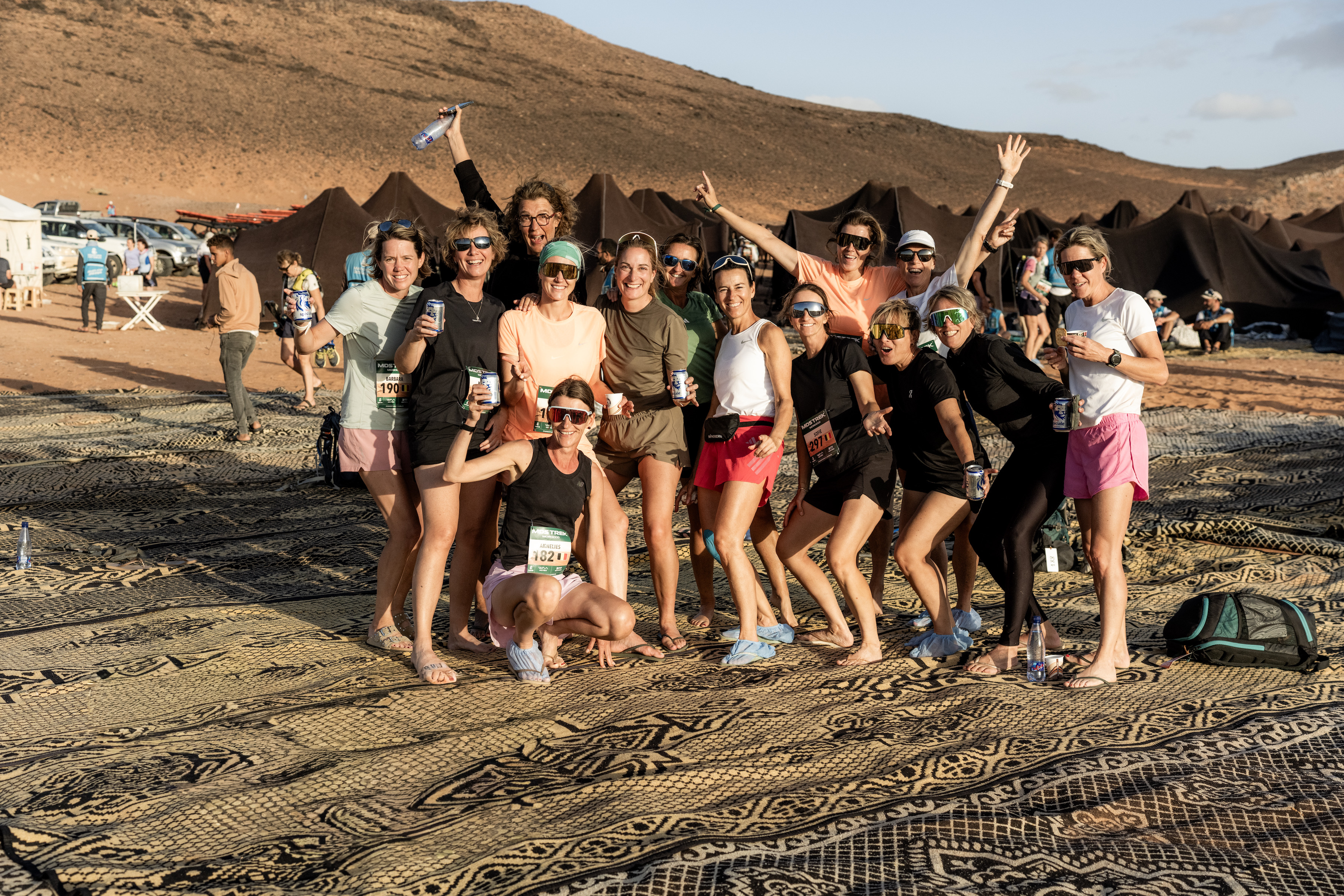
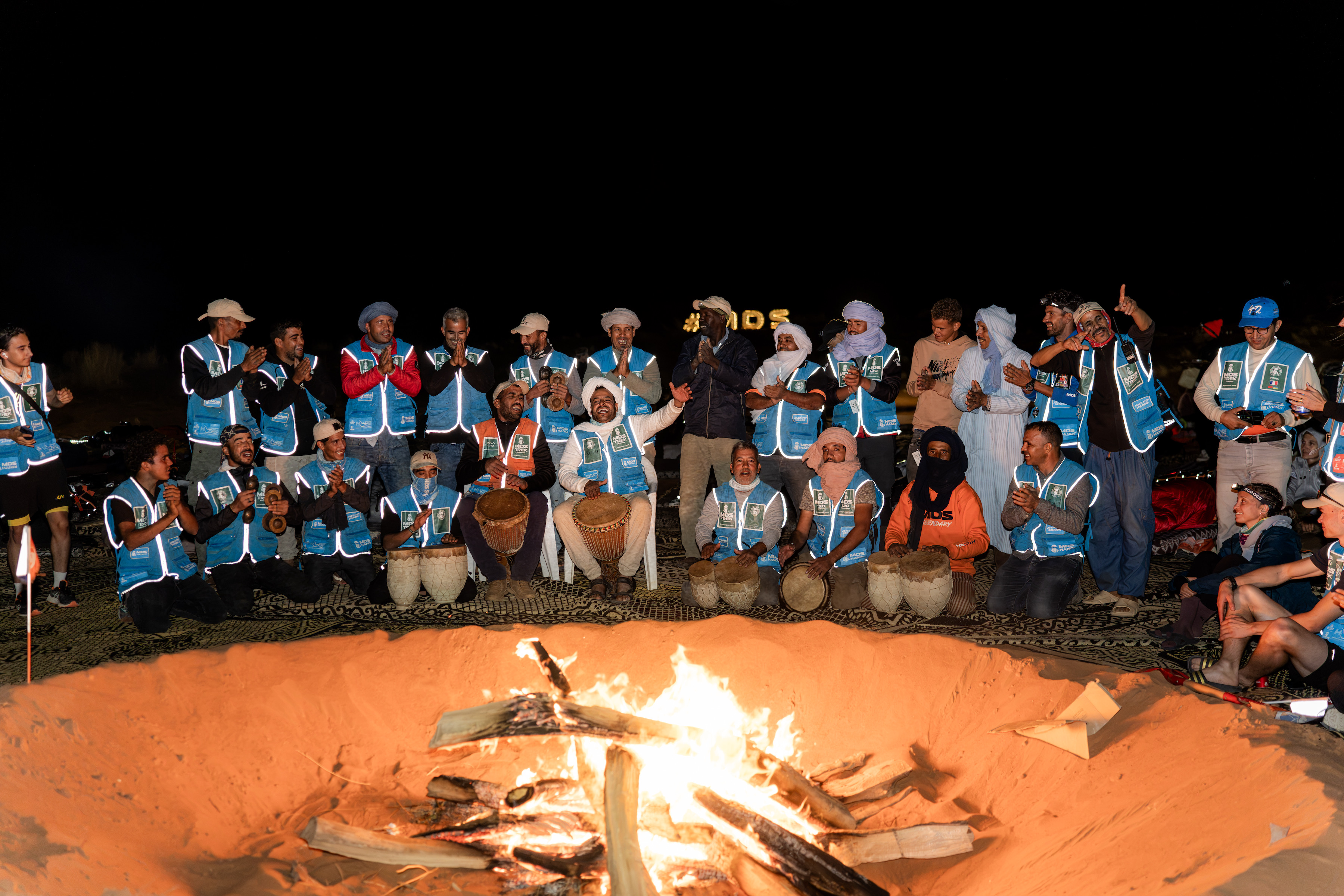
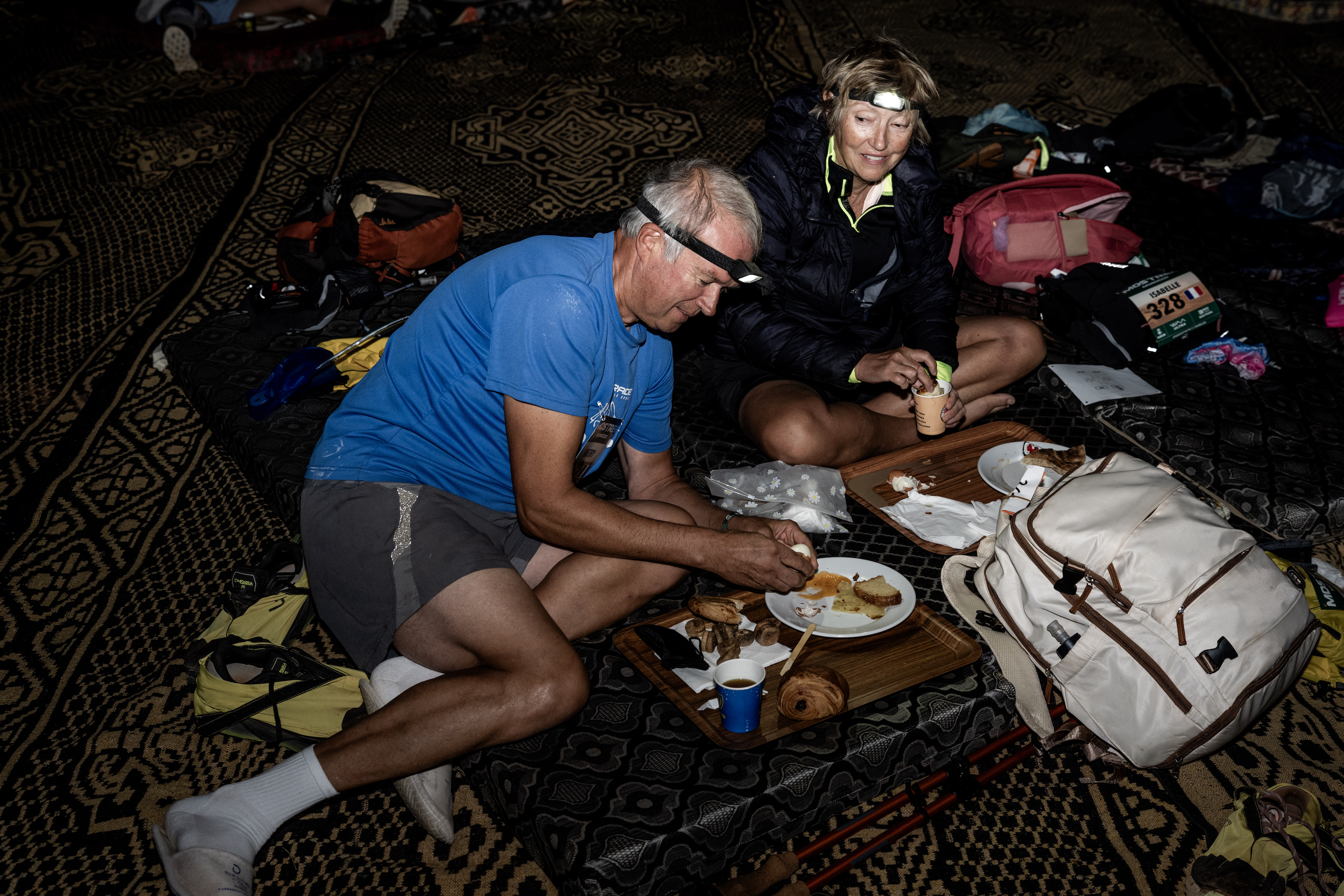
Traditional Berber tents provided welcome shade from the afternoon sun, but as darkness approached, attention shifted towards a large open fire at the heart of the camp. Mats were laid out in a circle and participants gathered together, sharing stories from the trail while the desert slowly cooled around them.
Then came one of the day’s biggest surprises.
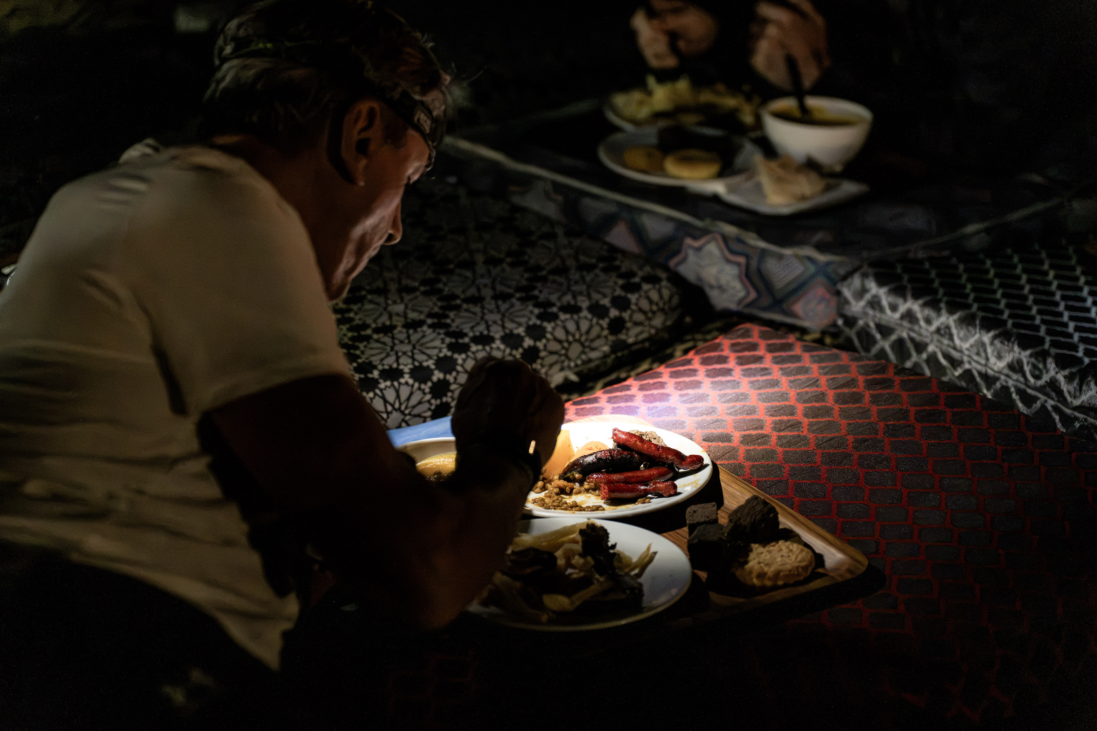
In the middle of nowhere, surrounded by sand and silence, the MDS organisation somehow managed to create a restaurant in the desert. Participants were treated to an impressive selection of food that seemed entirely at odds with their remote surroundings. It was a reminder that adventure does not always mean hardship. Sometimes it means appreciating simple comforts even more deeply because of where you find them.
As the fire burned low and conversations faded, the Sahara took centre stage.
The stars appeared. Thousands upon thousands of them.
With no artificial light to compete against, the night sky revealed itself in all its brilliance. Soon sleeping bags replaced campfire conversations and participants drifted off to sleep with only the stars for company – just like the Amzigah. Then, almost as quickly as it had arrived, the night was gone.
Morning brought smiles, laughter and perhaps a touch of surprise. Everyone had survived. More than that, everyone had loved it.
For many, it was an experience unlike anything they had ever known. A night they will carry with them long after memories of individual checkpoints and finish times have faded. One for the memory banks.
The next challenge arrived early.
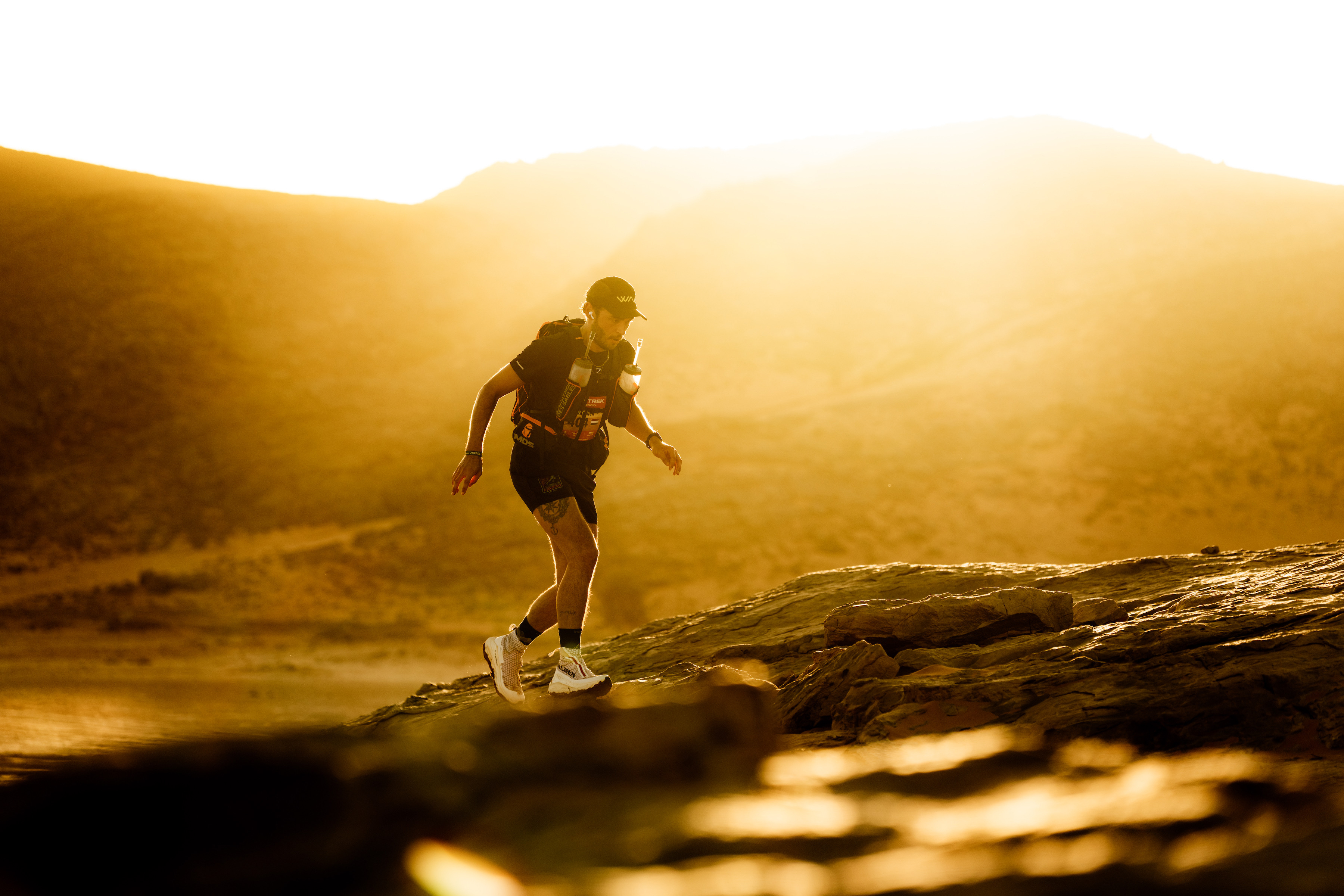
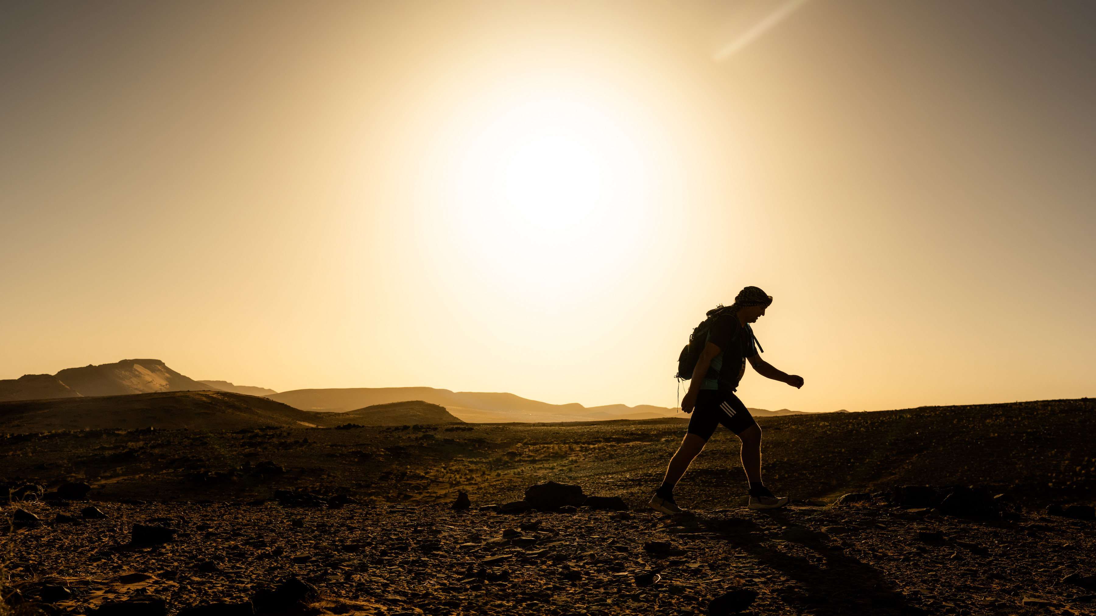
At 06:00, participants once again set off into the desert, choosing between distances of 17.5km and 22.5km. A spectacular sunrise painted the dunes in shades of gold and orange, creating one final gift before the day’s reality emerged.
Heat.
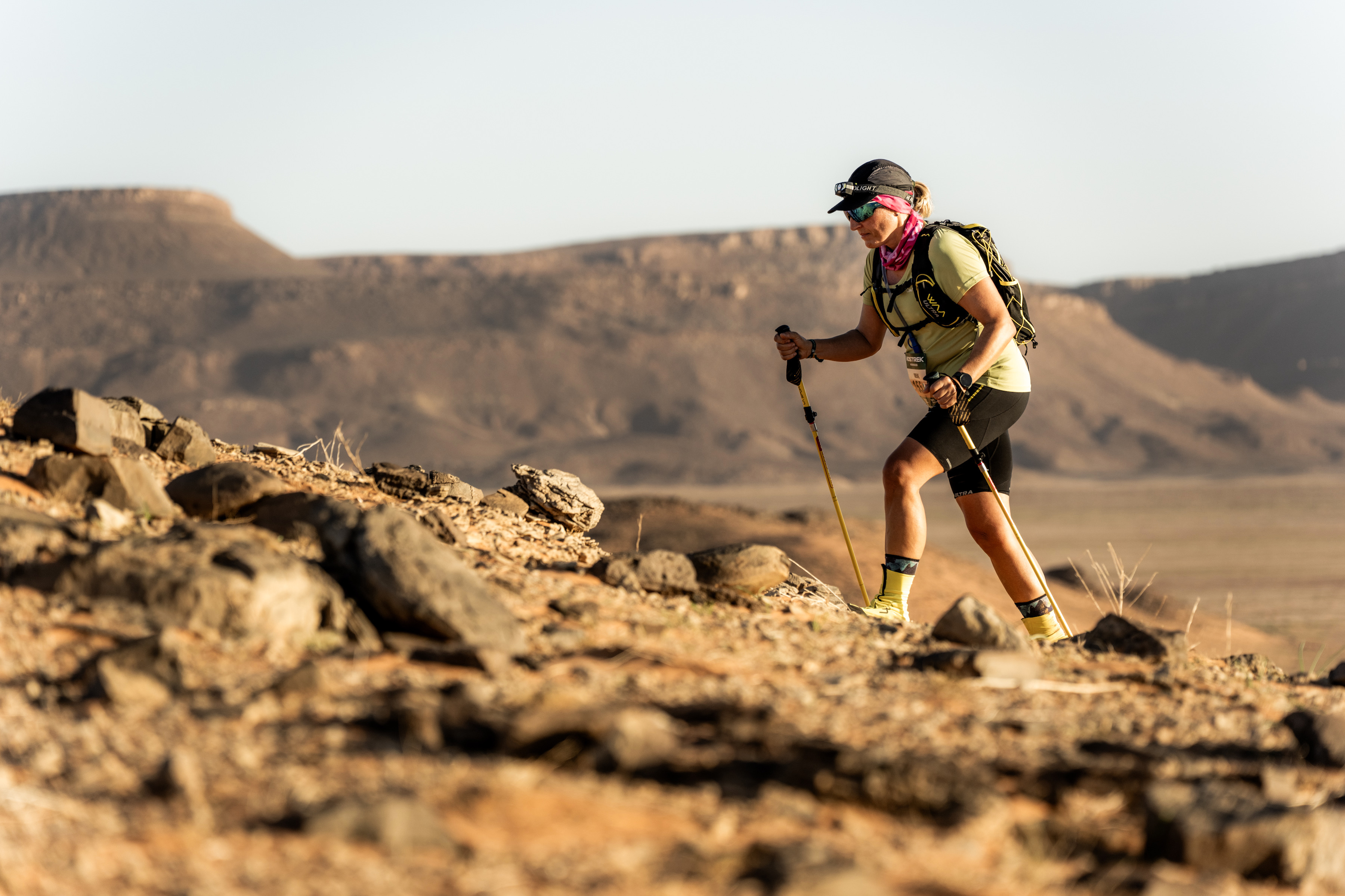
After the unusually cool conditions of the previous day, the return of clear skies and rising temperatures came as a shock to many. The Sahara had revealed its gentler side, and now it was reminding everyone of its true character. Yet the participants responded in the same way they had all week: one step at a time.
By early afternoon, everyone had completed the stage and returned to the welcome familiarity of the bivouac. Two-person tents, lunch and the option of a shower suddenly felt like incredible luxuries.
Perhaps that is one of the greatest lessons the desert teaches.
With just one stage of the MDS Trek remaining, an unexpected feeling is beginning to emerge. Many participants are already dreading the return to normality. Because somewhere between the dunes, the campfires and the endless horizons, they have discovered something rare.
The Sahara strips life back to its essentials. It removes distractions, routines and comforts that are often taken for granted. In doing so, it creates space for gratitude. Gratitude for movement, friendship, challenge and for the simple privilege of being able to explore places that many only dream of visiting.
Stage 3 encapsulates everything the MDS Trek is designed to be: an introduction to new experiences, new ways of moving and new ways of seeing the world.
And for one remarkable night beneath the stars, the desert reminded everyone that adventure is not about escaping life. It is about learning to appreciate it more deeply.
After the excitement and exertions of Stage 1, the atmosphere in bivouac shifted noticeably. The afternoon became a welcome opportunity to recover, recharge and simply absorb the unique experience of life in the Sahara.
Lunch was followed by a wonderfully relaxed few hours. Some participants disappeared into the pages of a good book, others gathered for card games and conversation. Many opted for an afternoon nap, while others simply sat quietly, taking in the silence, the vast open spaces and the incredible surroundings that make MDS Trek so special.
At 16:00, the camp came together for a yoga session in the heart of the bivouac. As bodies stretched and loosened after the previous day’s efforts, the sun gradually sank towards the horizon. The session concluded just as the desert was bathed in the warm glow of sunset, creating one of those moments that participants will remember long after the event is over.
Dinner followed, and with Stage 2 looming, it was an early night for most.
And what a stage awaited.
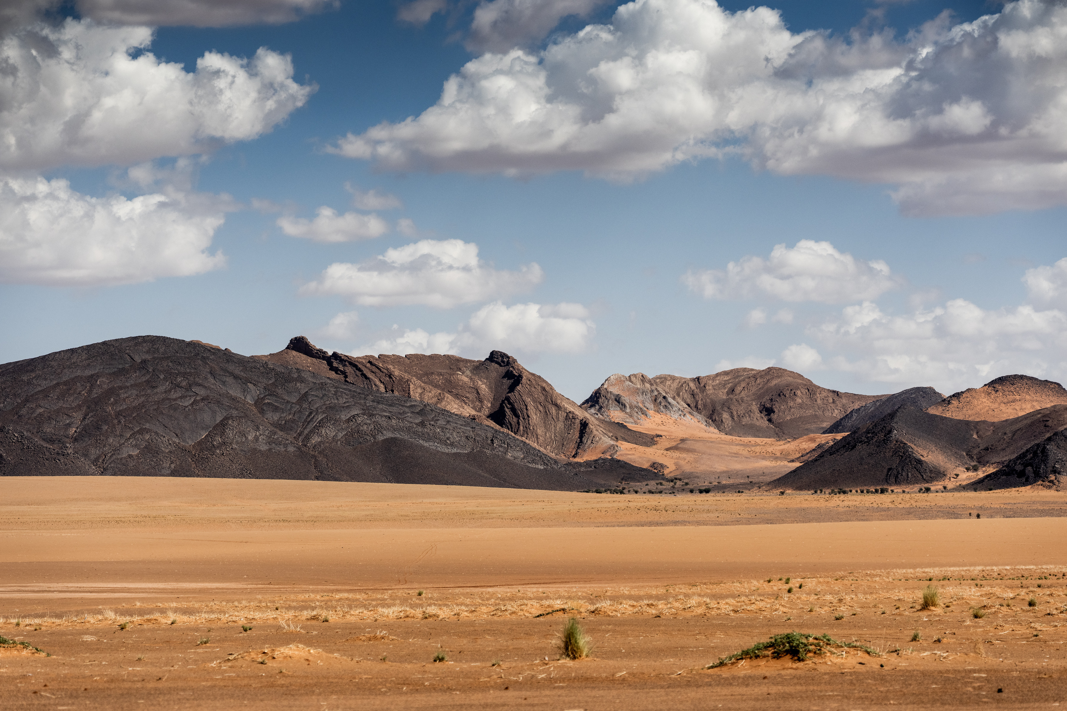
At either 11.7km or 15km, Stage 2 is arguably one of the most spectacular stages not only in MDS Trek history, but across all MDS events. The route showcases everything that makes racing in the Sahara so magical, combining dramatic landscapes, varied terrain and constantly changing scenery.
The stage begins gently enough with a flat opening kilometre before the route rises onto a ridge. From there, participants traverse a mixture of rocky ground and sand, gaining ever more impressive views of the surrounding desert.
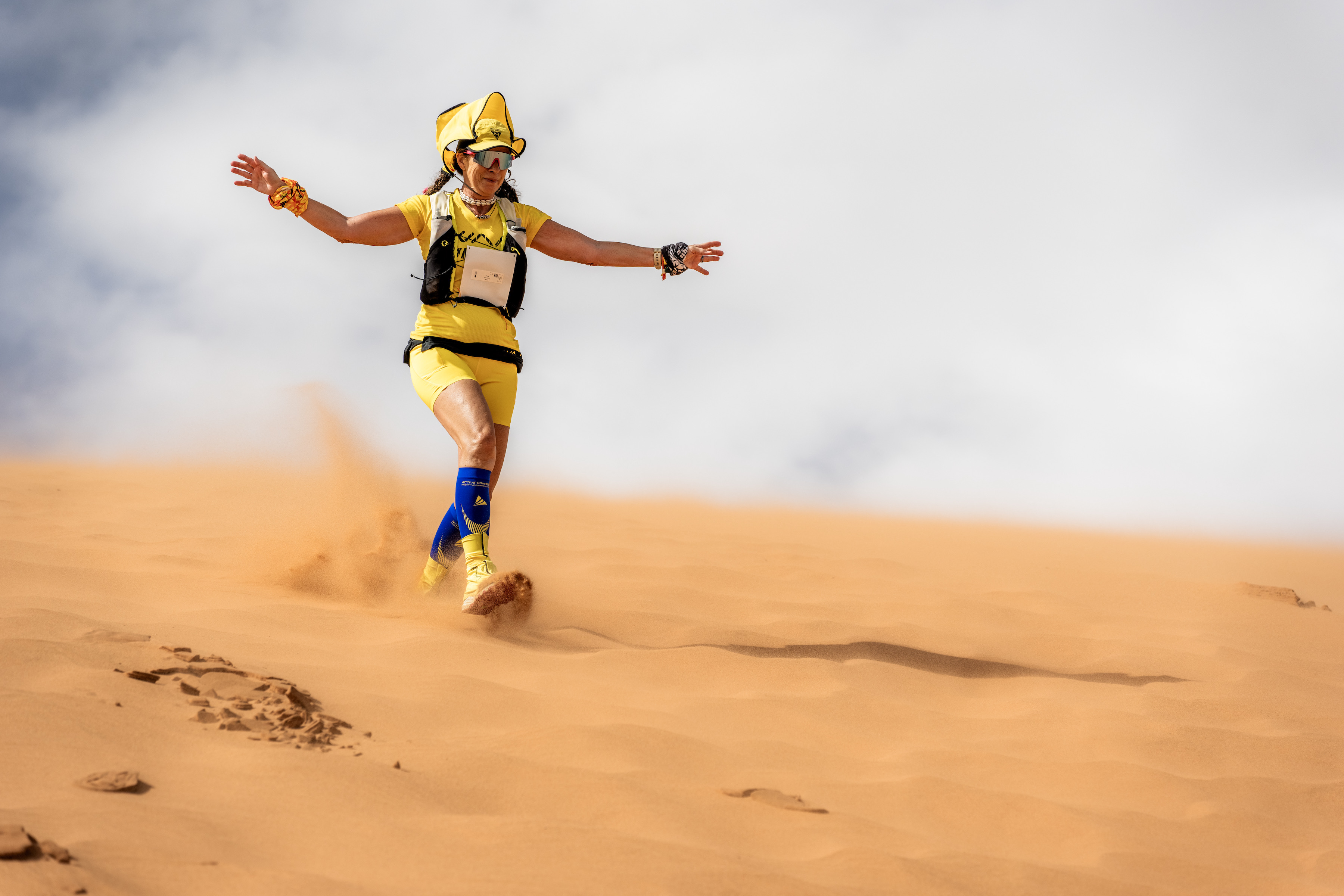
Then comes one of the highlights of the entire race: a thrilling descent down a huge dune. It is pure Sahara running at its finest, with competitors able to bound down the soft sand towards Checkpoint 1.
Waiting at CP1 are water refills, shade for those needing a short respite and, perhaps most welcome of all, ice for cooling necks and helping to manage the steadily rising desert temperatures.
The journey then continues across a relatively flat traverse towards CP2. While the terrain allows runners and walkers to find a rhythm, it is the breathtaking mountain scenery that continually draws participants forward, each turn revealing another stunning vista.
At CP2, the course offers a route choice, with participants selecting between the shorter and longer options. Regardless of the decision, both routes provide a memorable journey through mountain terrain before eventually rejoining for the final push to the finish line.
Adding even more magic to the day was a stunning sunrise and the golden desert light that illuminated the landscape throughout the morning. Combined with the incredible route, it created exactly the kind of day that defines MDS Trek.
Tomorrow brings the next chapter of the adventure with Stage 3, Part 1. Participants will choose between routes of 17.3km or 31.2km, but this time there is a significant difference: they will not return to the bivouac at the finish of the day.
Instead, the stage concludes deep in the Sahara, where an unforgettable night beneath a canopy of desert stars awaits.
Following the excitement of MDS 120 Morocco and MDS Handi, the MDS organisation now turns its attention to a very different, yet equally special, desert experience: MDS TREK.
Photo Ferdinand Charriau
If you’ve ever looked at images of runners crossing the Sahara and thought, “I’d love to experience that, but there’s no way I could race across the desert,” then MDS TREK was designed with you in mind.
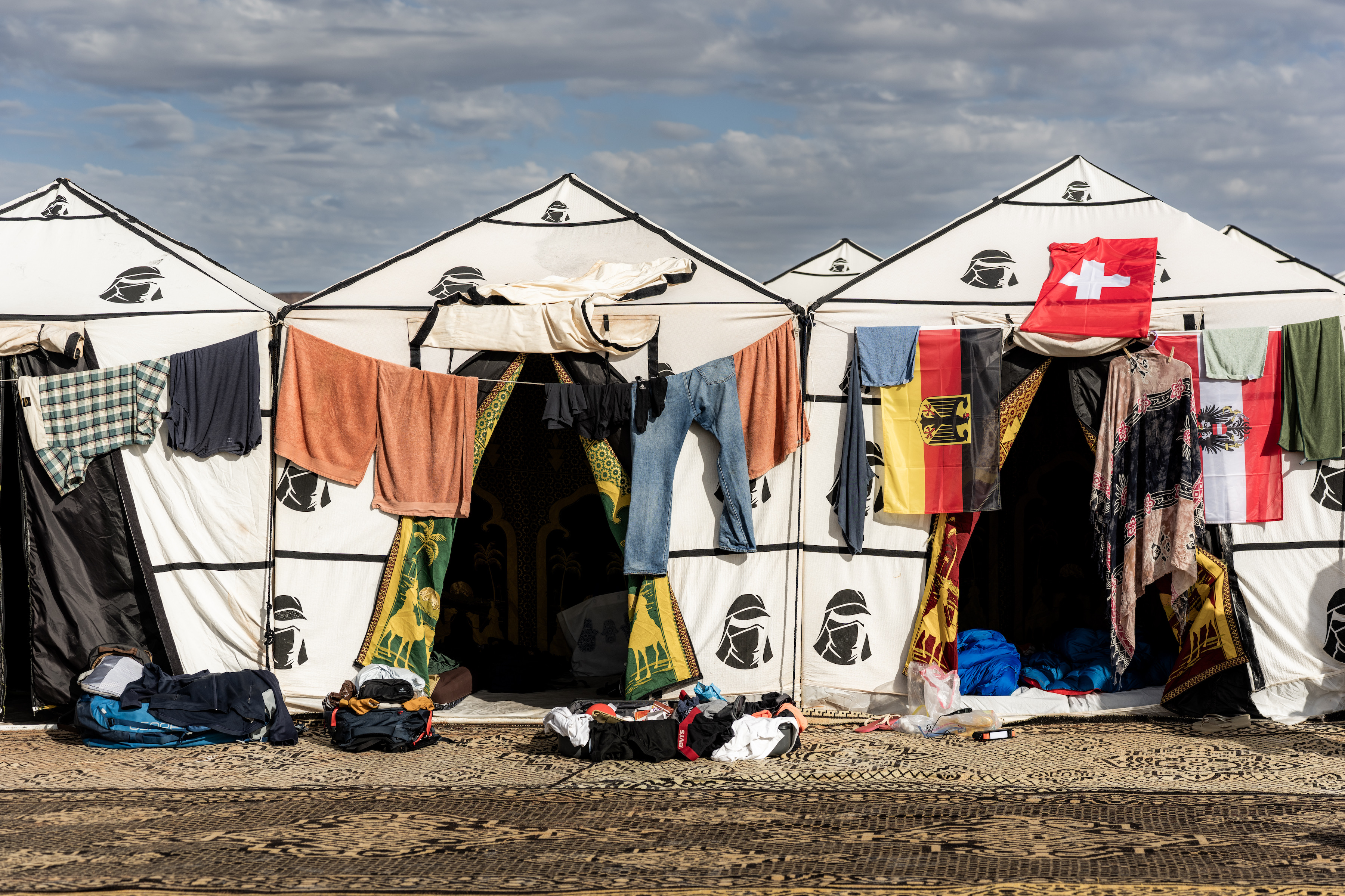
Unlike the self-sufficient MDS events, where participants carry everything they need, MDS TREK offers a more comfortable and accessible way to immerse yourself in the magic of the Sahara. Breakfast, lunch and dinner are provided every day. The iconic MDS bivouac remains, but instead of sleeping under communal tents, participants stay in twin-share individual tents complete with mattresses. Add optional massages, a locally managed bar serving drinks in camp, and the result is something that feels less like a race and more like an unforgettable active adventure holiday.
Of course, this is still the Sahara.
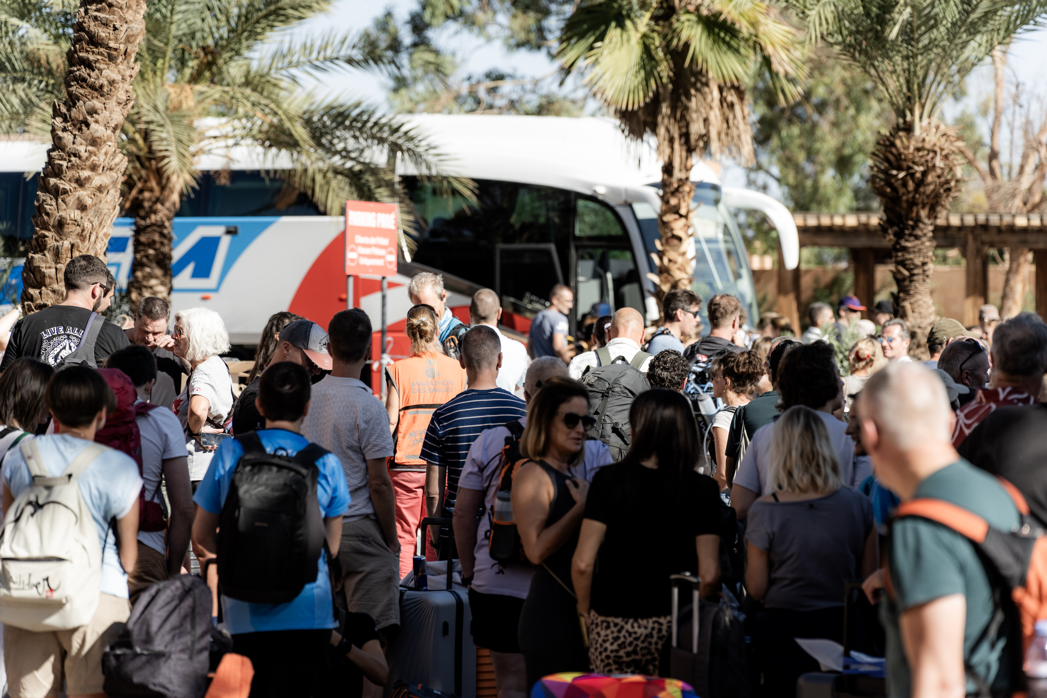
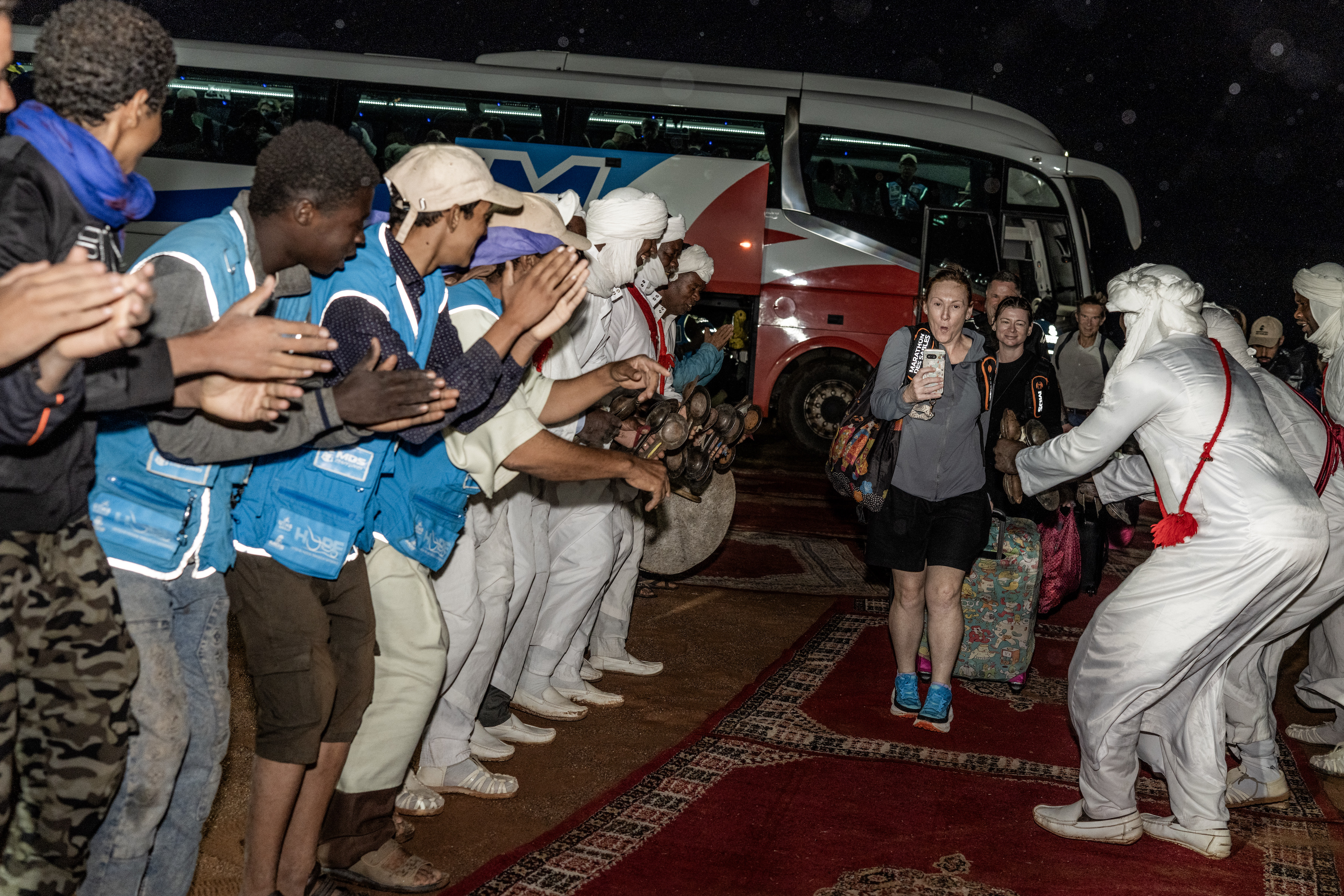
Participants gathered in Ouarzazate several days ago before making the journey south into the desert. Their arrival wasn’t without drama. Unseasonal storms swept through the region, creating challenging conditions for organisers and bivouac crews alike. The desert had delivered an early reminder that nature is always in charge.
Fortunately, by morning the Sahara had transformed once again.
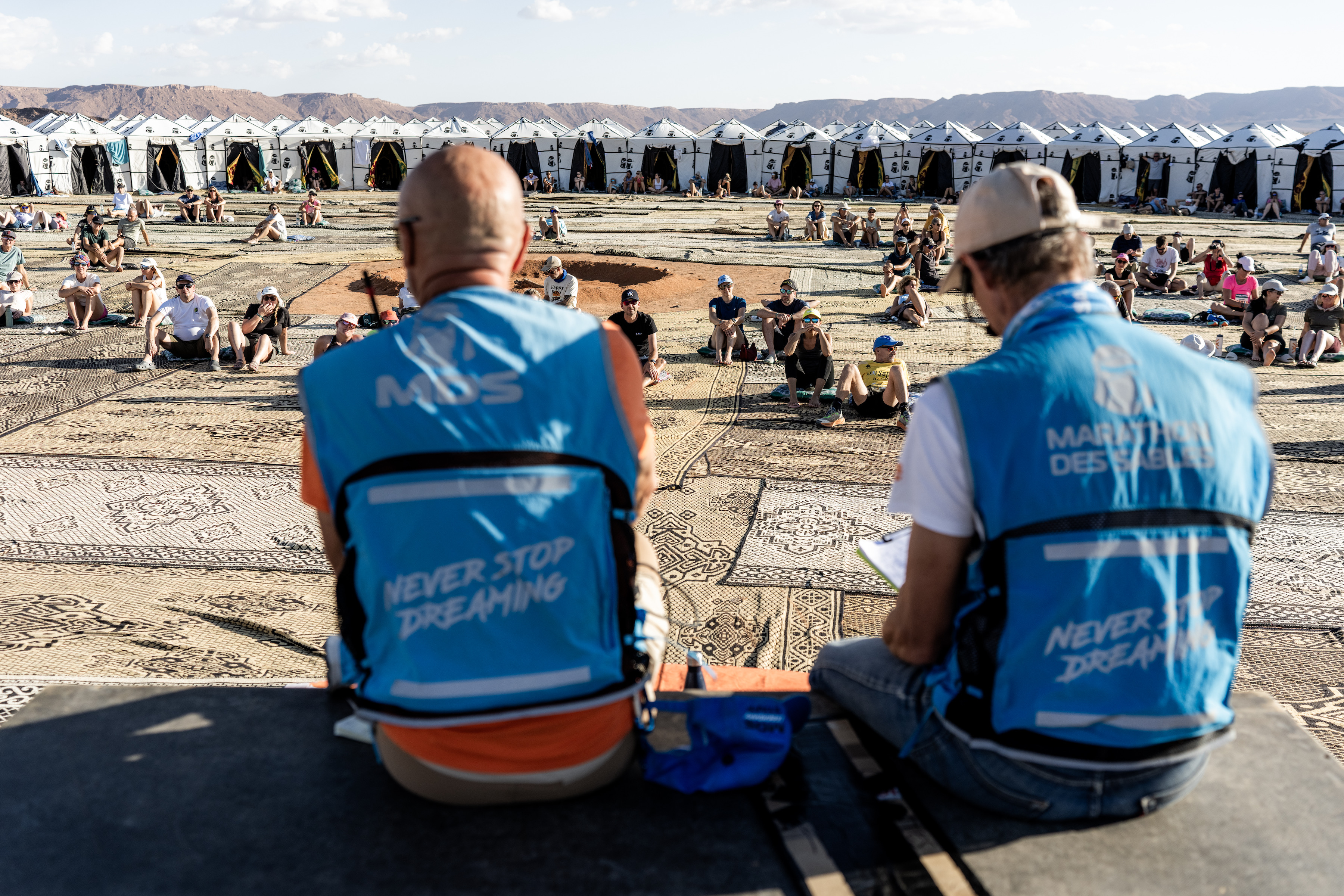
Blue skies replaced the storm clouds, sunshine warmed the camp, and the desert revealed its more familiar face. Day one was intentionally relaxed, allowing participants to settle into camp life with technical checks, a leisurely lunch and an informative afternoon briefing.
As the sun dipped below the dunes, painting the horizon in shades of gold and orange, everyone gathered for dinner before turning in early.
Tomorrow would bring the real adventure.
Stage 1: The Journey Begins
One of the defining features of MDS TREK is choice.
Participants can select between two route options each day, and for Stage 1 those choices were 15.5km or 22km. There are no cut-off times, no pressure and no expectation to race. While running is welcomed, trekking and walking are very much encouraged. The emphasis is on enjoyment, discovery and experiencing the desert at your own pace.
And that is where the real beauty of MDS TREK lies.
For many participants, this is their first time in a desert. For some, it is their first multi-day adventure. Others arrive after years of dreaming about doing something outside their comfort zone. MDS TREK creates an environment where people of all ages, backgrounds and abilities can challenge themselves without the intimidation often associated with traditional endurance events.
As dawn broke over the Sahara, calm conditions and a spectacular sunrise greeted the 400-strong field. At 7:00am, participants set off into the vastness of the desert, beginning what for many will become one of the most memorable weeks of their lives.
With seven nights spent in the Sahara, MDS TREK is far more than a sporting event. It is a fully immersive experience. Across five days of movement and four stages, participants will explore spectacular landscapes, with Stage 3 split into two parts and featuring the much-loved Star Night, where participants spend a night beneath one of the most breathtaking night skies imaginable.
Results are very much secondary at MDS TREK. This event is about the experience rather than the stopwatch. Nevertheless, there will always be those who like to push the pace. For anyone interested in following the competitive side of the event, live results are available online.
The statistics from Stage 1 tell their own story about the inclusive nature of the event. Of the finishers, 348 participants chose the longer 22km route, while 40 selected the 15.5km option. Different distances, different goals, but exactly the same sense of achievement at the finish line.
Because in MDS TREK, every participant has their own personal victory.
Some are discovering they can walk further than they ever imagined. Some are building confidence with every step across the dunes. Others are sharing an adventure with friends, family and fellow trekkers from around the world. Every story matters, and every finisher is an inspiration.
Looking Ahead
Stage 2 promises one of the highlights of the entire week.
Participants will climb a spectacular ridge at sunrise, a truly unforgettable experience that showcases the beauty and scale of the Sahara at its very best. Once again, there will be two route options, 11.7km and 15km, ensuring everyone can choose the challenge that suits them.
And that perhaps sums up MDS TREK perfectly.
This is not about being the fastest. It is not about elite athletes or extreme performances.
It is about adventure. It is about sharing extraordinary moments in an extraordinary place. It is about discovering that you are capable of far more than you think.
Most of all, it is proof that the magic of the Sahara can be experienced by everyone.
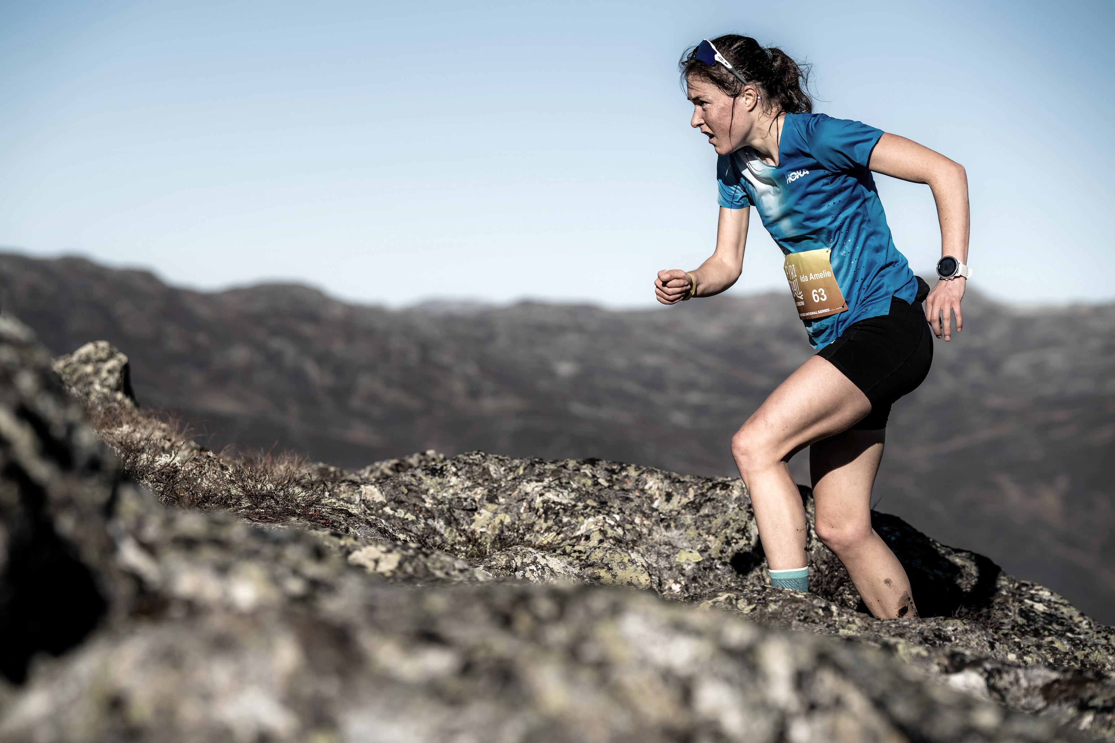
After the deaths of Ida Amelie Robsahm and Kalie McCrystal, how should mountain runners think about risk, responsibility and the desire to live fully?
On Monday, I heard the tragic news that Ida Robsahm had died after a fall while running on Romsdalseggen in Norway.
I knew Ida personally, the news hit hard stopping me in my tracks and resulting in a flood of tears for the terrible loss of someone who had so much to live for.
Ida at Fyri Trail, Norway 2024 – Photo by Ian Corless
Because she was doing exactly what all of us in the trail and mountain running community do. Because I had been running on that very Romsdalseggen ridge myself. Because, following the loss of Kalie McCrystal on the Matterhorn just a few weeks before – all these elements combined as another reminder of something many of us know, yet rarely choose to confront.
Life in the mountains is fragile.
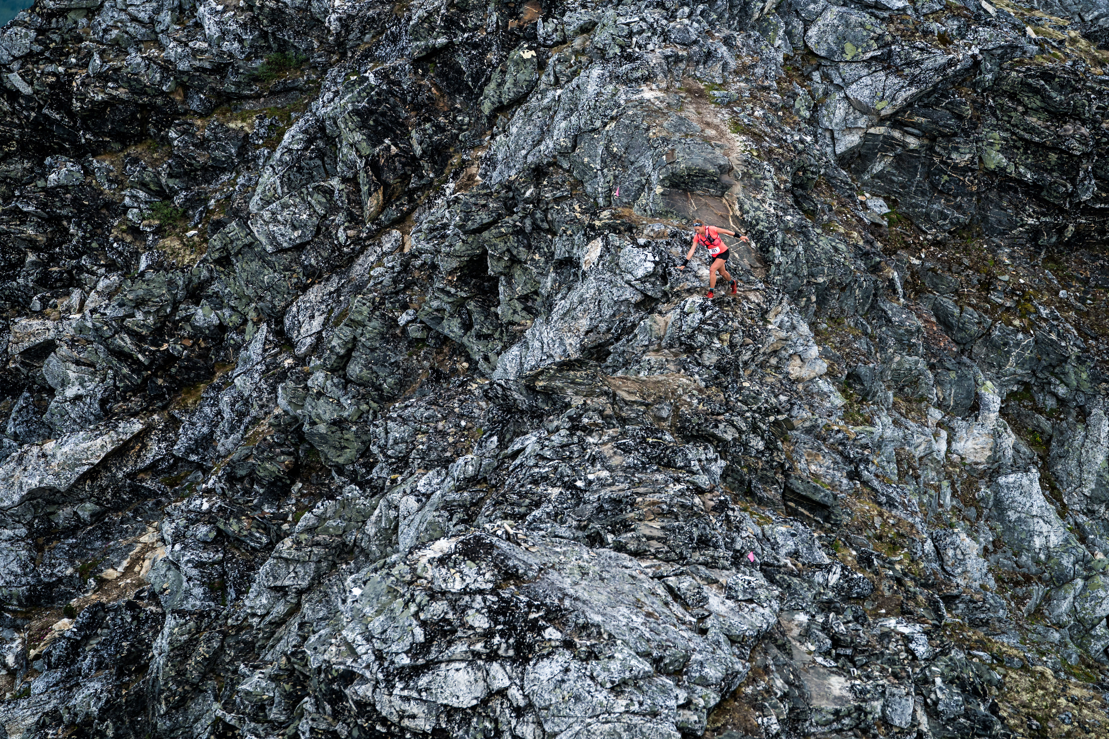
We spend our weekends and holidays and free time seeking wild places. We climb ridges, traverse summits and follow faint trails into remote corners of the world. I photograph the beauty, celebrate the adventure and tell stories of freedom, challenge and discovery. What we rarely discuss is how thin the line can sometimes be between a perfect day in the mountains and a devastating tragedy.
A single misplaced foot, one loose rock, a momentary lapse in concentration – a decision that seems insignificant in the moment but mountain terrain often deals in consequences that far outweigh the mistake.
The uncomfortable reality is that every person who ventures into the mountains understands this, at least on some level. We know that nature is indifferent to our ambitions. We know that gravity never takes a day off. We know that weather can change in an instant and that the terrain beneath our feet is never entirely predictable.
Yet despite this knowledge, we keep going back. Why?
Whenever tragedy strikes, questions inevitably follow. Is trail and mountain running too dangerous? Should we be doing this at all? Are we taking unnecessary risks?
The answer is both simpler and more complicated than many people imagine.
Mountain environments are unquestionably dangerous. That is simply a fact. But trail and mountain running, statistically speaking, are relatively safe activities. Across the world, millions of hours are spent each year on mountain paths and trails. The overwhelming majority of runners return home safely without incident.
The problem is not necessarily the frequency of accidents. It is the severity of their consequences.
There is an important distinction between different types of risk – some mountain pursuits involve deliberate exposure – a runner moving across a narrow alpine ridge understands exactly what is at stake. The risk is visible. The consequence of a mistake is obvious. In many cases, that exposure forms part of the challenge itself. The commitment required is what makes the experience meaningful.
“If death was not a possibility, coming out (of the mountains) would be nothing. It would be kindergarten, but not an adventure and not an art.” – Reinhold Messner
Whether others agree with that reasoning is beside the point. For the person undertaking the challenge, the risk is understood and consciously accepted.
Trail running often occupies a different space. Most runners are not actively seeking danger. We are following a path, climbing a mountain path or traversing terrain that feels entirely manageable. The objective, usually, is movement, not exposure. We are not hanging from ropes or balancing across technical ground. We are running.
And perhaps that is what makes accidents so difficult to process. The risk feels low. Until it isn’t. One innocent mistake can suddenly escalate into something catastrophic.
When examining fatalities in trail and mountain running, several common factors emerge. Extreme weather leading to hypothermia is one. Cardiac arrest is another. Falls leading to blunt-force trauma remain among the most significant. (Reference here)
The first two can often can be mitigated, to a certain extent.
Hypothermia, for example, is frequently linked to preparation and decision-making. There has always been a culture within endurance sports that celebrates moving fast and light. In many situations that philosophy makes perfect sense. But fast and light should never come at the expense of safety. An extra waterproof jacket, an extra down layer will never make for an exciting story. Spare gloves and a beanie rarely feature in social media posts. Carrying emergency equipment may not feel heroic. Yet these small decisions can dramatically reduce risk when conditions deteriorate. Hence the requirement for mandatory equipment when we race.
Similarly, cardiac events remind us that fitness and health are not necessarily the same thing. Someone may be exceptionally fit yet still harbour an underlying condition. Regular health screening, routine medical checks and an honest understanding of our physical health cannot eliminate every risk, but they can reduce some of the unknowns. Just look at Jeff Browning at the recent TDS. Jeff is one of the most experienced, knowledgeable and respected trail and mountain runners – his near death experience should be a warning shot for us all.
Falls are different.
Falls are the one category that can never be entirely controlled. No one plans a fall. No one starts a run expecting to make a fatal mistake. No one leaves home believing they won’t return. A fall occupies that uncomfortable territory where skill, preparation and experience intersect with simple human error.
And human beings will always make mistakes.
And then we have skyrunning – this sport sits in a different category altogether. Born from the meeting point of trail running and alpinism, it deliberately takes athletes onto steep ridge lines, exposed traverses, loose scree and technical terrain where the consequences of a mistake can be far greater than a twisted ankle or lost minutes. The risk is not an unfortunate by-product of the sport, it is woven into its identity, it is its dna. Competitors sign up precisely because it demands more than fitness and endurance; it requires judgement, composure and the ability to move confidently through terrain that feels wild, remote and uncompromising. This is what separates skyrunning from pure mountain running. The challenge extends beyond covering distance or climbing vertical gain. It introduces an element of exposure and consequence that few other running disciplines can replicate, asking athletes to balance speed with self-preservation on terrain where the mountains retain the final say.
Perhaps because of that reality, my own relationship with risk has evolved over the years. Like many people, there was a time when I valued speed, commitment and determination above almost everything else. Pushing through difficult conditions was something to be proud of, turning back or easing off often felt like failure.
Experience has changed that perspective.
The greatest lesson the mountains have taught me is not how to keep going. It is knowing when not to. The mountains will always be there. That simple truth becomes surprisingly powerful with age.
A summit reached today is not inherently more valuable than one reached next month. A route completed in dangerous conditions is not automatically a greater achievement than one postponed. A race finish line is never worth more than the ability to come back and run another day.
Unfortunately, perspective is often shaped by experience. For me, one such experience occurred in Tromsø at the Tromsø Skyrace in 2017.
Hillary Allen, Tromsø Skyrace 2017 – photo moments before she fell.
I was there when Hillary Allen fell.
I witnessed the accident unfold. I climbed down to her, helped support her and remained involved until she was eventually airlifted to safety. Hillary survived. Her recovery became one of the most remarkable stories in mountain running. But witnessing the accident itself left a lasting impression.
What remains with me all these years later is not simply the severity of the fall. It is how ordinary everything appeared beforehand. There was no drama, on the contrary, I was joking and laughing with Hillary. One moment she was racing towards me and the next, everything had changed.
Seeing that reality up close removes any illusion that accidents only happen to other people.
Many mountain runners carry an unspoken belief: it won’t happen to me.
We may never say those words aloud, but the sentiment exists. We acknowledge risk while quietly believing that our experience, fitness or judgement somehow places us beyond it. The mountains have a ruthless way of correcting that assumption.
Experience can reduce risk, but it cannot eliminate it.
So how do we move forward when confronted by losses such as those of Ida and Kalie?
Perhaps the answer lies somewhere between acceptance and responsibility.
We should never romanticise death in the mountains. Every loss is a tragedy. Families lose daughters, sons, partners, friends and loved ones. The pain left behind is immeasurable. But equally, we cannot pretend that a life completely free of risk exists. Every meaningful pursuit carries risk, adventure contains uncertainty and our passions come with vulnerability.
For those of us drawn to mountains, the attraction is not recklessness. It is something much deeper. Mountains provide perspective in a world increasingly dominated by distraction. They challenge us physically and mentally. They expose weaknesses and reveal strengths. They offer moments of fear, humility, joy, wonder and achievement.
In many ways, mountain running allows us to experience the full spectrum of what it means to be alive.
The lows are real.
The highs are extraordinary.
Perhaps that is why we continue to return, not because we fail to understand the risks, but because we do. Life is finite, certainty is an illusion and to live fully, we want to experience everything that exists between birth and death: success and failure, fear and courage, loss and joy.
The challenge is not to eliminate risk. The challenge is to respect it.
As difficult as it may be to admit, perhaps the answer is that we must learn to live with an uncomfortable truth – mountains are places of extraordinary beauty, freedom and possibility, but they are also places where consequences can be severe – risks can be reduced, managed and understood, but they can never be removed entirely.
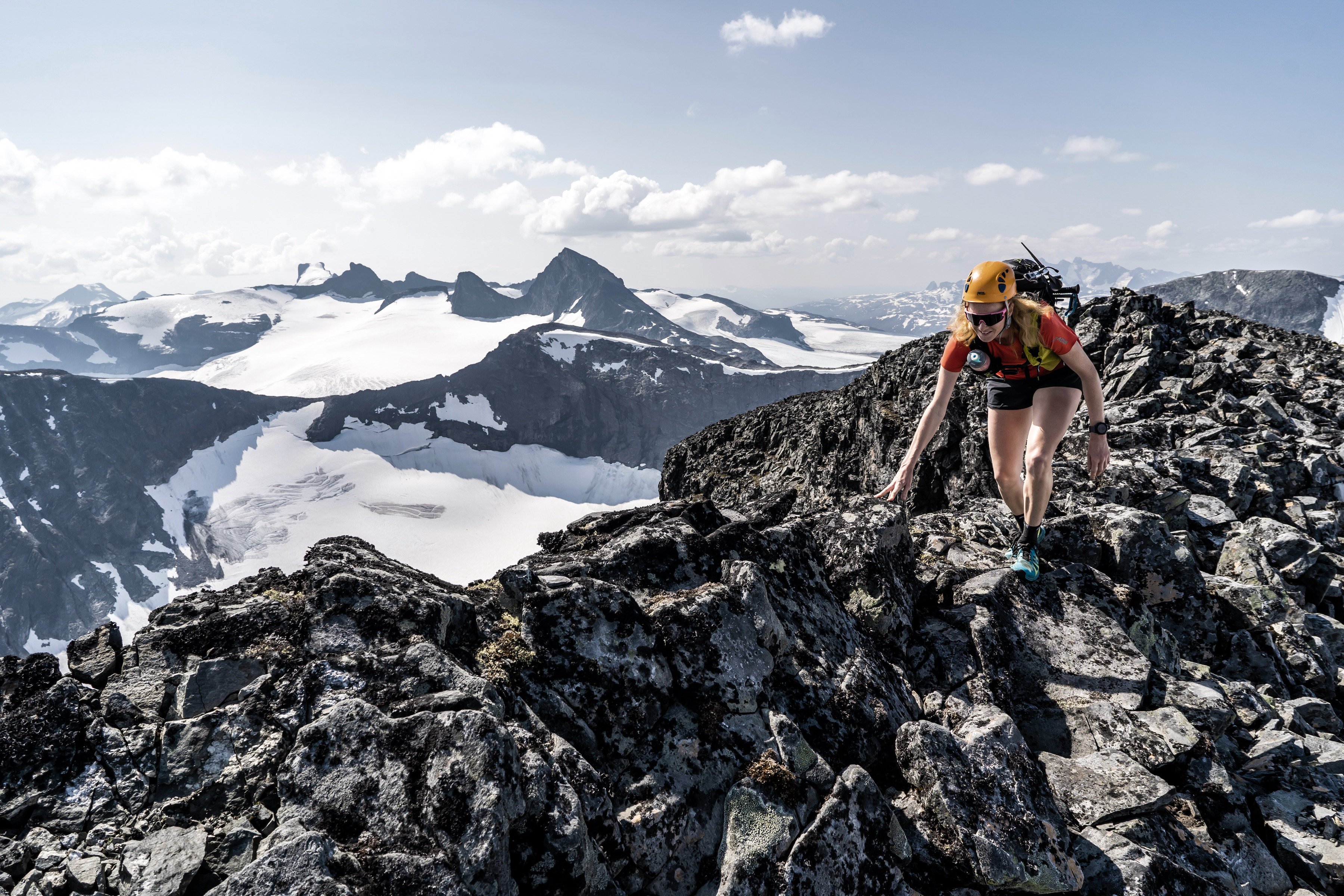
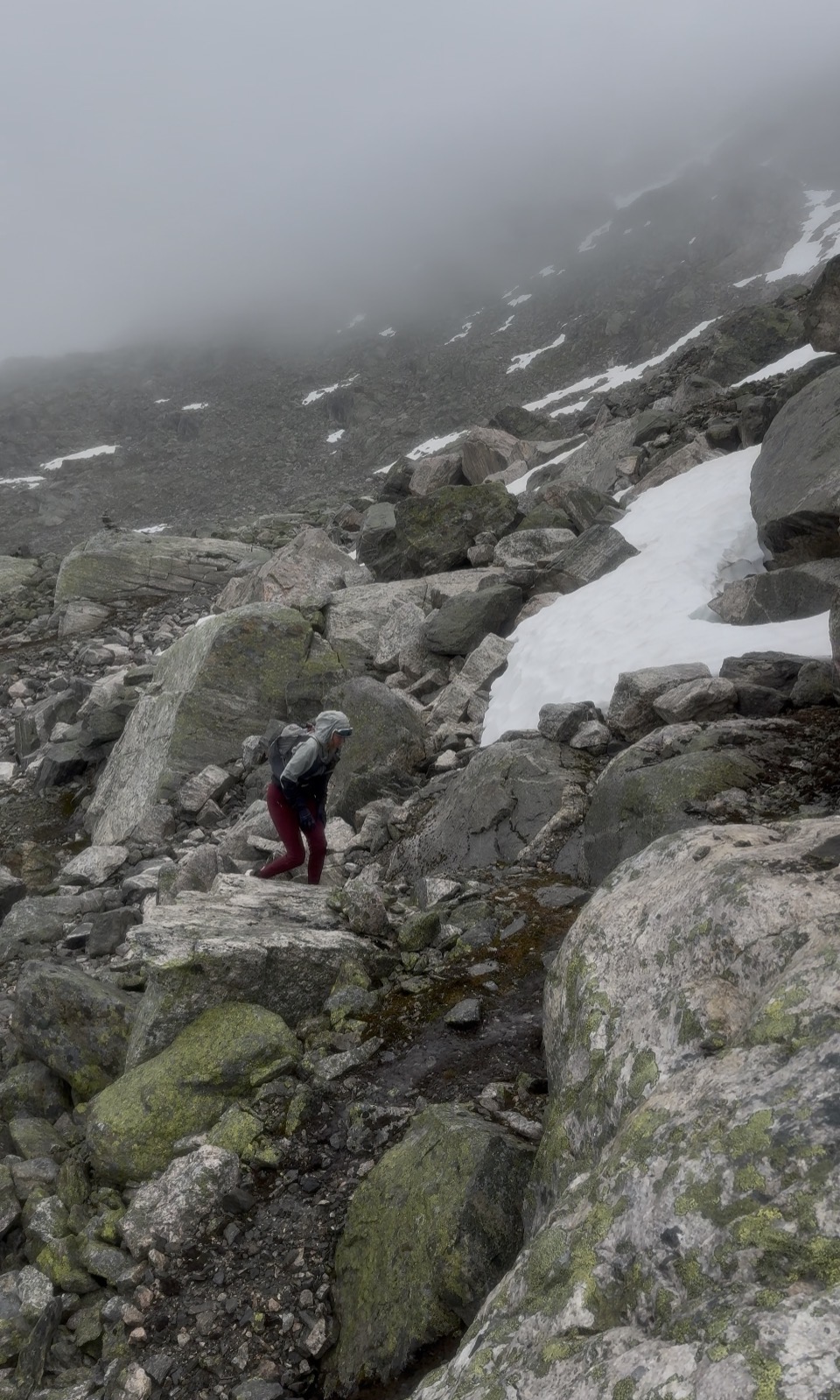
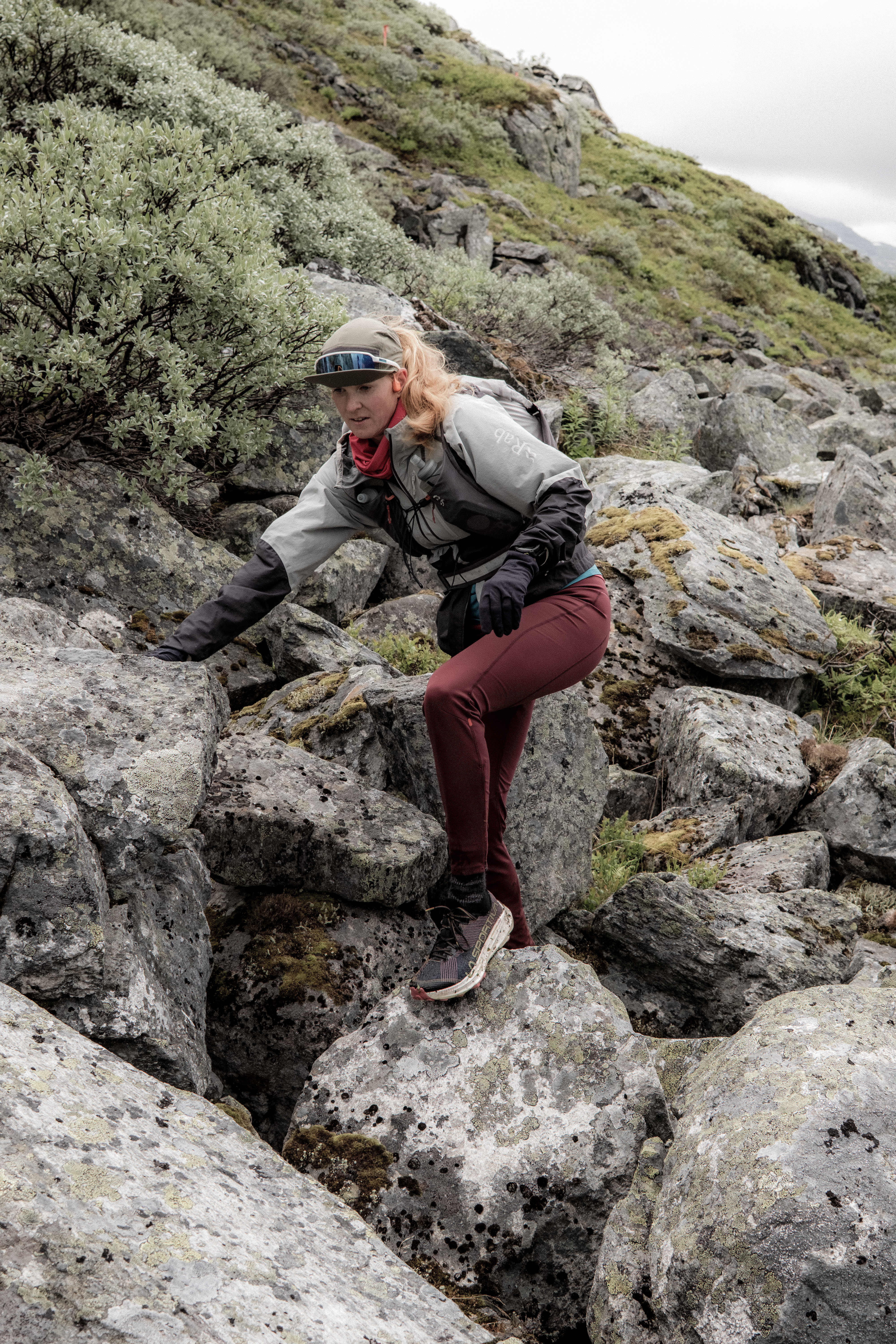
The correct equipment can help mitigate certain scenarios – Jotunheimen, Norway
Experience teaches us that there is wisdom in slowing down when conditions demand it. Wisdom in carrying the extra layer, in choosing safety over speed, in using more equipment rather than less when circumstances require it. Sometimes the strongest decision is to turn around without embarrassment or stop when instinct quietly tells us that today is not the day. Caution is not weakness, retreat is not failure.
Because the mountains do not care about our ambitions, they do not care about our race plans, our summit goals or the expectations we place upon ourselves. Long after we have left, they will still stand exactly where they are today. They will be there tomorrow, next week and next year.
The goal is not to conquer the mountains – they cannot be conquered, they are the boss. The goal is to enjoy a lifetime within them, to return again and again, collecting experiences rather than close calls – memories rather than regrets. To understand that success is not measured by summits reached, ridges traversed or finish lines crossed, but by the opportunity to come back and do it all once more.
Mountains have given many of us some of the most meaningful moments of our lives. They have taught us humility, resilience, perspective and joy. They remind us how precious life is precisely because they reveal how fragile it can be.
And so we continue.
Not because we ignore the risks, but because we acknowledge them.
Not because we believe nothing can happen to us, but because we understand that a meaningful life is not found in avoiding every uncertainty.
__________
And finally, our thoughts, love and deepest sympathy are with everyone affected by these tragedies. To the families, partners, friends and wider communities of Ida and Kalie, and to anyone who has ever lost someone they love in the mountains or elsewhere, there are no words that can lessen such heartbreak. Grief is the price we pay for love, and the depth of that loss reflects the depth of the bond that remains. May you find comfort in the memories shared, strength in those around you and peace in knowing that the lives they touched will continue to be felt for many years to come. We hold you in our hearts.
I am in the 60-69 age category, when did that happen?
My mind rejected the numbers every time someone said it.
You are in the 60-69 age category?
Sixty was someone else. Men in magazines. Men sitting on benches talking about what they used to do. Not me!
Inside, I still have the enthusiasm of a runner. However, my knees, unfortunately, disagree.
Years of running have gradually been negotiated away. First the long races disappeared. Then the hard intervals. Then the weekly mileage declined. The extra kilograms arrived quietly, one at a time, not enough to alarm me, but enough to make every climb a little steeper.
Running has given way to mostly hiking. It wasn’t surrender. At least that’s what I told myself.
I am still out on the mountains, still moving through the forests and across the ridges. I am strong, bloody stubborn Abelone will say, and I can hike for hours. I can still suffer. Importantly, I can still stand on summits that many younger men never reached.
Did I believe there was a plateau ahead. A place where the decline would stop. A place where fitness would maybe even return?
The graph in my mind always flattened out eventually, even if it never quite returned to where it had once been.
Then came Hylja Vertical 600.
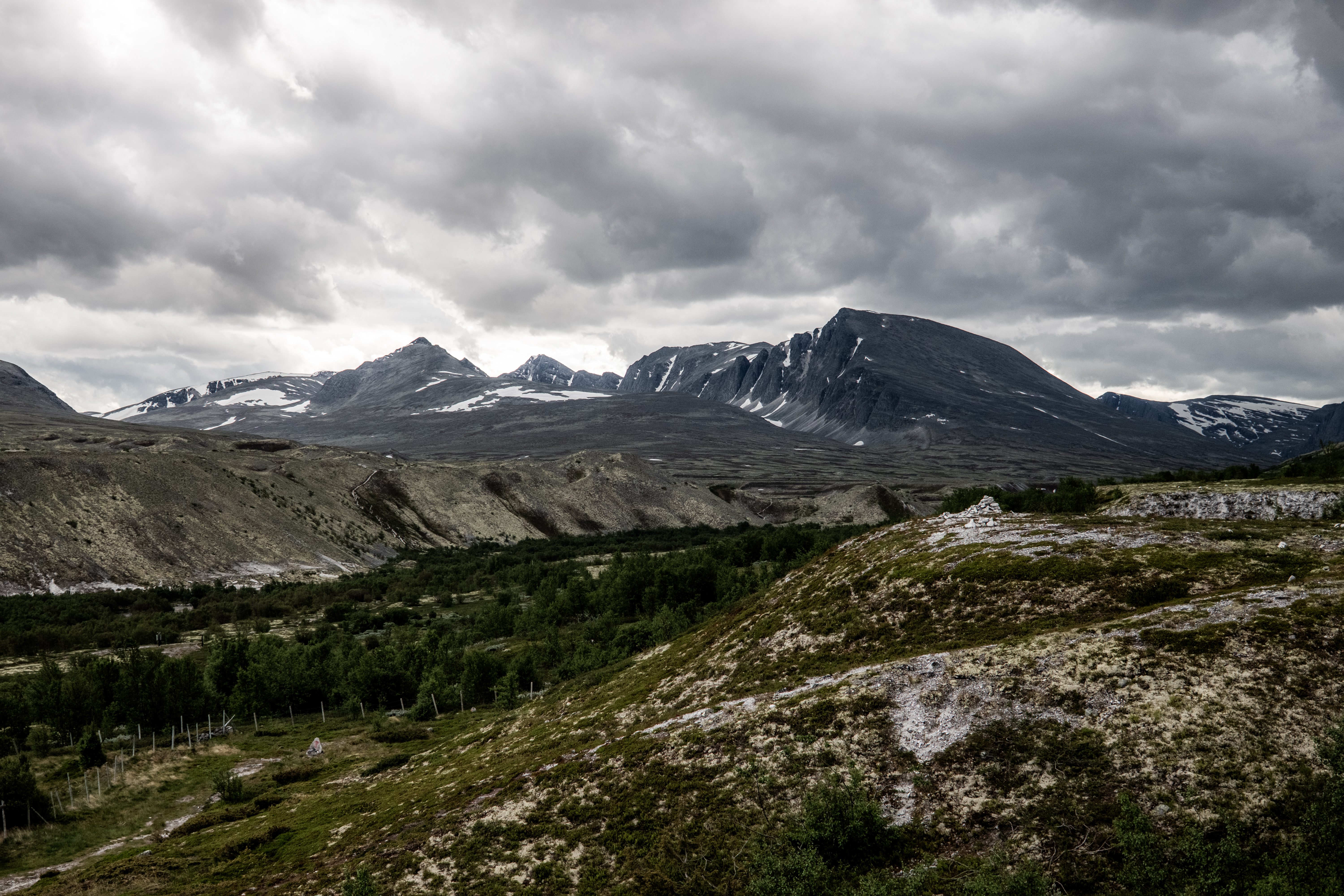
Five km’s with six hundred meters of climbing – on paper, a race perfectly suited for me! No downhill to trash the knees, just up and the possibility to get in the red zone, stay there and push all the way to the line.
Short enough to hurt. Long enough to expose the truth.
And the truth not only came but hurts…
As I climbed, younger runners drifted away from me immediately. Some sailed past. Others simply maintained a pace I could no longer reach or dream of. I wasn’t surprised, I would be a fool to have expected otherwise.
My heart worked harder than I remembered. My lungs were in my mouth. It hurt in a way that was no longer reassuring. My legs answered more slowly than they once had despite my poles facilitating forward momentum. What had once been my strength, now felt like stubborn determination.
There was no humiliation in my run externally. No catastrophe. I finished. But inside, there was a quiet revelation that no matter how much I fool myself with positive thoughts, my good times are gone.
Standing there, breathing heavily and staring back down the mountain, I realized that for years I have been misreading the story of aging.
I had thought of my decline as a temporary descent followed by a shelf of stability. Perhaps even a small rise if I worked hard enough.
But the trails behind me in Hylja told a different story.
There will be good days and bad days ahead. Strong adventures and weaker ones, and yes, a few surprises, perhaps.
But the overall direction will never reverse now. The line will continue downward until the end.
These are not new thoughts, my mind has struggled for the last two years with my decline after an injury while running in Spain. I was aware of the lack of running, the increased pain, the gain in weight, but, I could hide the truth somewhere with an illusion of positive outward display – the Hylja finish line changed that and cemented the decline as a fact on a result sheet.
There is no need to keep mourning the man I have been. The older I get, the better I was.
The runner in my thirties has gone.
The runner in my forties has gone.
Even the runner in my fifties is now slipping into memory.
But the hiker standing on the mountain is still here. Still moving. Still climbing. Still capable of wonder.
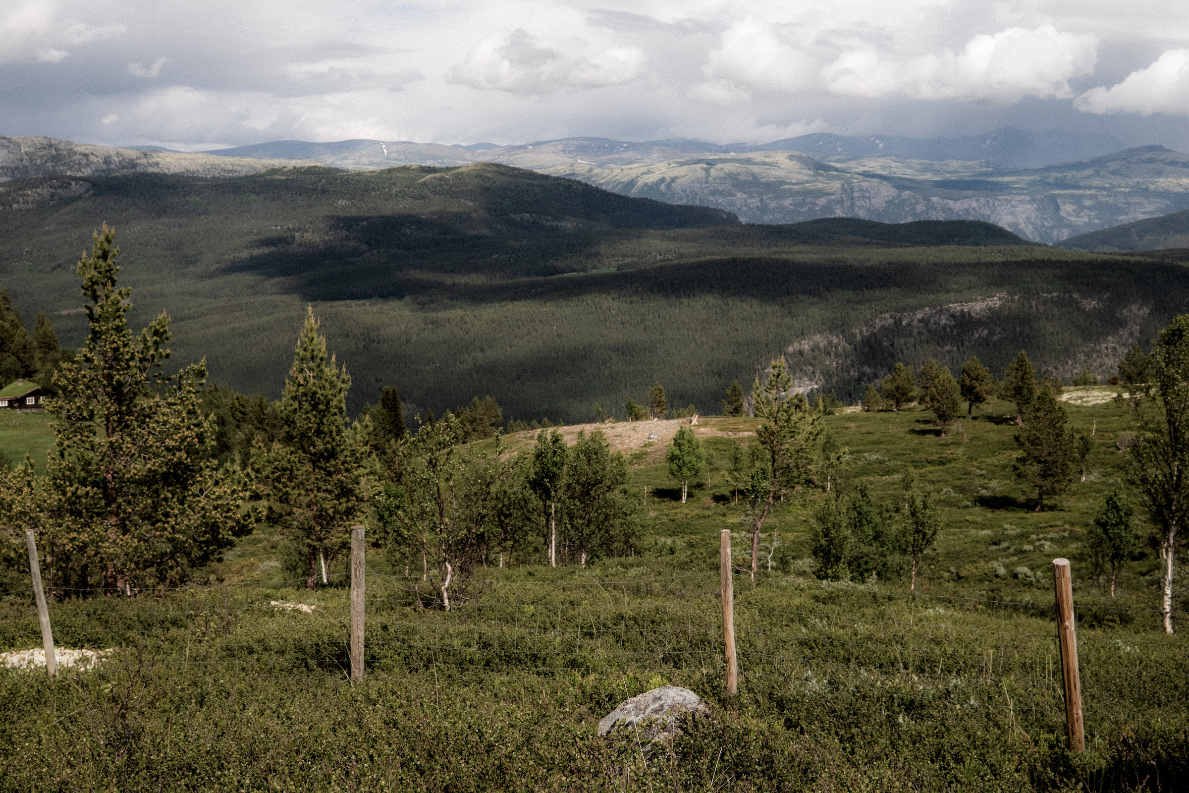
I looked out across the valley from Hylja, the mountains of Rondane in the distance. The same mountains I had fastpacked through with Abelone just a month ago – covering 208km’s in 5-days – the landscape unchanged and indifferent to my age.
For the first time, I understood that life had quietly shifted from becoming to appreciating. When I was young, every run was an investment in a stronger future, a better and faster me.
Now, is every hike an acknowledgement of a diminishing one?
Does that make each step more valuable?
Am I no longer running toward a better version of myself?
I guess, I am simply grateful to still be on the trail. Loving the landscape. Loving the isolation. Loving the adventure. Where time and distance actually means nothing.
I will never outrun aging, and neither will you! The goal is to keep moving long enough to learn how to live and accept it.
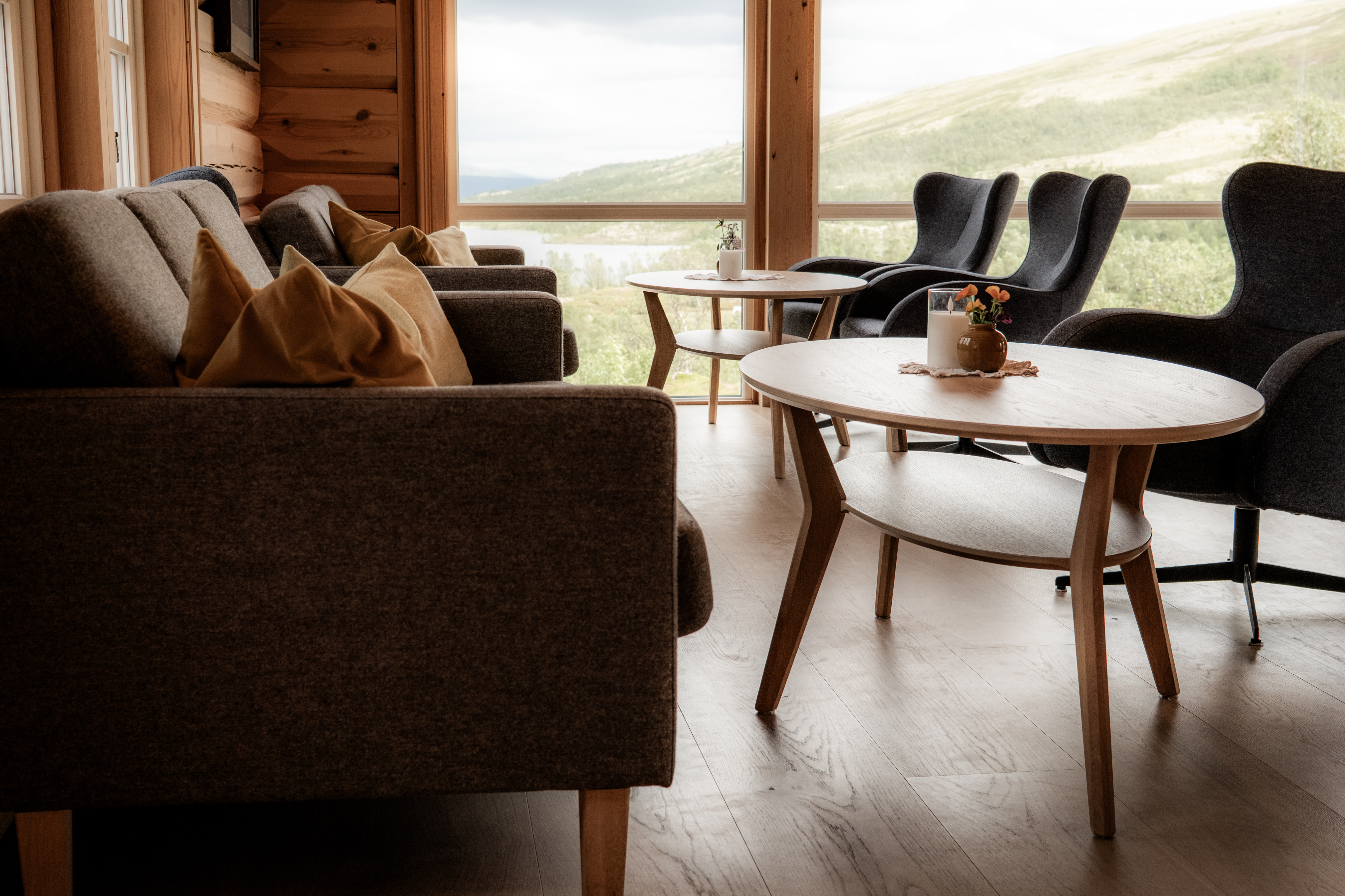
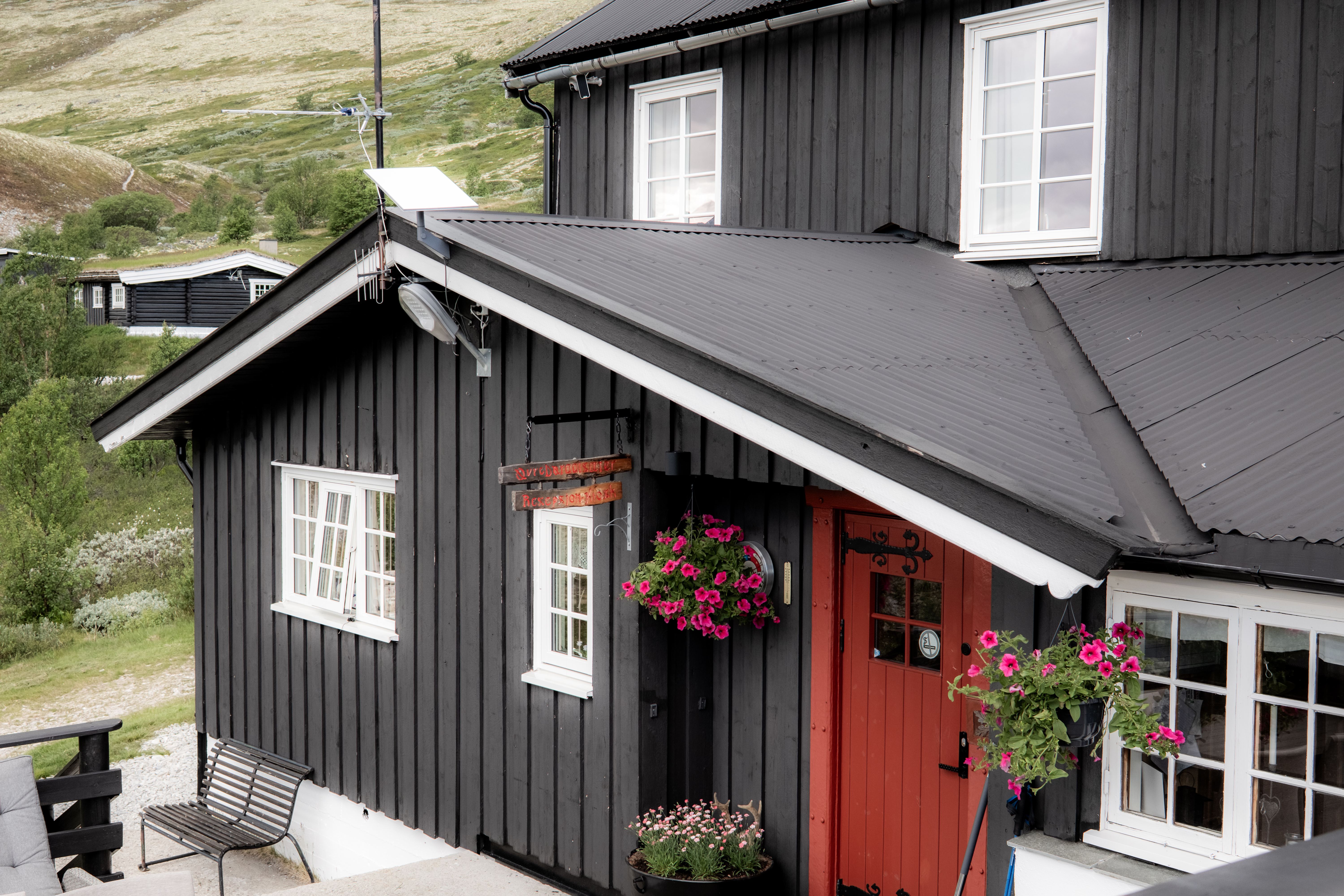
Following our SAGA adventure, a couple of days RnR was welcome in Otta and Lalm – an opportunity to check Hylja Lodge which offered four stunning individual cabins and a new lodge, one year in the making – we were the first guests.
After moving fast and light with minimal clothes and comfort, this was a perfect luxury treat before once again heading back to the mountains.
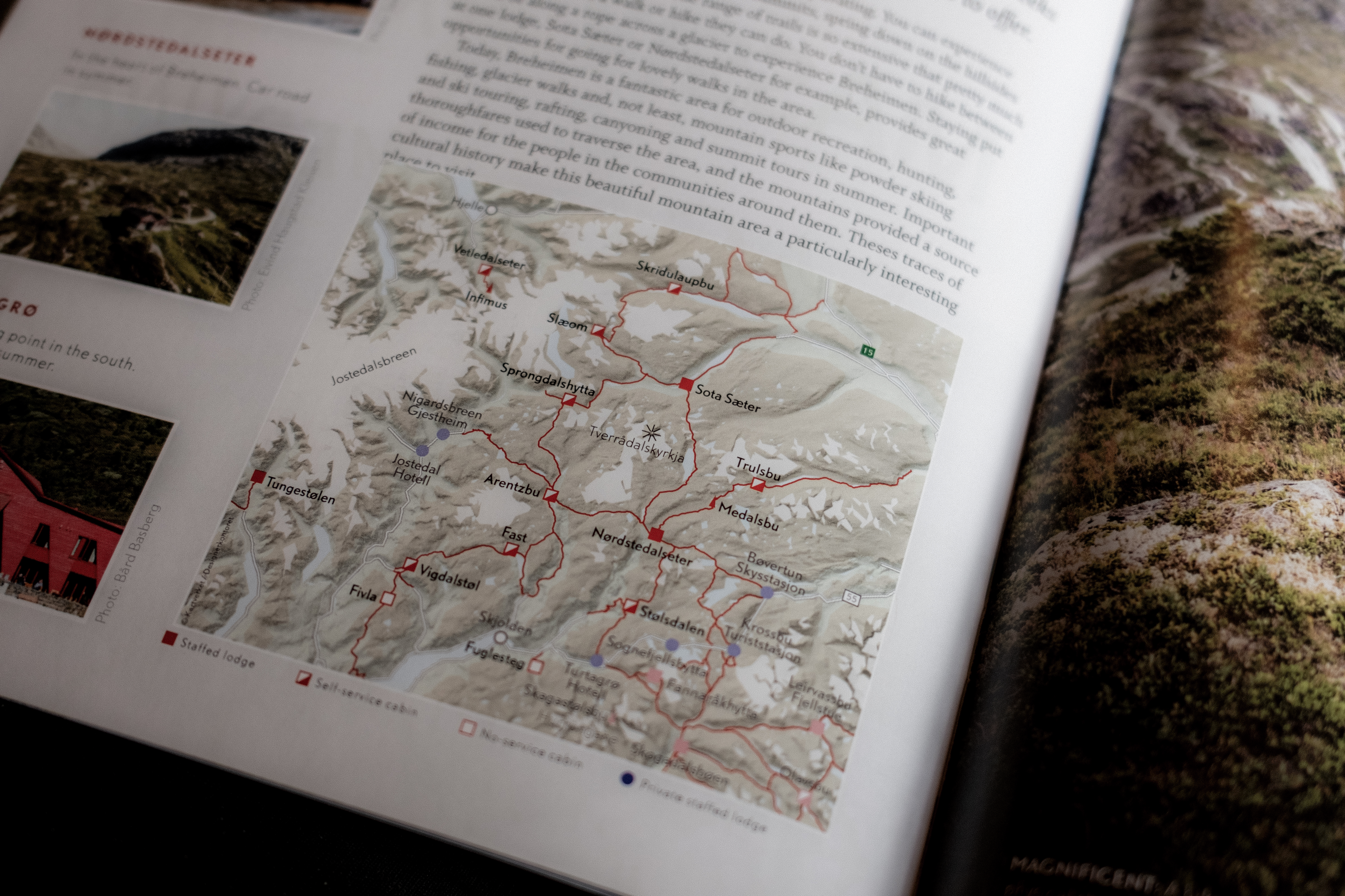
BREHEIMEN
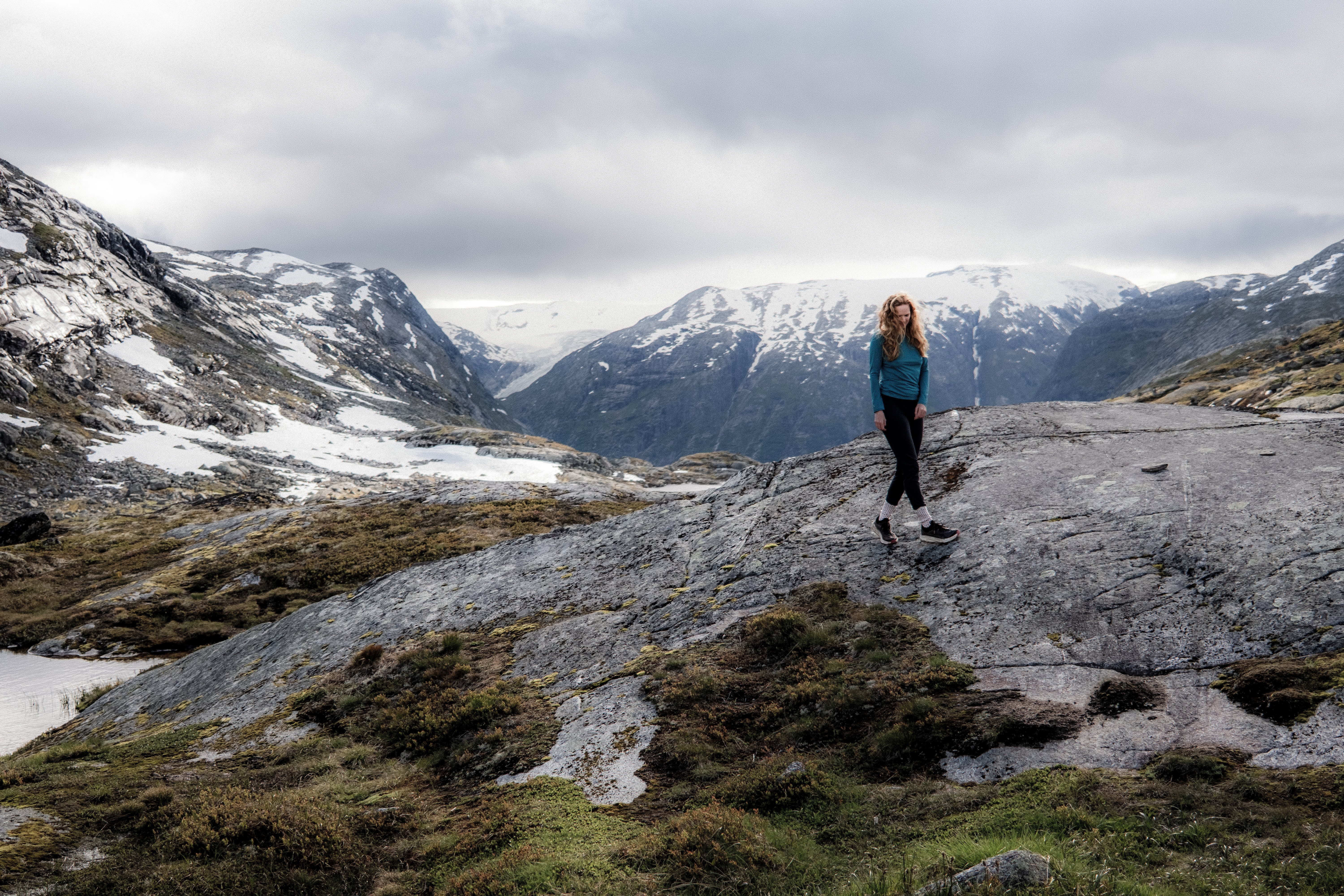
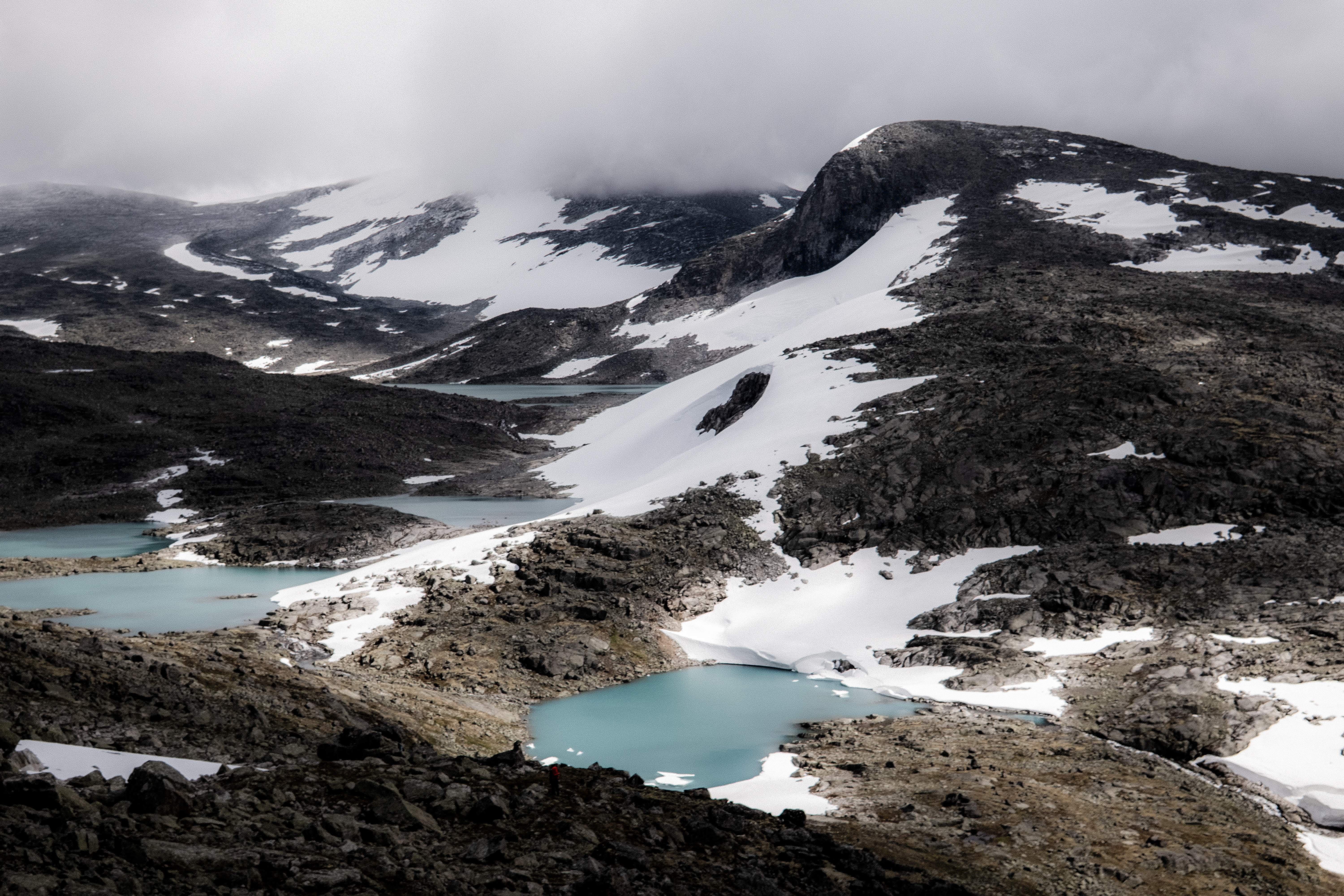
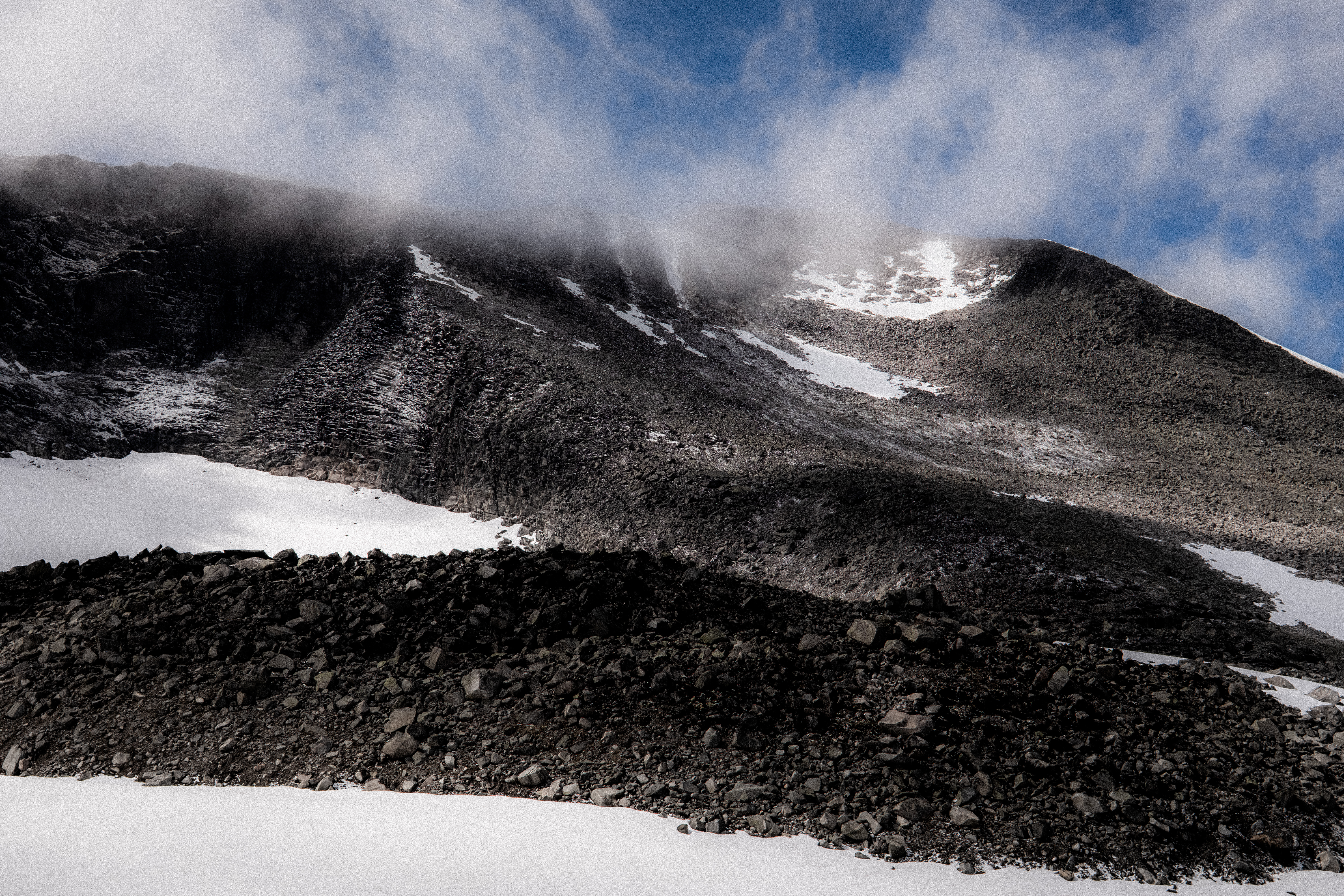
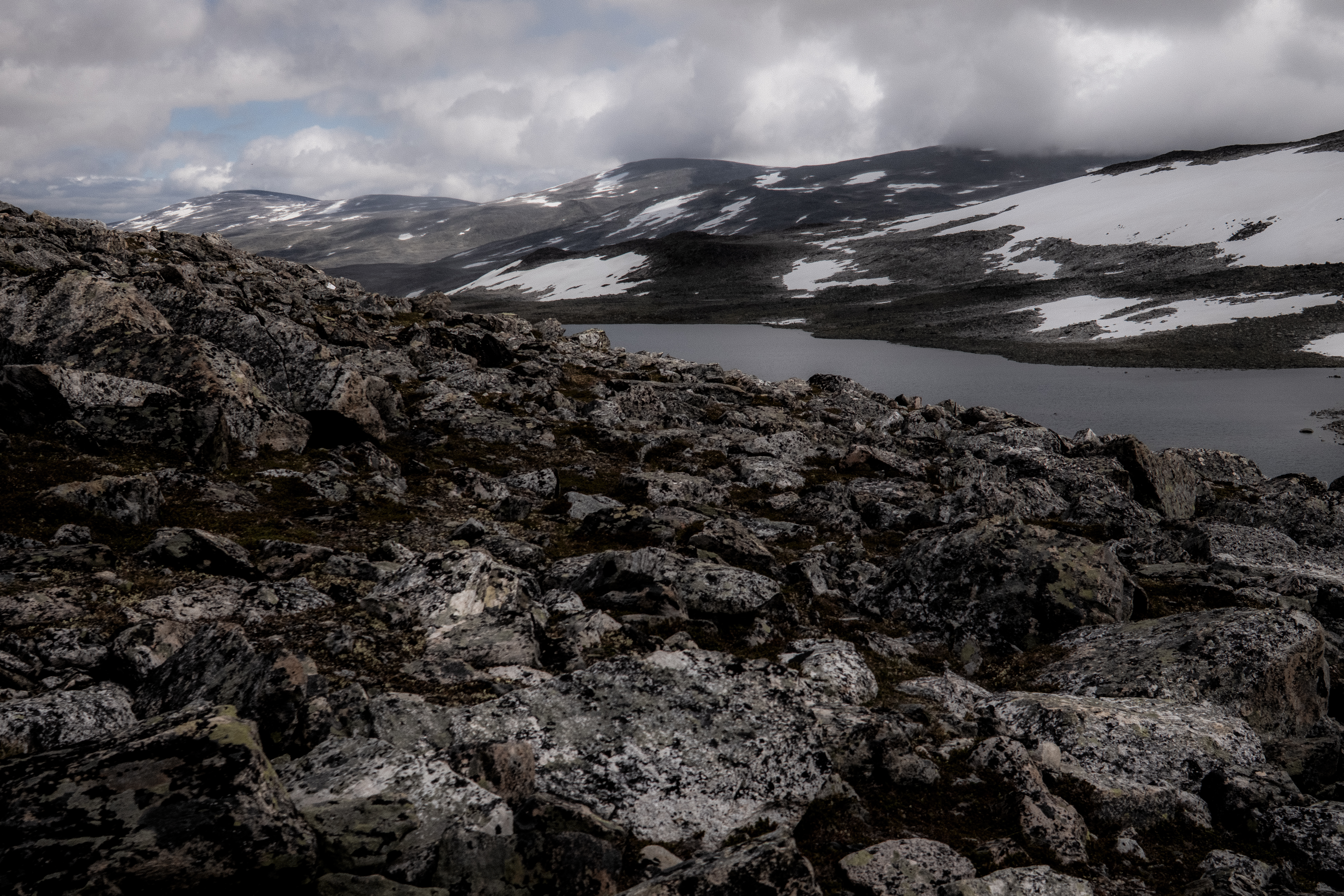
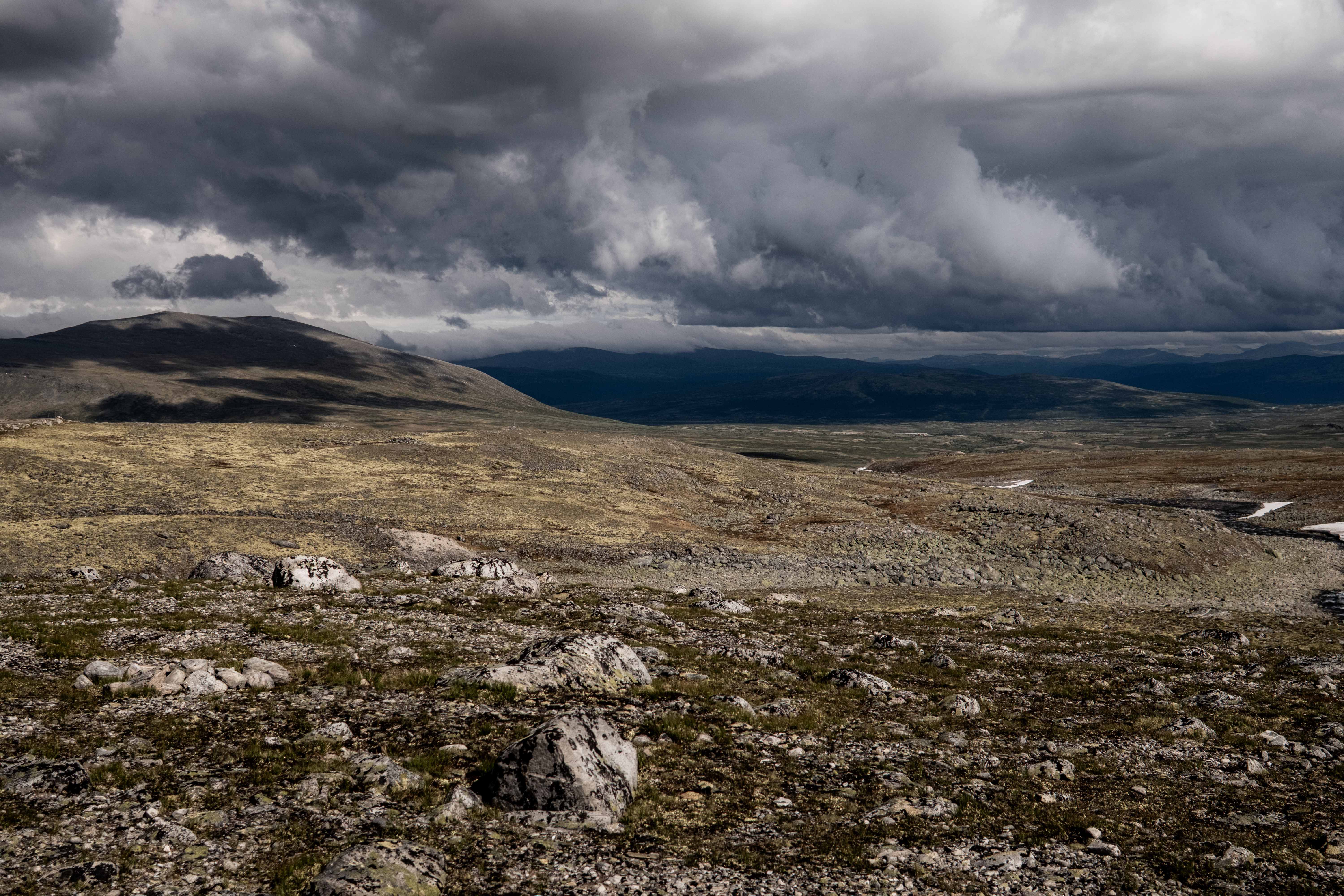
Breheimen is a magical landscape, in contrast to what we experienced on SAGA, this is area is wild, rough, remote and challenging – real mountain terrain.
“The area extends from just above sea level to well over 2,000 meters. The landscape has been formed by glaciers, landslides and other geological processes that have taken place over hundreds of thousands of years. Today, everything from lush valley grazing areas to rugged high mountains and glaciers are found in Breheimen, which is one of our most diverse national parks.”
In 2025, Abelone started her MASSIV journey here – Sota Sæter cabin being the official start or end point. I joined her on that first day heading to Nørdstedalseter – a day that was embedded deeply in my memory bank – it was magical weather and magical terrain and what a pleasure to share that with Abelone who was starting an epic 350km journey that takes most around 21-days, she would eventually complete in 10-days.
So, our return to Breheimen and Sota Sæter had special meaning.
THE PLAN
Just like SAGA, we’d be moving fast and light, ‘fastpacking’ with exactly the same items. However, with just 4-days, we would take in a circular route, starting and concluding at Sota Sæter.
Our route, in principle was simple. Arrival Sota Sæter and stay the night.
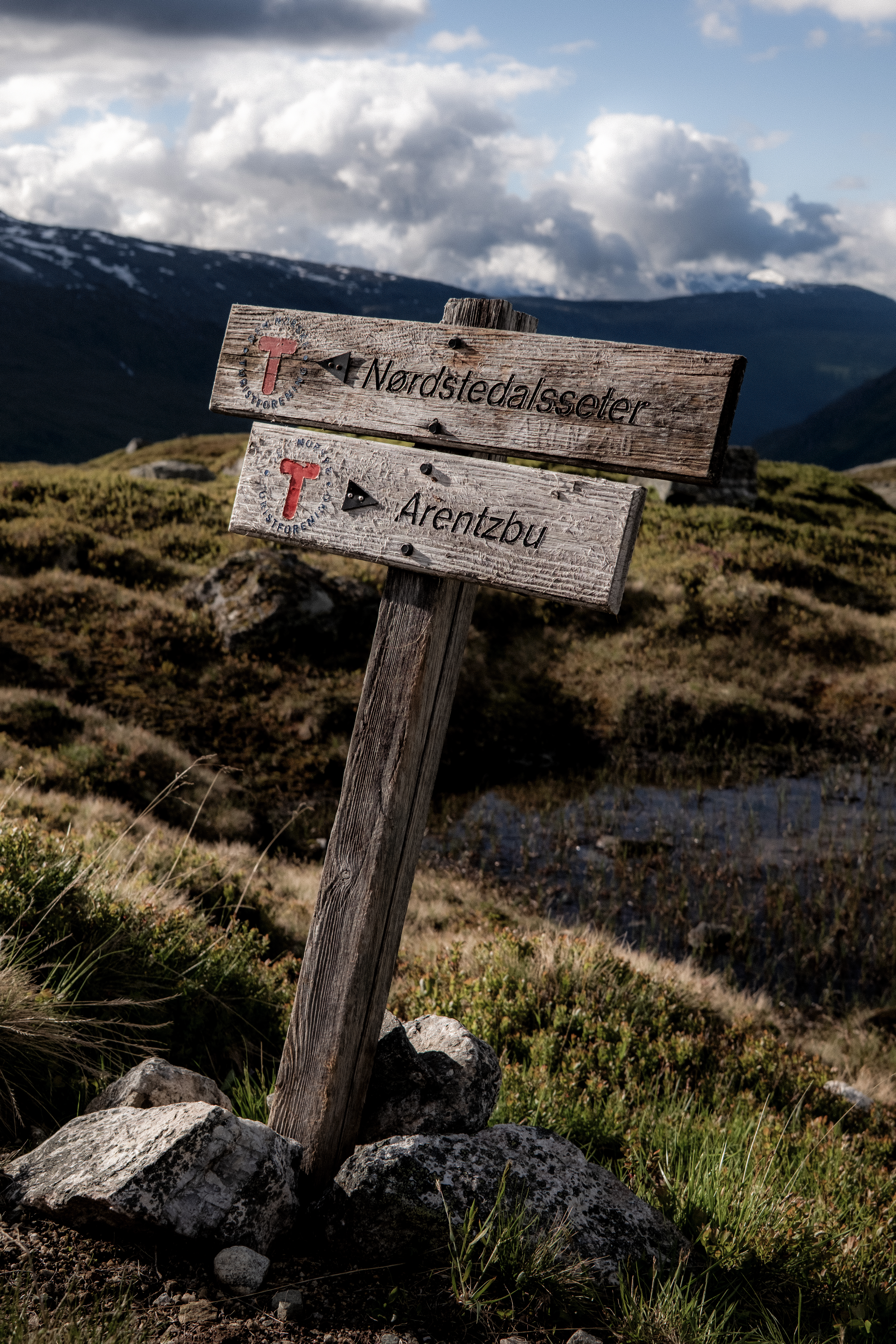
Day 1 was open to being a single stage or double stage, our original plan was to finish at DNT Arentzbu passing via DNT Sprongdalshytta.
Day 2 would be then to go to DNT Nørdstedalseter and stay 2-nights with some out-and-back adventure on day 3.
Day 4 Nørdstedalseter and return to Sota Sæter.
FUNNEST KNOWN TIME
Once again, our priority was a Funnest Known Time and whereas with SAGA we had very specific motivations, our 4-day Breheimen trip was very relaxed. The estimated total distance over the 4-days was +/- 80km’s but with plenty of vertical and challenging terrain.
THE JOURNEY
Day 1 – 18.88km 916m+ 3h 52m
Sota Sæter is a great cabin, it has road access but is very isolated. A relaxed night, some great cabin food, a good sleep and hearty breakfast and we were ready for day 1.
The early km’s were very easy and unlike SAGA, the plan was to do this journey together. The terrain here is considerably more technical and challenging and therefore, the pure running sections are greatly reduced making fast hiking a default pace.
The first 5km flew by and then we started the challenging terrain.
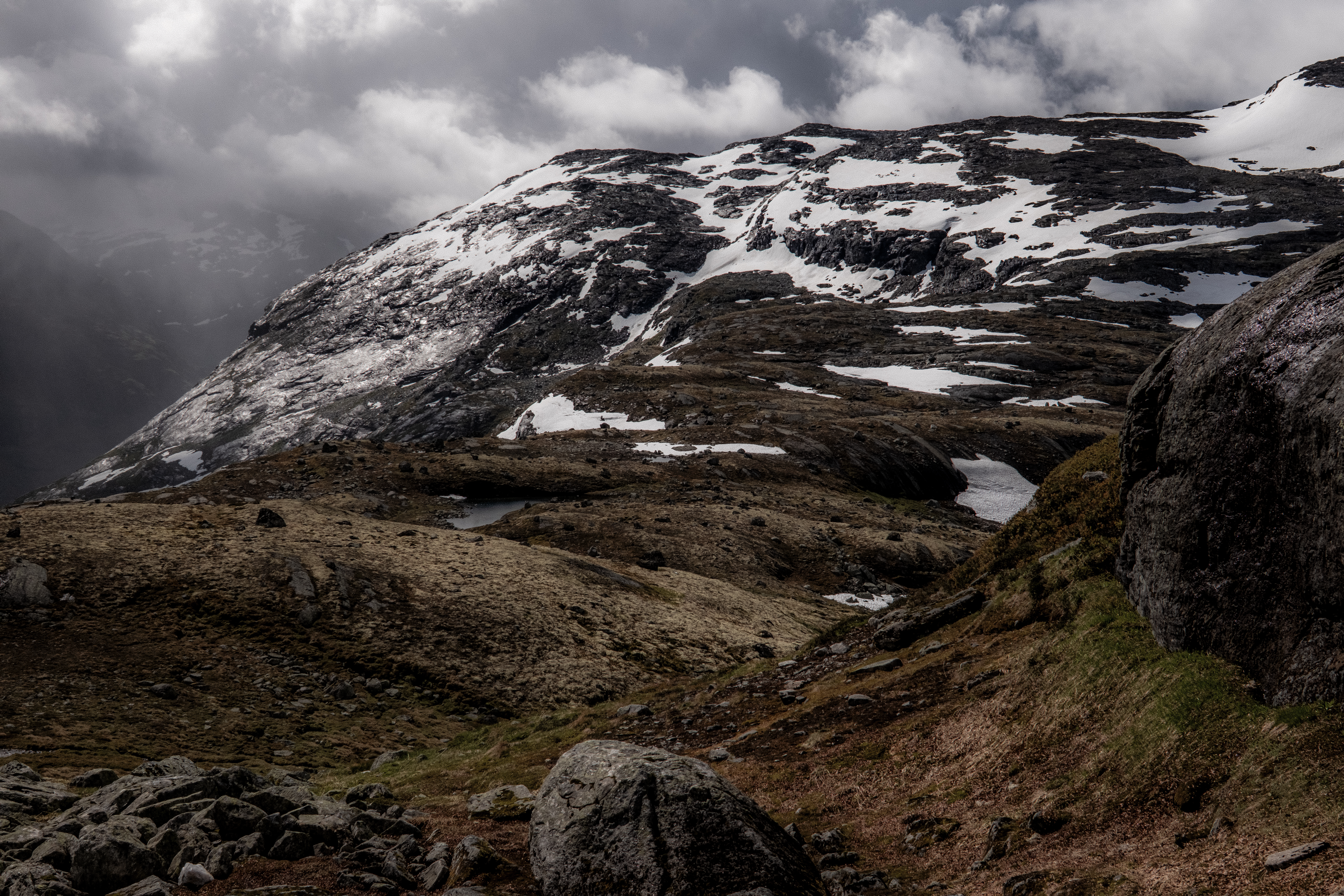
This landscape has been created by the ice age and as you move through the trails, up high, glaciers surround you. It’s magical.
The pace slowed and the ground was sodden – feet were permanently wet and in mud. Abelone makes me laugh, she tries to avoid it (a useless task) whereas I accept the fate and just go straight in.
iPhone photo
After 10km’s or so, we passed Surtbyttvatnet lake and above towered Syrtbyttnosi peak at 1700m.
Now we were in the mountain terrain we expected and wanted. Pace is slow, one has to accept that in these scenarios it’s best just to switch off and any wish to move quicker needs to be put aside – accept that the challenge is navigating the rocks, boulders and water crossings.
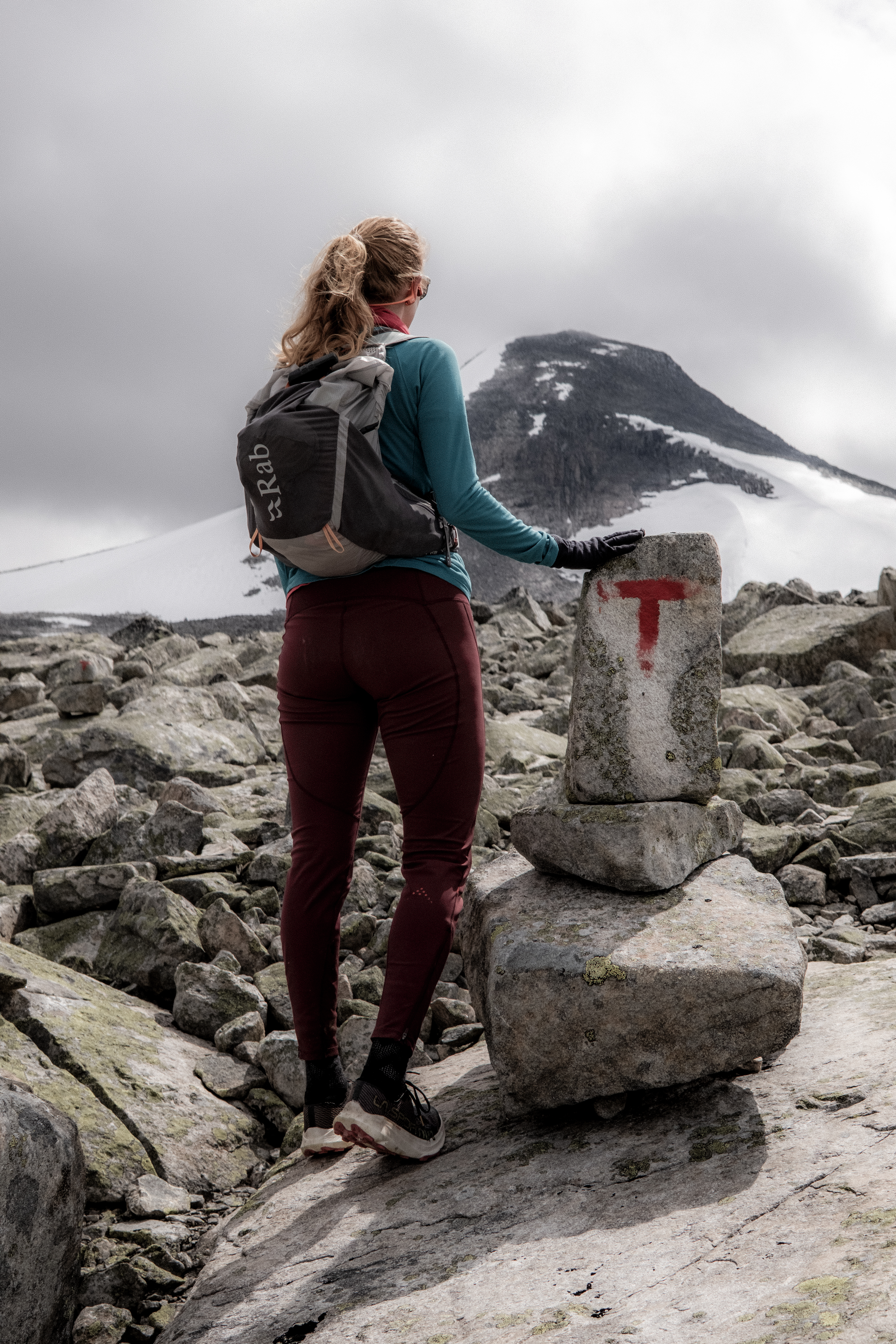
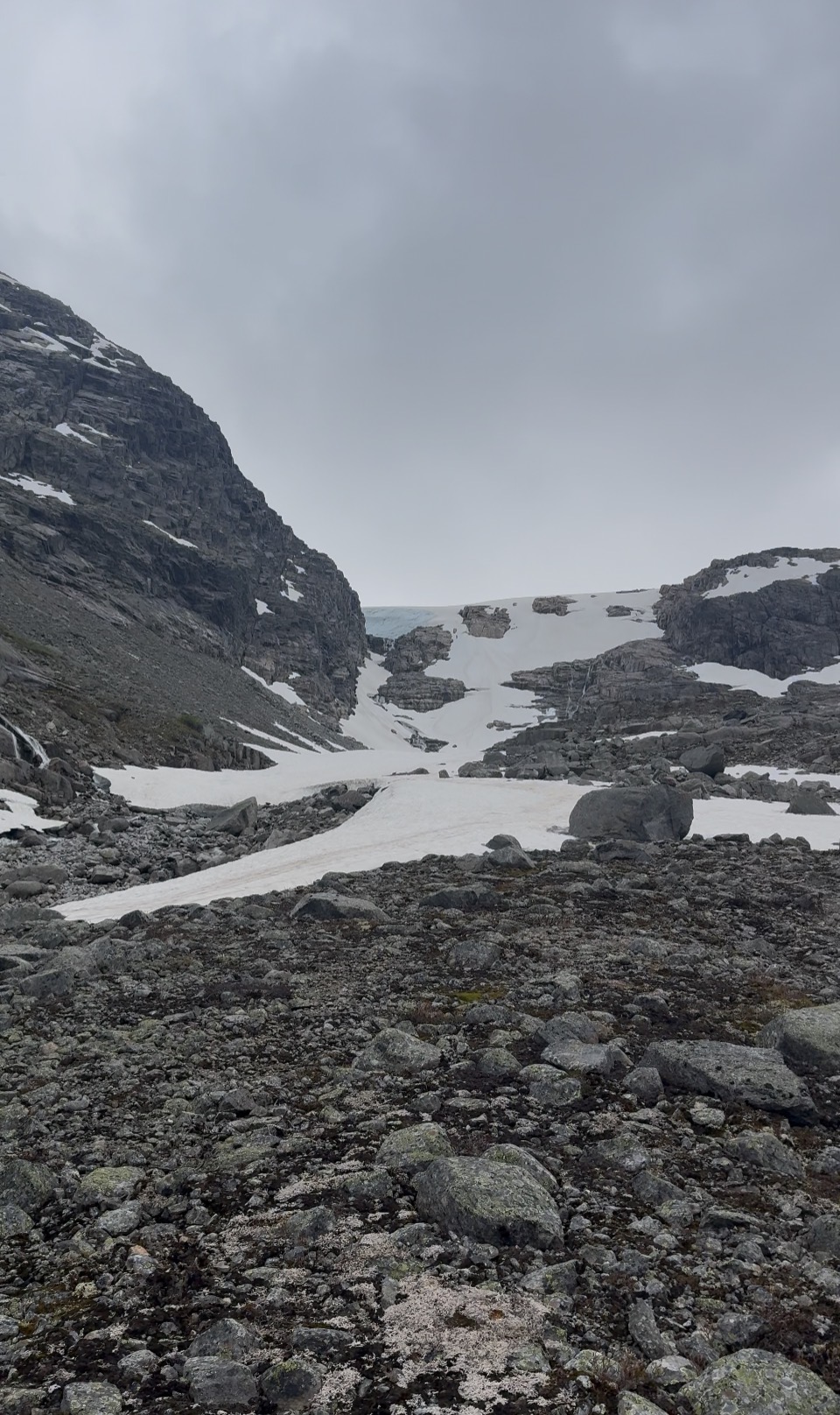
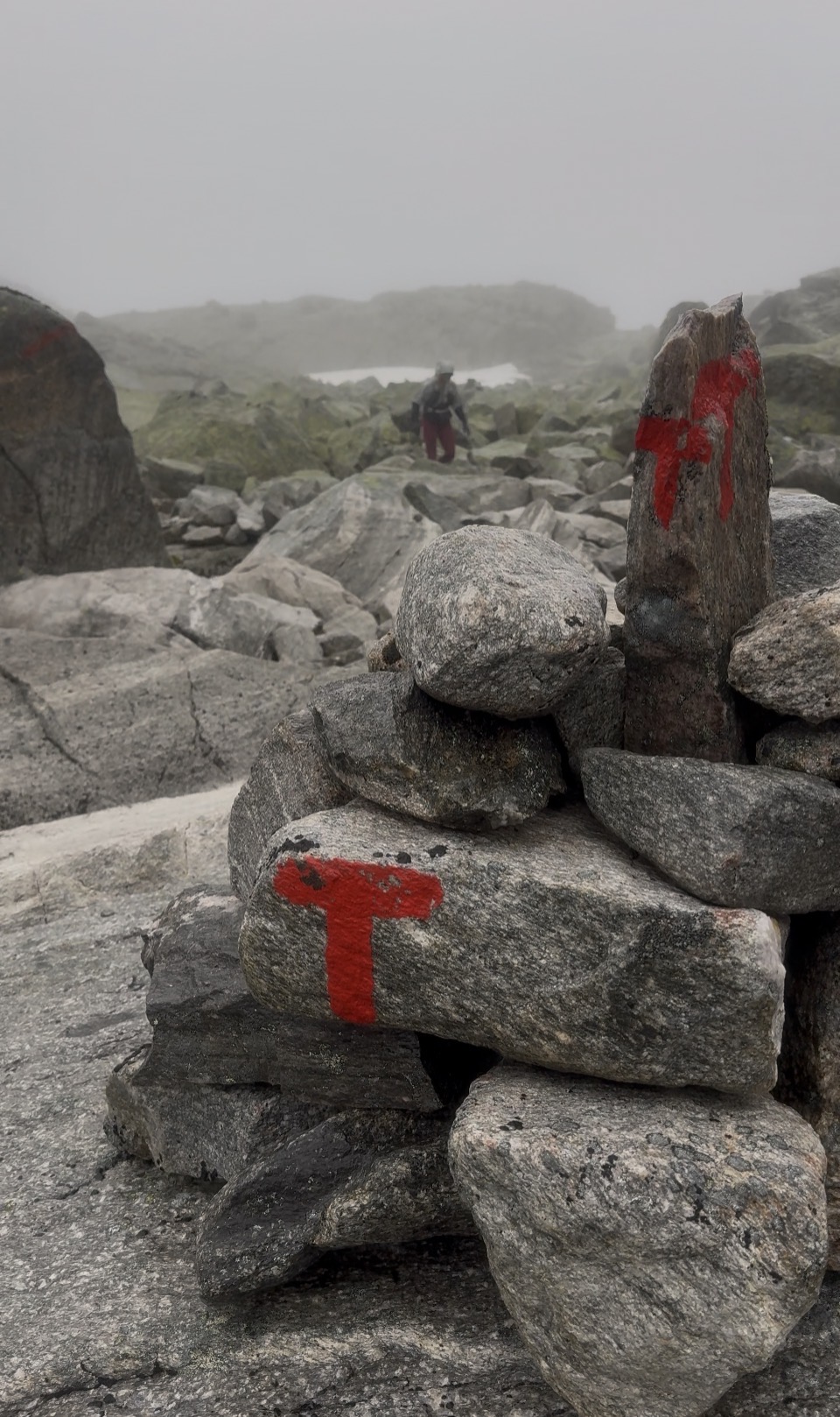
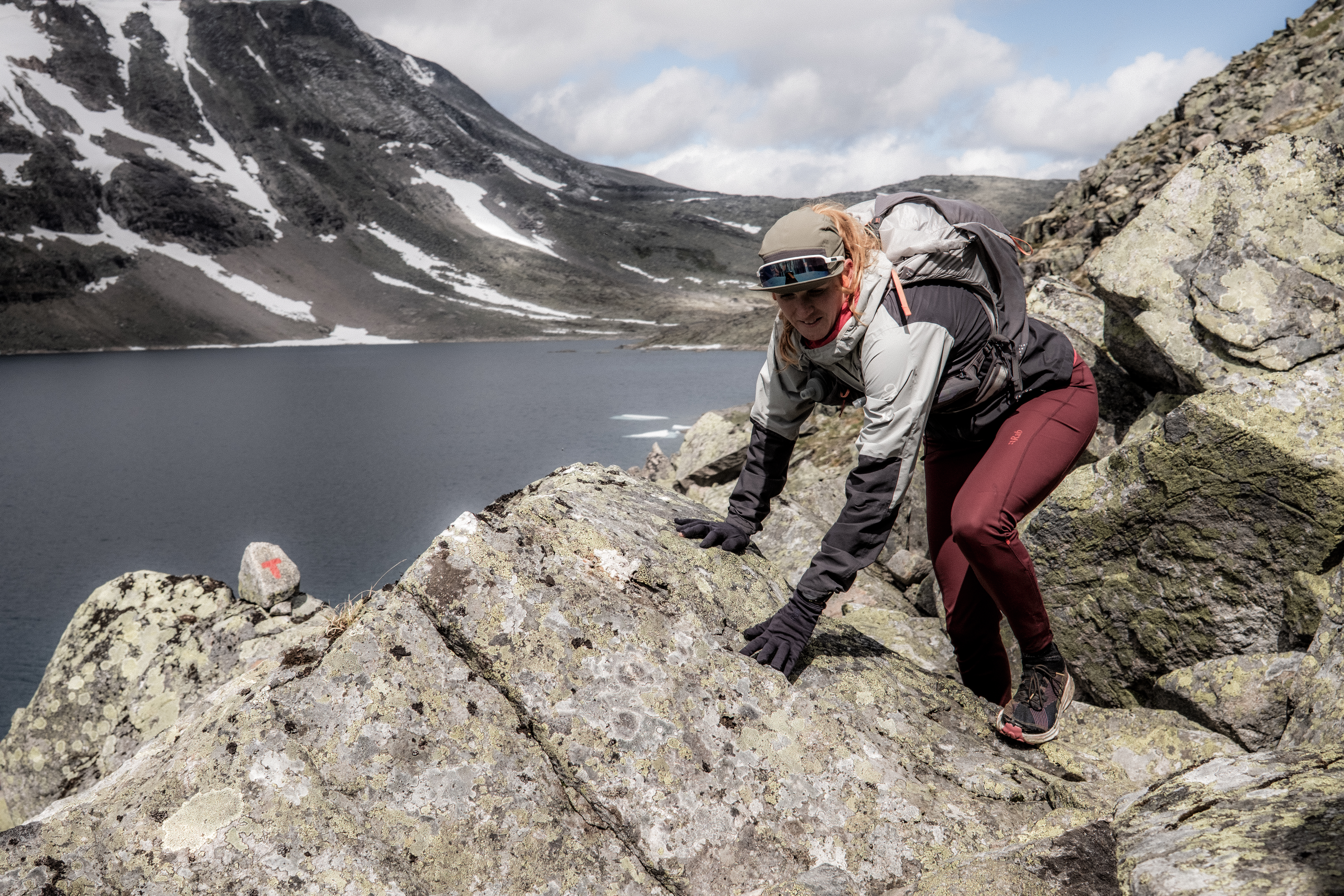
After 14km’s you start to climb up alongside Sprangdalen and the red ‘T’s which signify the route, while clearly visible, in many ways did not make sense. I had a GPX route and as always, I never look at where the next T is but maybe where the 4th, 5th or 6th is.
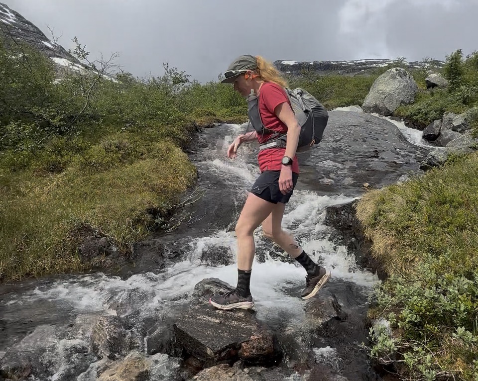
Sprangdøla river was in flow from snow melt and the T’s wanted us to cross, but much higher up I could see the Ts were back on the other side – I moved in a straight line refusing to cross the fast-flowing water.
iPhone photo
‘The Ts are there for a reason!’ shouted Abelone and off she went crossing the fast-flowing water. I pushed on climbing on the right, Abelone pushed on climbing on the left. I then stopped at a beautiful red T and Abelone was stuck on the other side, water raging and it was impossible to cross – I managed to resist, ‘I told you so…’
There was colourful language, backtracking by Abelone and then hilariously she couldn’t find the place where she had crossed – the sight of her kicking boulders in anger will stick with me for some time. Finally, across the water, she made her way back to me, her head was shaking with confusion, anger and frustration and then it happened – she slowly raised her middle finger and pointed at me with a smile. Maybe my nav error on day 4 of the SAGA wasn’t too bad after all!
In all honesty, I was not having a great day – I loved the terrain, the challenge and the mountains – but I was flat. The estimated distance to Sprongdalshytta was around 18km’s and 1000m+ and the prospect of following on to Arentzbu, another 17km’s was not something I relished.
‘How are you feeling?’ Abelone asked and I honestly replied, ‘I am good but today feel flat.’
‘We can stop at Sprongdalshytta if you like, we have time, we are on holiday…’
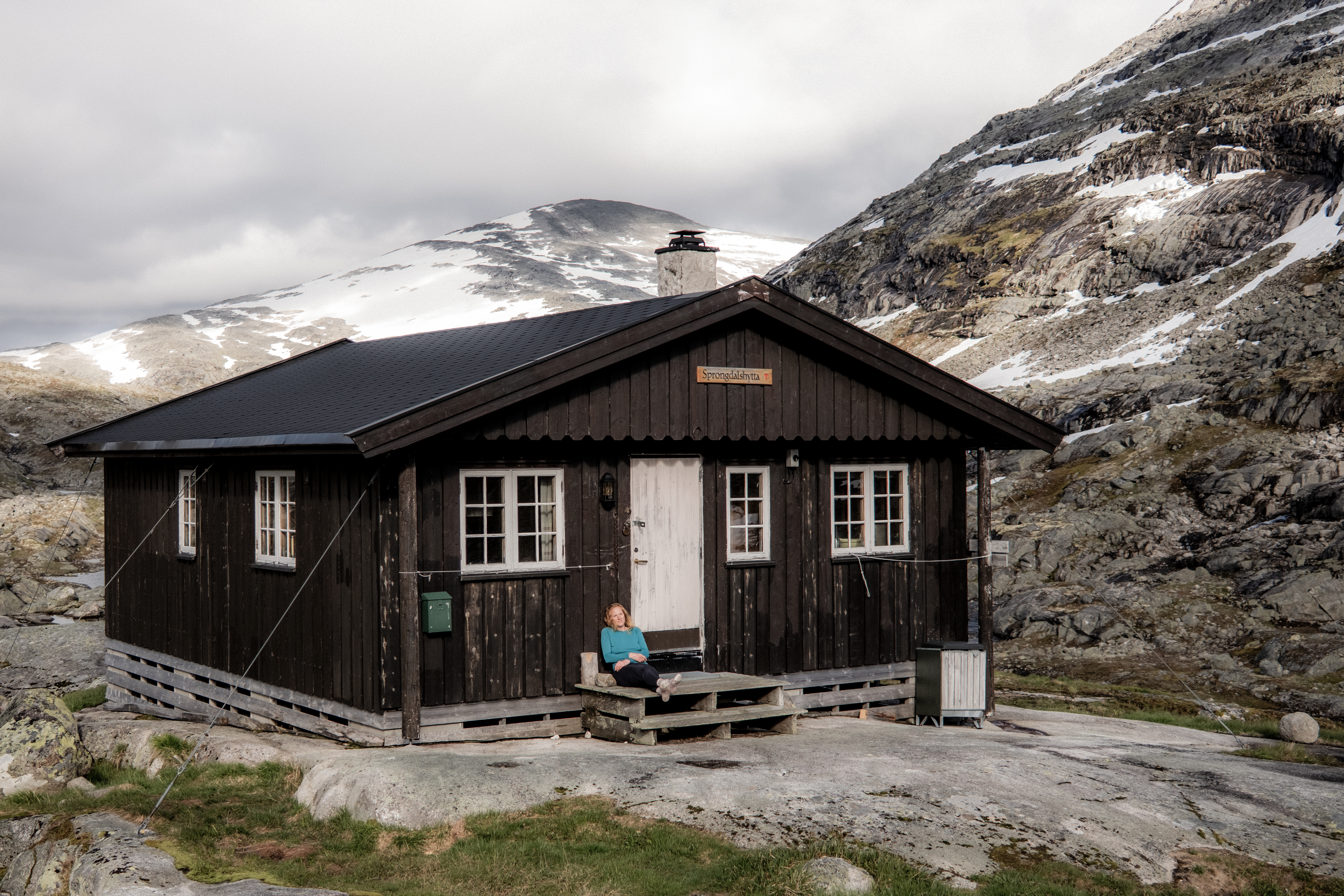
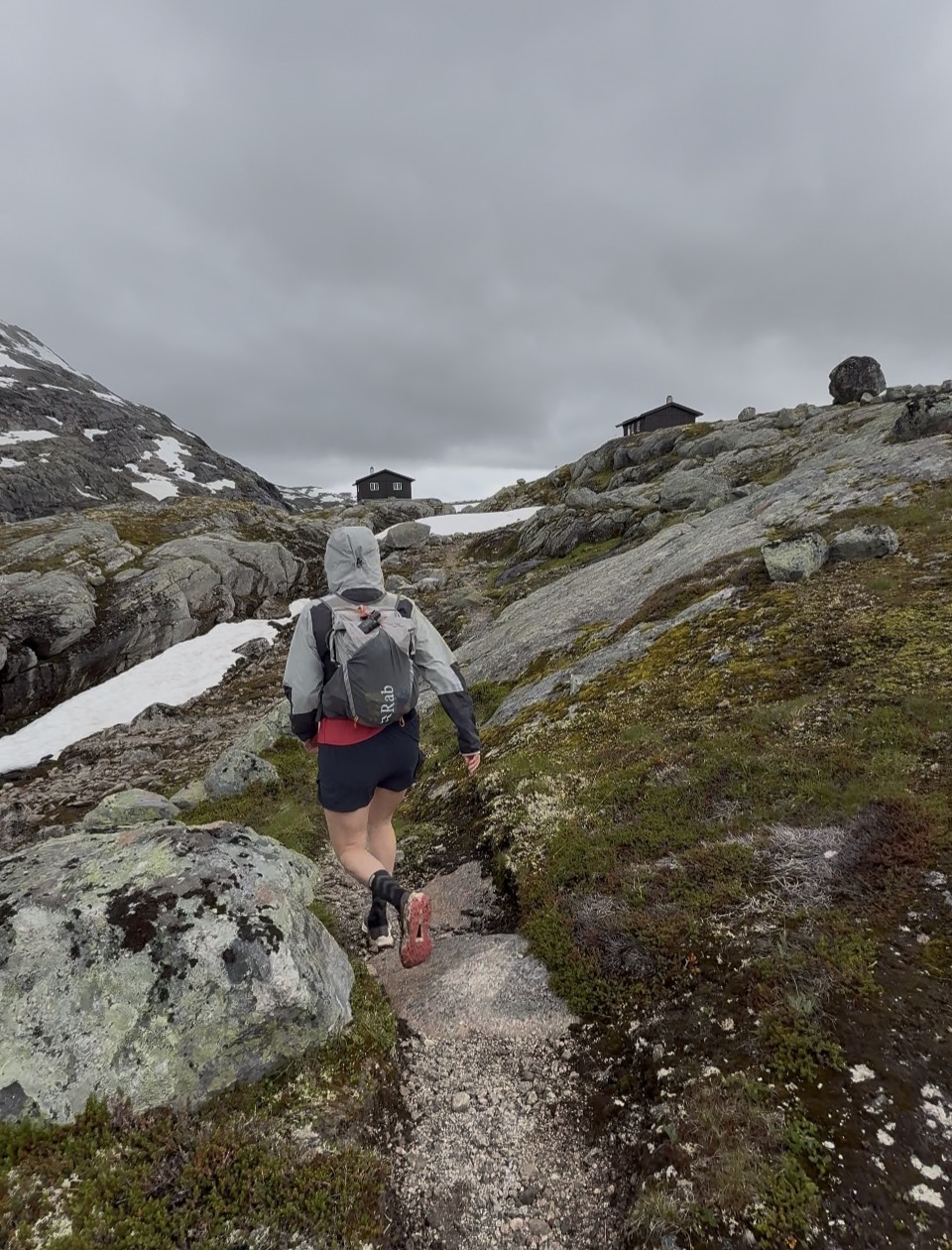
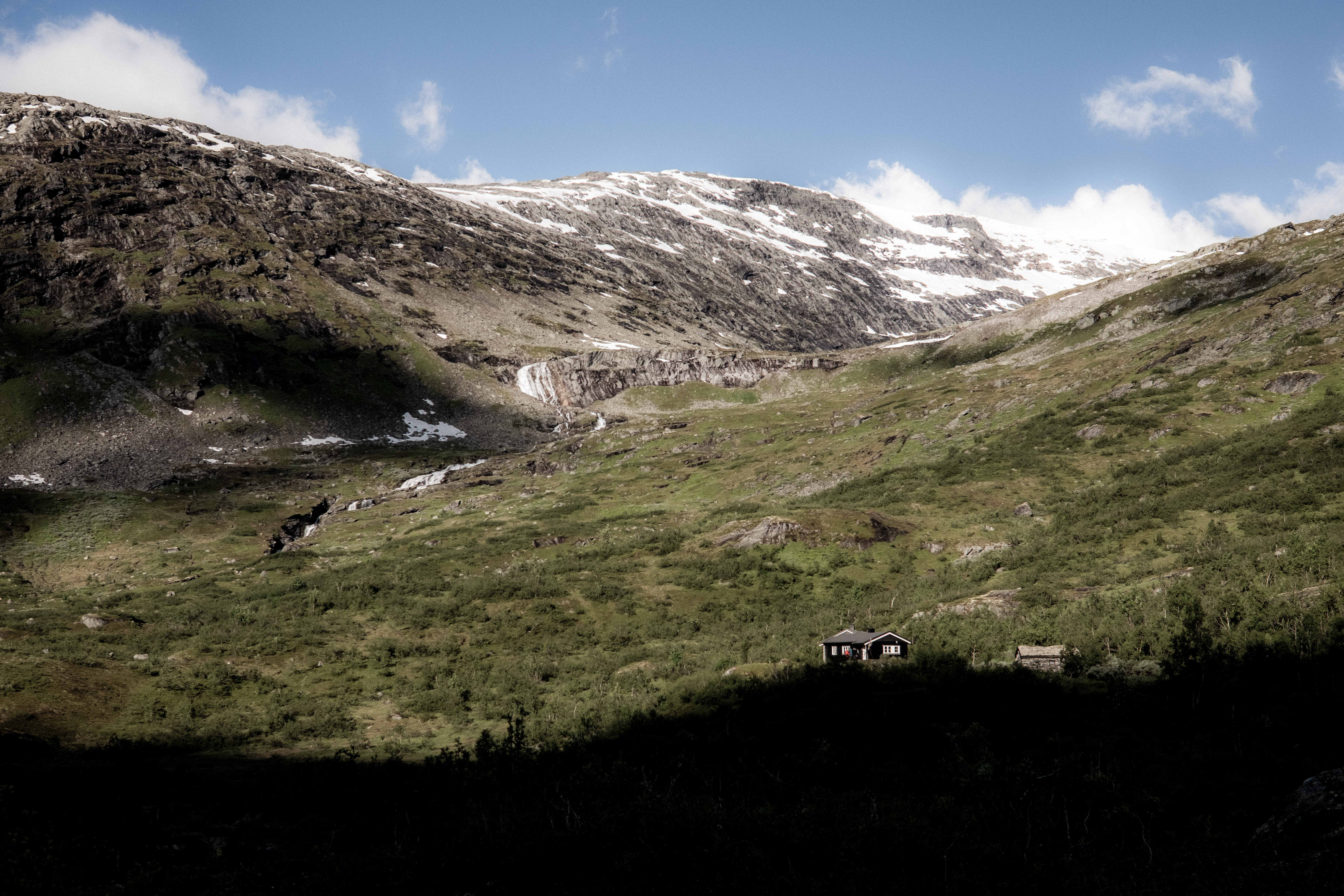
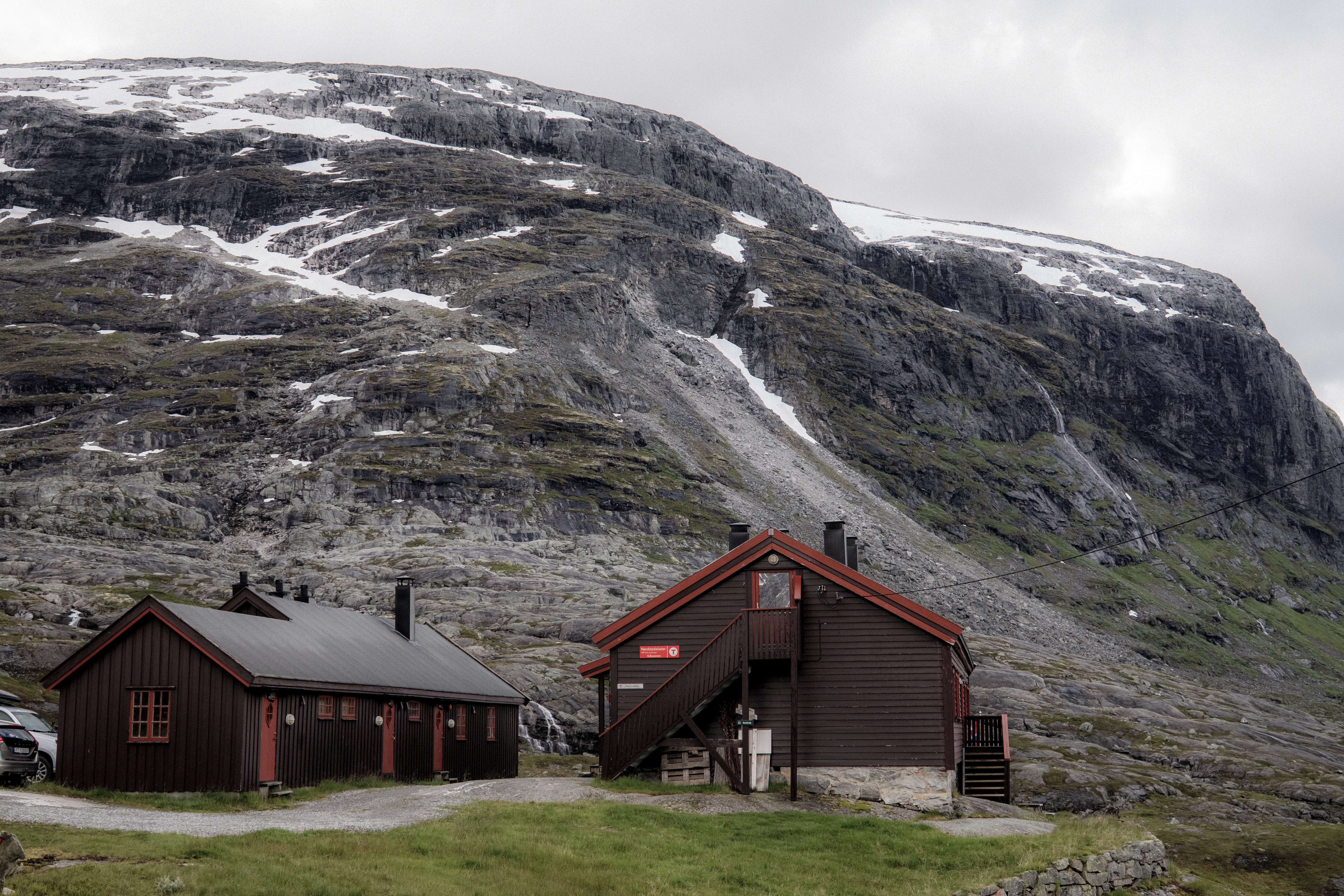
And then the cabin came into sight – it was perched on the edge of the mountain, surrounded by peaks – it was so exposed it was tethered to the ground by steel cables.
iPhone photo – we are staying here!!!!
‘We are definitely staying here!’ we universally agreed.
What a place. It has now gained our recognition of our favourite unserved cabin.
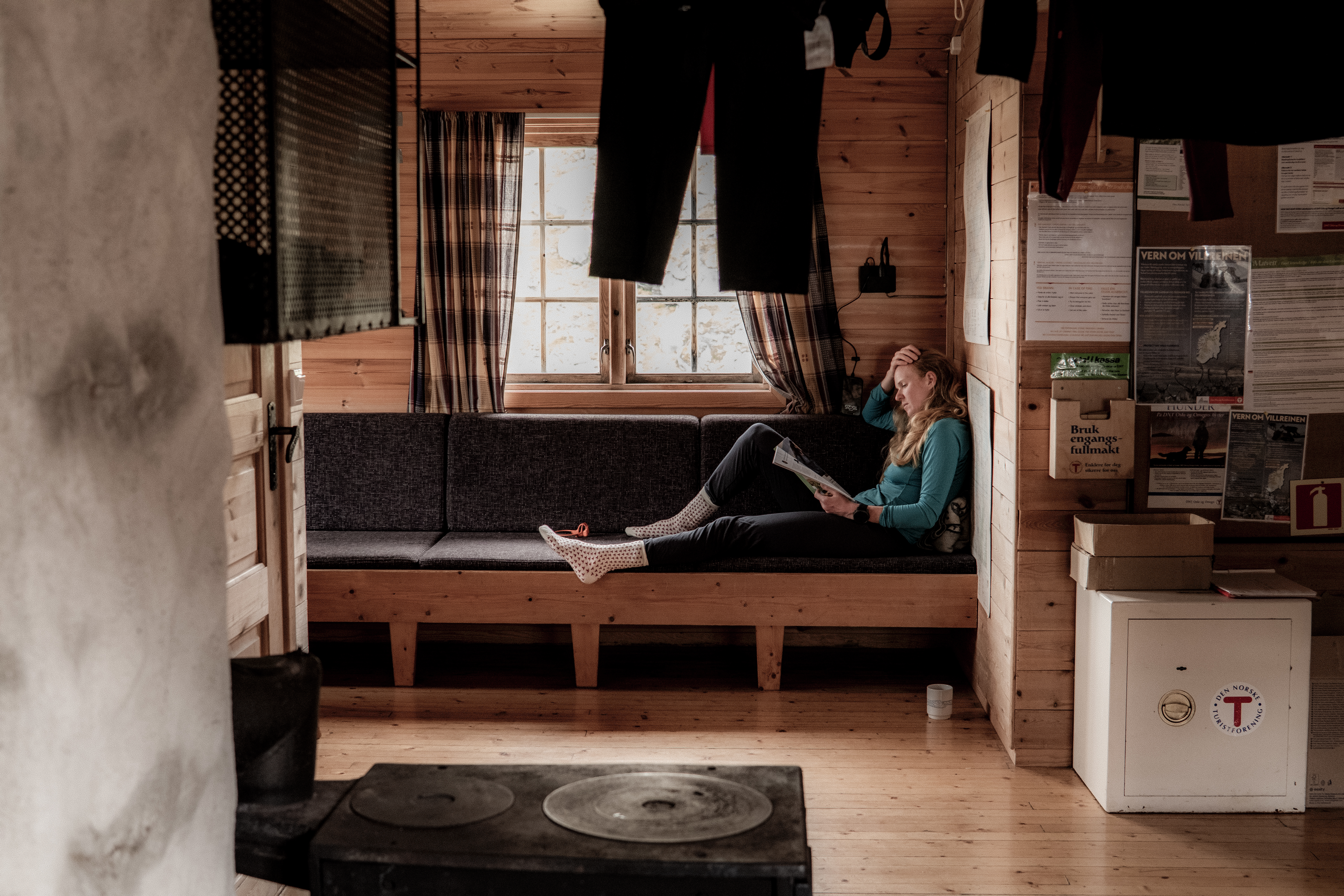
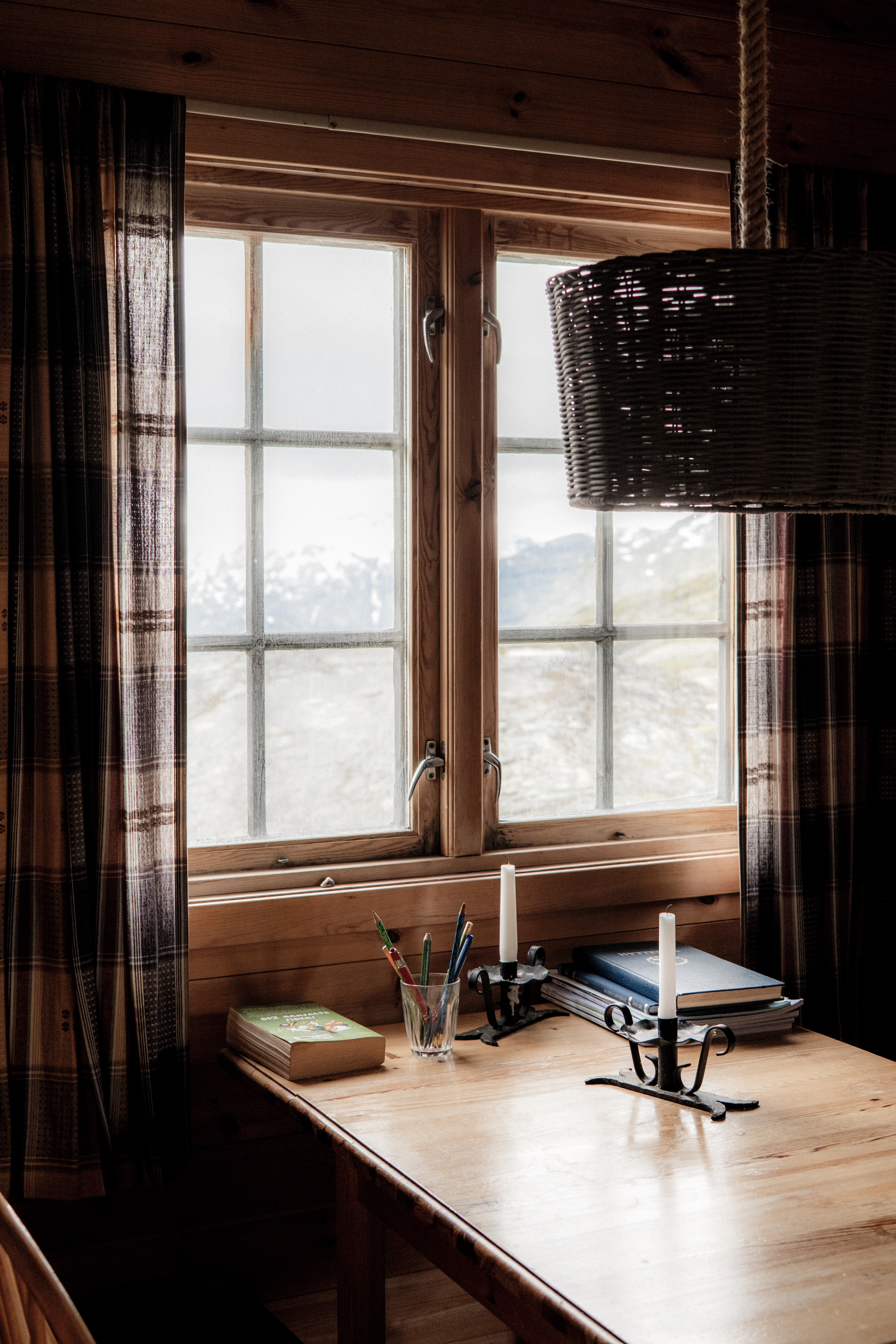
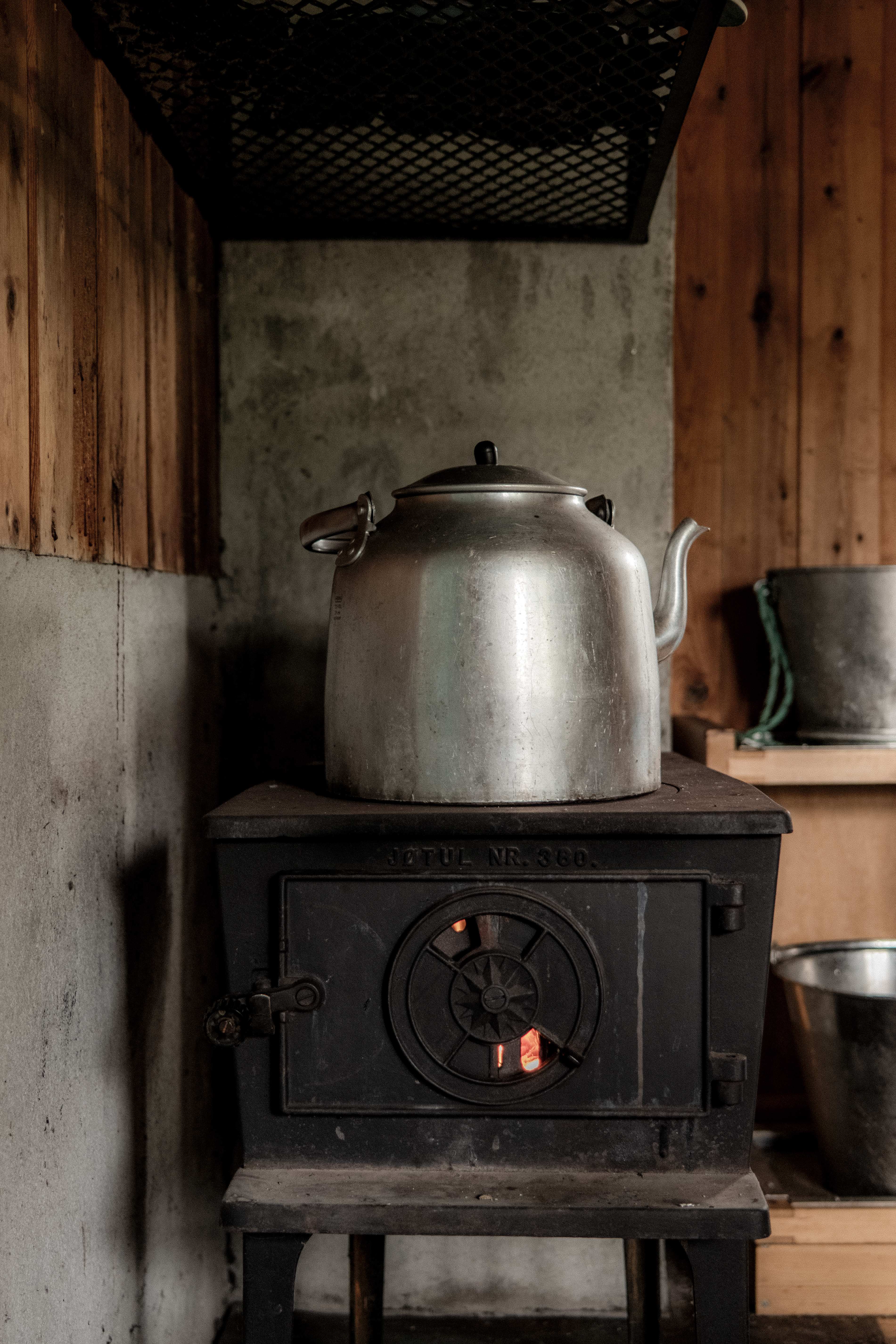
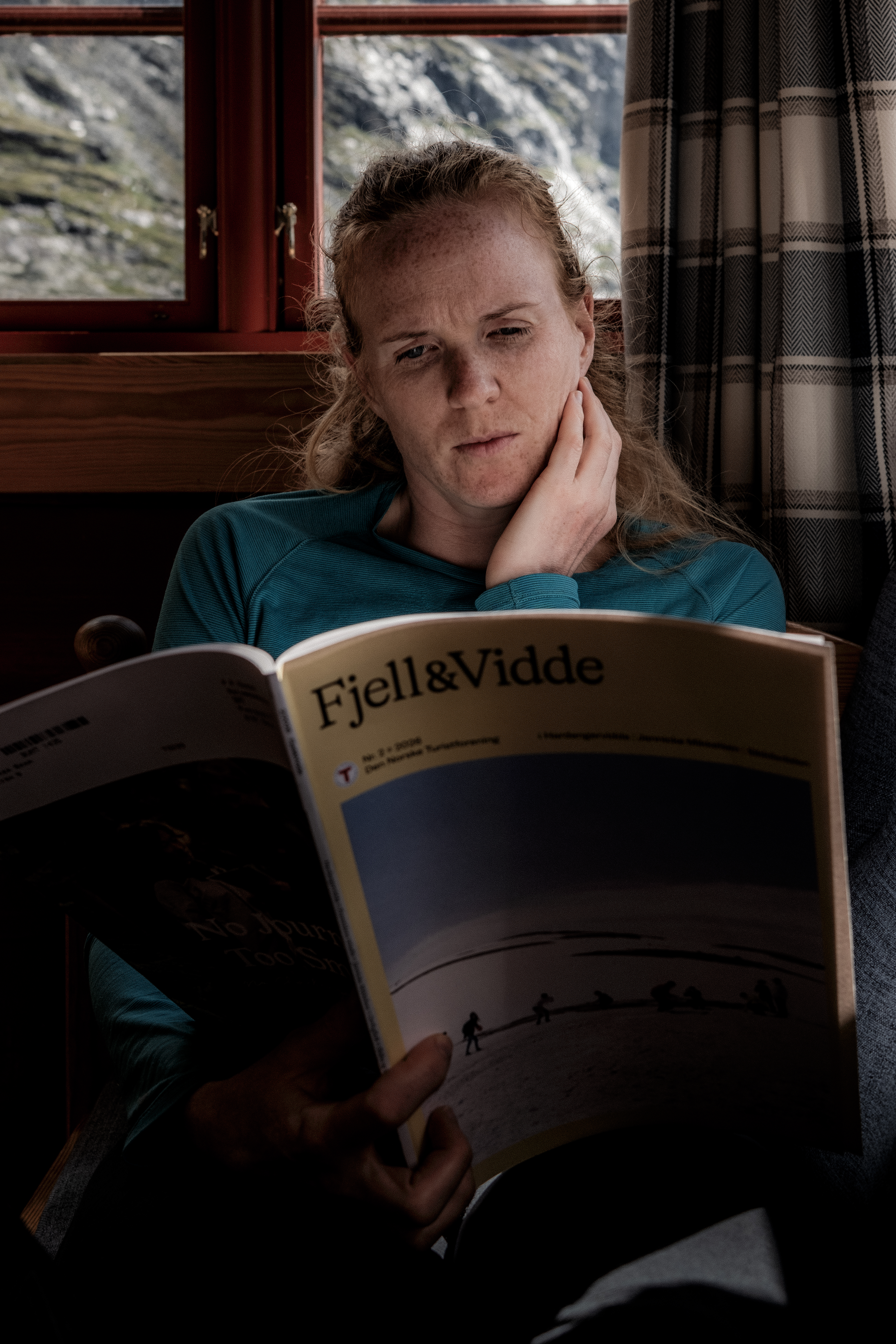
Inside, cozy and warm – we soon got a fire going, checked out the food supply and settled down to an afternoon of relaxation and reading. We were alone.
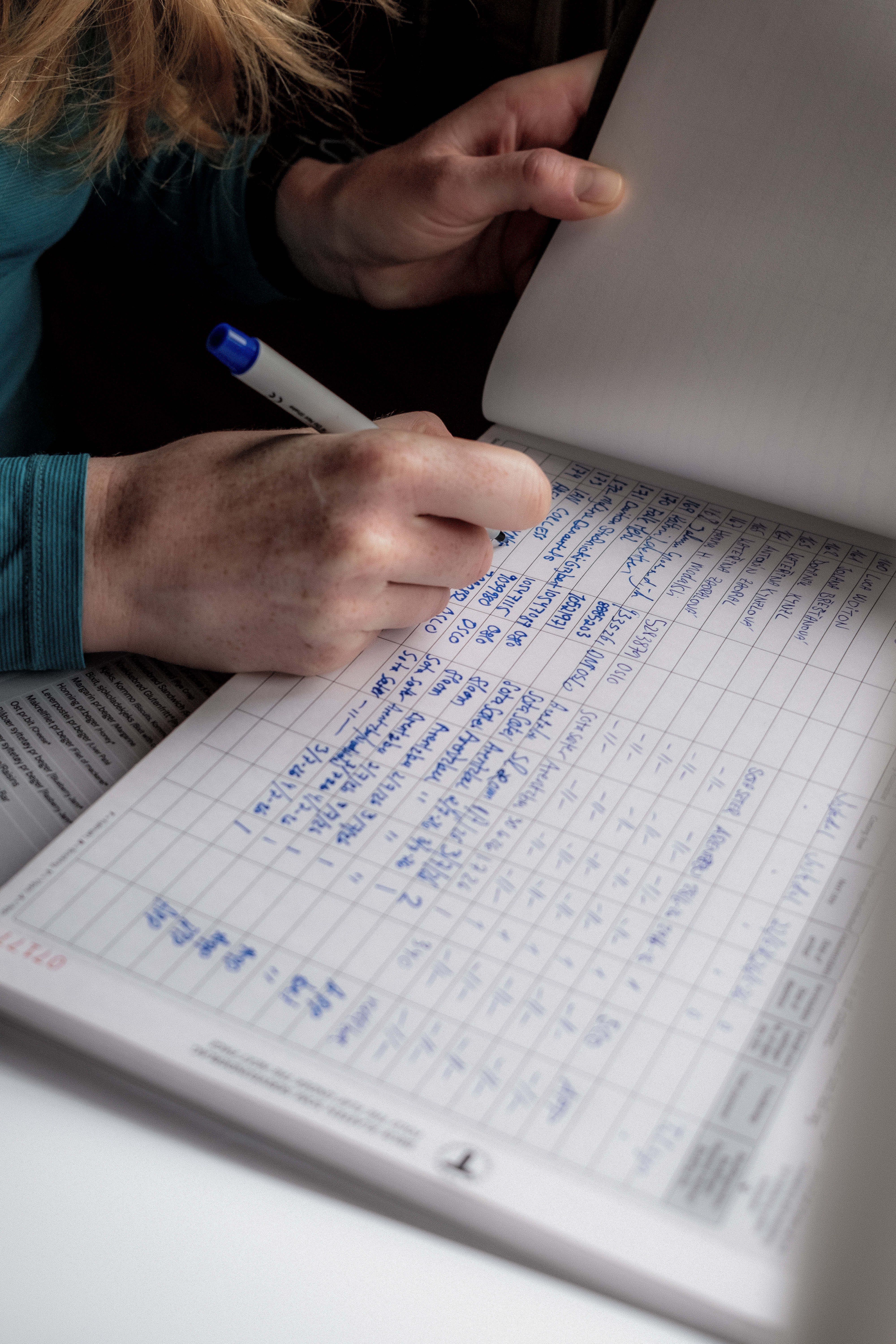
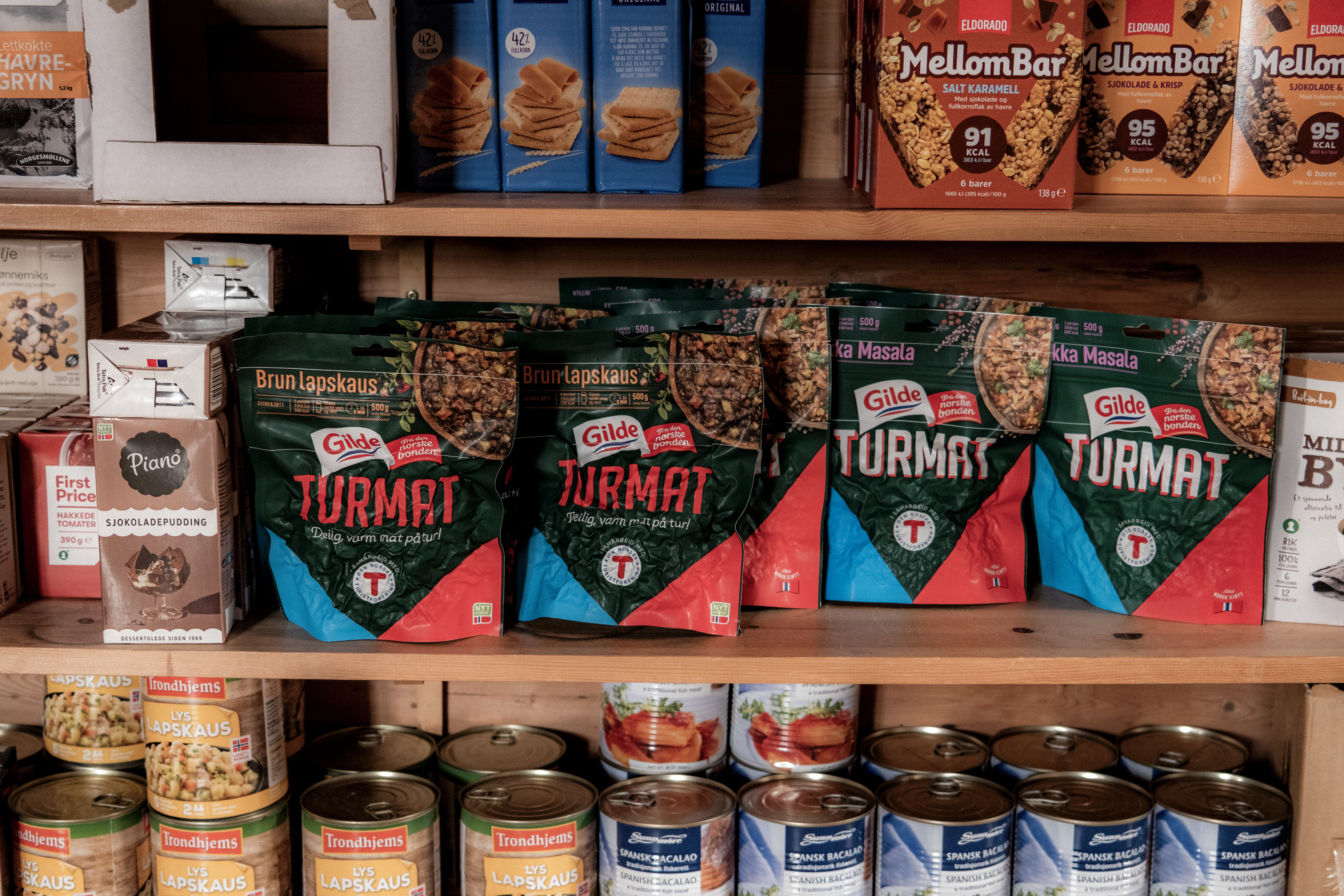
Self service cabins are special and they make ‘fastandlight’ possible – there is a food store so you do not need to carry food. There is a bed with a duvet and pillow, importantly, you must have your own sleeping bag liner! To access you need to be a DNT member and you need a key so that you can access the cabins. Download the DNT app on your phone and you can pay for your stay and what food you use in an automated way.
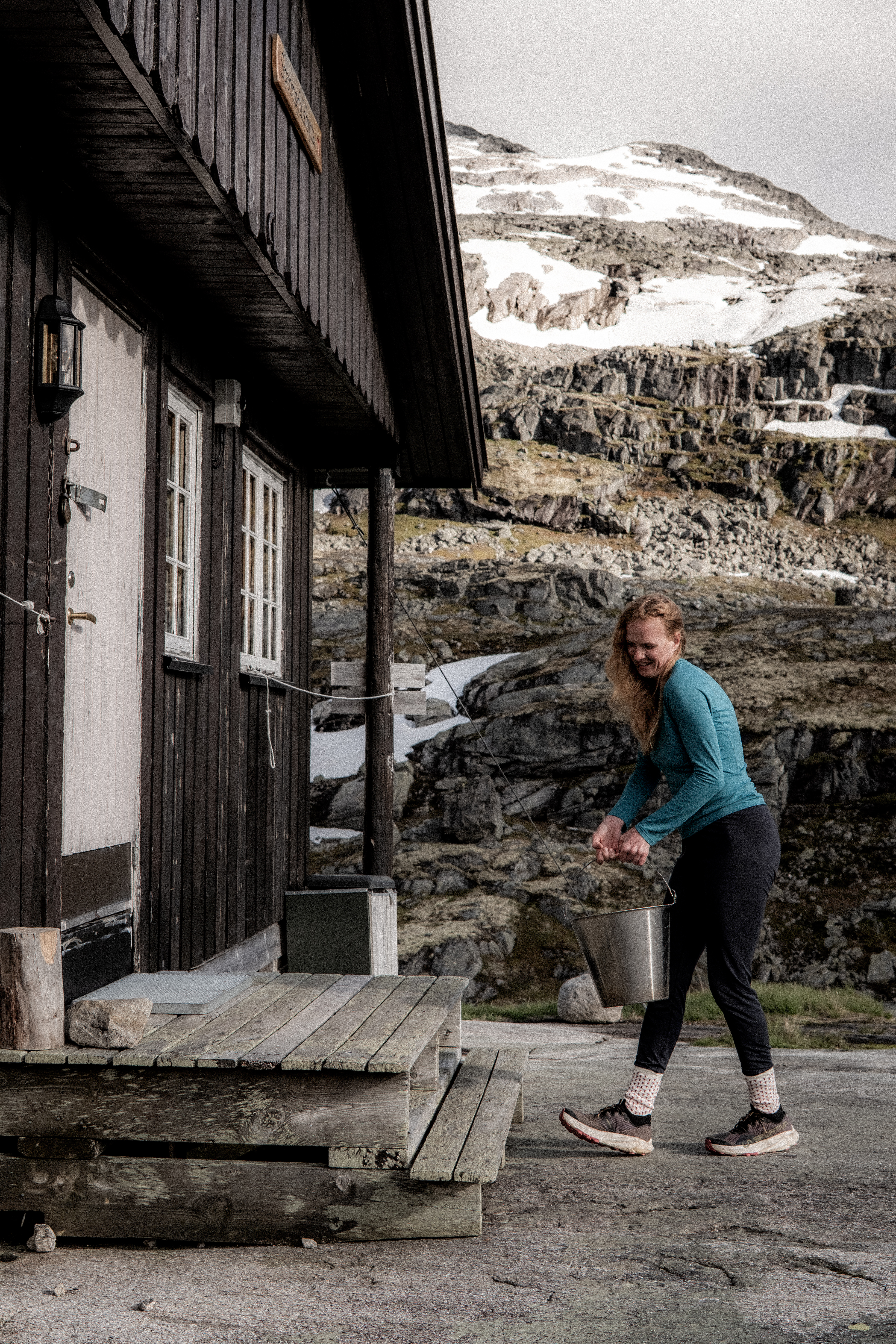
Water often comes from a stream.
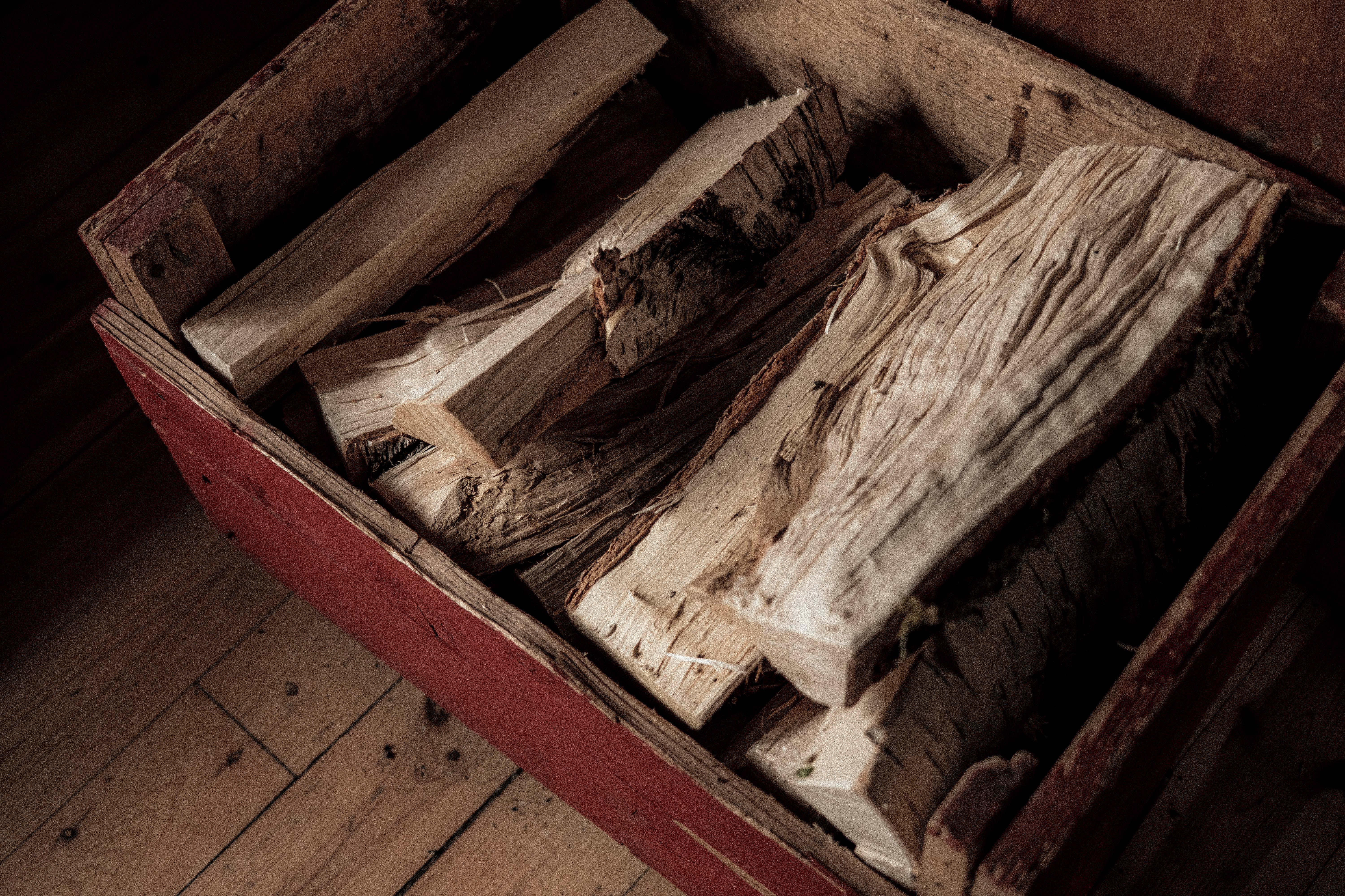
Fire wood is available for warmth and comfort.
There are cooking facilities – a home from home.
Later in the day we were joined by one hiker, we effectively had the place to ourselves and what a place!
Day 2 – 17.6km 573m+ 4h 01min
On paper, this stage to Arentzbu was going to be easy. ‘It’s mostly downhill’ I said.
Welcome to Norway, welcome to Breiheimen.
This place humbles you in a very good way.
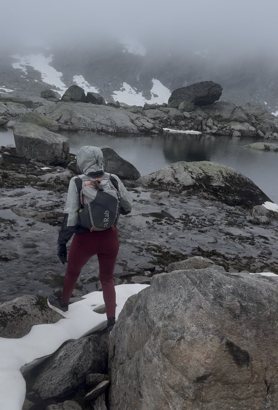
Breiheimen is wild and I love it. We awoke and as always, I took a look out of the window… argh, I am inside a ping pong ball. Cloud and rain had arrived and we were in the thick of it.
Layers on, waterproof jacket on, gloves on Garmin InReach turned on and we started the day climbing up to the snowy mountains above us.
My camera never made an appearance today, at least until inside the cabin, the weather was too wild.
iPhone photo
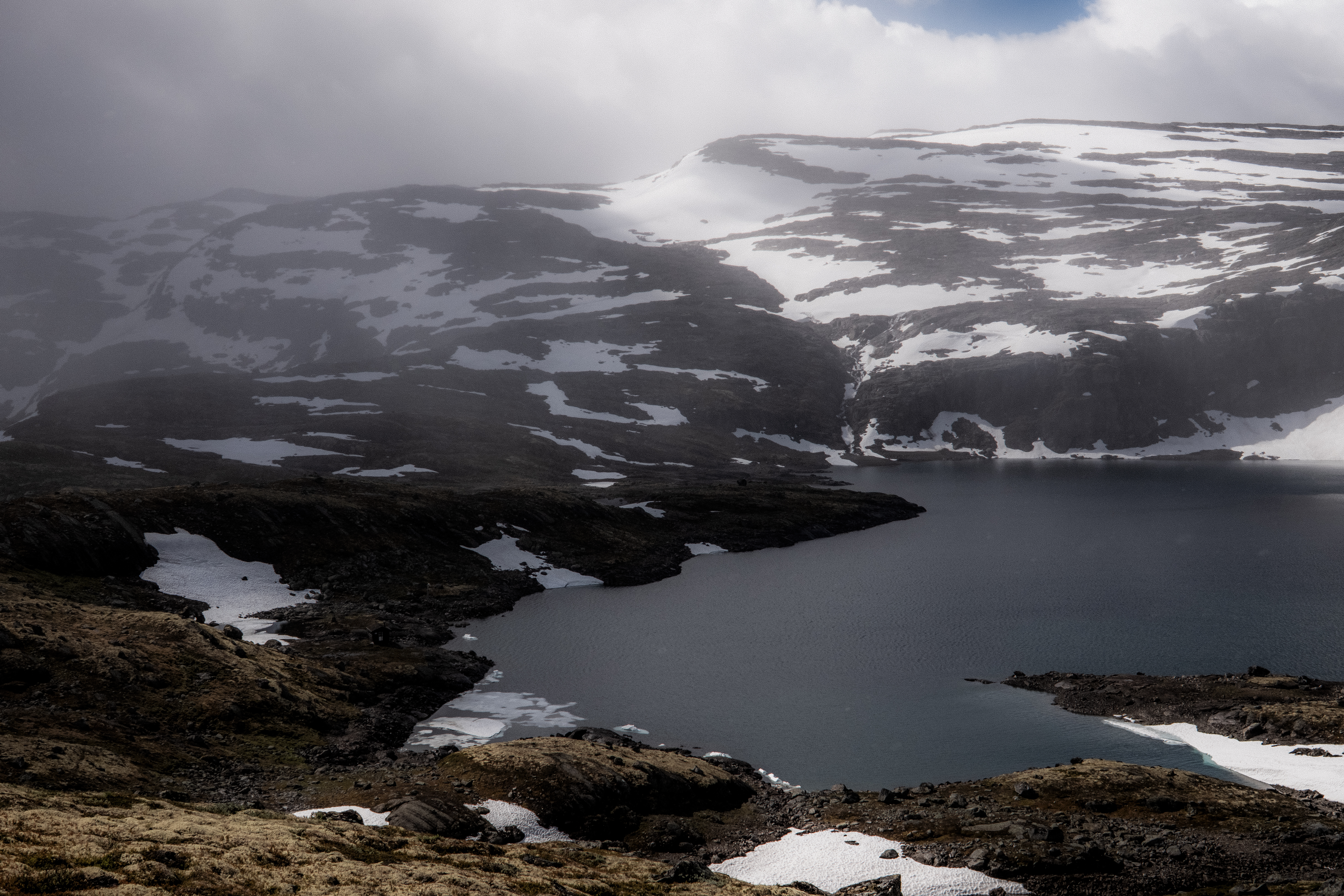
The trail twists and turns navigating through the rocks, boulders and snow. As in the previous day, looking ahead and referring to GPX is the best way to navigate – this provides the big picture and picking a point ahead and navigating to it is my preferred method than going from T to T.
iPhone photo
It was tough terrain.
Slippery, wet, uneven and the persistent rain made this a PURE Norwegian day. In contrast to SAGA, this was wild and remote.
iPhone Screenshot
Gluggevardvatnet (1429m) a large lake was a key point with a short climb after then effectively we were going downhill to Arentzbu.
‘Bloody hell, I am seriously glad we stopped at Sprongdalshytta last night; this would have been miserable yesterday!’
There was part of me that hated to say it, but I was correct. Had we done the double day yesterday, for sure we would have got it done but it would have been a seriously tough 8 to 10-hours.
If you haven’t already realized it, never read too much into distance in Norway – 2km’s can take 1-hour!
Following the trail through green and wet terrain, Arentzbu revealed itself nestled in a lush green valley surrounded by mountains – a real contrast to Sprongdalshytta.
There were two cabins and, in the cabin we chose, there were three Danish guys who ironically were chilling after a night in the cabin.
It was midday and for me, I was expecting that they would stay another night, but no, they were just late starters. We shared chat, a fire and hot drinks and by 1500 they were gone.
Abelone and I settled down, fire blazing – this is the life.
The door opened and two very wet and exhausted Dutch guys entered the cabin. It was around 1800hrs, and they looked a little traumatized. As always, we welcomed them, offered hot water and helped them settle.
They had come from Nørdstedalseter, this would be our day 3, approx 17km’s and 1000m+
It had taken them over 10-hours and the final km’s hadmost definitely had an impact – they complained of the mud, the cold, the slippery conditions – ‘Welcome to Norway’ Abelone and I confirmed.
A cellist and a script writer – we enjoyed an entertaining night sharing stories, one of the joys of the cabin-to-cabin experience.
Day 3 – 16.91km 1059m+ 3h 48m
Nørdstedalseter was our destination today, a cabin Abelone and I know well. This cabin was the end of Abelone’s day 1 doing MASSIV in 2025 and as such it holds a special place. It’s in an amazing location, has great rooms, a shower and serves great food – what a treat!
The sun was shining, the sky was blue, and the landscape was magnificent.
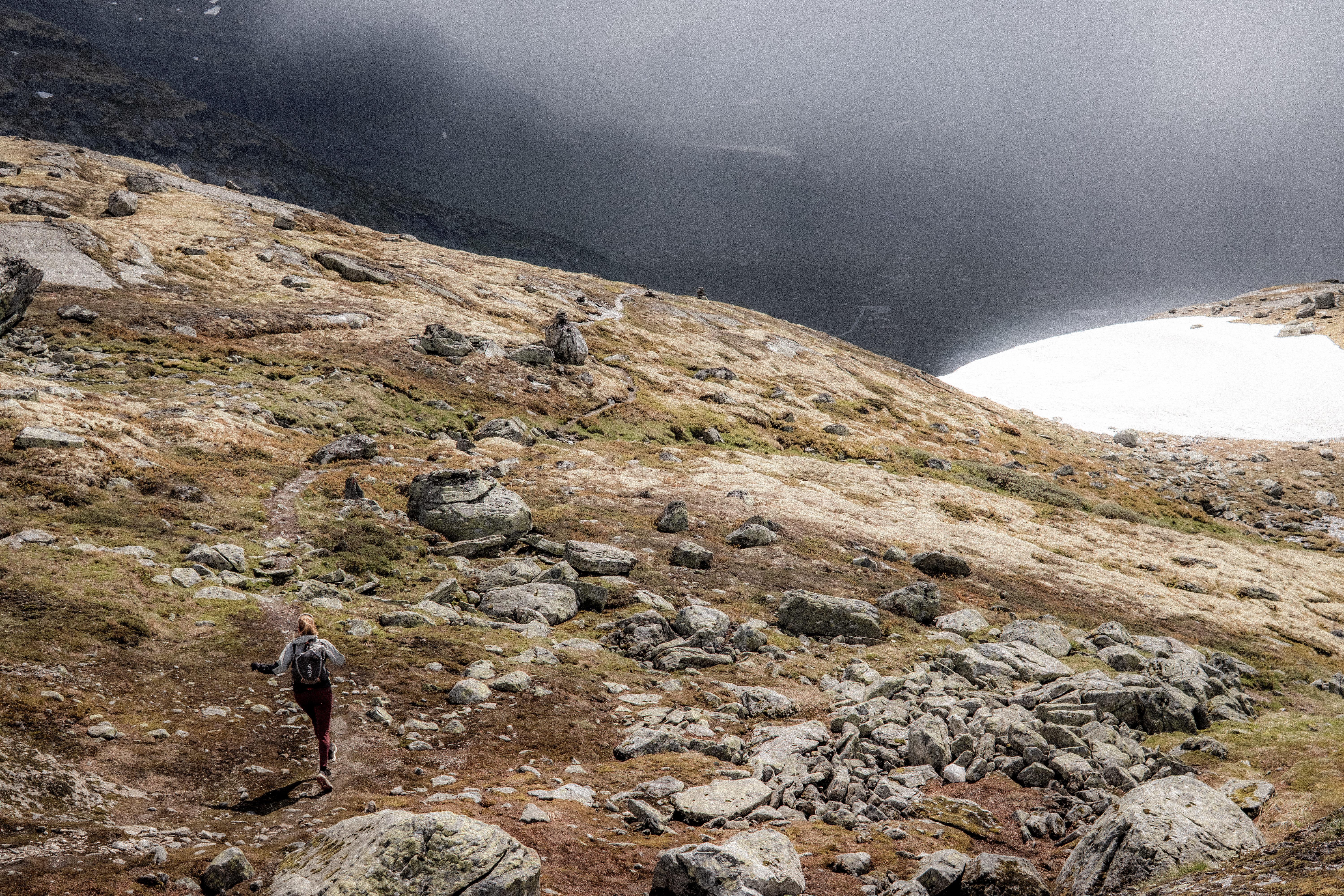
The first 2km’s were boggy, wet and slippery. A mud fest. We then turned left and climbed up and up through a tight twisting trail of mud.
‘I can see why our Dutch friends were a little jaded when they arrived last night!’ I shouted at Abelone. ‘It’s aw challenge going up, coming down it must have been miserable!’
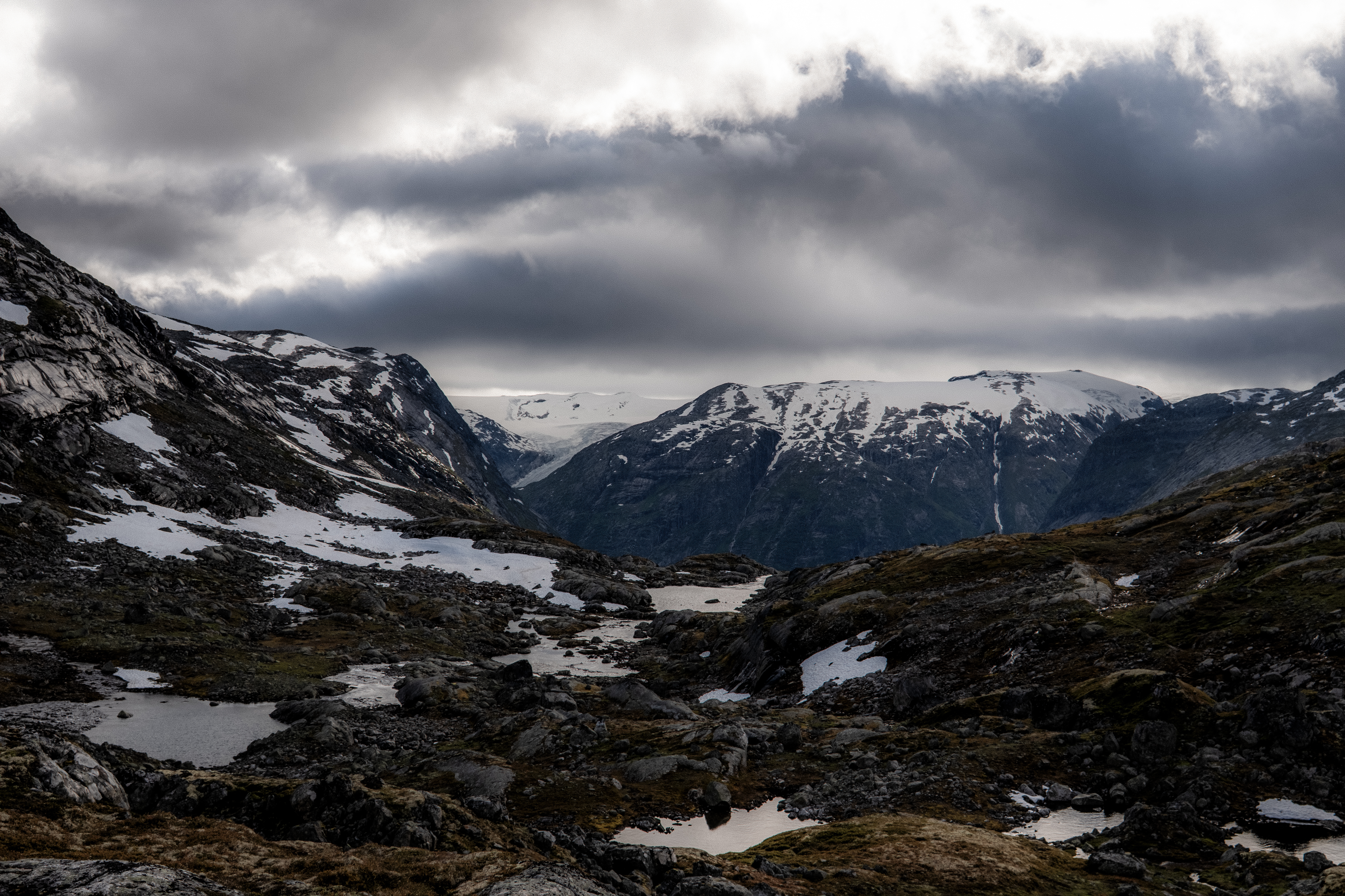
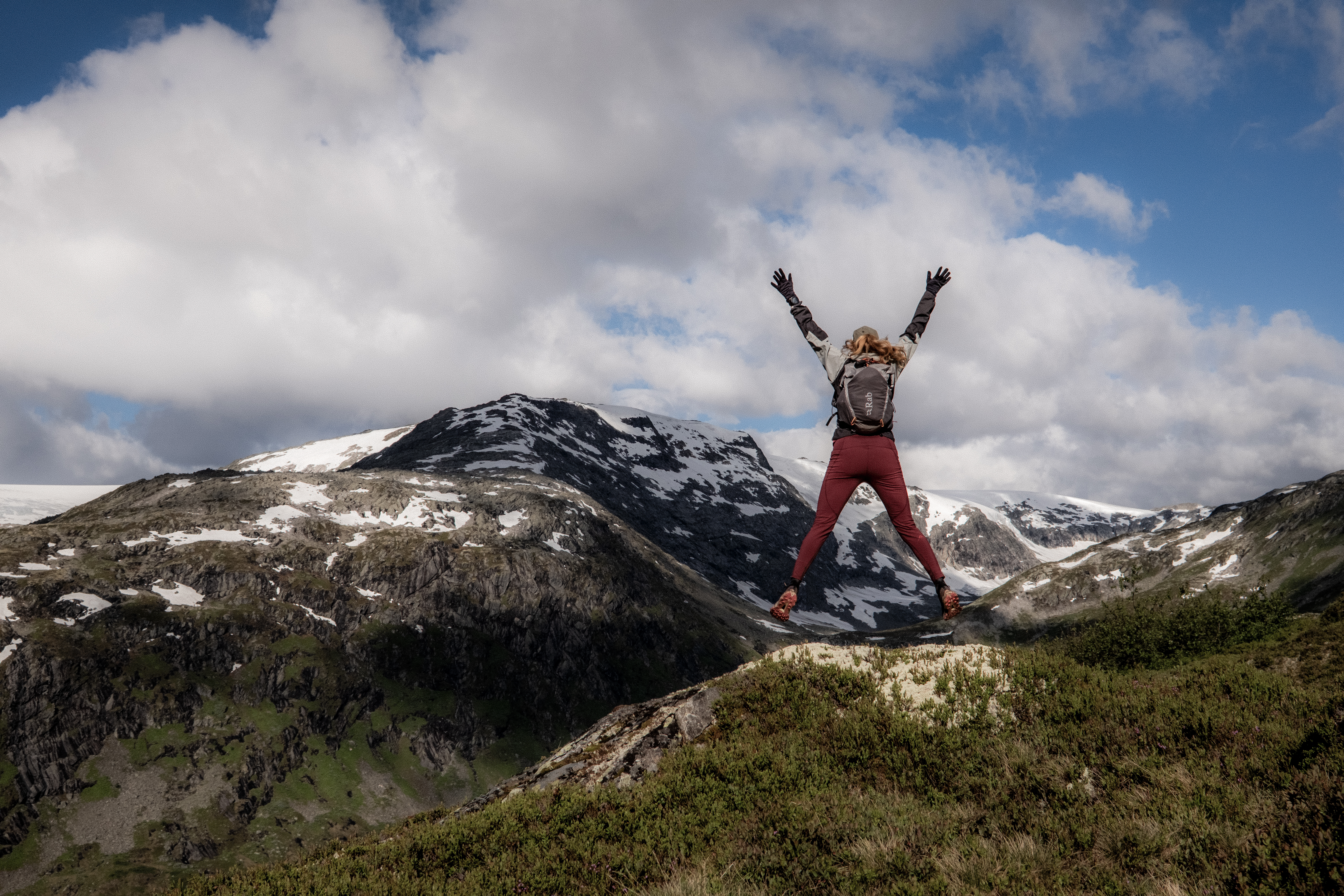
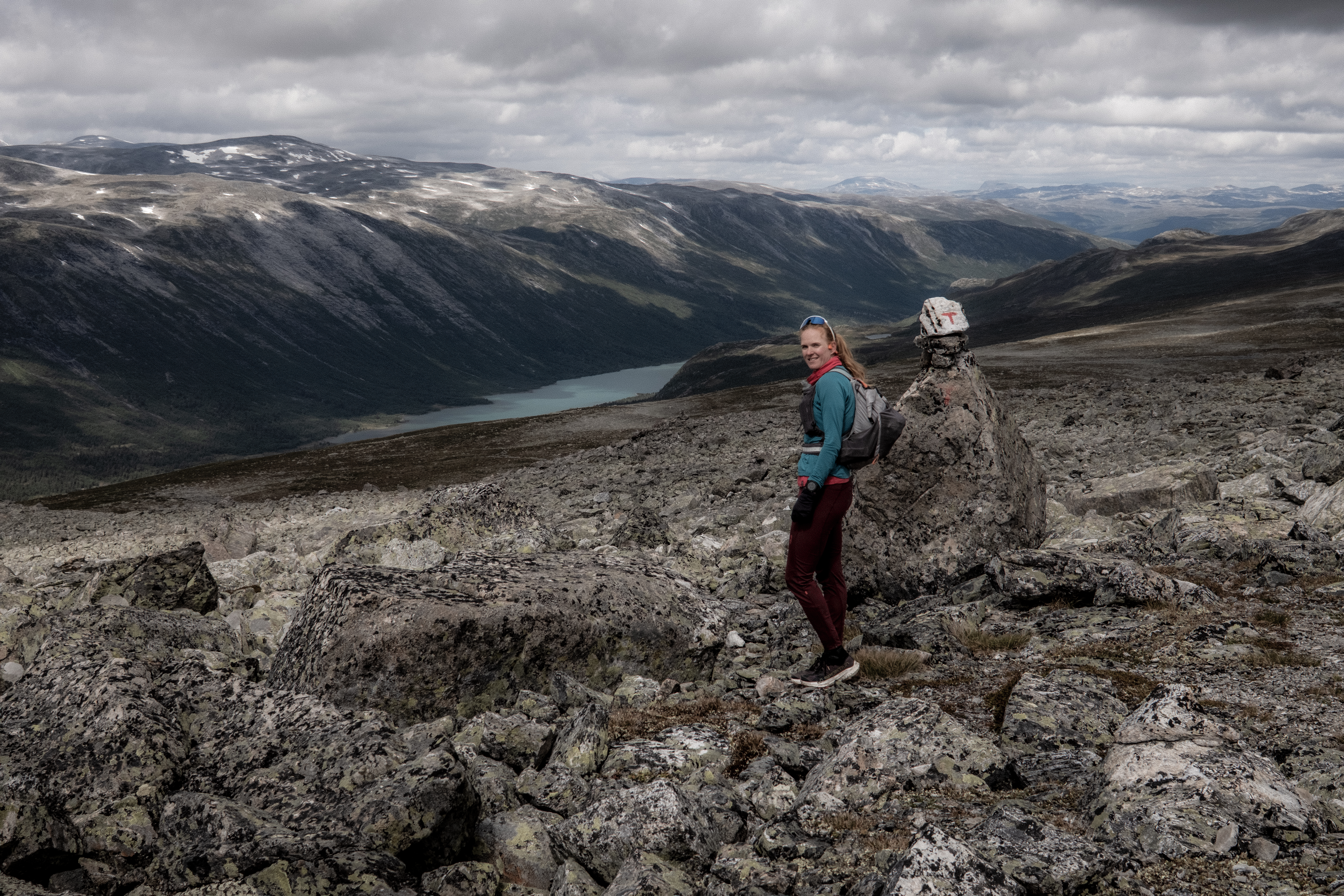
Heimsta Rausdalsvatnet lake was in the background, in the distance Spørteggbreen glacier was clearly visible. This is why we do what we do, these views were stunning.
We were now on stunning trails that mixed single-track with snow crossings, boulder fields and rock hopping. It’s the terrain we love. The weather was perfect.
We passed around Leirvatnet and started the steep and rocky climb that offered some pleasant challenges and then the snow came… Yes, snow started. Just to confirm that July in Norway can give you anything and everything.
Sun, snow, challenging terrain and amazing views – this was a perfect Breheimen day.
After passing Gravdalsvatnet, Nørdstedalseter could be seen in the distance, apprx 5km’s away – the light, the views were stunning. With the final few km’s on gravel road, I was already drinking an AF beer in my mind.
But we had the descent to Fivlemyrane first. Downhill, technical terrain, steep and two really ****ed knees basically mean grin and bear it – I did, it was miserable.
The cabin was a welcome sight.
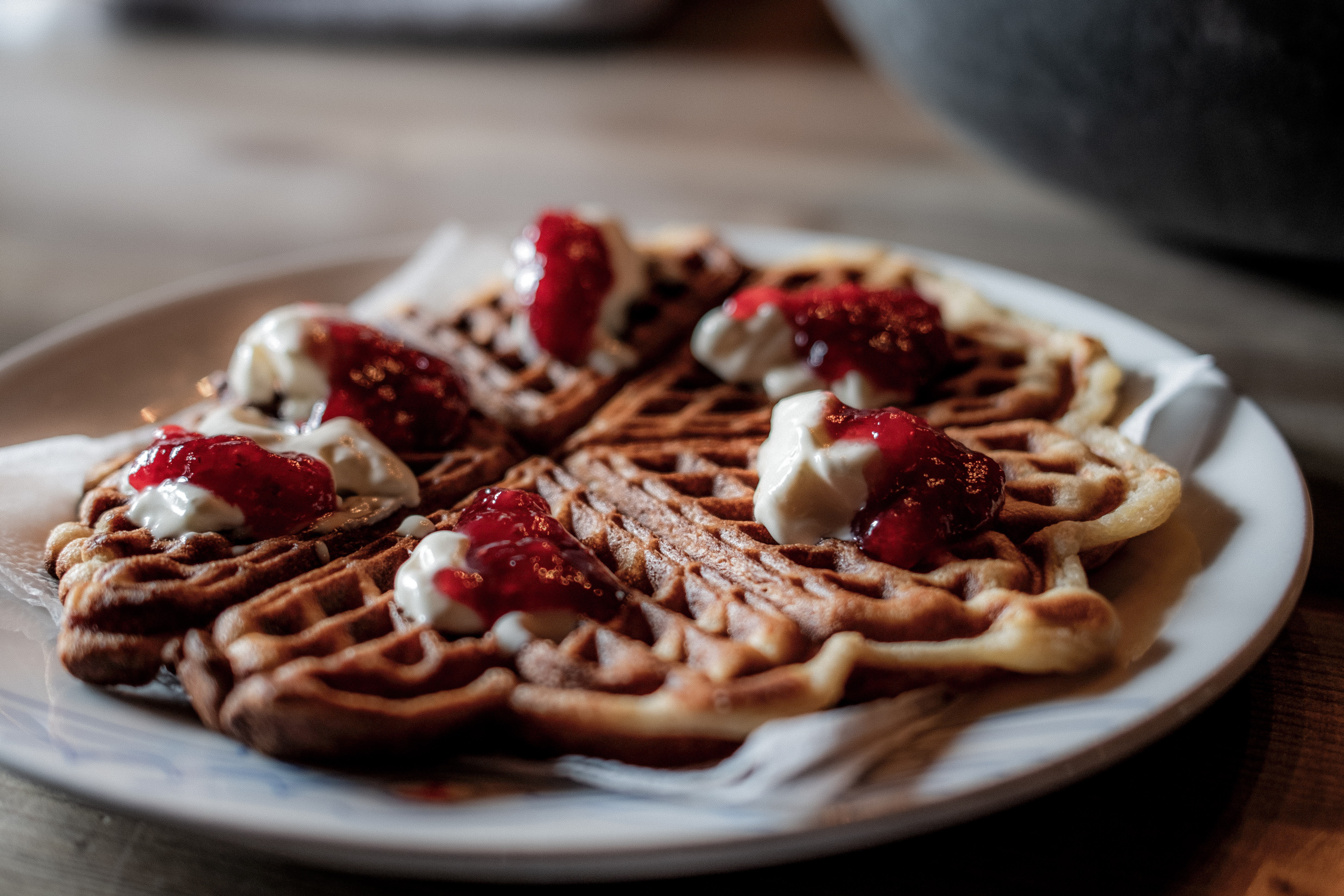
With just over 4-hours moving time, we settled into the cabin for relaxation, of course waffles, hot chocolate and some RnR.
Nørdstedalseter as I have said is the first cabin on the MASSIV route and it is a rude awakening – arguably, along with the second day, it’s the hardest stage of the whole route. While Abelone and I take 6 hours +/-, many take 10, 12, 14 or even 16 hours. To accommodate that, dinner starts as 1900 but goes on till 2300.
We enjoyed our chilled afternoon and slowly, one by one, people arrived, the look of trauma clear on their faces – this is ONLY day 1, ‘How will I complete the MASSIV?’ the obvious question in their minds.
Day 4 – 25.69km 1269m+ 5h 38m
Nørdstedalseter to Sota Sæter and Sota Sæter to Nørdstedalseter is feared. I had done it both ways in 2025 joining Abelone on her MASSIV day 1 and then returning the following day to pick up the car and meet Abelone at her stage 2 finish.
For Abelone, she had not experienced the trail in this direction.
Due to some construction work, our opening easy gravel road start was detoured through no trails on the mountains adding an extra challenge.
Back on the normal trail we were moving quick and after what we had experienced on day 2 and day 3, we quite confidently said, ‘These are easy trails huh?’ They were, it was mostly single-track that weaved a path around Fivlemyrvatnet lake.
The sun was shining and then you guessed, it started snowing. I love Norway!
This route is beautiful, the views are spectacular, and the terrain is constantly challenging.
In contrast to 2025, there was considerably less snow, however, the boulders were just the same as last time… when you start the boulder fields, they go on, and on and on.
Around Illvatnet the terrain is particularly challenging and there is only one thing to do, move slow, precise and be careful.
Importantly, if you do decide to do this trail, you can arrive at Sota Sæter in two ways – one way is over the glacier! Do not go the glacier route without a guide or without the equipment/ experience to ensure safe passage.
Up and down, boulder after boulder, you finally climb up to the plateau with stunning views over the route you have just experienced – magical. Tundradalskyrja peak at 1969m towers over you and from here on in, it’s an easy run into the finish….
Think again – the boulders continue and so does the snow and just as you climb the final last little climb, knowing Sota Sæter is nested in the valley below, the boulders continue. There is a reason why this day is considered one of the toughest on the MASSIV.
I gritted my teeth, hated every single step of the final descent as each knee screamed with each footstep and finally, when on the road at the bottom, I kissed the floor.
‘Now, where are the waffles?’
Breheimen is wild, adventurous, a challenge, impressive, beautiful and magical. You need to respect it, and you need to be prepared, but this is one loop I cannot wait to do again.
“Set a goal, either alone or with family and friends, and complete SAGA your own way. Create your own story.” – DNT
That single sentence perfectly sums up the DNT SignaTUR SAGA. Not because we (I) followed the route exactly as intended. And certainly not because everything went to plan. Quite the opposite.
Abelone and I set out with one simple objective: not to chase the Fastest Known Time, but to create our own Funnest Known Time – inspired by Abelone’s Funnest Known Times on the Omvien and the Massiv in 2025.
What is SAGA?
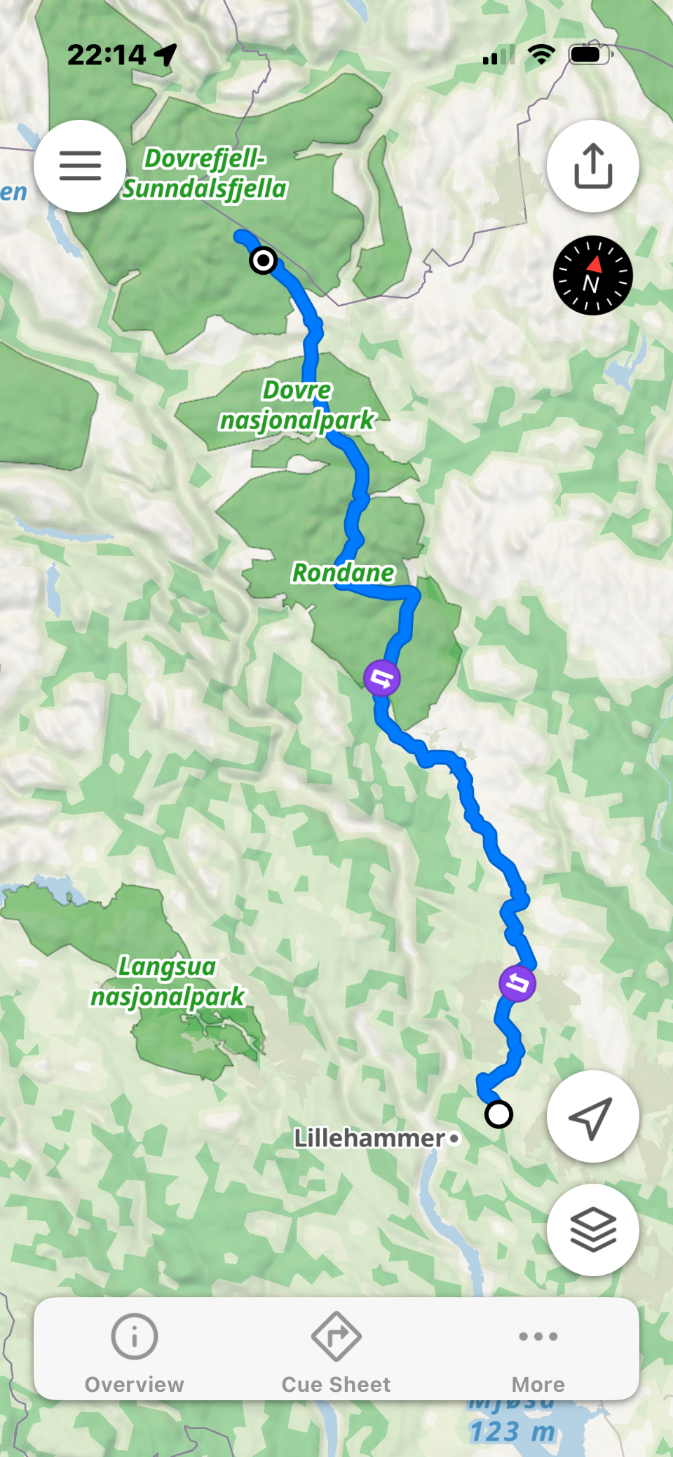
SAGA is the Norwegian Trekking Association’s (DNT) signature long-distance route linking Lillehammer with Snøhetta, crossing the wild mountain landscapes of Ringebufjellet, Rondane and Dovrefjell.
Image from FOOTPATH app (c)
Originally the route covered around 240 kilometers, but to protect vulnerable wild reindeer habitat it now follows a 208-kilometre route. The change requires a transfer bus from Hjerkinn to Snøheim, bypassing the fragile area around Reinheim Cabin before the final ascent of Snøhetta.
The trail normally takes hikers 12 to 14 days, spread across 14 stages, staying in DNT’s superb network of serviced and self-service cabins and occasional hotels. Some people choose to camp, but the cabins are very much part of the SAGA experience.
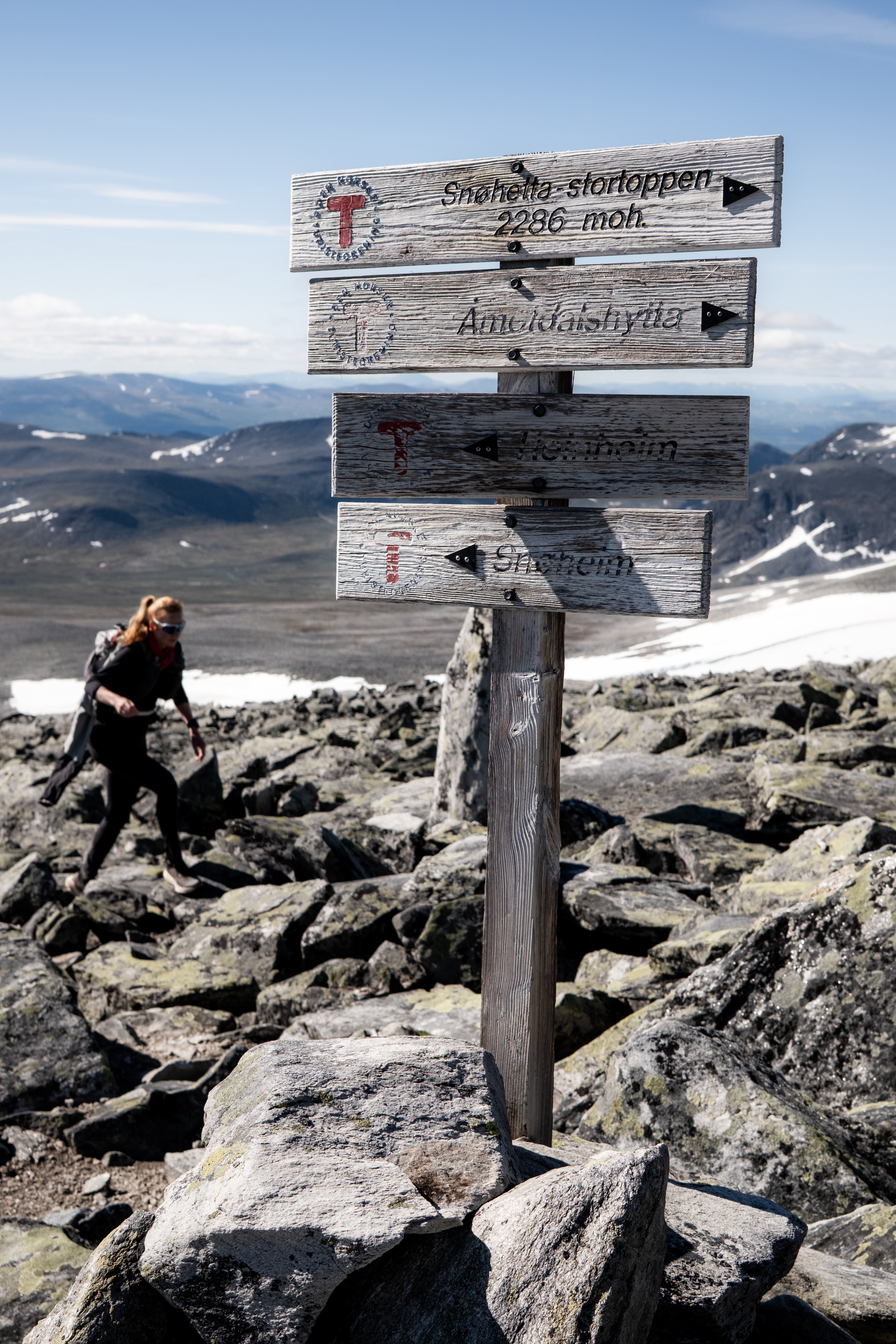
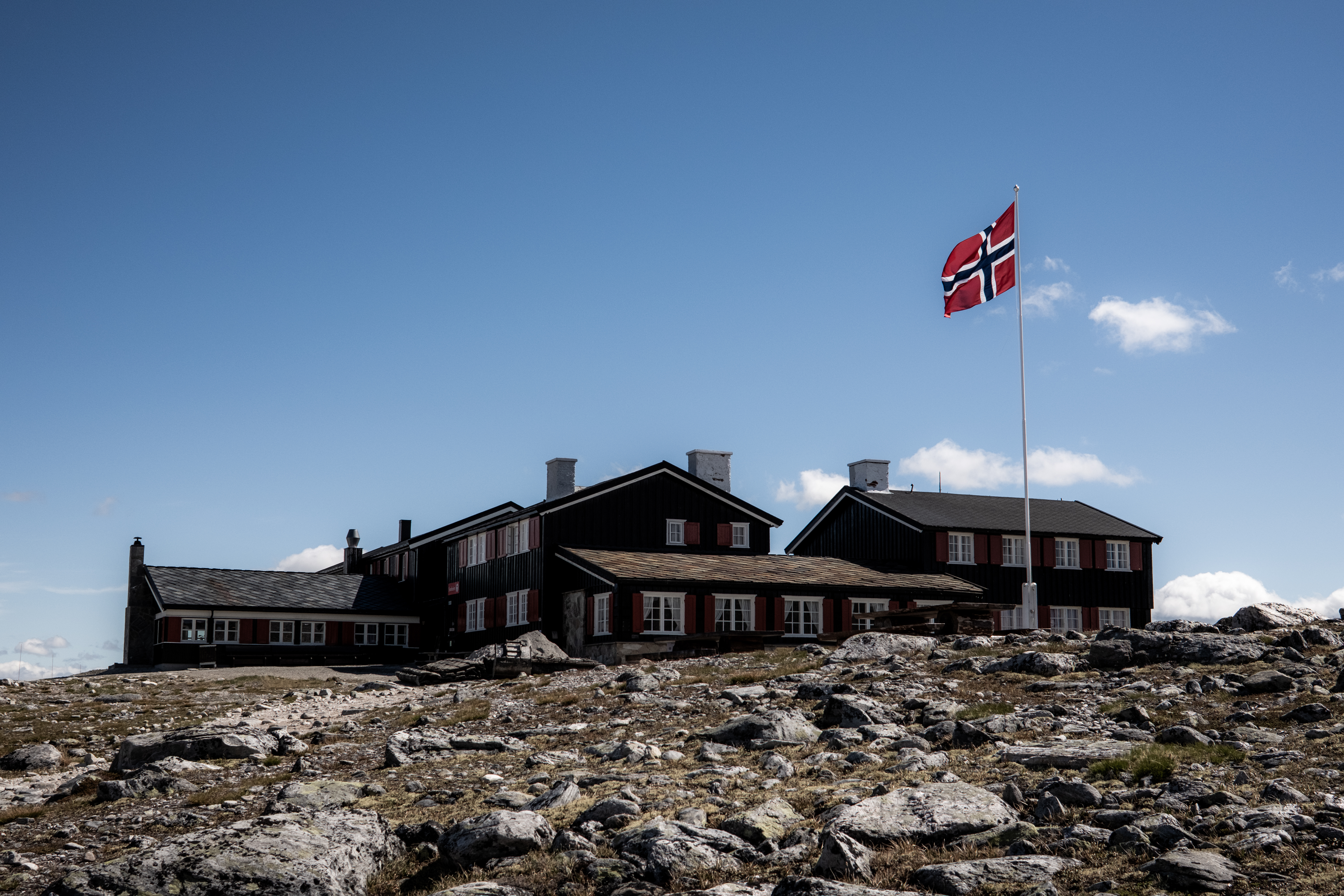
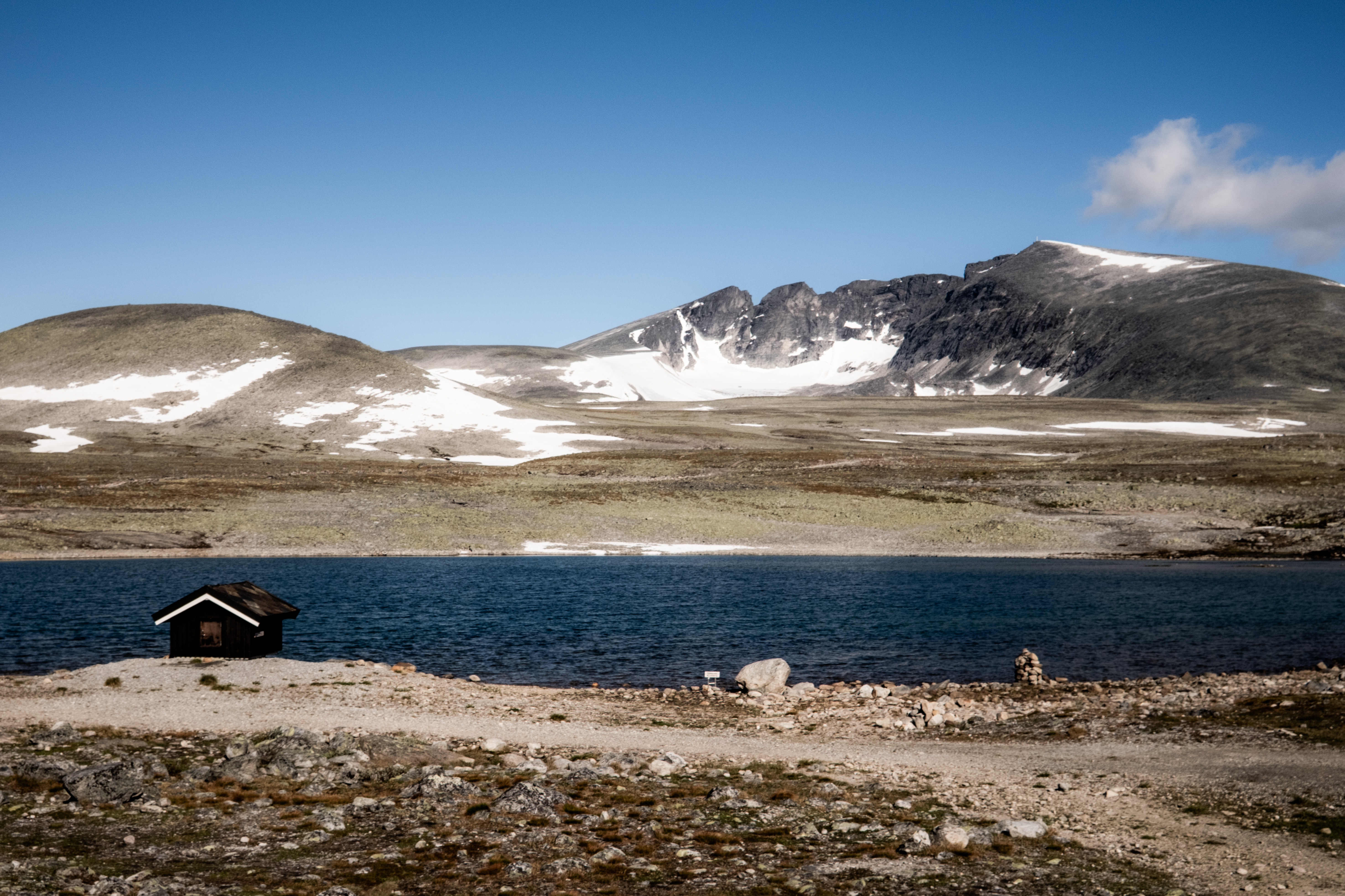
The final section is the climb of Snøhetta (2,286m), Norway’s highest mountain outside Jotunheimen and the highest peak in Dovre. Technically, SAGA stops at the summit but we considered the finish when we returned back to Snøheim cabin.
In 2020, Inger Haugland set the official Fastest Known Time of 2 days, 8 hours and 56 minutes over the previous 220km version of the route. That was never going to be our objective, but it does provide perspective.
The Funnest Known Time
We wanted something different. We wanted to move quickly, cover big distances and enjoy every single day. Our target was simple: finish SAGA in under six days by “fastpacking” the route.
Small 20ltr pack, under 5kg – fast and light
Fastpacking is probably the biggest reason we can comfortably string together consecutive long days. While many hikers carry 10kg or more, our packs are around 20 litres and weigh under 5kg including food, water and the equipment we need for the day.
That doesn’t mean cutting corners. We never compromise on safety and lightweight doesn’t mean underprepared.
Abelone and I would complete the journey together, but not necessarily side by side. Normally our pace is similar, but my ageing knees have reduced my running. Abelone, by contrast, can happily run and jog much of the trail, whereas I’m at my best power hiking with poles, climbing strongly and mixing in the occasional run sections where it suits.
It turned out to be the perfect combination. We each travelled at our own pace but still shared exactly the same adventure.
Getting to the Trail
One of the pleasures of SAGA is how accessible it is by public transport.
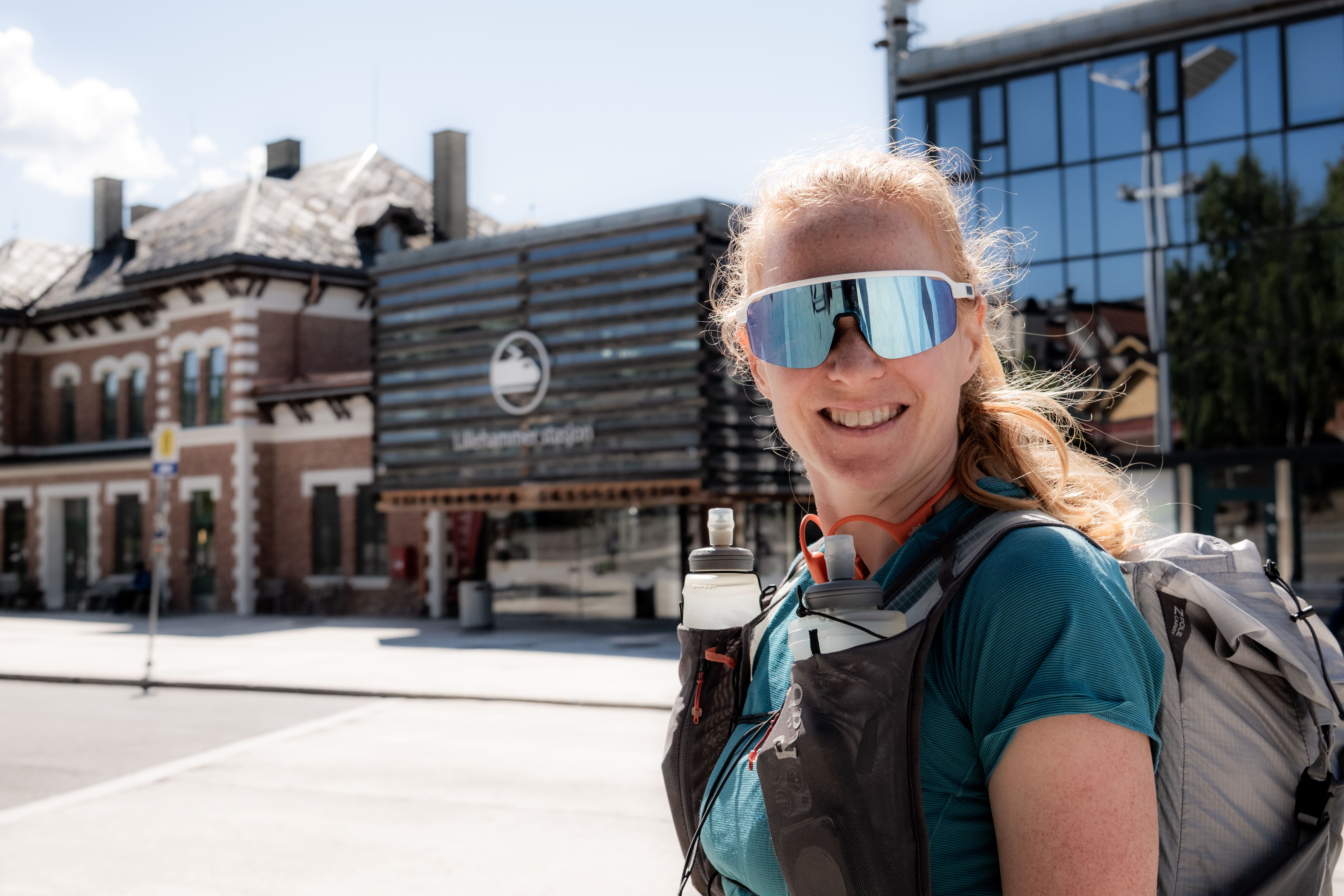
A train to Lillehammer followed by the local bus to Nordseter gets you to the trailhead. At the finish, the shuttle bus from Snøheim returns to Hjerkinn where trains connect south or north.
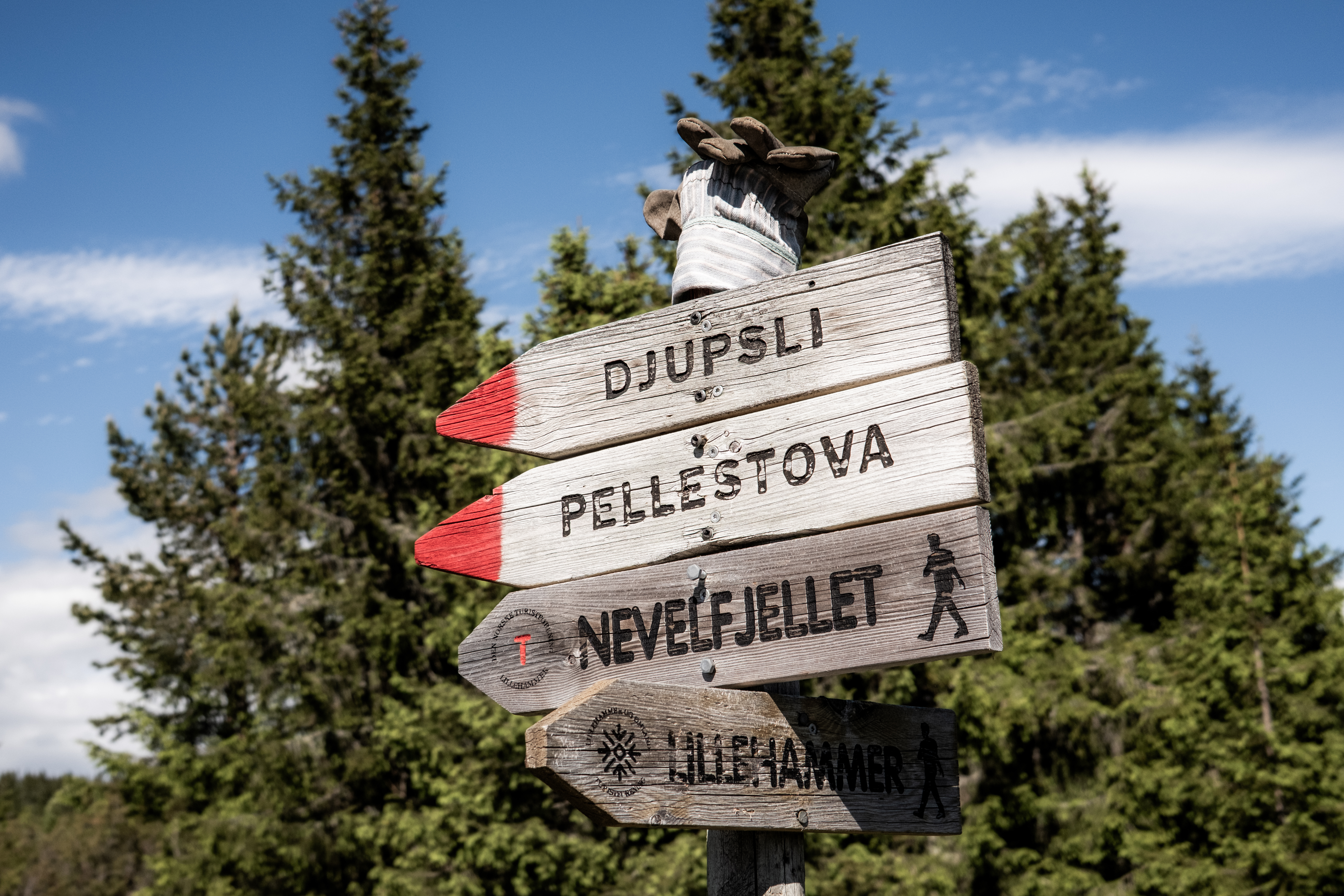
Because of transport timings we decided to spend our first night after only 7.26km with 393m+ at Pellestova Hotel. Not exactly FKT strategy. But very much holiday strategy.
With good food, comfortable beds and beautiful rolling trails overlooking Lillehammer, it was an excellent way to begin.
Day 1– Pellestova to Vetåbu (41.3km 1,165m+)
Our first proper day was a classic double stage covering over 41 kilometers via Djupslia Cabin.
Temperatures soared.
I’d been glad I’d ignored the temptation to carry less water because the streams before Djupslia were mostly low-lying and close to grazing animals. Djupslia’s fresh water supply was a welcome sight.
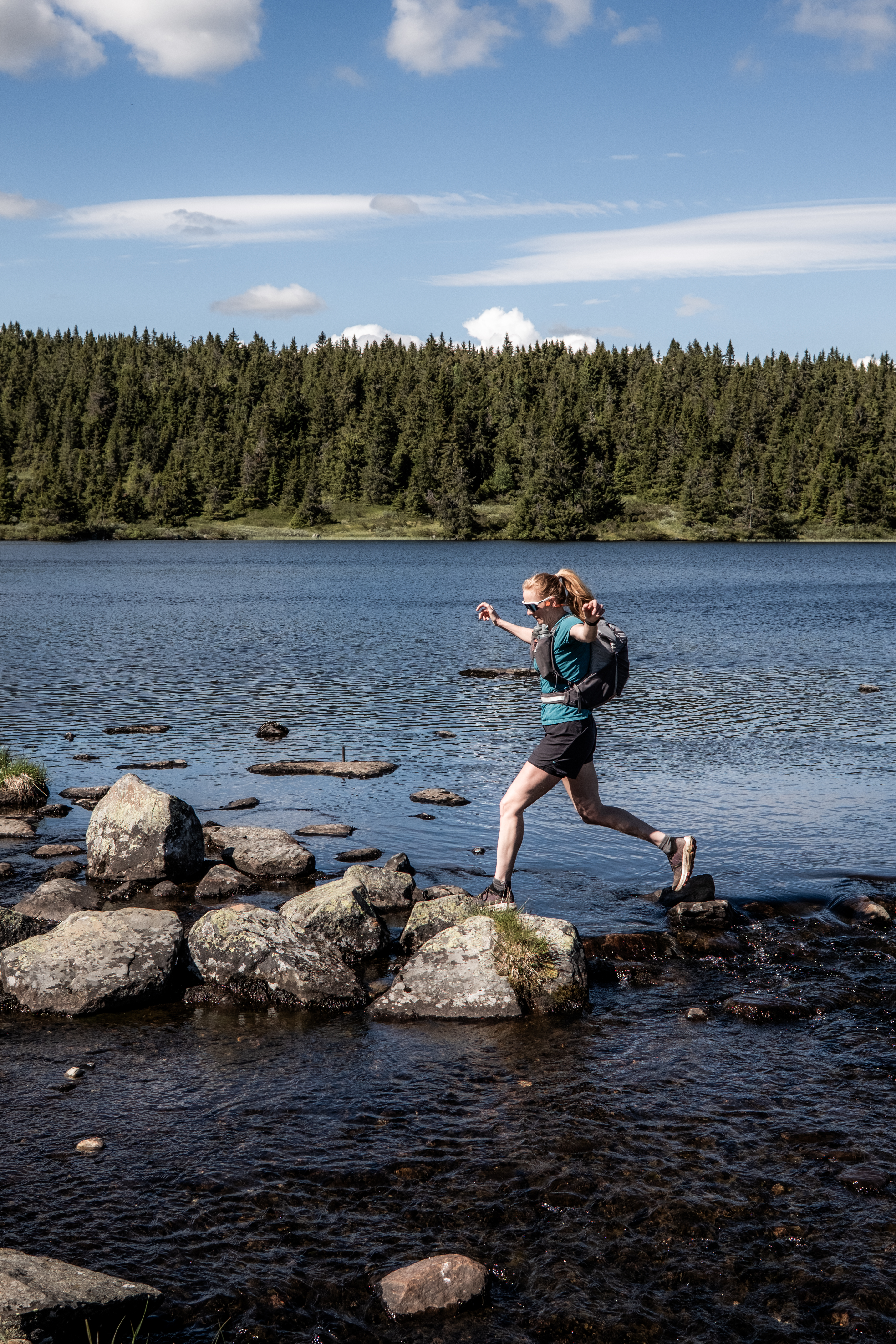
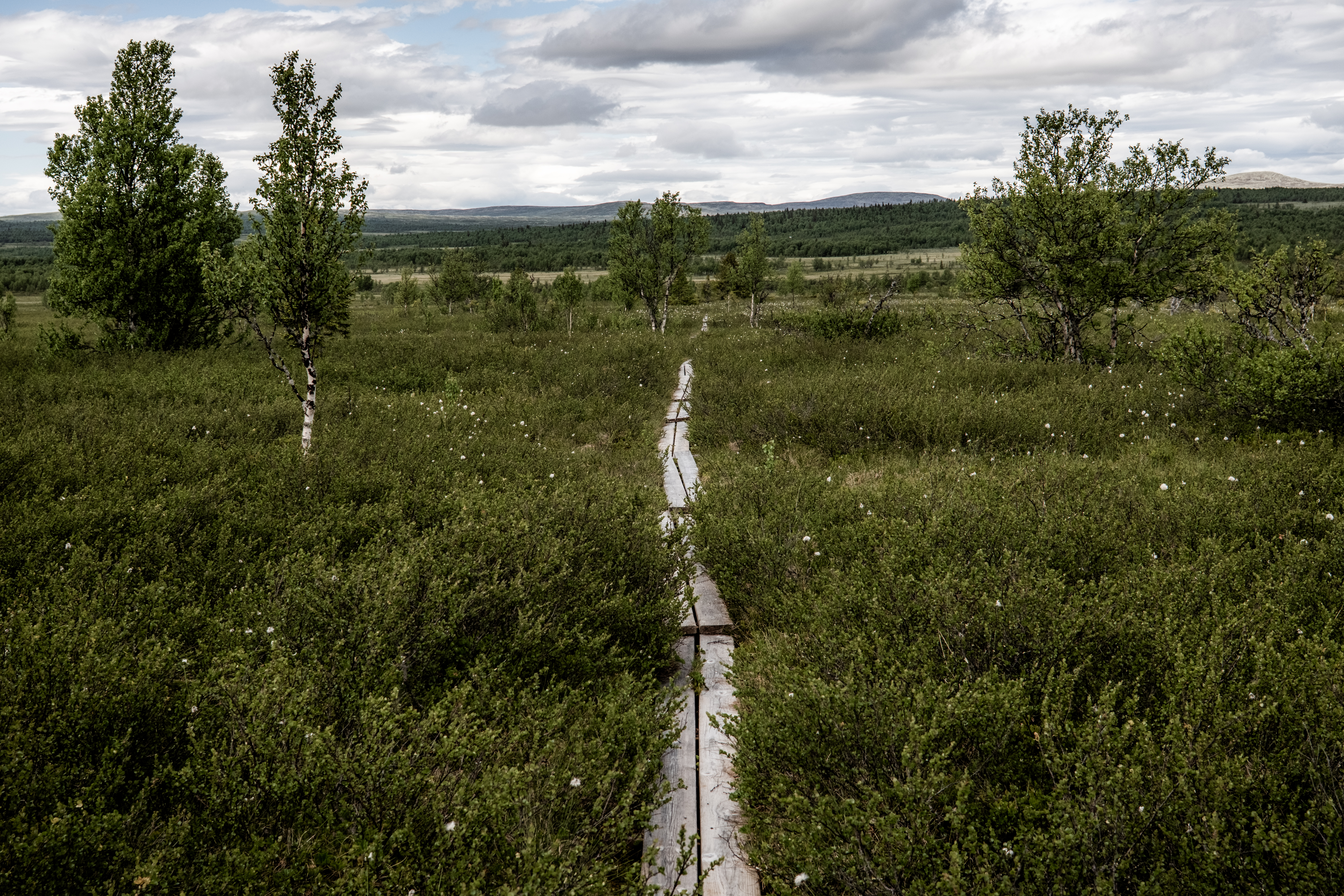
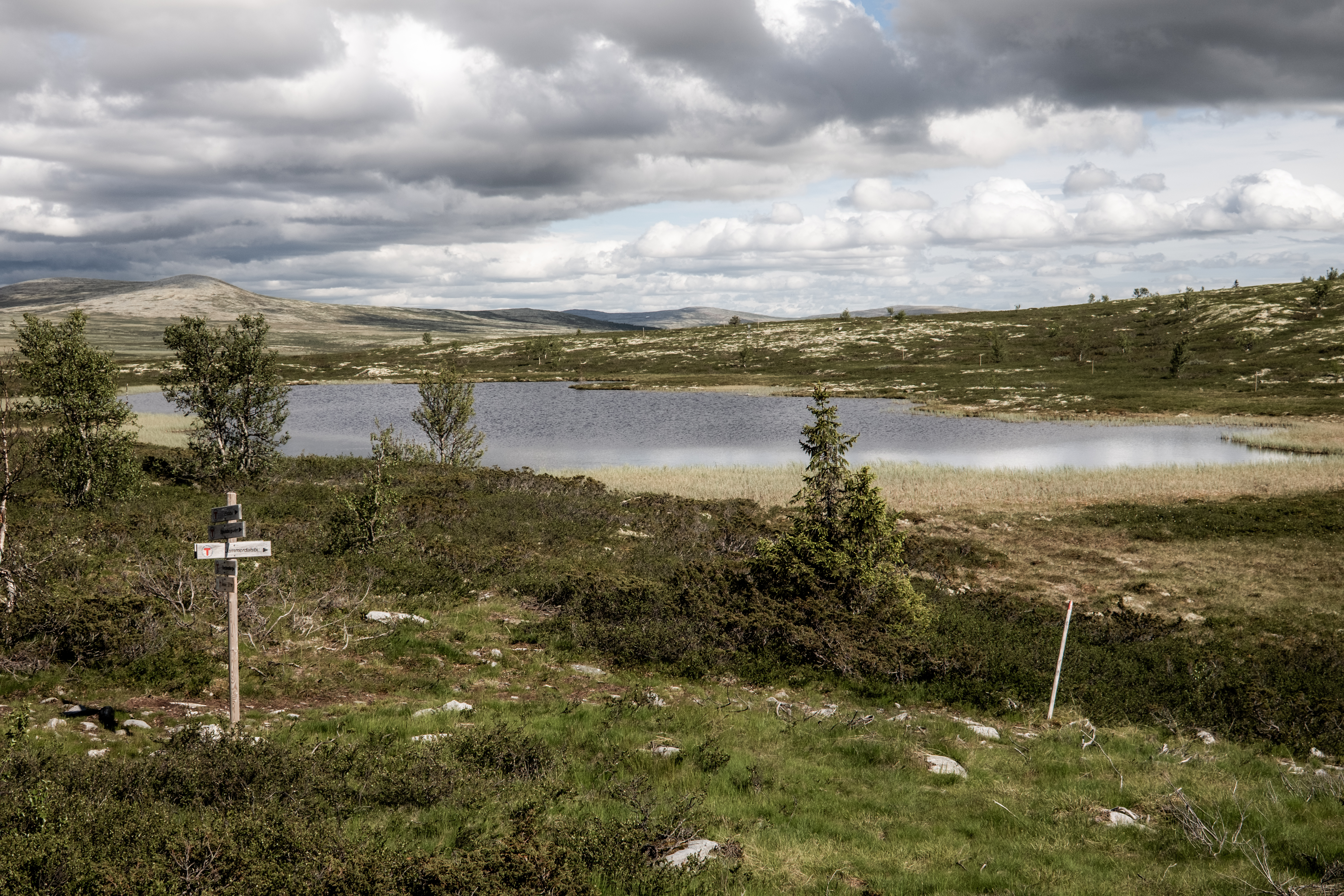
The terrain was enjoyable from the outset, rolling trails, endless mountain views, bogs (because it’s Norway) and the inevitable wooden boardwalks that become skating rinks when damp.
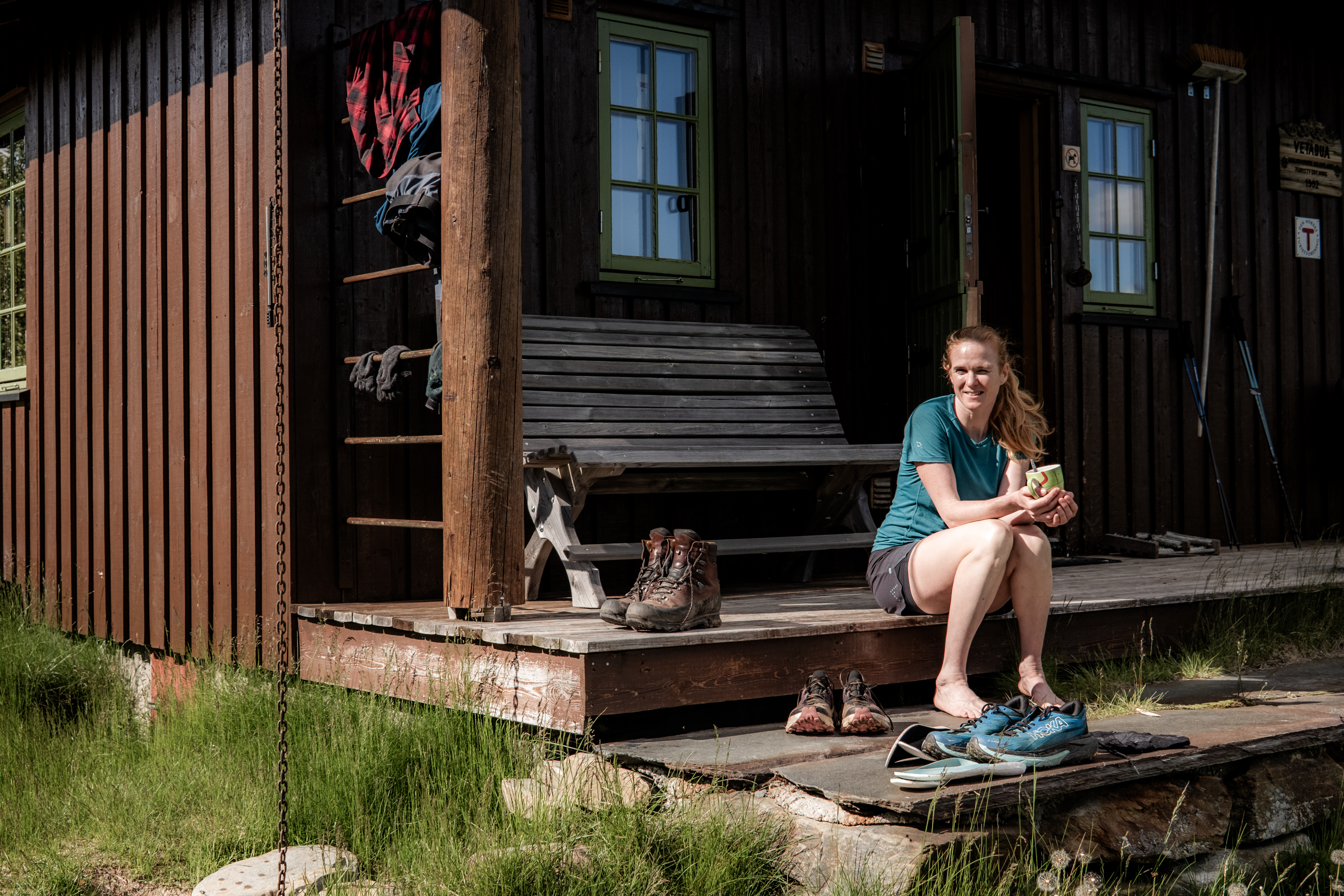
Finding Vetåbu took longer than expected. Thick vegetation hides the trail in places, and the cabin seems determined not to reveal itself until the very last moment. However, It was worth the wait.
One of the most peaceful cabins of the trip, well stocked, wonderfully isolated and even selling cold drinks and alcohol-free beer.
With only one other guest – a friendly Dutch hiker – we cooked dinner, swapped stories and enjoyed an early night.
Day 2– Vetåbu to Veslefjellbua (41.6km 978m+)
Rain arrived overnight. After breakfast, Abelone disappeared into the mist almost immediately while I settled into my own rhythm.
The rain stayed with us until Jammerdalsbu where visibility dropped dramatically for me, as thick cloud wrapped around the mountains. Extra layers went on before the climb after the cabin quickly warmed me back up.
By afternoon the clouds lifted, the sunshine returned, and the trail became pure Norwegian mountain running – rolling single track stretching endlessly ahead.
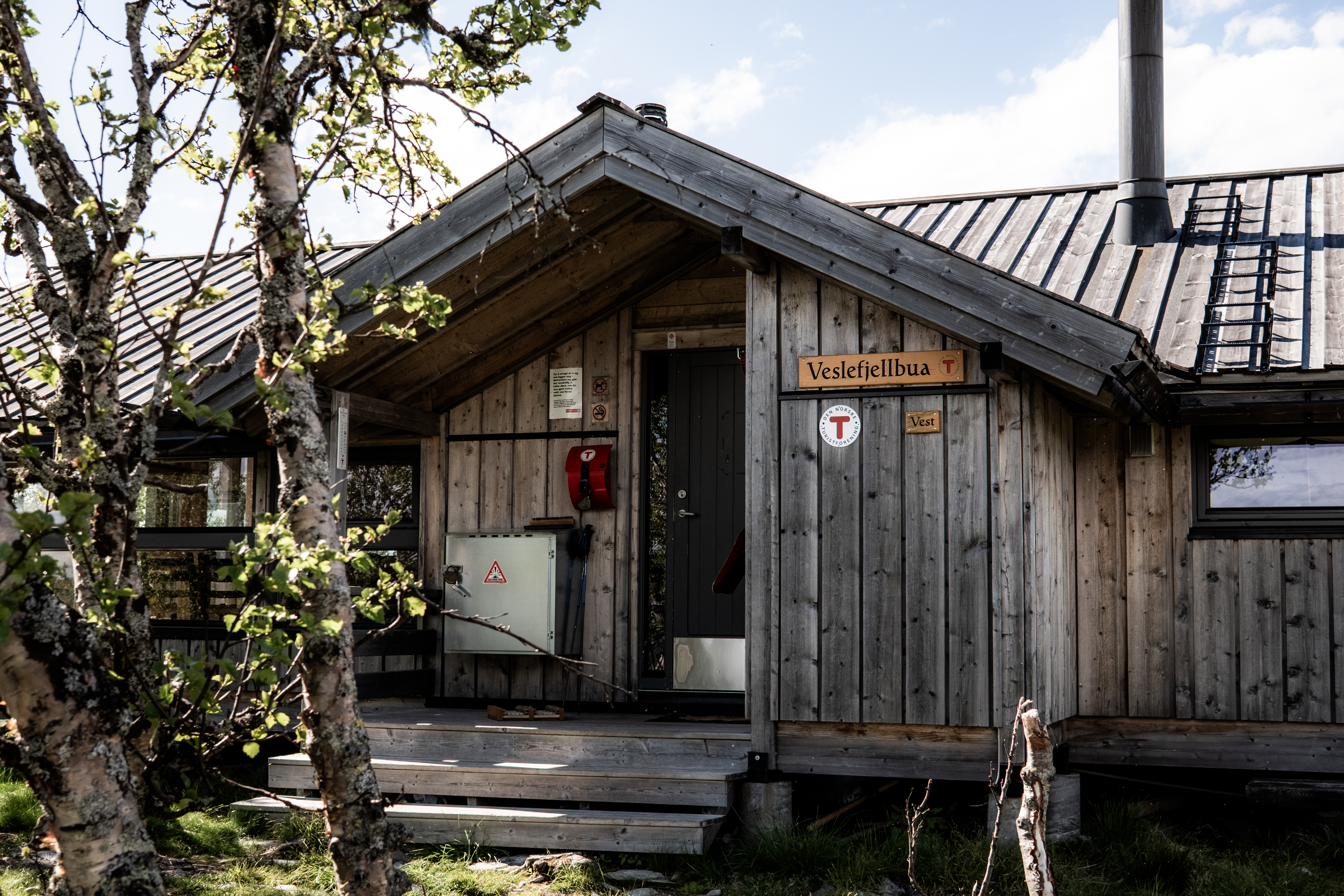
One small warning… If you think you’ve reached Veslefjellbua when you first see a cabin… you haven’t. It’s an illusion.
Pass the cabin and climb up. The real cabins sit a few kilometres further on.
Modern, comfortable and surprisingly quiet, we shared another peaceful evening with just three other walkers.
Day 3– Veslefjellbuato Bjørnhollia (34.5km 956m+)
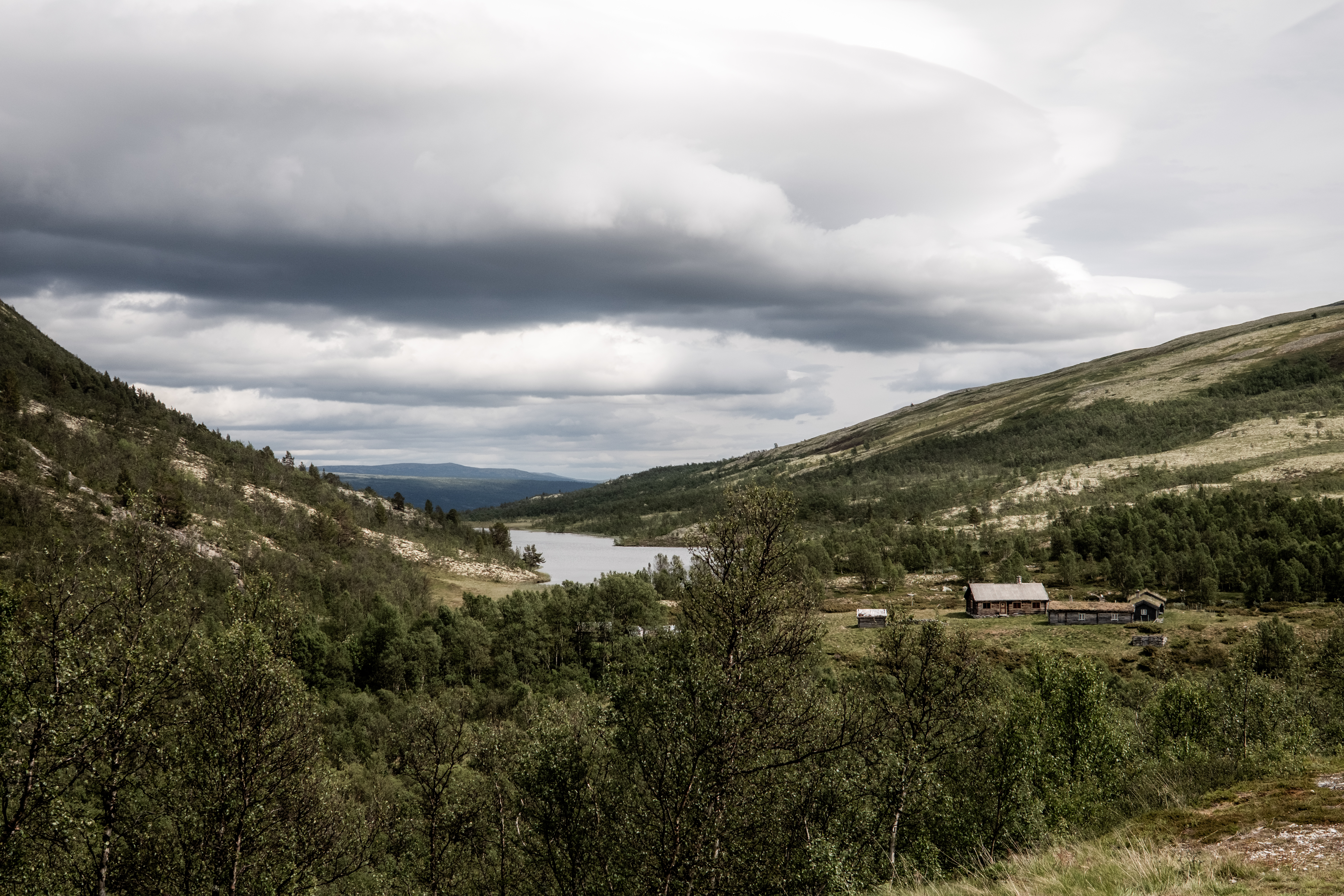
This may have been my favourite day. The landscape constantly evolved. The terrain never became repetitive. Every few kilometres brought something different.
I started earlier than Abelone and held my own until around kilometre 30, I was motivated to hold on for as long as possible – when Abe finally caught me, we were almost done! We shared a smile, navigated around some cows and with the cabin insight, Abe pushed on and we finished only minutes apart after another satisfying day in the mountains.
Sometimes moving separately somehow made finishing together even more rewarding.
Waffles, cake, hot chocolate – what a way to recover from a good day. After two nights in unserviced cabins, today was a shower day – what a treat! An excellent dinner and we were both in bed early.
Day 4–The Disaster Day (30.85km 1,859m+)
Every long journey needs a story you’ll laugh about afterwards. This was mine.
The plan was Bjørnhollia to Øvre Døralsæter via Rondvassbu and the magnificent ascent of Rondslottet. It was a day with the most vertical and while I had no worries about completing the day, I wanted an early start.
I was awake early, decided to miss breakfast and get on the trail. The plan was to stop at Rondvassbu and have breakfast, allowing for Abelone to close the gap and potentially we would finish together.
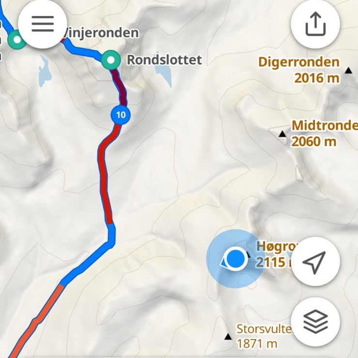
I confidently navigated myself straight up Høgronden (2,115m) climbing strong, crossing snowfields and navigating the technical terrain with some genuine happiness. But the km’s did not tally. Close to the summit, I wondered how far I had to go? I took at my GPS and boom…
…I was completely on the wrong mountain.
A genuine schoolboy error which I will forever never understand how I made the mistake.
By the time I’d realised what I’d done I’d already invested plenty of time and even more energy. Amazingly, both Abelone and I had phone reception, I made the call and sent a screenshot. Abe managed not to call me a f****** idiot BUT I knew she was thinking it… She did have genuine concern and disappointment, she understood the implication and her parting words were, take the diversion direct to Øvre Døralsæter.
I turned around, tail between my legs and pushed hard, I was thinking, ‘I can get back on track!’
what a mistake….!!!!!!
Backtracking had huge implications, I had effectively wasted 3-4 hours.
Back on the right trail, I had a decision, continue with the official SAGA route and arrive very late…
…or head directly towards Øvre Døralsæter.
I chose the latter as much as I hated to do it. But, one key thing in the mountains is making the right decisions – the trails will always be there for another day!
The distance and climbing remained almost identical, but I had missed part of the official SAGA route… I would no longer have completed SAGA exactly as intended.
Navigation. It keeps us humble.
Abelone, naturally, was very supportive but she could not wait to start the jokes – and who can blame her.
Gladly, Øvre Døralsæter was wonderful. We had our own room and believe it or not, a shower and toilet in the room. Sometimes, it’s the simple things that can mean so much.
Day 5–Redemption (33.7km 1,526m+)
I needed a good day. Thankfully, the mountains delivered. This was arguably my favourite section of the entire route, Øvre Døralsæter to Hjerkinn was stunning.
With the afternoon shuttle bus to Snøheim providing a fixed deadline, there was no time to waste. I started the day pushing the pace and at no point did I feel tired or fatigued. It was just one of those days that made me smile.
Abelone started after me but never caught me. I knew the technical terrain and climbing would give me an advantage, the pure run sections would give Abelone an advantage – I was motivated. A small personal victory that means absolutely nothing, but, after the previous day’s mistake, it felt like redemption.
The bus transfer was simple and when at Snøheim, we could have gone to the summit and completed the SAGA before dinner, but, buns and hot chocolate were just far too tempting – this after all was a Funnest Known Time!
Day 6– Snøhetta (12.32km 876m+)
Our final morning couldn’t have been more relaxed. Rather than rushing up for sunrise, we enjoyed breakfast first.
No pressure. No racing. Just another mountain to enjoy.
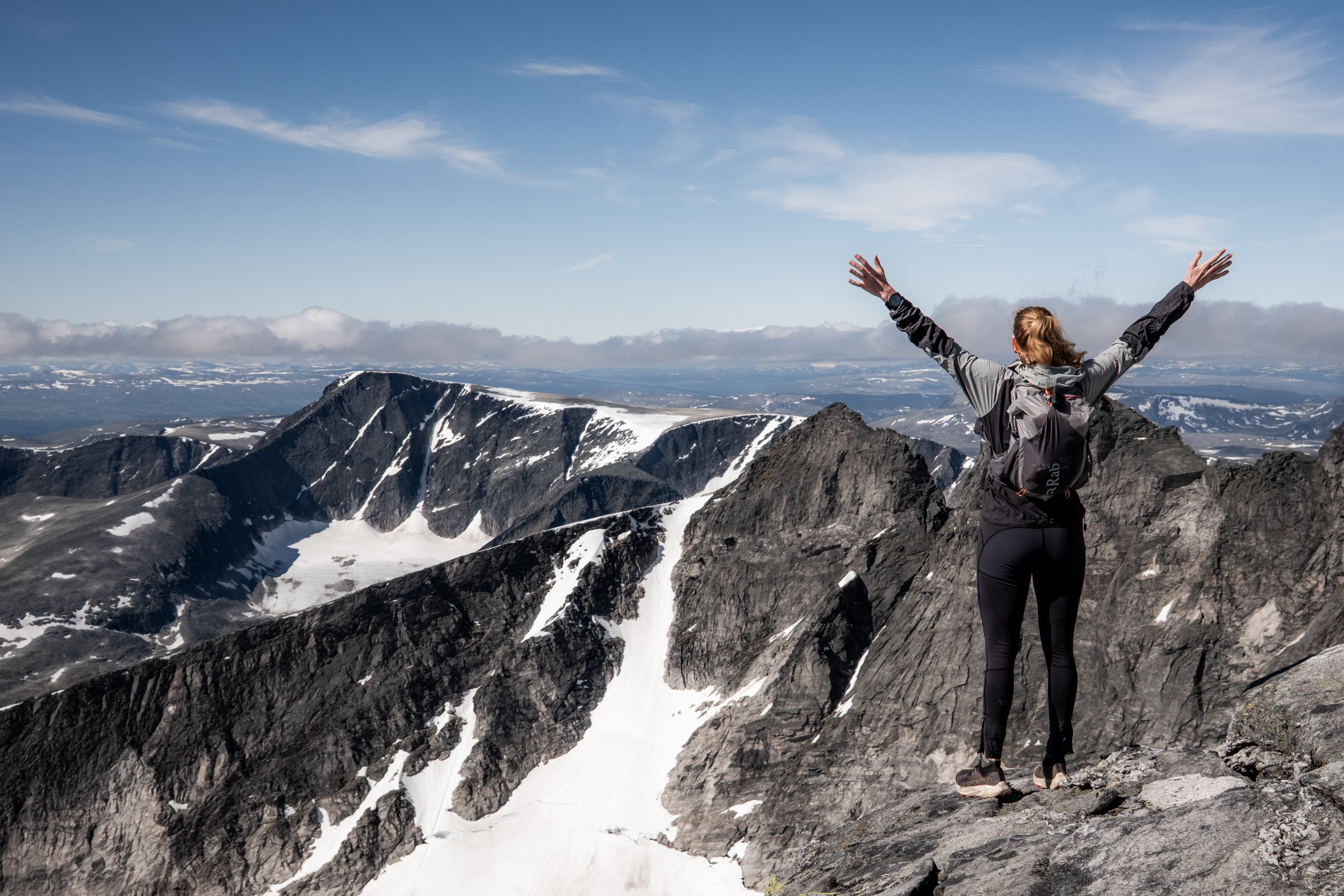
We reached the summit of Snøhetta before anyone else that morning, had the mountain to ourselves, took the obligatory photographs and soaked up the views, the quiet, the peace before descending back to Snøheim well before lunchtime.
The final climb/ descent is rocky almost all the way, with long sections of boulders requiring concentration rather than speed.
A fitting finish.
More Than a Time
We completed SAGA in 5 days and 18 hours. Well inside our goal of six days and in all honesty, we could have completed considerably quicker had that been a pure motivation.
Every day was finished in under eight hours despite covering what would normally be two days of hiking. But looking back, the time itself almost feels irrelevant. What mattered was discovering that two people don’t have to travel at exactly the same speed to share exactly the same adventure. And for those of you who ‘used’ to be a runner, just like me, dedication, commitment and motivation can extend an adventurous life with few limitations – this journey really did rekindle my fire after a very tough and troubled 18-months.
Create your own story.
Abelone ran where she wanted.
I power hiked where I was strongest.
We met at cabins, shared meals, compared stories from the day and woke each morning ready to do it all again. I like to think Abe was quietly impressed by how quickly I covered the distances. She was definitely impressed by my navigation skills on Day 4…
As always, I was impressed by her ability to absolutely love the mountains, the process, the journey and without her, this would have just been ‘another’ trip – with Abelone, this was an adventure.
“Alone, it’s just a journey. Now adventures, they must be shared.”
– Lord of the Rings
DNT encourages everyone to complete SAGA in their own way.
Some people walk SAGA over two unforgettable weeks, lingering at mountain cabins, swimming in alpine lakes and watching the Norwegian weather roll across the plateaus. Others race it, chasing the coveted Fastest Known Time.
Abelone and I wanted something else entirely. We wanted to move quickly, but never so quickly that we forgot to look around.
We wanted long mountain days, empty trails, hearty cabin dinners, plenty of laughter, and enough time to appreciate why this route has become one of Norway’s great trekking experiences.
So we invented our own challenge.
Five days and eighteen hours later, after endless mountain views, soaking rain, sunshine, cabins full of strangers who became friends, one spectacular navigation disaster, and more laughter than either of us expected, I think we found it.
And while Abelone completed SAGA exactly as intended, I somehow managed to create an entirely different story…
Which, when I think about it, is probably exactly what DNT had in mind.
The reality is that grip is one of the most misunderstood aspects of running shoes. Much like tyres on a Formula 1 car, the best outsoles are often designed to excel in very specific conditions. The more specialised the outsole, the better it tends to perform in its intended environment. The challenge comes when runners expect one shoe to perform equally well everywhere.
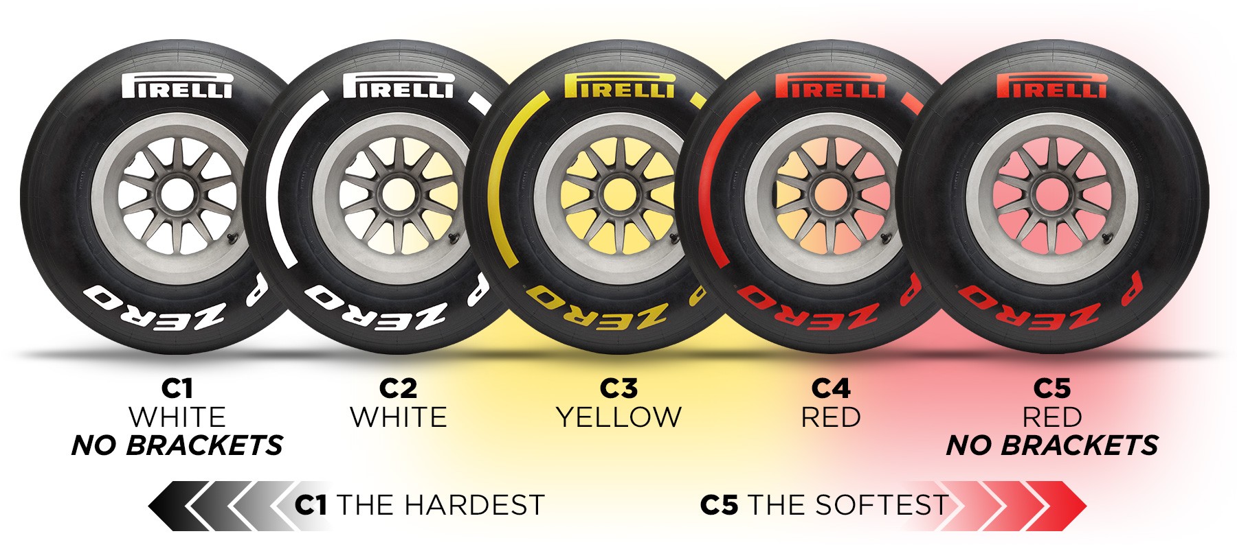
The Formula 1 Tyre Comparison
Formula 1 teams do not use one tyre for every condition. They have slick tyres for dry weather, intermediate tyres for damp conditions and wet tyres for heavy rain. Each tyre is designed with a specific purpose in mind.
Image copyright Pirelli – a wonderful example of how we should look at run shoe outsoles.
Trail running shoes are no different.
An outsole designed for muddy fell running will almost certainly perform poorly on road sections. Likewise, an outsole designed for mixed road-to-trail use will struggle when faced with steep, wet mountain terrain.
The key point is that grip is always a compromise between different surfaces, conditions and requirements. There is no universal outsole. There are only outsoles that are better suited to certain environments than others.
Grip Is Actually Two Different Things
When runners talk about grip, they are often describing two separate characteristics.
The first is friction.
This is the ability of the rubber compound to adhere to a surface. Friction is what gives confidence on wet rock, slick roots, hard-packed trails and tarmac. It is primarily influenced by the rubber compound itself.
The second is mechanical traction.
This is the ability of the outsole to bite into a surface. Mechanical traction becomes important on mud, loose gravel, soft ground, snow and wet grass. It is primarily influenced by lug design.
Understanding this distinction explains why some shoes perform brilliantly in one environment but poorly in another.
A shoe with soft, sticky rubber may feel exceptional on wet rock but struggle in deep mud if the lugs are too shallow.
Conversely, a mud-specific shoe may offer tremendous traction on a steep hillside while feeling insecure on wet slabs because the rubber compound prioritises penetration into soft ground rather than adhesion to hard surfaces.
When someone says a shoe has “great grip”, it is worth asking whether they mean friction, traction or both.
Rubber Compound: The Foundation of Grip
The first factor that determines how well an outsole performs is the rubber compound itself.
Different brands use different compounds, each balancing grip, durability and performance in varying conditions.
Generally speaking, harder rubber compounds offer:
Greater durability
Better longevity
Increased resistance to wear on road surfaces
Reduced grip on wet rocks, roots and technical terrain
Softer rubber compounds offer:
Superior traction on wet rock
Better adhesion on slick roots
Increased confidence on technical terrain
Reduced lifespan due to faster wear
This trade-off is unavoidable.
A rubber compound that delivers exceptional grip on wet mountain rock is usually sacrificing durability somewhere else.
This is why shoes that feel incredible on technical terrain may show noticeable outsole wear after extensive road use, while harder compounds may last for hundreds of miles but feel less reassuring when conditions become wet and technical.
Lug Design: More Than Just Lug Depth
When discussing grip, many runners focus solely on lug depth.
While lug depth is important, it is only one part of a much larger picture.
The following factors all influence performance:
Lug depth
Lug shape
Lug spacing
Lug orientation
Lug density
Surface area of the lug
A road-to-trail shoe may use lugs around 2-3mm deep. These provide smooth transitions onto tarmac, maintain comfort on hard surfaces and offer sufficient traction on light trails and gravel paths.
A dedicated trail shoe might use 4-5mm lugs, creating a balance between versatility and off-road performance.
Meanwhile, a fell running or mud-specific shoe may feature aggressive 6-8mm lugs designed specifically to penetrate soft ground and provide maximum traction.
However, deeper is not always better.
Large, aggressive lugs can feel unstable on road surfaces, wear more quickly and reduce overall efficiency when running on hard-packed terrain.
Directional Grip: Climbing, Descending and Cornering
Grip is not simply about moving forwards. A good outsole must provide traction in multiple directions.
When climbing, lugs need to generate forward propulsion.
When descending, they need to provide braking traction.
When traversing slopes or cornering, they need to resist lateral movement.
This is where lug orientation becomes particularly important.
Forward-facing lugs often improve climbing traction by helping the shoe bite into the ground.
Rear-facing lugs can improve braking performance on descents.
Side lugs can enhance stability when cornering or running across off-camber terrain.
Two shoes may have similar lug depths but feel completely different on technical trails because of how those lugs are positioned and oriented.
Lug Quantity: When More Isn’t Better
Another overlooked aspect of outsole design is the number of lugs used. At first glance, more lugs might seem like a positive feature. More contact points should equal more grip.
Not necessarily.
A higher number of closely packed lugs can increase surface contact on firmer terrain and improve stability. However, in muddy conditions they can become a disadvantage.
Mud needs somewhere to go.
Inov-8 Mudclaw
If lugs are packed too closely together, mud can accumulate between them and effectively create a smooth layer underneath the shoe. Once this happens, traction decreases significantly.
This is why many fell-running shoes feature widely spaced lugs. The larger gaps allow mud to be shed more effectively with each stride, keeping the outsole functioning as intended.
The best mud shoes are often those that clear mud efficiently rather than simply those with the deepest lugs.
Different Surfaces Require Different Types of Grip
One reason grip is so difficult to evaluate is that every surface places different demands on an outsole.
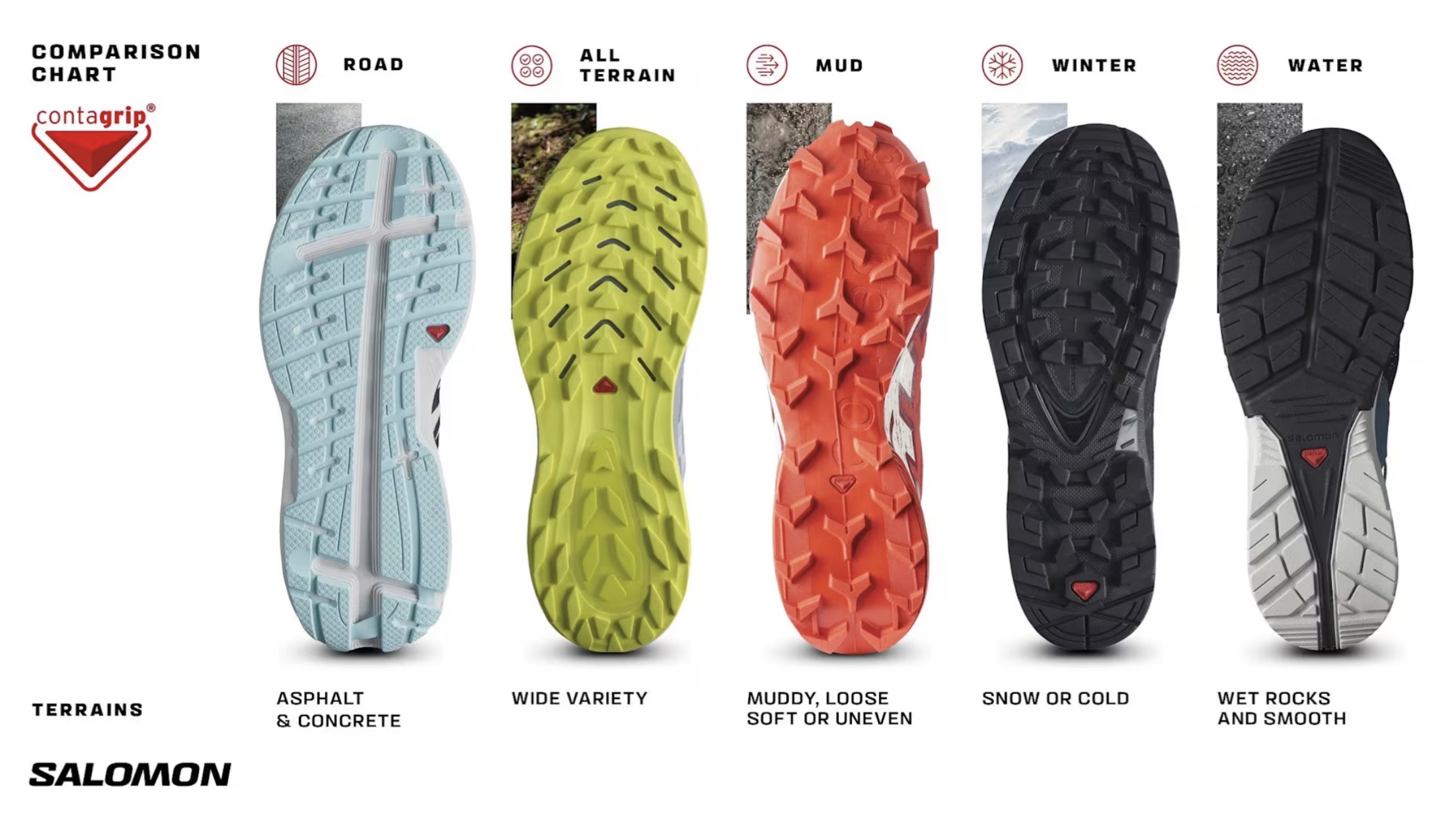
Salomon offer a good example of grip options for specific terrain – see how the road outsole is almost flat whereas the mud outsole is aggressive and spaced out – by contrast, the water outsole has large flat lugs.
Wet Rock
Soft, sticky rubber is often the priority.
Friction and size matters more than lug depth.
Dry Rock
Most modern trail shoes perform reasonably well.
Stability and confidence become more important than outright grip.
Mud
Deep, widely spaced lugs are critical.
Mechanical traction is the dominant factor.
Loose Gravel
Lug penetration and a stable platform help prevent slipping.
Forest Trails
A balanced outsole usually performs best.
Extreme lug depth is rarely necessary.
Road and Hardpack
Surface contact, comfort and durability become increasingly important.
Aggressive mud lugs can feel inefficient and unstable.
Understanding the terrain is often more useful than understanding the shoe.
Specialist Outsoles and Why They Matter
This is where specialist outsole compounds begin to separate themselves from the competition.
Many brands have invested heavily in developing their own proprietary technologies designed for specific environments.
Examples include:
adidas Continental (yes, the tyre compnay)
Scarpa Presa TRN series
Inov-8 Graphene/ STICKYGRIP and TRI-C
VJ Sport Superior Contact Butyl Rubber
La Sportiva FriXion – whites/red/blue/black and eco
Salomon Contagrip – road, all terrain, mud, winter and water
Some compounds prioritise wet-rock adhesion. Others focus on durability. Others seek a balance between the two.
Perhaps the best example is VJ Sport’s Butyl rubber. Among experienced mountain runners and orienteers, it has developed an outstanding reputation for wet-rock performance. In challenging mountain environments where confidence on slick surfaces is critical, specialised compounds such as this can provide a genuine advantage.
The key point is that these outsoles are often designed with a very specific purpose in mind rather than trying to satisfy every possible use case.
Outsole Flexibility and Ground Contact
Another often overlooked factor is how effectively a shoe maintains contact with the ground. Even the most aggressive outsole can only generate traction if it is actually in contact with the surface beneath it.
On uneven trails, rocky terrain and technical mountain ground, some shoes are able to conform more effectively to irregular surfaces, allowing more of the outsole to engage with the terrain.
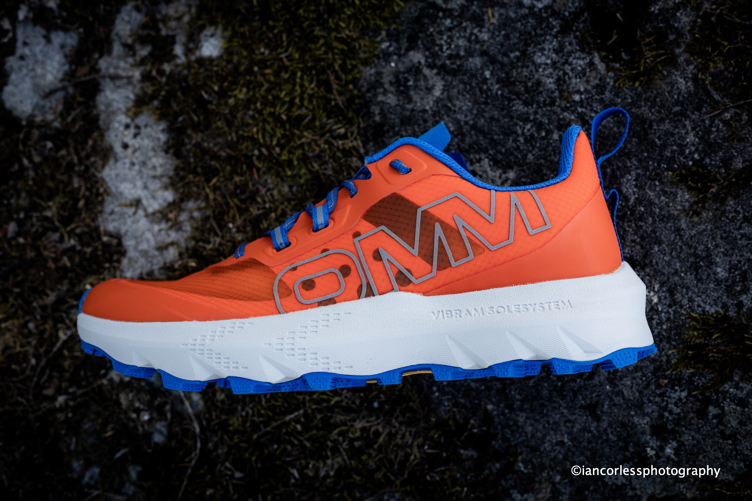
OMM Wave Geometry increases surface contact area with irregular ground.
However, flexibility is not always the answer.
A stiffer shoe may provide greater precision, protection and confidence on rocky terrain. Many mountain-running and approach-style shoes deliberately use stiffer platforms because they allow runners to edge more effectively on uneven surfaces.
Ultimately, grip improves when the shoe maintains effective contact with the terrain, whether through flexibility, torsional compliance or structural stability.
As with every aspect of outsole design, the optimal balance depends on the environment for which the shoe was intended.
The Rise of Vibram Megagrip
In recent years, one outsole has become increasingly dominant across the industry: Vibram Megagrip.
There is no doubt that Megagrip is an excellent compound. It offers an impressive balance of durability, traction and all-round performance with a pay-off on grip in wet rock conditions. It has become the default choice for many premium trail shoes for good reason.
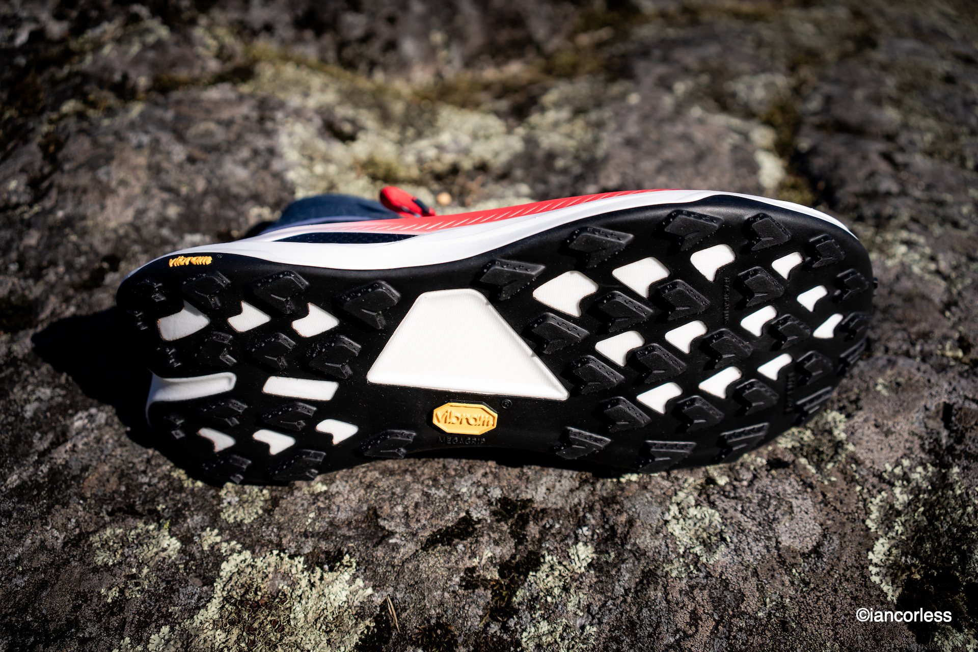
Vibram on the HOKA Tecton X3
However, the presence of Megagrip alone does not guarantee exceptional grip. Two shoes may use exactly the same rubber compound yet perform very differently in the real world.
As more brands adopt the same compound, the differences between shoes increasingly come down to how that compound is implemented rather than the compound itself.
Megagrip remains one of the most versatile options available, but it is only one piece of the overall grip equation.
Why “Good Grip” Depends Entirely on Where You Run
Consider two runners.
The first runs exclusively on dry woodland trails, gravel tracks and flowing singletrack.
For this runner, almost any modern trail shoe with a standard rubber compound and moderate lugs may provide perfectly adequate grip. They may genuinely believe their shoe offers excellent traction because it performs well in their environment.
The second runner starts on roads, moves onto forest trails, then climbs into steep mountain terrain featuring wet rocks, exposed roots and slippery technical sections.
Suddenly, grip becomes a much more demanding requirement.
What felt excellent in dry woodland conditions may feel completely inadequate when the terrain becomes steep, wet and technical.
This is why context matters.
A shoe that provides outstanding grip in one environment may be average in another.
The Search for the Perfect Outsole
The uncomfortable truth is that there is no perfect outsole.
The best grip comes when a runner can be highly specific about their needs and select a shoe built for those exact conditions.
If your running consists primarily of muddy fell races, choose a mud-specific outsole.
If your focus is technical mountain running, prioritise compounds that excel on wet rock.
If your routes combine road, gravel and moderate trails, a less aggressive and more versatile outsole may be the better solution.
The closer the outsole is matched to its intended environment, the better it will perform.
Conclusion
Grip is not a simple yes-or-no characteristic.
It is a complex interaction between rubber compound, friction, traction, lug design, lug spacing, lug depth, terrain, weather and running style.
The most specialised outsoles often provide the highest levels of performance, but only within the conditions they were designed for. Like Formula 1 tyres, they excel when used exactly as intended.
The more a shoe attempts to become a “jack of all trades”, the more compromises inevitably appear.
That said, budget must also be considered.
Running shoes have become increasingly expensive, and for many runners owning multiple pairs for different conditions is simply unrealistic. In these cases, the search for a versatile “one shoe does all” option is entirely sensible.
While such shoes may never be the absolute best in every environment, they often represent the most practical and economical choice.
Ultimately, the question is not whether a shoe has good grip.
The question is whether it has the right grip for the terrain you’re asking it to handle.
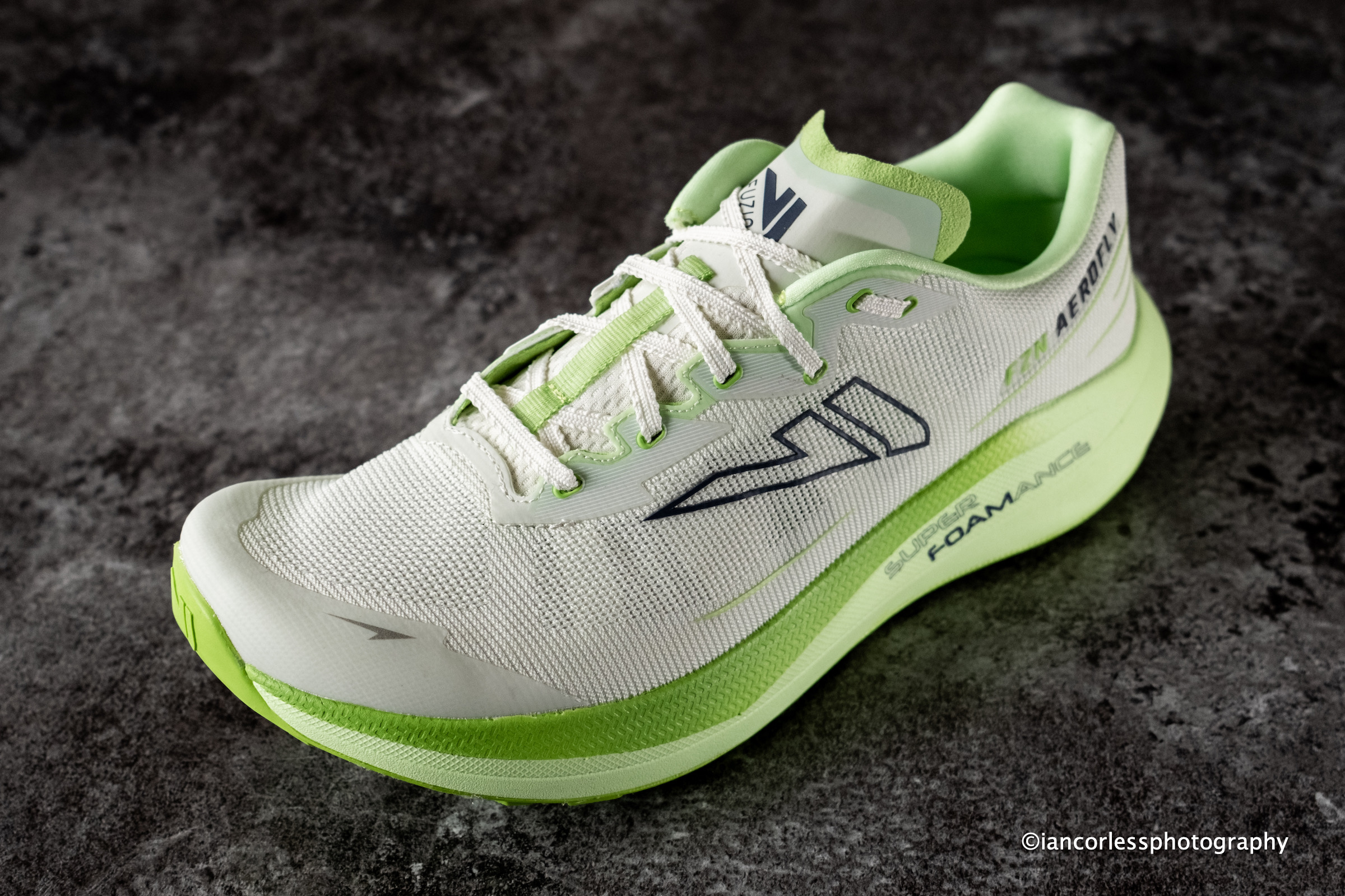
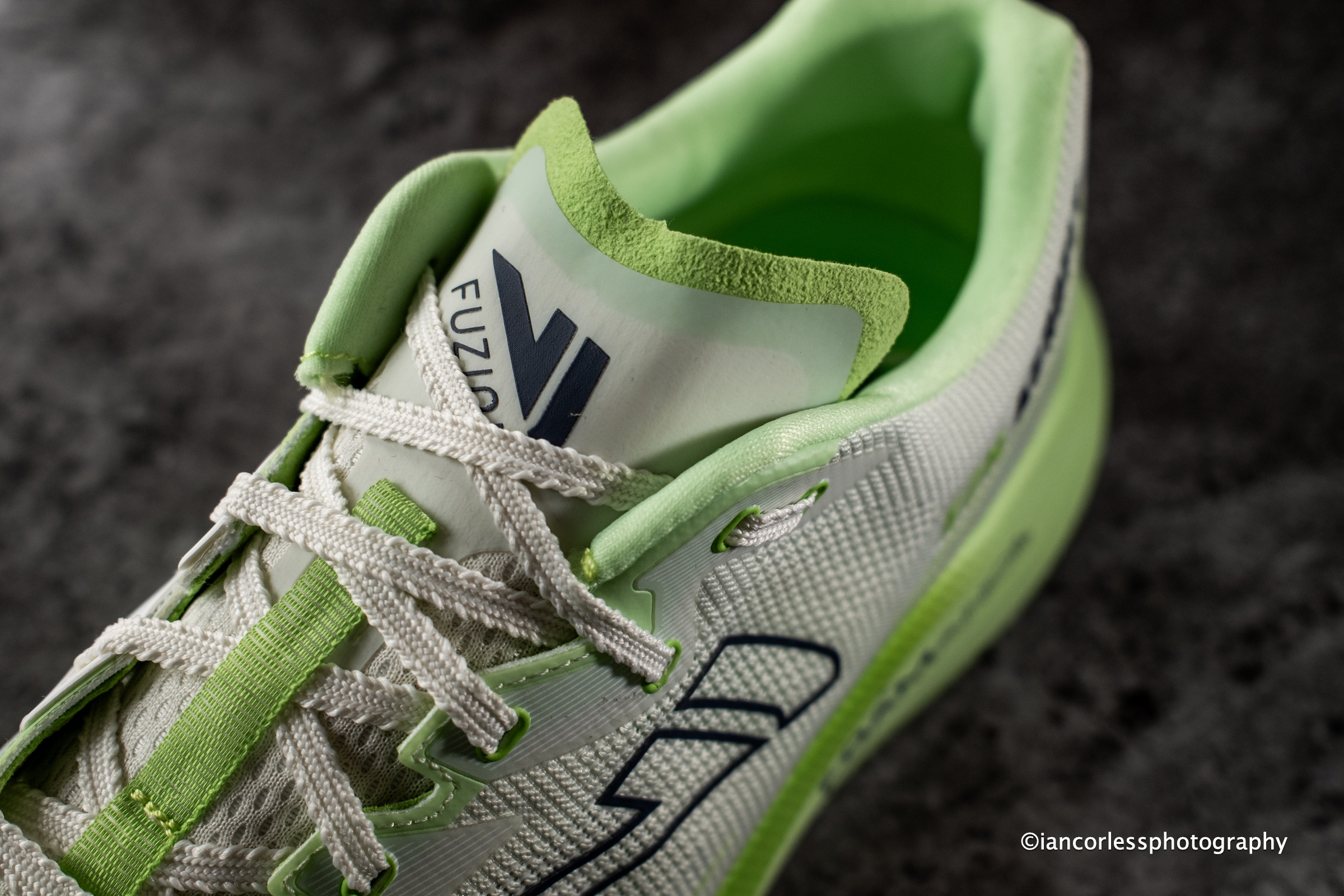
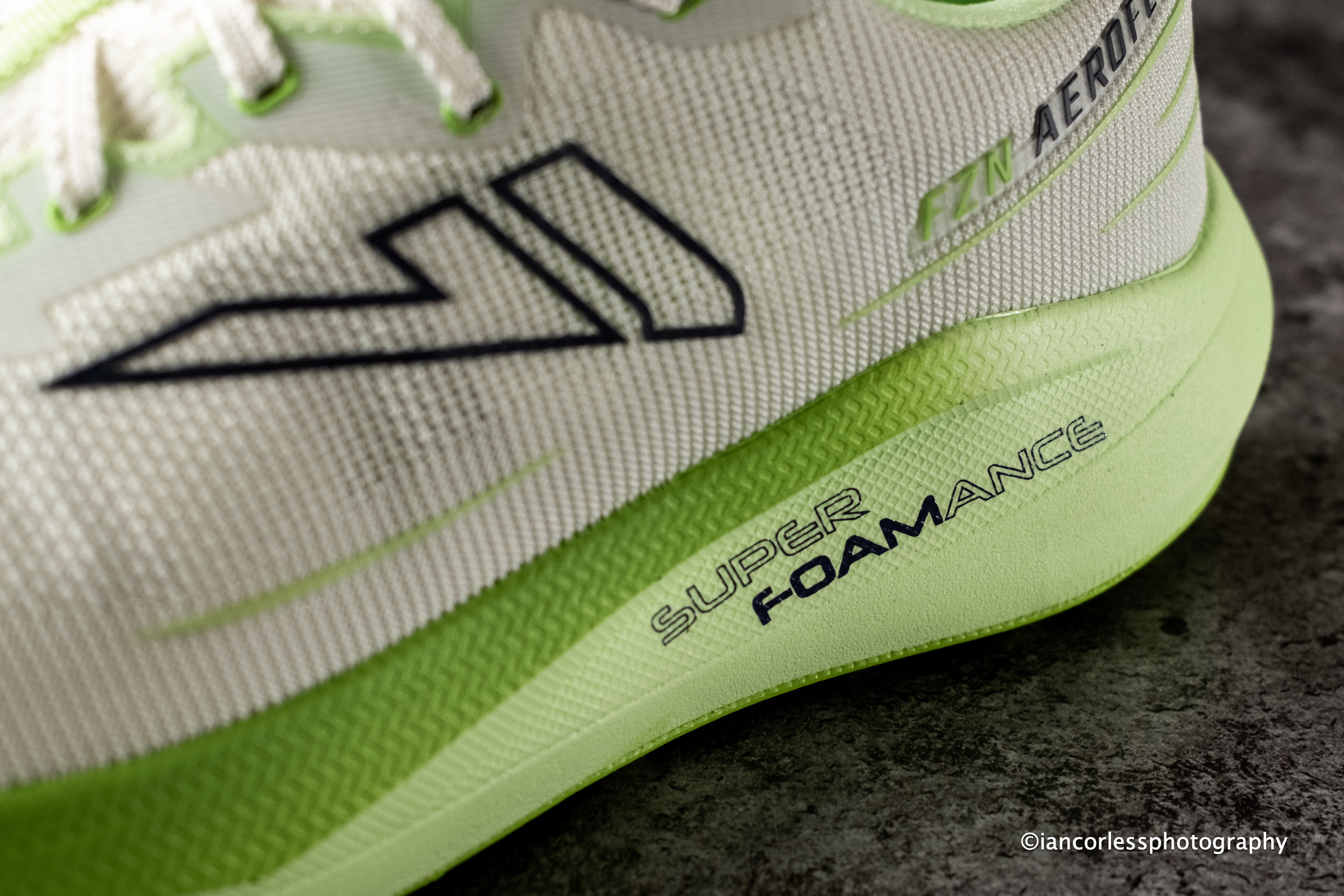
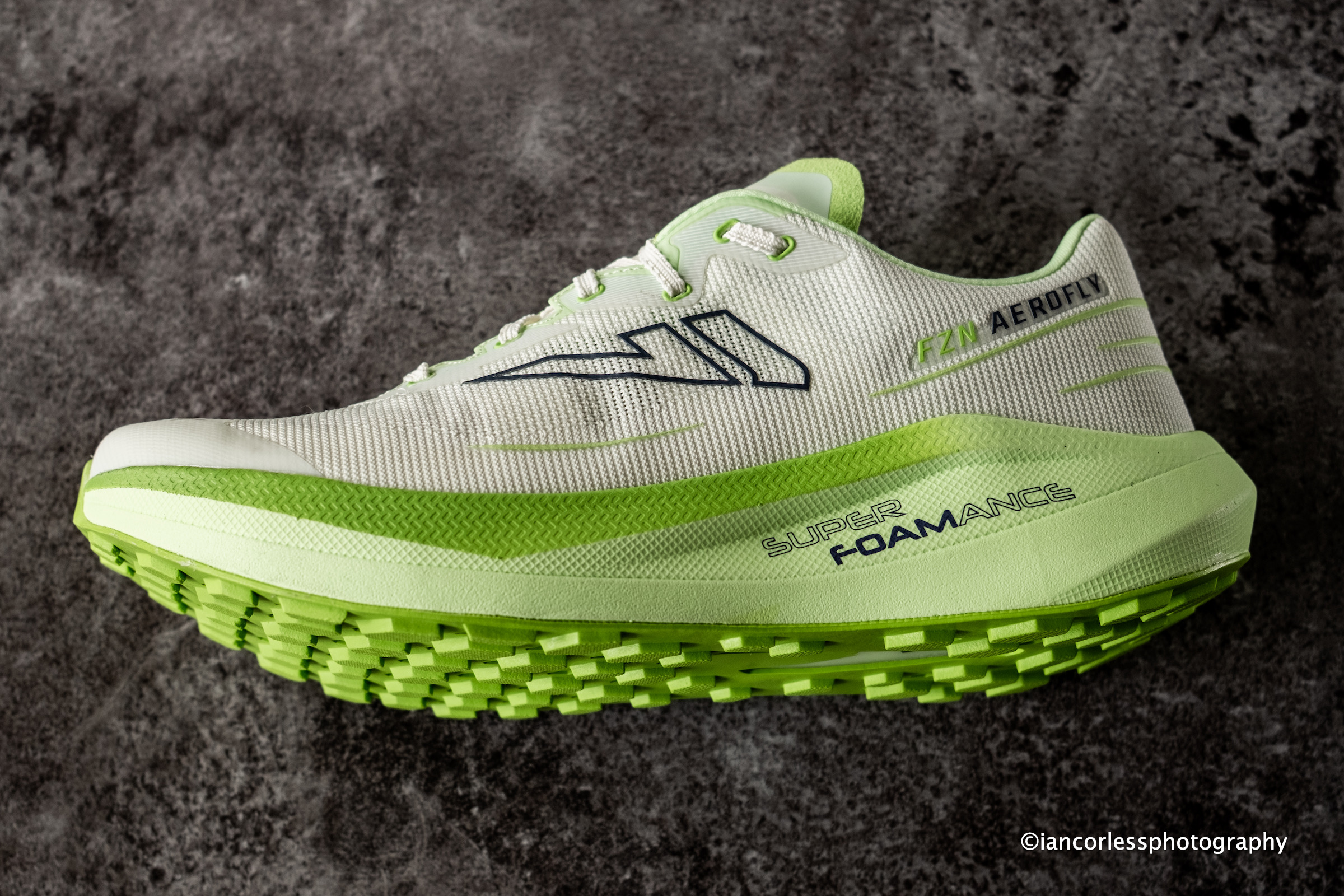
For decades, VJ Sport has built its reputation around one thing: grip. Born in the forests of Finland and forged through the demanding world of orienteering, the brand has become synonymous with shoes capable of handling some of the toughest and slipperiest terrain imaginable. With the FZN Aerofly, however, VJ takes a slightly different approach, entering the rapidly growing “door-to-trail” category with a shoe designed to seamlessly connect road, gravel, and trail running.
First Impressions
The Aerofly immediately brings back memories of the VJ Ultra 3, but it also feels surprisingly similar to a road-running shoe. The design philosophy is clear from the first run: create a highly comfortable, versatile shoe that performs equally well on asphalt, gravel roads, hard-packed trails, and mixed-surface adventures.
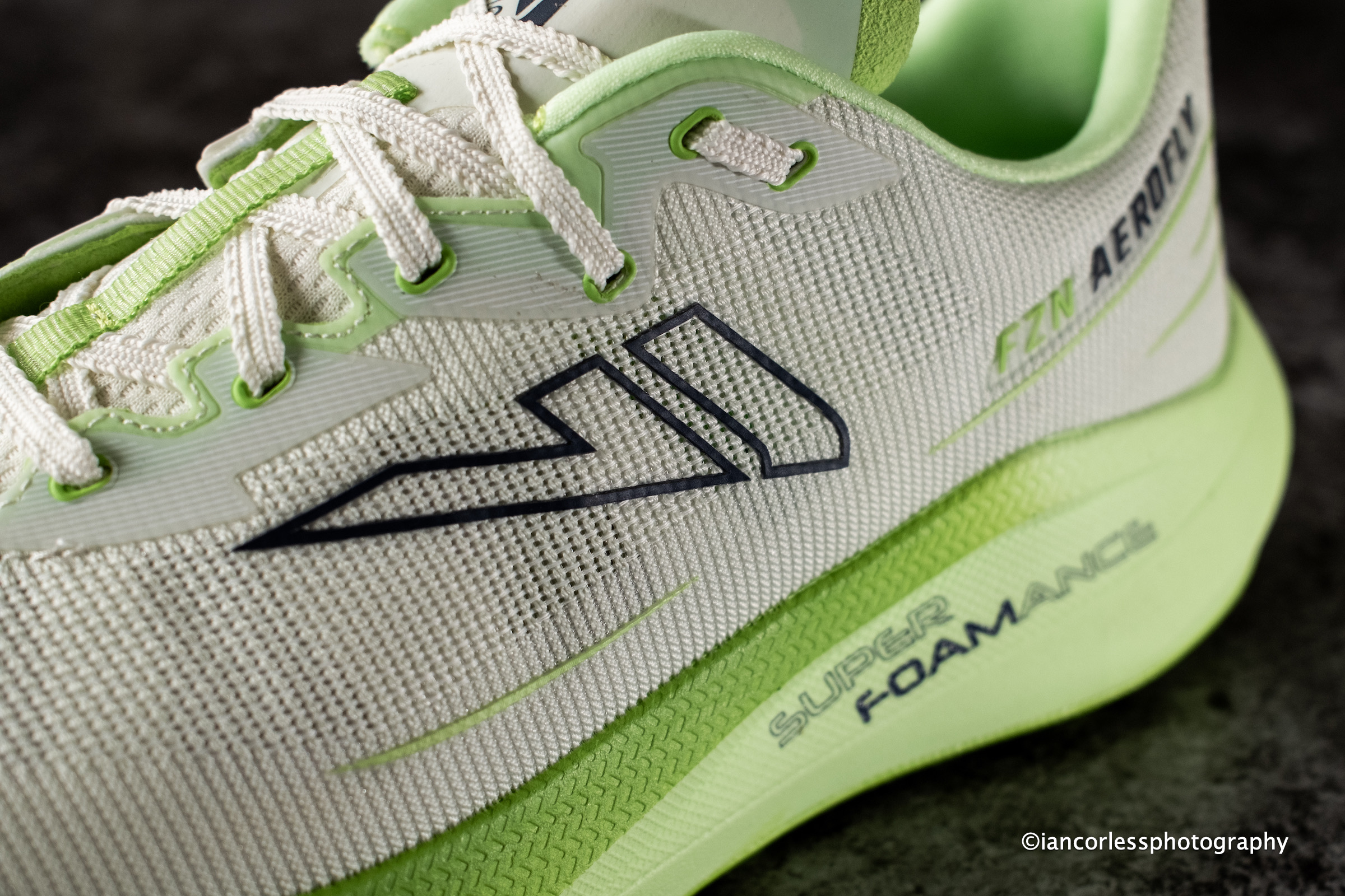
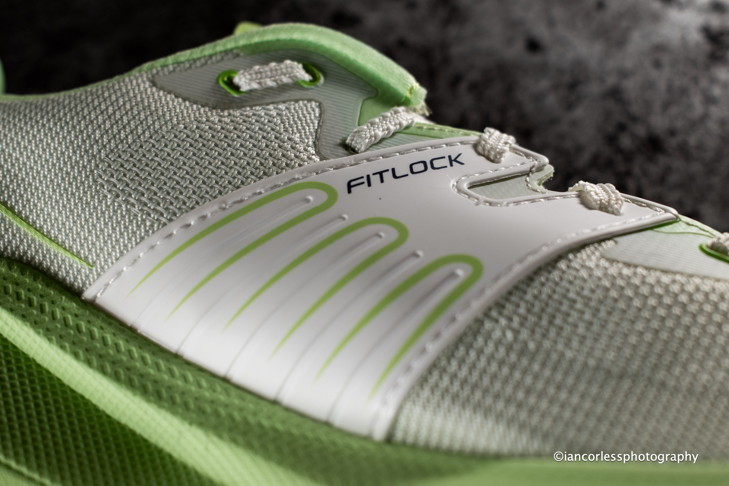
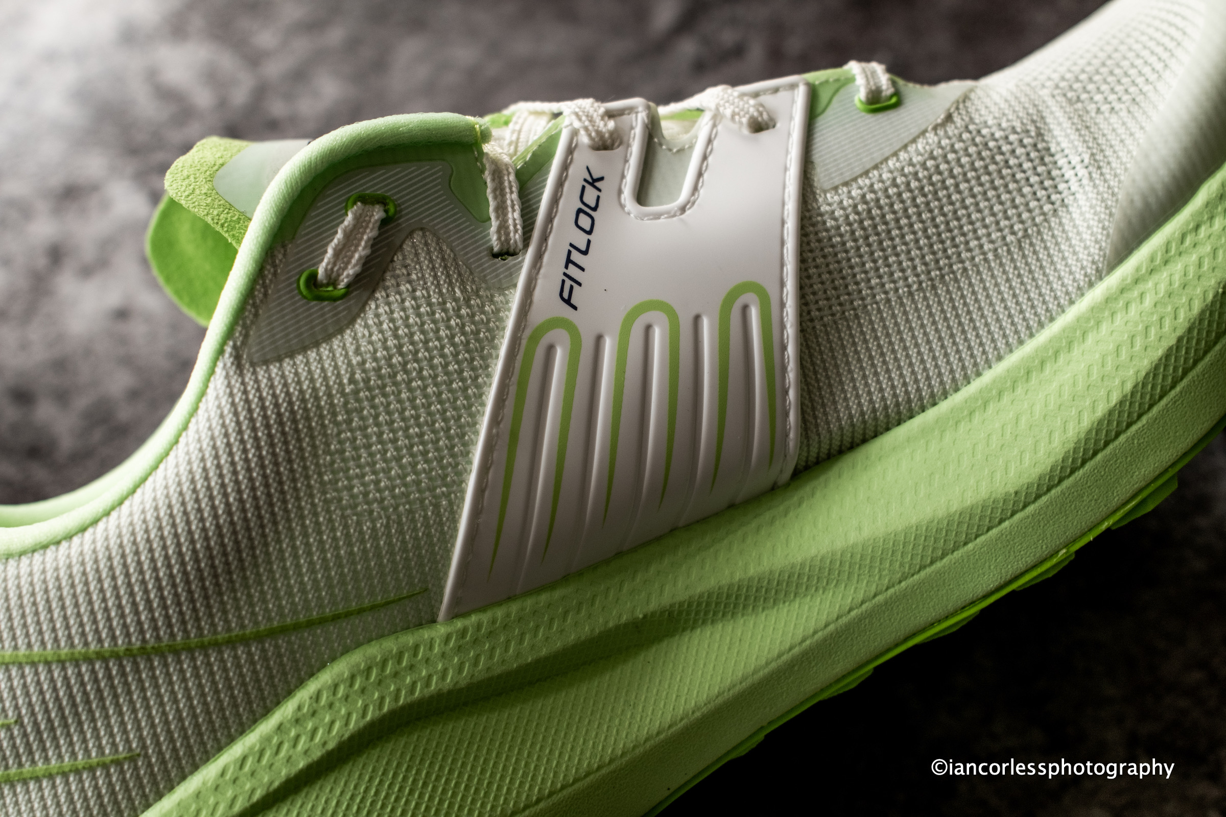
The upper features VJ’s Multizone Engineered Mesh, delivering excellent breathability while maintaining a secure and supportive fit. Combined with the brand’s proven Fitlock system,
The shoe wraps confidently around the midfoot, providing stability without feeling restrictive. I have siad this many times before, and I will say it again, Fitlock really does give the best foothold!
The heel is well cushioned and supportive, contributing significantly to the shoe’s long-distance comfort and there are no irritation points – early MAXx2 and Ultra 3 had this.
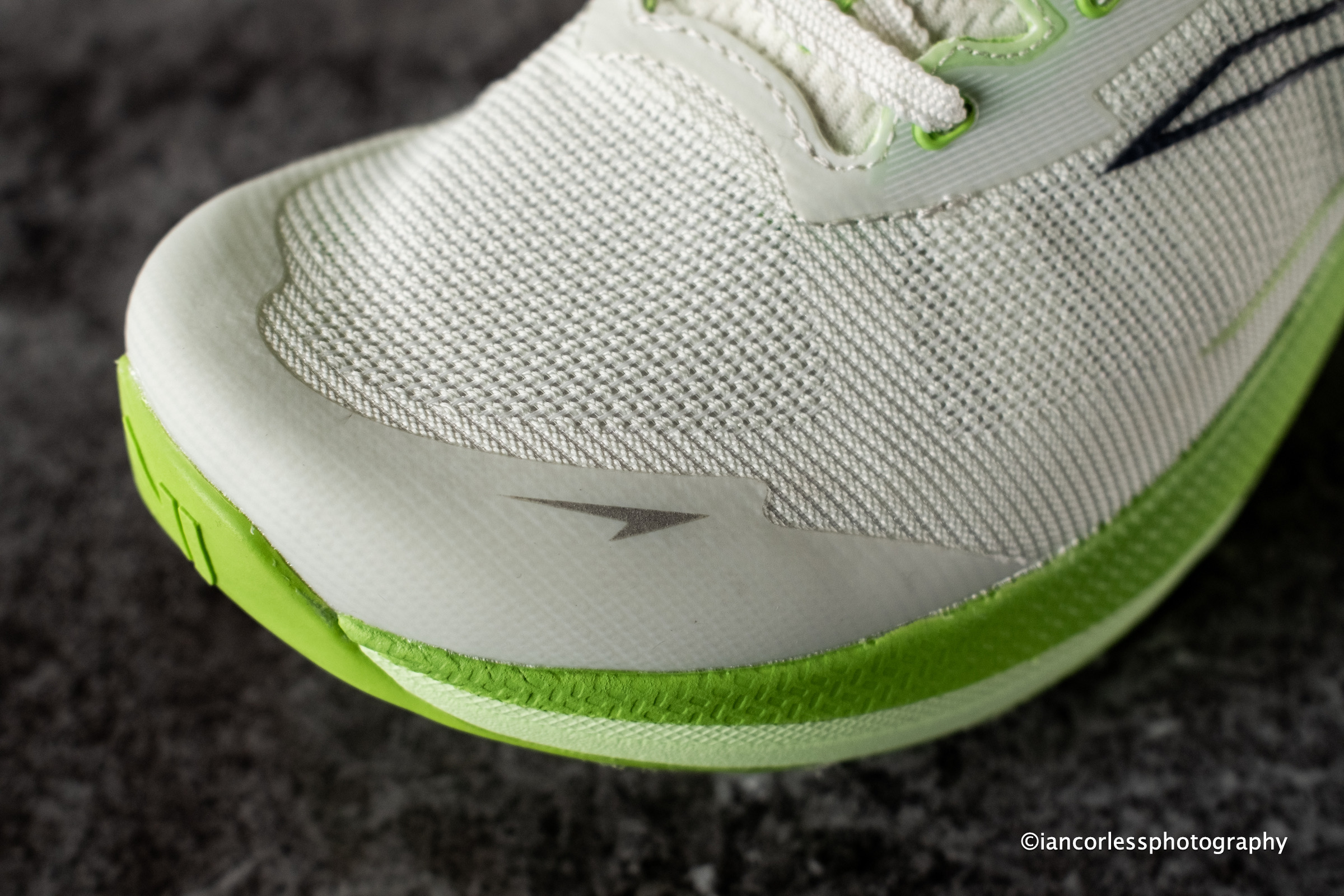
The toe box is generously sized, allowing the toes to spread naturally during longer runs, while reinforced protection around the front of the shoe guards against accidental encounters with rocks and roots.
Ride and Performance
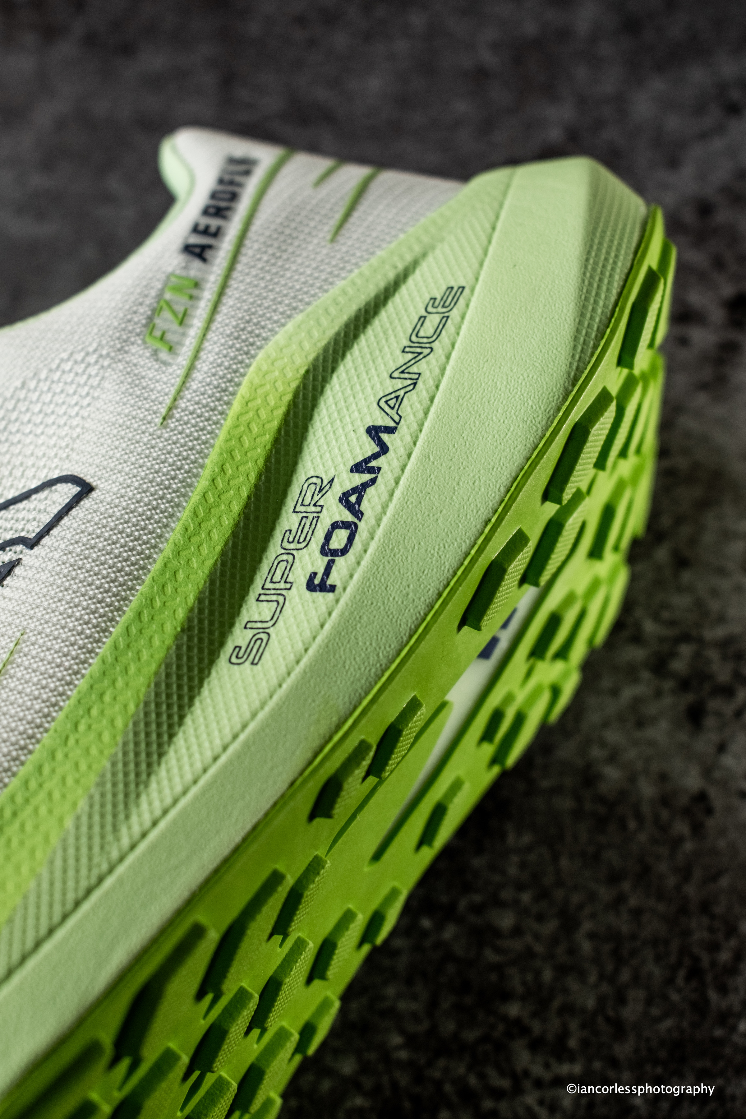
VJ’s SuperFOAMance™ midsole – a nitrogen-infused foam delivers a highly cushioned yet energetic ride that feels remarkably smooth and lively underfoot. This has appeared in the MAXx2 and the Ultra 3 and it has been a game changer.
Aerofly isn’t designed as a race-day weapon or interval specialist, that role belongs to the more performance-focused sister shoe, the VJ Fuzion Tempo. However, despite its comfort-oriented design, the Aerofly never feels sluggish, the opposite. The foam provides excellent energy return, making it enjoyable on everything from easy recovery runs to steady long-distance efforts – even great when walking!
Enough softness to absorb impact during long runs and still responsiveness to keep transitions smooth and efficient. It could easily be a road shoe.
Rock Plate Done Right
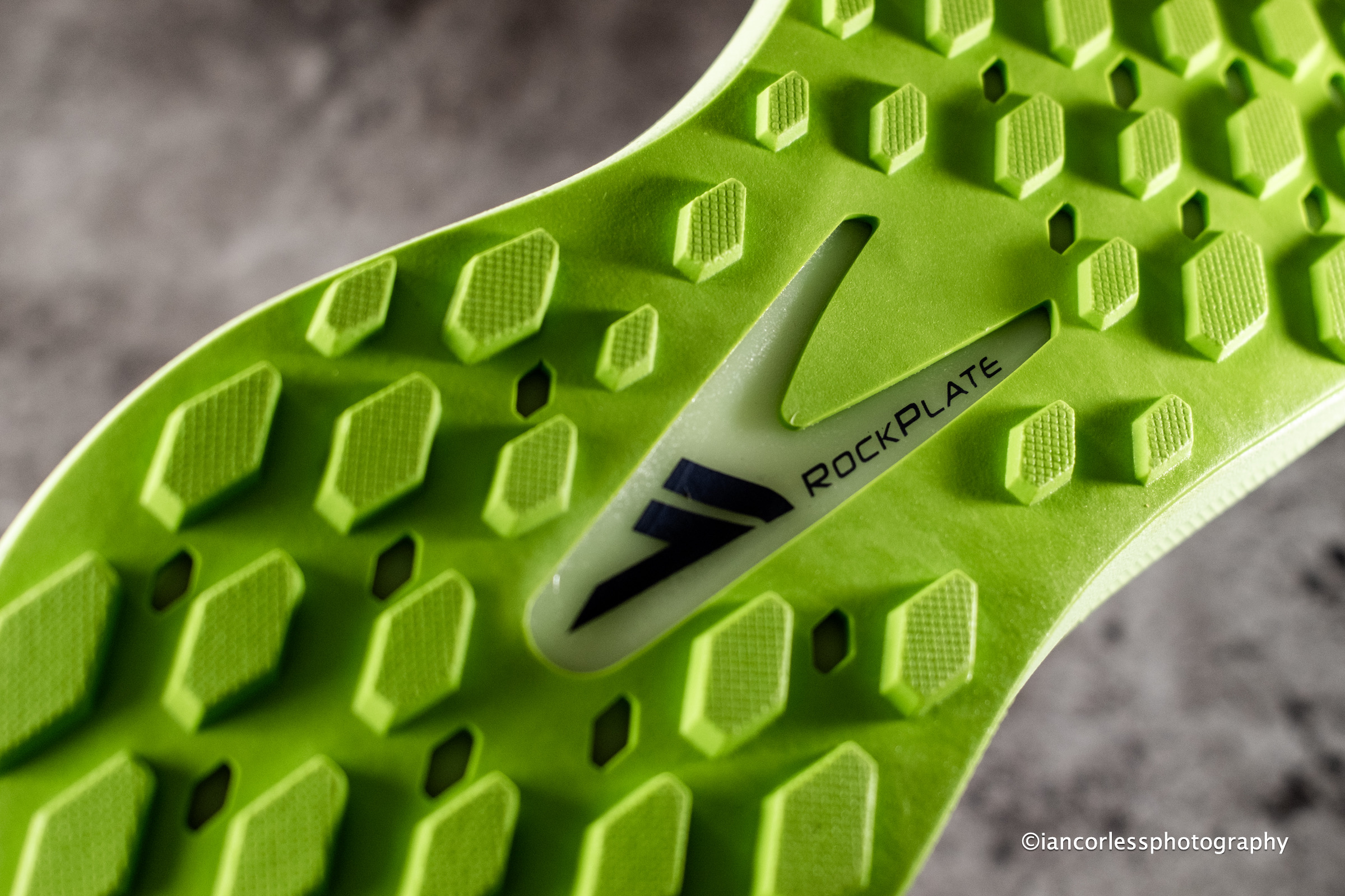
Beneath the SuperFOAMance layer sits a full-length rock plate, a feature typically reserved for more rugged trail shoes.
Its implementation here is particularly effective because it achieves three important goals:
Protects the foot from sharp stones and trail debris
Improves stability by reducing excessive midfoot torsion
Creates smoother transitions across uneven surfaces
VJ has integrated the plate in a way that complements the soft midsole, unlike some rock plates that make a shoe feel stiff or harsh, protection without sacrificing flexibility or comfort.
Outsole and Grip
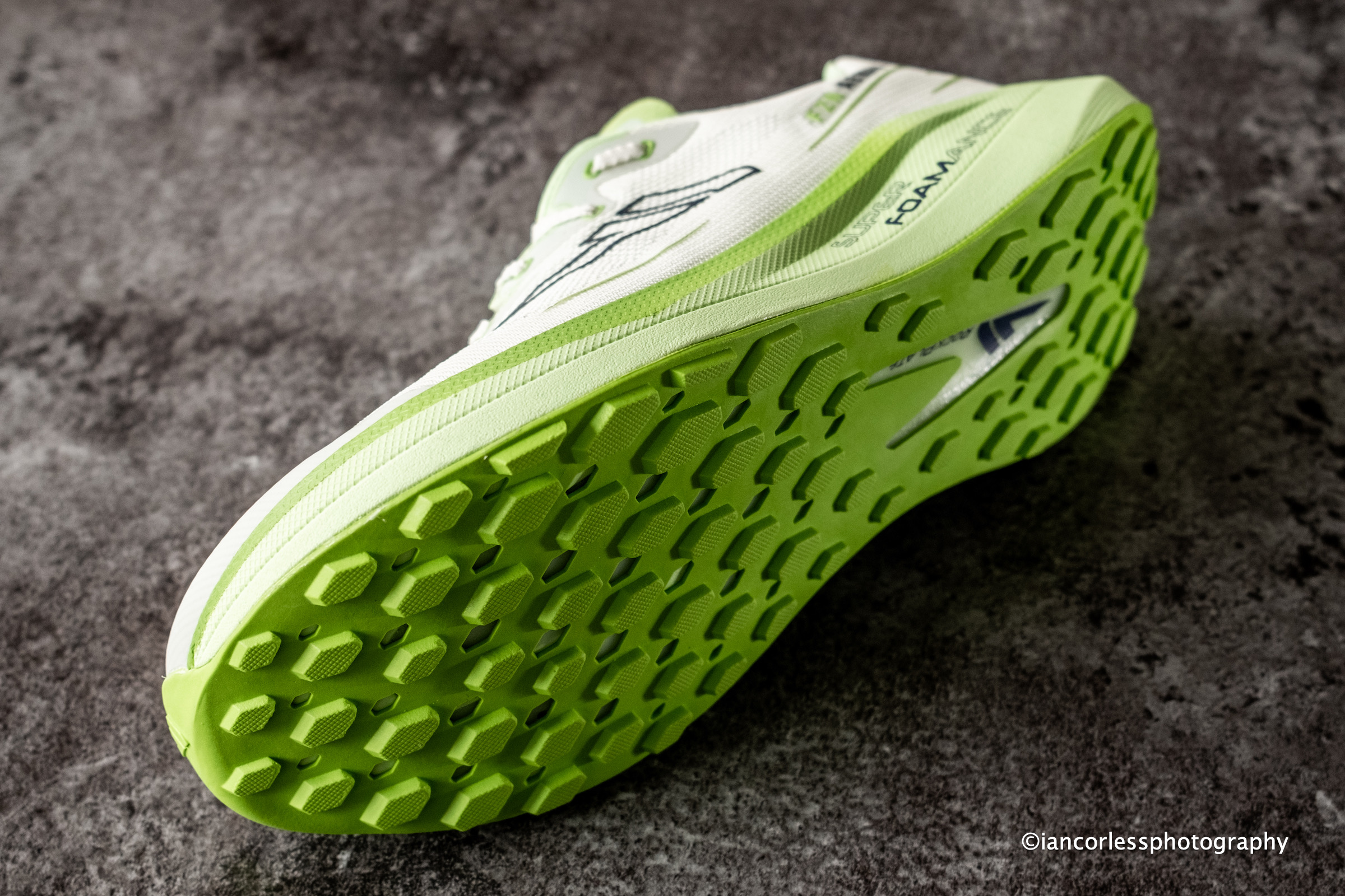
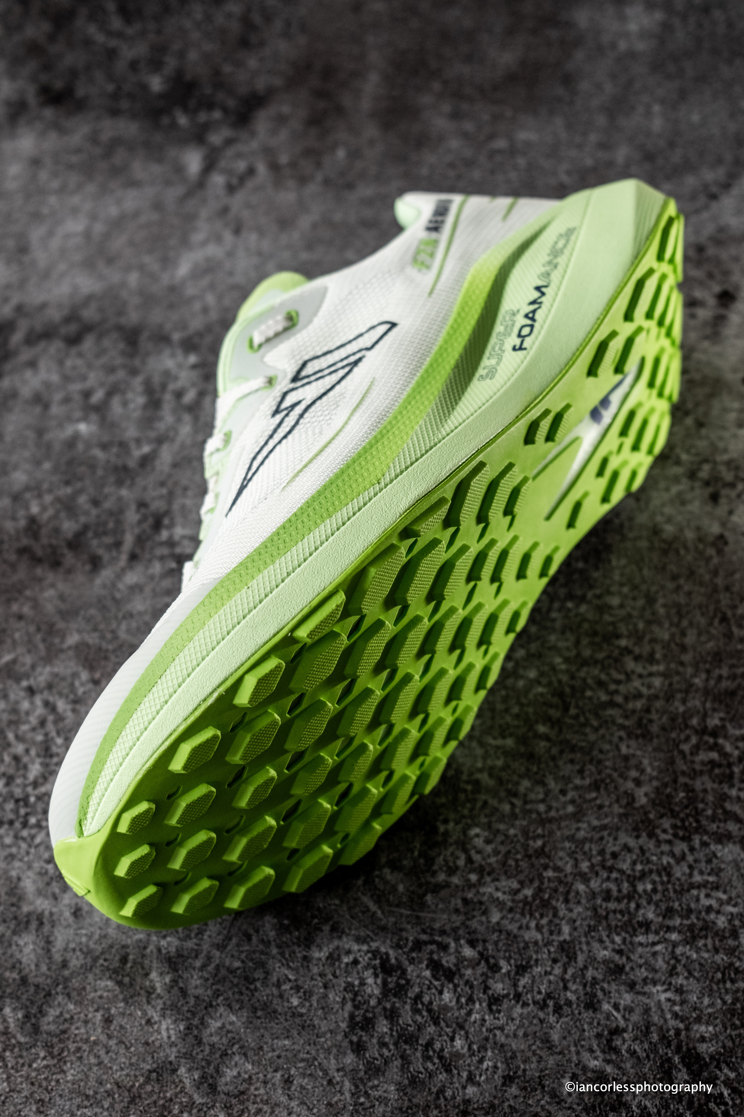
VJ’s legendary reputation is built largely on its Superior Contact outsole and butyl rubber compound, often regarded as among the best trail-running grips available.
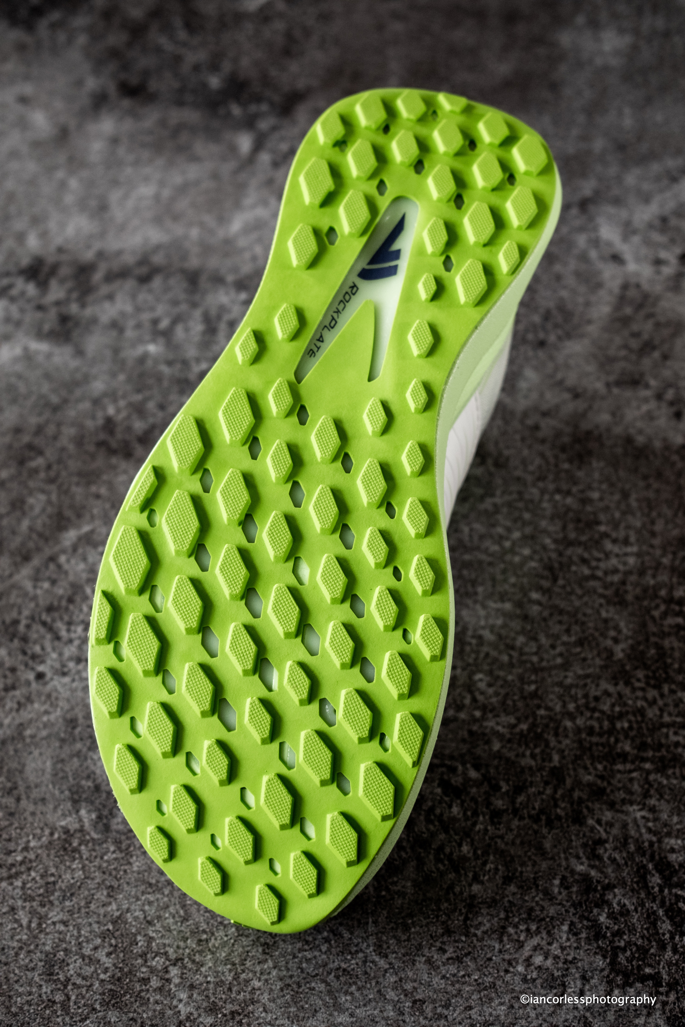
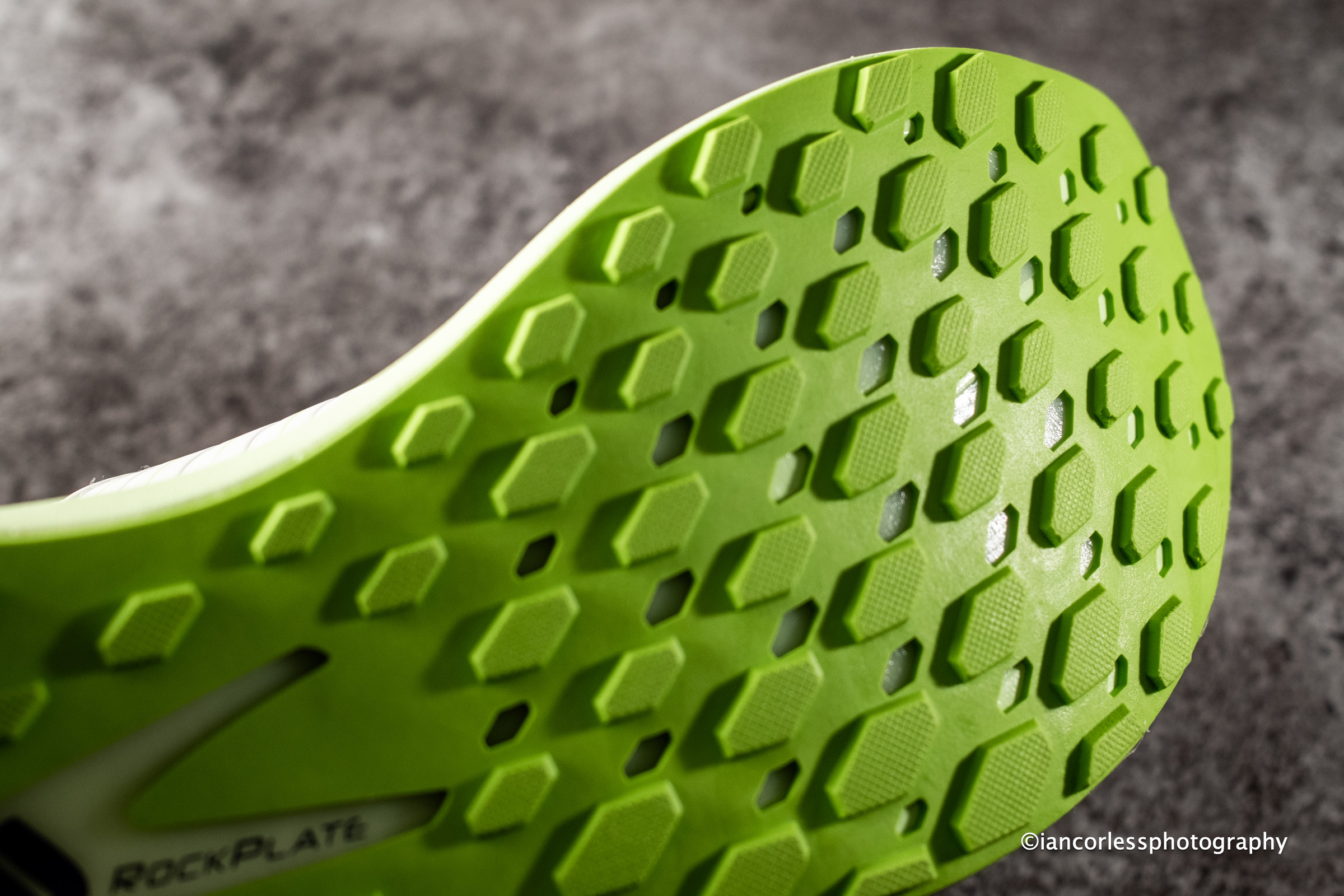
Instead of butyl rubber, VJ uses a lighter and significantly more durable Lightrubber outsole with dense 3 mm lugs. This choice reflects the shoe’s hybrid nature and while the outsole performs very well on asphalt, gravel, hard-packed trails, grass, and dry terrain the compromise becomes noticeable in wet and highly technical conditions.
During mixed-surface adventures, the Aerofly feels confident and predictable, on slick rocks and wet technical trail, the grip is not what one would expect from a typical VJ shoe – they feel much more like a Vibram.
Real-World Versatility
Whether running on city pavement, gravel roads, sandy beaches, forest paths, or moderate technical trails, the shoe feels at home. It excels in exactly the type of running many athletes actually do on a daily basis – start from the front door, covering a few kilometers of road, transitioning onto gravel or forest trails, and returning home via pavement. For runners living in urban environments who need to connect road miles with trail miles, the Aerofly may be one of the most practical options in VJ’s lineup.
Aerofly prioritizes comfort, cushioning, and versatility over outright technical performance.
Specifications
Weight: 256 g (EU 42)
Stack Height: 38 mm / 30 mm
Drop: 8 mm
Lug Depth: 3 mm
Pros
Highly breathable upper
Excellent midfoot lockdown
Nitrogen-infused SuperFOAMance™ midsole
Strong energy return
Full-length rock plate
Stable platform
Lightweight construction
Secure fit with gusseted tongue
Removable insole
Outstanding versatility across mixed terrain
Cons
Grip falls short of VJ’s best trail-specific outsoles
Less confidence on wet rocks and slippery technical terrain
Verdict
The VJ FZN Aerofly successfully bridges the gap between road and trail running. It combines road-shoe comfort with trail-shoe protection, creating a highly versatile package that excels on mixed terrain.
While it won’t replace a dedicated mountain or technical trail shoe, that’s not its purpose. Instead, the Aerofly delivers exceptional comfort, reliable protection, and enough traction to tackle most surfaces runners encounter in everyday training.
Outside of very technical and wet terrain, the Aerofly comes across as a highly versatile, comfort-focused hybrid that stays true to VJ’s performance heritage while appealing to a much broader audience of runners.
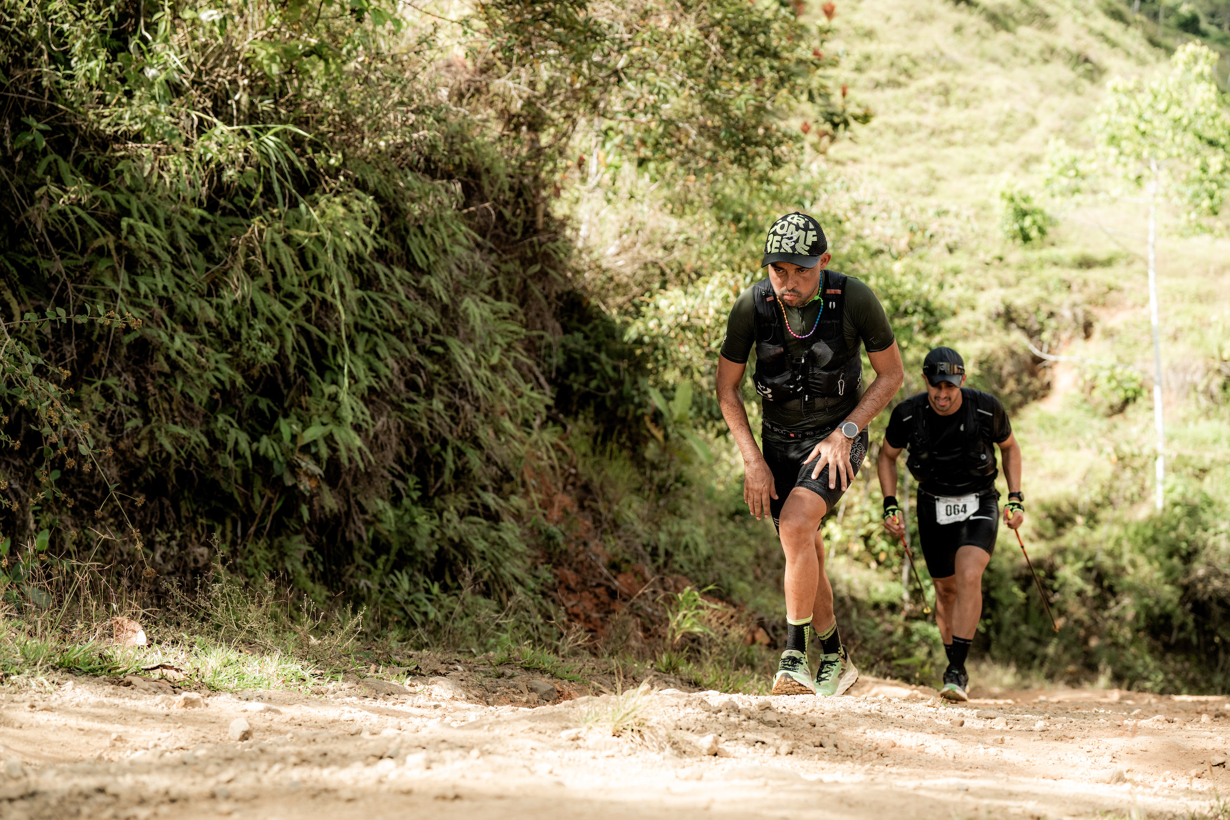
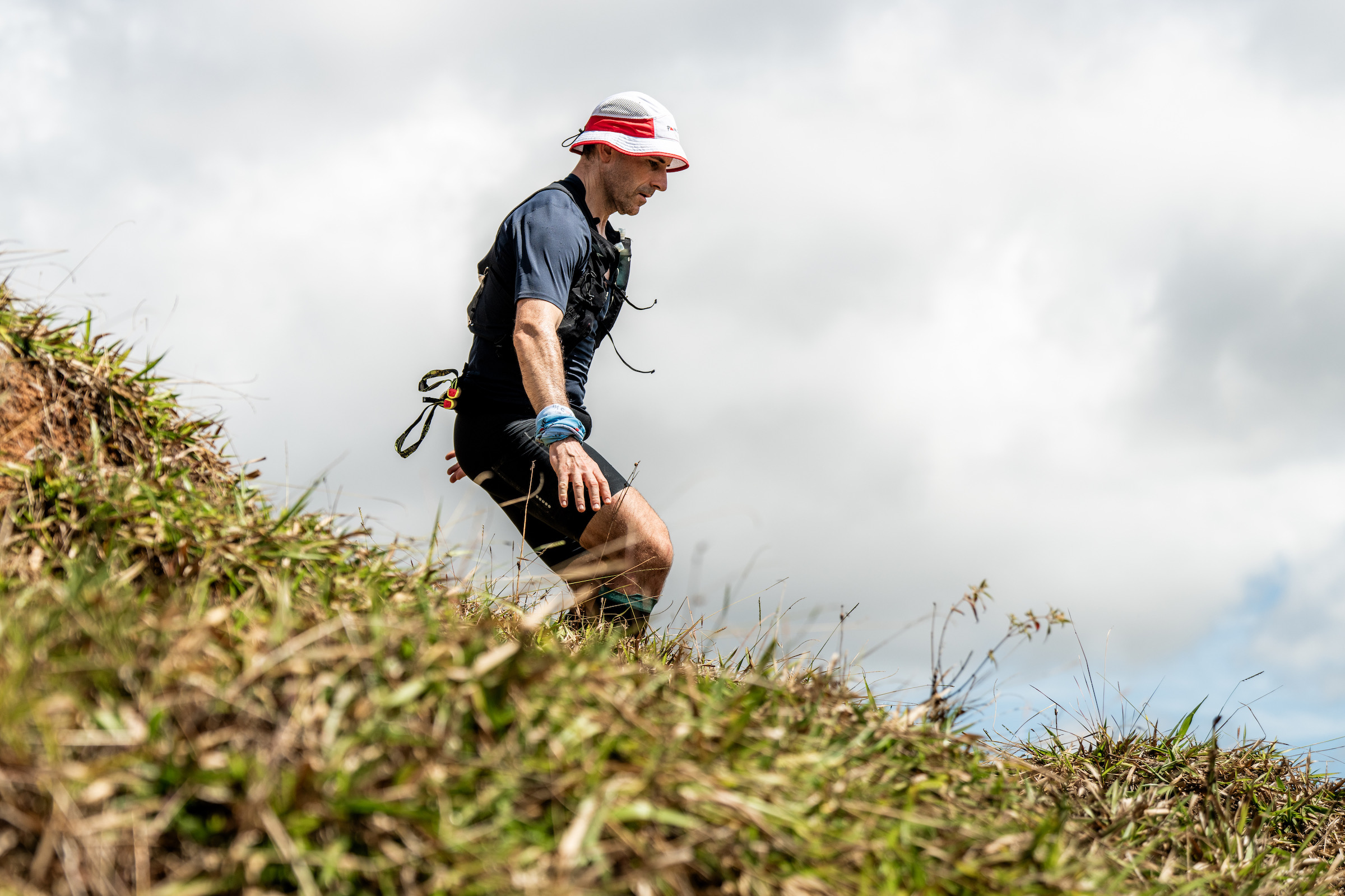
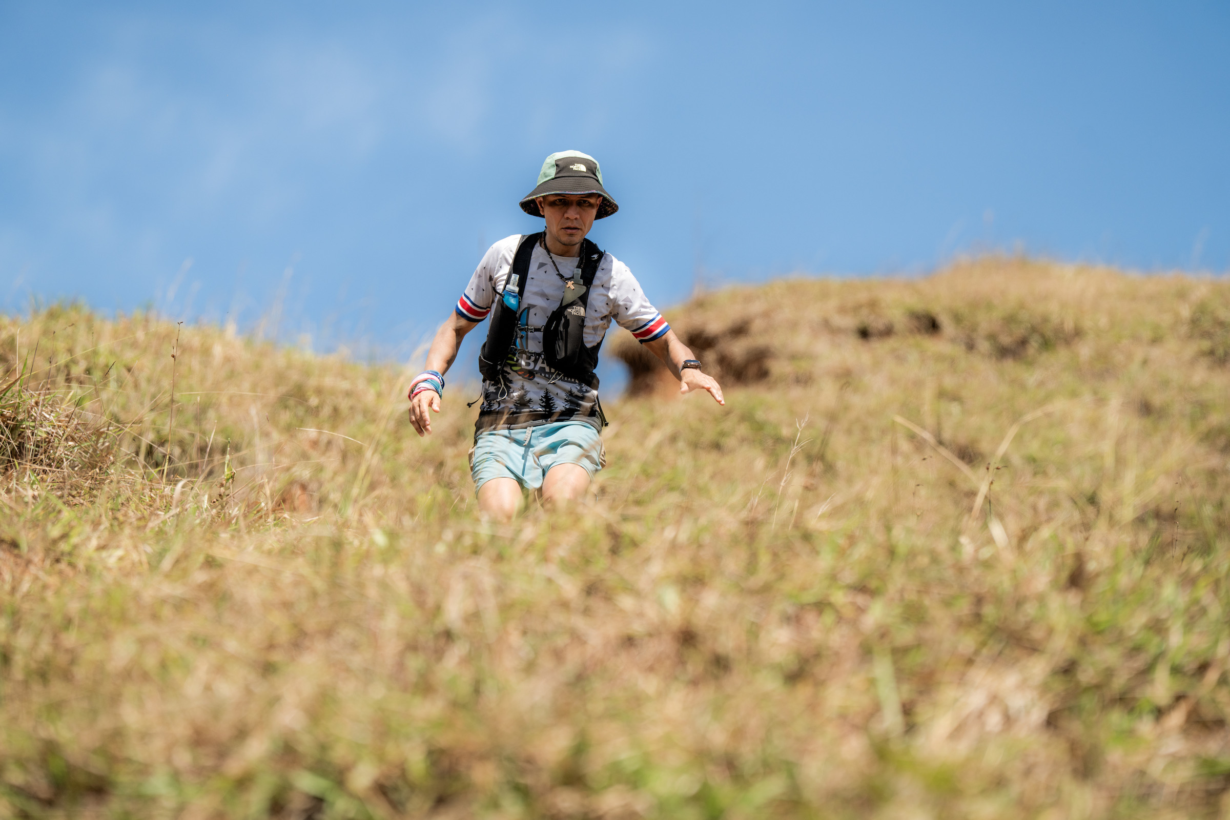
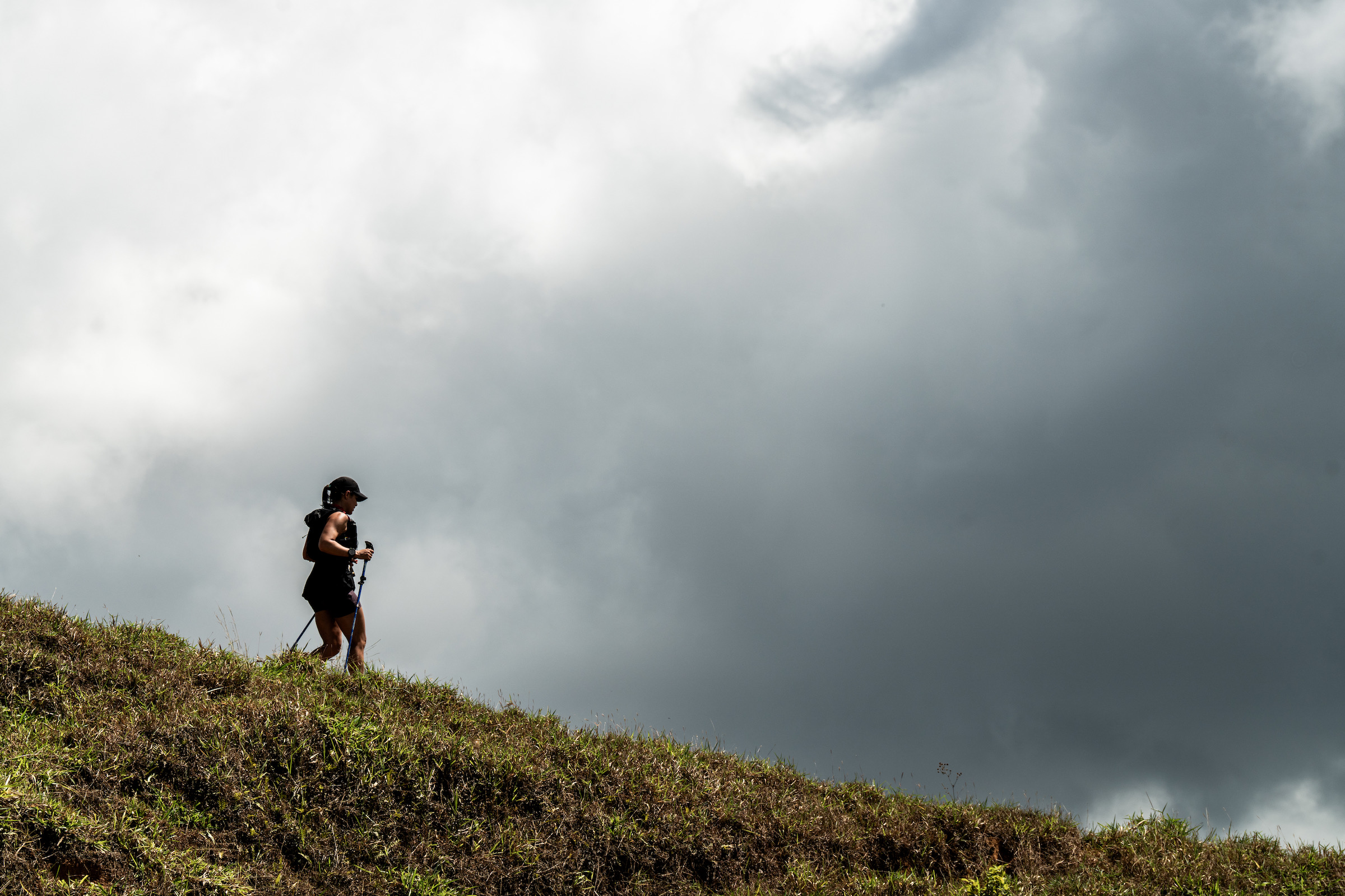
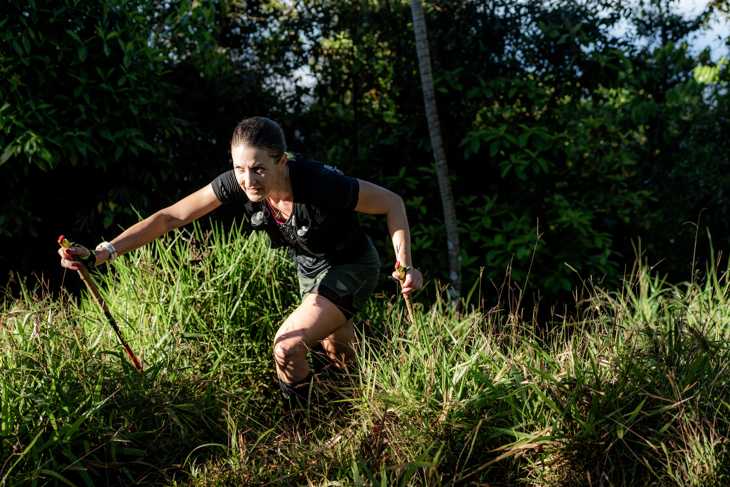
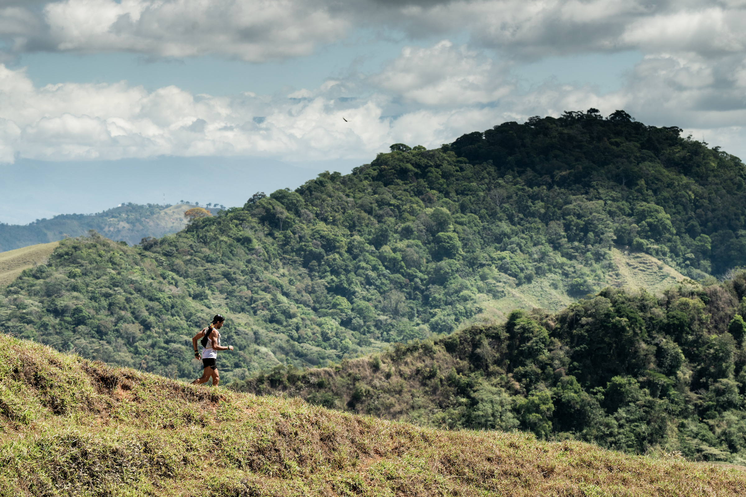
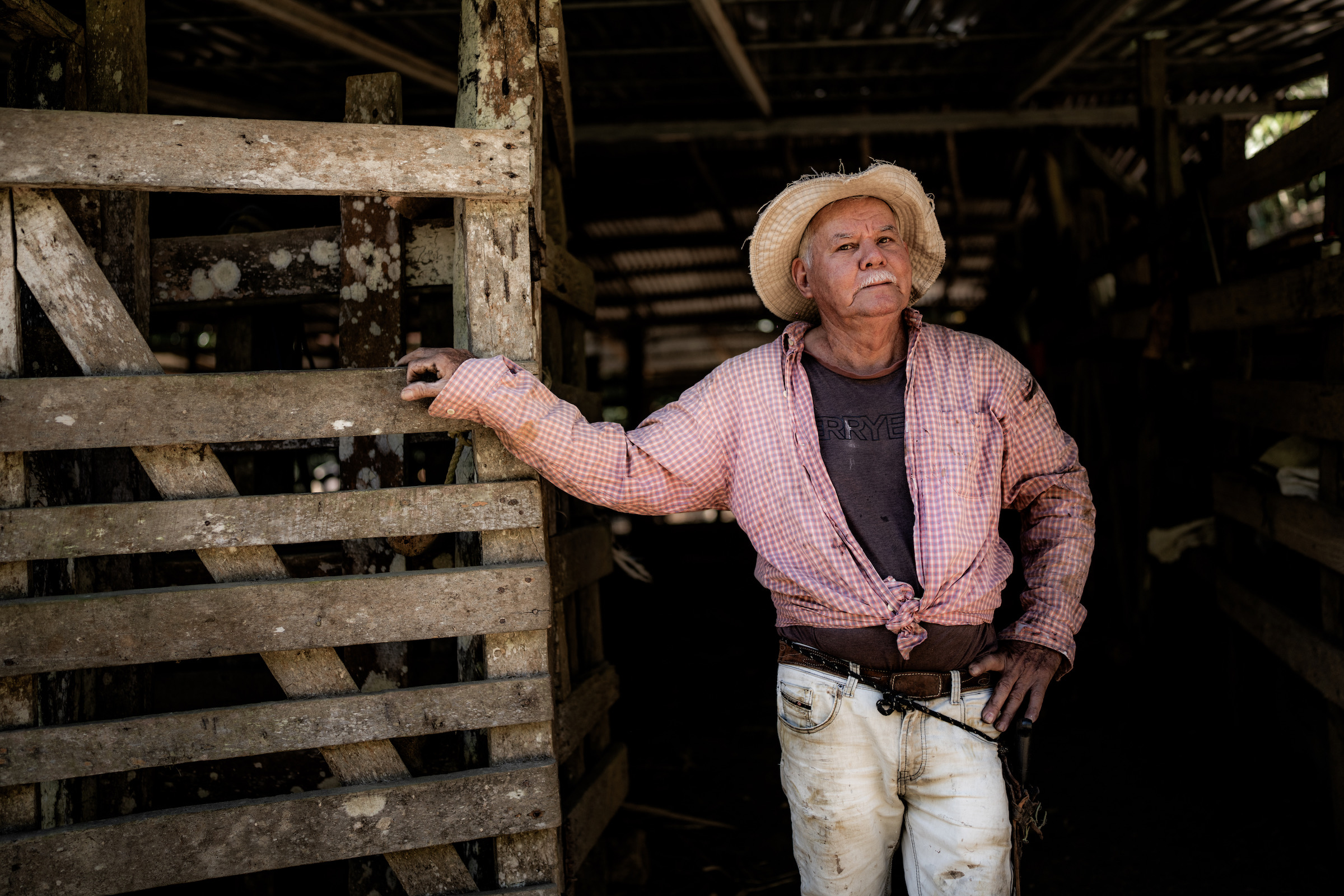
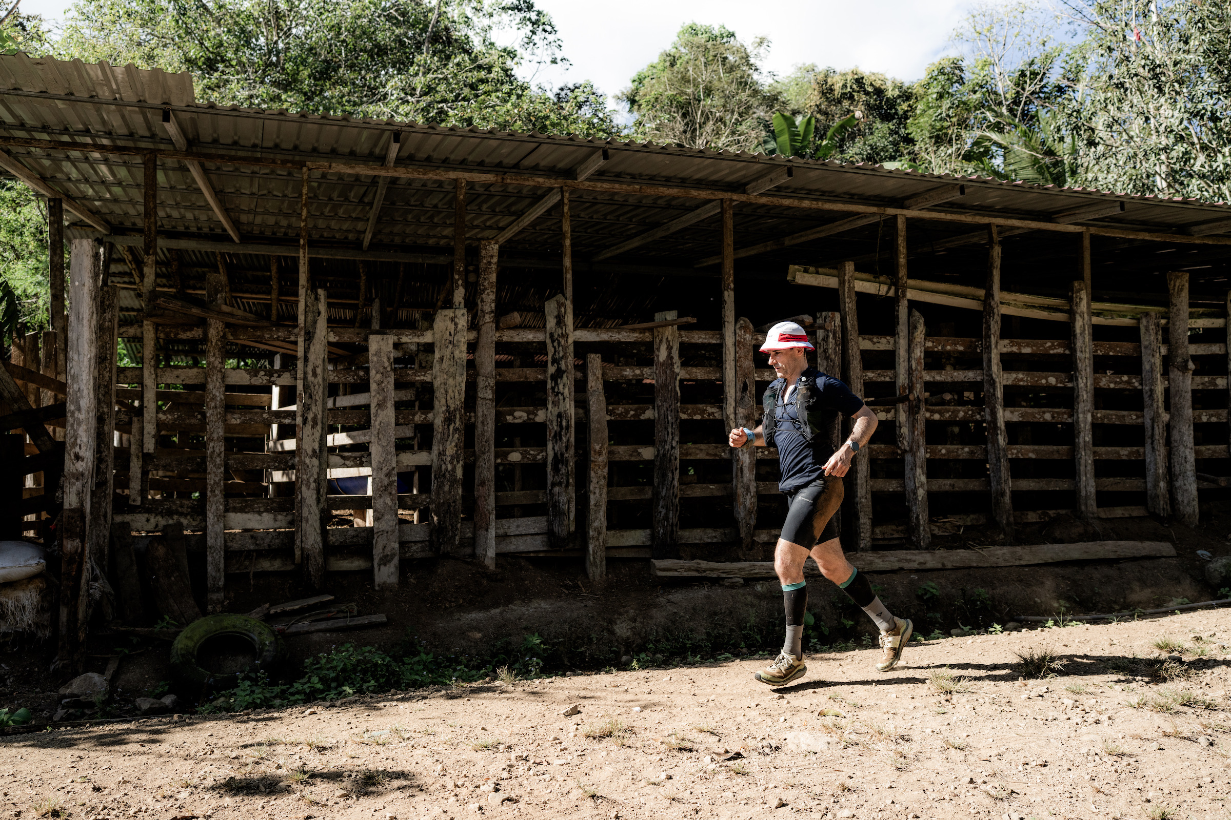
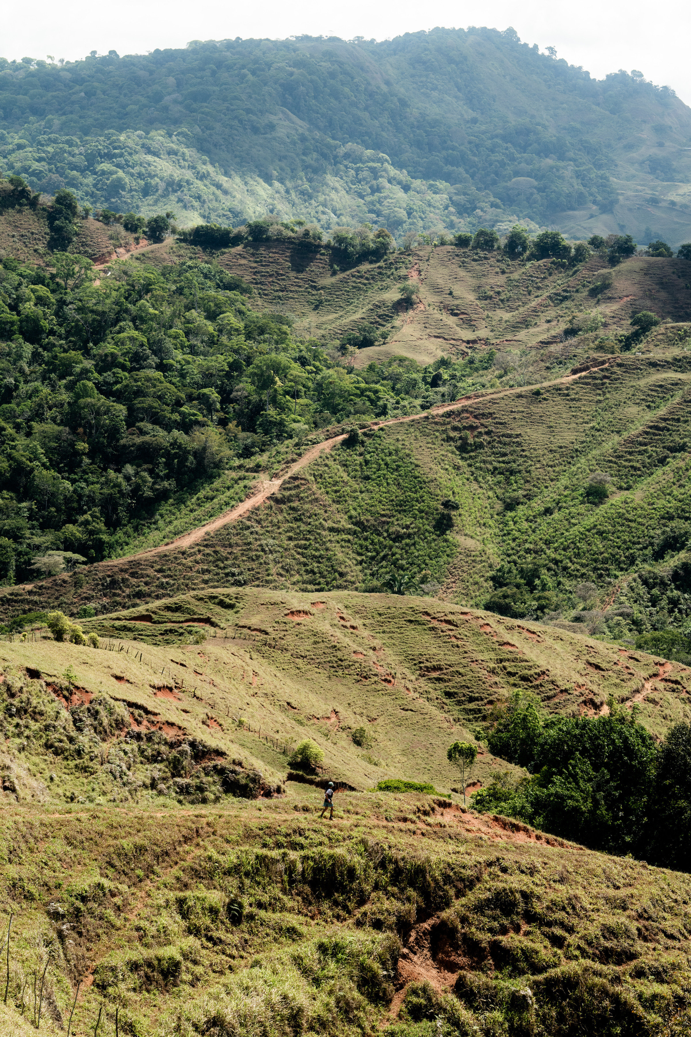
The Coastal Challenge Costa Rica pulled runners away from the coastline and into the high farmlands of the country’s interior. It was a bruising day, 37.7 kilometers with 2,613 meters of climbing for the Expedition category.
No hiding from it. The terrain rolled relentlessly, climbing and plunging through rough rural tracks and exposed hillsides before dropping toward the finish in Palma Norte. It was a stage built to test already tired legs, and it did exactly that.
Men’s Race
Erick Aguirre ran smart. With a solid overall lead, there was no need to take risks. He spent the day alongside Jesus Cerdas, the pair moving steadily across the harsh terrain. They crossed together in 6:05:43, controlled and composed.
Behind them, the real battle unfolded.
Jon Shield fought all day. For much of the stage he sat in fourth, but he never let the gap grow. Gradually he reeled in Martin Alonso Mena. The two arrived at the line almost inseparable after more than six and a half hours of racing. Shield edged it by just three seconds, 6:38:26 to 6:38:29. A long day decided by the smallest of margins.
Women’s Race
Denise Zelaya continues to run her own race. Calm, consistent, and completely dominant, she finished in 7:29, well clear of the field.
Janina Beck followed in 8:27, with Floribeth Perez completing the podium in 8:59. On a day that punished everyone, Zelaya once again showed control and strength.
Adventure Category
The Adventure course was shorter at 12 kilometers, but still far from easy. Sammy Francis ran solo again, crossing in 3:39:22 with another composed performance. In the women’s race, Laura Zuniga finished in 4:13:45, gaining more time on Toni Clark and steadily building her advantage.
*Please note – Adventure times need to deduct 1:49 from the times
With four stages complete, fatigue is real. The coastal humidity has been replaced by exposed climbs and rolling farmland. Every step now carries the weight of the days before.
The Boruca region of southern Costa Rica feels different from the postcard version of the country. This is not manicured resort coastline or dense jungle trails pressed flat by tourists. It is rural, working land, shaped as much by history as by weather.
The Boruca people, one of Costa Rica’s remaining Indigenous communities, have lived here for generations, known for their hand-carved masks and fiercely preserved traditions.
Around their villages the land rolls outward into open pasture and patchwork farmland, where cattle graze on steep green hills and small family plots cling to uneven slopes. The terrain is restless. Long climbs rise without rhythm, dirt roads bake under the sun, and sharp descents cut down into river crossings and humid low pockets before rising again.
It is a landscape that looks soft from a distance, all green folds and misty ridgelines, but up close it is rugged and unforgiving. The soil can be loose, the heat heavy, and the gradients relentless. In the high farmlands near Palma Norte, you move through open exposure rather than forest cover, feeling the scale of the land around you. It is beautiful, but it demands respect.