THE MOUNTAINS WILL ALWAYS BE THERE

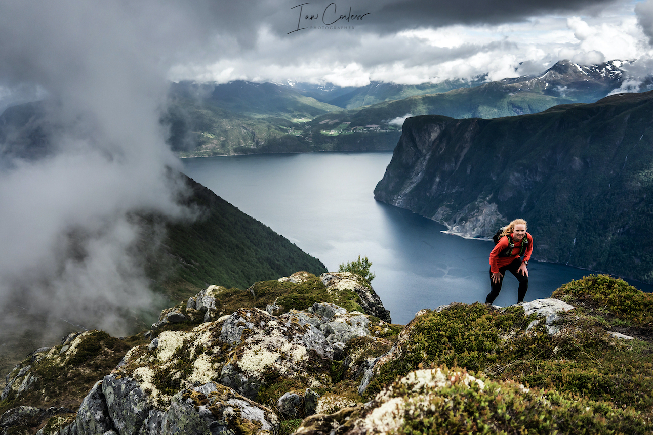
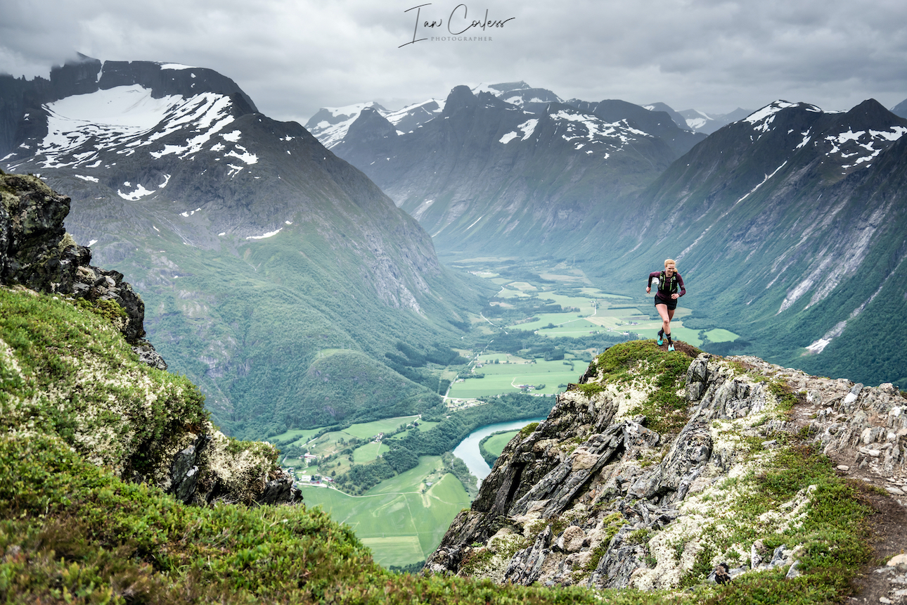
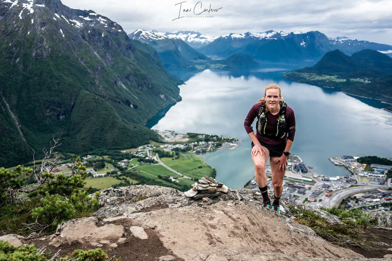
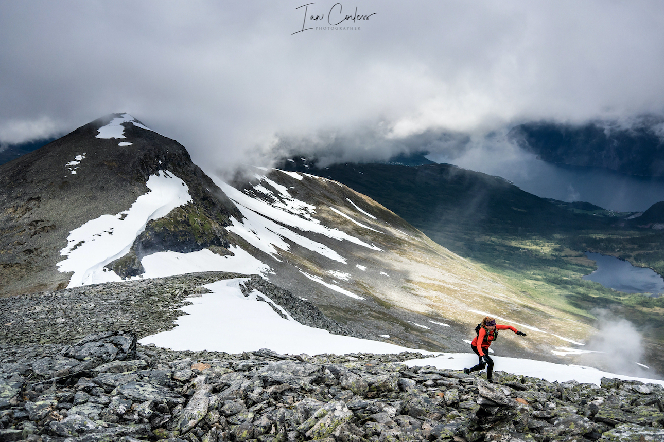
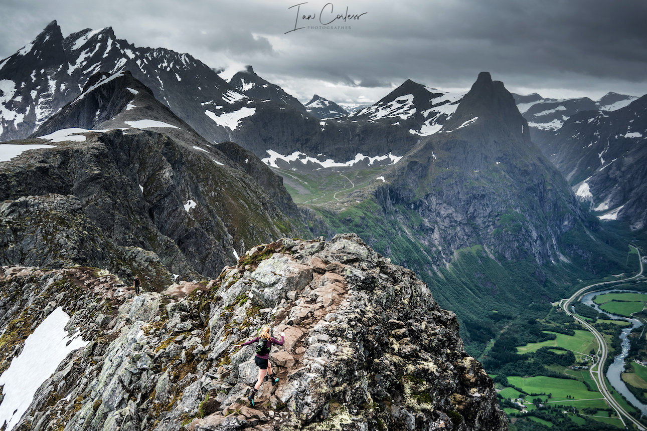
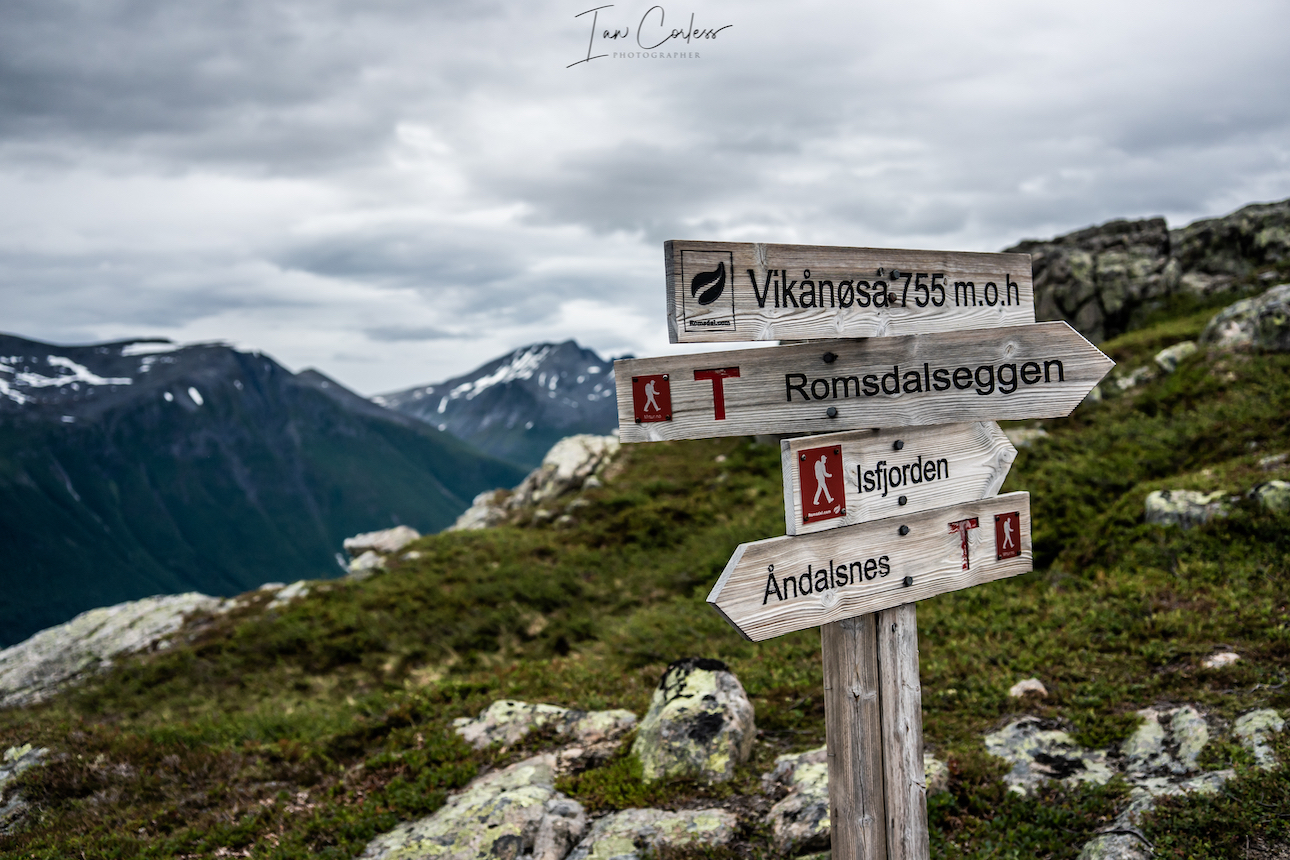
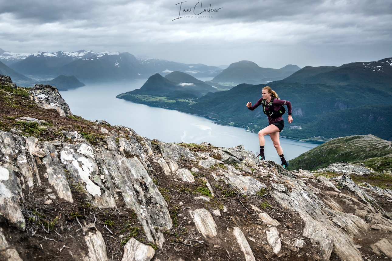
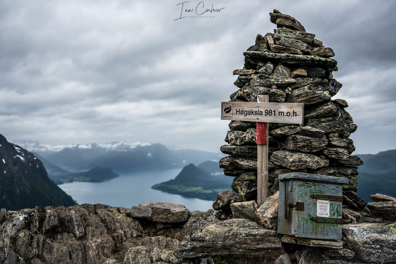
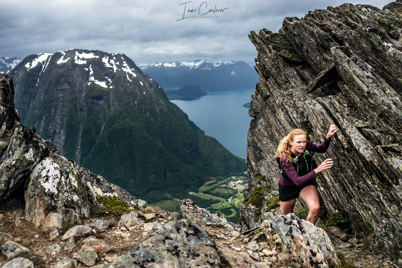
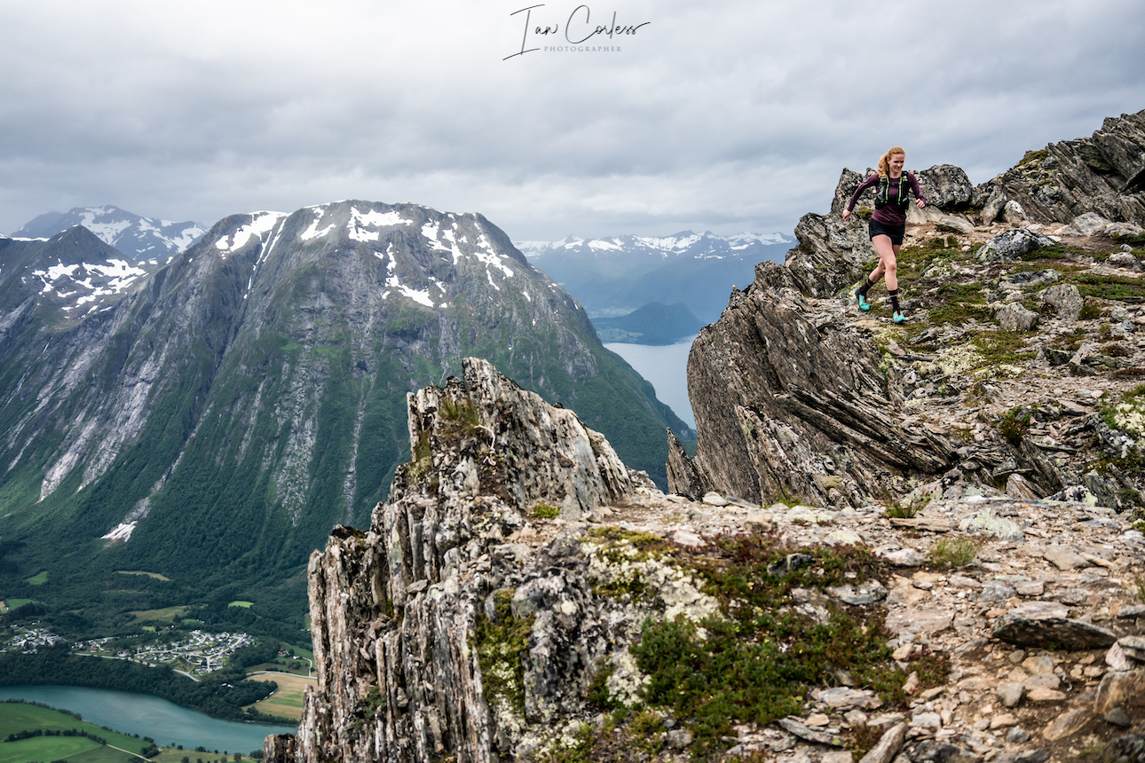
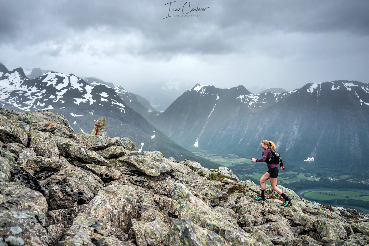
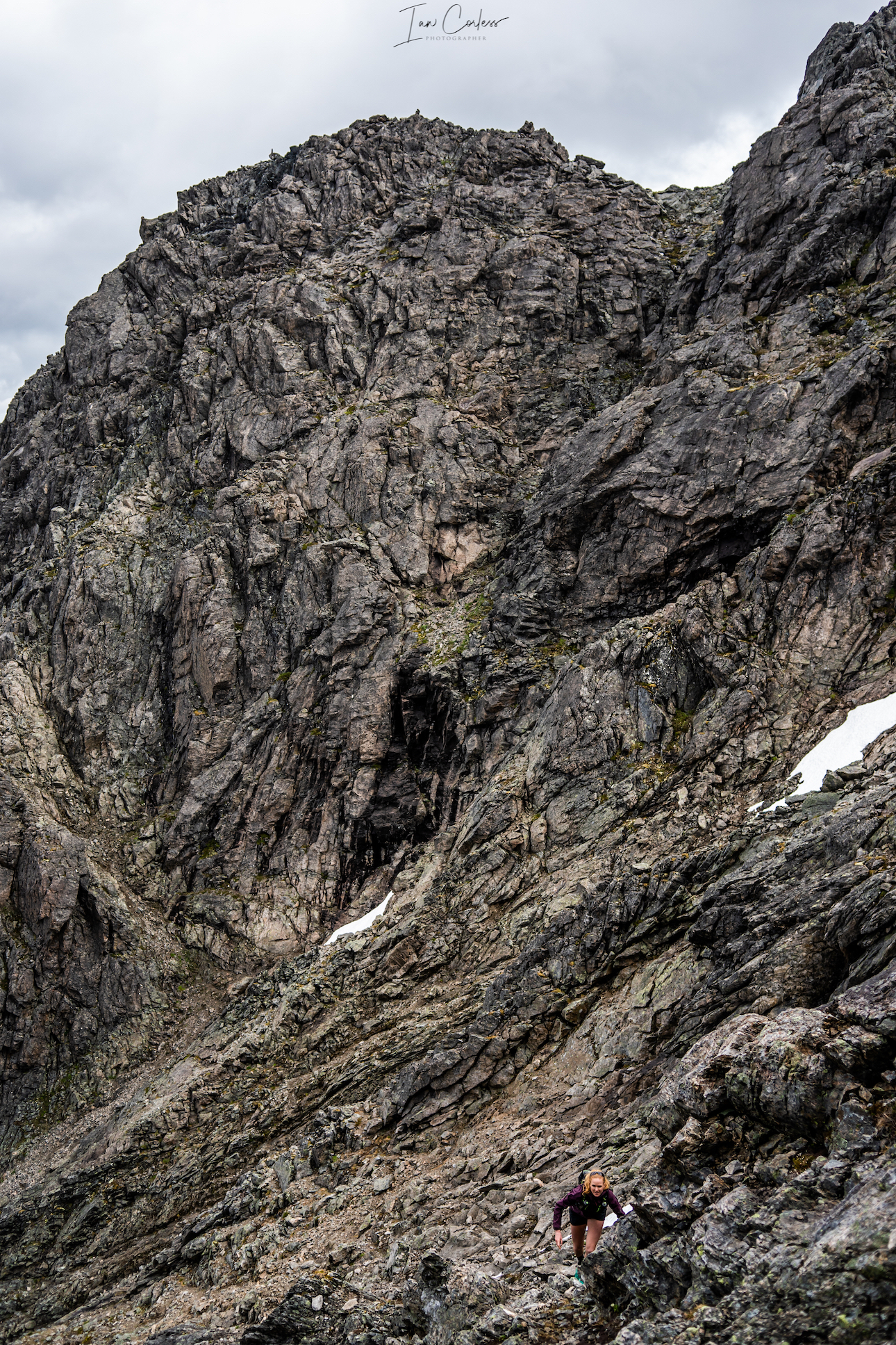
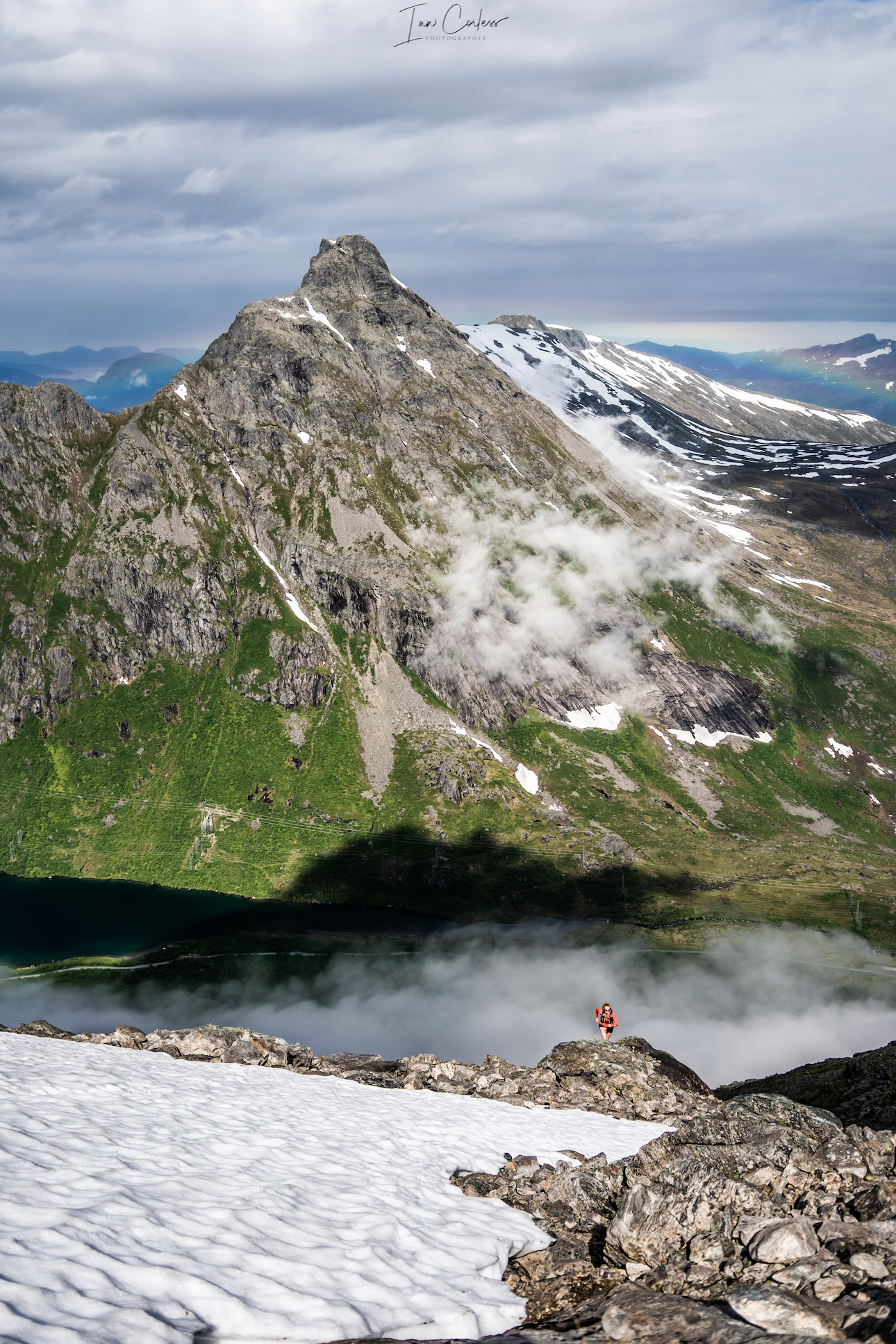
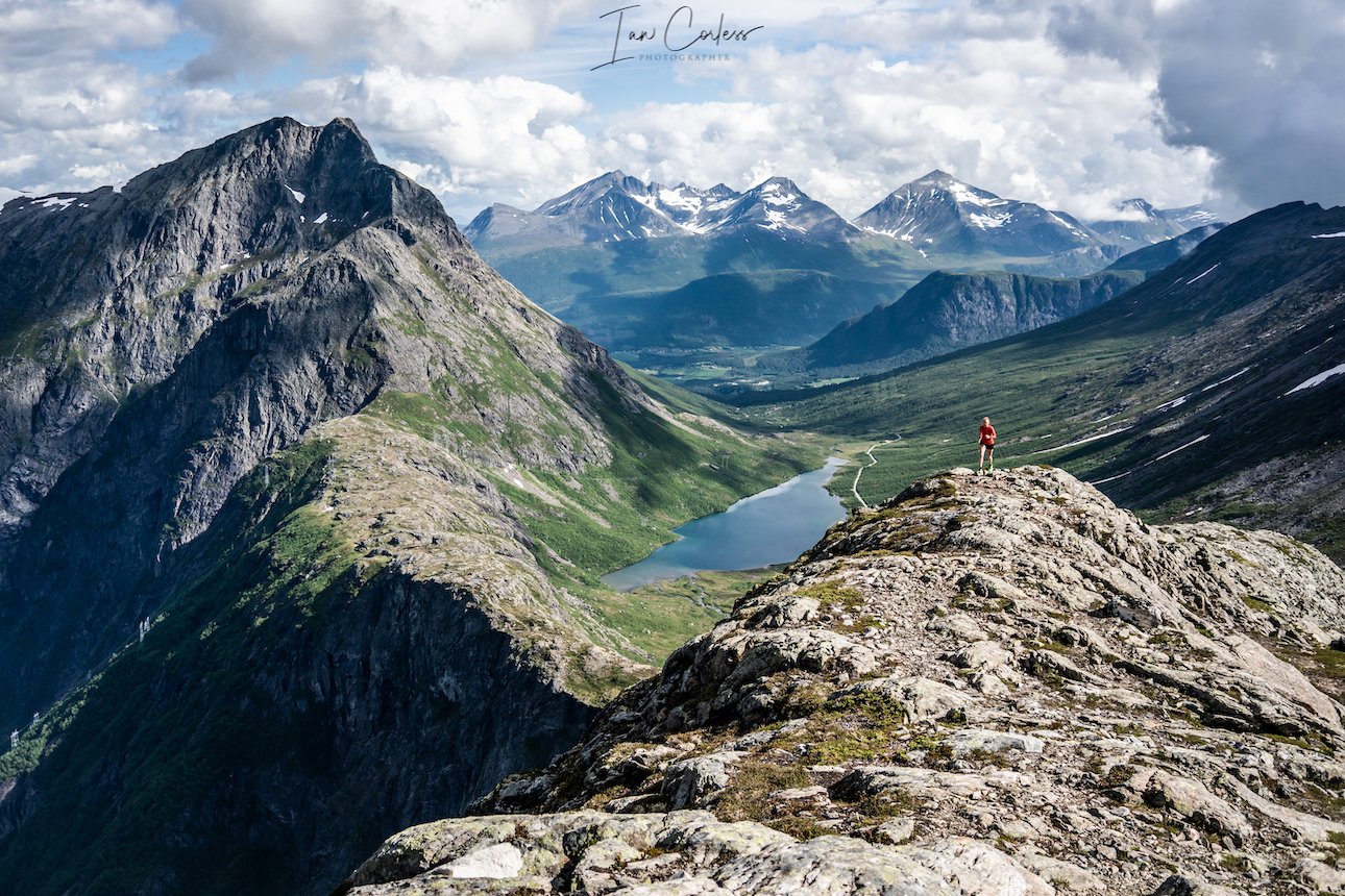
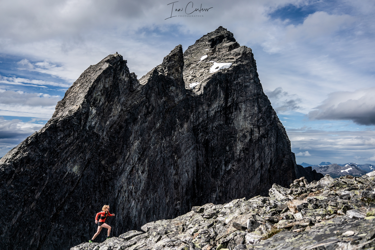
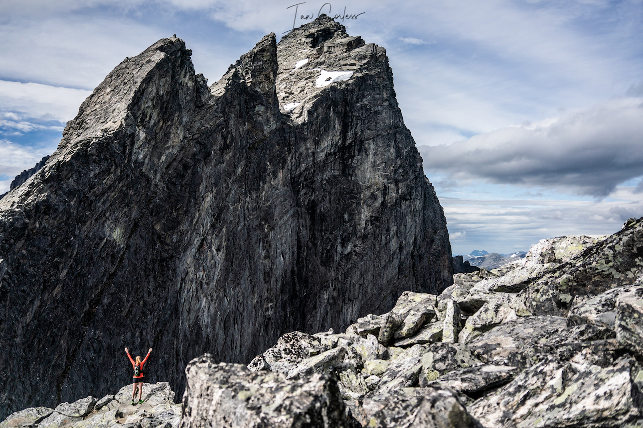
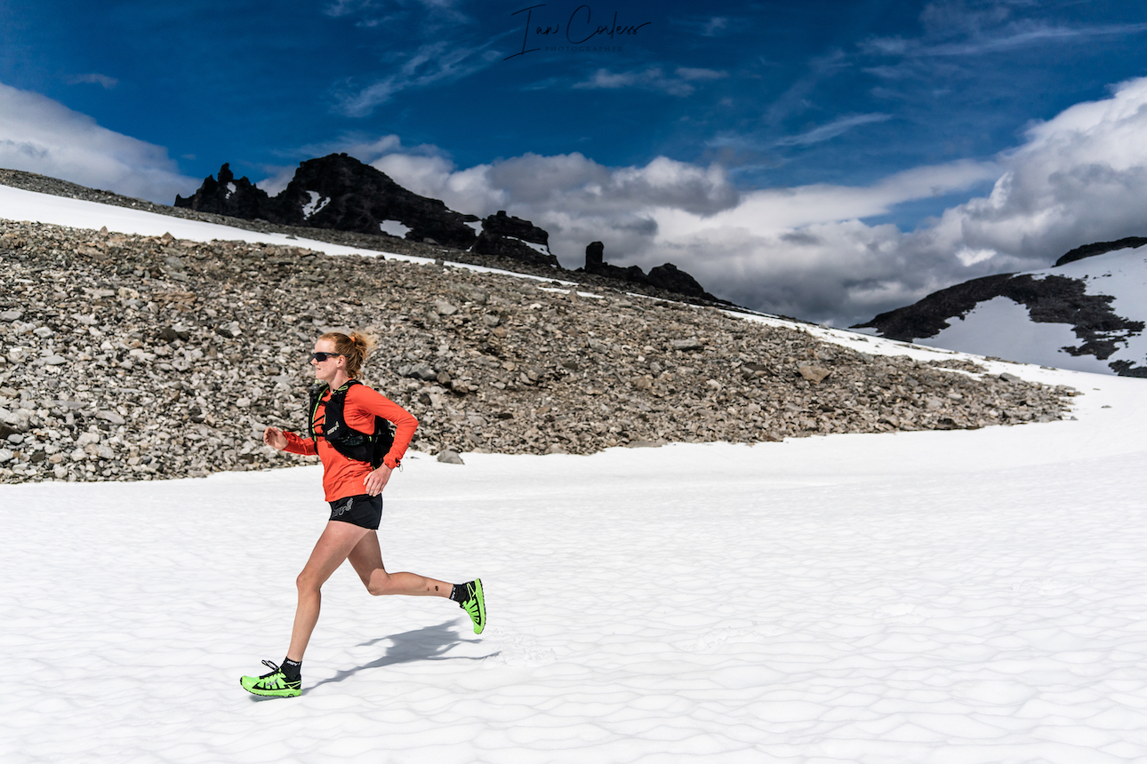
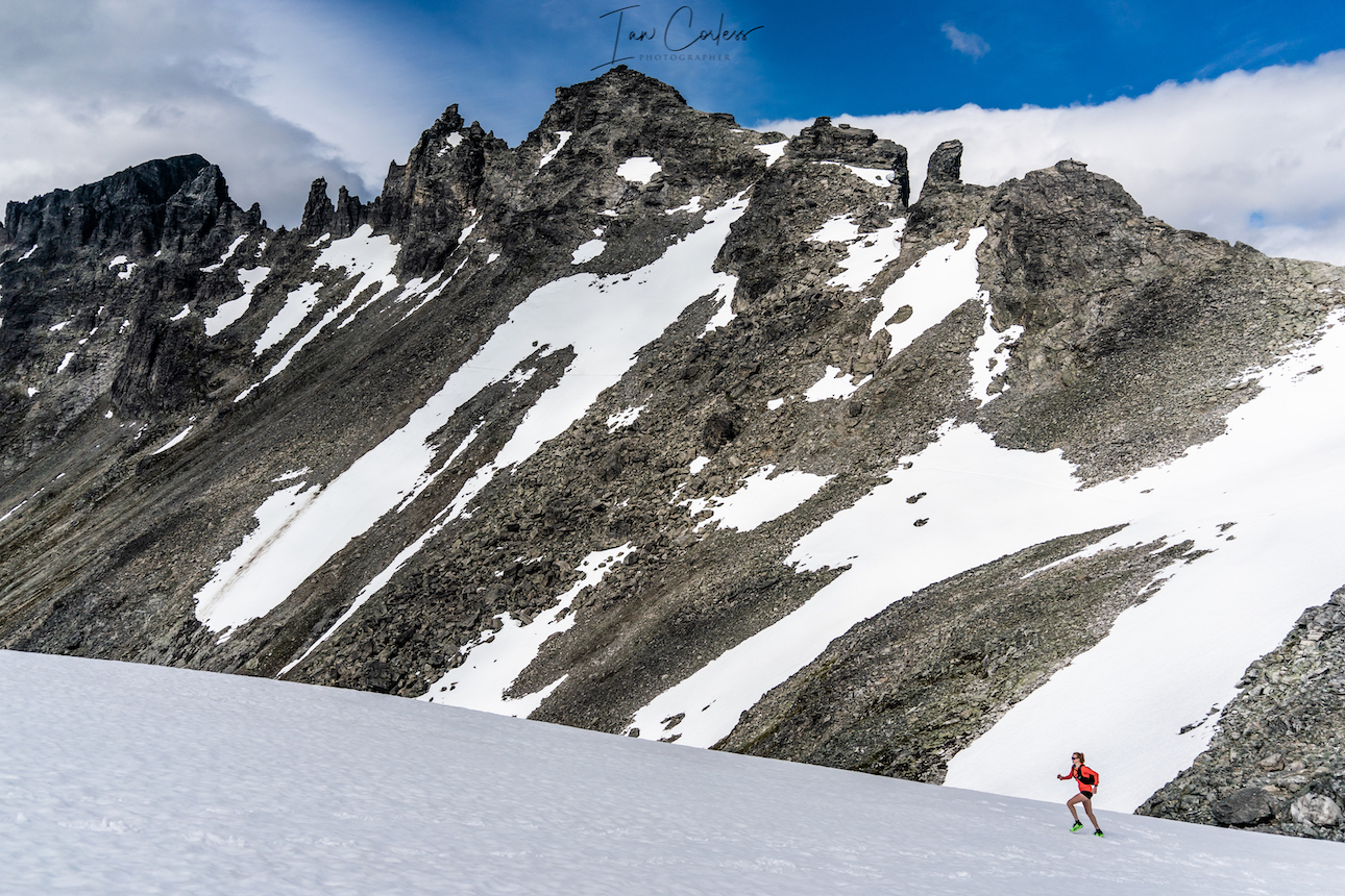
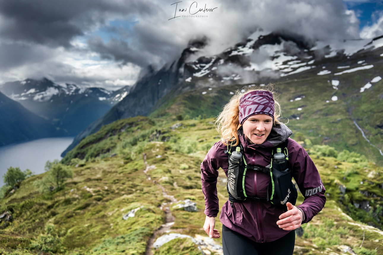
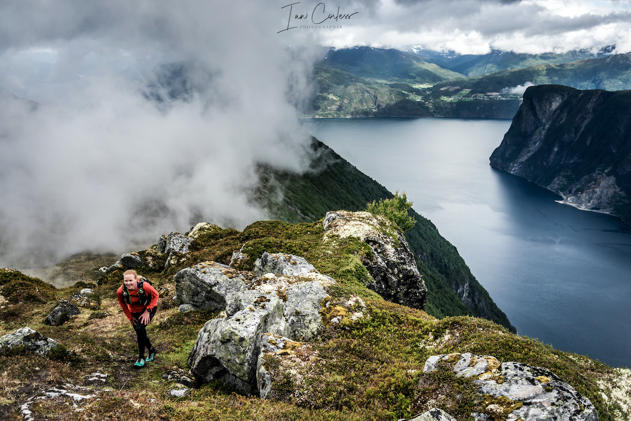
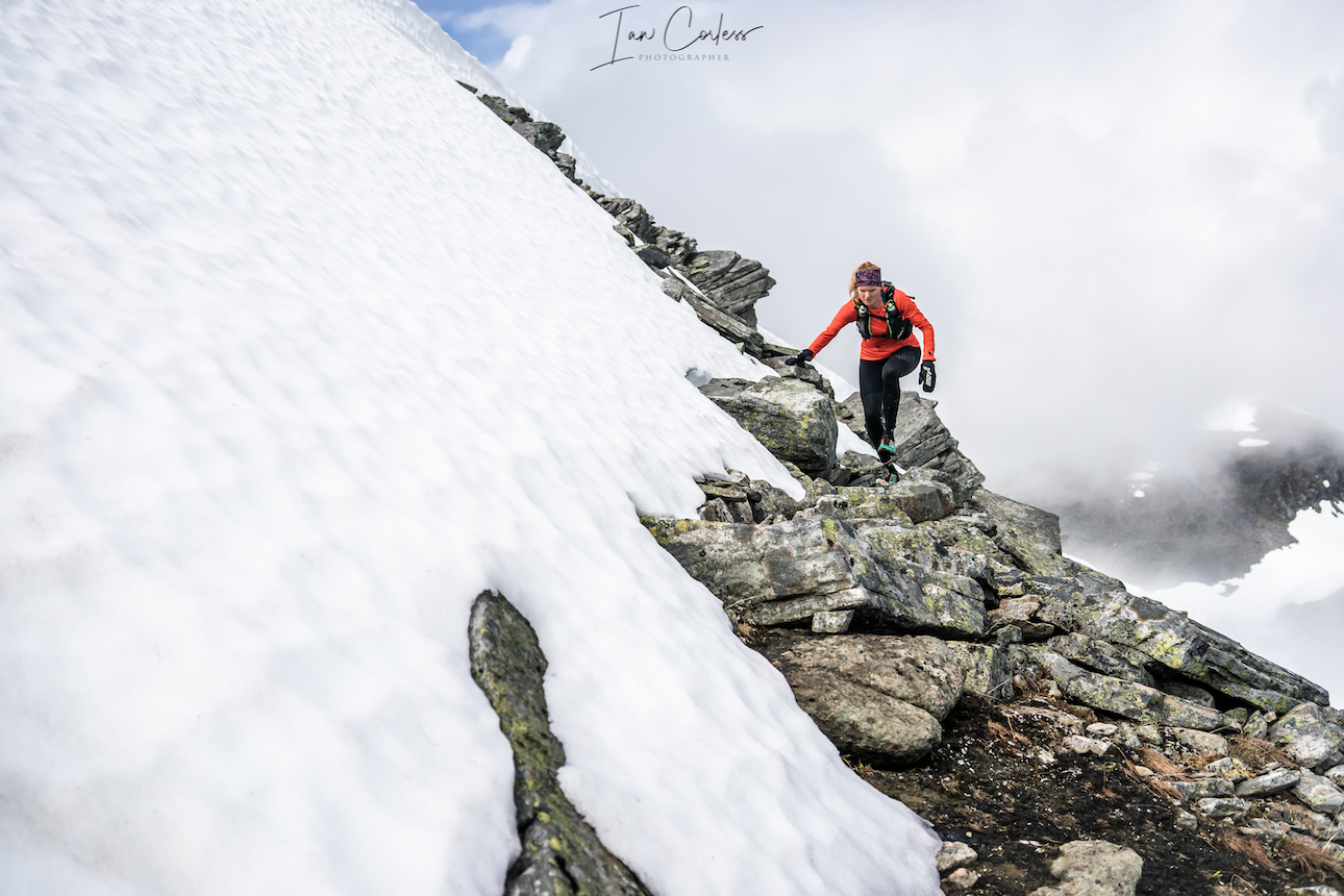
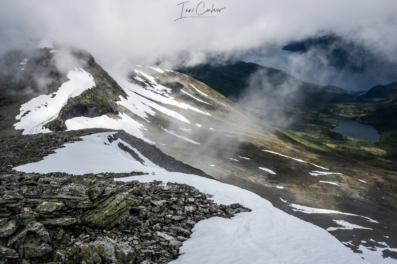
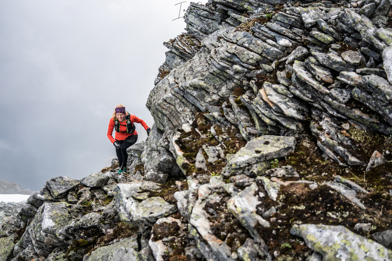
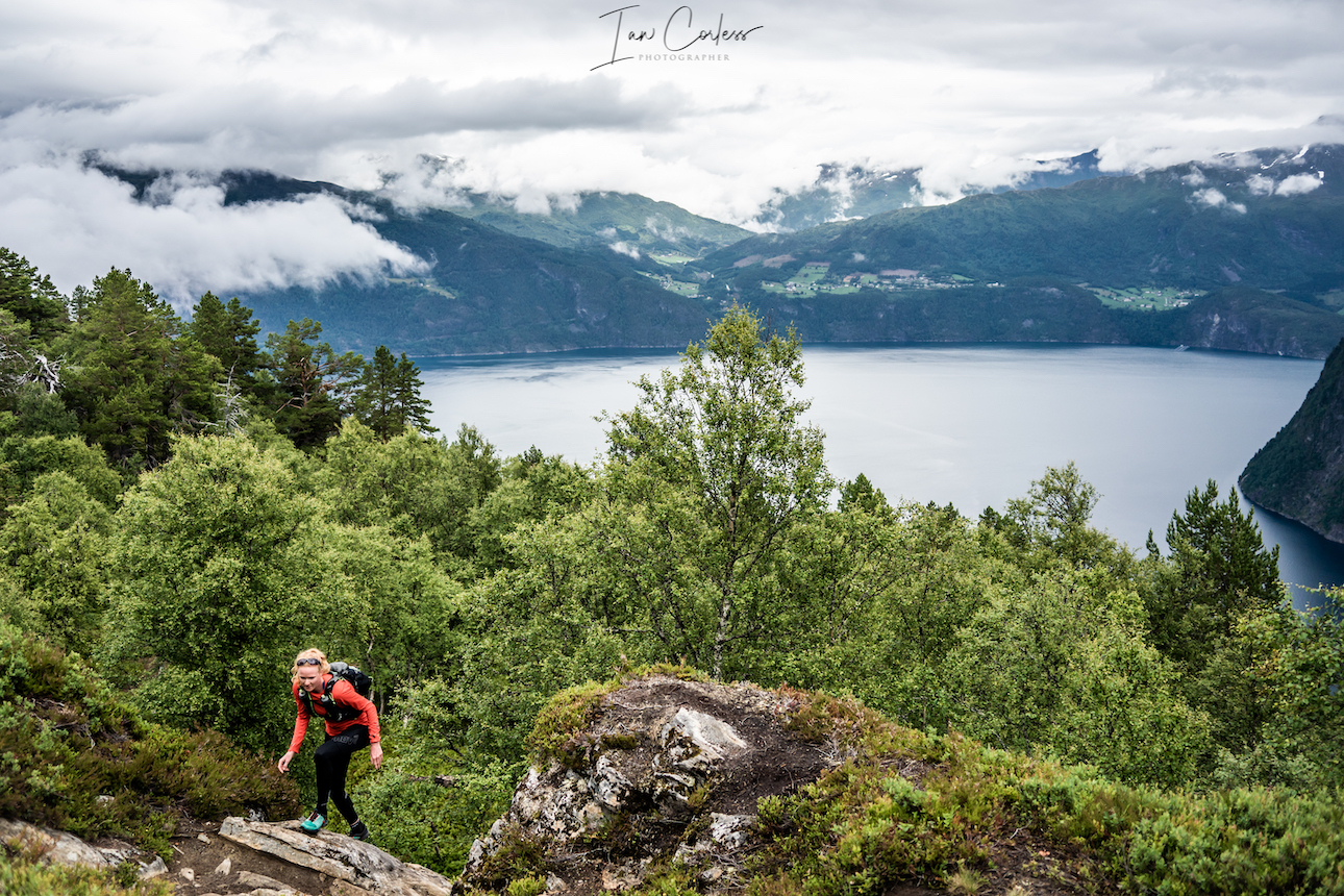
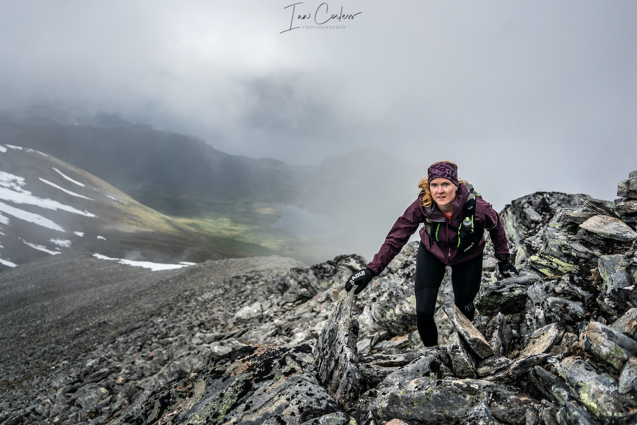
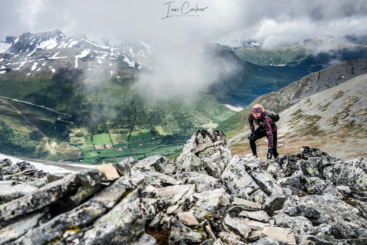
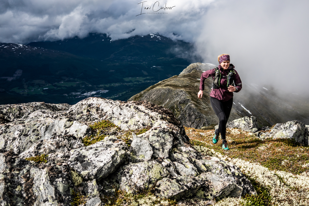
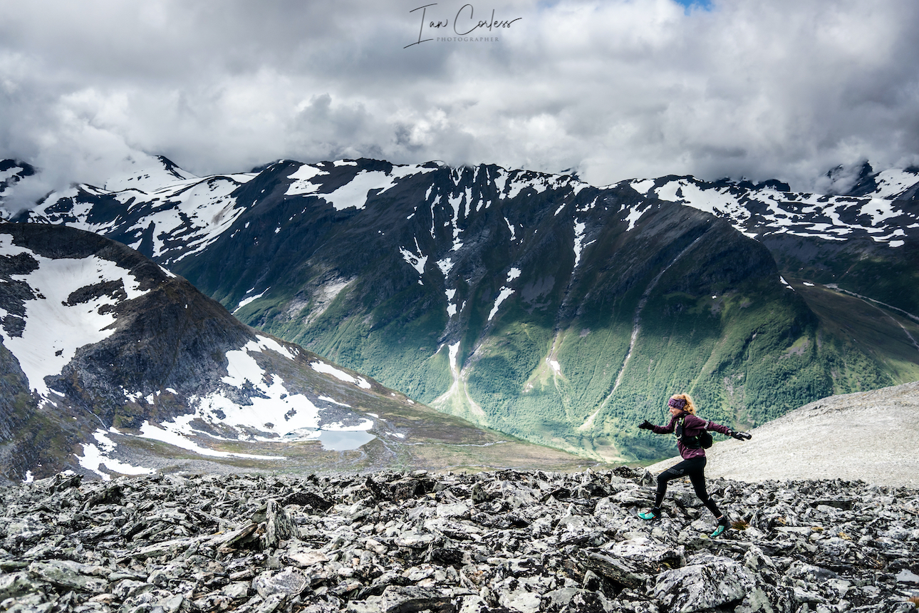
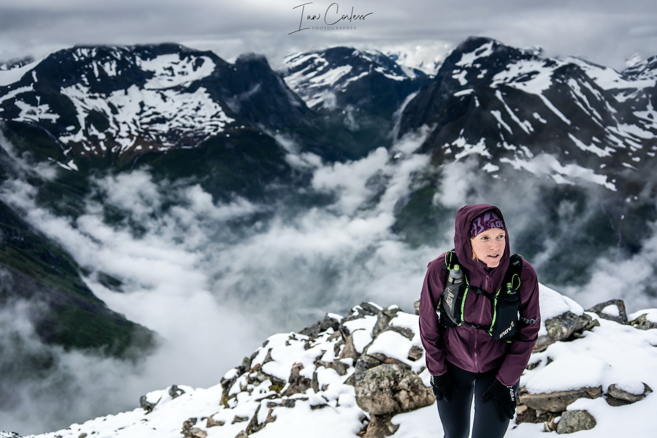
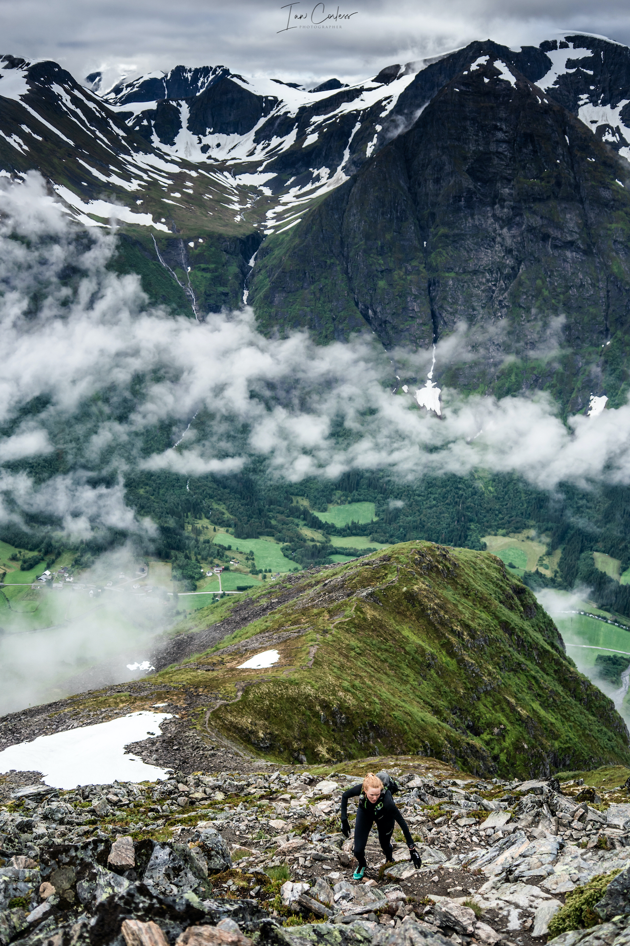
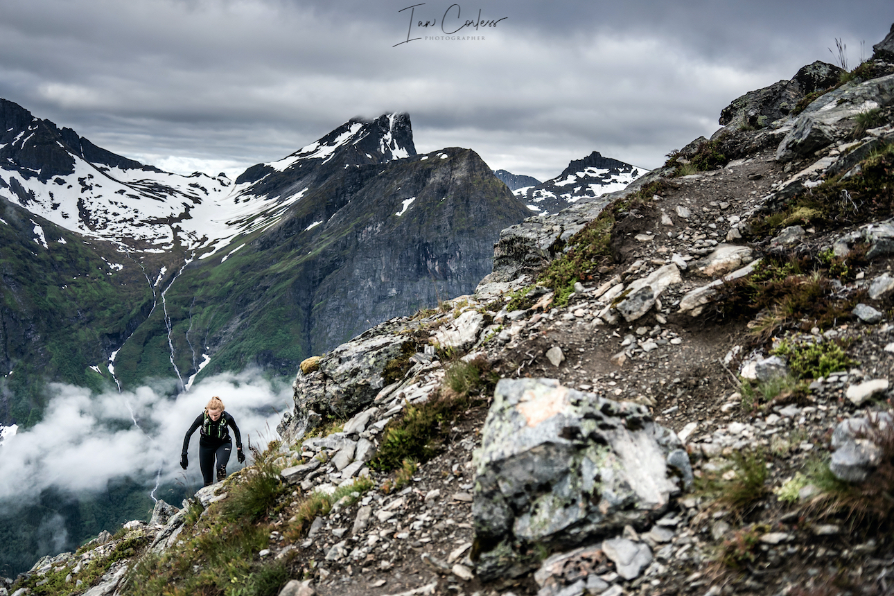
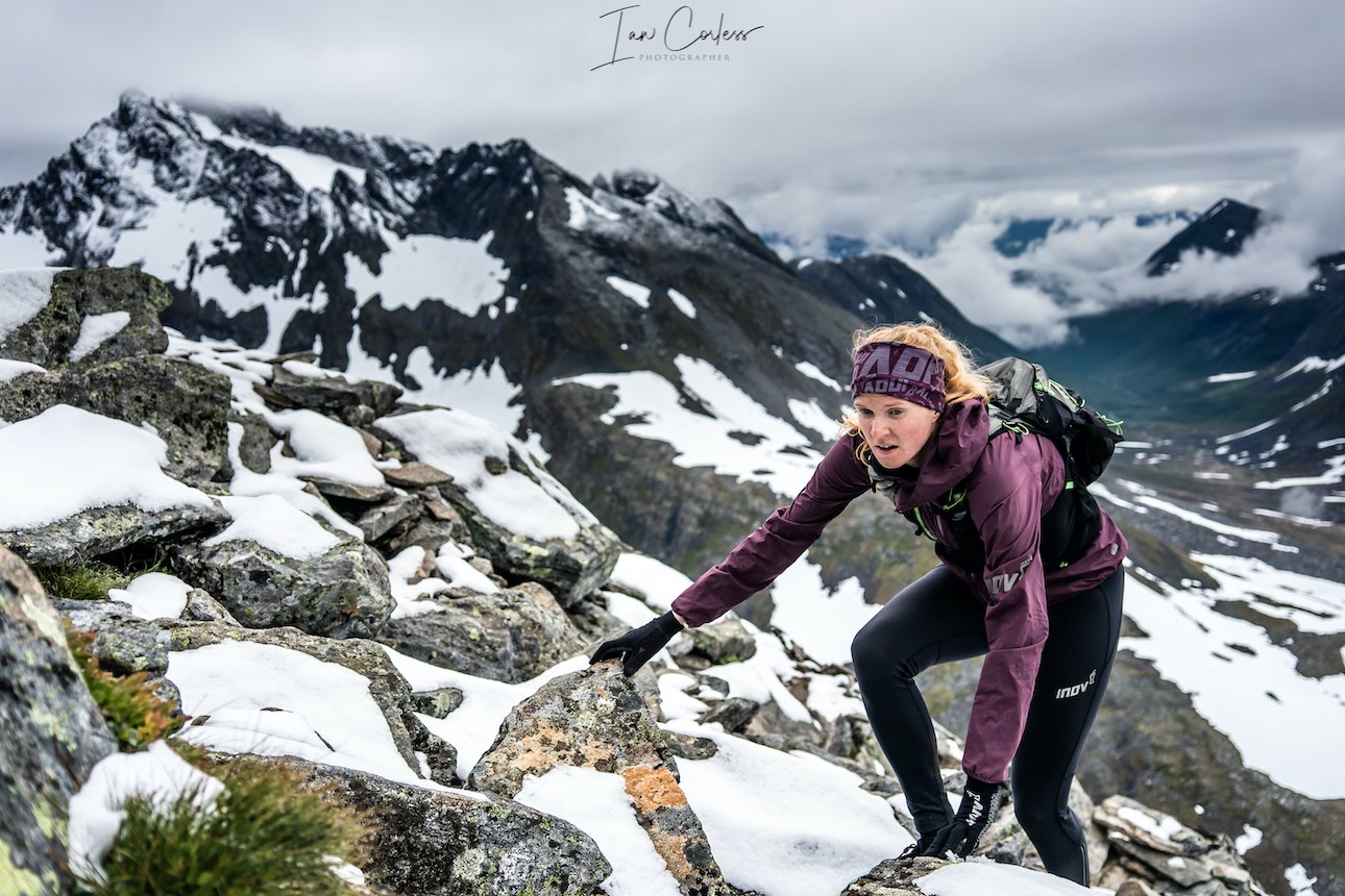
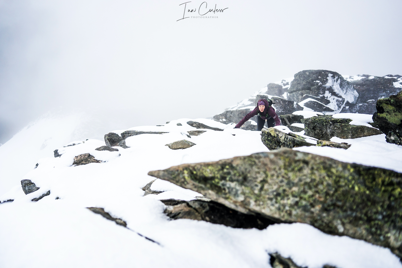
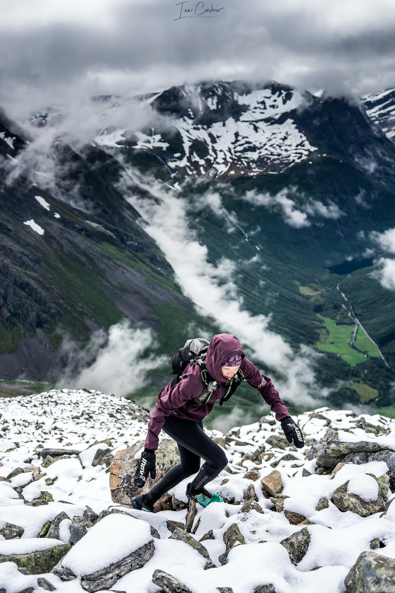
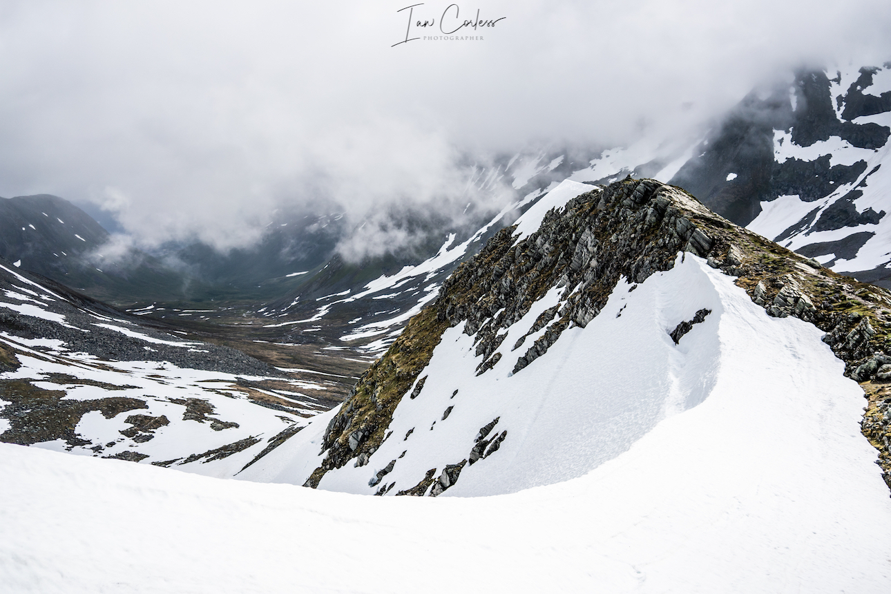
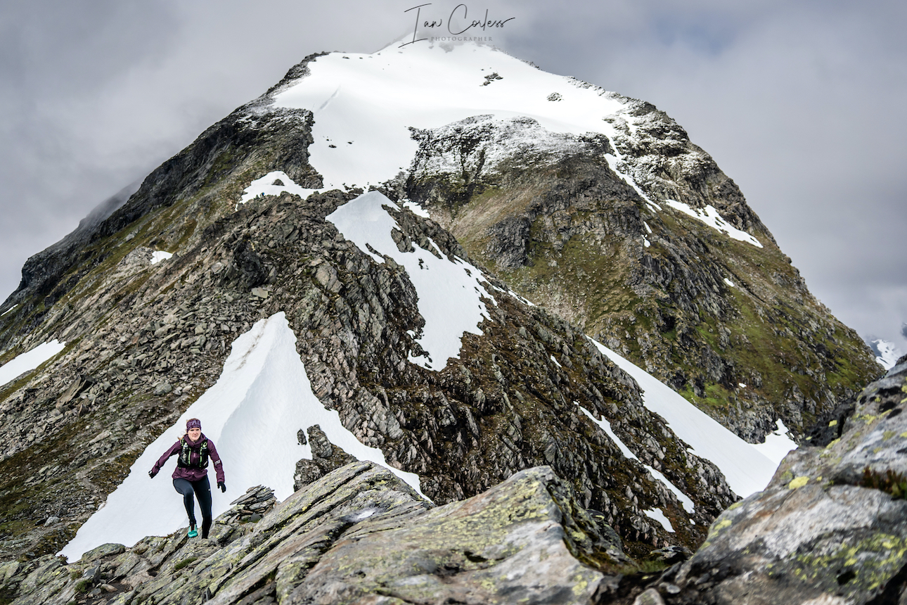
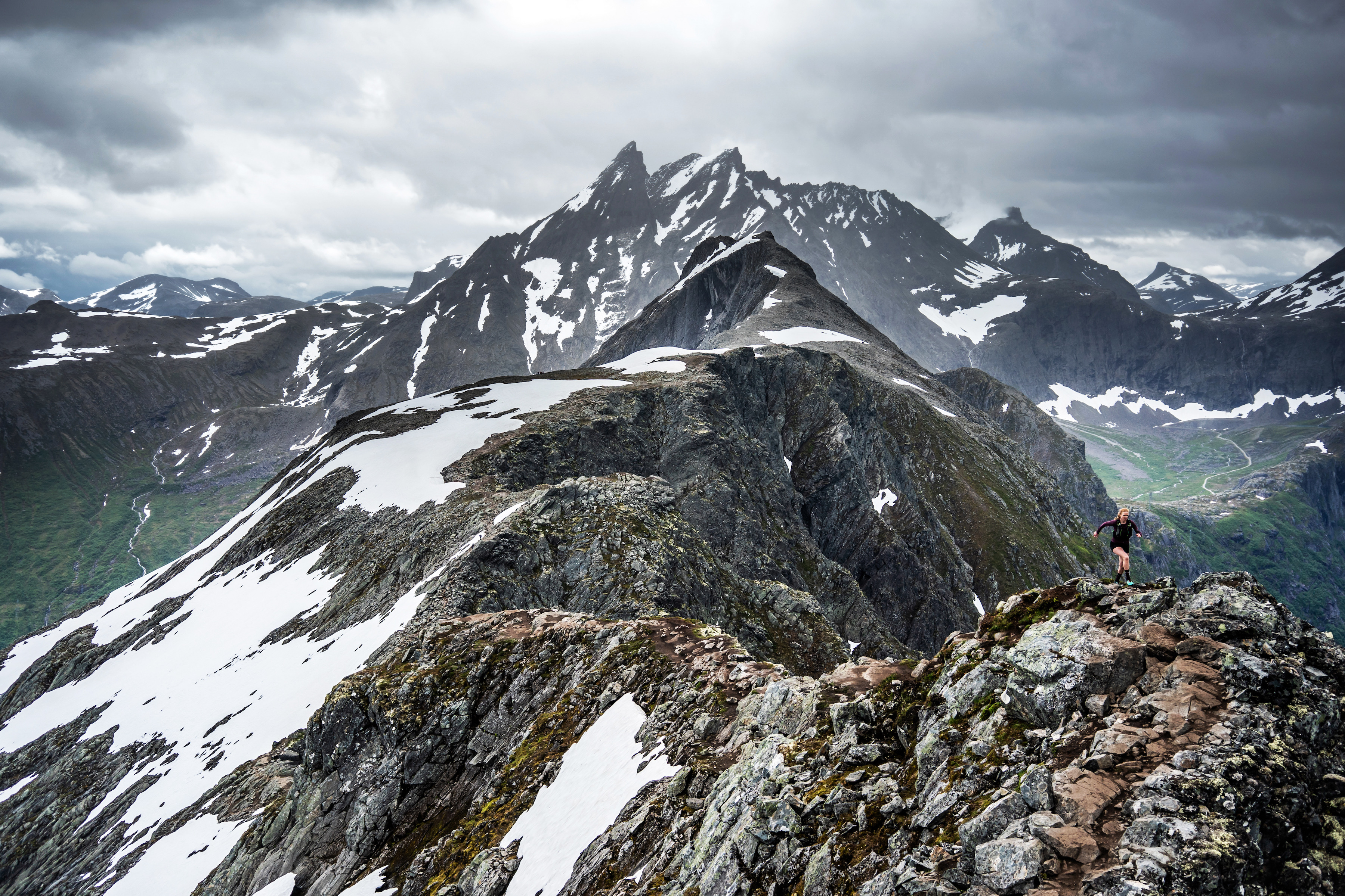
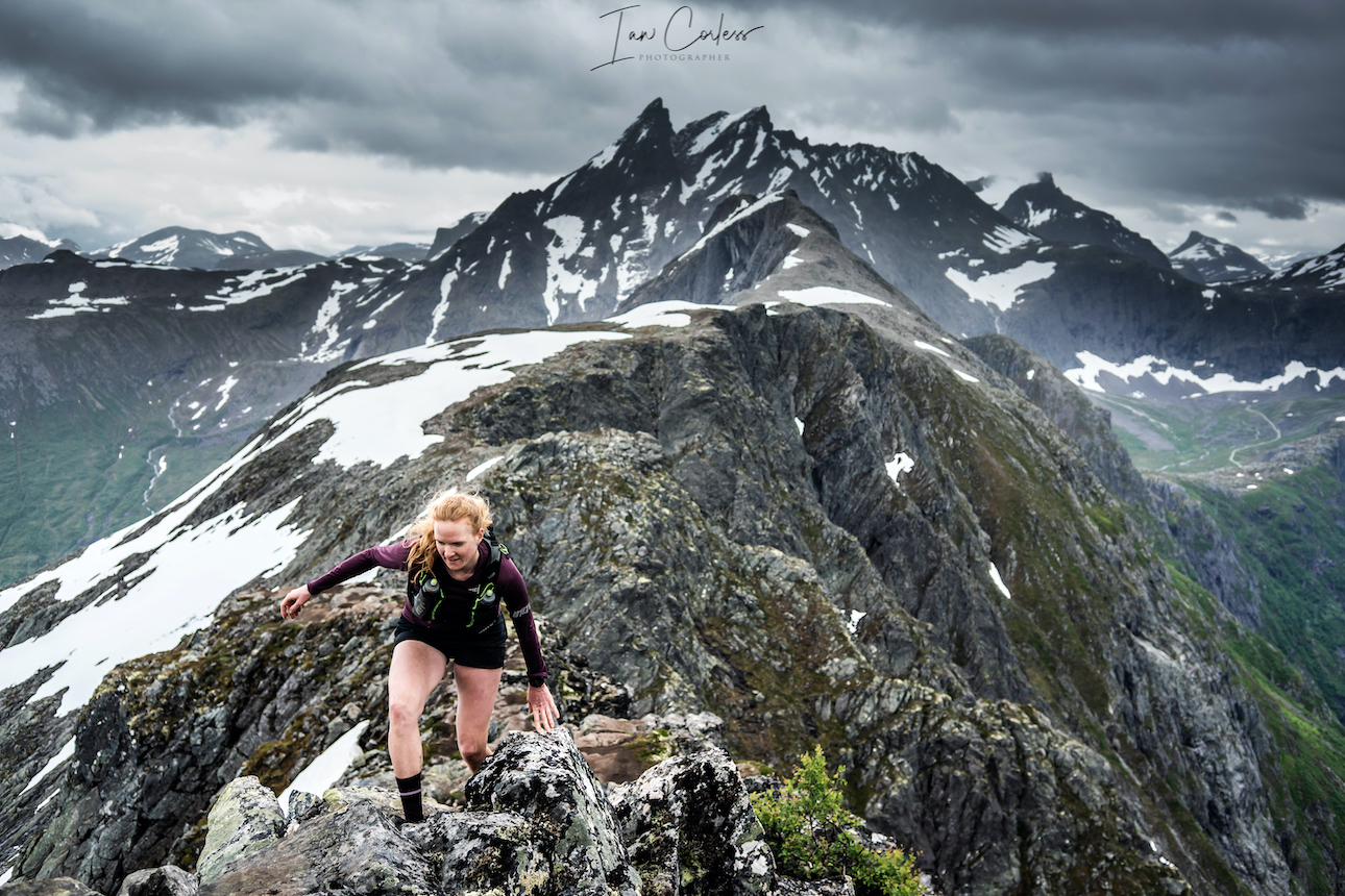
Romsdalseggen Ridge – photo 2020 w/ Abelone Lyng


After the deaths of Ida Amelie Robsahm and Kalie McCrystal, how should mountain runners think about risk, responsibility and the desire to live fully?

On Monday, I heard the tragic news that Ida Robsahm had died after a fall while running on Romsdalseggen in Norway.

I knew Ida personally, the news hit hard stopping me in my tracks and resulting in a flood of tears for the terrible loss of someone who had so much to live for. 
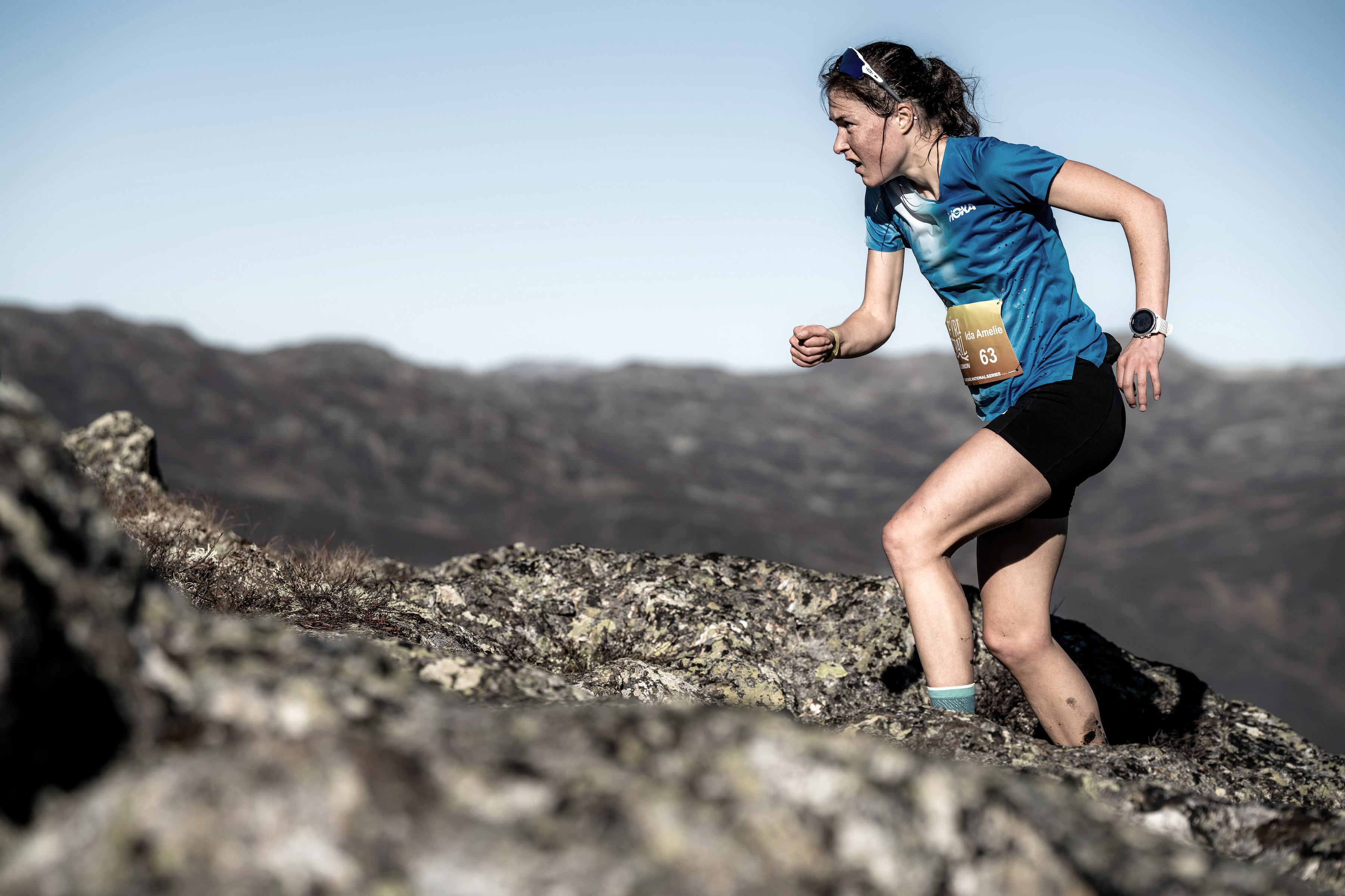
Ida at Fyri Trail, Norway 2024 – Photo by Ian Corless

Because she was doing exactly what all of us in the trail and mountain running community do. Because I had been running on that very Romsdalseggen ridge myself. Because, following the loss of Kalie McCrystal on the Matterhorn just a few weeks before – all these elements combined as another reminder of something many of us know, yet rarely choose to confront.

Life in the mountains is fragile.

We spend our weekends and holidays and free time seeking wild places. We climb ridges, traverse summits and follow faint trails into remote corners of the world. I photograph the beauty, celebrate the adventure and tell stories of freedom, challenge and discovery. What we rarely discuss is how thin the line can sometimes be between a perfect day in the mountains and a devastating tragedy.

A single misplaced foot, one loose rock, a momentary lapse in concentration – a decision that seems insignificant in the moment but mountain terrain often deals in consequences that far outweigh the mistake.

The uncomfortable reality is that every person who ventures into the mountains understands this, at least on some level. We know that nature is indifferent to our ambitions. We know that gravity never takes a day off. We know that weather can change in an instant and that the terrain beneath our feet is never entirely predictable.

Yet despite this knowledge, we keep going back. Why?

Whenever tragedy strikes, questions inevitably follow. Is trail and mountain running too dangerous? Should we be doing this at all? Are we taking unnecessary risks?

The answer is both simpler and more complicated than many people imagine.

Mountain environments are unquestionably dangerous. That is simply a fact. But trail and mountain running, statistically speaking, are relatively safe activities. Across the world, millions of hours are spent each year on mountain paths and trails. The overwhelming majority of runners return home safely without incident.

The problem is not necessarily the frequency of accidents. It is the severity of their consequences.

There is an important distinction between different types of risk – some mountain pursuits involve deliberate exposure – a runner moving across a narrow alpine ridge understands exactly what is at stake. The risk is visible. The consequence of a mistake is obvious. In many cases, that exposure forms part of the challenge itself. The commitment required is what makes the experience meaningful. 

“If death was not a possibility, coming out (of the mountains) would be nothing. It would be kindergarten, but not an adventure and not an art.” – Reinhold Messner 

Whether others agree with that reasoning is beside the point. For the person undertaking the challenge, the risk is understood and consciously accepted.

Trail running often occupies a different space. Most runners are not actively seeking danger. We are following a path, climbing a mountain path or traversing terrain that feels entirely manageable. The objective, usually, is movement, not exposure. We are not hanging from ropes or balancing across technical ground. We are running.

And perhaps that is what makes accidents so difficult to process. The risk feels low. Until it isn’t. One innocent mistake can suddenly escalate into something catastrophic.

When examining fatalities in trail and mountain running, several common factors emerge. Extreme weather leading to hypothermia is one. Cardiac arrest is another. Falls leading to blunt-force trauma remain among the most significant. (Reference here)

The first two can often can be mitigated, to a certain extent.

Hypothermia, for example, is frequently linked to preparation and decision-making. There has always been a culture within endurance sports that celebrates moving fast and light. In many situations that philosophy makes perfect sense. But fast and light should never come at the expense of safety. An extra waterproof jacket, an extra down layer will never make for an exciting story. Spare gloves and a beanie rarely feature in social media posts. Carrying emergency equipment may not feel heroic. Yet these small decisions can dramatically reduce risk when conditions deteriorate. Hence the requirement for mandatory equipment when we race.

Similarly, cardiac events remind us that fitness and health are not necessarily the same thing. Someone may be exceptionally fit yet still harbour an underlying condition. Regular health screening, routine medical checks and an honest understanding of our physical health cannot eliminate every risk, but they can reduce some of the unknowns. Just look at Jeff Browning at the recent TDS. Jeff is one of the most experienced, knowledgeable and respected trail and mountain runners – his near death experience should be a warning shot for us all.

Falls are different.

Falls are the one category that can never be entirely controlled. No one plans a fall. No one starts a run expecting to make a fatal mistake. No one leaves home believing they won’t return. A fall occupies that uncomfortable territory where skill, preparation and experience intersect with simple human error.

And human beings will always make mistakes.

And then we have skyrunning – this sport sits in a different category altogether. Born from the meeting point of trail running and alpinism, it deliberately takes athletes onto steep ridge lines, exposed traverses, loose scree and technical terrain where the consequences of a mistake can be far greater than a twisted ankle or lost minutes. The risk is not an unfortunate by-product of the sport, it is woven into its identity, it is its dna. Competitors sign up precisely because it demands more than fitness and endurance; it requires judgement, composure and the ability to move confidently through terrain that feels wild, remote and uncompromising. This is what separates skyrunning from pure mountain running. The challenge extends beyond covering distance or climbing vertical gain. It introduces an element of exposure and consequence that few other running disciplines can replicate, asking athletes to balance speed with self-preservation on terrain where the mountains retain the final say.

Perhaps because of that reality, my own relationship with risk has evolved over the years. Like many people, there was a time when I valued speed, commitment and determination above almost everything else. Pushing through difficult conditions was something to be proud of, turning back or easing off often felt like failure.

Experience has changed that perspective.

The greatest lesson the mountains have taught me is not how to keep going. It is knowing when not to. The mountains will always be there. That simple truth becomes surprisingly powerful with age.

A summit reached today is not inherently more valuable than one reached next month. A route completed in dangerous conditions is not automatically a greater achievement than one postponed. A race finish line is never worth more than the ability to come back and run another day.

Unfortunately, perspective is often shaped by experience. For me, one such experience occurred in Tromsø at the Tromsø Skyrace in 2017.
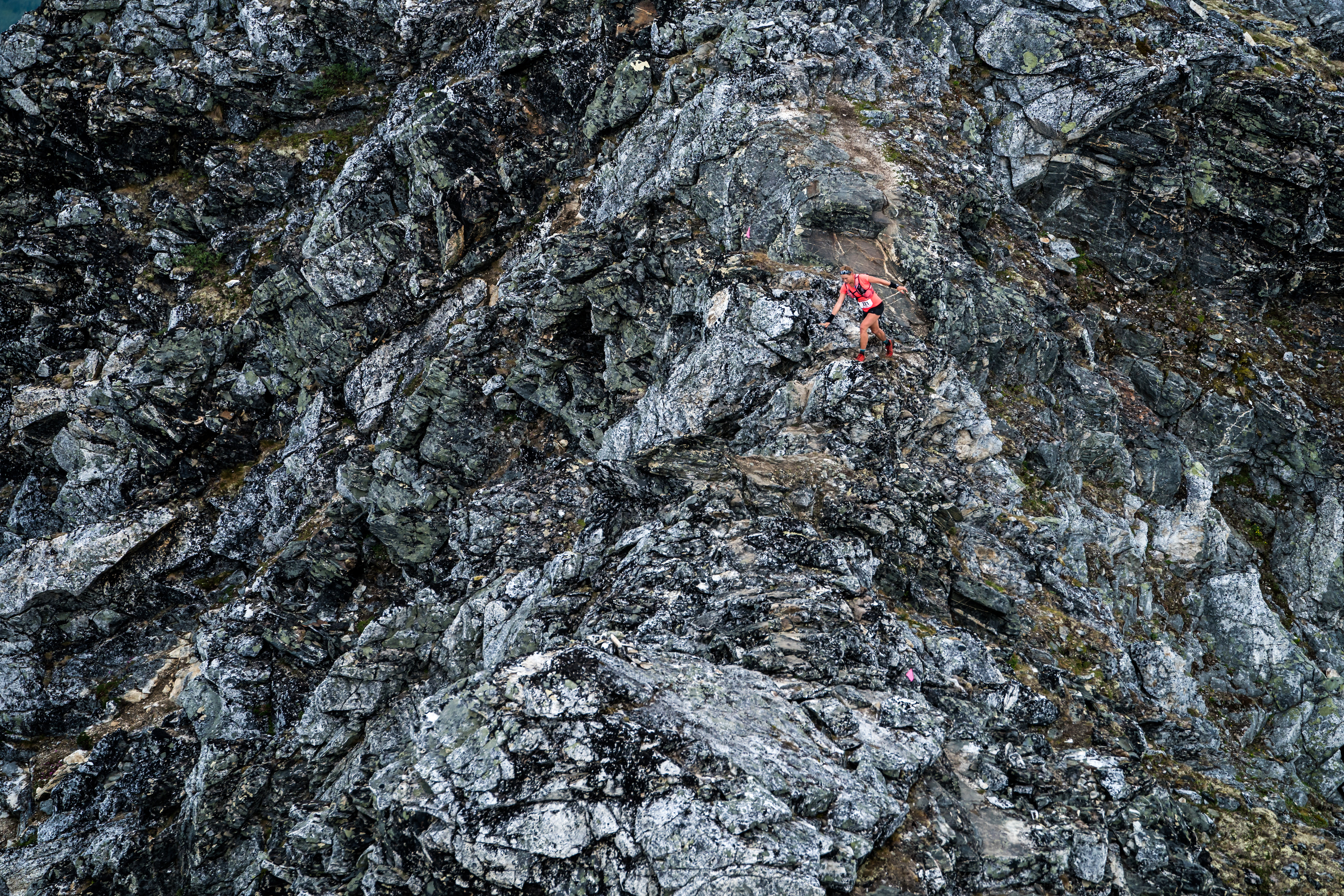
Hillary Allen, Tromsø Skyrace 2017 – photo moments before she fell.

I was there when Hillary Allen fell.

I witnessed the accident unfold. I climbed down to her, helped support her and remained involved until she was eventually airlifted to safety. Hillary survived. Her recovery became one of the most remarkable stories in mountain running. But witnessing the accident itself left a lasting impression.

What remains with me all these years later is not simply the severity of the fall. It is how ordinary everything appeared beforehand. There was no drama, on the contrary, I was joking and laughing with Hillary. One moment she was racing towards me and the next, everything had changed.

Seeing that reality up close removes any illusion that accidents only happen to other people.

Many mountain runners carry an unspoken belief: it won’t happen to me.

We may never say those words aloud, but the sentiment exists. We acknowledge risk while quietly believing that our experience, fitness or judgement somehow places us beyond it. The mountains have a ruthless way of correcting that assumption.

Experience can reduce risk, but it cannot eliminate it.

So how do we move forward when confronted by losses such as those of Ida and Kalie?

Perhaps the answer lies somewhere between acceptance and responsibility.

We should never romanticise death in the mountains. Every loss is a tragedy. Families lose daughters, sons, partners, friends and loved ones. The pain left behind is immeasurable. But equally, we cannot pretend that a life completely free of risk exists. Every meaningful pursuit carries risk, adventure contains uncertainty and our passions come with vulnerability.

For those of us drawn to mountains, the attraction is not recklessness. It is something much deeper. Mountains provide perspective in a world increasingly dominated by distraction. They challenge us physically and mentally. They expose weaknesses and reveal strengths. They offer moments of fear, humility, joy, wonder and achievement.

In many ways, mountain running allows us to experience the full spectrum of what it means to be alive.

The lows are real.

The highs are extraordinary.

Perhaps that is why we continue to return, not because we fail to understand the risks, but because we do. Life is finite, certainty is an illusion and to live fully, we want to experience everything that exists between birth and death: success and failure, fear and courage, loss and joy.

The challenge is not to eliminate risk. The challenge is to respect it.

As difficult as it may be to admit, perhaps the answer is that we must learn to live with an uncomfortable truth – mountains are places of extraordinary beauty, freedom and possibility, but they are also places where consequences can be severe – risks can be reduced, managed and understood, but they can never be removed entirely.
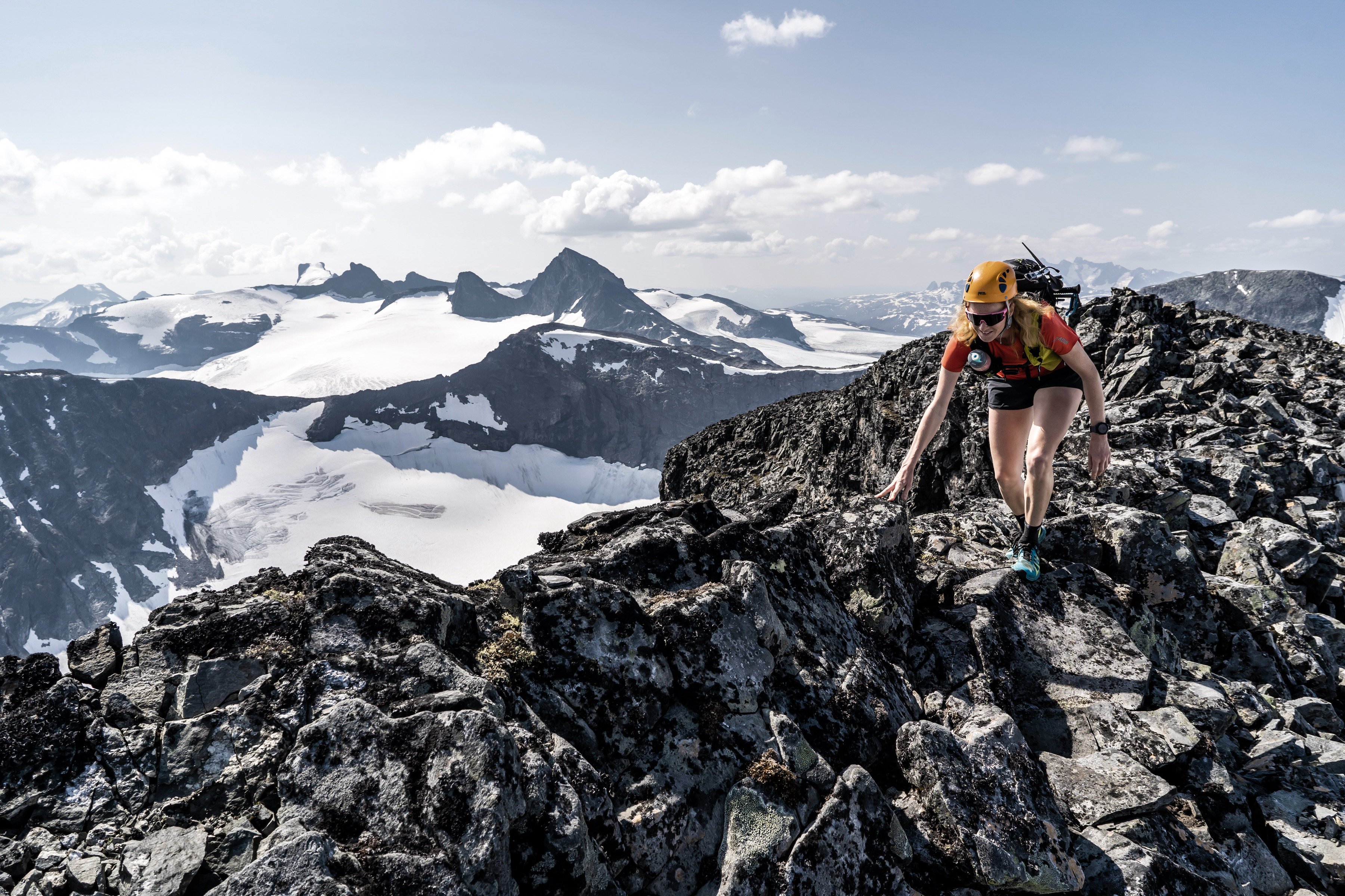
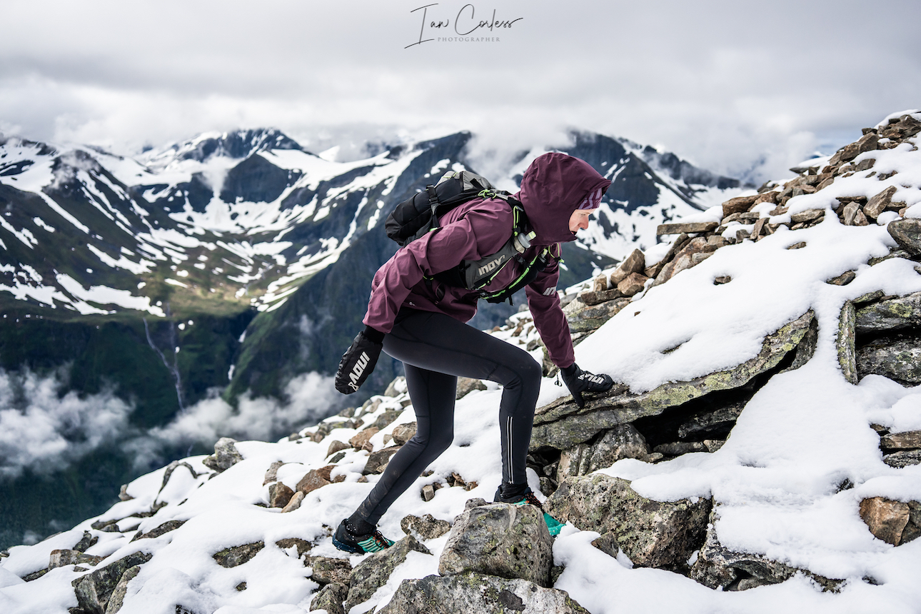
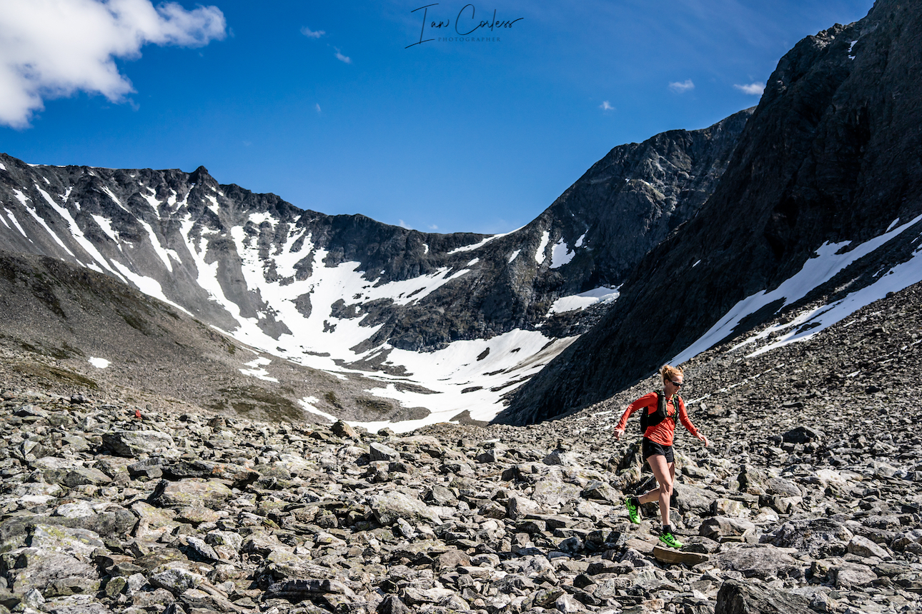
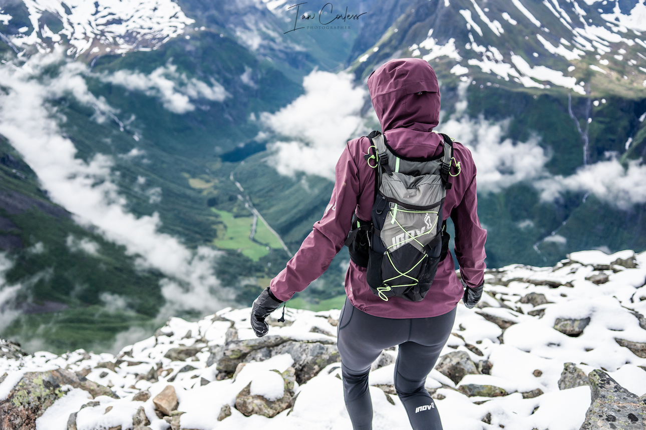
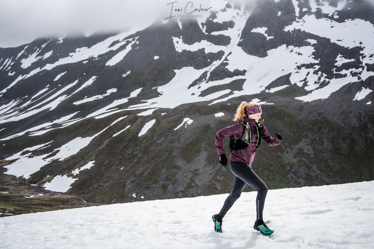
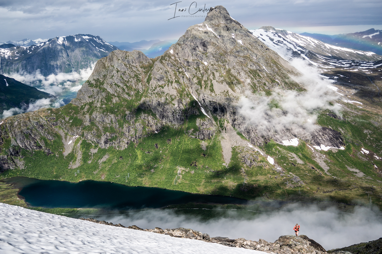
The correct equipment can help mitigate certain scenarios – Jotunheimen, Norway

Experience teaches us that there is wisdom in slowing down when conditions demand it. Wisdom in carrying the extra layer, in choosing safety over speed, in using more equipment rather than less when circumstances require it. Sometimes the strongest decision is to turn around without embarrassment or stop when instinct quietly tells us that today is not the day. Caution is not weakness, retreat is not failure.

Because the mountains do not care about our ambitions, they do not care about our race plans, our summit goals or the expectations we place upon ourselves. Long after we have left, they will still stand exactly where they are today. They will be there tomorrow, next week and next year.

The goal is not to conquer the mountains – they cannot be conquered, they are the boss. The goal is to enjoy a lifetime within them, to return again and again, collecting experiences rather than close calls – memories rather than regrets. To understand that success is not measured by summits reached, ridges traversed or finish lines crossed, but by the opportunity to come back and do it all once more.

Mountains have given many of us some of the most meaningful moments of our lives. They have taught us humility, resilience, perspective and joy. They remind us how precious life is precisely because they reveal how fragile it can be.

And so we continue.

Not because we ignore the risks, but because we acknowledge them. 

Not because we believe nothing can happen to us, but because we understand that a meaningful life is not found in avoiding every uncertainty.

__________

And finally, our thoughts, love and deepest sympathy are with everyone affected by these tragedies. To the families, partners, friends and wider communities of Ida and Kalie, and to anyone who has ever lost someone they love in the mountains or elsewhere, there are no words that can lessen such heartbreak. Grief is the price we pay for love, and the depth of that loss reflects the depth of the bond that remains. May you find comfort in the memories shared, strength in those around you and peace in knowing that the lives they touched will continue to be felt for many years to come. We hold you in our hearts.

Follow Ian Corless

Instagram – @iancorlessphotography

Twitter – @talkultra

facebook.com/iancorlessphotography

Web – www.iancorless.com
Web – www.iancorlessphotography.com

Exploring Norway – Møre og Romsdal

Norway has long been a desirable location for the mountain enthusiast. One only needs to add the word ‘Norway’ to a Google search engine and you will be rewarded with photos that make the jaw drop. 

At roughly 33% bigger than the UK and 1/3rd the size of USA, one begins to understand the scale of this Scandinavian country and its 5.3 million inhabitants.

Just think about it, Norway is 33% bigger than the UK, but the UK has 66.6 million inhabitants.

Needless to say, outside of Oslo (681,000), Bergen (271,000) and other key locations such as Trondheim and Stavanger, open space and amazing landscape is available for all to explore.

In a series of articles and posts, we intend to introduce you to the magic of Norway. 

Norway is the longest country in Norway and therefore, travelling anywhere is not a quick process. It has 60.000 miles of coastline, towering mountains and dramatic fjords. Remarkably it has 2-300 peaks over 2000m+, Galdhøpiggen the highest at 2469m closely followed by Glittertind at 2464m. There are over 1000 peaks over 1650m, so, if you love mountains, Norway should be at the top of the ‘to-do’ list!

We started with HARDANGER (HERE) and followed up with JOTUNHEIMEN (HERE).

In this article we explore Møre og Romsdal 

Image galleries HERE

The list will grow as we progress through Norway, but expect additional posts on: 

  • Stavanger
  • Senja
  • Tromso
  • Lofoten Islands
  • Lyngen
  • Svalbard

And more…

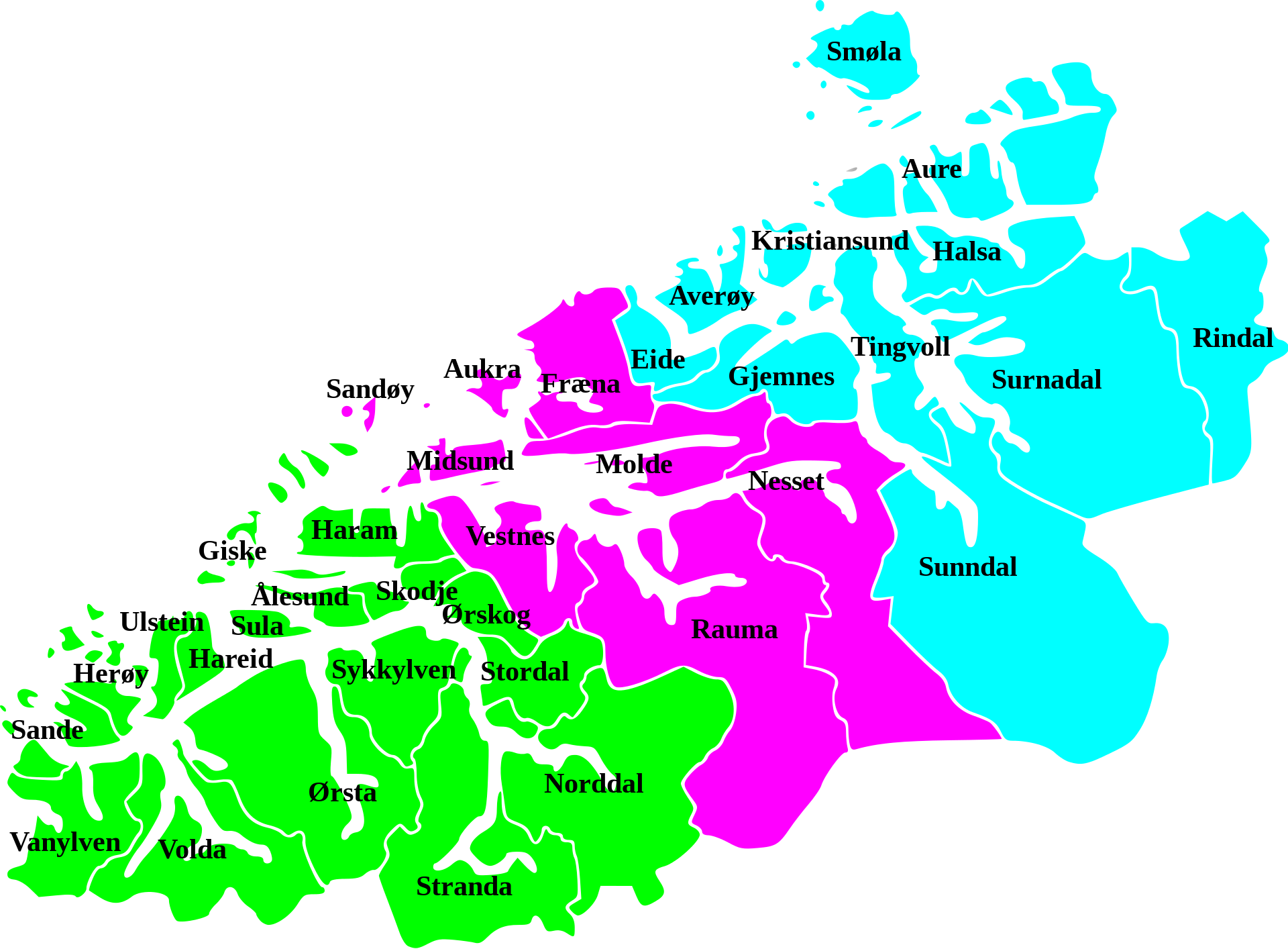
Møre og Romsdal 

 The name Møre og Romsdal was created in 1936. The first element refers to the districts of Nordmøre and Sunnmøre, and the last element refers to Romsdal. The three districts still have their own identities in many ways. Due to its difficult terrain, Møre og Romsdal has been very dependent on boat traffic, and its main car ferry company, MRF.

In terms of distance and travel, the entry to the Møre og Romsdal region is roughly 7.5-hours of driving from Oslo and 9-hours+ from Bergen. Møre og Romsdal is served by nine airports, of which only four airports have regular domestic flights. The largest airport in the county is Ålesund Airport, Vigra, which offers the only scheduled international routes from any airport in Møre og Romsdal.

The area is vast with 26 municipalities. Travel around the area, at times, can be lengthy and time consuming and if travelling by car, the need to use ferries may be required. We will look at the following areas: 

Stranda

Stranda is a municipality in Møre og Romsdal county, Norway. It is part of the Sunnmøre region.

Romsdalseggen

Romsdal is a traditional district in the Norwegian county Møre og Romsdal, located between Nordmøre and Sunnmøre. The district of Romsdal is named after the valley of Romsdalen, which covers part of Rauma. 

It is a popular area and in the months of June, July, August and September, you can fully expect routes to be popular with hikers, climbers and tourists. July and August being the key months due to more stable weather.

PRACTICALITIES

First and foremost, this is an introduction to Møre og Romsdal and we hope that you will read this article, digest the information and then plan your own adventure. There is much to explore in this area and countless trips will be required.

Møre og Romsdal ideally requires a vehicle, especially if you wish to travel say, from Romsdal to Stranda. However, you can take mini-breaks and stay in one area. Romsdal being a prime example, there are many route options.

In regard to accommodation, the best options are camping or using a hotel/ cabin. Remember, the word ‘cabin’ in Norway will often refer to an individual building (amongst many) on a campsite (different to a DNT Cabin). A cabin may well combine the best of both worlds, a cross between camping and a hotel. Please check details for each cabin, often, you need to bring your own sheets (silk liner for sleeping bag?) and towels. Trollstigen Resort (here) is an excellent example of what is on offer. On a personal perspective, camping is preferable with the option to stay 1, 2 or maybe 3 nights in a hotel (depending on the trip) to shower/ freshen up and then camp again. Also helps keep costs down. Although wild camping is allowed in Norway, some areas have less options than others. For example, on arrival in Åndalsnes the option to wild camp was limited, so, we stayed on an official site called Soggebru Camping which was a short drive from Åndalsnes but much quieter than others on offer.

OVERVIEW

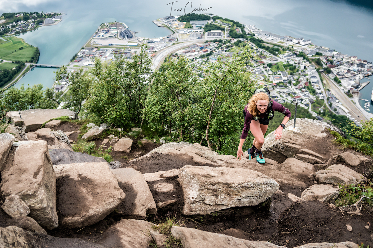
Looking down on Åndalsnes

Åndalsnes is the start point for our journey and provides a central hub from which to explore. However, if you have a tent, the opportunity to wild camp is a ‘must do’ for several of the routes. (More information to follow below.) 

Dramatic landscape of Stranda

In Stranda, we used the option to stay one night in a hotel (Strand Hotel), this allowed us an opportunity to shower, launder clothes, have a good dinner/ breakfast and we then resumed wild camping. 

Climbing to summit Slogen.

Our final location Urke Møre og Romsdal, we camped at Urke Camping which provided access to Slogen and Saksa peaks. However, should you wish, there is an excellent hotel called Hotel Union Øye or there is a DNT Cabin (self-service cabin with provisions) that is ideal for the ascent/ descent of Slogen, Patchellhytta cabin.

Proposed Trip:

As mentioned, Møre og Romsdal has many options here are our ‘must do’ routes.

Areas to explore: 

  • Romsdalseggen (inc Blånebba)
  • Romsdalshornet
  • Store Venjetinden
  • Trollstigen
  • Trollveggen
  • Stranda Fjord Trail Race route.
  • Saksa
  • Slogen

 Schedule:

Day 1 – Travel to Åndalsnes and overnight.

Day 2 – Åndalsnes and the complete Romsdalseggen (inc Blånebba) out and back route. Drive to Vengjedalssetra Valley and wild camp. Camp near Venjesdalsvatnet lake or take the small climb to Litlefjelletand have a stunning wild camp with the Toll Wall facing you-

Day 3 – Store Venjetinden and wild camp as previous night.

Day 4 – Romsdalshornet and then drive up the impressive Trollstigen route, options for sight-seeing and walking if required. Wild camp.

Day 5 – Trollveggen via out and back route. Starts at the tourist center. Onward drive to Stranda for night in hotel.

Day 6 – Stranda Fjord Trail route and wild camp.

Day 7 – Drive to *Urke Møre og Romsdal and then climb Saksa.

Day 8 – Slogen climb and then overnight camp or onward travel. 

*options for camping, cabins, hotel or DNT cabin.

Please note: 

Some roads on this route are one way in and one way out. They often have a toll charge which is payable via a bank card. Many also need a mobile phone. A system is used in Norway called Vipps it may be worth doing some research to see if you can use this system, as I understand it, you need Norwegian bank account and phone number.

THE ROUTES 

Romsdalseggen

Romsdalseggen Ridge

This route is often undertaken as a point-to-point starting at Vengjedalssetra and finishes at Åndalsnes. To do this, the best option is to take the bus which leaves 08:30 or 09:30 (June 15 to August 30.) If this is your plan, you are strongly advised to book in advance.

However, our recommendation is a full day out, starting and finishing in Åndalsnes. This is a tough and challenging day and includes the highest point Blånebba. 

The route includes, Mjølvaskaret , Mjølvafjellet 1216m and Halsaskaret ridge.

The route starts in Åndalsnes next to a parking ground and immediately rises up with the first highlight being the Rampestreken viewpoint. This is a metal platform that allows you to walk out with stunning views over Åndalsnes (weather depending.) Romsdalstrappa rock steps lead upwards and finally everything opens up. A stone cabin Ottarbu is situated on Nesaksla should you need shelter in bad weather. From here, the route becomes more challenging and exposed depending on experience. The ridge narrows at Mjølvaskaret. Mjølvafjellet follows and now the terrain is more challenging with fixed chains and some exposure. Halsaskaret ridge is steep in places and in the wet, care is needed.

Progressing along, follow directly ahead to Blånebba. Any turn to the left here will take you to the valley where the bust takes the point-to-point hikers. The terrain steepens and is extremely rocky, Blånebba is the high point at 1320m. It is possible to explore here, look around and of course take photos. At all times take care.

The return route is via the way you came and although backtracking, it has a very different feel. What was down climbing is reversed and vice versa providing a great stimulus. The route is 20km+/- and the time it will take depends on many factors, for example we had rain and snow. However, a good pace and 4-hours would be achievable with photo stops. 

Store Venjetinden

Wild camp close to Vengjedalssetra, we suggest you go near Venjesdalsvatnet lake, there are some great camp spots at the top closer to Romsdalshornet and you have access to water.

The route to Store Venjetinden on the face of it looks like a straight out and back. Starting just off the road the start of the route is easy to miss due to overgrown trees. Expect your feet to get wet early on. 

You start climbing right from the start and continue to do so all the way. You need to feel comfortable moving over rock. Much of the rock is loose here, so, at all times take care. Snow may very well be present the higher up you go, so, be prepared with micro crampons and ice axe.

The higher you go, the more challenging the route becomes and some scrambling and climbing skills are required. At all times, keep asking, ‘can I go down the way I have come up?’ There is no shame in turning around.

The views on a clear day are remarkable providing stunning vistas over all the surrounding area. 

The route down is the same as the way you came. Again, care is needed on all the loose rocks. 

Romsdalshornet 

You can access Romsdalshornet route from the same wild camping place next to the Venjesdalsvatnet lake. However, if you are going to have a clear and calm night, we strongly recommend that you start the climb to Romsdalshornet and wild camp close to Litlefjellet. There are a couple of small pools here and stunning views of the ‘Troll Wall.’ Amazing at sunset and sunrise.

In the morning you can start the upward climb to Romsdalshornet which requires some climbing and scrambling at easy level until you arrive at the base of the horn. Continuing on very much depends on skill level and if you have climbing and mountaineering experience. Most people use ropes here, however, someone like Kilian Jornet considers this an easy scramble. 

“Fortunately – for most people – it is experienced as more demanding and dramatic from a distance than when you actually start climbing. From afar, it looks almost impossible, but as you get closer and closer, more and more formations appear and you see that the mountain is not so steep. Romsdalshorn is still a real challenge for most people. And an experience of a lifetime.” – Fjellguide.no

Trollstigen

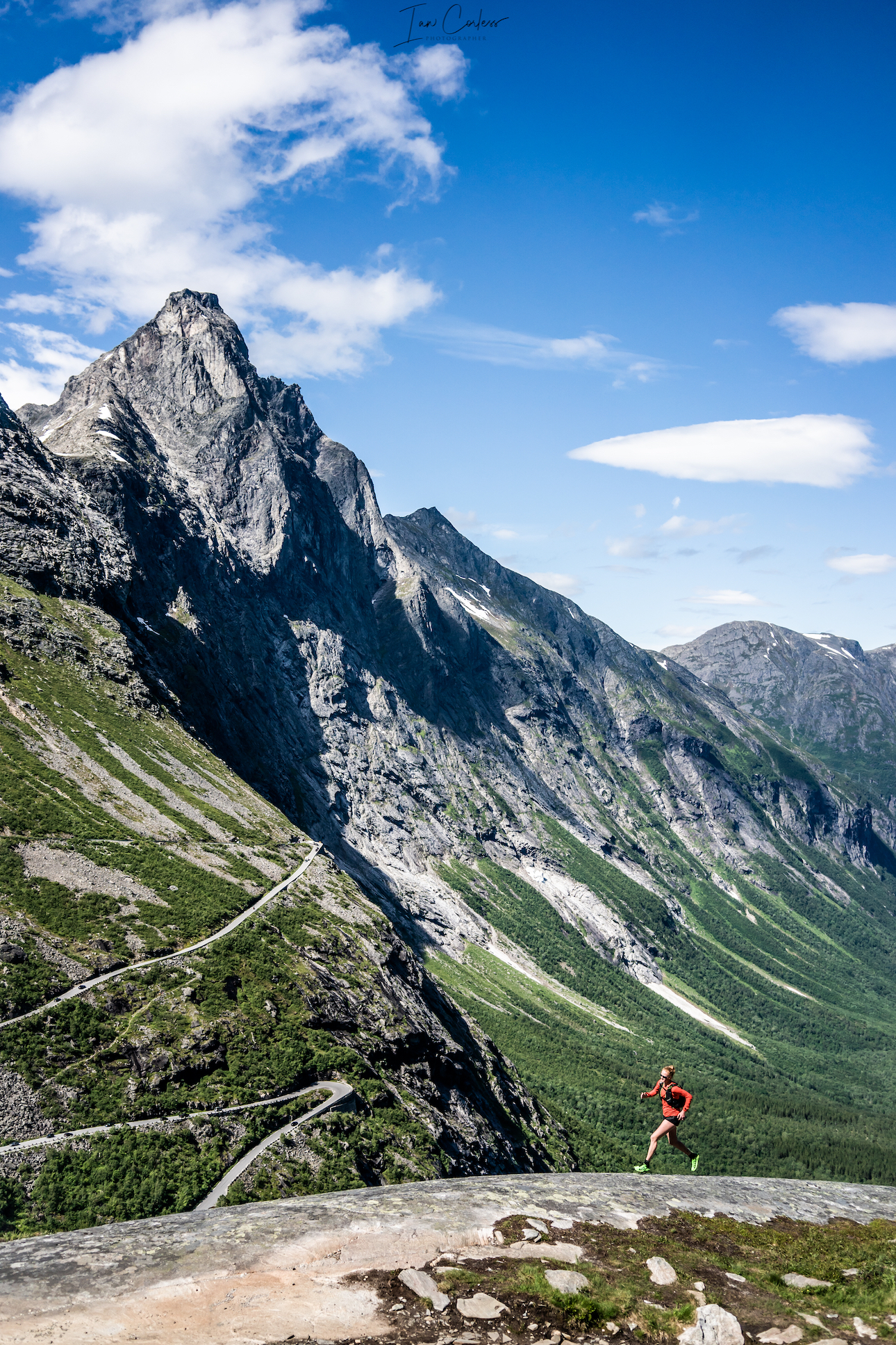
It is a popular tourist attraction due to its steep incline of 10% and eleven hairpin bends up a steep mountainside. Visually spectacular, there are options to stop and soak in the views. Should you wish, there is a trail that starts in the valley and goes all the way up. Stigfossen falls is a highlight of the region which drops 320 metres down the mountainside. 

Trollveggen 

Trollveggen is the main reason why you would take the hair pin bends of Trollstigen. At the plateau once you have finished driving upwards, you will see a large parking area to the left. Here is a tourist center, cafe and several options for viewing platforms.

It also provides a wonderful out-and-back route to Trollveggen.

The Troll Wall is the tallest vertical rock face in Europe, about 1,100 meters (3,600 ft) from its base to the summit of its highest point. At its steepest, the summit ridge overhangs the base of the wall by nearly 50 meters.

The wall has an incredibly history of climbing, however, it is extreme and requires great skill. The route we take is a run/ hike and depending on time of year and conditions, much snow can be encountered. 

The route is an uncomplicated out-and-back over initially easy terrain, however, there are some significant boulder fields to cross and in the latter stages, a great deal of potential for snow. Be prepared for all weather.

The route is not long, at most 12km however, the terrain can be slow and all the way out, you are climbing. The return is much quicker. 

Stranda

The journey to Stranda should not take to look from Trollstigen, expect 90-minutes, however, you will need to take a ferry on the final leg. After many day’s camping and the mountains, now is a good time to spend a night in a hotel.

The Stranda Fjord Trail Race has several route options 25km, 48km and 100km. Our recommendation is the 48km and there are options to make this a fastpack over 2-days or, you can cut the route short finishing at Stranda. Slogen which appears in our schedule later was also part of the 100km route, so, you get the best of both worlds. A GPX track is available here. 

The routes here are stunning and challenging. Be prepared for tough terrain, changeable weather and stunning views. There will most likely be snow at times.

You have the option to start in Stranda adding km’s or take a bus to the race start point at Opshaug.

The early sections of the route are easy and at times runnable. Forest trail opens up with stunning views of the Fjord. Eventually, the trail will become steeper and steeper and you will climb an almost vertical wall of green moss. 

Once through this, the terrain turns to rock and boulder and you will climb and climb all the way to Fremste Blåhornet 1478m. At the summit, you will turn around and retrace but instead of turning right and taking the path you came up, you will continue on. Heimste Blåhornet is the next peak. The terrain is at all times challenging and although the route has markers, you are advised to follow a gpx.

Lofonmfjellet is the next significant peak at 1178m but what is between is no means easy, the terrain constantly asks questions of you. 

Rodsethornet 1085m follows. This section has some great ridges and exposure with stunning views below. 

Now you make your way back to Stranda with approximately 30km covered. You have the option to end the day, or continue on for the additional loop which takes in 3 significant peaks at 1230m, 1144m and 849m. 

Note – This whole route is a challenge!

Saksa 

The drive from Stranda to Urke Møre og Romsdal takes approximately 1-hour and the final section is stunning. Please note it is a dead end at Urke, you need to return via the way you came.

There are many possibilities for wild camping in this area, both in the valley and when out on the trails. We decided to stay at Urke Camping as it was very close to the climb of Saksa.

While Saksa may be one of the lower peaks in the area, it’s a wonderful little climb up and down that can be fitted in to any day. On a clear day, the views apparently are magnificent. For me, it was wind, rain, mud and pretty much no visibility. 

The route is like a classic VK winding up the mountain, at times on good single-track, other times, Nepali steps. In the wet, the trail gets very muddy and the rocks slippery. The final push to the summit is steep but there is little difficult terrain to worry about. 

Slogen

At 1564m, Slogen is a straight up climb from sea level and as such, this route brings its own challenges. You can break the climb up by staying at Patchellhytta Cabin, however, our choice was up and down in the same day. 

We chose the steeper and direct route starting near Øye.

Early climbing is in forest and once out of the tree line, the views and trail open up. At times it is steep but not technical. Eventually you will arrive at a ’T’ junction, almost certainly a snow field will be ahead of you. Here you go left to the summit. Notably, right will take you to Patchellhytta Cabin – this will be the route down.

From this ’T’ to the summit, the challenge increases as does the difficulty. For our ascent, snow had fallen over night adding to the challenge. Experience and comfort with some mountain exposure is recommended but not essential. Moderate climbing and scrambling skills are required; and the challenges increase closer to the summit. As always, self-check and ask, ‘can I go down what I have come up?’

Even though it is not among the highest peaks in Norway, the mountain is rated among the top ten mountain hikes in Norway. This is largely due to its beauty, view, and the fact that it’s rising directly from a fjord.

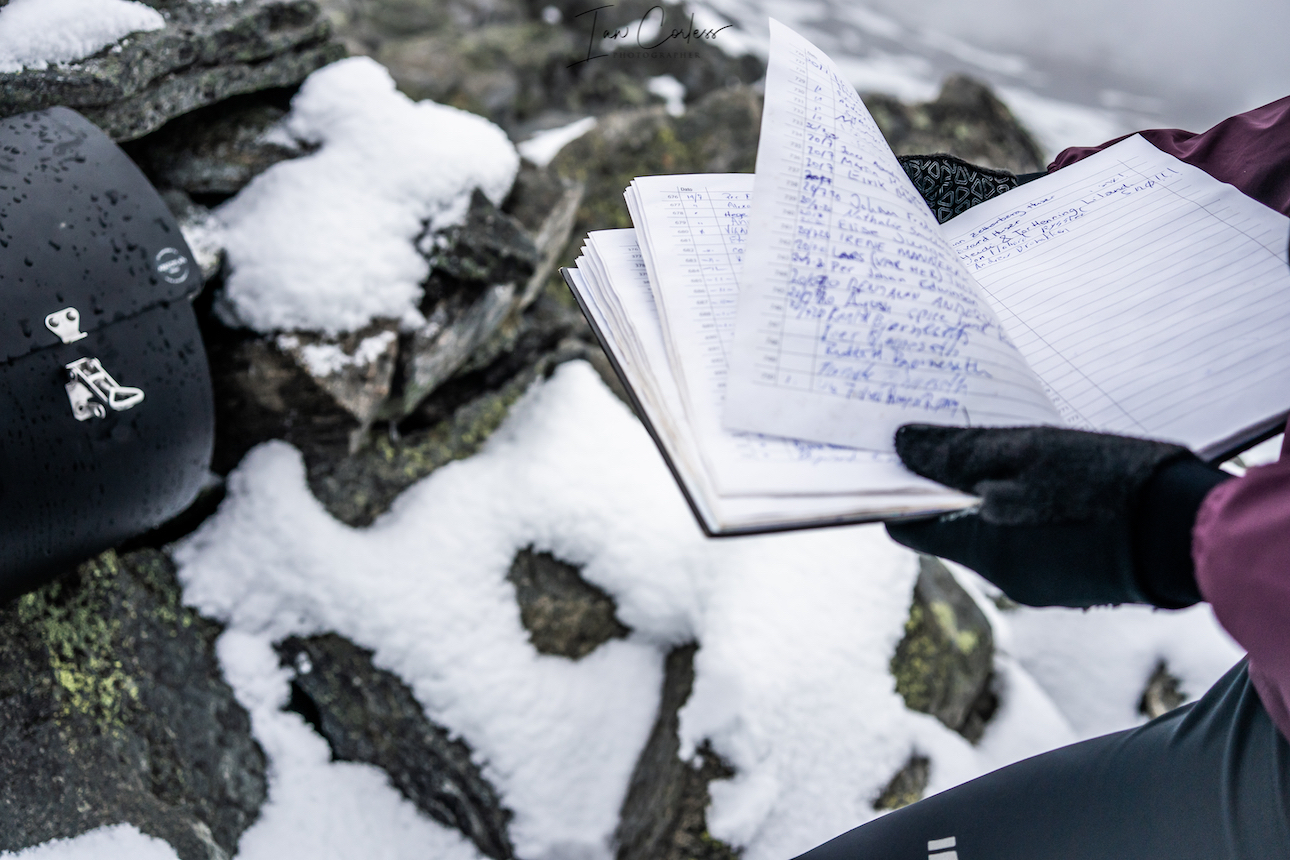
At the summit, there is a box and you can sign the book. On a clear day, views are amazing. 

On the descent, continue in a reverse direction as to the way up. At the ’T’ continue on along the ridge and follow the markers. In the distance you will see Patchellhytta Cabin. 

At the cabin, turn right and then follow the trail back down to the main road at Skylstad. The route down is rocky at first and then transitions to forest trail. If there has been a great deal of rain, expect mud and slippery conditions. 

It’s a stunning round trip route. 

As a recommendation, start early. We were on the trail up by 6am. 

RECOMMENDATIONS 

Never underestimate the mountains and the environment in which you are exploring. Snow can be a factor on all of the above routes and in July, we had some snow on every route. In particular Slogen. It is advisable to have micro crampons and an ice axe as a back-up for some of the routes.

Weather is crucial and many of the above routes would become very dangerous in bad weather. I cannot emphasize enough that grip is essential! You need an outsole that works on wet and dry rock. Running shoes are very personal but recommendations are VJ Sport MAXx and XTRM, Scott Supertrac RC2 and inov-8 Roclite. 

Be prepared, Norway can throw 4 seasons at you in 4 hours. 

  • Suitable pack
  • Hat
  • Gloves
  • Warm insulated layer
  • Warm trousers
  • Waterproof jacket/ pants
  • Food for the duration of the hike and some contingency
  • 1,5 ltrs of water (which can be replenished on all the routes via streams/ waterfalls)
  • Take water purification tablets as a just in case and consider a water purifier such as MSR Water purifier
  • Map/ Compass
  • Charged mobile phone with a suitable App such as ‘Footpath’ (here)
  • Cash/ Card
  • Garmin InReach or similar
  • Bivvy bag
  • Sunglasses
  • Suncream

Plan your routes, be realistic on timings and always start early. One of the huge advantages of outdoor activity in Norway is daylight. In June, July, August you have plenty of light.

CONCLUSION

Møre og Romsdal  has a great deal of variety and has something for experience and relatively inexperienced.

We touch on the possibilities available and trust me, you can spend months and months here and still have plenty of routes and options to keep you occupied. 

This article is created as a gateway to the area knowing only too well that it will whet your appetite for other adventures.

A car is advisable to get around and facilitate more exploration but of course, it is not essential. 

In comparison to our other articles on Exploring Norway, Hardanger and Jotunheimen, Møre og Romsdal is more extreme and on a par with Jotunheimen.

We cannot emphasize enough the role of weather and the impact it has on all of the above recommendations. The mountains will always be there, cancelling a planned route or turning back is acceptable and wise.

PERSONAL NOTE 

Special thanks to Abelone Lyng who has extensive knowledge of the area, her experience was invaluable in planning routes and making a workable itinerary.

Please support this website. I believe everyone deserves to read quality, independent and factual articles – that’s why this website is open to all. Free press has never been so vital. I hope I can keep providing independent articles with your help. Any contribution, however big or small, is so valuable to help finance regular content. Please support me on Patreon HERE.

Follow on:

Instagram – @iancorlessphotography

Twitter – @talkultra

facebook.com/iancorlessphotography

Web – www.iancorless.com
Web – www.iancorlessphotography.com

Image sales –www.iancorless.photoshelter.com