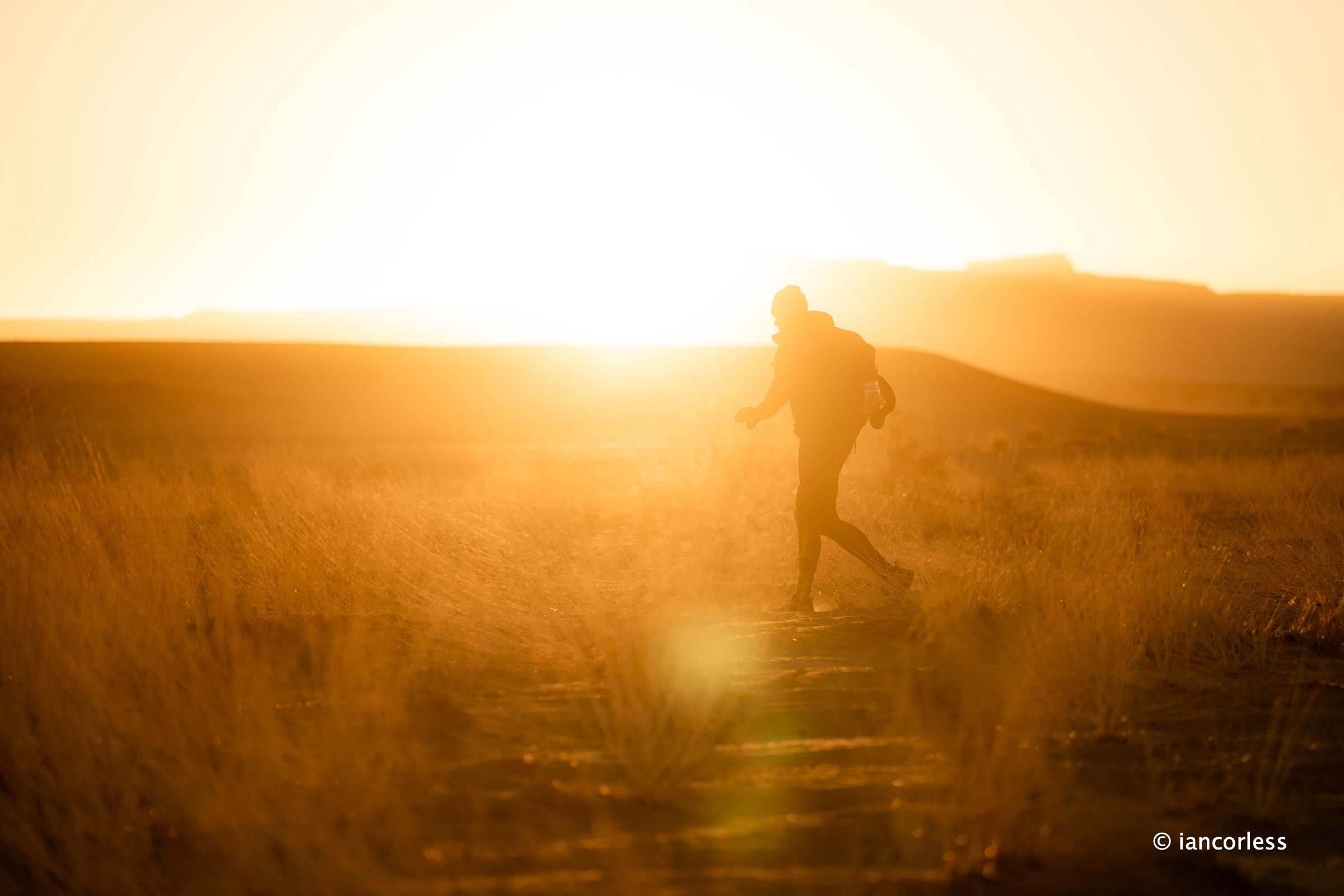
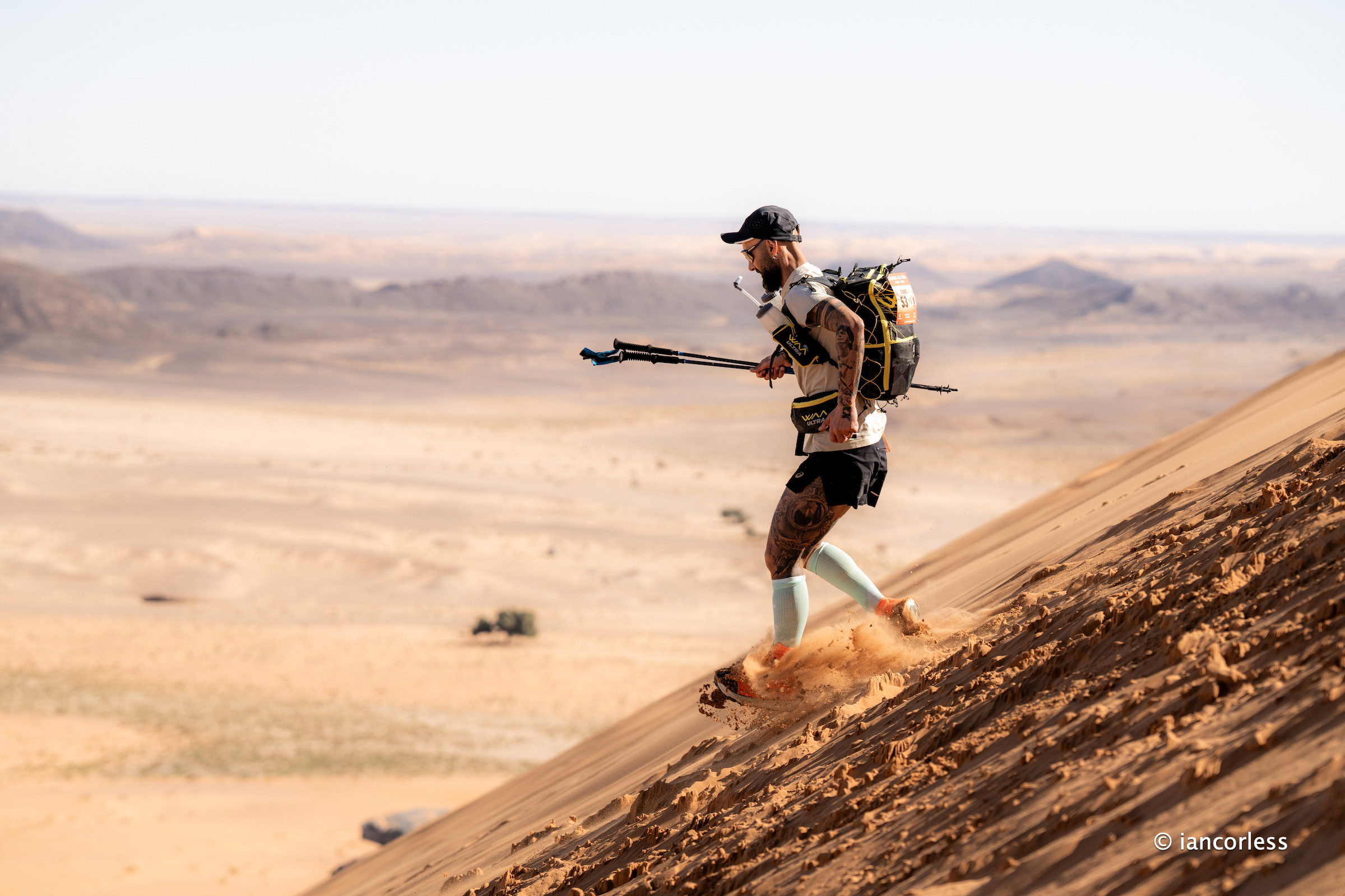
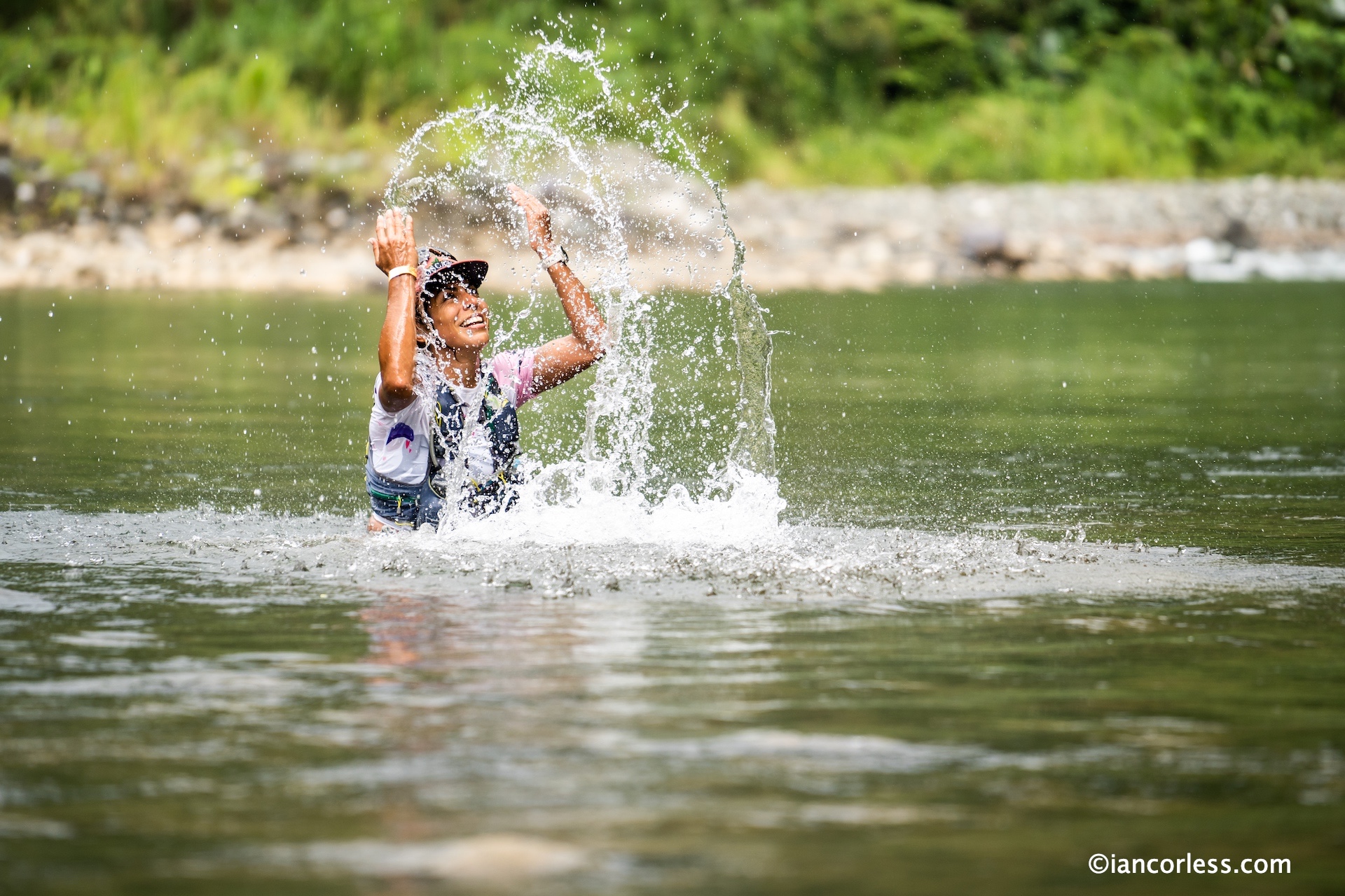
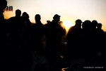
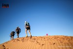
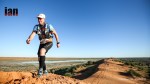
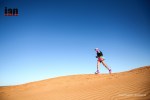
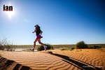
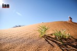
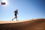
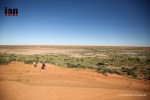
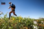
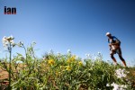
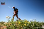
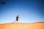
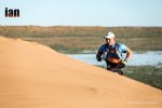
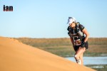
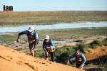
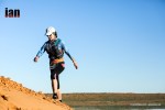
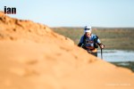
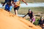
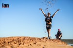
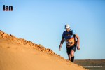
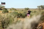
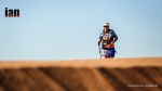
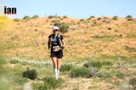
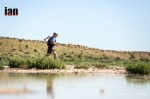
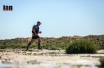
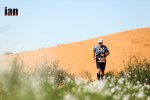
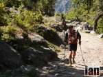
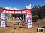
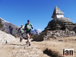
Forty years after the first chapter of desert racing was written, a new one opened in the Merzouga region of Morocco with the inaugural edition of MDS ULTRA. This was not a return to the past, an acknowledgement of history but also a clear statement of intent – one race, two distances, no stages and no reset. Just a single, continuous effort across the desert, with runners committing to either 100 kilometres or 100 miles within a strict 40-hour time limit.
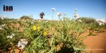
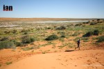
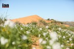
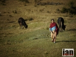
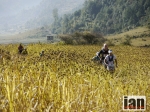
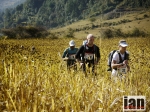
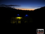
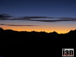
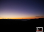
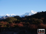
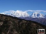
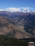
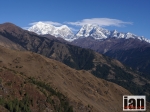
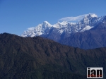
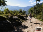
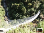
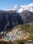
Set against the wide, open landscapes surrounding Merzouga, the race introduced a different way to experience the Sahara. Held in winter, the conditions reshaped the challenge. Days offered pleasant, manageable heat that allowed athletes to settle into rhythm and pace. Nights told a different story. Temperatures dropped fast, the cold biting through fatigue, turning the long hours of darkness into a test of preparation, focus, and resolve. Managing layers, energy, and morale became as important as managing speed.
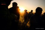
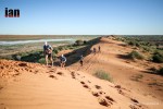
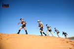
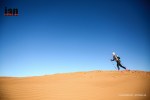
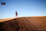
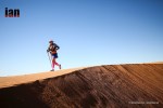
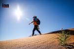
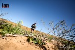
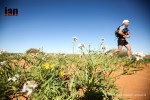
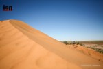
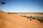
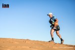
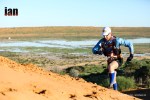
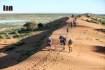
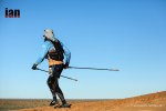
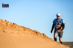
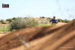
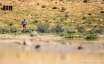
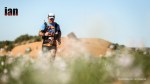
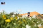
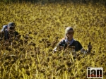
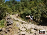
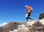
The course reinforced a stripped-back philosophy. Predominantly flat and designed with less soft sand, for some, it encouraged sustained running, for others, the distance and challenge required survival marching. But flat did not mean easy. Over such distances, the lack of variety became its own challenge. Every mistake was amplified, every slowdown hard to recover from. The desert demanded patience and discipline, hour after hour, the cold nights bringing the greatest challenge.
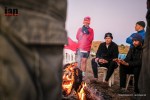
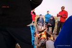
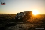
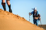
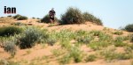
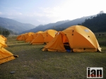
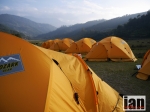
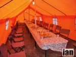
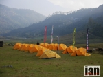
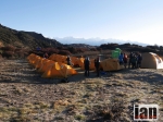
On the ground, the scale of the operation matched the ambition of the format. Five life bases were positioned across the route offering a place to sleep, food, a warm fire and incredible support. Nine water stations filled the gaps in-between and a team of 147 staff working across logistics, medical care, safety, and race control made the whole thing tick. Organisation was tight, communication clear, and participant safety central throughout.
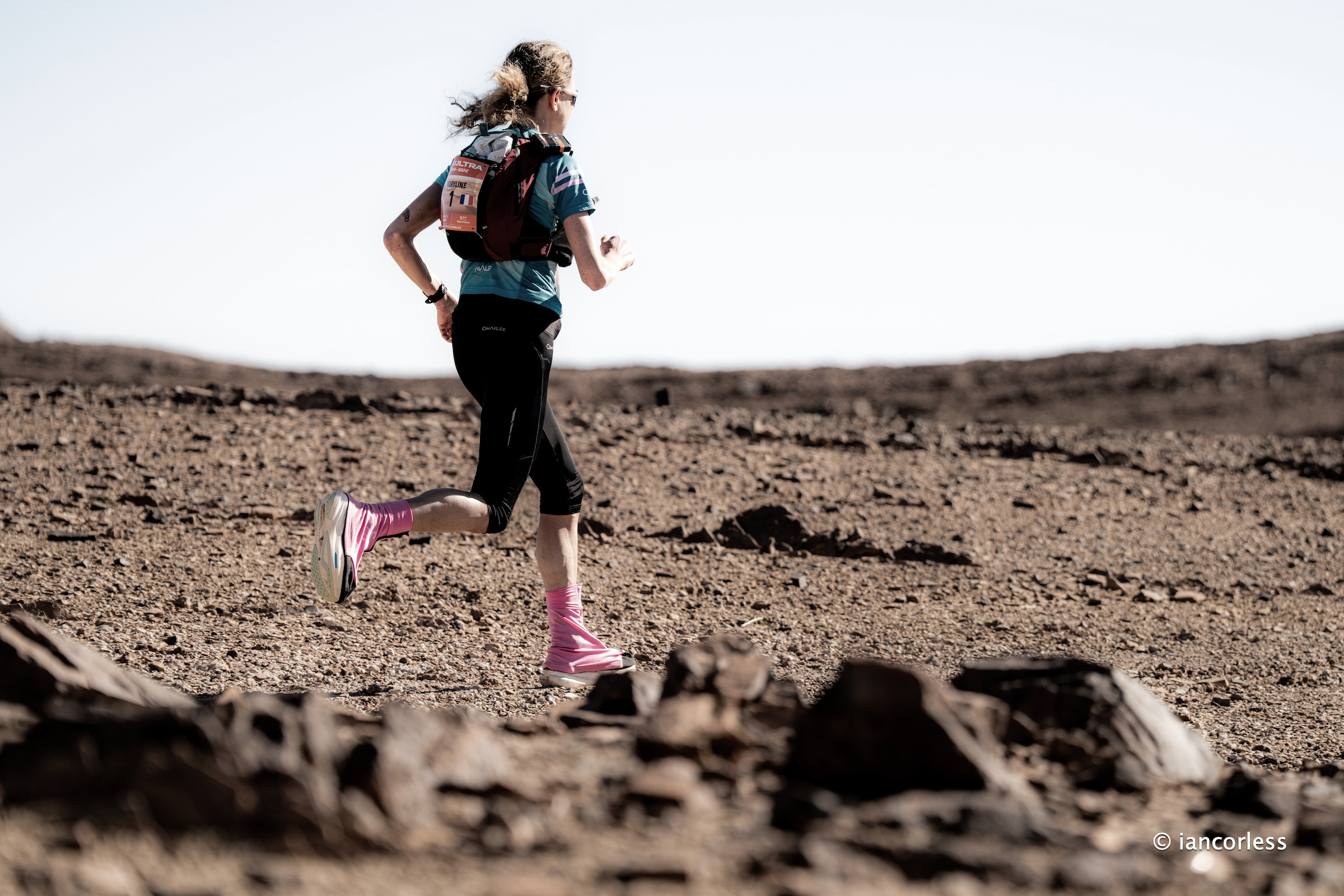
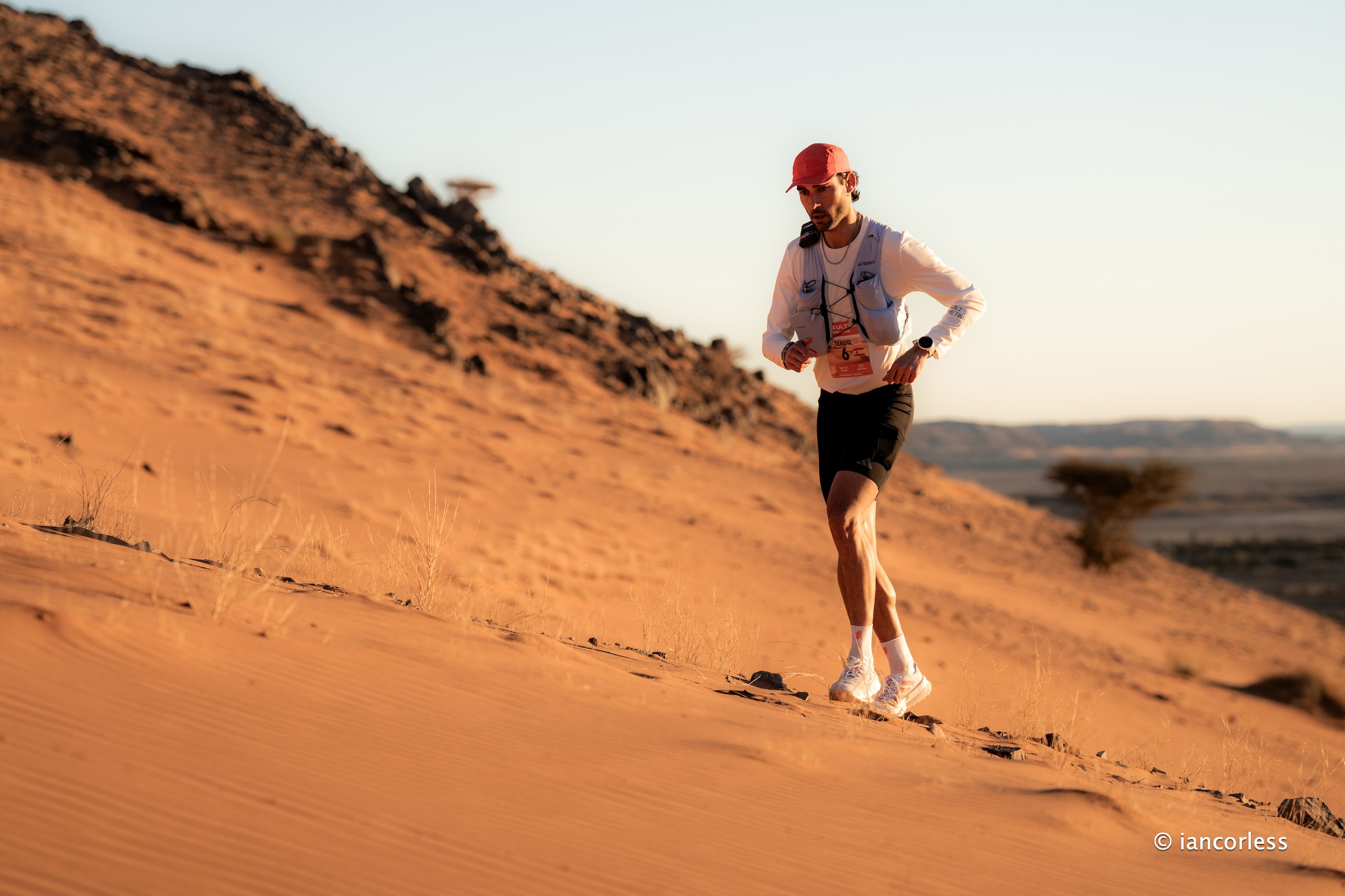
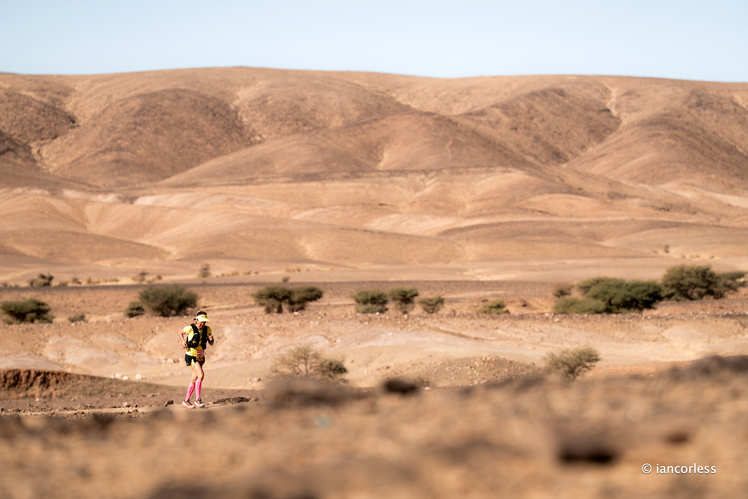
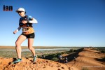
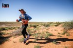
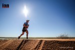
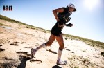
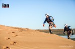
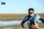
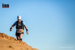
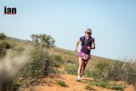
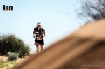
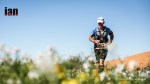
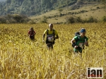
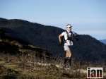
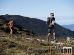
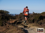
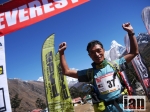
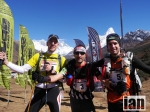
The racing itself gave the event its heartbeat. Athletes from 30 countries lined up, bringing an international energy to the desert, with women making up 30 percent of the field. What followed were two races and countless individual battles. In the 100-mile event, Martin Gallardo charged ahead in the early stages of the race, but after 40km’s, Maryline Nakache delivered a standout performance, coming from behind taking the outright win. In the 100-kilometre race, Adriana Moser claimed second place overall behind Sergio Turull, Francesca Canepa placing third – a podium underlining the depth and quality of competition across both distances and the dominance of women in the ultra distance.
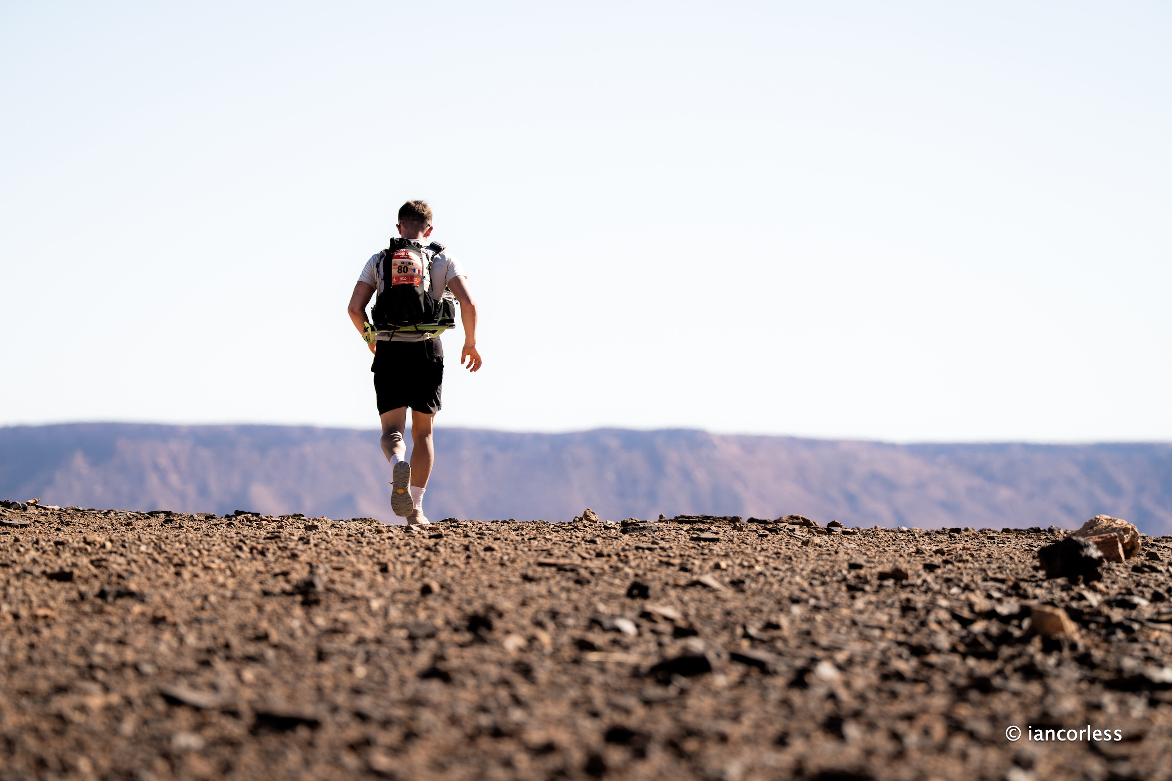
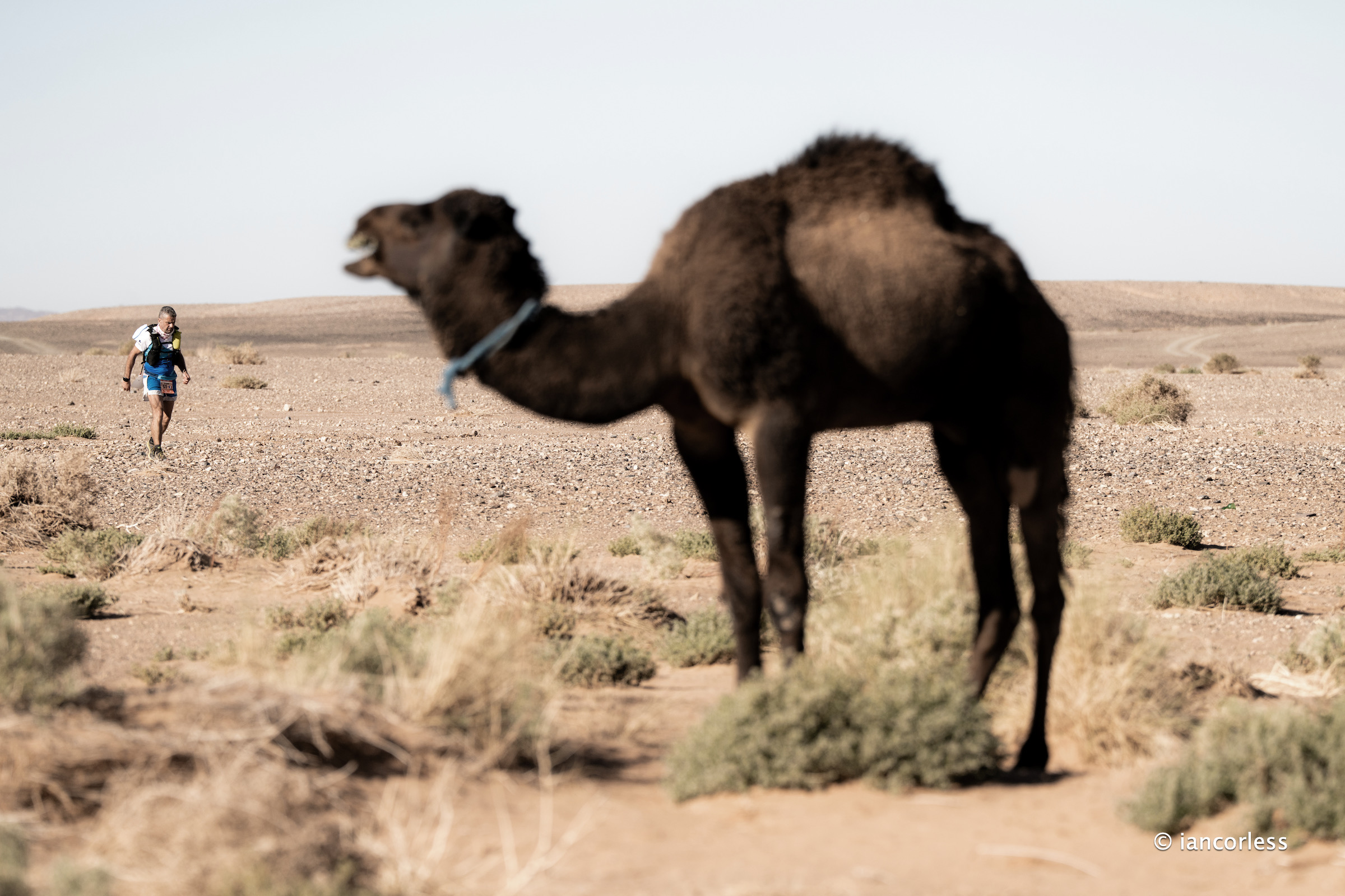
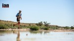
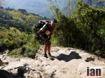
But beyond the podiums, MDS ULTRA was 40-hours of stories. The glory of victory played out at the front, while deeper in the field some runners faced the agony of a DNF – forced to stop by injury, exhaustion, or the quiet accumulation of small failures.
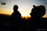
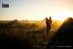
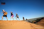
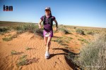
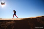
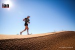
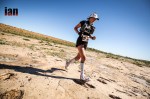
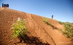
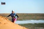
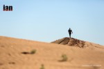
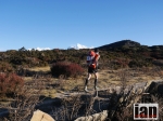
For others, the reward was simpler and just as powerful: survival. Reaching the finish after a single, unbroken push through heat, cold, daylight, and darkness.
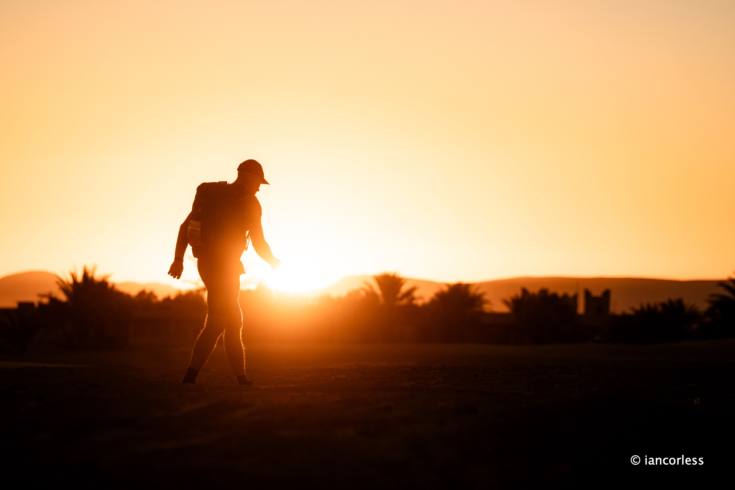
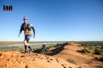
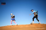
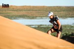
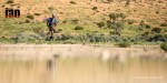
This first edition of MDS ULTRA established its own identity – it honoured Morocco’s and the MDS desert racing heritage without trying to recreate it. Fast but unforgiving, simple in concept and demanding in execution, it proved that even after four decades, the desert still has new ways to test those who dare to cross it.
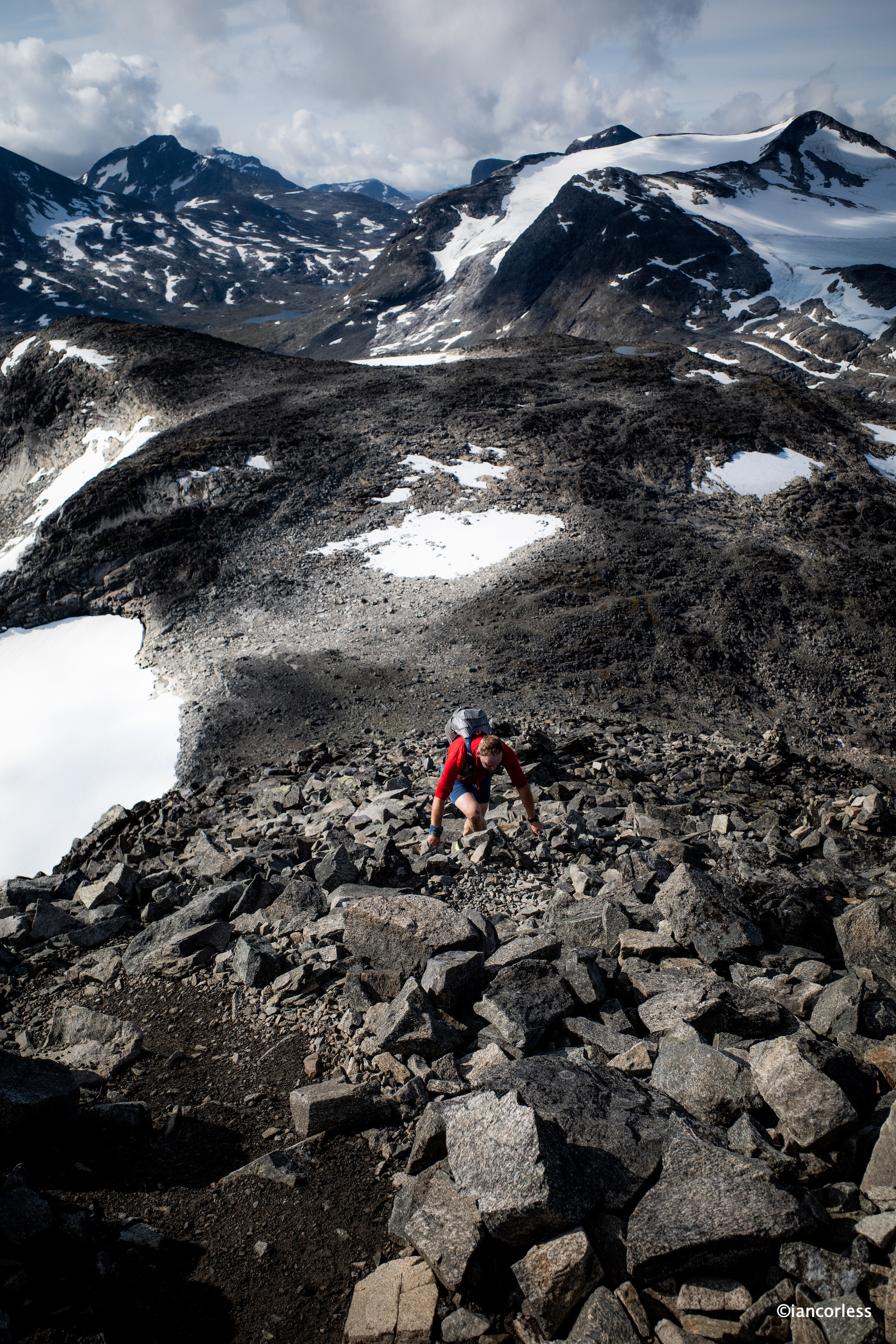
Home of the Giants 2024 has just come to a conclusion. And what a week it has been.
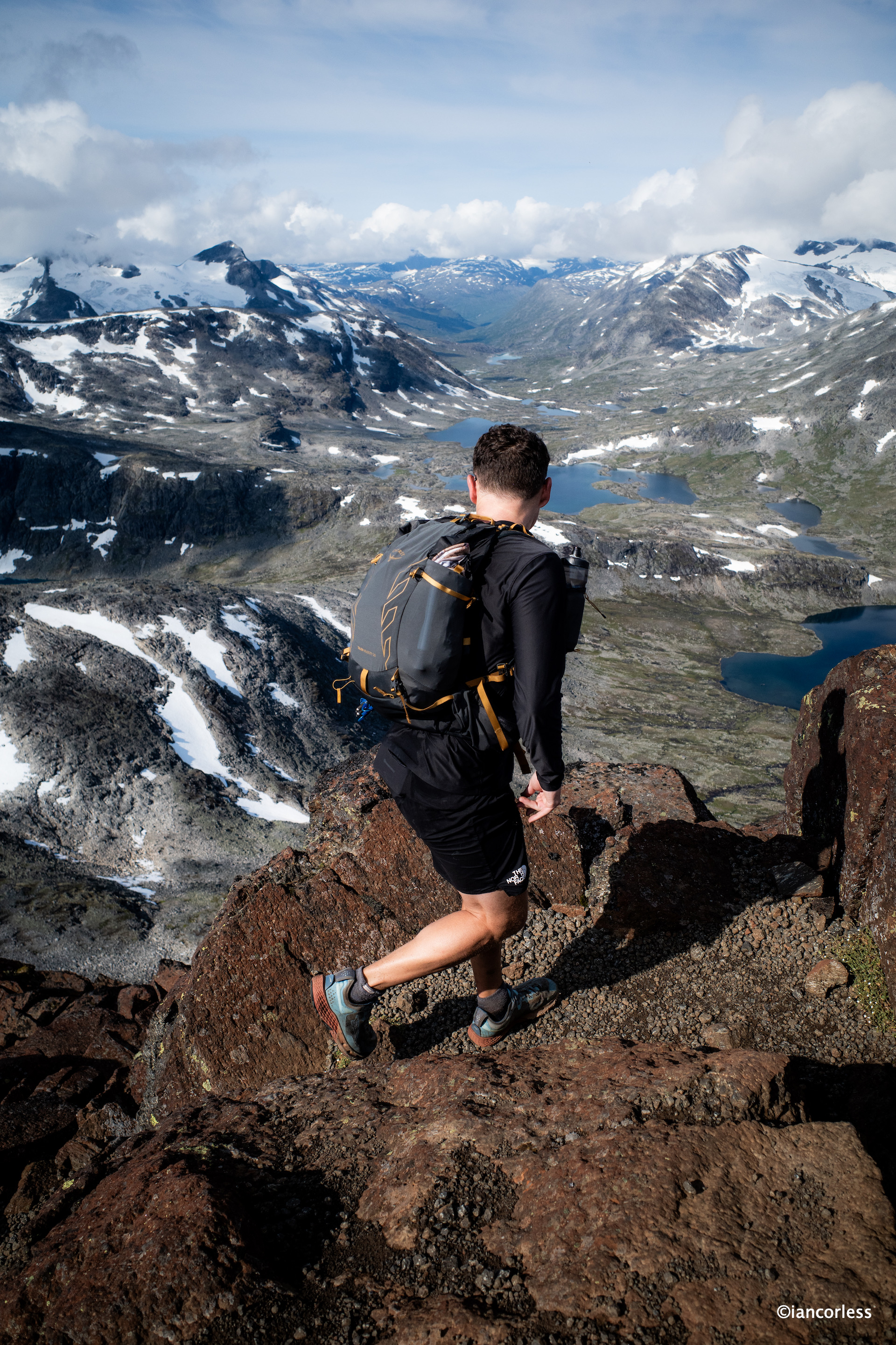
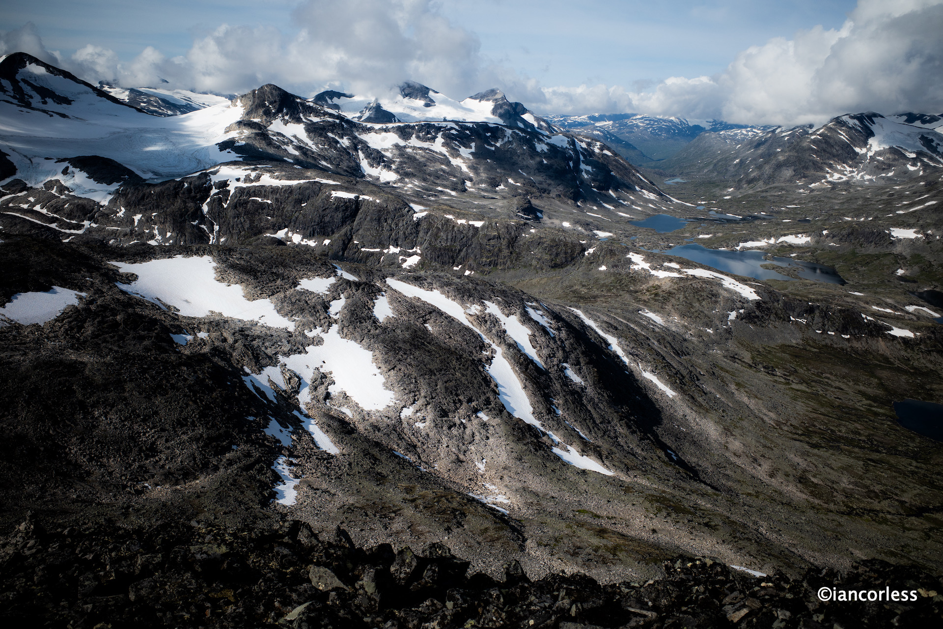
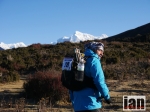
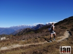
This trip came about through personal adventure in the Jotunheimen mountains of Norway and the desire to share and showcase this magical playground.
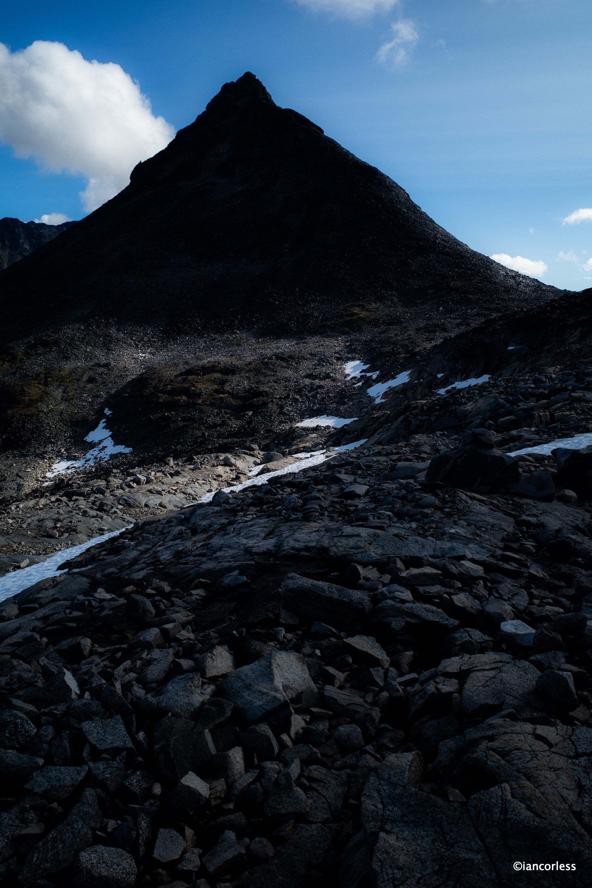
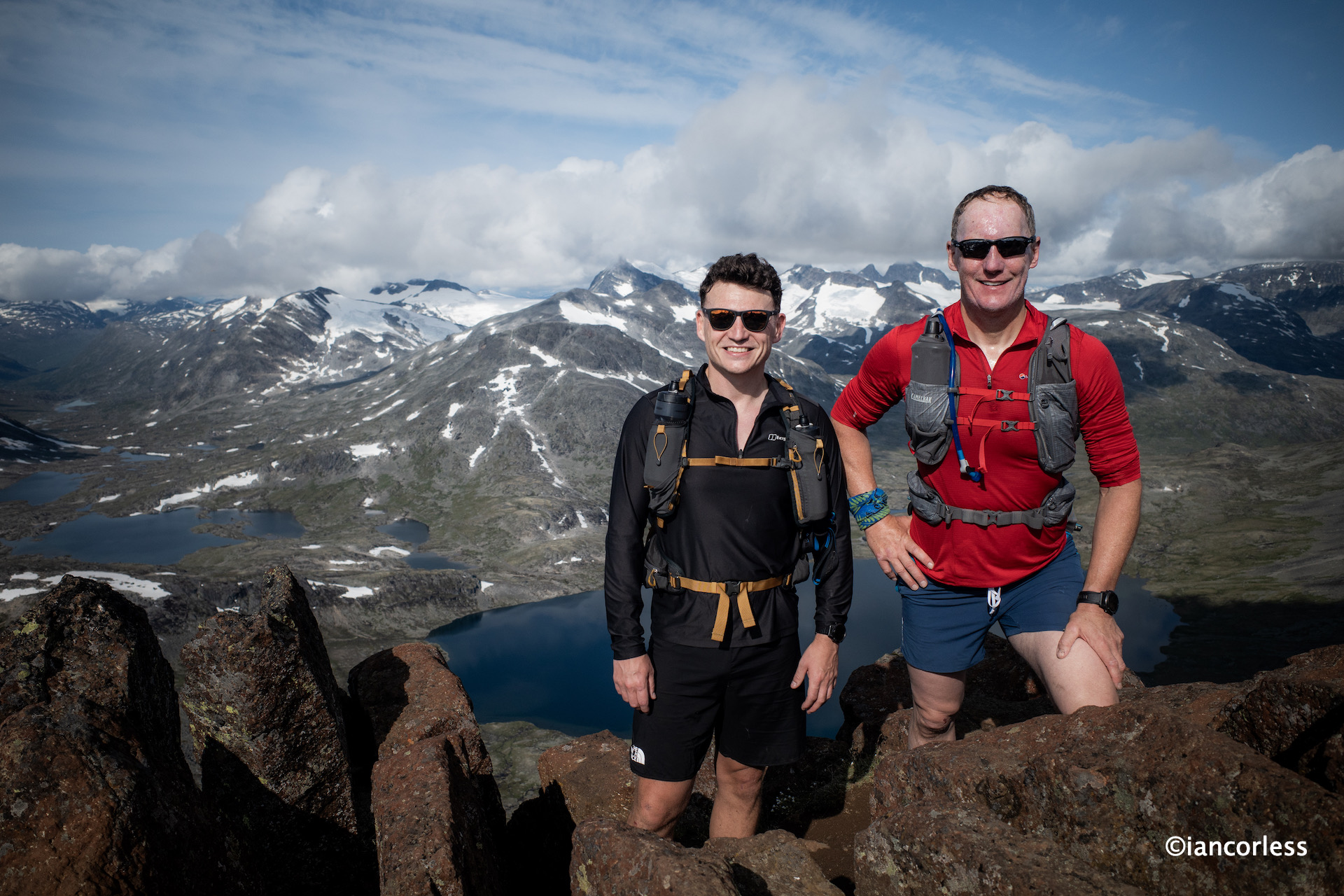
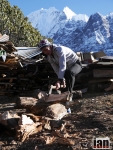
Baz at the summit of Kyrkja
What is Home of the Giants?
A multi-day adventure, 6-days in total, through a magical and challenging landscape. Unlike a race, this journey was created as a finely balanced exclusive trip for up to just 12 participants. A challenge at a more relaxed pace, taking in an amazing route whilst moving light in a semi self-sufficient mode using DNT cabins for overnight accommodation.
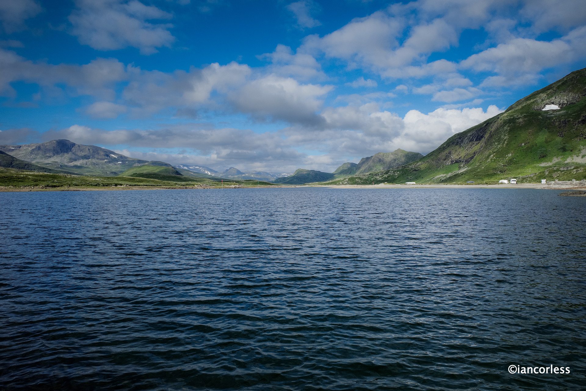
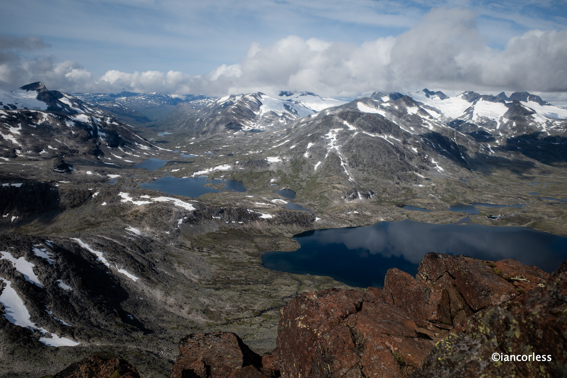
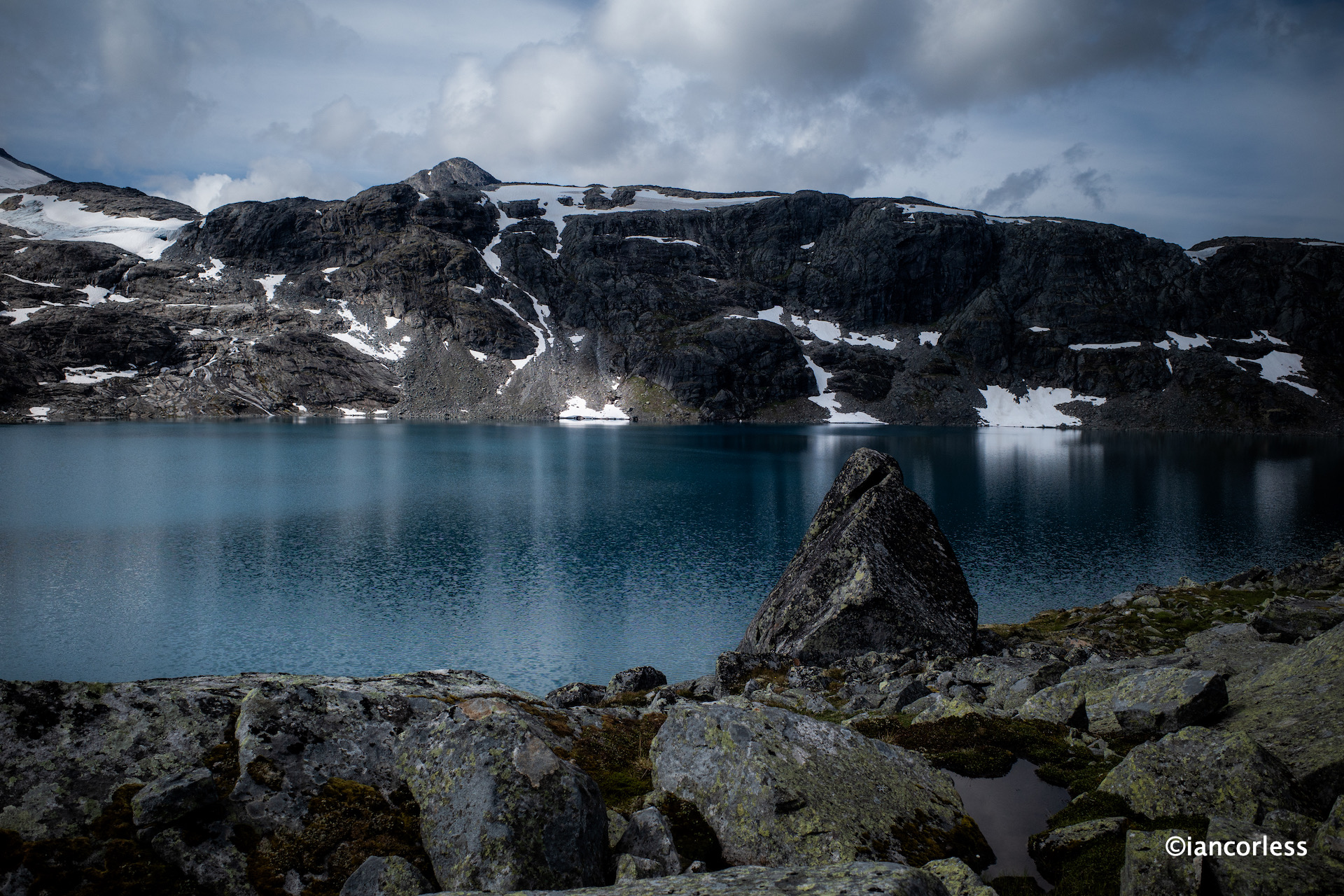
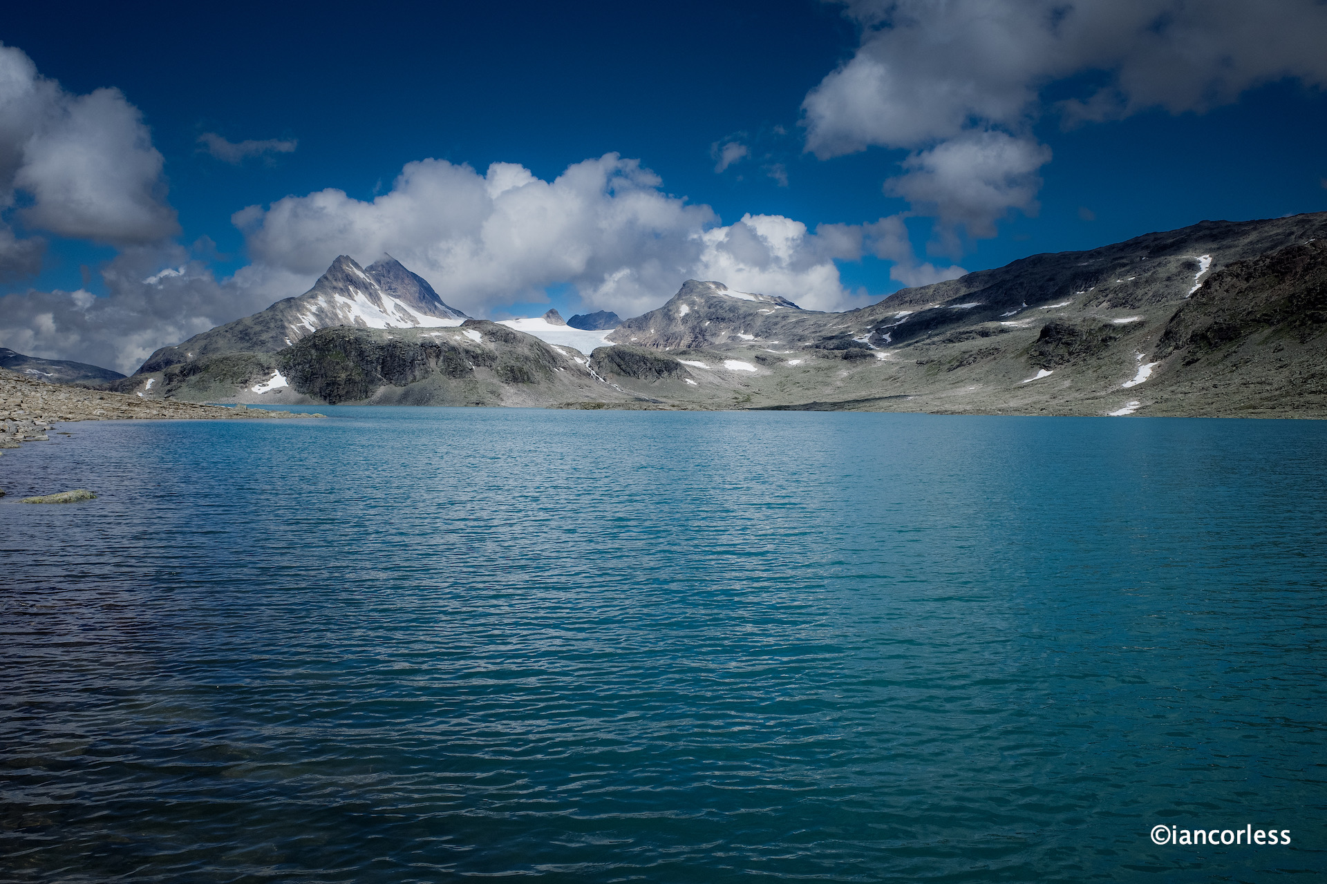
Lake Bygdin
Based around the concept of stage races, Home of the Giants is about moving lighter and therefore faster with a minimum amount of equipment without compromising safety. All we needed could be carried in a small pack weighing approximately 3kg (plus liquid).
It is important to emphasize that Norway can have spring, summer and winter in one day. Never underestimate the challenge of the environment. It is all well and good being light IF you can move fast. You also need to consider the ‘what if’ scenario and should you become slow or a worst case scenario, injured and waiting help/ rescue. At a minimum you MUST have merino top and bottom, warm insulating layer (down or PrimaLoft) waterproof jacket and pants, hat, gloves and a bivy bag. I also strongly recommend a product such as Garmin InReach. Much of Jotunheimen has no phone connection, an InReach with emergency SOS button, for me, should be mandatory.
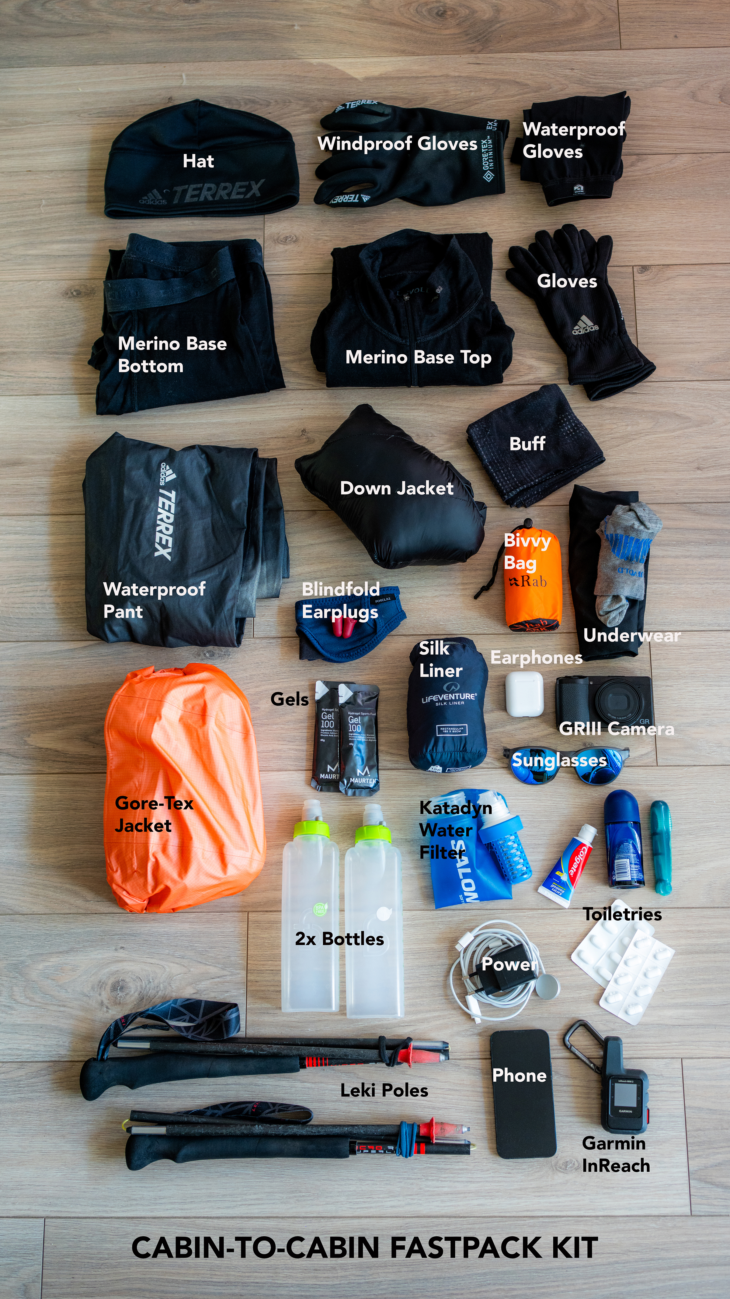
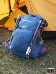
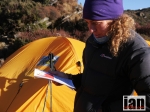
You can see an example of my pack below and the details are as follows:
Camelbak Octane Pack 600g
adidas hat 32g
adidas gloves Infinitum 52g
Hestra waterproof gloves 53g
adidas gloves 41g
Devold merino base top 193g
Devold merino base bottom 166g
Buff 43g
Haglofs down jacket 163g
adidas waterproof pant 125g
adidas Gore-Tex jacket 272g
Rab bivvy bag 110g
Underwear 98g
Gels 81g (for emergency)
Silk liner 126g
Blindfold/ earplugs 22g
Earphones 44g
Ricoh GRIII camera 251g (a luxury)
Sunglasses 18g
Bottles x2 90g
Katadyn water filter 52g
Toiletries 196g
Power supply 138g
Phone 136g
Garmin InReach 108g
Leki poles 250g
3379g
Staying at DNT staffed cabins provides the best of both worlds, they provide a bed for the night, dinner, breakfast, a packed lunch and they have additional facilities such as relaxation areas, showers and a bar. It’s the ultimate way to travel light in the mountains. Beds are in dorms or private rooms that depending on the cabin can be solo, double, triple, quadruple or five plus. Most DNT’s have a rule that irrespective of if you arrive and there are no beds, you will not be turned away, so, rest assured, a safe haven is always available.
OUR JOURNEY
Day 1 –Oslo to Bygdin
We departed Oslo bus terminal at 0830 Monday for a direct trip to Bygdin Fjellhotel. The journey taking 4-hours with a 15-minute break ideal for a midday arrival. The weather was grim with torrential rain for most of the way. It was an ominous start and constant glancing at weather apps confirmed that our week ahead would have mixed weather. It’s Norway after all!
Synshorn summit
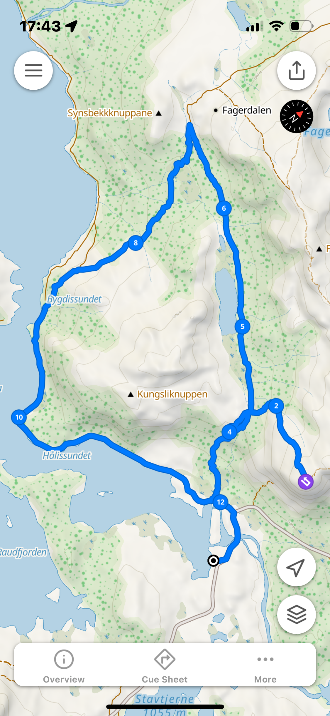
Arrival at Bygdin was seamless and after a break at 1500 we departed in the rain to take in the summit of Synshorn (1464m) which is a great introduction to Norwegian mountain terrain. The plan was initially to just summit and return, a 75-minute journey at a steady pace. However, the weather, although still wet, was not cold and after long travel, we all decided to continue for a back-up and planned 12km route. We followed the ridge north to Heimre Fagerdalshøe (1510 m above sea level) with a great view over Bygdin to Falketind. We then continued in the direction of Synsbekk and connected to the ’T’ marked trail that would bring us back to Bygdisheim and the lake for a short gravel road section back to the hotel.
Day 1 loop
It was a great intro to the week and then we could enjoy the benefits of Bygdin Fjellhotel – a warm shower, sauna and a lovely traditional Norwegian dinner.
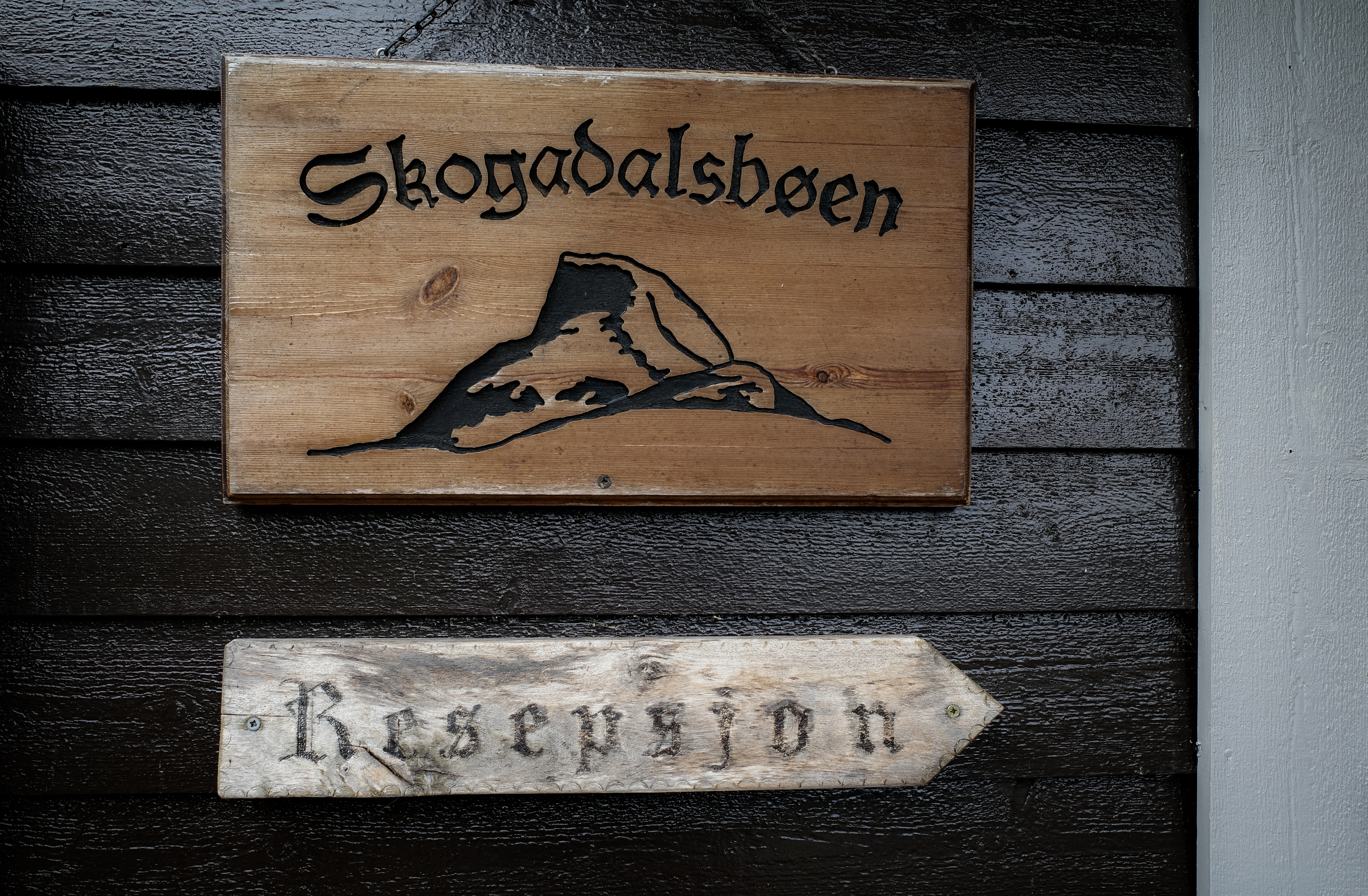
Day 2 – Bygdin – Eisbugarden – Skogadalbøen
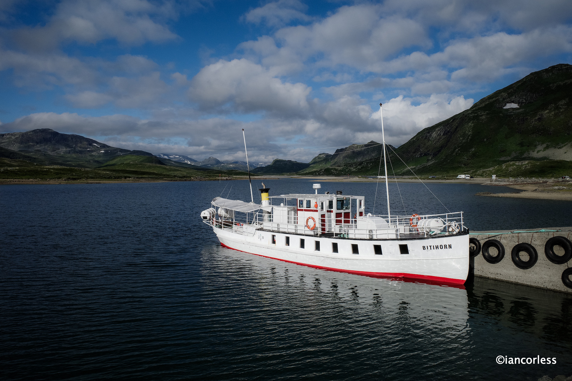
M/B Bitihorn
It was a casual start to the day with a hearty breakfast and then meeting the M/B Bitihorn boat at 0900 for a transfer the length of Bygdin lake (stopping at Torfinnsbu) and then continuing to Eidsbugarden.
Lake GjendeTorfinsbu self-service DNT
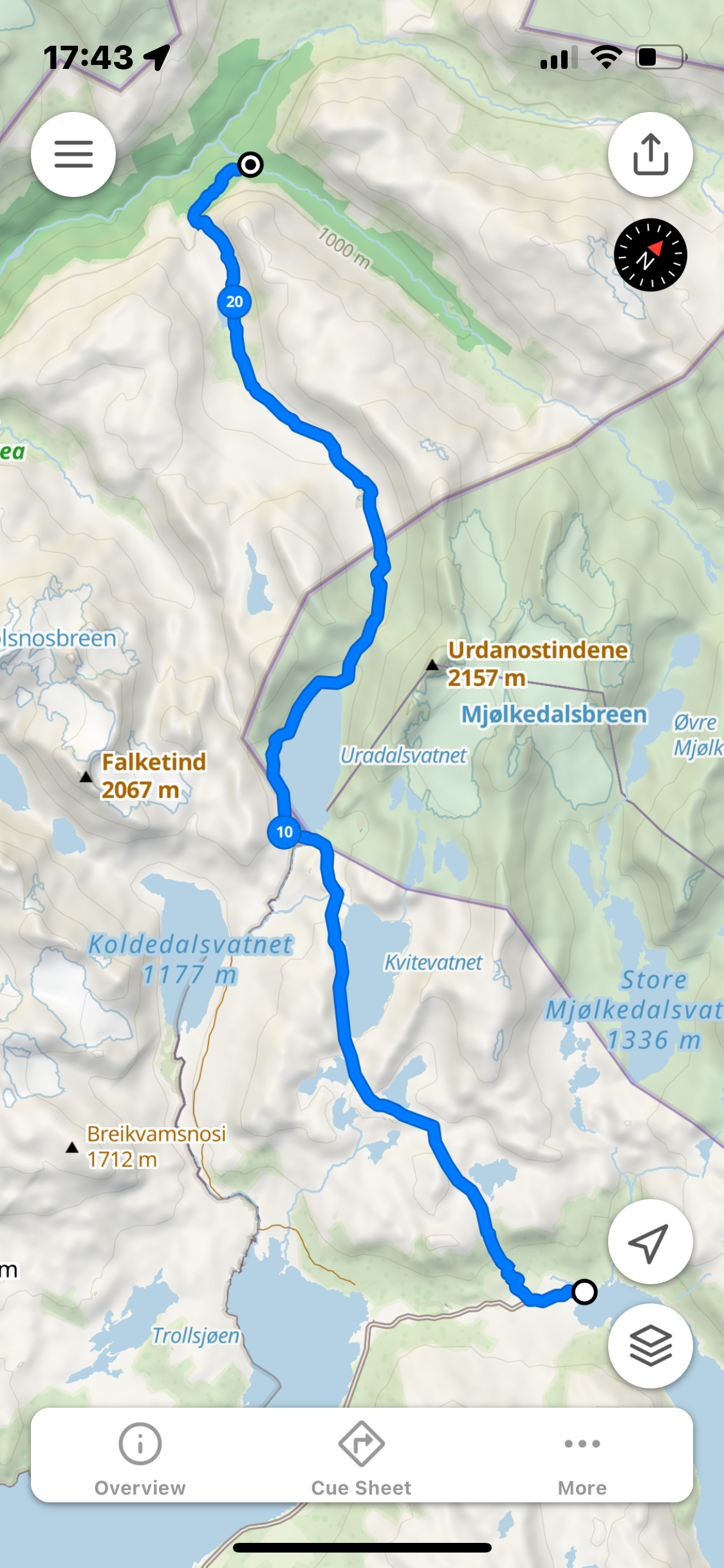
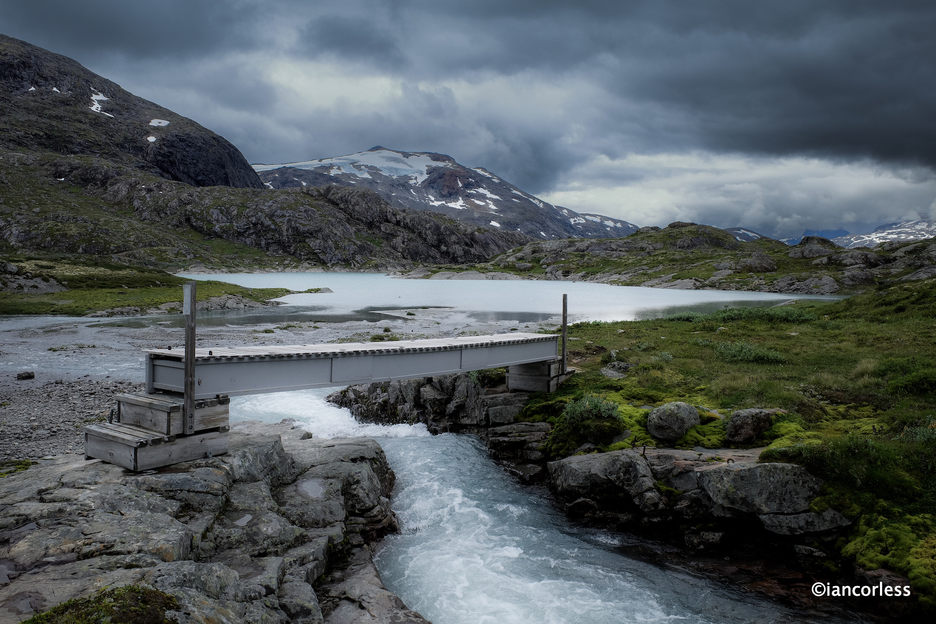
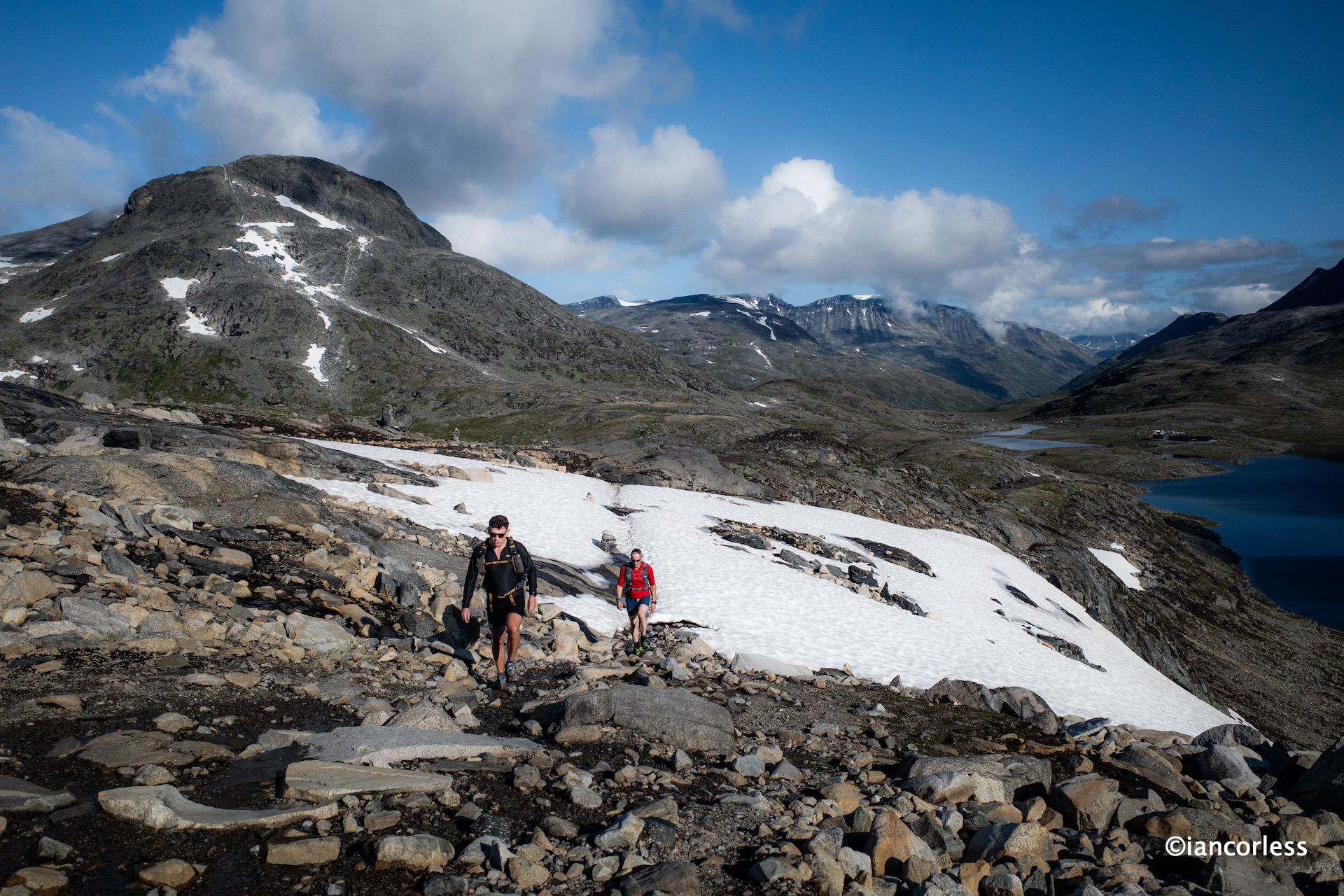
By 1100 we were ready for our first full day, Eidsbugarden to the remote Skogadalbøen DNT cabin. The route is considered very demanding due to the nature of the terrain. It’s very important when looking at routes in Norway that you never focus too much on the distance but more the time it will take to cover the distance. Depending on the time of year, this route can have a great deal of snow, so, be careful and do research in advance. For us, we had several snow fields to cross and all were in good condition.
Eisbugarden to Skogadalbøen
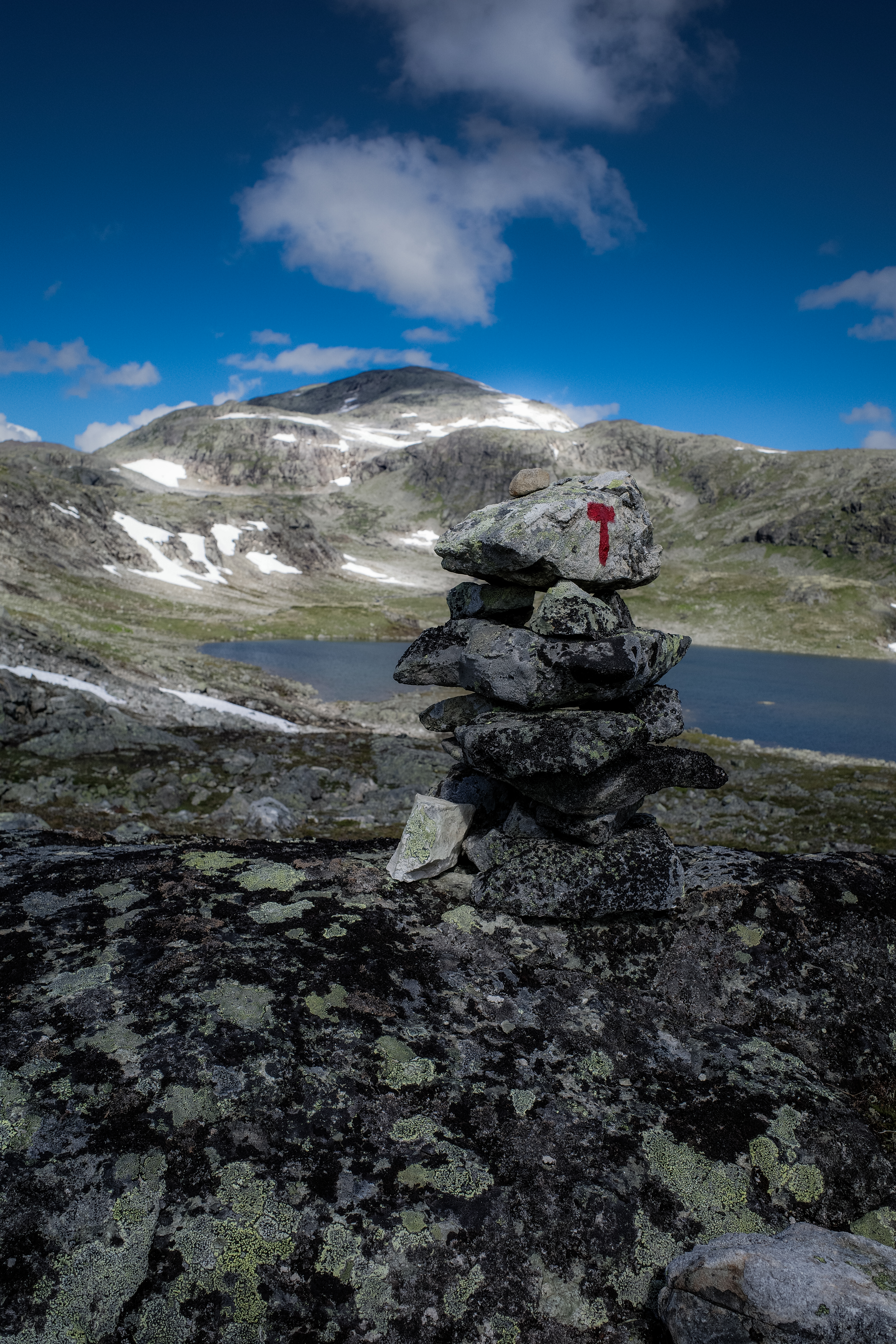
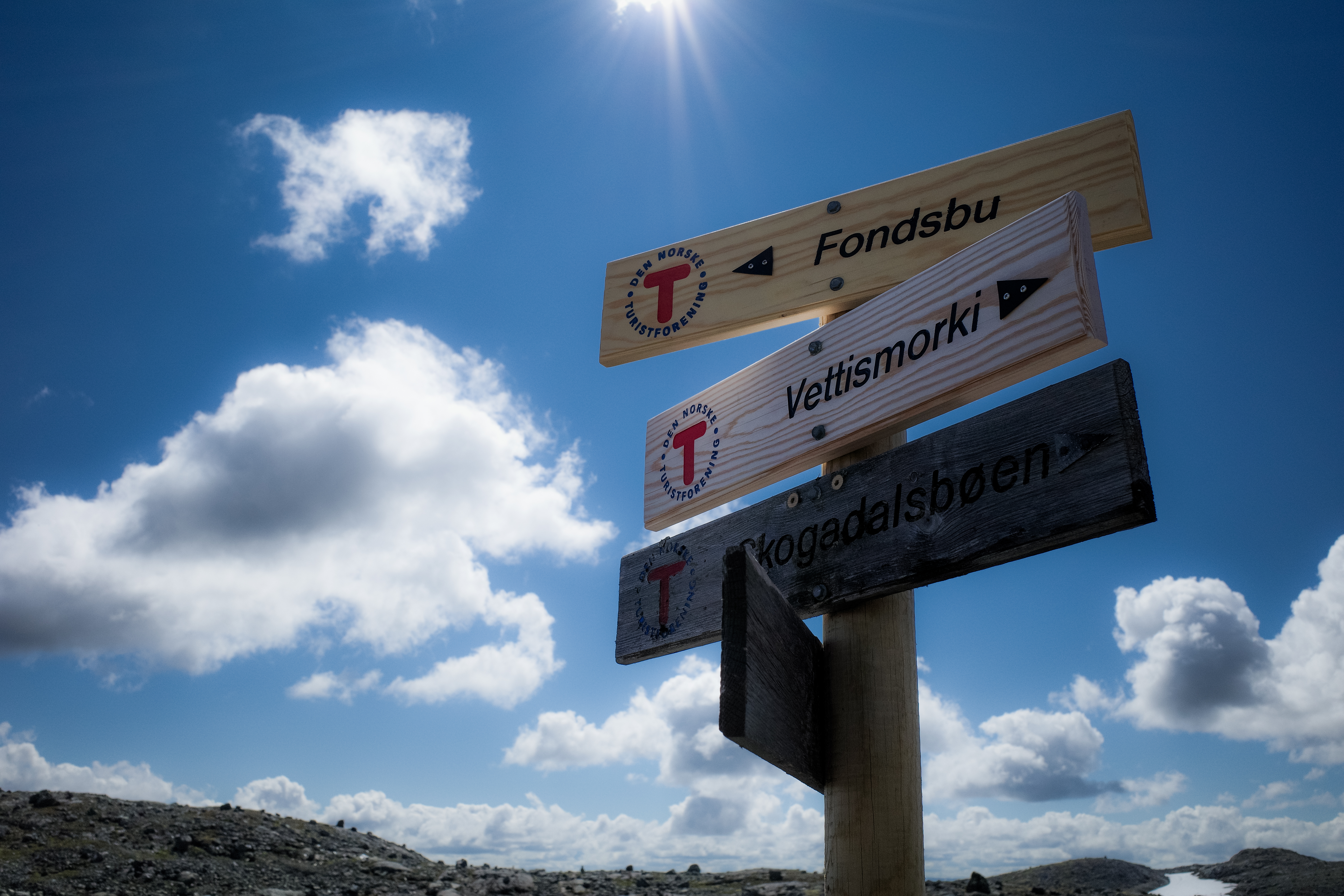
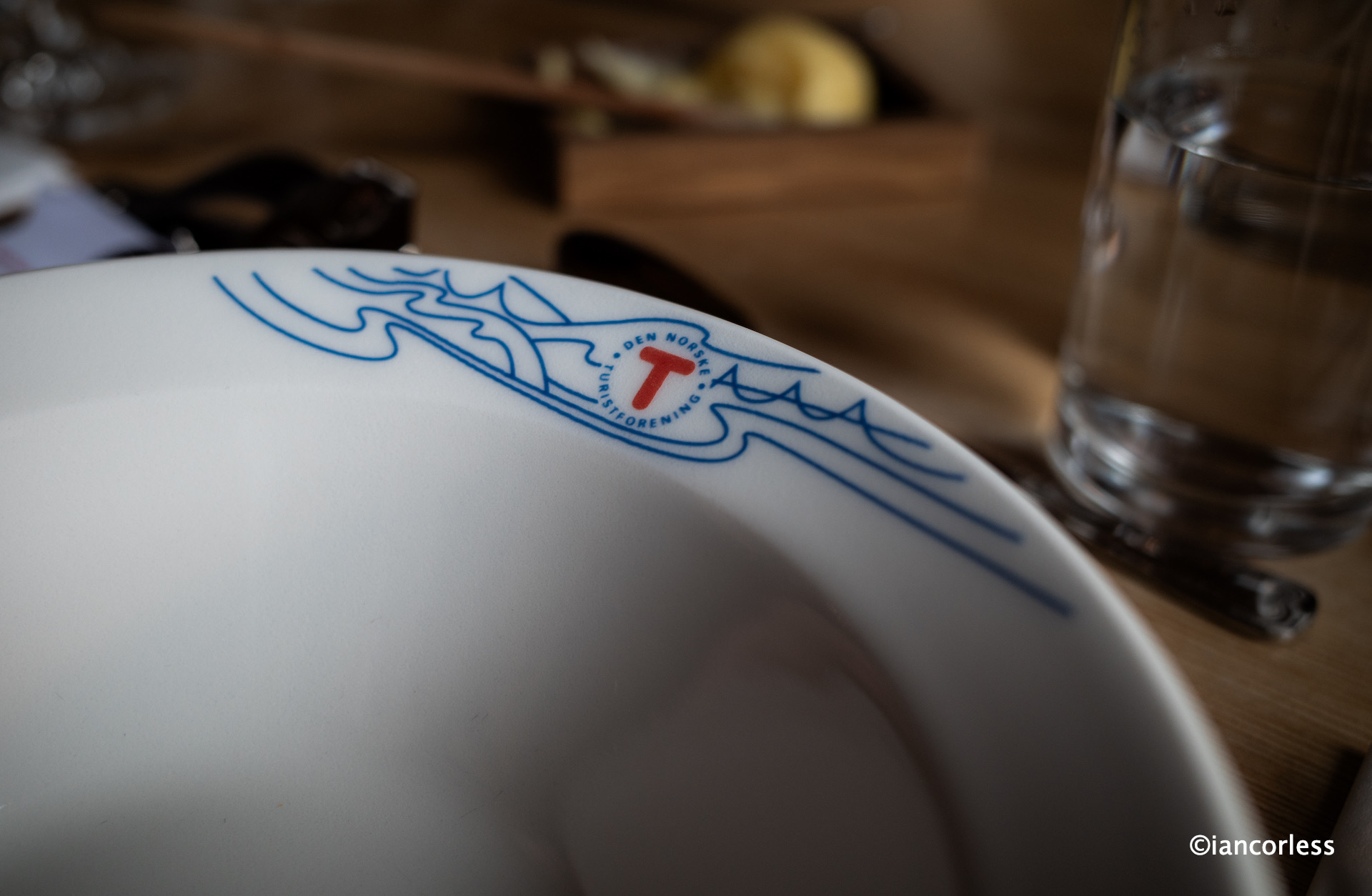
DNT mark the routes with red Ts
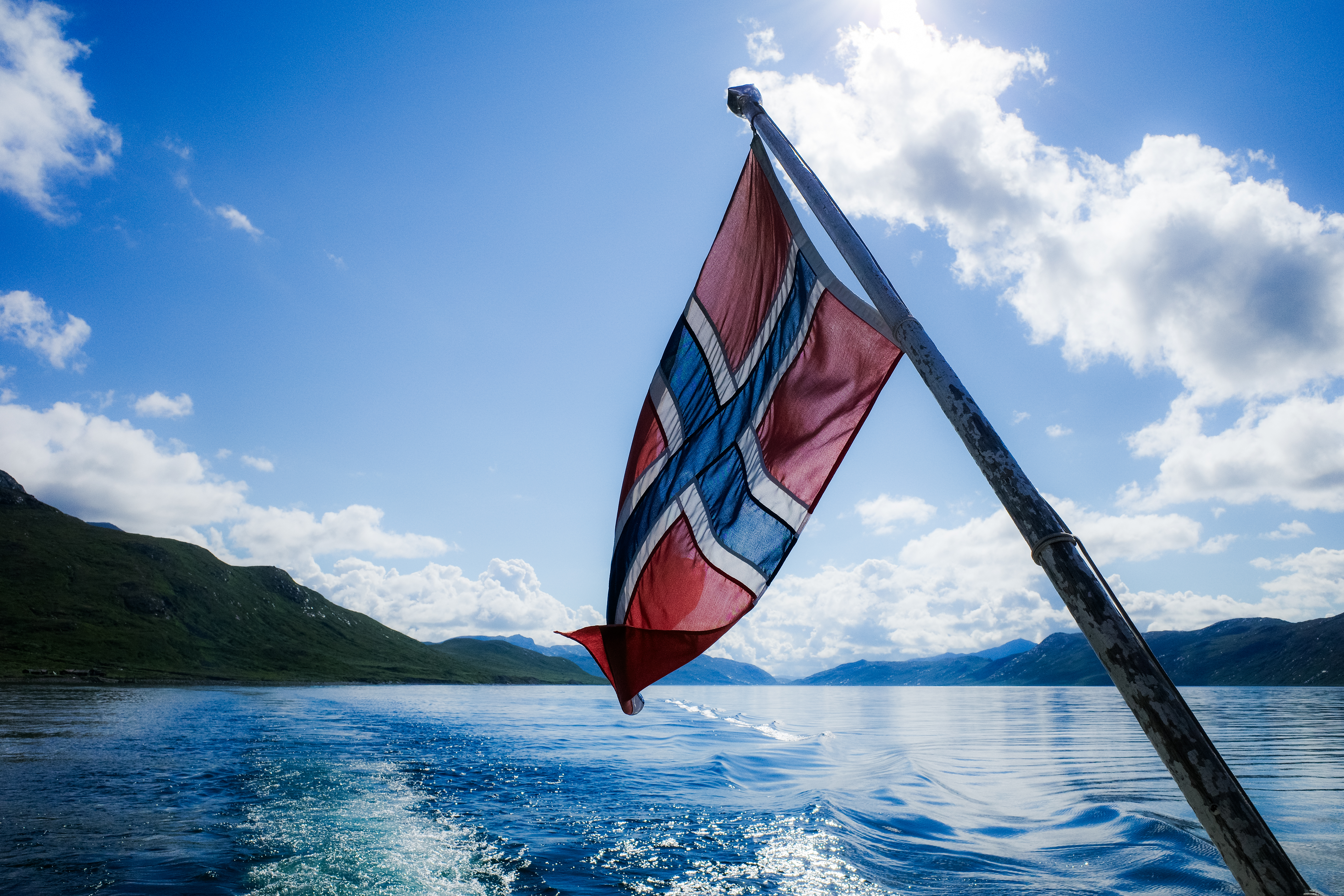
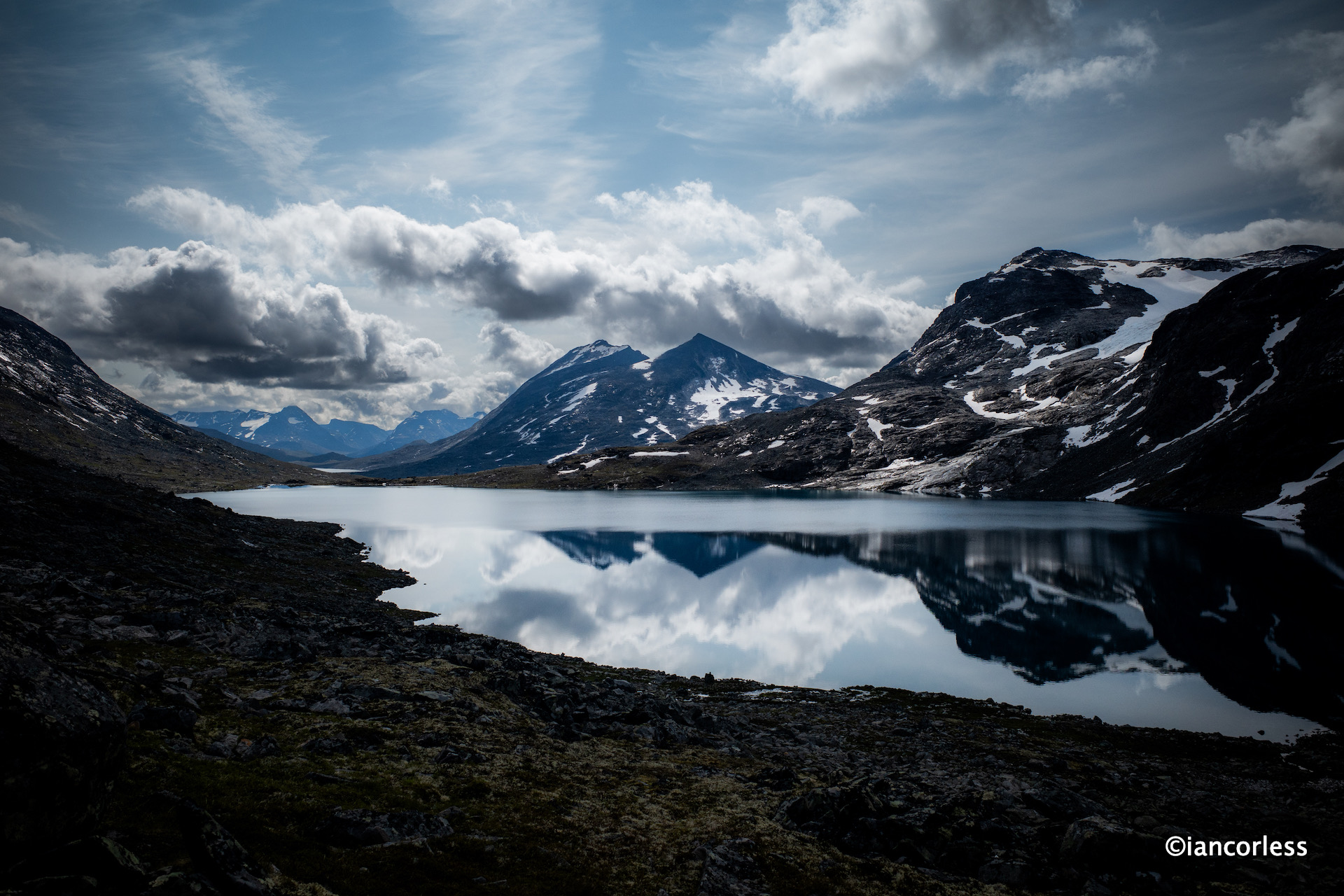
Our weather was glorious, blue skies, white fluffy clouds and amazing views.
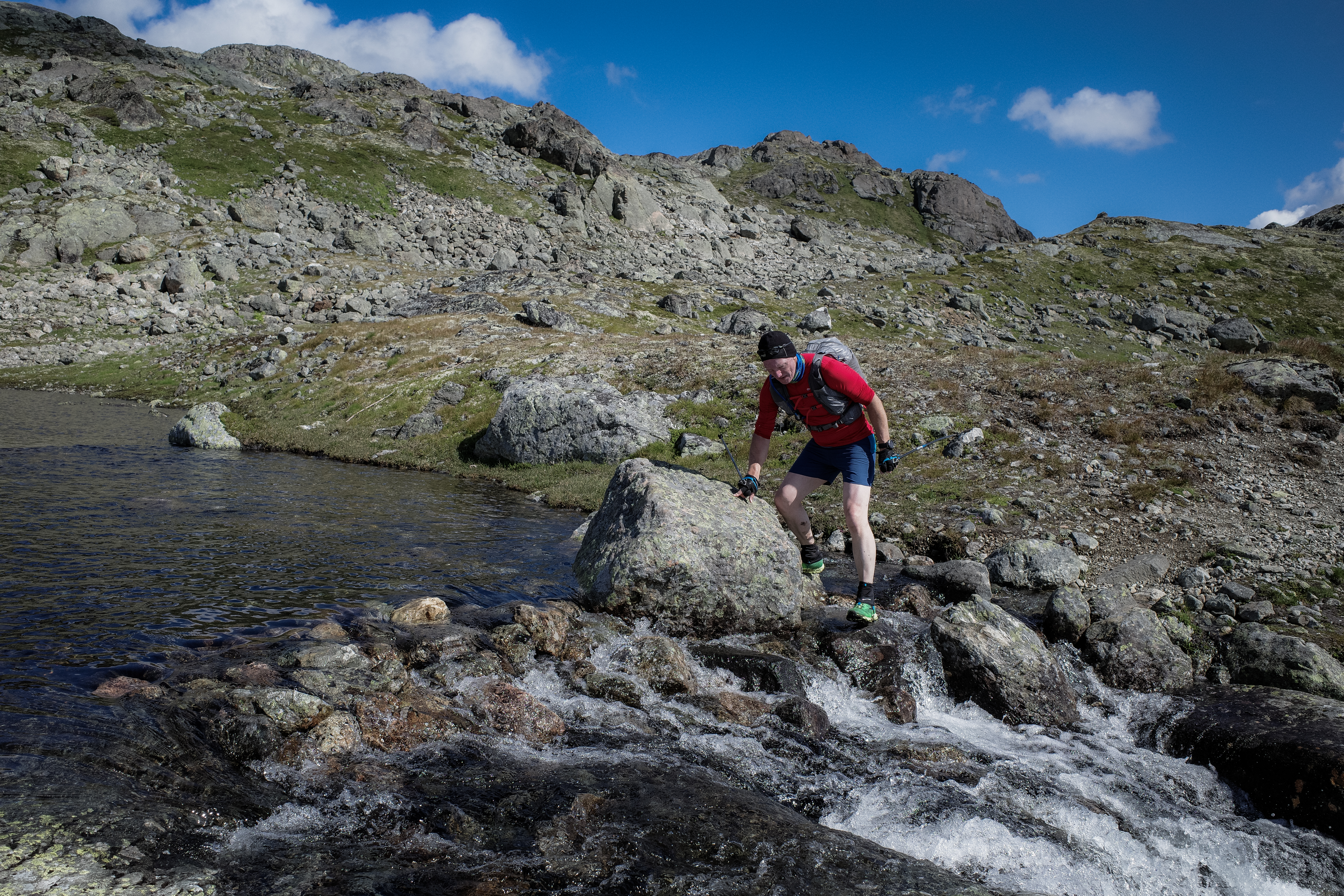
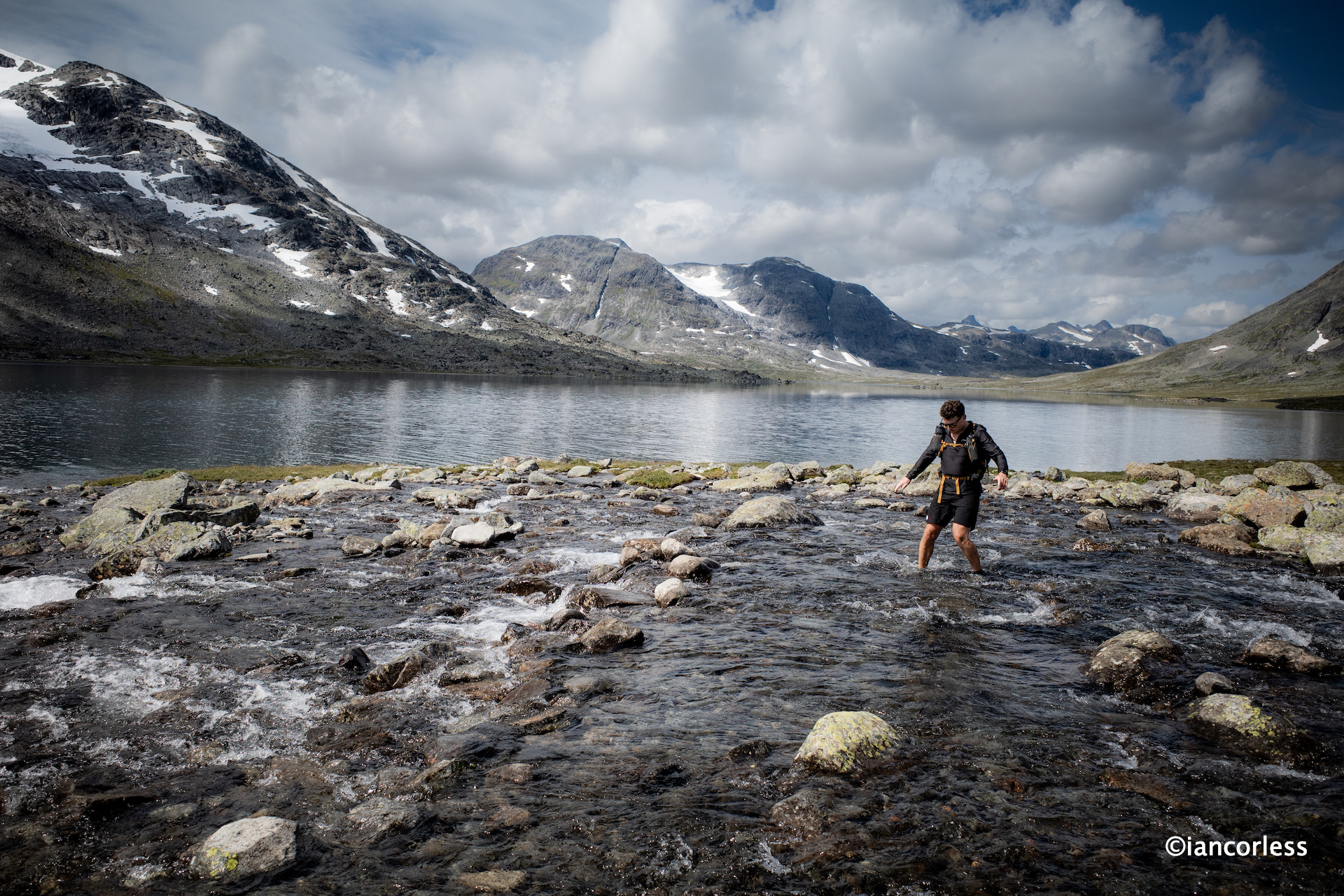
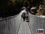
Plenty of water crossings
A short road section and a right turn and we were already climbing through saturated and boggy ground to Sløtafjellet. Then the rocks and boulders started.
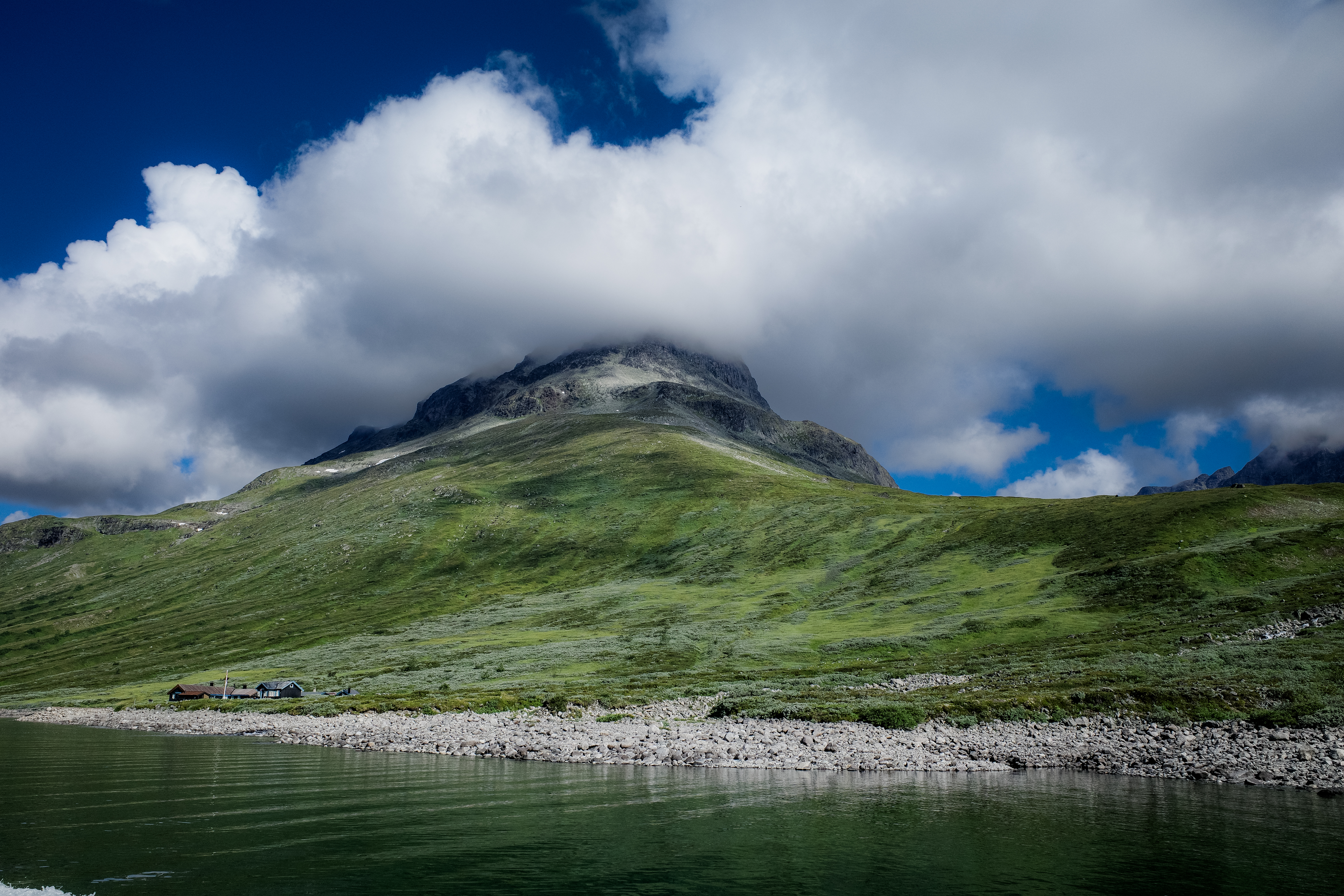
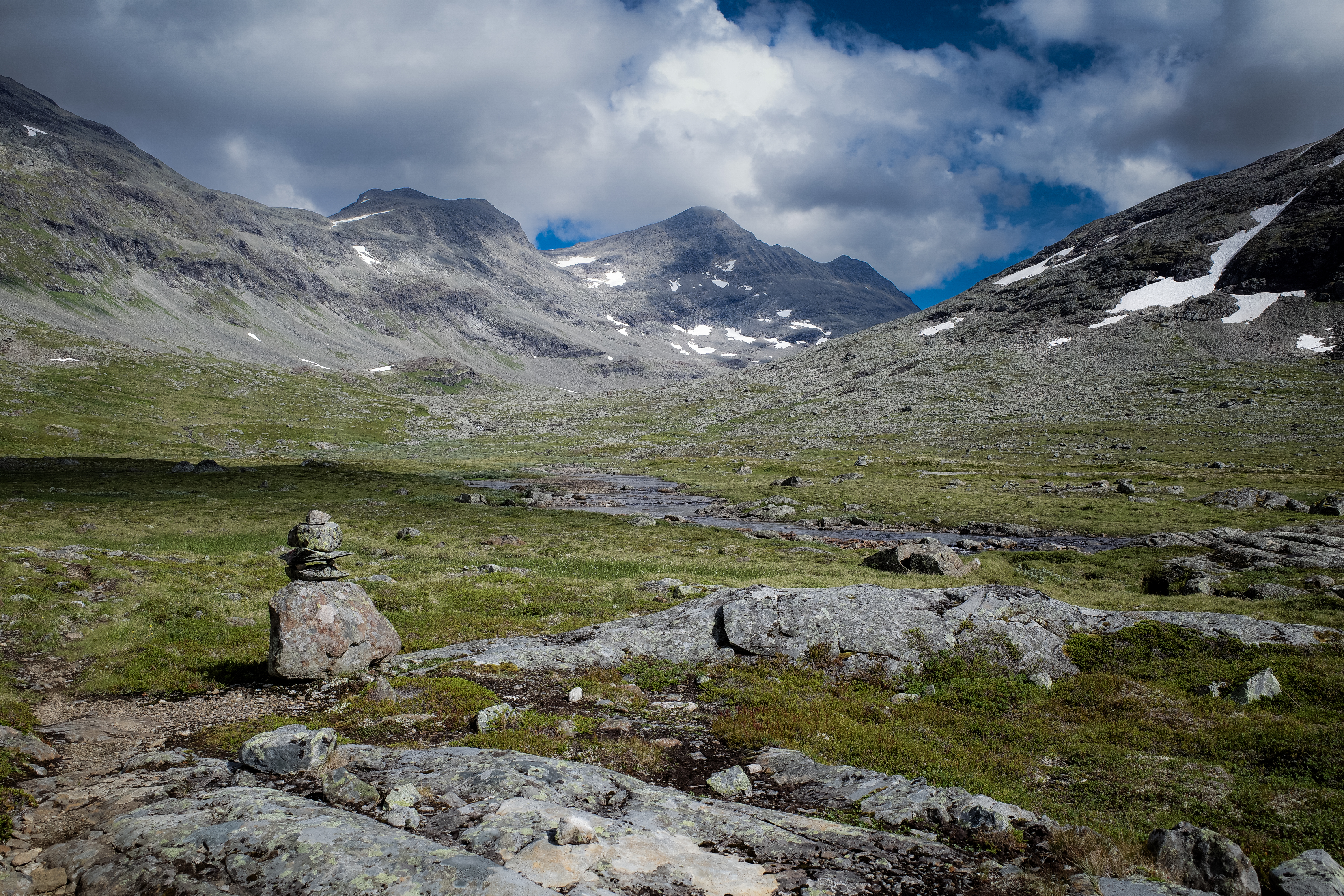
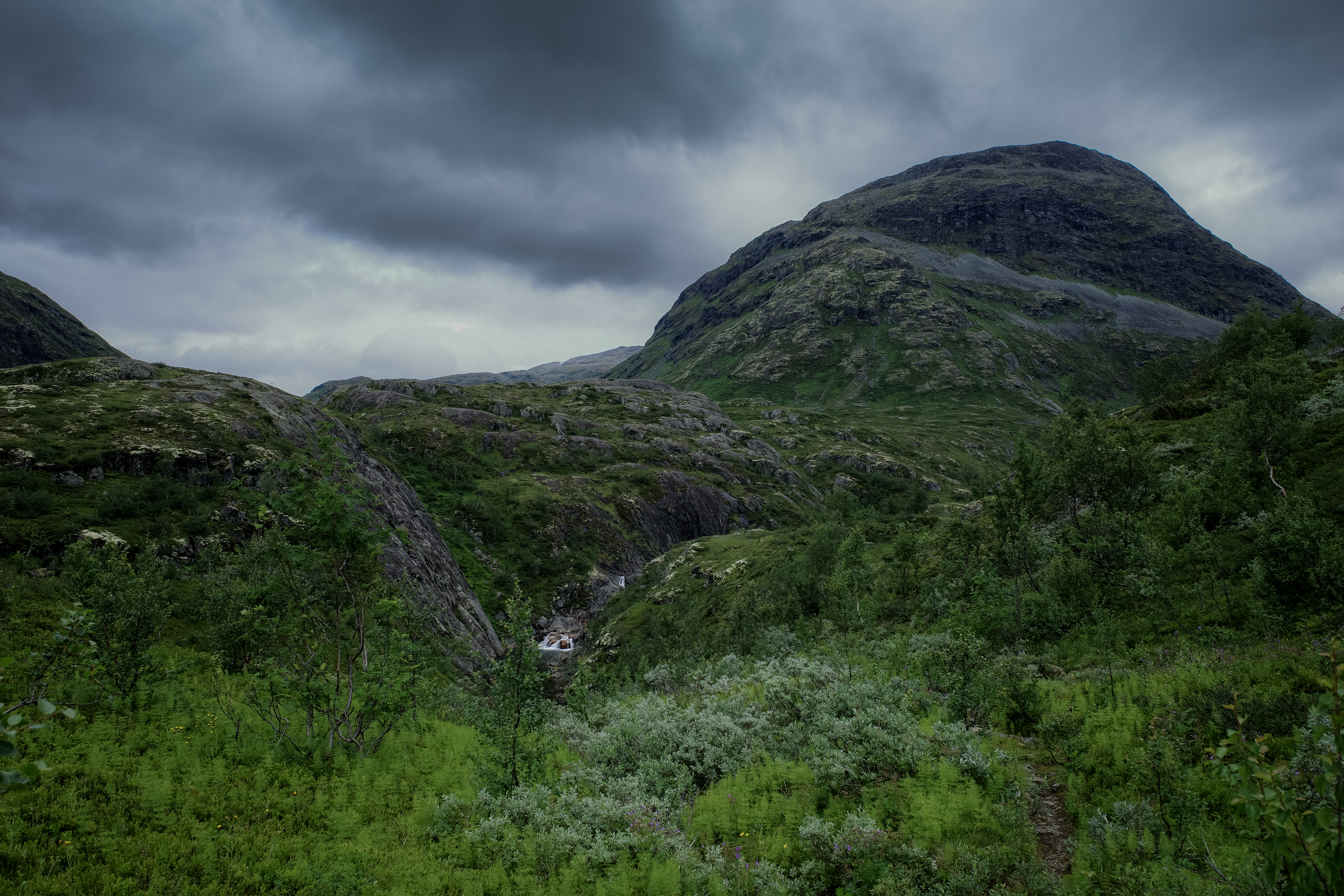
Beautiful but hard terrain
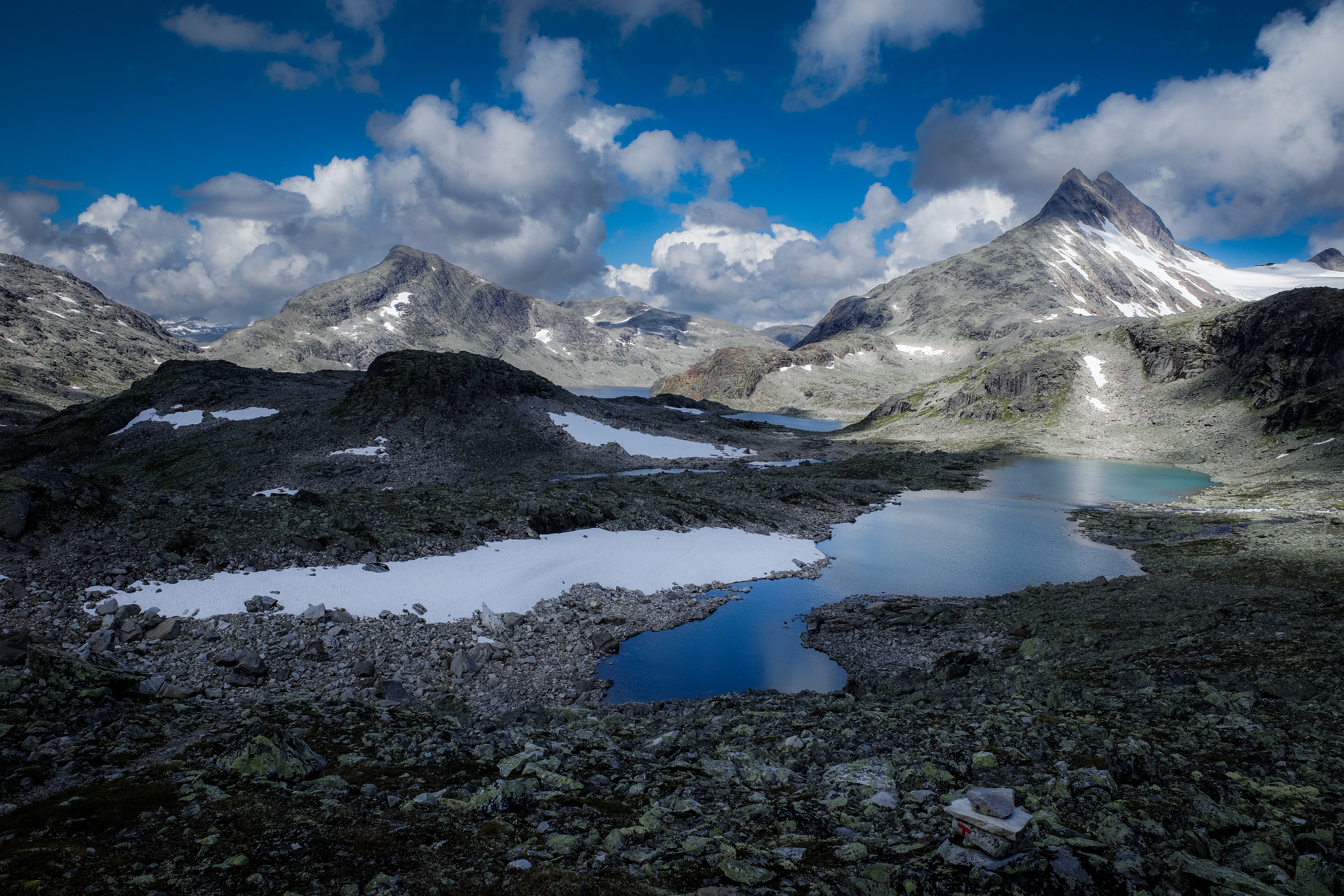
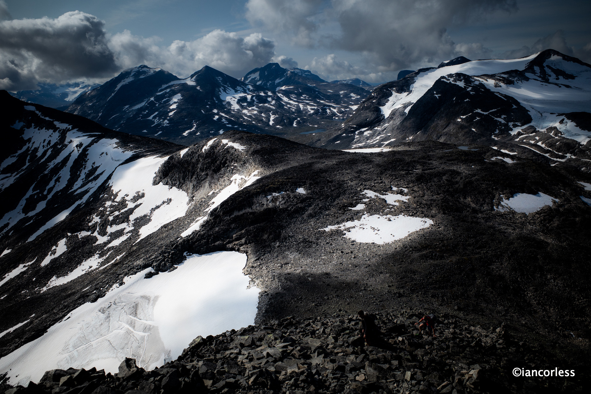
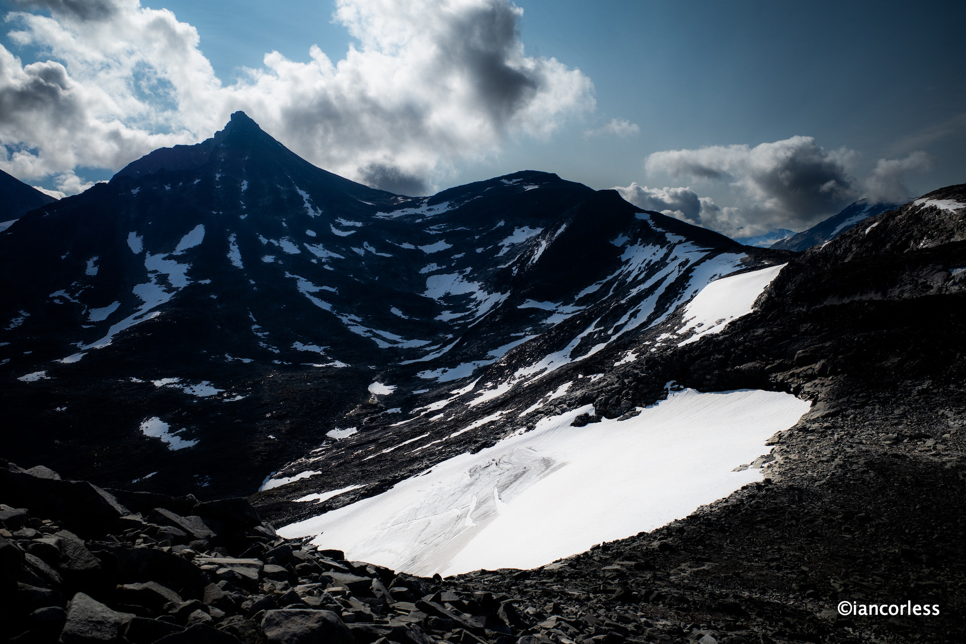
This route has a ‘reputation’ for the rocky terrain and hence the difficulty rating. It’s hard to move fast! The route climbs up passing lakes and at all times you are surrounded by stunning snow-covered peaks – magical.
sign posts help keep you on track
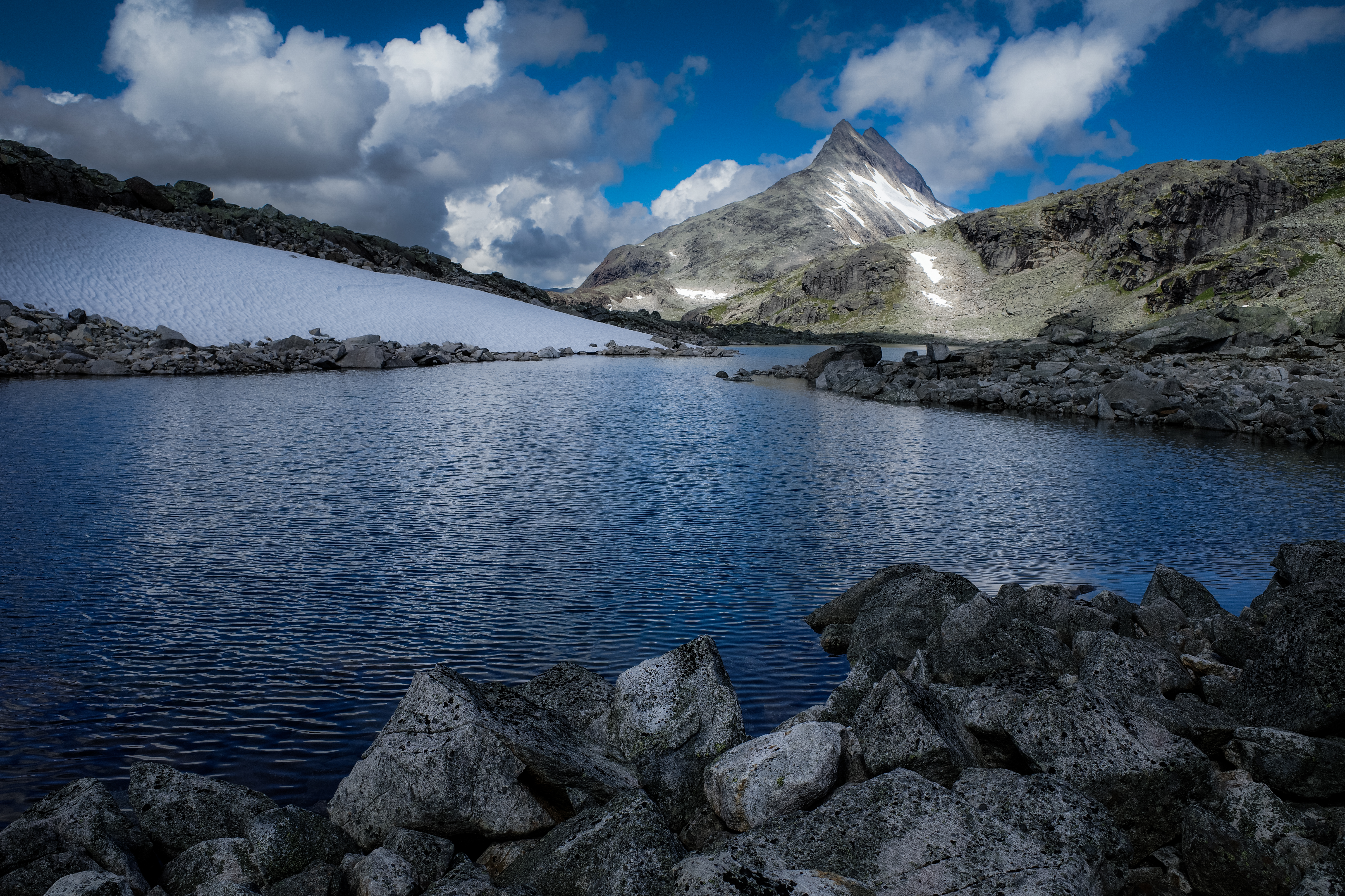
Arriving at Kvitevatnet lake you keep to the left and at the end climb up towards Uradalsvatnet lake, againkeepin to the left.
Lakes, rocks, snow and mountains. Perfect!
Passing through Uradalen the route eventually reaches its high point and then the descent starts through more ‘runnable’ terrain towards Skogadalsbøen.
The terrain became ‘easier’ towards the end of the day.And more vegetation.
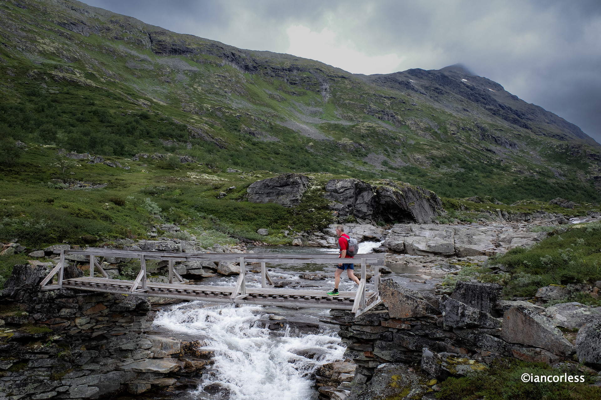
Of course, there is a kick in the tail with more rocks and very closed in and dense single-track with lots of mud. We covered 24.5km, 670m+ in 4h 55m. Geoff and Baz were pretty tired at the end, and I think it’s fair to say that Baz had seen and experienced enough rocks and boulders to last a lifetime. My reply was always, 1this is Norway, this is Jotunheimen!’
A nice sight after a long day
My girlfriend, Abelone, had initially planned to join Home of the Giants. Our intention, two groups of 4/5-people. However, in the buildup to the event we had 6-people cancel – not ideal. These cancellations caused many logistical problems and of course, there was never any risk of cancelling, but it did mean that Abelone was not needed to guide a group. However, she was on holiday with her son Håkon (10) and after summiting Fannaråki they joined us at Skogadalbøen DNT.
As usual, we had an amazing three course dinner, a lovely evening of banter and then a good night’s sleep.
Day 3 – Skogadalbøen to Leirvassbu
Day 3 with a moody start.
Skogadalbøen to Leirvassbu
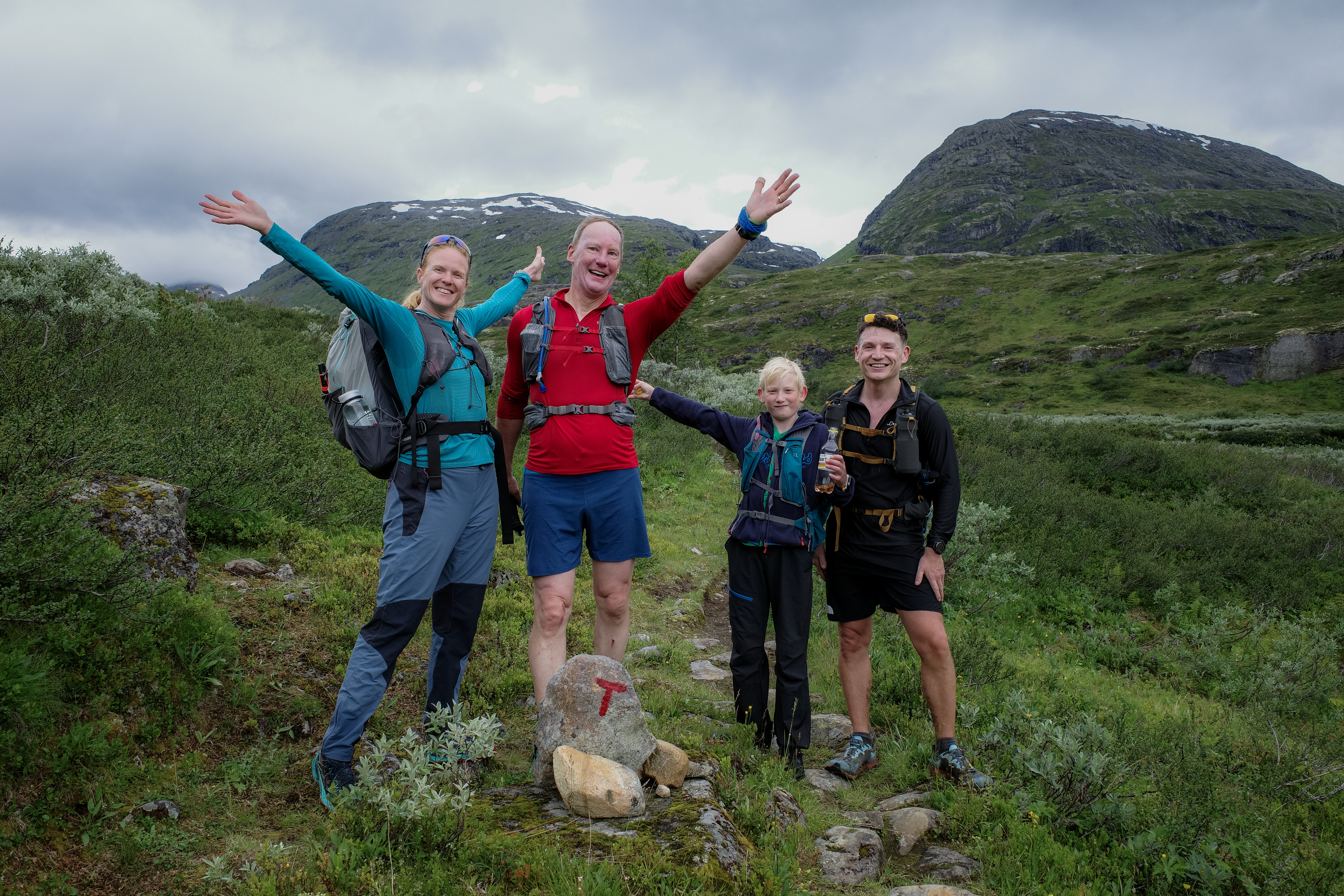
Skogadalbøen to Leirvassbu is in comparison to the previous day, an easy route. Even though UT.NO describe it as a ‘very demanding summer route.’ Håkon had decided he enjoyed the group dynamic so much he wanted to also do the 19km route. He and Abelone got underway and some 30-minutes later we started.
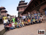
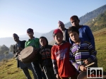
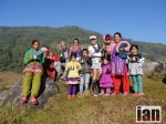
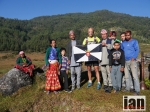
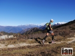
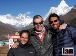
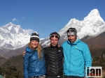
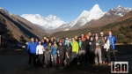
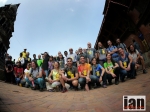
Passing them early in the trail we had a group photo and pushed on. Today was a running day, albeit steady and relaxed. Geoff and Baz had big smiles; I think they almost considered it a rest day after what had been experienced the day before.
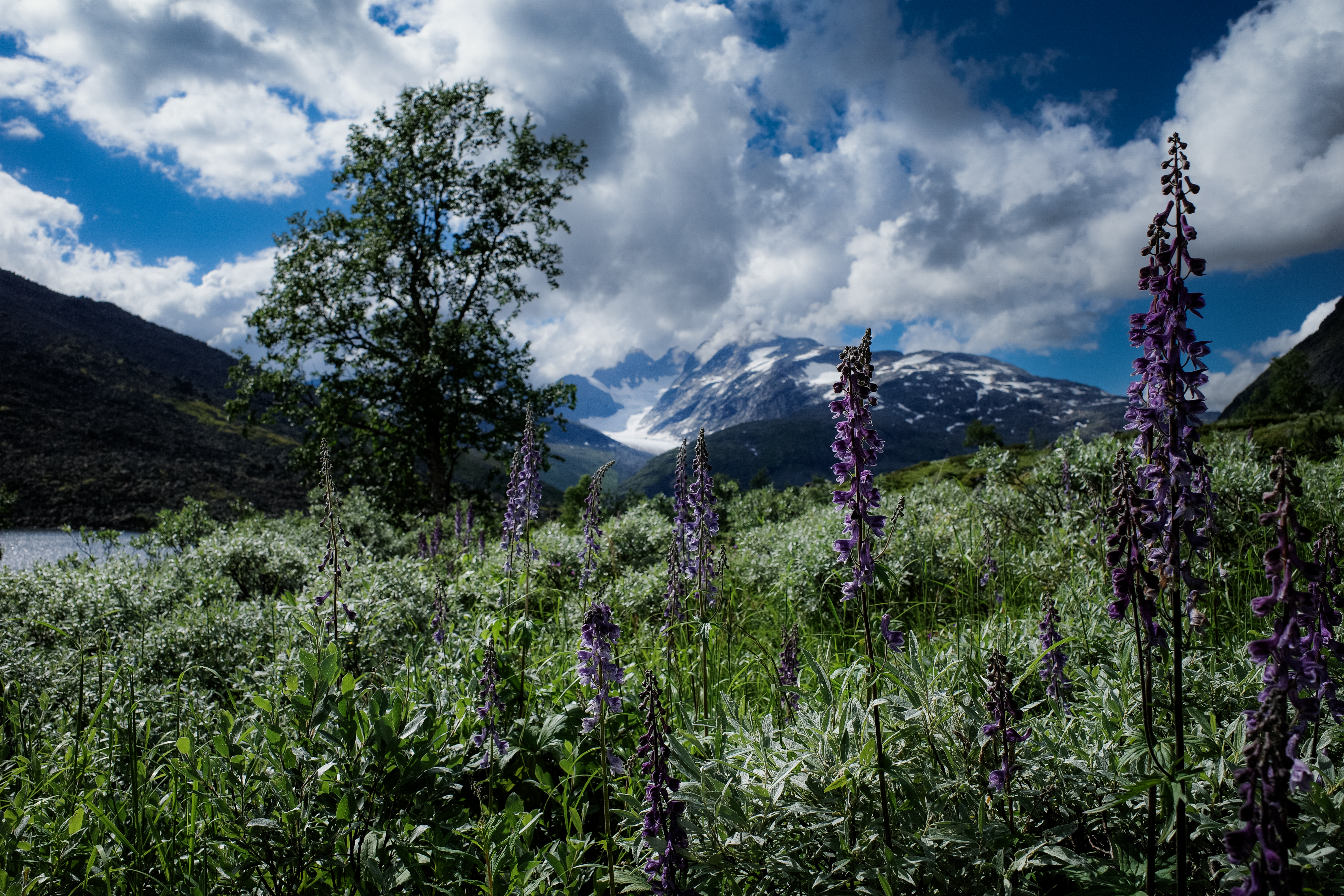
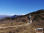
Green valleys surrounded by mountains
The ground constantly wet and boggy, the weather was overcast and cloudy with occasional light drizzle.
Many water crossings
Passing through Storutladlen and onwards to Gravdalen it was a great feeling day. The views and landscape ever changing. After passing Gravdalsdammen, we soon joined an undulating gravel road that took us to Leirvassbu DNT.
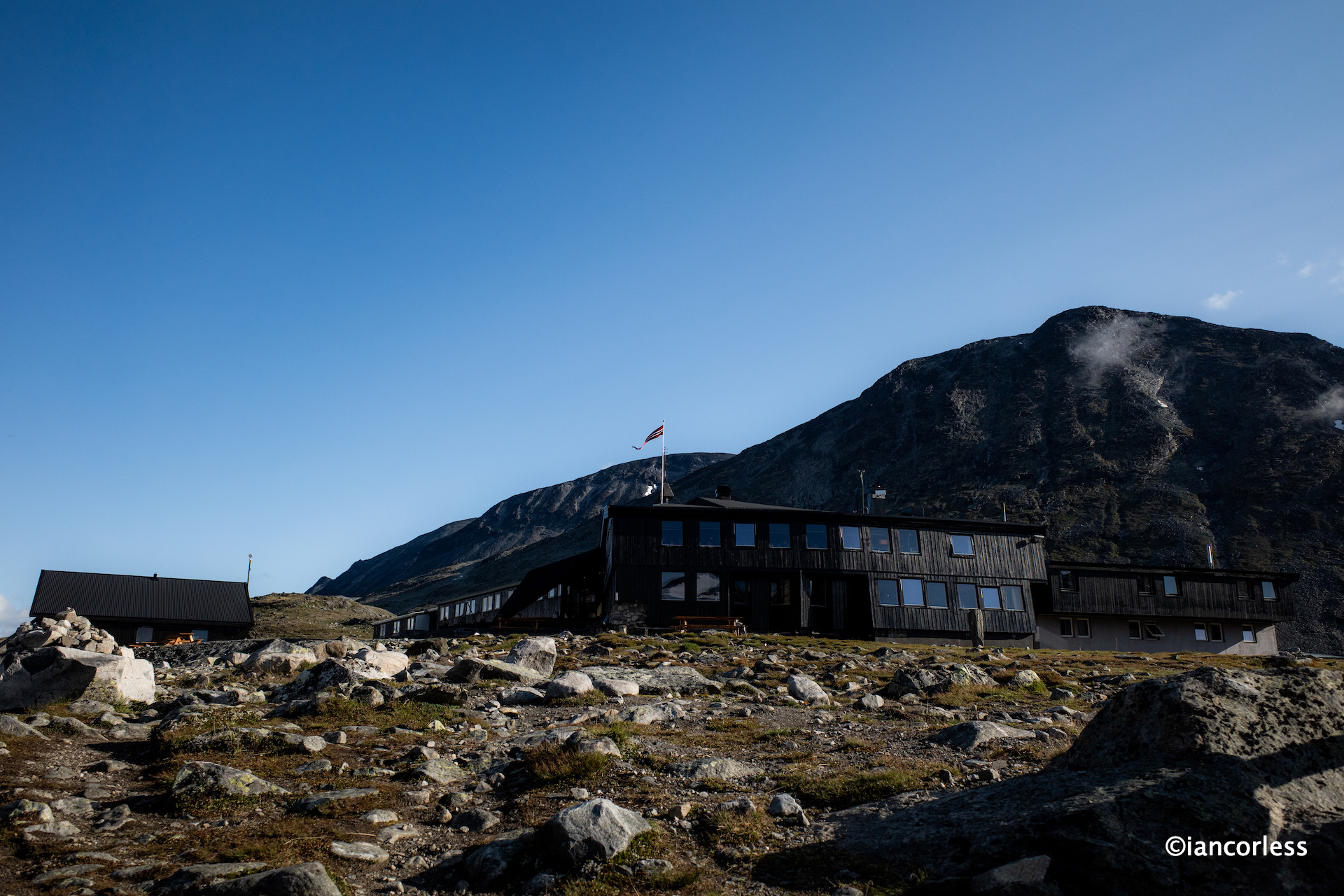
Leirvassbu DNT
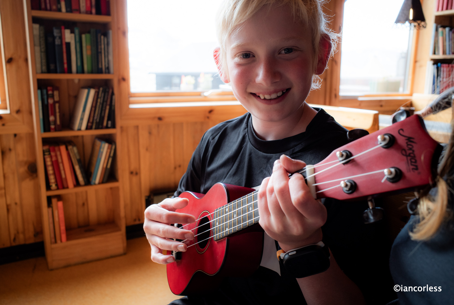
On the approach, Kyrkja (2032m) was to our right, shrouded in mist and clag. Today was not the day to attempt the summit. After 19.68km, 811m of vert we finished in 3h 34m. Abelone and Håkon arrived a couple of hours later, Håkon sprinting ahead with a smile. What a joy to see. Geoff and Baz were blown away by Håkon’s speed, enthusiasm and commitment.
Entertainment by Håkon
Early finish and we could then rest, relax, enjoy the Leirvassbu DNT and prepare for the following day. Leirvassbu DNT is a large and modern cabin with no dorms, a large bar area and an excellent restaurant. A stunning location surrounded by mountains, a great place for staying more than one night as there is lots to explore. It has road access, so, it can be accessed by private car or bus, worth knowing just in case you need a contingency escape option.
DNT dinner always a highlight
The weather forecast for the following was good and it was therefore decided we would summit Kyrkja first and then continue to Gjendebu. Abelone and Håkon would miss the summit go straight to Gjendebu and therefore miss out on the 2 to 3h detour.
Day 4 – Leirvassbu to Gjendebu via Kyrkja
Kyrkja
The weather gods did not disappoint. It was a stunning day and a perfect morning to climb Kyrkja.
Leirvassbu to Gjendebu via Kyrkja
The early slopes to Kyrkja, Leirvassbu on the right
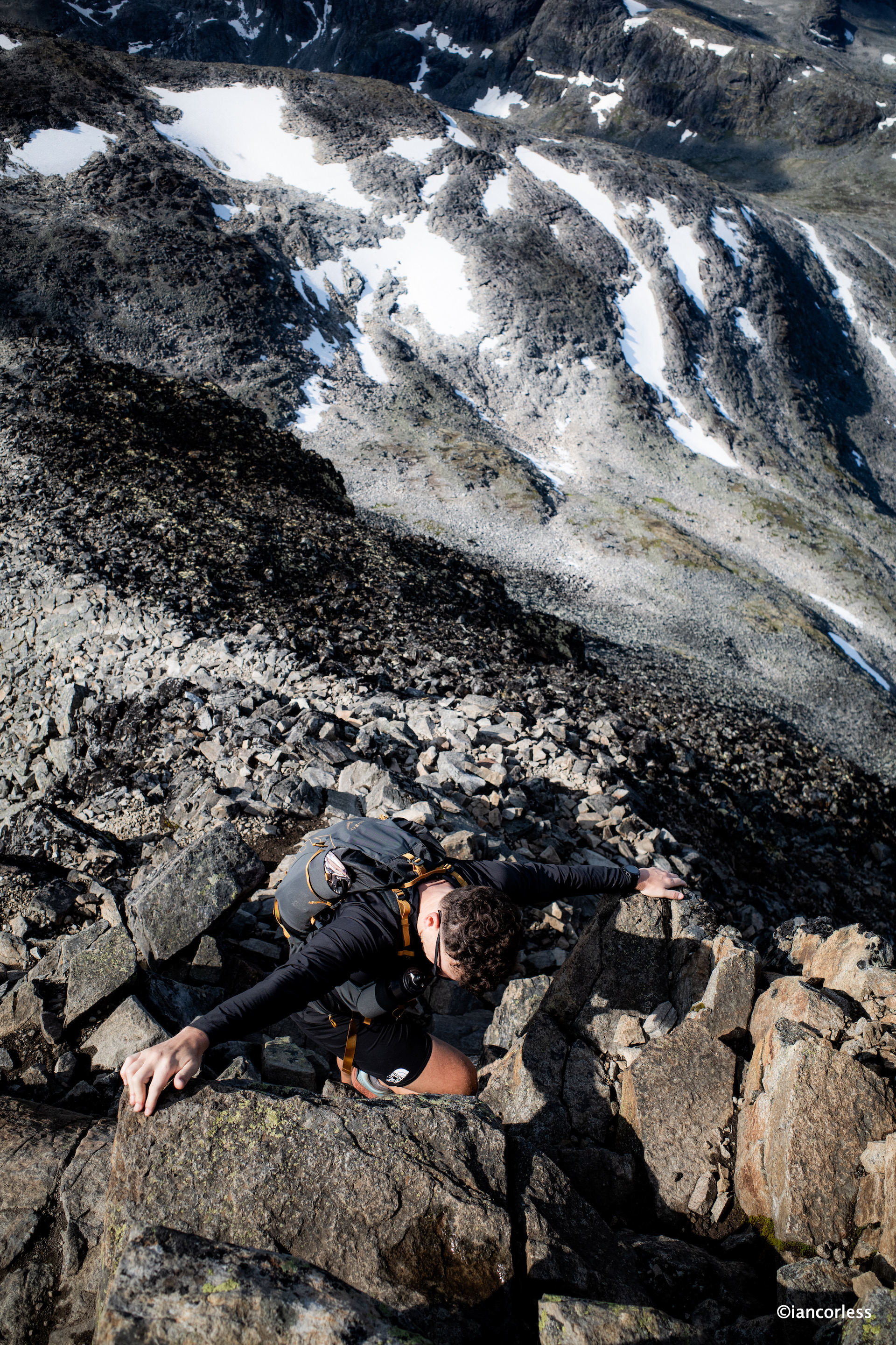
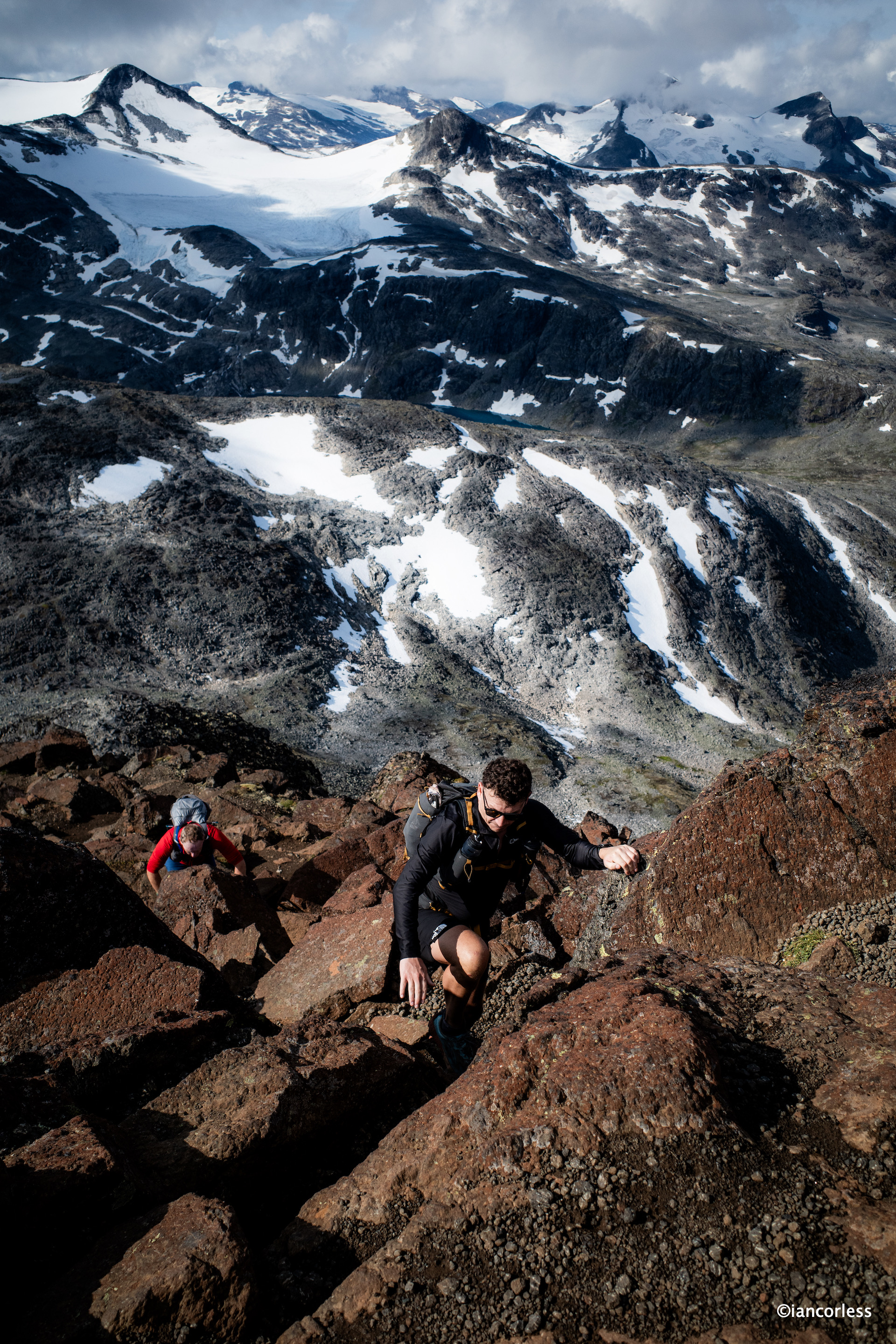
Abelone and Håkon left just before us they made their way to Gjendebu, we soon caught them, passed and then we started the climb to the summit. The early slopes mix trail, rock and snow crossing with boulders everywhere.
And up we go
Once at the base of Kyrkja, the climb really starts and it’s a hands-on scramble to the summit. Cairns are placed regularly and at times the route is obvious. Other times, the route is vaguer.
Good hand and feet placement important.
There are several sections with more exposure when sound had-holds, and secure foot-placing is essential. It’s not a difficult scramble but as with all these things, going at a calm and steady pace reaps rewards.
Slow and steady
Geoff certainly felt pushed here. He is not too happy at heights, but he pushed on, listened to to best route options and before he knew it, he was with Baz at the summit.
Job done!
The 360 views here are quite magnificent. What goes up must come down and depending on your ability, head for heights and skill level, the downward route can be harder than the climb.
Coming down easier than going up?
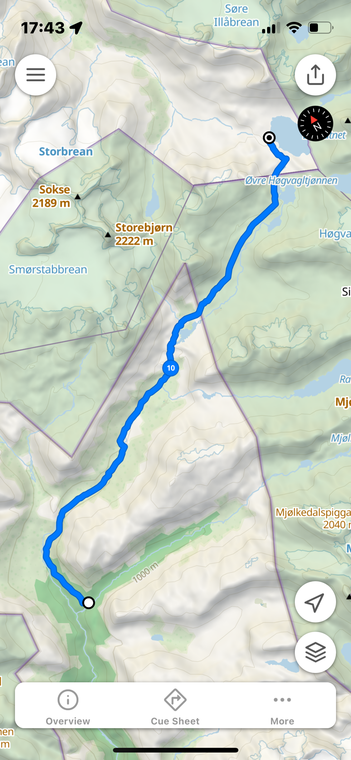
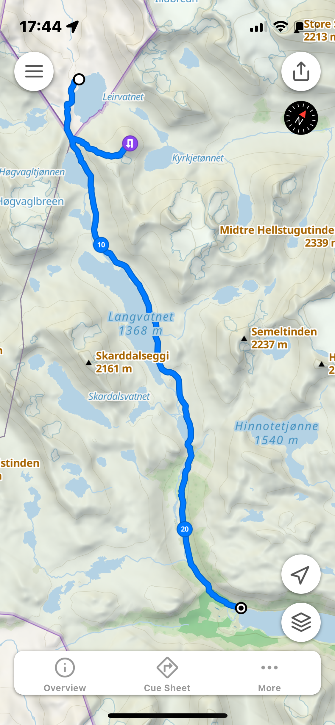
All three of us were soon at the bottom and re-tracing back on the trail to Leirvassbu and then at Høgvaglen we turned left and started to follow the red Ts on the route to Gjendebu.
Øvre Høgvagltjønnen
The route now is more runnable mixing rocky terrain, water crossing, fjell, single-track and of course mud.
Passing three key lakes, Øvre Høgvagltjønnen, Nedre Høgvagltjønnen and Langvatnet we were soon descending next to Hellerfossen waterfall and then passing through Storåddalen.
Make sure you follow the correct Ts
The trails now were saturated and muddy and considerably greener than what we had experienced earlier in the day. There was also plenty of cows.
You never have dry feet!
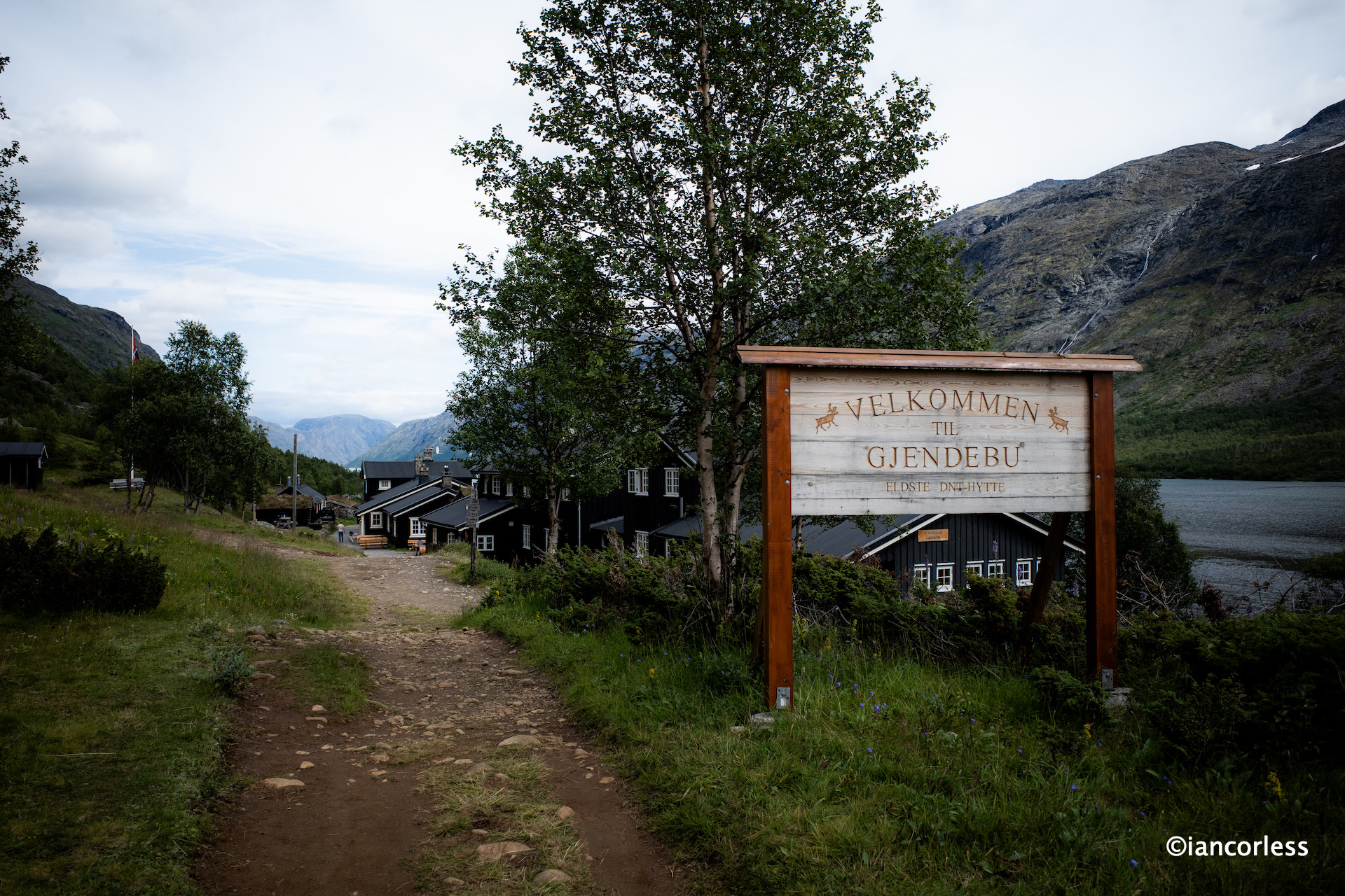
Before we knew it, we were running into Gjendebu after a stunning day of 25.69km, 741m of vert and 4h 42m on the clock. Baz and Geoff jumped in the lake, I got the beer in.
Day done.
Sitting in the sun, I wondered where Abelone and Håkon where? I had absolutely expected them to be here before us BUT there had been a chance that we may, have caught them in the last km or so… Apparently, Håkon was on a mission to beat us, and he ran the final 3km! What an effort by him, incredible. We had expected them to take 6-hours, and they had taken 5, bravo!
Gjendebu is a wonderful DNT and the oldest. It’s wonderfully traditional and recently refurbished. Comfort level is high, service superb and food excellent.
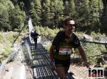
Day 5 – Gjendebu to Gjendesheim via Bukkelægret, Memurubu and Besseggen
The view from the iconic Besseggen Ridge
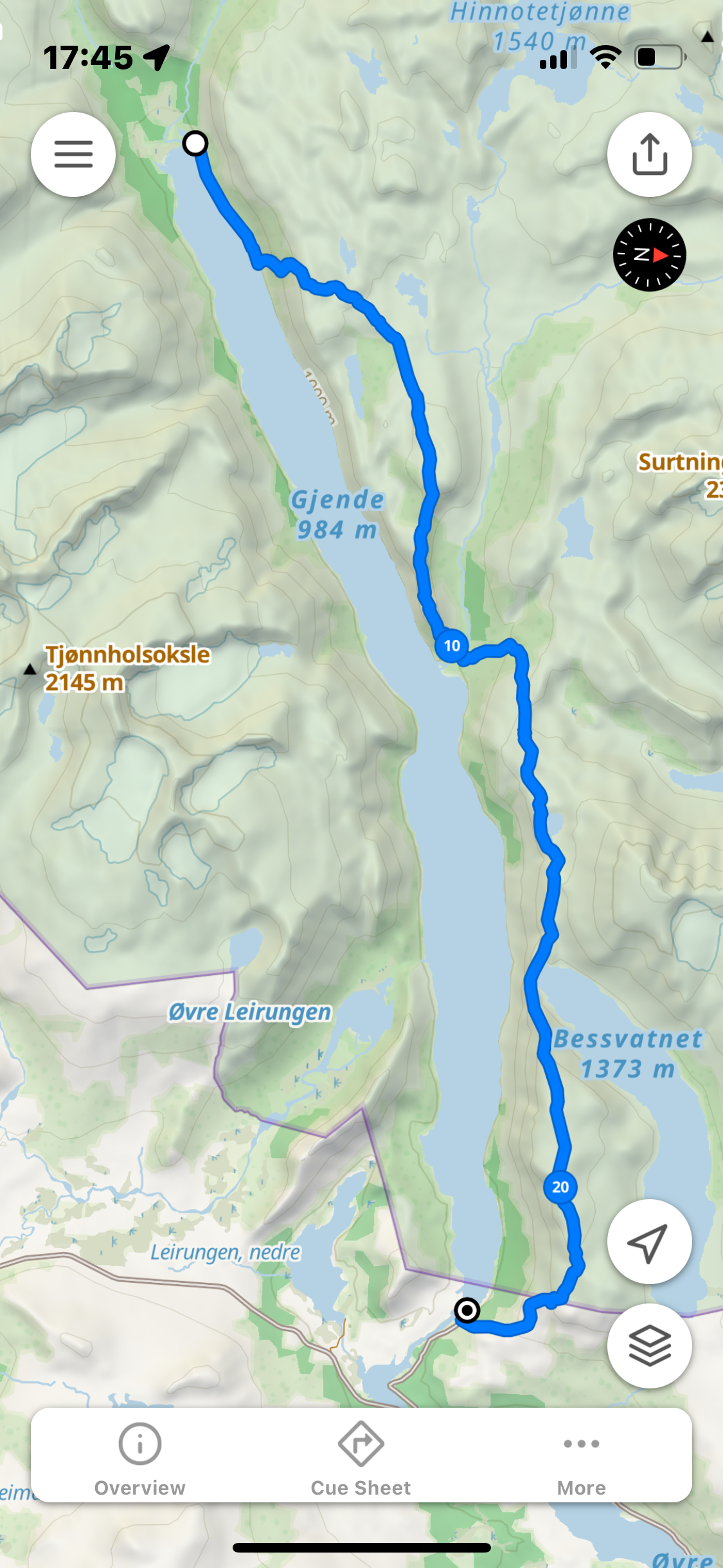
Leg 1 Gjendebu to Memurubu
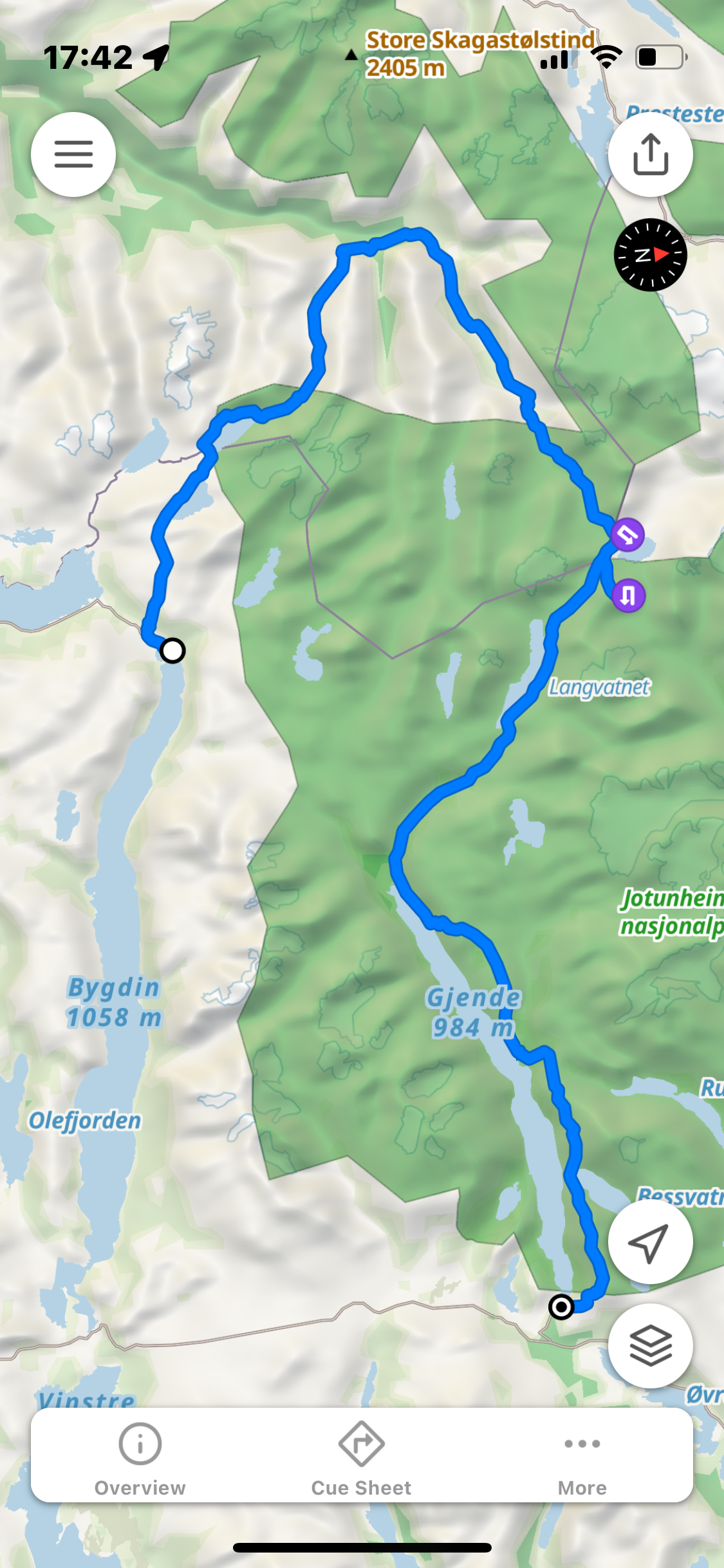
Gjendebu to Gjendesheim
I took no photos for this day, the weather was too bad, so, enjoy the image above of a considerably better day with Abelone.
Our longest day ahead and the weather forecast was rain all day. We were committed with our route BUT as always, sense and forward thinking was key. Our route was a two-day route, Gjendebu to Memurubu one day and then Memurubu to Gjendesheim day two. To do the whole lot in one day does require a fast and light approach.
The first leg is 11km and at Memurubu we had the option to pick up the boat to our finish, should conditions deteriorate.
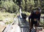
The early km’s follow a single-track rocky and muddy trail next to Gjende lake. After 4km you turn left and then steeply climb. This section, Bukkelægret, is renowned as being difficult, especially in bad weather due to the gradient, slippery rock and the multiple chain sections. UT.NO say, ‘Chains and railings in exposed places. NB: Do not go outside the marked path! It is the only possible decrease. It is better to walk in the opposite direction if you are afraid of heights or choose the longer route around Storådalen.’
The route up was fine and although the rain was constant, we were all warm and enjoying the climb.
Once at the top I made a silly navigation error. I turned right following a trail that leads towards Kjuklingen. Within less than a km I knew I was wrong. I stopped, took a moment and then Baz, Geoff and I backtracked. While running I looked to the right and could see the trail up the other side of the mountain and eventually, we picked back up the red T’s and we were back on track. A frustrating mistake but these things happen!
Travelling northeast into Lågtunga, between Grunnevatnet and Sjugurdtinntjønne and down over Sjugurdtinden. We had a stunning moment when we were confronted by a large male Reindeer. We dropped to a walk and approached slowly. At the time I expressed how unusual it was to see one alone. But, as we crested the summit, a herd of maybe 20-30 reindeer were visible, what a sight!
The final descent to Memurubu is steep, rocky and slippery – care is needed, especially in torrential rain.
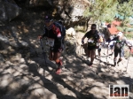
At Memurubu we entered the cabin and took an ‘aid station’ break of warm coffee and buns. I changed base-layer to a dry merino top and prepared for the next section.
We had had rain all day so far, but it had been pleasant in type 2 kind of way. Baz and Geoff decided to wear tights, I stayed in shorts. The option to pull out and take the ferry was not really an option, we were committed to the task.
Leg 2 Memurubu to Gjendesheim
The climb out of Gjendebu is steep and I soon removed my jacket, there was a hint of better weather coming and I loudly said, ‘it is clearing up!’ Famous last words…
The jacket soon came back on, and the rain increased. I was now on my second set of gloves, good old Raynauds in the hands brutal in bad weather.
This route is one of the most popular in Norway. Many take the early boat to Memurubu from Gjendesheim and then return via Besseggen, an average time taking 7-hours. On a good day there are many, many people. Today, hardly anyone.
The terrain is hilly and rocky as we headed to the foot of Besshøe and then on to Bjørnbøltjønne, the highest point on the route before heading down to the southern end of Bessvatnet.
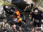
Now we were at Besseggen, the steep climb ahead of us and Geoff loudly saying, ‘Are we going up there…!’
I reassured him it was not as bad as it looked. However, the steep rock face has an extra challenge in the rain. We stared the climb and soon came across a group of teenagers frozen on the mountain unable to proceed. They were questioning the decision to come this way, and they asked Geoff what time the last boat was at Memurubu! Unfortunately, they would not make the last boat if they backtracked, however, the cabin would look after them.
Ahead I heard screaming and crying. It got louder as I climbed only to find a mother trying to climb with a young girl who was beyond terrified. I offered help but it was refused. ‘We will be fine; she is just very anxious and scared.’ No shit I thought to myself. As I climbed up, I saw her husband and another child. They had back-up help but I stopped multiple times to make sure that I was not leaving a potentially disastrous situation.
Geoff and Baz were making good headway, every 5 to 10m I would stop and make sure their line was good.
The 350 meter climb up to the top cairn on Veslfjellet 1743m soon passed and now the weather was wild.
Wind was raging in from the right, the rain was torrential and the visibility poor.
We regrouped and I clearly expressed that we NEEDED to move. It was no stopping and all running now down the, at times, steep and rocky descent to Gjendesheim.
This was without doubt the hardest hour of the whole week and clearly demonstrated how Norway, as beautiful as it is, can turn wild and violent.
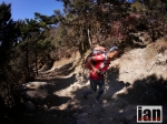
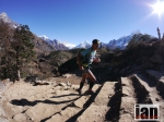
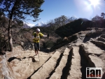
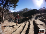
Soon we were on the final stone steps that lead to the DNT and lake Gjende.
We were absolutely soaked and exhilarated with the day. It was true Norwegian mountain day, and we had completed the whole 26.1km with 1800m vertical in 6h 30m on what was a very tough and slow day.
All three of showered for a good 15-minutes. A cold beer followed quickly and before we knew it, we had another wonderful 3-course meal with Reindeer as the main course.
The evening was chilled and relaxed. We had a short concert of traditional music, and we discussed the completed adventure.
My offer for a following morning run was very quickly turned down.
A good sleep and the following day we departed at 1400 for a direct bus to Oslo and onward travel.
What a stunning week!
Thoughts and Summary
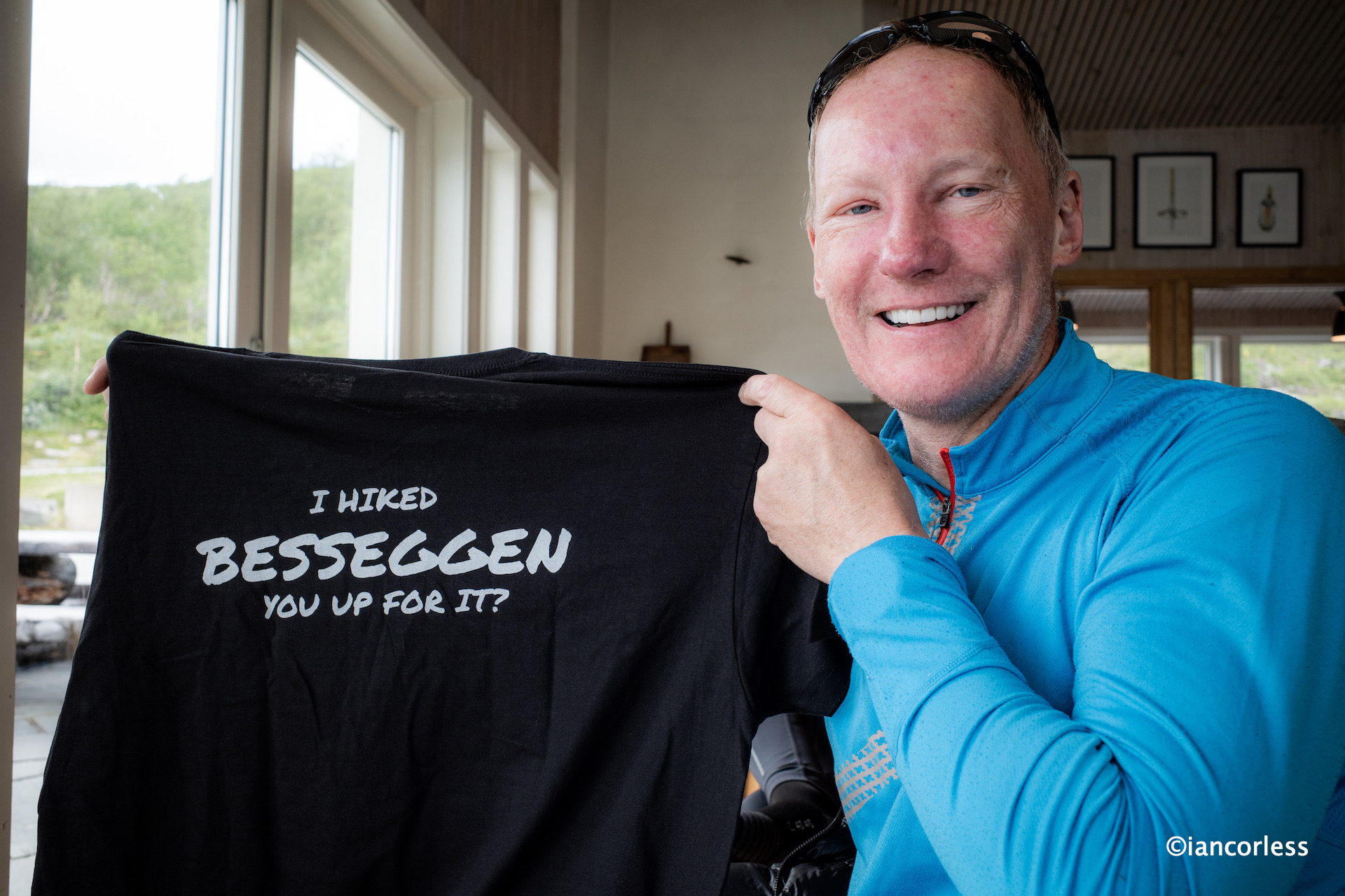
He got the T shirt 🙂
For me, there is no better way to travel through the mountains of Norway than by cabin-to-cabin. What the DNT offer is a five-star service and it really is a privilege to have this available. A shower, a bed, hot meals and a drying room for apparel and shoes is stunning.
Few people travel fast and light, they prefer to move at a slower pace with loads of equipment and take long stops and plenty of sight-seeing.
However, fast and light allows for a faster pace, the option to cover more distance and ultimately, more relaxation times in the cabins.
You do need to be experienced and prepared to move in this way.
Magical
In sunny and beautiful weather, fast and light is easy. In bad weather you need to be prepared, constantly making judgement calls and adjusting speed so as to ensure you are safe. Our final day a prime example.
We were well prepared and all three of us had the right and correct equipment for the planned adventure. The option to change a base layer at Memurubu for me was spot on, as was the decision for Baz and Geoff to move out of shorts and into tights. Despite the torrential rain, wind and colder temperatures, all three of us still had emergency layers of insulated jacket, waterproof pants and a bivvy bag available in our packs.
We all brought poles and on day 1 we used them a great deal, less so after. Geoff broke a pole on day 1 which was frustrating. However, when finished, Geoff said he would not bring poles next time. I understand his thought process, but, the additional weight of just over 200g is an excellent security blanket if moving slower or picking up an injury. Just learn how to use pols before.
The full route
Due to the nature of the DNT layout, sometimes we were not in the main building, and we all wished we had brought some very light flip-flops. I am now searching the internet for the lightest and most practical.
Good shoes are essential and normally I would never say YOU MUST get these shoes, but VJ Sport shoes and the amazing Butyl outsole are the only run shoes that can be relied on for Norwegian rock, especially when wet. Geoff and I wore VJ, me in the MAXx2 and Geoff in the Ultra. Gaz wore Altra and he had no grip – it compromised his enjoyment.
Norwegians have a saying, there is no bad weather, just bad equipment. It’s very true. We had mixed weather for our trip and in all honesty, it made the trip better. I never took my camera out on the last day as the weather was so bad, but I absolutely loved the challenge of making that route in bad conditions. Just a shame Geoff and Baz did not get to see those iconic Besseggen views down the lake and the surrounding area.
Finally, if you are interested in joining us in July 2025 for a similar journey, please get in touch. We will have 8-places available.
The Coastal Challenge 2024 is upon us. An event 20-years in the making, this will be a special year! A gruelling multi-stage race, participants will cover 240km’s with 10,000m+ of vertical over 6-stages. The ‘Adventure Run’ covers 145km’s.
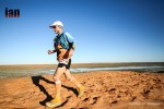
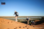
An adventure for all, TCC is the ultimate experience and an incredible way to explore Costa Rica. Starting in Quepos, the journey follows the Pacific Coast backed by the Talamanca mountains as participants weave in and out of rainforest, navigate gravel roads, endure long stretches of beach with no shade and of course, climb, descend and scramble rocks, riverbeds and waterfalls. The journey concludes in the Unesco Heritage Site of Drake Bay, a truly remarkable location even for the well travelled.
What can the runners expect?
Stage 1
Runners depart San Jose early morning (around 0500) for a 3-hour drive to Playa Del Rey, Quepos. Arguably the toughest day of the race, not because of the terrain or distance, but because of the start time! It’s a day for caution! The 34.6km is very runnable with little vertical and technicality, it welcomes the runners to Costa Rica.
Stage 2
An early breakfast, around 0400, the race starts with the arrival of the sun! The only way is up from the start with a tough and challenging climb. It’s a tough day with an abundance of climbing and descending and a final tough flat stretch on the beach, just as the heat takes hold.
Stage 3
Tough with 25km of climbing topping out at 800m followed by a drop to sea and a final kick in the tail before the arrival at camp. For many, this is a key day and maybe one of the most spectacular.
Stage 4
A tough and steep climb to start, but once at 900m the route is a roller coaster of relentless small climbs and descents, often littered with technical sections, rain forest, river crossings and boulders. At 30km, it’s a short drop to the line and the finish at 37.1km.
Stage 5
The long day but what a beauty! Tweaked a couple of years ago and now has become iconic with tough trails, plenty of climbing, sandy beaches and yes, even a boat trip. The finish just before Drake Bay offers a calm relaxation with a stunning backdrop and amazing sunset.
Stage 6
The victory lap! For many, this stage is the most beautiful and memorable. It is now a longer day due to the start and finish not being in Drake Bay. However, the experience is not diminished. The loop manages to contain a little of all that has gone before.
“TCC is a unique race and one that we are passionate about. We celebrate 20-years in 2024 and that alone is an incredible achievement and one that we are proud of. The race travels via dense forest trails, river crossings, waterfalls, long stretches of golden beaches backed by palm trees, dusty access roads, high ridges and open expansive plains, we created this race to show of Costa Rica and this beautiful coastline.”
TCC is proud of the elite line-up that has experienced this magical multi-day journey.
Here is the past 10-years winners:
2023: Didrik Hermansen – Katie Schide
2022: Hayden Hawks – Giuditta Turini
2021: Timothy Olson – Felicitas Charpin
2020: Cody Lind – Kaytlyn Gerbin
2019: Pere Aurell Bove – Ida Nilsson*
2018: Tom Evans* – Ragna Debats
2017: Tom Owens – Anna Frost
2016: Iain Don-Wauchope – Ester Alvez
2015: Iain Don-Wauchope – Veronica Bravo
2014: Michael Wardian – Jo Meek
2013: Dave James – Gemma Slaughter
Course records: Tom Evans 21:44:12 and Ida Nilsson 23:36:04
Ones to watch in 2024
2020 champion, Cody Lind returns to celebrate 20-years of TCC. With past experience, he know what to expect from Costa Rica. His ability as skyrunner work well on the demanding and technical trails, in addition, his speed for pure running grounded at Western States (2021, 2022 and 2023) transfers well to the gravel roads and beaches that this route brings.
Cristofer Clemente, an experienced skyrunner and trail runner, he won the 2016 Syrunner World Series for the ultra distance and in 2017 he took a silver medal at the IAU Trail World Champs. He has recently won Tenerife Blue Trail, Ultramaraton Guatemala and Puerta Vallarta Mexico by UTMB. He is without doubt a hot contender for overall victory.
Pierre Meslet placed 6th and 9th at Marathon des Sables, so, is no stranger to multi-day running. TCC will provide a different challenge, while the racing is still over 6-days, this time there is no self-sufficiency, no carrying a pack, just intense heat and humidity.
From Costa Rica, we have Erick Aguero and Carlos Calvo. Erick is arguably one of the most experienced TCC competitors with countless participations and podium places.
Lina and Sanna El Kott Helander (the El Kott twins) are grounded in adventure racing, skyrunning and mountain running. They are an adventure duo that push boundaries. In 2023, they both undertook the PTL; a 300km journey during the UTMB week. The duo are perfectly matched for Costa Rica and the terrain and challenges on offer.
Ester Alves won TCC in 2016 and return this year with a contingent of runners from Portugal. I am sure Ester will say that she is in Costa Rica for the journey and experience in 2024. However, Experience, skill and ability is never lost.
Katie Young will be an unknown name to many, however, in 2023 she was my hot tip for Marathon des Sables and she proved me correct placing 6th. TCC will be a new experience for Katie but watch this space…
Lindsey McElroy Ulrich from the USA joins the TCC party with a long list of ultra results that date back to 2014 on Ultrasignup. In 2022, Lindsey tackled the Marathon des Sables, so, she comes to Costa Rica with multi-day experience. No stranger to long distance, she was also 20th at UTMB.
In addition to the above, we have a wealth of Costa Rican talent who will toe the line
Schedule:
February: Saturday 10th to Saturday 17th, 2024
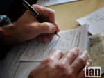
Official registration & poolside reception for competitors in San José: February, Saturday 10th
Race start: February, Sunday 11th
Race finish: February, Friday 16th
Race length: 6 days
Distance: Expedition Run 240km | Adventure Run 145km
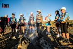
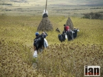
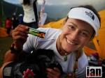
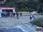
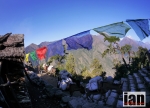
Day 3 of the Big Red Run unfortunately had no racing due to freak weather conditions during night 1 and throughout the day on race day 2. It left the Simpson Desert a mud bath of sticky clay. However, the runners embraced the day and used it for personal admin a real sense of group spirit came together where everyone helped each other to make uncomfortable camp conditions considerably better. The sun shone all day it is quite remarkable how the earth dried out. Overnight the temperatures really dropped (2 deg) leaving one or two runners with an uncomfortable night. Braddon DB Johnson whilst holding a hot mug of steaming coffee said. “It was in interesting night… I had every item of clothing on and was still a little chilly!”
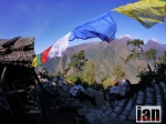
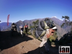
As the early morning mist burnt off, a glorious day welcomed the runners for a revised stage 4 that left camp via Big Red dunes. A clockwise loop with a couple of dog legs thrown in then re-navigated the runners back to Big Red and the finish line from which they had started.
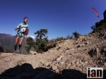
James Kohler has been trying all week for victory, often leading the stages in the early kilometres only to find in the latter stages. Today though, the 30km racing distance and a days rest played into his hands and from the off he opened just a slight gap from the usual protagonists of Elisabet Barnes, Andy Dubois, Jamie Hildage and Braddan DB Johnson.
As the run progressed, James slowly pulled away but it was a very slender margin and Elisabet made sure she kept him in sight throughout the day, she had said early in the morning, ‘Today is all about being sensible and making sure I don’t extend too much energy ahead of tomorrow’s 80km+ long stage!’
No doubt Andy, Jamie and Braddan had similar thoughts. James though seized his opportunity and ran a great stage 4 to take 1st place in 2:56:03. Elisabet crossed the line 2nd in 2:59:45 and Andy Dubois placed 3rd in 3:01:04.
It was a close day with the top 3 men and ladies all finishing within a 30-minute window. Jamie Hildage placed 4th and Braddan DB Johnson 5th, their respective time of 3:04:06 and 3:08:58. Helen Durand was the 2nd lady 3:20:03, she has performed consistently throughout the race and Anne Bennet seized the 3rd place in 3:33:27.
Tomorrow is the long day and runners will be resting up in camp and preparing for a long day ahead. Weather and ground conditions have improved dramatically over the last 24-hours and although a new route has been planned, hopefully it will include much of the terrain of the original proposed route. Camp will be moved tomorrow and although it may not be located in the original camp 5 location, it will be placed close leaving the final stage 6 ‘fun run’ as close to 8km as possible. After all, there is a very serious barbecue, cold beers, showers and some entertainment planned for post race recovery.
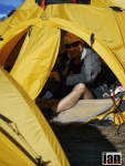
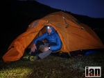
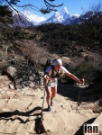
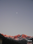
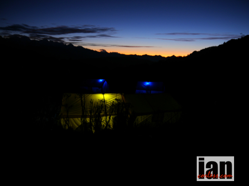
Oh boy, did it get cold last night! Of course, cold is relative, but -10 in a tent is pretty darn cold for this Brit boy. Needless to say, no matter how good your sleeping is/was, pretty much everyone slept in base layers and down jackets with either hoods up or hats and a ‘buff’ on.
I was comfortable, however, how do you keep your feet warm? I need to know the answer to that question.
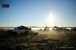
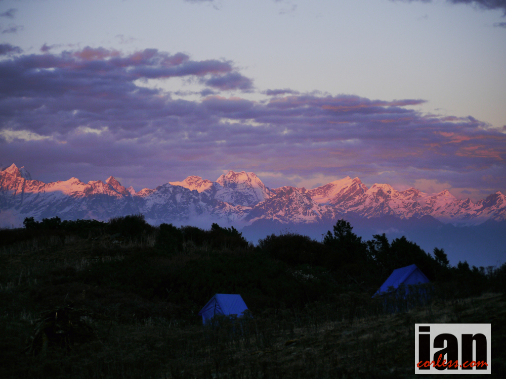
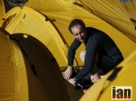
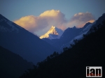
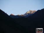
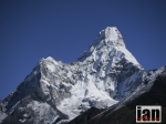
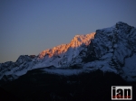
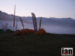
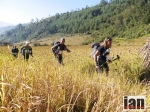
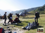
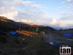
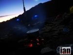
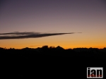
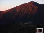
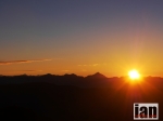
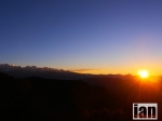
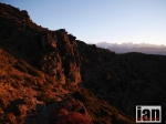
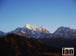
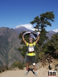
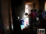
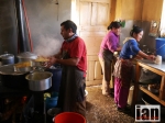
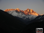
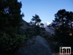
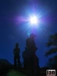
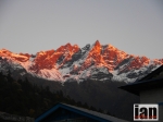
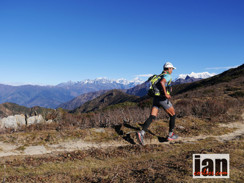
A smiling Sherpa provided me with steaming mug of sweet black tea at 0500 to awake me. What a way to start the day. The sky was clear and although it was still well below freezing we all knew that hot and beautiful day was ahead of us.
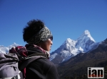
I hiked out of camp to a near by summit and photographed the sun greet us with it’s warmth. By the time I returned, camp was back to life as Sherpa’s and porters prepared food, set up equipment and made ready for another long day.
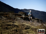
Once again, it would be a split start, 0700 and 0800. Today’s stage had considerably less climbing than stage two, however, it had lots of descending, it may not hurt the lungs as much but it would certainly hurt the legs.
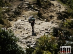
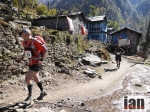
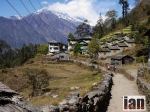
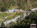
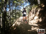
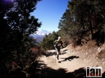
A short climb out of camp the runners would then descend to Jumbesi (CP1) at 2696m. This initial trail would see them running through a dense forest section.
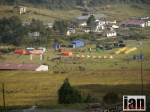
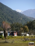
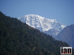
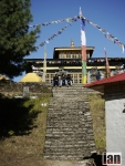
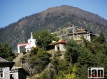
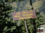
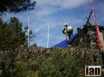
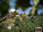
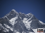
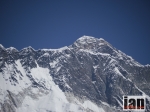
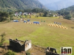
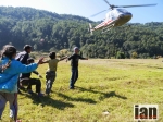
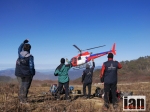
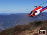
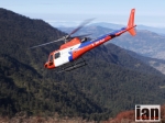
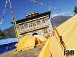
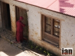
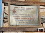
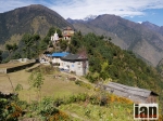
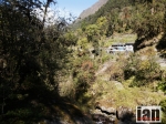
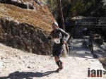
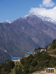
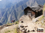
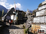
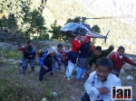
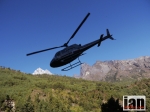
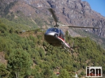
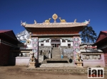
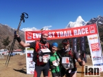
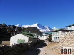
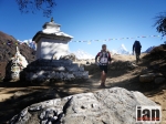
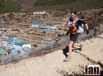
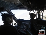
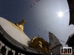
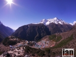
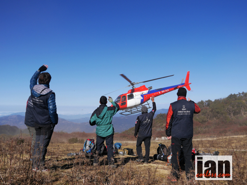
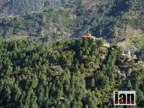
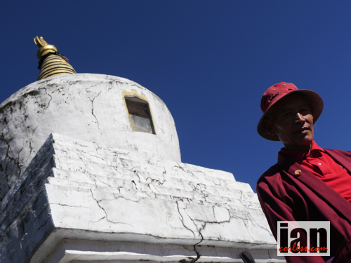
No hiking on the trail for me today, we were helicoptered out and treated to a stunning ride with the 8000m peaks to our left. What an experience! Our arrival at Kharikhola was equally impressive. Nestled on top of the mountain was a beautiful Monastery (Pema Namding) and the finish line of stage 3.
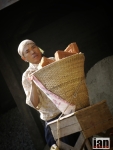
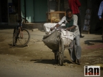
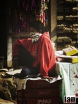
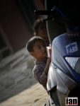
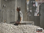
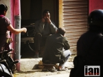
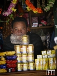
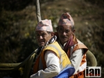
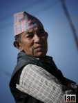
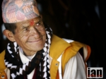
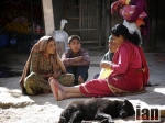
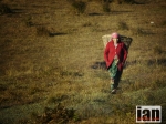
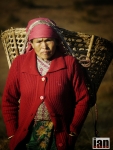
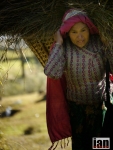
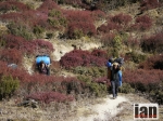
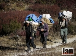
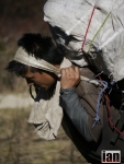
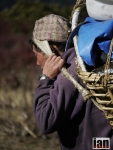
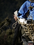
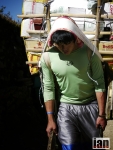
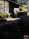
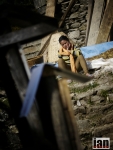
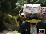
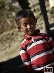
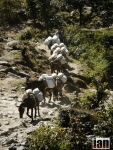
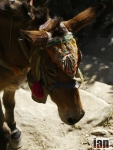
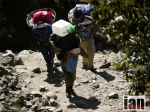
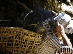
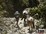
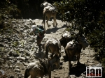
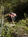
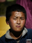
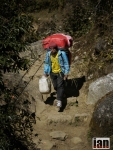
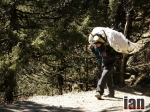
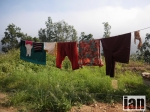
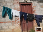
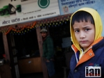
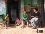
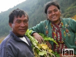
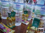
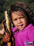
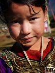
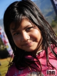
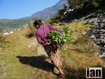
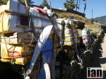
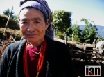
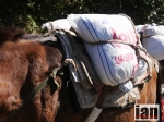
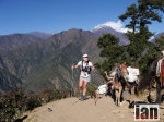
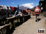
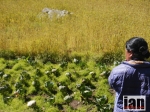
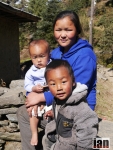
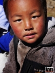
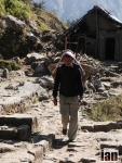
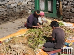
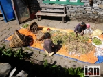
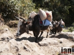
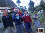
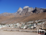
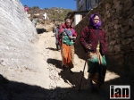
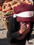
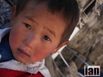
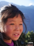
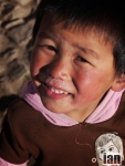
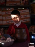
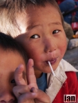
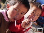
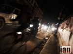
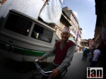
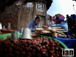
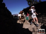
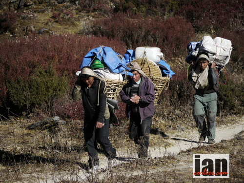
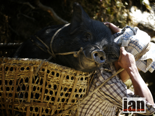
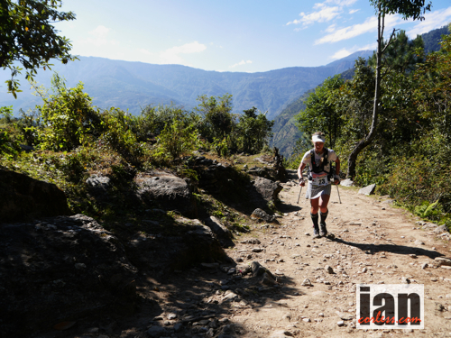
Kharikhola is a main trekking route and in addition, it is a main route for supplies. It amazes me to watch children carry baskets literally as big as they are and for sure, probably twice the weight. Donkeys go up and down the trail all day carrying all sorts of supplies, from bottles of gas, water, corn, maize, beer, Coke, cigarettes and so on. You suddenly realize how life moves around in these mountains.
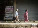
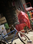
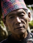
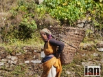
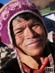
Sherpa’s arrive carrying packs that look as though it will be break their packs, behind them, a string of tourists with small packs and poles. No wonder the Nepalese make such great runners and mountain men. It’s a gift, a gift that Nepal provides them.
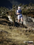
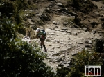
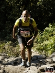
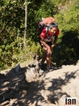
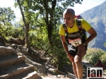
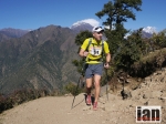
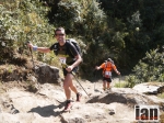
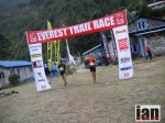
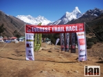
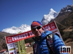
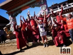
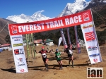
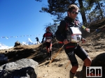
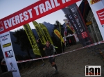
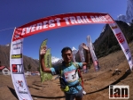
Back on the trail, not surprisingly, Upendra Sunwar was once again blazing a trail along this tough ETR route and Fernanda Maciel continued her dominance not only in the ladies race but a top-3 position overall.
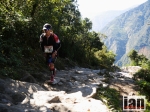
After CP1 at Jumbesi, the runners crossed the Junbesi Khola river and climbed up to Phurteng at just over 3000m. Descending to CP2 at Lharpa another climb awaited. The race now had a familiar format; Upendra would lead the men by a considerable margin, followed by Andrea Schambeck (today he said he didn’t feel quite as good) Francisco Salas and Ismael Dris. Ismael had a tough day on stage 2 looking as though he may pass out at Pikey Peak but he somehow he held it together. Today though he took a fall and was complaining of leg issues. He was still up in the top-5 though.
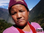
For the ladies, Fernanda like Upendra would lead by a considerable margin, followed by Nepalese, Yangdi Lama Sherpa and American, Shiri Leventhal.
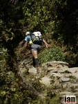
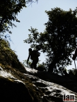
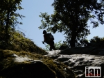
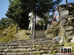
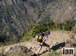
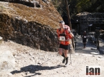
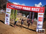
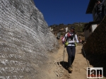
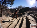
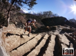
Leaving Taksindu La, the final long descent of the day, 3100m to 1500m in 10km. However, at the bottom the sting in the tail, a 4km climb from Jubhing to the Monastery finish at Kharikhola. I have seen and witnessed some very impressive race finishes in my time, but this one takes the crown. Incredible.
Upendra and Fernanda took out the respective stage wins and a detailed results listing will follow as and when available.
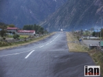
Stage 4 preview: Kharikhola to Llegada 27.5km
Departing the monastery a small descent awaits the runners of just 4km before a long tough climb to Kari La (CP1) at 2900m. From here the course goes up and down all around 2700/2800m for appx 10km before a very steep descent to CP2 at Surke (2200m). A continual climb to CP3 at Cheplung continues to the arrival at Phakding/ Llegaga.