Lanzarote Multi-Day Training Camp 2022 – Day 6

Day 6 of the Lanzarote Multi-Day Training Camp is the ‘long day’ covering a marathon on a beautiful point-to-point course that starts in Uga and concludes at Club La Santa.

The route was first introduced in 2020 with great feedback. The 2022 route was extra special due to the current weather – sun, warm, high winds and Calima. You actually couldn’t get better training conditions for a desert race.

The route is a perfect way to sight see and experience the best of Lanzarote. Early miles pass through countless black sand and wine fields.

At all times, the landscape is magical and unique, the resulting backdrop from the greatest recorded eruptions which occurred between 1730 and 1736.

The area is delicate and protected, so, for the most part, a route weaves its way through the landscape which must be followed.

While there are few high points (in meters) on the island, it is possible to ‘rollercoaster’ and in our marathon point-to-point we accumulated 1500m+.

The wind was strong all day, gusts almost lifting us of our feet.

From Tinajo, the fina third of the route, the conditions became increasingly hard as the harder ground became softer with large amounts of soft sand. A Buff making for great protection.


In the latter miles it was head down and push on… Finally Club La Santa could be see in the distance. A marathon done in perfect test conditions.

As training days go, they don’t come any better than today…! With just one day left, many of the attendees are now tired and looking forward to some recovery time to let the stimulus from this training take hold.

Each runner has covered different distances but the below is typical for many!

Day 6 concluded with showers, food, recovery and well-earned calm and peaceful night.

Interested in our 2023 Training Camp? Info HERE

Photo Galleries HERE

Please support this website. I believe everyone deserves to read quality, independent and factual articles – that’s why this website is open to all. Free press has never been so vital. I hope I can keep providing independent articles with your help. Any contribution, however big or small, is so valuable to help finance regular content. Please support me on Patreon HERE.

Follow on:

Instagram – @iancorlessphotography

Twitter – @talkultra

facebook.com/iancorlessphotography

Web – www.iancorless.com

Web – www.iancorlessphotography.com

Image sales –www.iancorless.photoshelter.com

Mount Toubkal, Morocco – Embrace the highest peak in North Africa

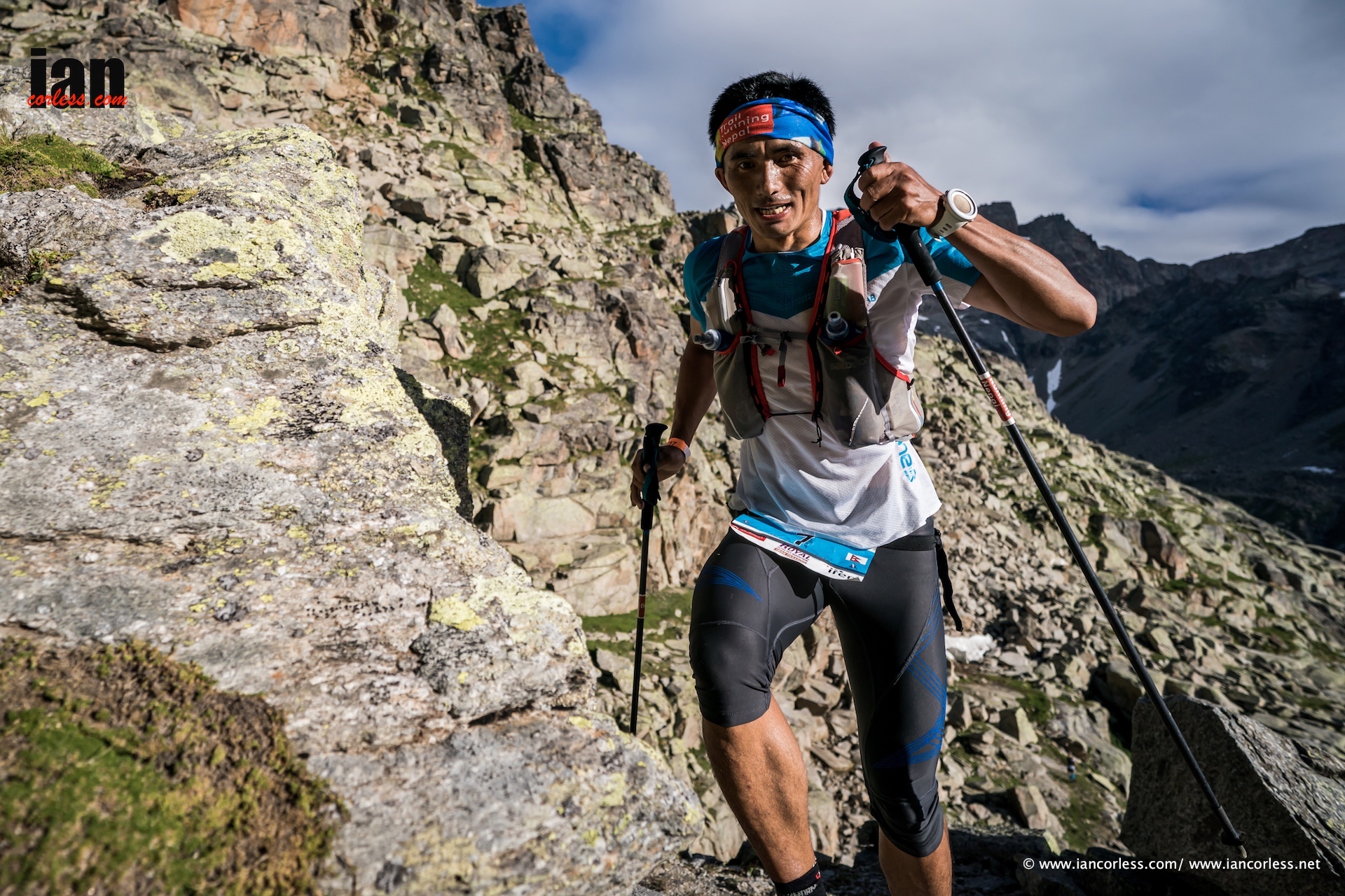
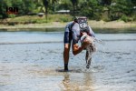
Located in the Toubkal National Park, Morocco, at 4167m, Jebel Toubkal is the highest peak in the Atlas Mountains. It is also, the highest peak in North Africa and the Arab World.

Located just 75-minutes drive from Marrakech (approximately 40-miles) the National Park and the Toubkal summit has long been an excellent opportunity for those looking for a challenge, either for a specific purpose or as an add-on to an active holiday. As ultra-running, mountain running and the desire to explore new places grows. Morocco and Toubkal is a great place to adventure. Toubkal is considered by many as a great entry level mountain and it’s altitude is a great allure.

Toubkal has two-seasons, Winter and Summer. In winter, summiting the peak brings different challenges as it is completely covered in snow and ice. Winter mountain skills are required and the use of crampons are essential.

So, in this article, we look at Toubkal as a summer adventure and in due course, I will follow up with a Winter article.

PRACTICALITIES

Flights to Marrakech are in abundance and if you plan ahead, you can get very good deals, particularly from some of the budget airlines.

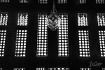
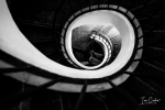
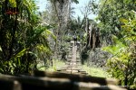
If you have not been to Marrakech before, I would say it is essential to soak up the atmosphere of the place by staying in the Medina (souk) in a typical Riad. Riad’s are standard Moroccan accommodation and like anywhere, you can go cheap or expensive. I have several favourites. My all time favourite, the ‘Dixneuf La Ksour’ (http://www.dixneuf-la-ksour.com ) which has only 6-rooms, excellent staff and they serve wonderful local food in the evenings and they have a licence to serve alcohol, if that is your thing!

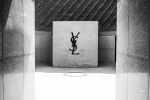
My advice would be, arrive Marrakech and then spend two days sightseeing. Visit the Medina, get lost and haggle for a bargain. On the following day you could visit the Yves-Saint-Laurent Museum (https://www.museeyslmarrakech.com/fr/ ) and the Jardin de Marjorelle (https://www.jardinmajorelle.com)  both worth the effort. There are many other things that one can do, but this is a good starting point. You could then go to Imlil/ Toubkal for your adventure and the return back to Marrakech for another day or two before returning home.

TOUBKAL

Depending on your budget, you can either get a taxi or a private car to the village of Imlil. This is the starting place for all summit attempts. A taxi will be 35-40 euro and private car 80 euro.

OPTION ONE:

This is a standard option for Toubkal, and what most people do on a first attempt.

They leave Marrakech after breakfast, looking to arrive Imlil, say for 11am. You then meet your *guide, have tea (nearly always compulsory) and then leave for the refuge.

*A guide is now compulsory in the National Park and you cannot enter without one. There are currently three checkpoints that you go through and on each occasion your guide must provide your passport and the details are logged.

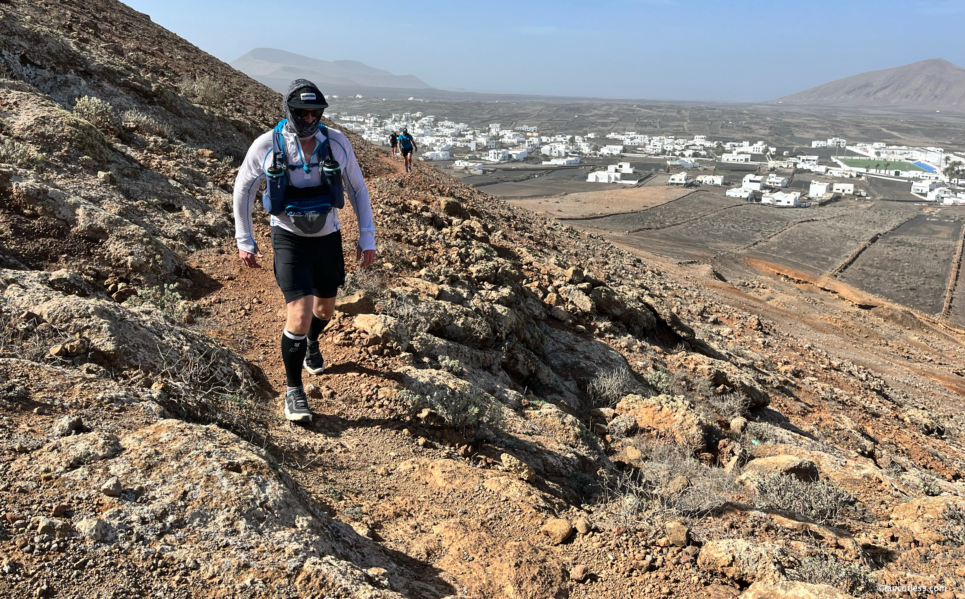
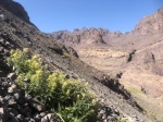
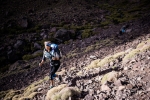
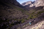
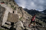
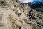
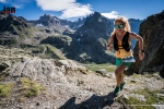
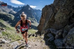
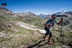
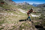
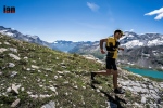
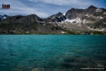
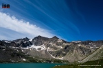
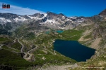
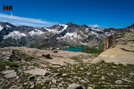
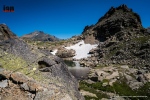
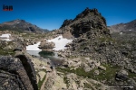
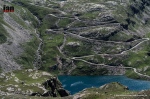
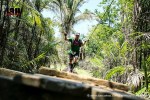
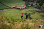
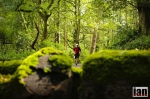
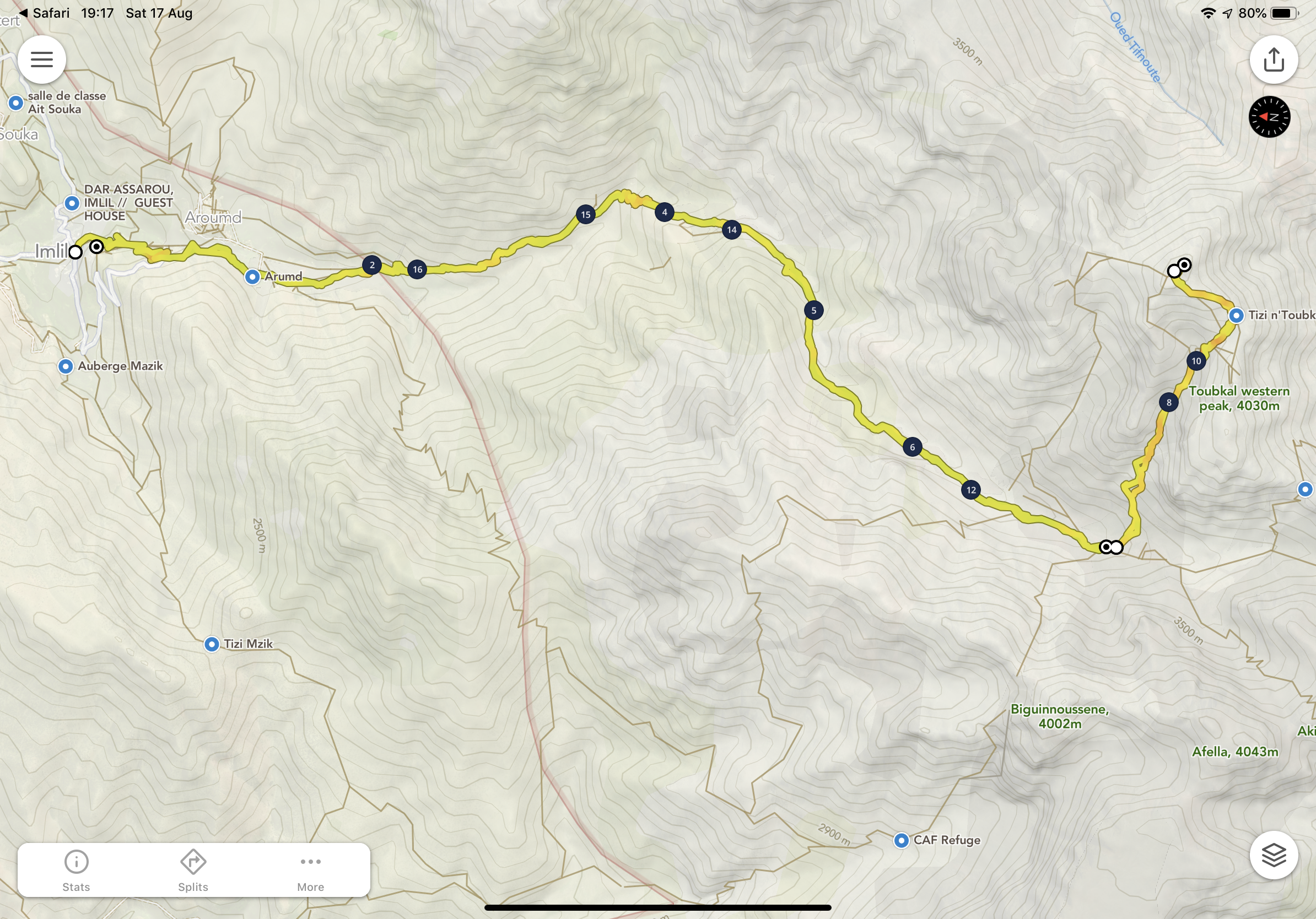
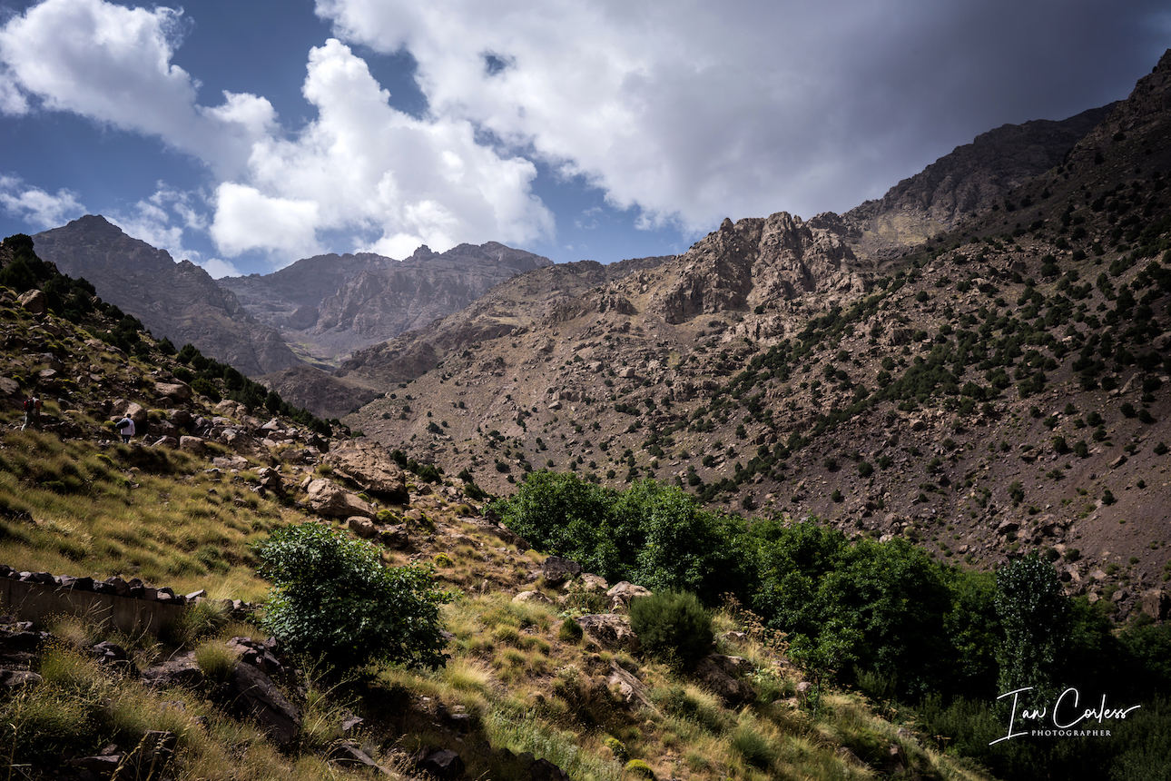
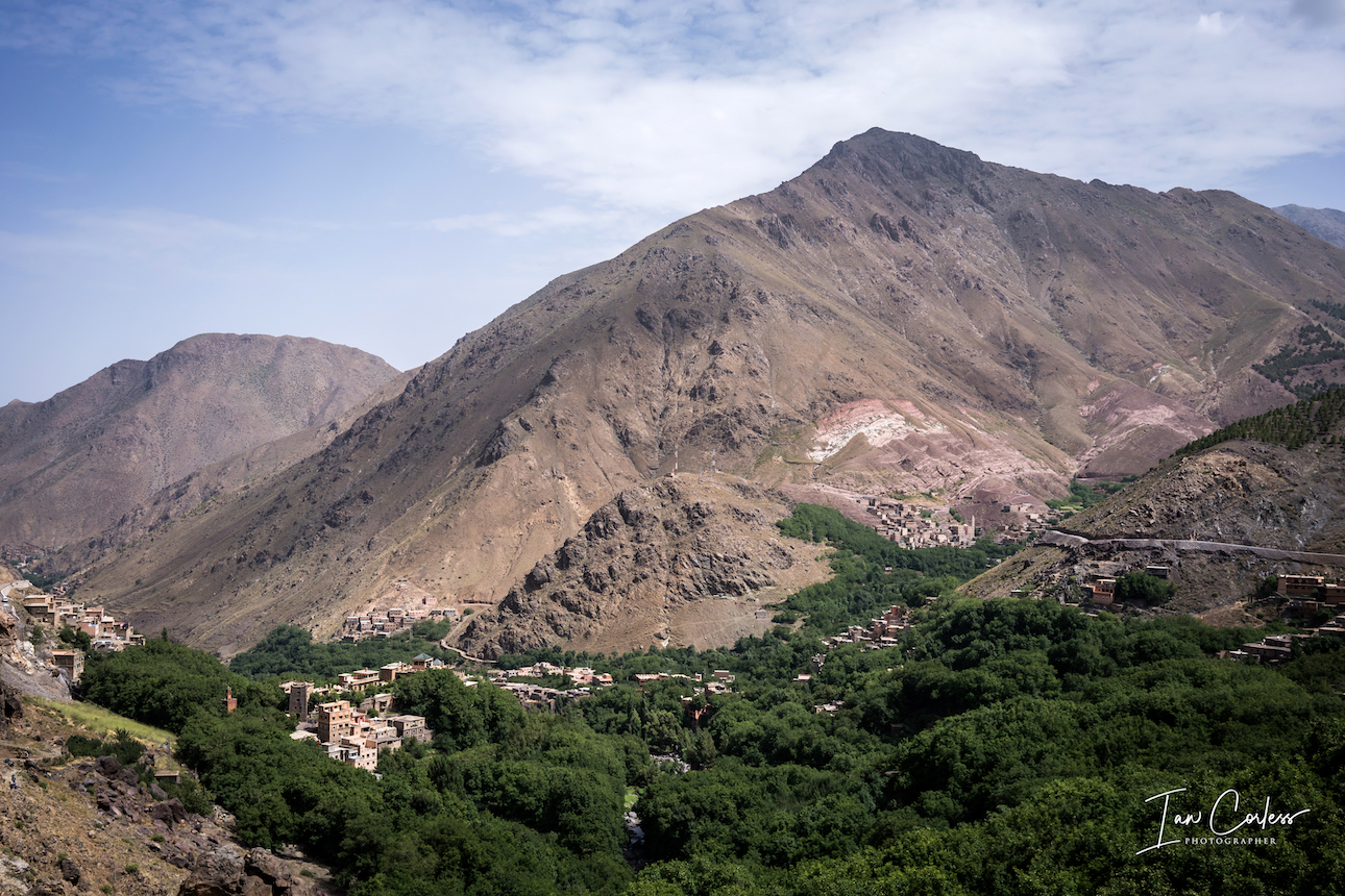
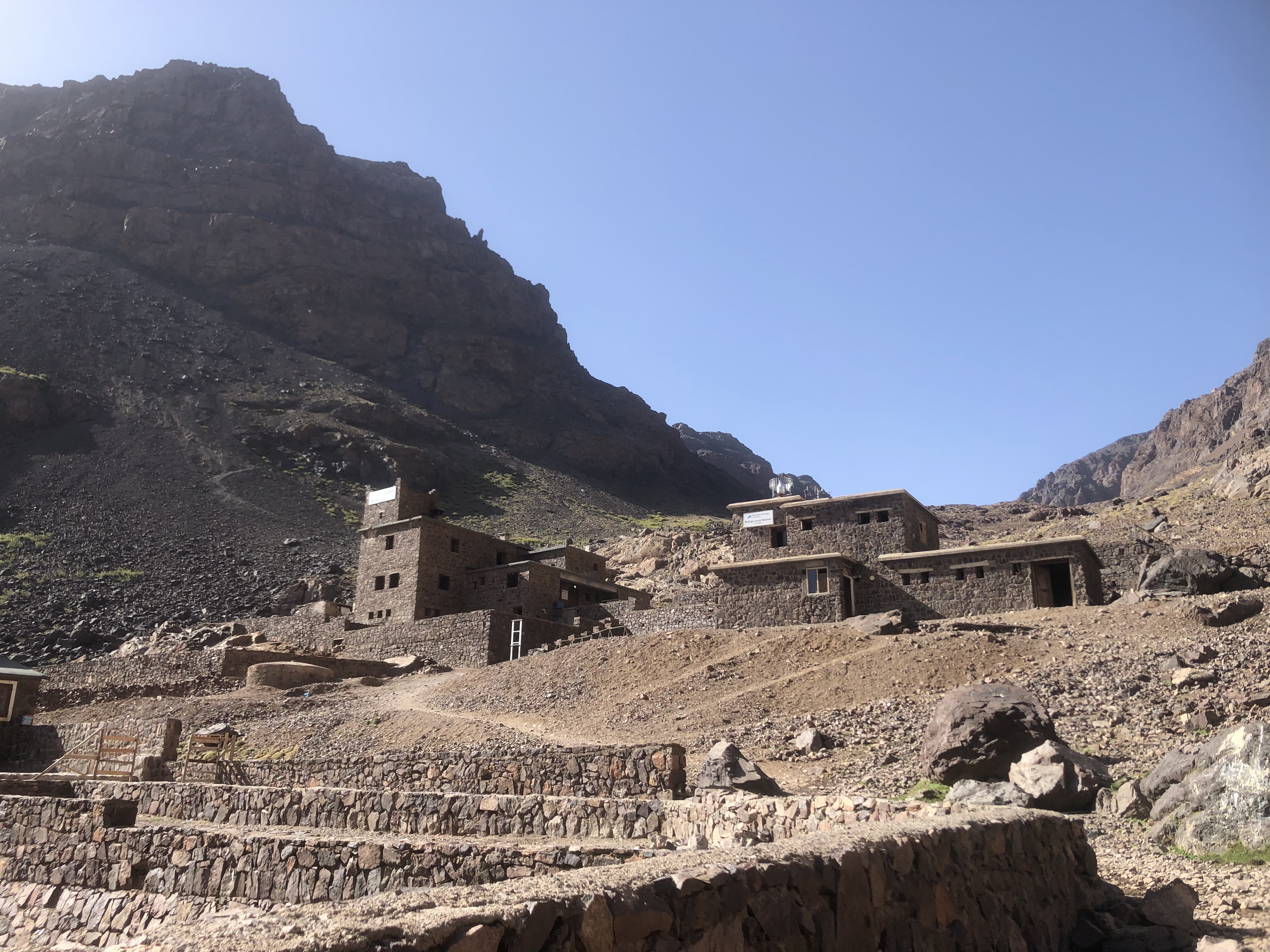
Imlil to the refuge is designed to introduce you to the terrain and slowly adapt you to the altitude. Imlil is at 1800m and the ‘Les Mouflons’ refuge is at 3207m. Depending on experience and adaptation, Imlil to the refuge can take 3-6 hours. 

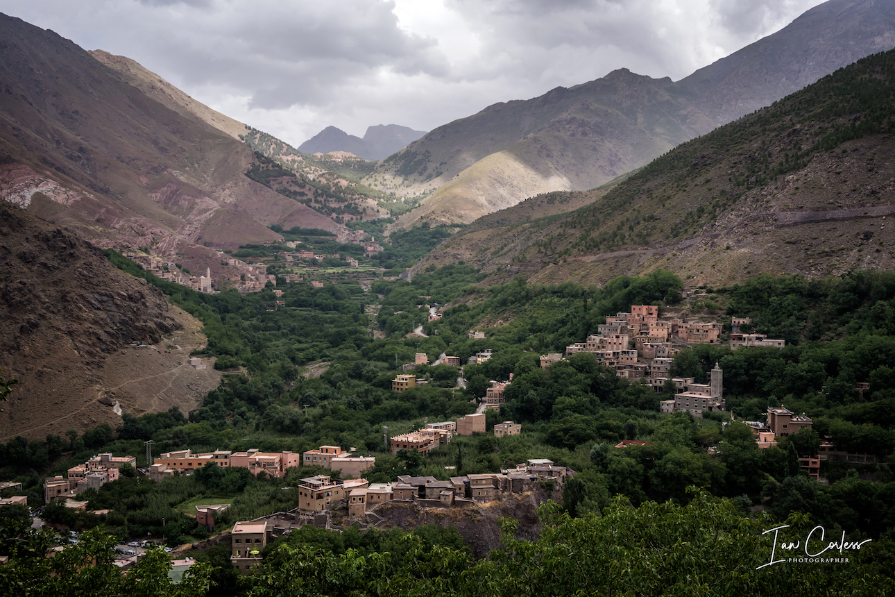
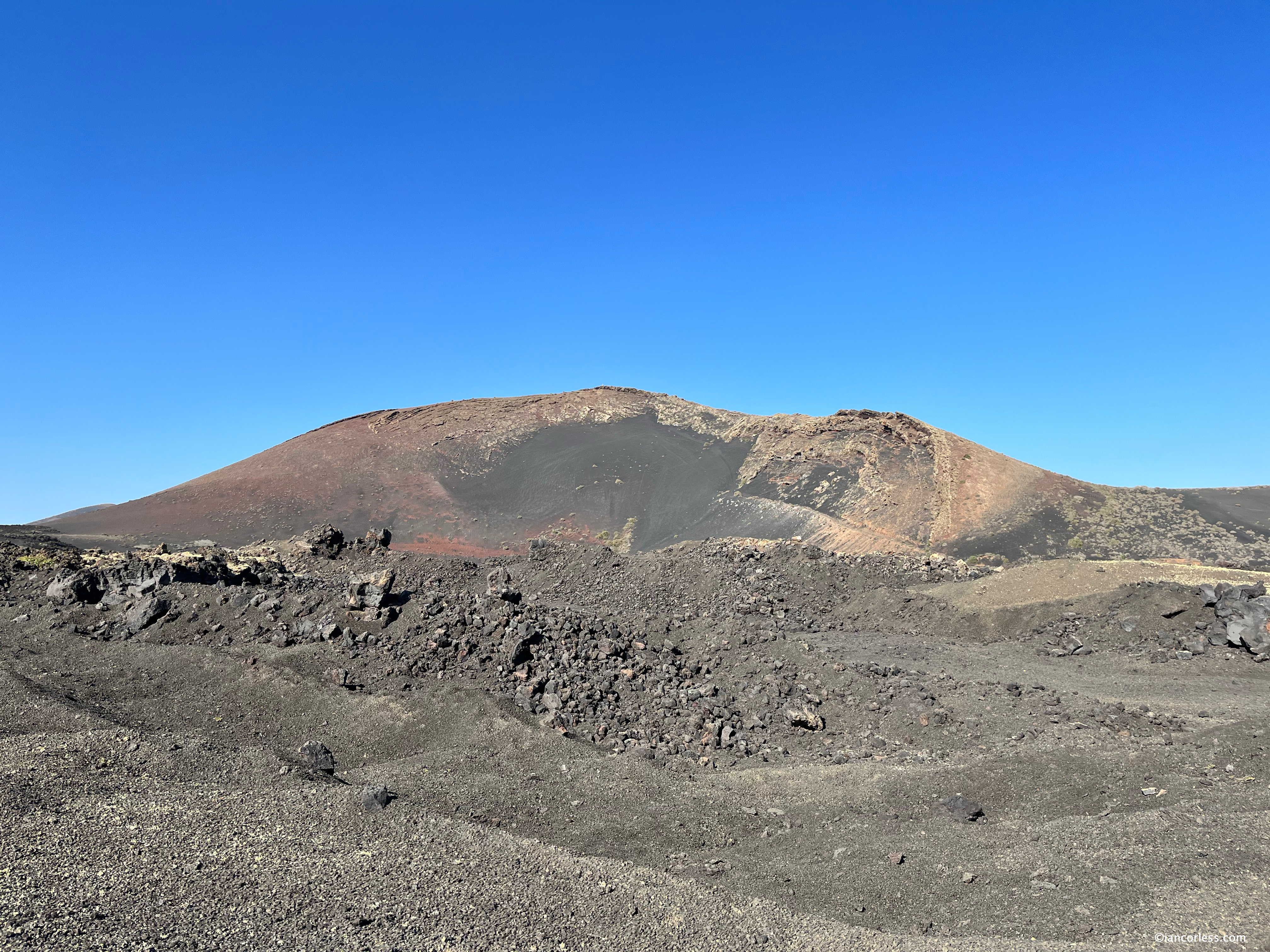
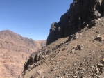
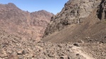
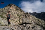
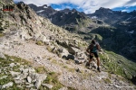
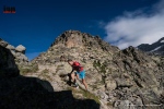
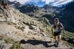
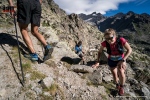
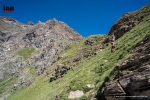
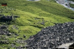
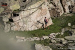
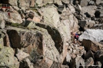
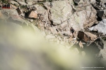
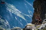
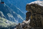
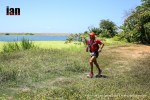
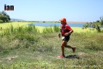
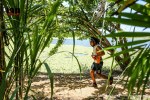
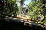
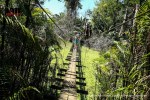
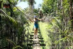
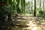
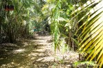
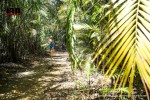
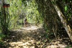
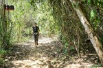
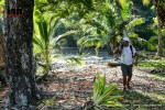
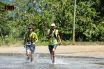
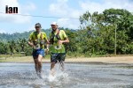
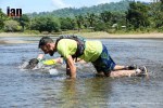
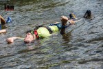
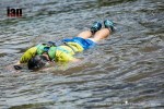
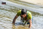
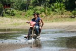
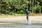
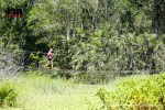
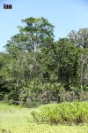
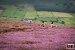
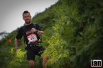
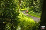
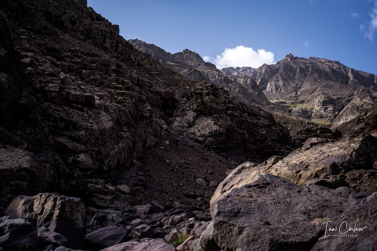
Leaving Imlil, you have a narrow trail that rises quickly to a road and then the village of Aroumd. Here you will meet the first passport control and then you cross a floodplain before starting the climb to the refuge. The terrain is rocky and rough but not dangerous.

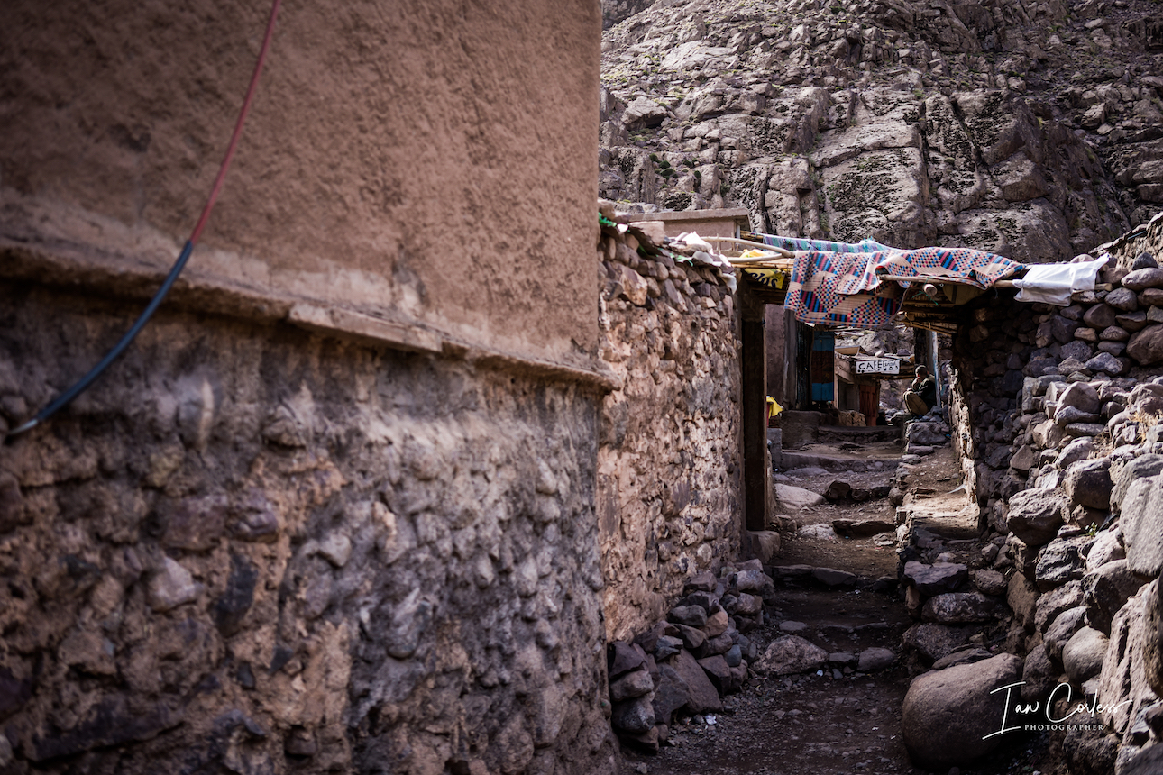
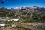
Chamharouch is the next passport control and here you will see a large white rock that is a Muslim Shrine. Here it is possible to get water, food if required and soft-drinks such as Coke.

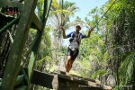
The path now climbs steeply and gently reaches upwards, once again the terrain is rocky. You will arrive at two disused building that now sell drinks and here is the 3rd and final passport check. Before you know it, you will arrive at the refuge located at 3207m.

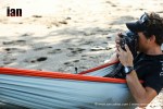
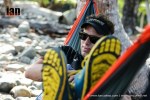
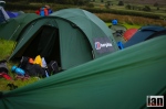
Depending on what you have arranged with your guide, you will have a meal at the refuge and then you will stay in a shared dorm with all the other climbers. These dorms are often unisex, so be prepared. You also need to be self-sufficient in terms of sleeping bag, additional clothes and warm layers. Everyone usually sleeps by 8/9pm.

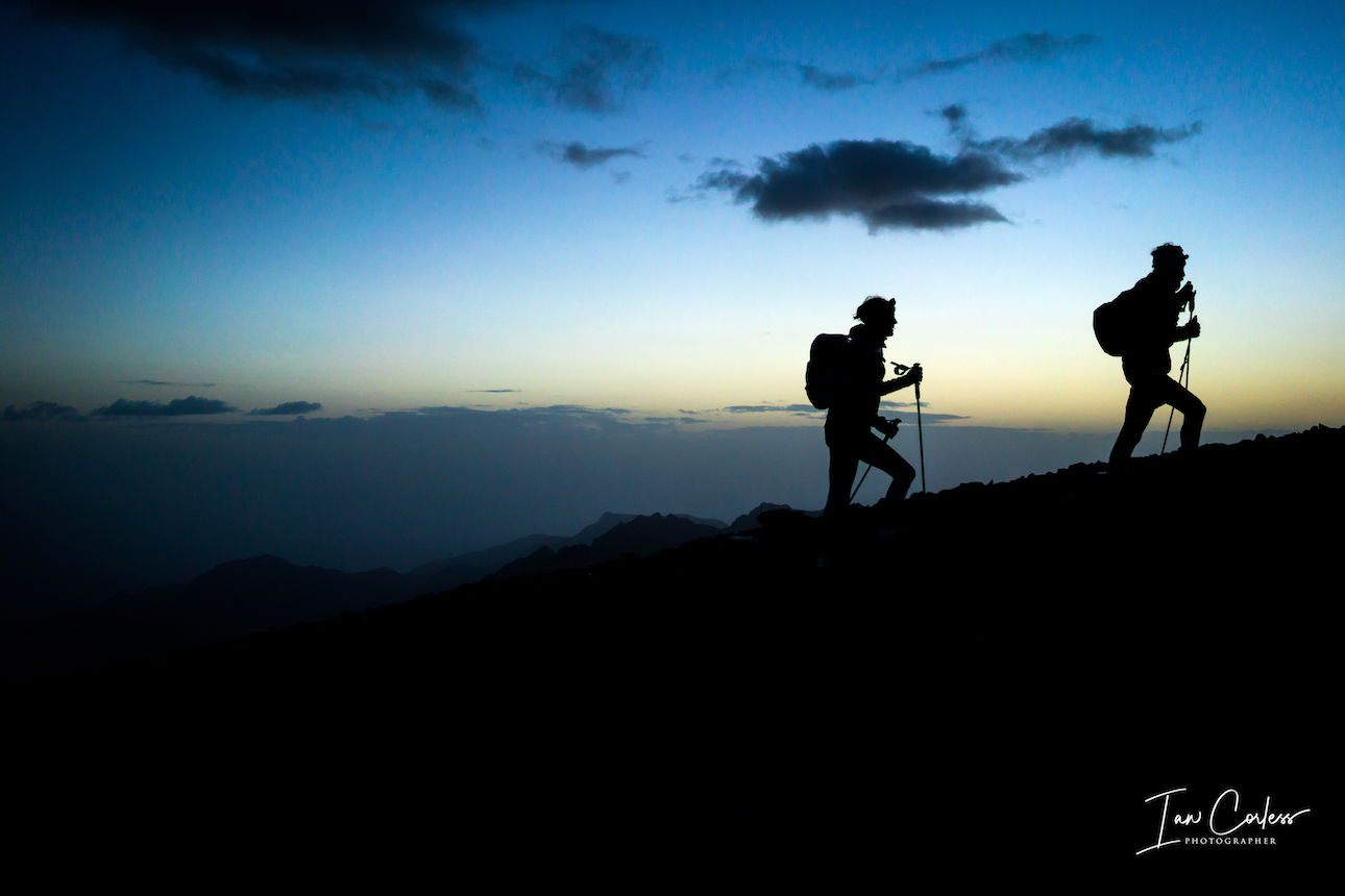
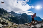
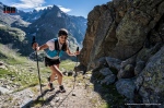
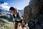
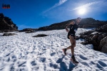
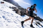
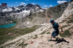
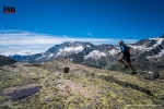
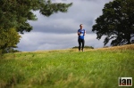
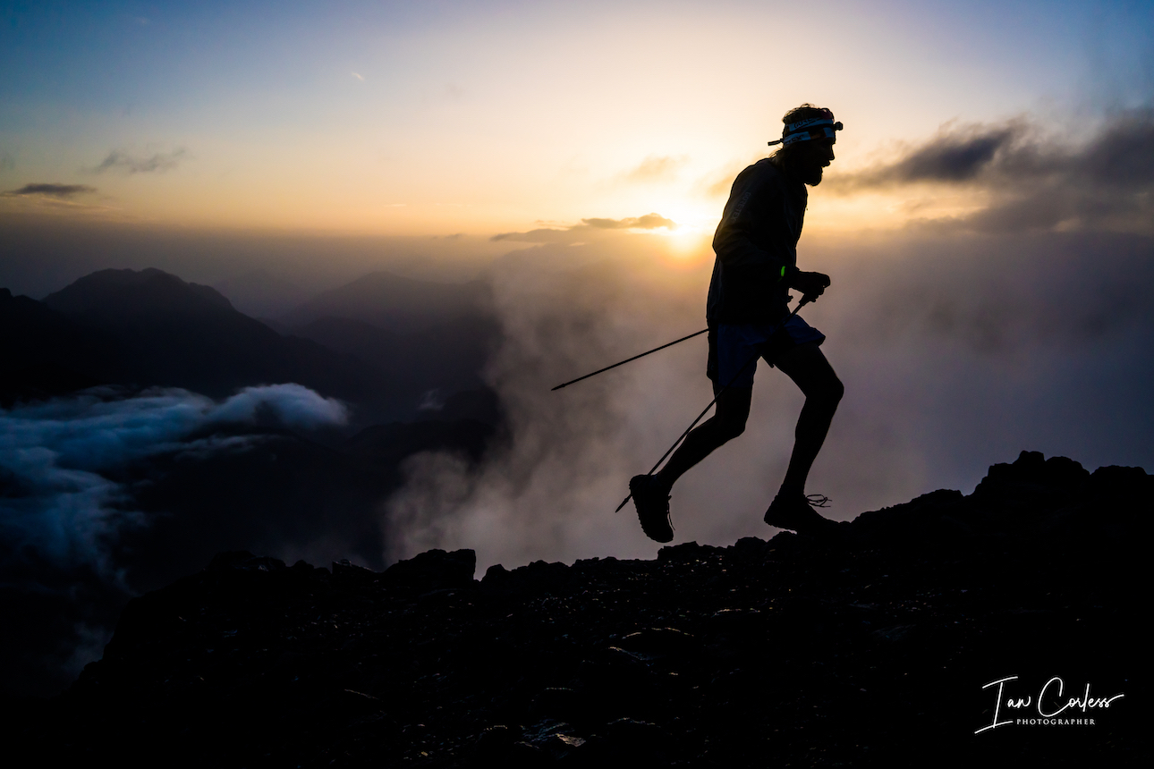
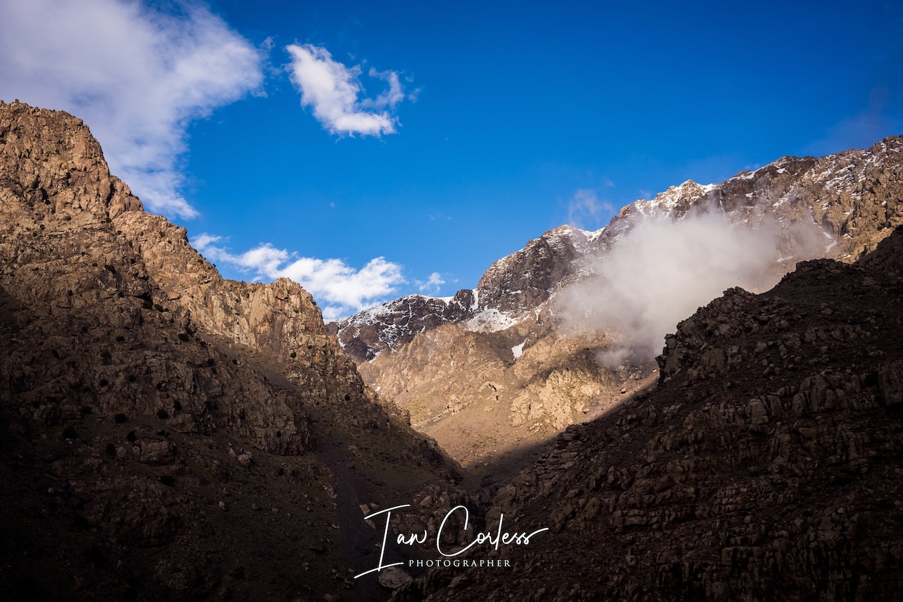
The summit day will typically start at 0400 with breakfast and the intention will be to start the climb asap. Sunrise is approximately 0700, so, depending on your projected speed, the guide will advise on a departure time so you can climb from 3207m to 4167m.

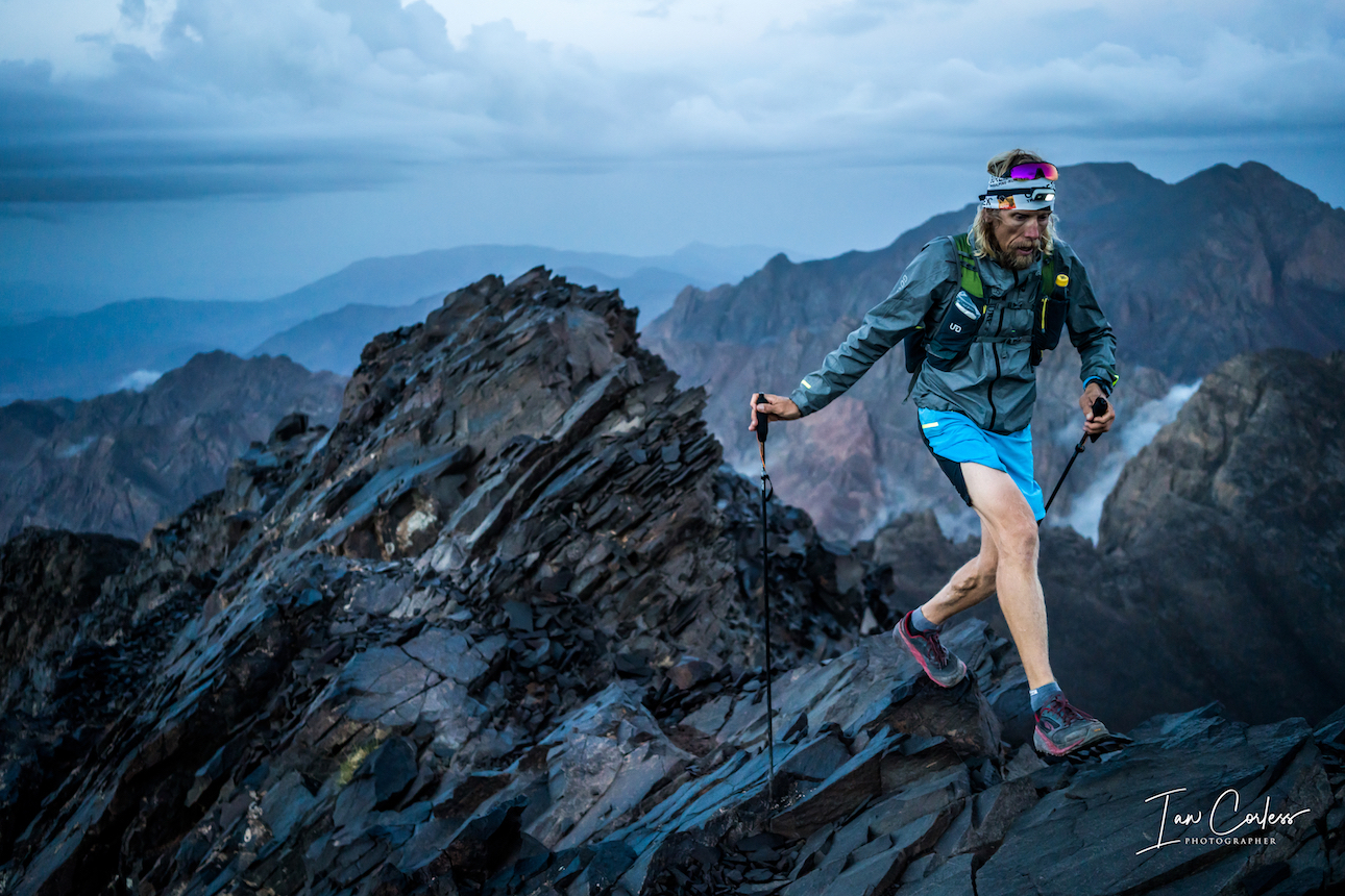
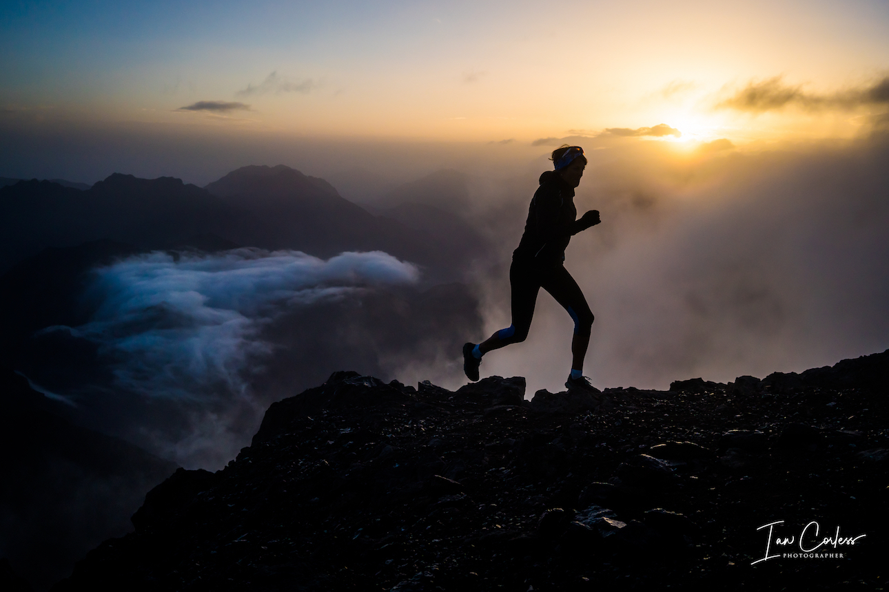
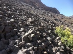
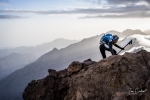
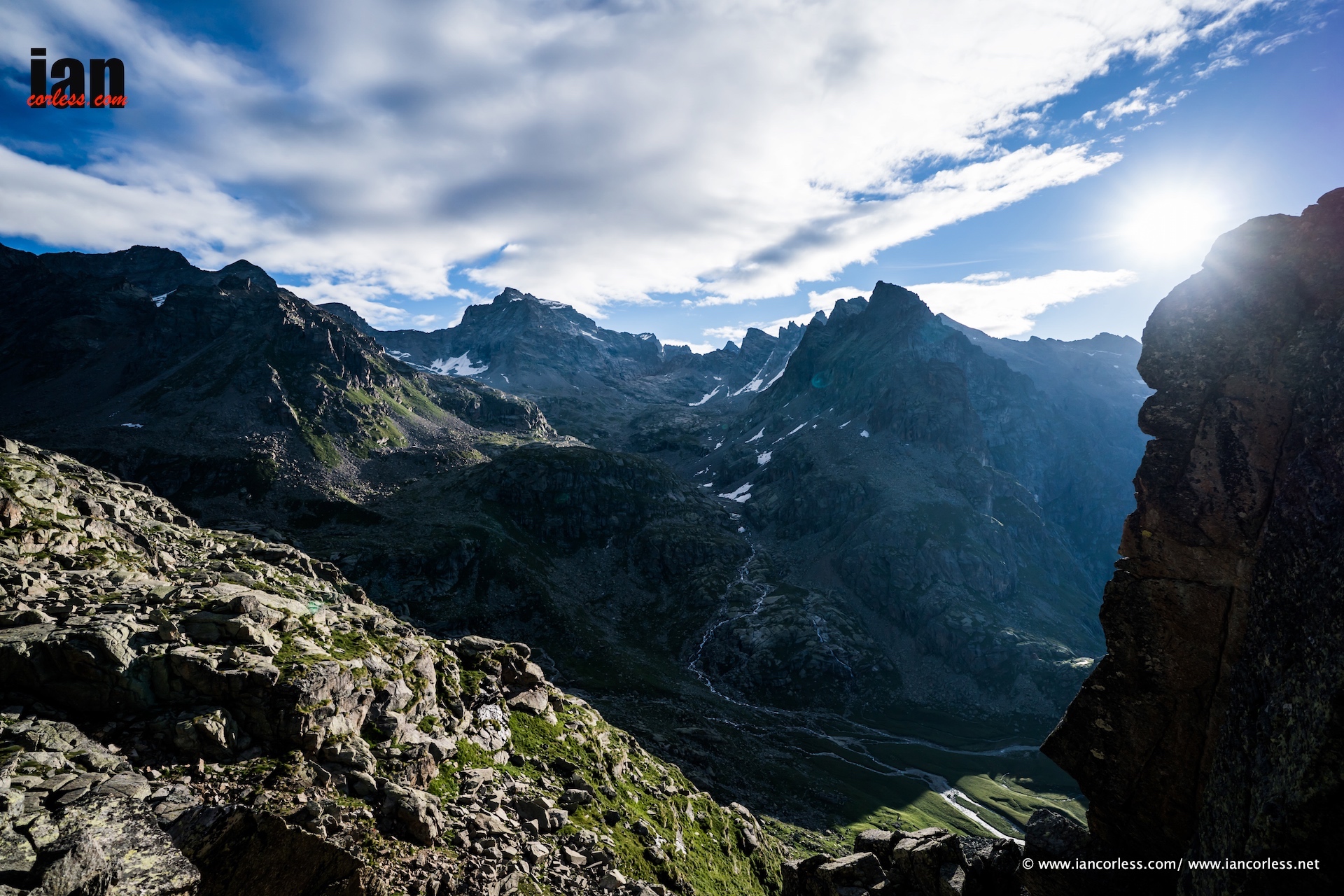
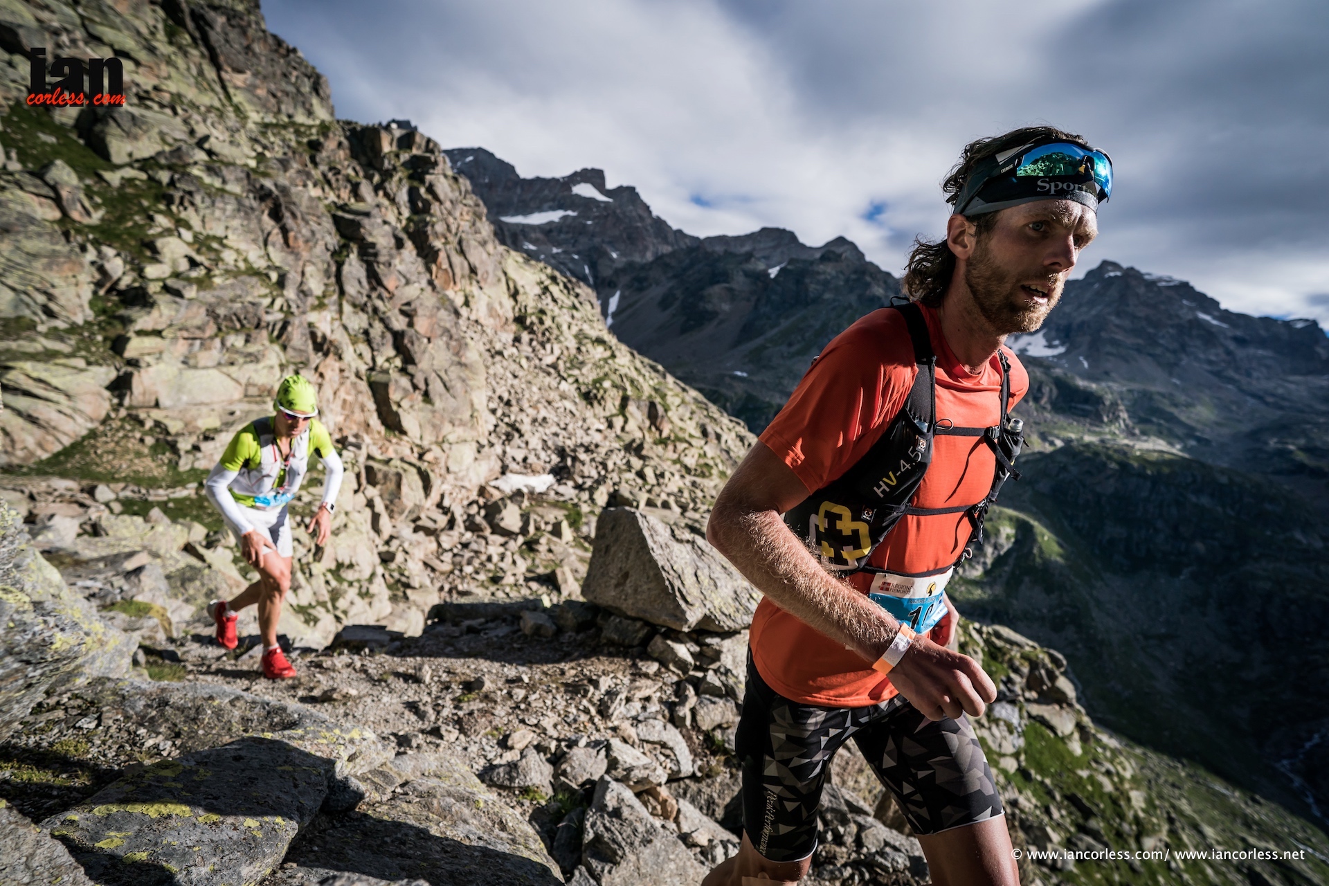
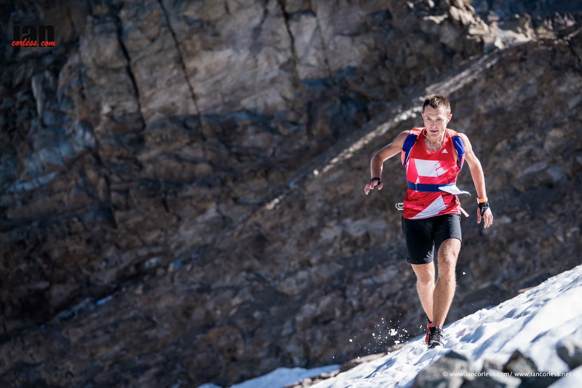
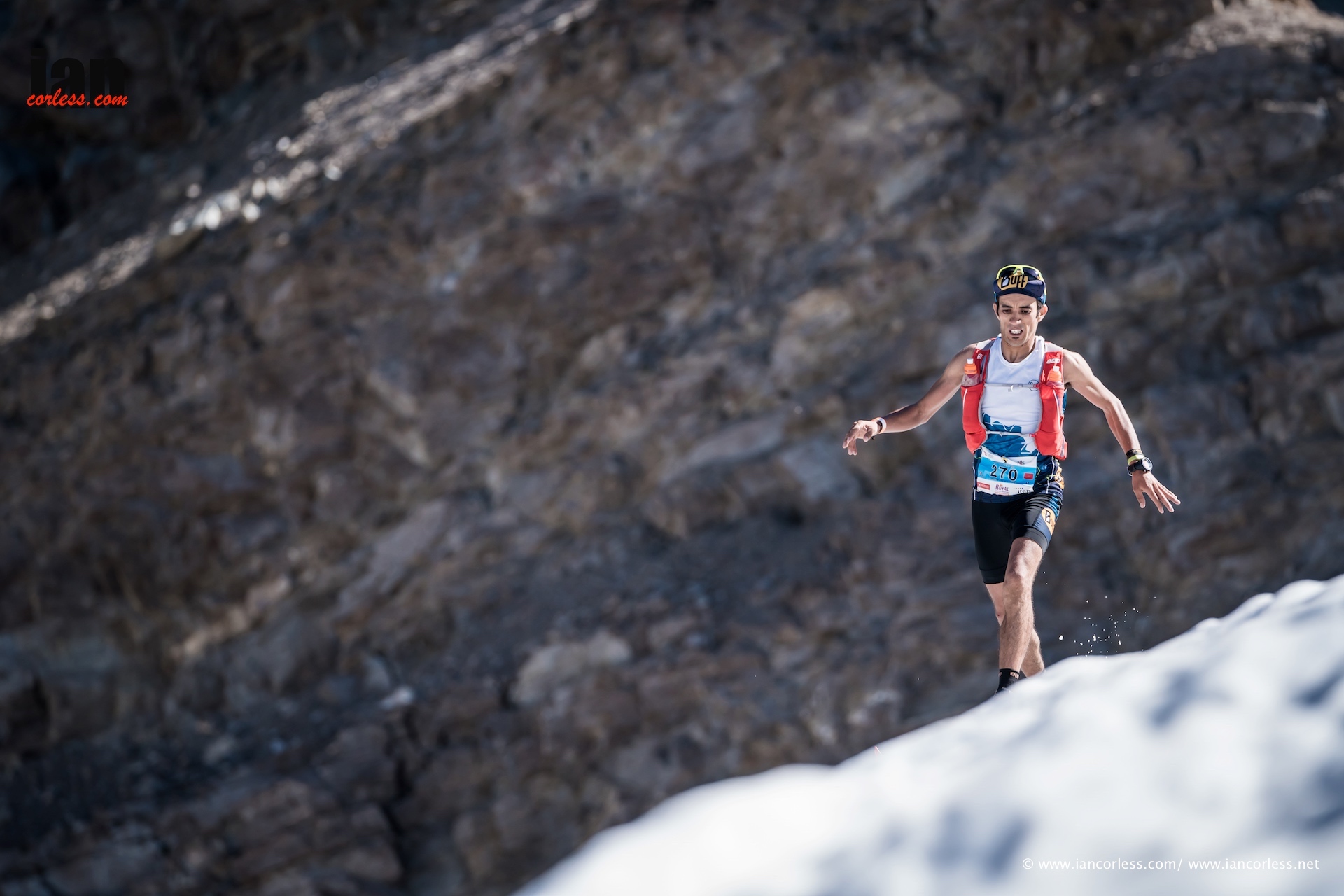
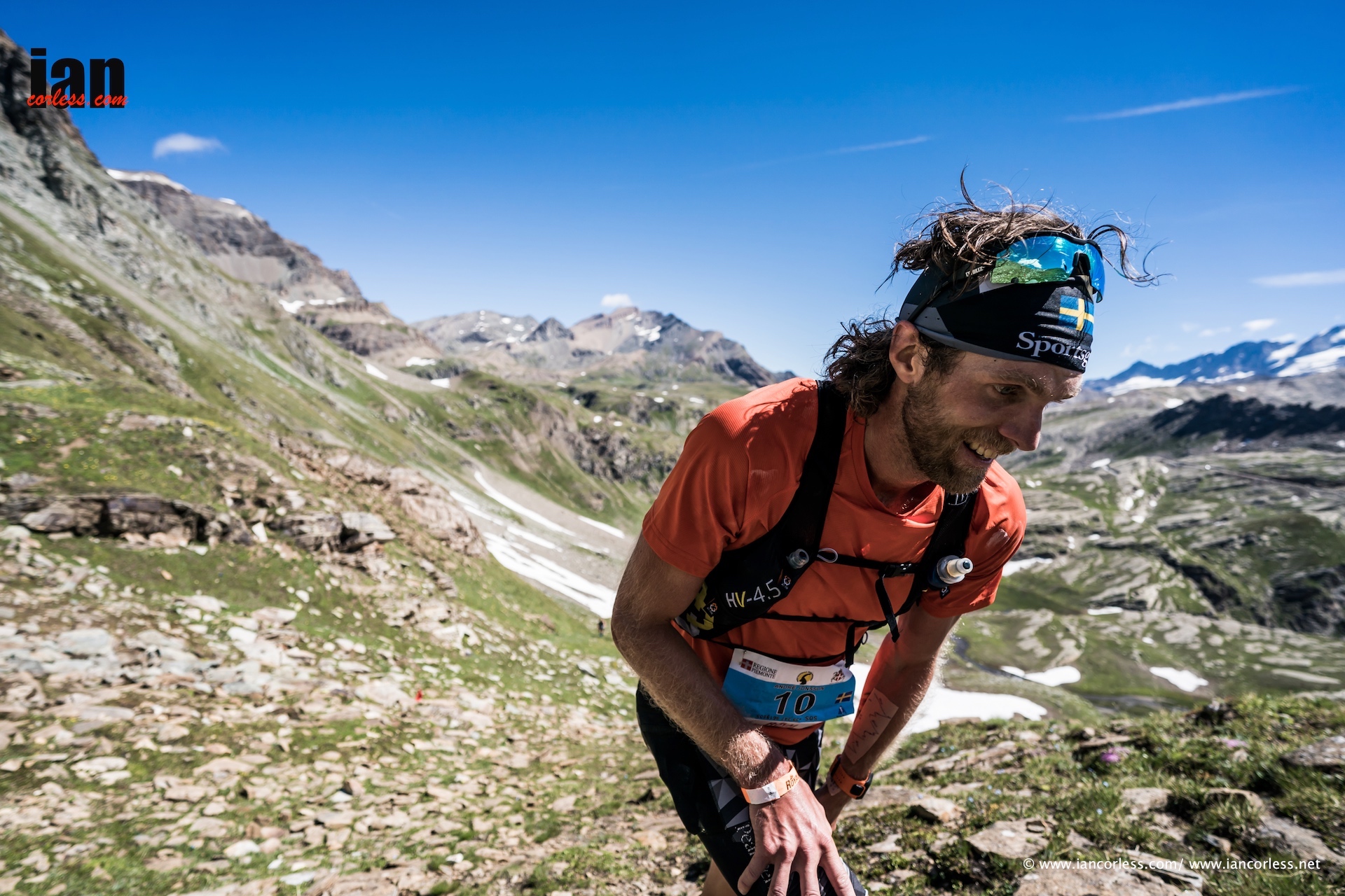
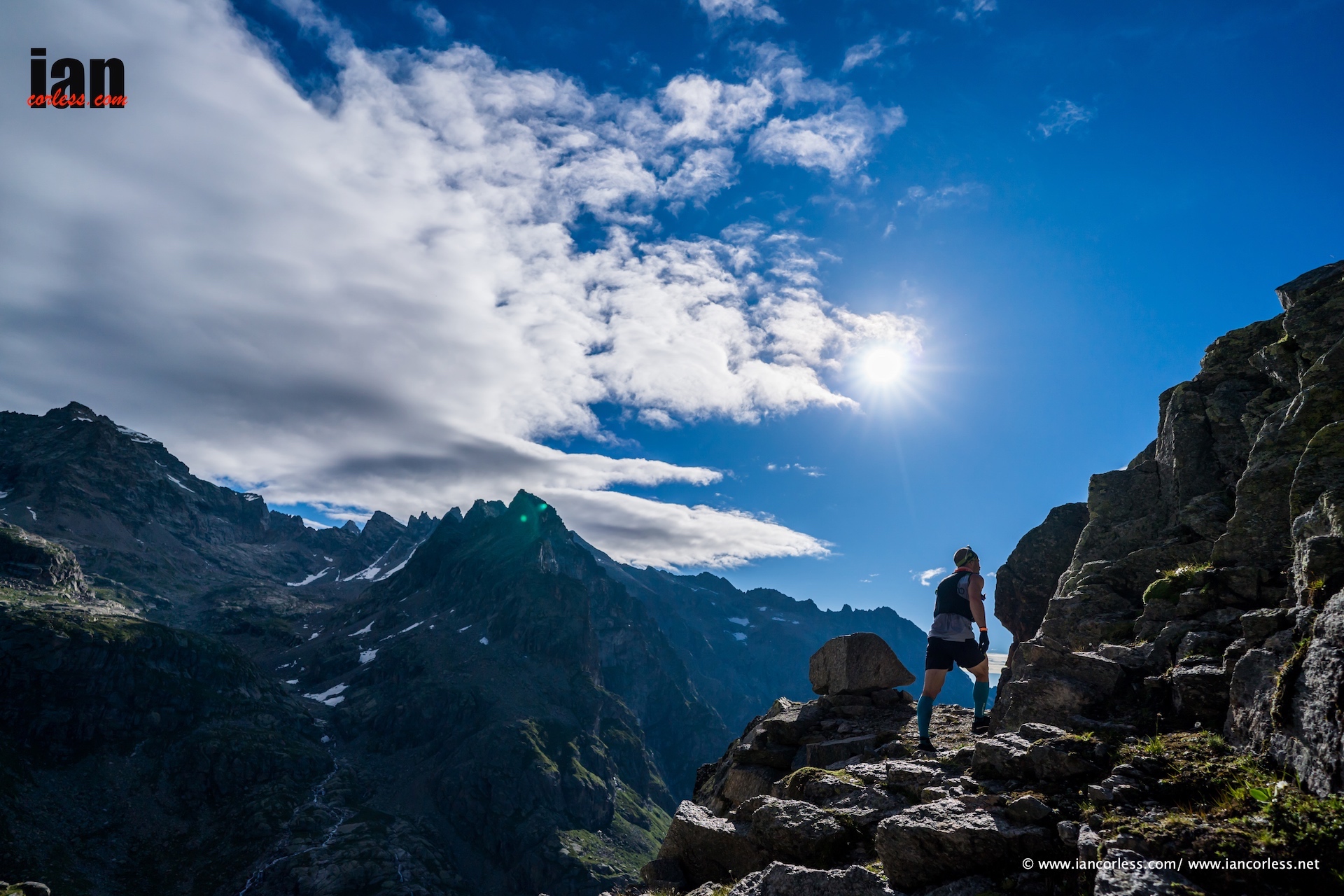
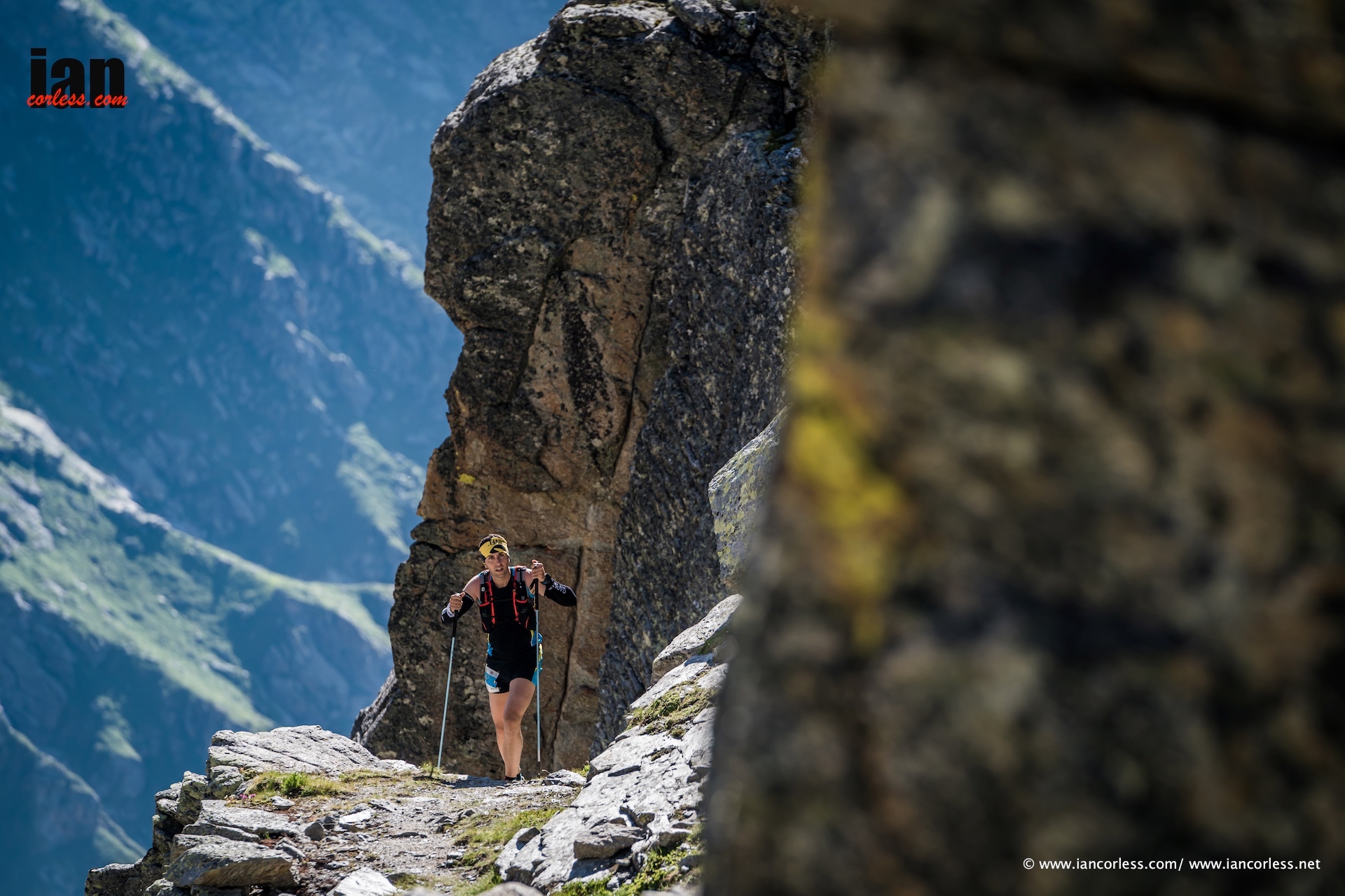
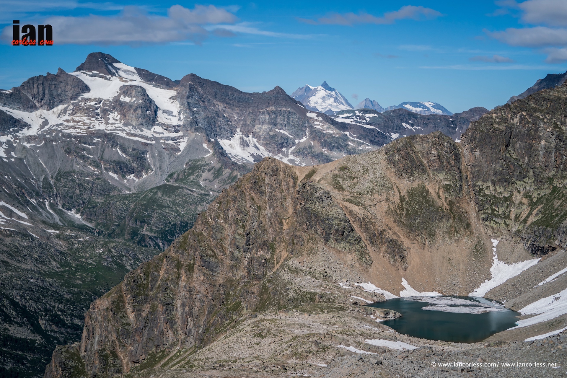
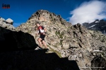
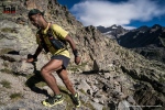
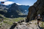
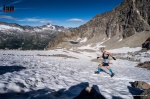
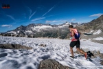
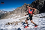
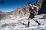
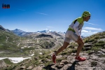
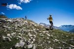
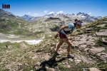
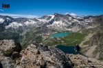
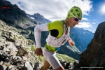
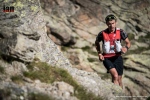
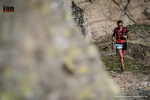
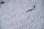
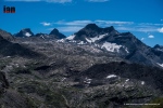
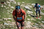
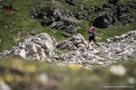
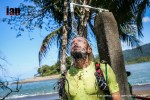
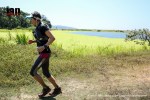
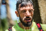
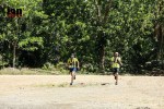
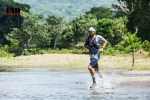
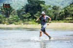
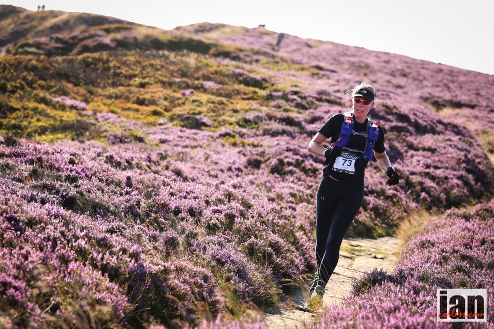
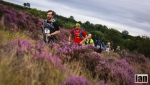
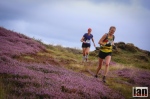
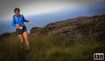
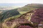
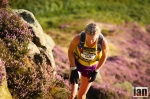
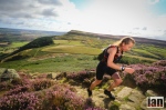
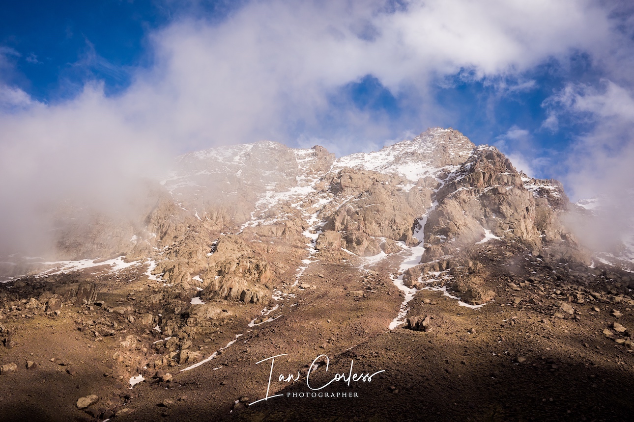
In summer, the trail is very dry and although not a technical climb, Toubkal does have a great deal of loose scree and rocks. With the addition of the demands of altitude, the climb can provide an excellent challenge for someone new to experiences like this. Or, experienced runners and climbers can use it as a form of training. The trail goes straight up often zig-zagging to ease the gradient. Once at the saddle, the trail goes left and right. Here you go left for a final push to the summit. On a clear day, the views are magnificent and if you time it correctly, the sunrise can be truly magical.

Importantly, be prepared for the cold. It may be 30-40 degrees in Marrakech but the summit can be very cold and windy. Make sure you have wind proof jacket/ trousers, warm layer, hat and gloves as a minimum.

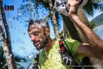
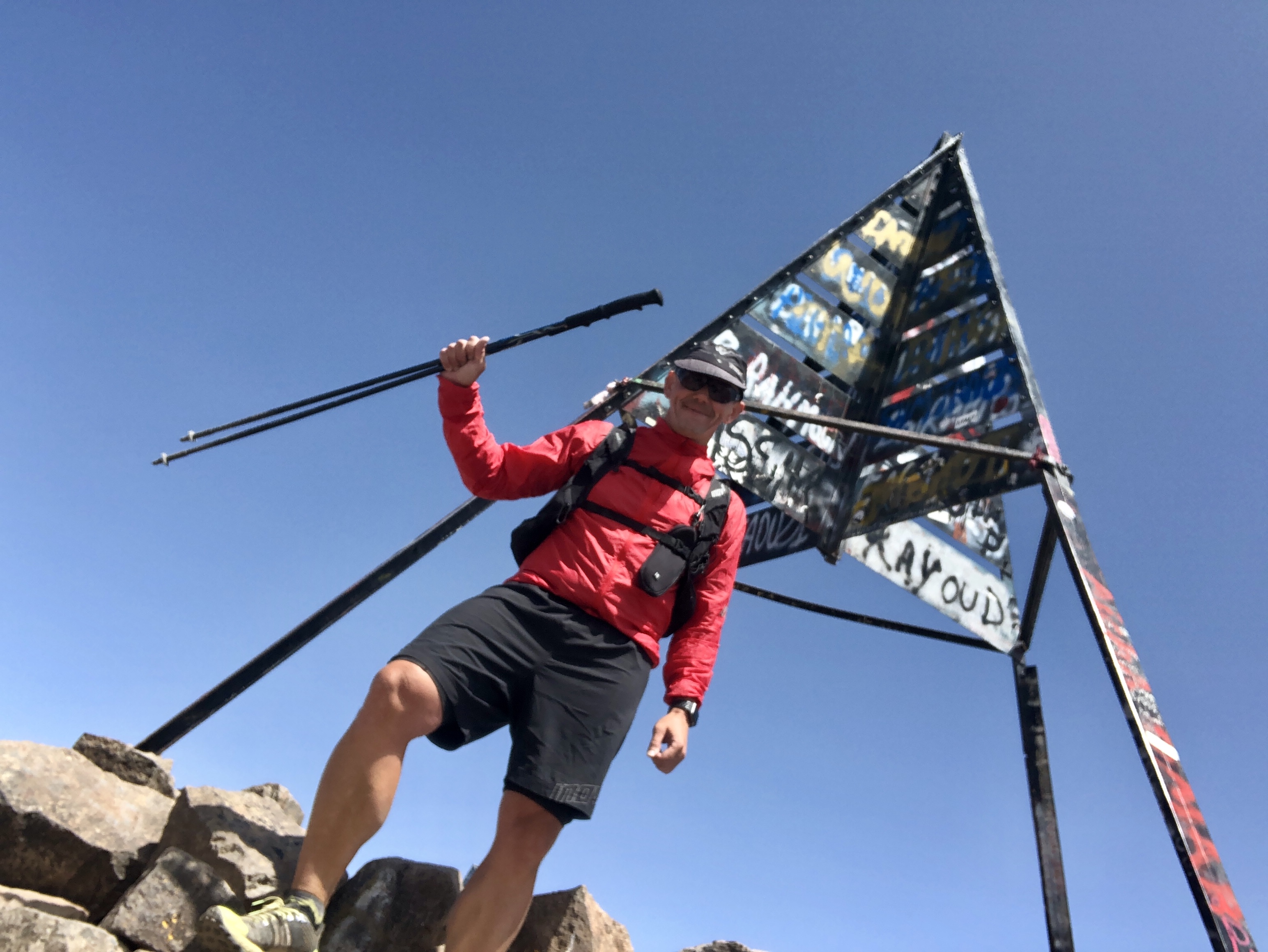
Most arrive at the summit between 0700 and 0900, you spend time soaking the views and taking photos and then return via the path you came. (There is another way down, more on that later!)

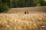
Descending becomes easier from an altitude perspective, with every meter you go down, the easier it will become to breathe. However, I think many find the descent harder and more challenging than the climb. This is due to the loose scree and rocky terrain. If experienced, one can drop from the summit to the refuge in 60-75 minutes. However, many eek their way down and falling/ slipping is a very real possibility. To clarify, there are no exposed ridges or real danger. It will just be a slip and a slide.

Once back at the refuge, many take a break for lunch and they will look to descend back to Imlil in the afternoon via the exact same route they went up the previous day. The out and back route is approximately 22 miles.

Once back in Imlil, it makes sense to book a local Riad, they are very inexpensive and serve great Tagine. The following morning you can arrange for a taxi/ car to collect you and you will be back in Marrakech for lunch.

OPTION TWO:

If you are experienced or want a challenge. Imlil-Toubkal-Imlil can be done in one day. I have done this twice now, once in Winter and once in Summer.

Most recently (August) I left Marrakech at 0530. I met my guide at 0700. We summited at midday and I was back in Imlil before 4pm in the afternoon. I had a car collect me and I was back in Marrakech before 7pm.

The above is not for everyone, but for me, it was an ideal opportunity to fit an action packed day between holiday days, before and after in Marrakech.

OPTION THREE:

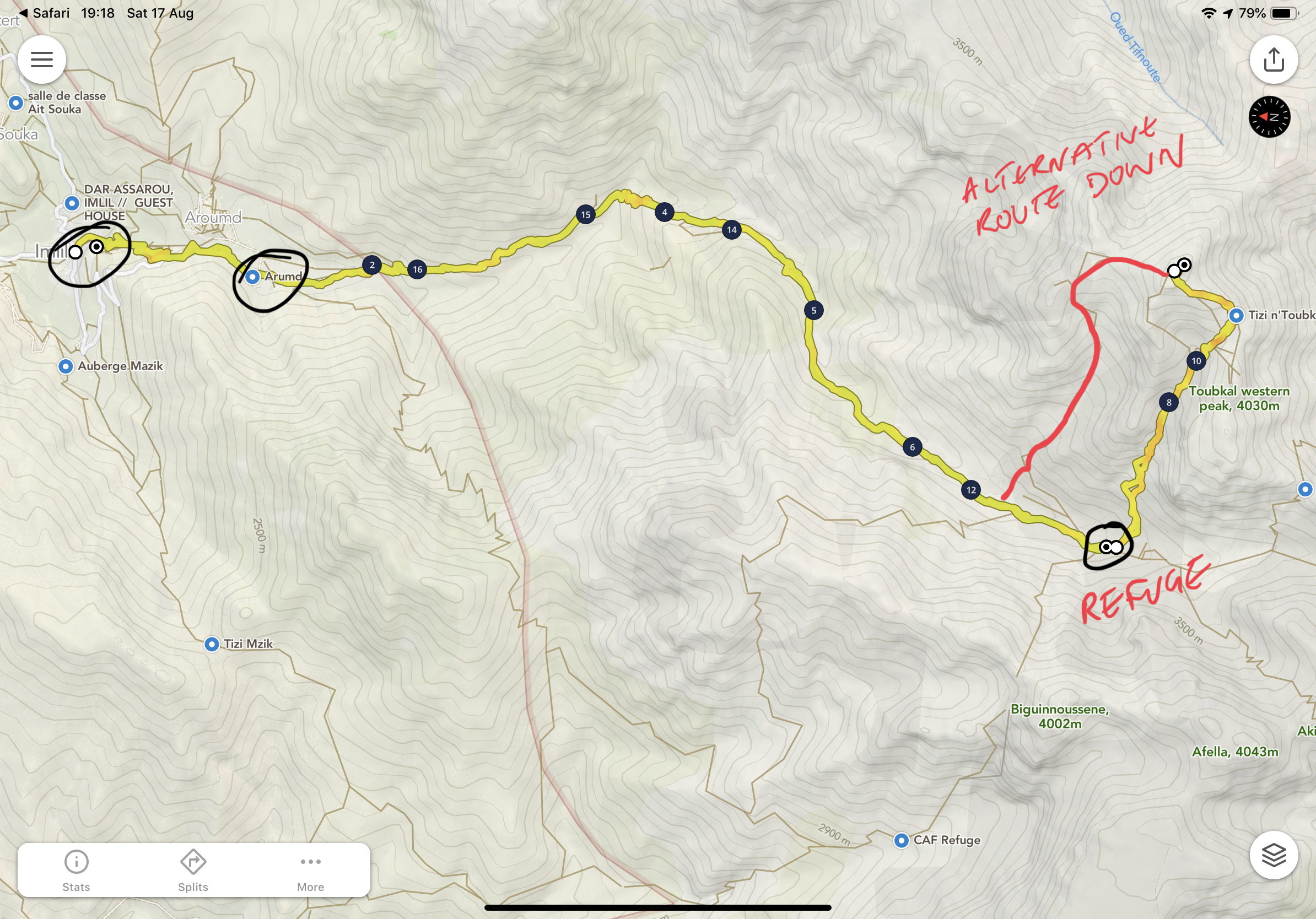
As option two, but from the summit it is possible to take another route down. This is a more challenging descent with some exposure, very loose scree and lots of technical rocks. In terms of distance, it is maybe a little less than the standard up and down route but it does offer more excitement! I took this route down on my first trip to Toubkal. It rejoins the path up to the refuge below Les Mouflons.

EQUIPMENT:

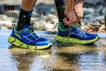
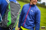
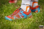
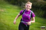
During the day, shorts and t-shirt is ideal for the climb to the refuge. Shoes should be good trail running shoes with toe protection. Hikers will probably use walking shoes, approach shoes or boots. I used VJ Sport MAXx shoes which were perfect on these trails. You will need a pack and in that pack a change of clothes, warm layers, a sleeping bag and the capacity to carry liquid and some snacks. Refuge to the summit and back can be cold and windy. Be prepared with a Primaloft warm layer, gloves, hat and wind proof pants and jacket. It is recommended to have waterproof (just in case!)

I think poles for most people are an essential item. They will considerably help on the climb up and on the descent, they will add a security blanket.

TIME OF YEAR:

August for me is perfect. Marrakech is hot but has less tourists. Expect 30-40 degrees during the day. Imlil to the refuge, temperatures will be somewhere between 15 degs at 0700 and 30 deg in the afternoon. May can still have snow, so, be careful.

BOOKING:

The refuge at Toubkal is a great place to liaise with in regard to booking. 

refugetoubkal@gmail.com  – Liaise with Hamid.

Refuge Tariffs:

34.5 euro per person per night full board ( Dinner, breakfast and lunch )

29.5 euro per person per night half board ( Dinner and breakfast  )

19.5 euros per person per night ( without meals )

The refuge can also arrange the following for you:

Transport from and back to Marrakech

Accommodation in Imlil

Mountain Guide – A guide will be approximately 80 euro per day and is payable in cash only.

IMLIL HOTEL:

The Riad Atlas Prestige is located on the climb out of Imlil. It’s cozy, provides an excellent service and the food is great. It also very inexpensive at typically 30 euros a night for 2-people.

The hotel is on booking.com or you can contact directly +212 666 494954

SAFETY:

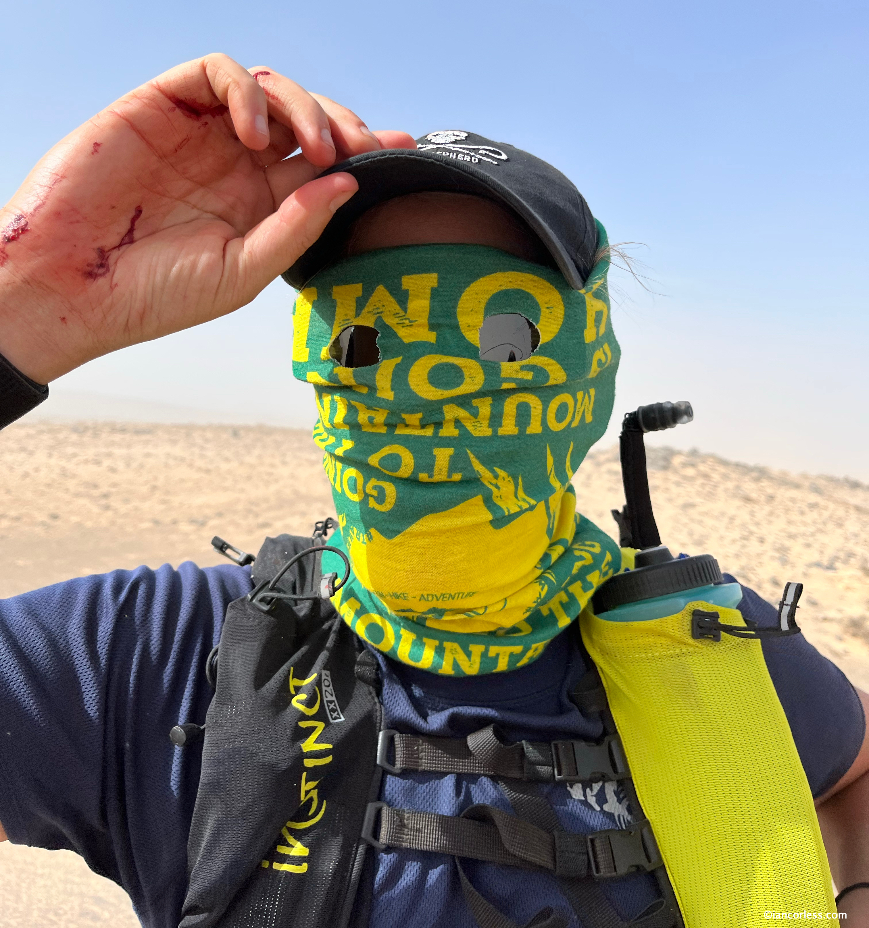
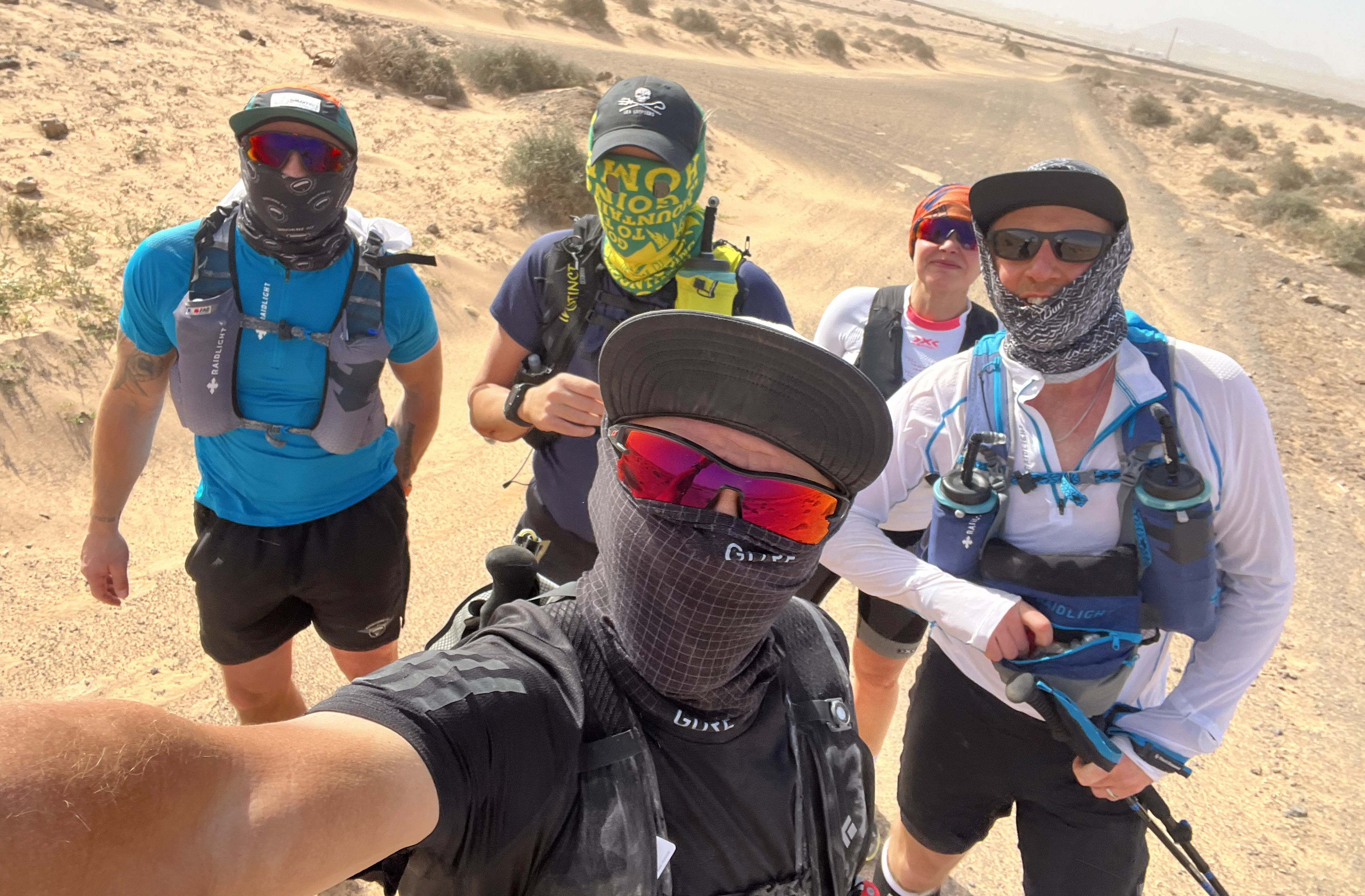
Morocco is safe. I have been travelling in different areas for over 7-years and I have always had a great time with wonderful experiences. Of course, there are cultural differences and as a tourist, it is we that must adapt. Women in particular should consider ‘covering up’ a little more, particular if running. But, in Marrakech, there are so many tourists that pretty much anything goes. Taking photographs, one should be careful. The locals really do not like it, and this I know from first hand experience.

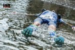
Unfortunately, in December 2018 two girls were murdered between Imlil and Toubkal and this created a stir worldwide and locally. Hence the need for a guide and three passport controls now. I cannot emphasise enough that this incident was a one-off and to clarify, I have been back to Morocco and Imlil twice since this incident and at no point was I worried.

CONCLUSION:

An active weekend away or part of a longer trip to Morocco, Imlil and Toubkal is a real adventure and is highly recommended. For example, it would be quite feasible to fly from the UK (for example) on a Friday and return on Monday having visited Imlil and summited Toubkal over the weekend.

For those with more time Imlil is also a great place for a longer stay. There are many trails to explore in the area and the place is a hidden gem.

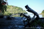
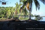
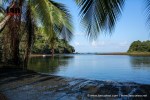
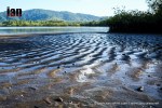
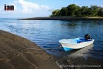
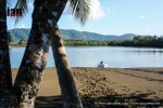
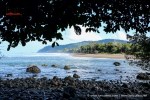
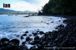
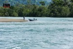
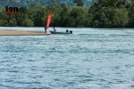
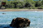
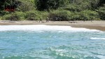
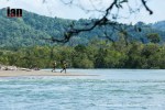
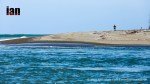
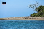
For those combining holiday and adventure, Imlil and Toubkal is a great active outlet amidst a more relaxed time in Marrakech. If you are planning to be in Morocco for longer than 7-days, also consider heading to the coast to visit Essaouira which is a 4-hour drive. It’s an old place with a very different feel to Marrakech. Of course, the options are only limited by your imagination and budget – it is also possible to go and stay overnight in the desert and have a bivouac experience.

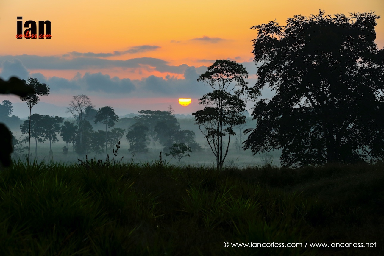
As destinations go, Morocco is a magical place.

Royal Ultra SkyMarathon® Gran Paradiso Race Summary and Images – 2017 Migu Run Skyrunner World Series

With a course profile that looks like a shark’s dental record and with 10-peaks to ascend and descend over a 55km course, the Migu Run Skyrunner World Series went EXTREME For the first time in 2017! 4287m of vertical gain awaited the runners in the stunning location of Ceresole Reale, Italy, a stunning mountain location towered over by the stunning 4000m peak of Gran Paradiso.

Starting at 0630, a stunning day of blue skies welcomed the runners, the early morning chill soon swept away with the arrival of the sun.

Andre Jonsson who last weekend placed 4th at High Trail Vanoise was showing incredible powers of recovery leading Zaid Ait Malek, Pere Aurell,  Bhim Gurung, Benat Marmisolle, The five ran together over the first high-peak in the National Park and the second peak coming at around 12km with 2-hours 15-minutes elapsed on the clock. They were separated by seconds matching each other’s moves.

By contrast, Zegama-Aizkorri and Livigno SkyMararhon champion Maite Maiora, was showing all the ladies a clean pair of heals. She took a grasp of the race very early on and despite being chased by Katie Schide, Ekaterina Mityaev and Natalia Tomasiak amongst other.

With 4-hours elapsed, the summit of Colle della Porta at 3002m saw a surge from Pere Aurell as he ran fast through the snow fields that followed the tough climb to the summit – Andre Jonsson, Bhim Gurung and Beat Marmisolle all followed with less than a minute separating them. Following and hoping to bridge the gap was Dimitry Mityaev, Zaid Ait Malek and Hector Haines.

Maite Maiora arrived in the same location, her lead was now extended beyond 30-minutes to Katie Schide and Ekaterina Mityaev following over 10-minutes back.

The race was now on in the men’s race, the quartet watching each other and at times changing lead like in a cycling peloton however Andre Jonsson was still pushing but the elastic wouldn’t snap. Passing Colle del Nivole they had a short decent and then climbed to Colle Della Rocca Bianche at 2670m. Again, less than a couple of minutes separated the four front runners but the long descent took its toll and with the final climb to Colle del Nel at 2551m to come, the pressure was on.

Andre Jonsson and Bhim Gurung took the lead but Jonsson started to feel the pressure and although Gurung complained of feeling tired, he unleashed his incredible descending ability on the final 1000m to drop to the line to open a huge gap and take victory just like he did earlier in the year in China at Yading Skyrace. Jonsson earned an incredible 2nd place 10-minutes back, 6:51:37 to Gurung’s 6:41:24. Pere Aurell fought cramps to finish 3rd and Benat Marmisolle held off a charging Cristofer Clemente to finish 4th.

Maite Maiora crossed the line in 8:05:28 having dominated the ladies’ race. It was a stunning victory and confirms her as one of the best female Skyrunners in the world. Katie Schide finished 2nd and Ekaterina Mityaev finished 3rd, 8:37:02 and 8:48:23 respectively.

The 55km course wound through the Gran Paradiso National Park in the royal hunting grounds, hence the ‘Royal’ title, runners will compete with ibex and chamois. Starting at a lake at an altitude of 2000m, participants traversed five passes – the magnificent Gran Paradiso mountain provided a stunning backdrop towering over the race at 4061m. Moraines, rocks, streams and snowfields provide an ultimate extreme challenge.

Next race in the Migu Run Skyrunner World Series is the Dolomites SkyRace that will celebrate its 20th edition – a pure Sky Classic!

all images ©iancorless.com

A full image gallery will be uploaded to iancorless.photoshelter.com HERE

The Coastal Challenge 2016 #TCC2016 – Stage 5 Results and Summary

©iancorless.com_TCC2016-1113

Images available for personal and commercial use HERE

Today was hot, very hot and very long! The longest stage of the 2016 The Coastal Challenge may well have been one of the most beautiful but 50km under the intense Costa Rican heat really did test every single runner int the race.

For the first time in the races’ 12-year history, the stage had an extra 4km. It doesn’t sound a great deal but at times it was technical and in addition, a new long beach section, a water crossing via boat and a stunning wooden rope bridge added to the days attractions.

©iancorless.com_TCC2016-5157

The cool temperatures from the 0530 start soon disappeared and the intense, uncompromising heat arrived to punish the runners, the only consolation coming at the end with the stunning Drake Bay.

©iancorless.com_TCC2016-6430

Chema Martinez finally found his Costa Rican legs and ran the stage side-by-side with race leader, Iain Don-Wauchope. They looked to be cruising on what was a very tough day. Don-Wauchope having run and won TCC in 2015 could appreciate the new course:

“The new additions are really stunning, no fantastic. But they are tough and challenging. The beach section was extremely tough due to the high tide. We had to run the tree line which made it difficult. But it’s a beautiful new addition to the race.” – Iain Don-Wauchope.

Crossing the sea to river inlet by boat, Both Martinez and Don-Wauchope took an extended break to cool off and then finished off the stage in style by cruising to the line together.Gonzalo Callisto finished 3rd and secured his 2nd overall.

©iancorless.com_TCC2016-5662

It was a similar story in the ladies race however it was less planned. Ladies race leader Ester Alves took the lead relatively early on and at one point had extended her lead to approximately 30-minutes. A couple of navigation errors reduced this to just 1-minute in the latter stages of the race and with just 8km to go, Elisabet Barnes and Alves ran together to the line.

©iancorless.com_TCC2016-1158

“It was the correct thing to do,” Alves said after the race. “There was nothing left to race for in the final km’s and I enjoyed the time talking with Elisabet.”

It was a sentiment echoed by Elisabet Barnes:

“I was feeling very rough this morning with a very dodgy tummy and took me 20km’s to feel good. Ester pulled away and there was nothing I could do. I eventually caught her but we once again entered a very technical section and she once again pulled away. We finally came together again after the rope bridge with 8km to go, running together was a pleasure after a great battle. Today was beautiful but so hot!”

The race concludes tomorrow with what will be a victory lap of Drake Bay and the National Park. The 2016 TCC has been an incredible race; very tough but many will remember it because of the intense heat.

The overall standing in the ladies’s race are now:

  1. Ester Alves 7:42:49
  2. Elisabet Barnes 17:42:49
  3. Tbc

Full ladies’s results HERE

The overall standings in the men’s race are now:

  1. Iain Don-Wauchope 5:4130
  2. Chema Martinez 5:41:30
  3. Gonzalo Calisto 5:52:16

Full men’s results HERE

Stage 6 is a wonderful looped lap of drake Bay – a victory lap.

Full race results HERE

©iancorless.com_TCC2016-1196

©iancorless.com_TCC2016-0831

©iancorless.com_TCC2016-5593

©iancorless.com_TCC2016-5743

©iancorless.com_TCC2016-5909

©iancorless.com_TCC2016-5994

Berghaus Trail Chase 2014 – Summary and Images

Berghaus Trail Chase Logo

The inaugural Berghaus Trail Chase took place at the weekend in the North York Moors National Park. Organised by Shane Ohly and the team from Ourea Events, this race offered a unique format that was suitable for all abilities and experience.

Three courses: Black (white flags), Red and Blue offered three distances of varying difficulty over 2-days on way marked courses.

©iancorless.com_IMG_2444BerghausTrailChase_2014_


A full set of race images are available to view HERE

The event HQ was located in Thinmbleby, Osmotherley. This location provided a hub for runners to assemble, register and prepare and then on the stroke of midday buses arrived to transfer runners to three different starts.

Using ski piste colour coding, runners participating in the black route would run 32.8km with 1012m elevation on day-1 and then 21.3km (814m+) on day-2.

The red route covered 25.3km (801m+) and 17.4km (582m+)

And the blue route provided an entry level race that could appeal to all abilities covering 16.6km (326m+) on day-1 and 10.1km (291m+) on day-2.

Logistically, all races on day-1 would finish at the same campsite in Chop Gate and then on the following day, black and red races would start from the overnight stop and the blue runners would be transferred to Locker Wood for the shorter last day. As one would expect, all races finished at the race HQ in Osmotherley.

©iancorless.com_IMG_2189BerghausTrailChase_2014_Vibrant heather, lush green fields, dense bracken and rugged trails along with lush green forests and bridle paths provided a stunning backdrop to all 3-races. Despite heavy rain during the overnight camp, the weather gods played ball providing everyone with a couple of excellent days running. Add to this live music, flowing beer and some excellent food in the Chop Gate village hall and Ohly and the Ourea team have the makings of a great event.

©iancorless.com_IMG_6554BerghausTrailChase_2014_


Day-1 for all three races started as one would expect with mass starts for each respective race. The sting in the tail and the unique nature of this event became clear on day-2 when the CHASE began. Starting in finishing order of day-1, runners would leave in order with exact time gaps adhered to. The objective? Catch the runner in front and you gain a place. It brings a whole new meaning to running scared and the cat and mouse scenario adds a real element of excitement to the event.

©iancorless.com_IMG_2161BerghausTrailChase_2014_

Post race, not only had the Berghaus Trail Chase race format provided a challenging experience for each and every participant but it had also been fun! The atmosphere was very relaxed and the whole experience had been a real positive.

Of course, racing did take place over the 2-days and some hard fought battles were run out on the trails of the North York Moors. However, it very much felt that racing was secondary to fun and enjoying the moment.

The Berghaus Trail Chase will be back in 2015. Bigger, better and I can only hope that Ohly books some great weather once again. I for one will be back.

RESULTS:

Black

  1. Duncan Archer 4:36:54
  2. Charlie Sharpe 4:47:42
  3. Steve Coates 5:07:34
  1. Stephanie Kitchen 6:06:32
  2. Michelle Hetherington 6:07:42
  3. Sam Scott 6:23:34

Full BLACK results HERE

Red

  1. Simon Jones 3:47:51
  2. Madeleine Robinson 3:56:43
  3. Alistair Nash 3:57:29

Full RED results HERE

Blue

  1. Christian McGill 2:32:25
  2. Peter Downes 2:33:22
  3. Martin Done 2:35:31

Full BLUE results HERE


A full set of race images are available to view HERE

Race website HERE

Final results HERE

A full set of race images are available to view HERE


Caldera de Taburiente – La Palma

iancorless.comP1040463

An easy day should surely be followed with a longer day right? Good! Niandi and myself did follow the ‘Los Llanos‘ experience with a wonderful 7 hours on the trails of the LP13 in the National Park of the Caldera de Taburiente. What a day!

I had read about the PRLP13 being a super hard hike (Here) and how we could take a Taxi to Los Brecitos…. nonsense! If you are going to do it, then do it! That’s all part of the fun.

iancorless.comP1040402


We started the trail at 0900 in the valley and had decided on an anti-clockwise direction going through the Barranco de las Angustias ravine which is all about boulder and rock hopping, crossing the river multiple times and some scrambling. It’s mostly slow going and if you are not technically proficient you do need to take care. (NOTE: If you plan to do this you must check that no heavy rain has happened in the previous 24/48 hours or more importantly that any is due for your own excursion. The water level rises very quickly).

Niandi is not the best at this really technical stuff but she embraced it, smiled and bounced from rock to rock when she could. Hats off to her… she very rarely says ‘I can’t’. She takes a breath and gets on with it; respect!

iancorless.comP1040395


As we have grown to accept with La Palma the terrain changes constantly. Running through the ravine we would then climb and drop back down. Sometime we could run, others we would scramble. I loved it. It would make a great race route but only for the proficient… moving over this terrain at any speed requires real skill.

iancorless.comP1040366

Finally arriving at the end of the ravine a dam was in front of us. The water here changed colour to incredible oranges from iron discolouration. We moved to the left and moved onwards and upwards finally joining incredible single track. We had gone from rocky ravines to pine forests.

iancorless.comP1040440

The Roque de Idafe like some huge rock finger pointing to the sky in front of us. We now started to climb up and up. Although this was running terrain the gradient means sometimes you jog, sometimes you hike, No worries. All part of the fun.

iancorless.comP1040493


Niandi loved this section of the LP13. It was beautiful and inspirational. The sune had now moved up high into the sky and warmed our backs. We finally arrived at our turning point at the end of the valley. Here is a Tourist information centre and campsite. From here you can go on several different routes. Some are out and backs, others circular routes.

iancorless.comP1040544


We had a picnic lunch and then followed the signs to Los Brecitos. We now had the opportunity to pretty much run and power hike this whole section. Narrow single track made soft and bouncy by fallen pine needles… a carpet like feel under our feet. Niandi smiled and bounced her way down the trail. Such a contrast to the way out down the ravine. It is what makes running here in La Palma so special.

Ian_Snapseed


From Los Brecitos we had a small section of road and then we dropped back down the trail to our start point in the valley.

You don’t measure these runs via distance. It means nothing. To be honest we are not even running much of the time. It’s about time on feet and experiences and today was one of those days on the trail that you don’t forget.

You can see a selection of images HERE

In the evening we went and had Cerveza, Pizza and then sat outside at Cafe Eden being entertained by a local band playing Dire Straits, The Rolling Stones and so on… we both could get used to this!