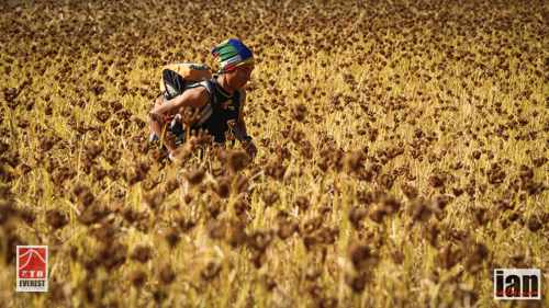
RACE SUMMARY HERE
Results top-3 for stage 1
- Samir Temsang 2:30:01
- Phudorje Lama Sherpa 2:30:39
- Zigor Iturrieta 2:56:46
- Anna Comet 3:16:16
- Kerry Sutton 3:36:35
- Yangdi Lama Sherpa 3:56:33

RACE SUMMARY HERE
Results top-3 for stage 1








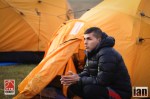



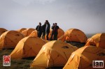

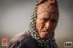
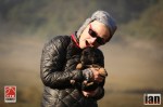

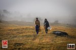
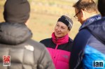





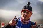
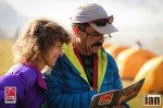


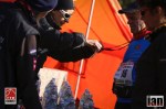


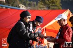





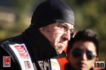

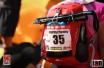


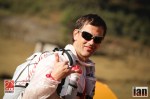


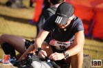

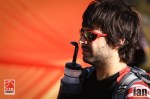

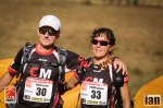
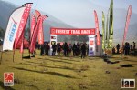
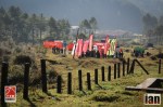







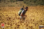
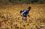


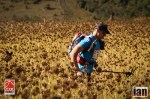


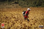






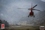
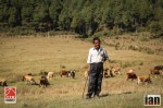
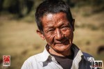
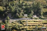
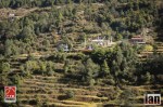
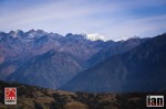
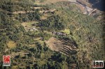

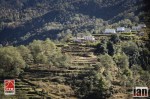
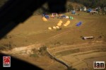




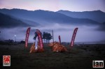
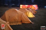

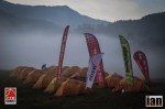

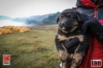
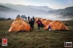














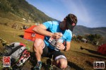









Day 2 #ETR2014
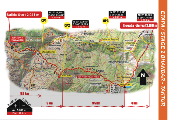
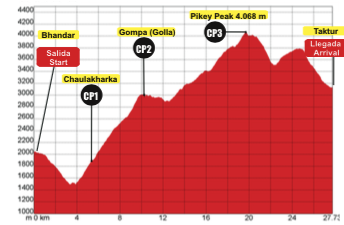
Day 2 of the Everest Trail Race is the toughest of the race: fact! It’s a brutal exercise in climbing and one that takes place at attitude stretching each and every participant to the limit.
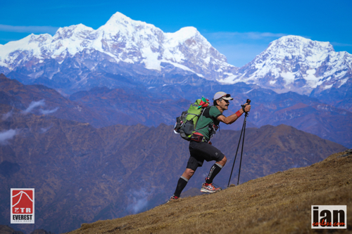
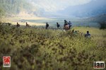
Starting in Bhandar runners have the pleasure of running downhill along some twisting and technical trail before crossing a suspension bridge that stretches over Kinja Khola River. What follows is a lung busting and leg-sapping climb to Golla at just over 3000m. A little respite and then climbing starts again firstly to Ngaur and then onward to the highest point of the ETR; Pikey Peak at 4063m. From the summit at Pikey Peak an amazing Himalayan vista awaited but the runners had to work for it… really work for it! Dropping down a tough technical descent for several kilometres, a tough short climb is the sting in the tail to the arrival at Jase Bhanjyang at 3600m.
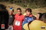
As one would expect Nepalese runners Samir Temsang and Phudorje Lama Sherpa set the pace for today. To be honest, they have a huge natural advantage on this high altitude terrain and they put this to great use. One again they ran together all day and in a repeat of day-1, Samir opened up just a short gap in the final meters to take the stage win and a slender lead overall. Zigor Iturrieta ran a stronger race today and looked in his element on the tough terrain. At the summit of Pikey Peak he laughed and joked and ran away sprinting… he may just get better as each day passes?
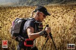
The ladies race was a repeat of day-1 with Anna Comet running strong and controlled from the front. Poles in hand, Anna powered her way up Pikey Peak with a huge smile and after the technical descent crossed the finish line with a repeat stage win. Kerry Sutton from the UK performed exceptionally well at altitude and produced a strong consistent performance to consolidate her 2nd-overall. Yangdi Lama Sherpa finished 3rd but says that she isn’t feeling too great at the moment. These things happen in multi-day racing and as we all know, anything can happen!
It was a tough day with many runners coming close to the cut-off time. Officially we only have one runner not making the cut-off and although he will be allowed to continue (if he feels he can) he will be withdrawn from the overall classification.
As camp settles to what will be a cold night under canvas (-12) ladies race leader Anna Comet has been sick and so we have some question marks for day-3.
Results top-3
Day 3 Jase Bhanjyang – Karikola
is 37.4km and for a change has more descending (4110m) than ascending (2512m).
Starting in Jase Bhanjyang runners will pass through Jumbesi, Phurteng, Salung, Taksindu and then from Jubhing the race finishes with a tough climb to the stunning monastery at Kharikola.
Day 1 #ETR2014
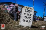
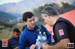
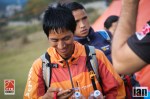
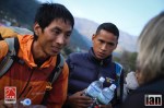
The Everest Trail Race (ETR) 2014 started today at the stroke of 0900 in the small Nepalese town of Jiri.
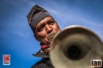
Low mist but a relatively mild night afforded everyone a comfortable nights rest before the action started. The sound of horns and a local group of musicians enticed the runners on to the trails for what will be a life-changing journey.
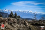
The Himalayas are beyond beautiful and impressive… it’s almost difficult to find the words and although stage-1 for the ETR doesn’t reach the high mountains or break the tree line, the day is impressive non the less.
Phudorje Lama Sherpa set the early pace but was soon joined by fellow Nepal teammate, Samir Temsang. The two seemed to work together throughout the stage and slowly but surely they stretched the elastic over experienced Spanish ultra runner, Zigor Iturrieta. Temsang in the latter stages opened up a small lead and finished just ahead of Phudorje by 38-seconds. Zigor however was 26-minutes back after the challenging first day of just 21.5km and 3700m+/- of elevation.
Anna Comet started the ladies race from the front and looked impressive throughout the day. She continued to open up a convincing lead of British entrant, Kerry Sutton who finished just over 20-minutes back. 2013 second place, Yangdi Lama Sherpa finished 3rd a further 20-minutes behind Kerry.
It’s only day-1 and a very tough stage lies ahead for day with some tough climbing to the highest point of the race. The top-3 runners in both the ladies and men’s fields are only separated by 30-miutes so a tough day of running lies ahead.
Results top-3
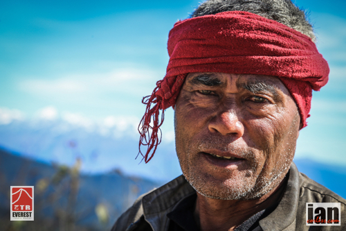
Departing in five 16-seater mini buses, participants of the Everest Trail Race made the long, twisty and at times stressful journey from Kathmandu to Jiri for the start of the 2014 edition. It’s a rollercoaster journey up single -rack roads, a frenetic and constant beeping of horns and a multitude of bends that would leave the most hardened rollercoaster freak with a turning tummy.
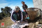
Our lunch stop at Karidunga was a welcome break from the journey. While runners found a space and enjoyed the view of the Himalayas, off into the distance I walked looking for some local colour. You never have to go far, Ladies working in fields, men weaving basket wear and children playing; all have wonderful smiles.
They seem to embrace tourists and actually seem to enjoy the process of having a photo taken. Off course it’s all the more appealing if they receive a ‘token’ for their efforts…
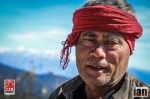
Weathered faces show the lines from years of toil from harvesting crops. Children have round faces, wonderful colour and piercing eyes and a cheeky smile. In all honesty, I could photograph these people all day. They fascinate me.
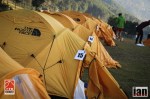
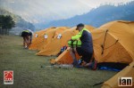
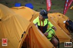
Back on the buss the toing and froing continued and finally our arrival at Jiri came. We had been on the road 8-hours and the glow of our yellow TNF tents glowing as the day began to loose its light was more than a welcome sight.
Water collection, tent allocation and final preparations underway for tomorrows race day. A mug of hot tea warms as the departing of the sun takes the heat away and the temperature slowly drops… little by little venturing to zero and then suddenly it drops below. ‘Don’t worry’ Pasang Sherpa says, ‘it will only be -3 tonight.’
Day 1 commences at 0900 Thursday 13th November.
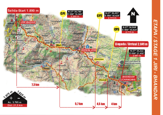
Jiri (1850m) to Bhandar (2050m) – 21.5km 3795m+
The stage has two summits, one at 2400m and the high point of the day at Deurali Pass 2700m before descending to the finish at Bhandar.
Day 2 Preview:








































This is episode 73 of Talk Ultra and on this weeks show we speak with Skyrunner World Series Champ and Mourne Skyline winner, Stevie Kremer. Kim Collison tells us all about his running and his great 2014 season. Landie Greyling discusses running in South Africa and the up and coming Salomon SkyRun. In Talk Training it is episode 3 of our navigation special with Charlie Sproson, the News, a Blog, Up & Coming races and Speedgoat Karl talks busting quads.
NEWS
Mourne Skyline MTR
INTERVIEW with Kim Collison
Raid de la Reunion
Templiers
Benoit Cori 6:36:49
Sylvain Court 6:39:15
Alex Nichols 6:43:14
Sage Canaday 6:45:00
Zach Miller 6:51:01
Nuria Picas 7:51:46
Juliette Benedicto 8:00:33
Magdalena Boulet 8:02:40
Maud Gobert 8:20:18
Aliza Lapierre 8:20:35
Holly Rush 6th
BLOG
#GirlwhatCycles Niandi Carmont tells us all about her new journey in #CyclingforRunners @girlwhatcycles – HERE
INTERVIEW
Stevie Kremer
INTERVIEW
Landie Greyling
GOOD, BAD & UGLY
TALK TRAINING – Navigation part 3 with Charlie Sproson
UP & COMING RACES
Antartica
Last Desert (Antarctica) | 250 kilometers | November 01, 2014 | website
Argentina
Puna Inca Trail | 200 kilometers | November 04, 2014 | website
Australia
New South Wales
Carcoar Cup Ultra Marathon | 60 kilometers | November 02, 2014 | website
Queensland
Blackall 100 | 100 kilometers | November 08, 2014 | website
Blackall 100 – 50 km | 50 kilometers | November 08, 2014 | website
Run to Paradise Ultra Marathon | 74 kilometers | November 09, 2014 | website
Brazil
60k Aceguá a Melo | 60 kilometers | November 09, 2014 | website
Estonia
Haanja Jala100 – 100 km | 100 kilometers | November 01, 2014 | website
France
Aveyron
Trail des Hospitaliers | 75 kilometers | November 02, 2014 | website
Marne
SPARNATRAIL classique | 55 kilometers | November 09, 2014 | website
Germany
North Rhine-Westphalia
Bottroper Herbstwaldlauf – 50 km | 50 kilometers | November 02, 2014 | website
Hong-Kong
Oxfam Trailwalker Hong Kong | 100 kilometers | November 14, 2014 | website
Salomon LT 70 | 70 kilometers | November 01, 2014 | website
India
Bangalore Ultra Marathon – 100 km | 100 kilometers | November 08, 2014 | website
Bangalore Ultra Marathon – 50 km | 50 kilometers | November 08, 2014 | website
Bangalore Ultra Marathon – 75 km | 75 kilometers | November 08, 2014 | website
Himalayan 100 Mile Stage Race | 100 miles | October 31, 2014 | website
Italy
Tuscany
Eroica Running Ultramaratona | 65 kilometers | November 02, 2014 | website
Jordan
Jordan Running Adventure Race – 190 km | 190 kilometers | November 02, 2014 | website
Jordan Running Adventure Race – 70 km | 70 kilometers | November 03, 2014 | website
Morocco
Trans 333 | 333 kilometers | October 31, 2014 | website
Ultra Runners Race 777+++ | 777 kilometers | October 31, 2014 | website
Namibia
100 km of Kalahari | 100 kilometers | November 08, 2014 | website
Desert Ultra | 250 kilometers | November 14, 2014 | website
Nepal
Everest Trail Race | 160 kilometers | November 09, 2014 | website
Manaslu Trail Race | 212 kilometers | November 11, 2014 | website
NEPAL Action Asia 3 day ultra 100km | 100 kilometers | November 01, 2014 | website
Nepal Action Asia Ultra 3 day marathon 60k | 60 kilometers | November 01, 2014 | website
Solukhumbu Trail | 289 kilometers | October 31, 2014 | website
New Zealand
Queen Charlotte Ultramarathon / Relay | 71 kilometers | November 08, 2014 | website
Taranaki Steelformers 100 mile Around the mountain Solo | 100 miles | November 07, 2014 | website
Taranaki Steelformers 150 km Around the mountain Running and Walking Relay | 150 kilometers | November 08, 2014 | website
The Taniwha – 60 km | 60 kilometers | November 08, 2014 | website
Oman
Oman Desert Marathon | 165 kilometers | November 07, 2014 | website
Spain
Valencian Community
Mondúber Utrail | 80 kilometers | November 08, 2014 | website
Thailand
Zulu W 80 km Run | 80 kilometers | November 02, 2014 | website
United Kingdom
Kirklees
White Rose Ultra 60 Mile | 60 miles | November 02, 2014 | website
Northamptonshire
XNRG Druid Challenge | 84 miles | November 07, 2014 | website
Uruguay
ULTRA Maratón Altas Cumbres Serranas 100K Ultra | 100 kilometers | November 01, 2014 | website
ULTRA Maratón Altas Cumbres Serranas 60K Ultra | 60 kilometers | November 01, 2014 | website
USA
Alabama
Pinhoti 100 | 100 miles | November 01, 2014 | website
Arizona
Javelina Jundred 100 Mile Endurance Run | 100 miles | November 01, 2014 | website
California
Almaden Hills 50K Run | 50 kilometers | November 01, 2014 | website
Chino Hills Spring Trail Series 50K | 50 kilometers | November 08, 2014 | website
CTR Lake Chabot Train Run 50 km (Nov) | 50 kilometers | November 08, 2014 | website
Dirty Dare Trail Run 50 km | 50 kilometers | November 01, 2014 | website
Rio Del Lago 100K | 100 kilometers | November 08, 2014 | website
Rio Del Lago 100M | 100 miles | November 08, 2014 | website
Rio Del Lago 50K | 50 kilometers | November 08, 2014 | website
Two Cities Ultra Marathon | 50 kilometers | November 02, 2014 | website
Georgia
Georgia Sky to Summit 50k | 50 kilometers | November 08, 2014 | website
Illinois
Chicago Lakefront 50K | 50 kilometers | November 01, 2014 | website
Indiana
Owen Putnam State Forest 50K | 50 kilometers | November 08, 2014 | website
Owen Putnam State Forest 50 Miles | 50 miles | November 08, 2014 | website
Maryland
Rosaryville Veteran’s Day 50k | 50 kilometers | November 08, 2014 | website
Massachusetts
Stone Cat 50 Mile | 50 miles | November 08, 2014 | website
Missouri
Ozark Trail 100 Mile Endurance Run | 100 miles | November 01, 2014 | website
Nevada
Bootlegger 50K | 50 kilometers | November 08, 2014 | website
Coyote Springs 100K Trail Run | 100 kilometers | November 01, 2014 | website
Coyote Springs 100M Trail Run | 100 miles | November 01, 2014 | website
Coyote Springs 50K Trail Run | 50 kilometers | November 01, 2014 | website
Coyote Springs 50M Trail Run | 50 miles | November 01, 2014 | website
Ragnar Relay Las Vegas | 195 miles | November 07, 2014 | website
New Hampshire
Ghost Train Ultra Race 100M | 100 miles | November 01, 2014 | website
Ghost Train Ultra Race 45M | 45 miles | November 01, 2014 | website
Ghost Train Ultra Race 60M | 60 miles | November 01, 2014 | website
Ghost Train Ultra Race 75M | 75 miles | November 01, 2014 | website
Ghost Train Ultra Race 90M | 90 miles | November 01, 2014 | website
New Jersey
NJ Trail Series One Day – 50K | 50 kilometers | November 08, 2014 | website
New York
Mendon 50K Trail Run | 50 kilometers | November 01, 2014 | website
Oklahoma
Turkey & Taturs 50K Trail Race | 50 kilometers | November 02, 2014 | website
Oregon
Silver Falls 50K Ultra Trail Run | 50 kilometers | November 01, 2014 | website
Tennessee
Nashville Ultra Marathon 50 K Race | 50 kilometers | November 01, 2014 | website
Nashville Ultra Marathon 50 Mile Race | 50 miles | November 01, 2014 | website
Nashville Ultra Marathon 60 K Race | 60 kilometers | November 01, 2014 | website
Nashville Ultra Marathon 70 K Race | 70 kilometers | November 01, 2014 | website
Upchuck 50K Trail Running Race | 50 kilometers | November 08, 2014 | website
Virginia
Mountain Masochist Trail Run | 50 miles | November 01, 2014 | website
Paris Mountain 50 Mile Ultra | 50 miles | November 08, 2014 | website
Washington
First Call 50K | 50 kilometers | November 08, 2014 | website
First Call Veterans Day 50K | 50 kilometers | November 08, 2014 | website
CLOSE
http://traffic.libsyn.com/talkultra/Episode_73_Kremer_Collison_Greyling.mp3
ITunes http://itunes.apple.com/gb/podcast/talk-ultra/id497318073
Libsyn – feed://talkultra.libsyn.com/rss
Website – talkultra.com

This is a second article in a trio of interviews with Ian Corless, about Navigation for Ultra Runners & more. Read article one HERE
all content ©mountainrun
In the first interview we covered the Basics of Navigation, this encompassed maps, compasses, setting your map & how to set a bearing.
The second interview was moving into intermediate navigation & it consisted of the following information & techniques:
So lets start with:
1) Magnetic Declination or Magnetic Variation:
There are 3 points at which north is seen. 1) True North, 2) Grid North & 3) Magnetic North. We are concerned with Grid North & Magnetic North.
Grid North is what is detailed on a map, its where the North/South grid lines show us the direction of north, according to the grid lines printed on the map. This is almost the same as True North, so we will group True North & Grid North the same. These are fixed points & do not move.
Magnetic North is what your compass needle points towards, being magnetised & this is not a fixed point, it moves over time. Magnetic North is explained as so:
“The North Magnetic Pole is the point on the surface of Earth‘s Northern Hemisphere at which the planet’s magnetic field points vertically downwards (in other words, if a magnetic compass needle is allowed to rotate about a horizontal axis, it will point straight down). There is only one location where this occurs, near (but distinct from) the Geographic North Pole and the Geomagnetic North Pole.
The North Magnetic Pole moves over time due to magnetic changes in the Earth’s core.[1] In 2001, it was determined by the Geological Survey of Canada to lie near Ellesmere Island in northern Canada at 81.3°N 110.8°W. It was situated at 83.1°N 117.8°W in 2005. In 2009, while still situated within the Canadian Arctic territorial claim at 84.9°N 131.0°W,[2] it was moving toward Russia at between 34 and 37 miles (55 and 60 km) per year.[3] As of 2012, the pole is projected to have moved beyond the Canadian Arctic territorial claim to 85.9°N 147.0°W.[2]“
Because we have a variance between True North & Magnetic North, we therefore need to use something called the Magnetic Variation. This is described as follows:
“Magnetic declination or variation is the angle on the horizontal plane between magnetic north (the direction the north end of a compass needle points, corresponding to the direction of the Earth’s magnetic field lines) and true north (the direction along a meridian towards the geographic North Pole). This angle varies depending on position on the Earth’s surface, and changes over time.”
It is also explained more formally, Bowditch defines variation as “the angle between the magnetic and geographic meridians at any place, expressed in degrees and minutes east or west to indicate the direction of magnetic north from true north. The angle between magnetic and grid meridians is called grid magnetic angle, grid variation.
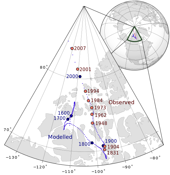
Depending on which country you reside in will then depend on what the Magnetic Variation actually is. For example, if you live in the UK then the Magnetic North is 1.5 degree’s at the start of 2014 west of True North. The reason it is west is that we sit to the east of the Agonic Line or line of Zero Declination where Mag North & True North are the same. There are several points where this occurs around the world. Its a bit technical, but all you need to remember is that the Mag Variation is printed on all maps in the UK to advise what the Mag Variation is at what ever year the map was printed.
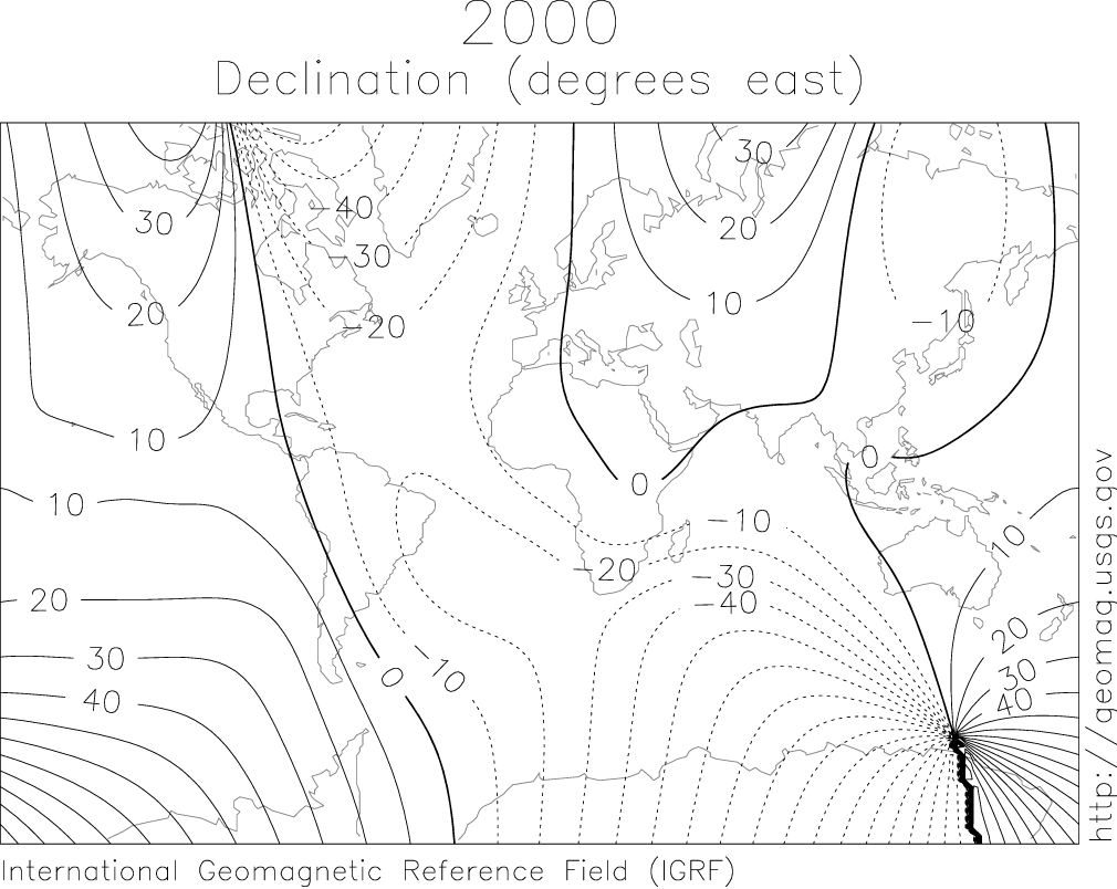
In order to correct your bearing to take into account the Mag Variation, you must adjust the compass 1.5 degrees east of the bearing you have taken, or more easily remembered, add 1.5 degrees on to your compass bearing you have just taken from the map. To make life even more confusing, the Mag Variation in 2015 is 0, therefore Mag Variation need not be corrected for that year, so it is almost not worth making this correction for the next year & certainly if your navigation is broken down into small legs. It really only comes into play right now, if you are travelling over large expanses of land, without any catching features, hand rails etc.
Transversely, if you are using the Mag Variation, remember when making a sighted bearing, whilst relocations, you might want to subtract 1.5 degree’s off your bearing in order to get an accurate bearing when you place the compass on the map. It all depends how accurate you need the bearing to be? Are you looking at a mountain summit? If so, is your bearing really that accurate anyway.
So Mag Variation in the UK is not really necessary right now.
If you are in Europe or other parts of the world like the US, then your Mag Declination/Variation will be different. It should be on the map you are using, if not consult a website like Wiki for more information.
North & South of the Equator.
If you buy your compass in the northern hemisphere, then it is not set to work in the southern hemisphere & visa versa. Silva produce 3 types of compasses to work in 3 different magnetic zones. The best piece of advise is if you are traveling, then buy a compass for use in the zone which you are traveling. Best to contact a company like Silva to get the right compass.
Can I set the declination on a compass, so I can forget about the Mag Variation?
Yes is the answer, but they don’t come at a small price. Most compasses, of reasonable value, like Silva 2NL-360 Explorer will have a Declination Scale on the bevel base plate, this can be used for quick adjustment. If you want to set the mag declination, then you need to purchase a compass capable of doing this, like the Silva 15T-360/6400 Green military compass. Its not really necessary for general use, especially in the UK right now.
Ok, so the confusing Mag Declination/Variation is done. Use at will, just remember to check on the country you are in as to what the variation is & apply it if necessary. Its list on the map you have in your hand, or at least the one you will be using.
2) Grid Numbers & Plotting a Grid Reference
Grid numbers are applied to the grid lines. These are a squared matrix applied to the whole country to divide it into different sections. They are laid out to make squares 100k by 100k, these squares are then broken down to have a further matrix applied giving squares of 1km by 1km. These are the lines/squares printed on your map. The lines running from east to west are numbered from south to north, these are the ‘northings’, the lines running from north to south are numbers west to east, these are called the ‘eastings’. A grid reference is made up of these printed numbers.
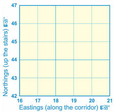
So on the image pictured to the left, we have Eastings along the bottom & Northings running up the side. In order to find a certain grid we need 4 of these numbers. This a 4 figure GR.
We are always given the Eastings first & the Northings second. A 4 figure GR would read as 17 45
Once we understand this we can move to a 6 figure GR. This is done by breaking down each of the squares into a further 10 divisions on either scale, making 100 squares inside the existing square and will allow us to pin point a location to within a 100m square on the ground. A 6 figure GR would be something like 175 454.
This can be taken into a further pin point of 10m squares by using the same logic & so on.
A roamer on your compass can be of great help here to pin point 6 figure GR’s.
Not following? Book on a course….
3) Back Bearings.
Very useful in either re-locating yourself or using a feature to make sure you are looking at what you think your looking at. A back bearing is taken by using a sighting of an identifiable feature, be it a path, summit, building or large reentrant & applying it to the map. This can help you do one of 2 things. 1 – re-locate yourself on a line feature (its hard to relocate with this technique exactly, but it can help your judgement or give you a rough location) or 2 – help you to make sure the feature you are looking at is the same one you are looking at on the map.
Remember that when taking a back bearing, you might need to subtract the Mag Variation to make sure its correct.

To take a back bearing, line the direction of travel arrow at the front of your compass with the feature, make it as exact as possible. Then swivel the rotating bevel so that you line the red end of the needle in the red house/shed, remember the Red in Shed. This is now your bearing set. Next put the compass on the map & line the front side up with the feature you think you are looking at, and move the compass until your orienting lines on the base plate match with the N/S Grid Lines on the map. You should now be able to locate yourself somewhere along the side of the compass.
A back bearing works best if you are already located on a line feature, as this bearing will then cross the line feature at some point, giving you a rough location of where you are on that line feature.
4) Re-Orienting/Re-Locating.
A very necessary skill, used to either make sure you are where you think you are, or as it sounds, to actually re-locate. Once you are adept at this skill, it should be used throughout the day, as you progress through your race or just through the mountains to keep a check on your position, but of course if you are thumbing the map, then it will be a whole lot quicker & easier. When you’re really good at it you will re-locate whilst on the move.
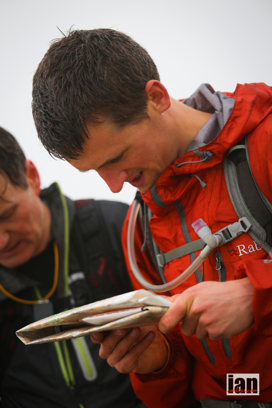
Clients on a recent OMM Mountain Skills Day relocating on Place Fell, Eastern Lakes
How to do it:
Use everything at your disposal. This means look for all the identifiable features you can see, summits, paths, streams, woods, walls, buildings, ruins, sheepfolds etc. Orientate your map, if it is not already! Now match the features on your map to the ground, or visa versa. If your still not sure, then use a back bearing by locating a summit or other feature & take a bearing from it by following what was discussed above.
If you are not on a line feature you will then need to start really assessing the contours & because you have studied your contours well at home, you have a good handle on how to interpret what you are looking at to the features/contours on the ground. Are you in a reentrant, or is there one close by. Is the valley in the right place in front of you in relation to the map.
Re-Location requires lots of practice, the more you do, the better you will get until you can re-orientate whilst on the move.
5) Thumbing the map.
Thumbing the map with compass in hand.

A very simple, but very useful technique. Once you start to get a handle on navigation, map reading & compass work you will be able to fold your map smaller, so not needing so much of it in view. The smaller you can have your map folded, the easier it is to thumb the map. By doing this we mean, fold your map in half, half again and so on until you have a manageable size to hold in your hand. Obviously make sure you can see the area you are in. Now, knowing where you are on the map, put your thumb over this location. Having the map oriented correctly in your hand is very important. As you walk/run along your chosen courses/bearing, you simply move you thumb small increments to keep up to date with your progress.
Why is this useful?
Because you need to be able to locate your rough position on the map at a split second or whilst on the move. When you want to check your surroundings against the map, just pull it up to have a look & your thumb will be placed near to where you are, you can then re-locate very quickly & keep a track of your progress from map to land or the other way round. This is how you will learn to re-locate whilst on the move!
6) Hand-railing.
It is as it sounds, using a handrail to help you on your way as you travel across the land. So what is a handrail? It a feature on the map that allows you to use it as a hand-rail. It is always a line feature & can be as simple as a path, or as obscure as a blind ridge line (by blind I mean rounded & not obvious). Once you have established the handrail is going in the direction of travel you want you can walk/run along it until you need to make your next decision.
Examples of Hand Rails

How do you know when to stop? Use the next technique, a catching feature….
7) Catching Features.
A catching feature again is as it sounds, its a feature that catches you. It can be designed to wake the brain up to say your nearly at your destination, next direction change or just as a marker to what is coming next. You can have as many catching features as you like along your chosen course. Don’t pick too many though, as it will be hard to remember. Try to limit them as wake up calls, or direction changes, but you can still use them as markers to track your progress.
Plenty of Catching Features in the image below:
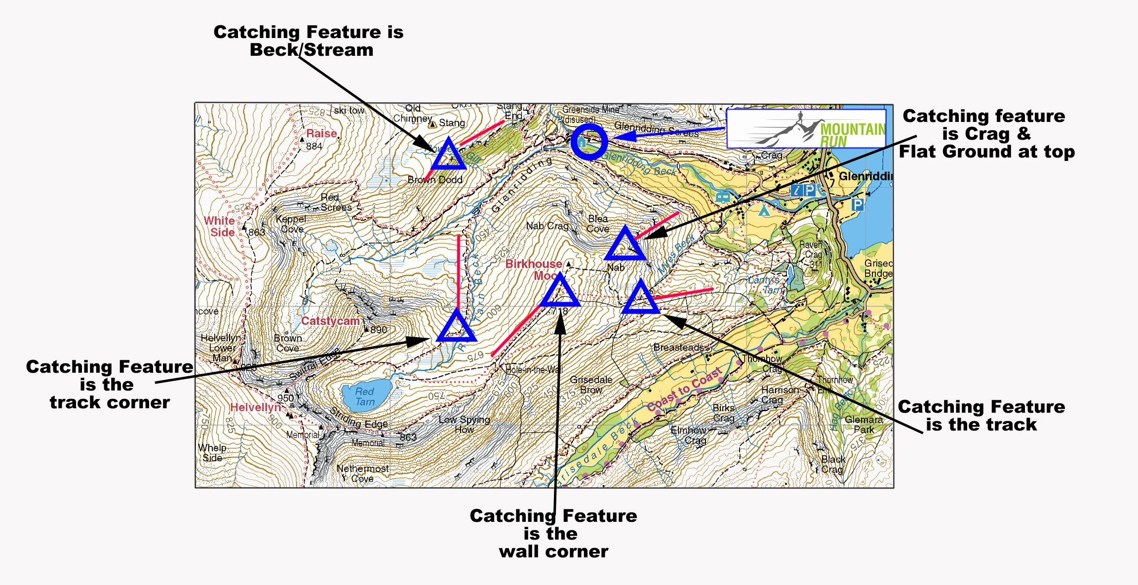
A catching feature might be a wall corner, building, junction in a path or river or a crag that you are moving past. Used in conjunction with thumbing the map & hard rails, you can see that you can really track your progress as you move forwards.
8) Aiming Off.
The last technique in our intermediate navigational skill set. We use aiming off to catch a line feature, that we may then use as our next bearing setter or as a handrail until we reach the next catching feature.
To aim off we use a bearing slightly off to the side of the line feature we are heading for. This can be either left or right, but it need to be obvious, otherwise you might miss it.
Aiming Of below so you don’t miss the control, best practice in foul weather!
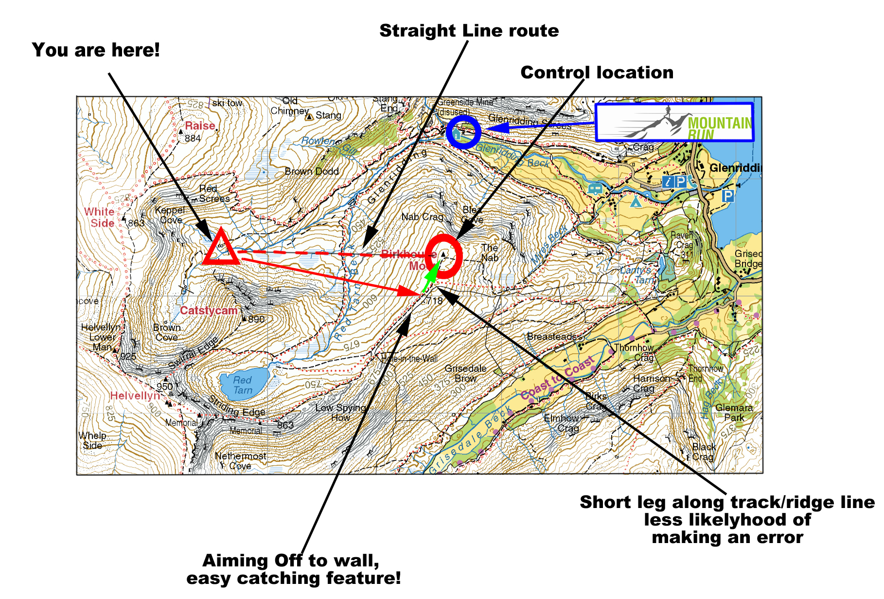
Lets say your travelling across open ground south to north, there is a tarn in front of you running from west to east & you want to catch this feature, but keep moving past it. The weather is in and visibility isn’t what you want it to be. You want to pass the tarn to the east, so you need it to be on the western side of you. How will you know you have passed it, if you can’t see so well due to mist? The tarn might be 500 m long, west to east. By aiming off, rather than passing the tarn on a bearing and checking it off as you go, you are better aiming off your bearing slightly to the west & hitting the tarn, this then gives you an identifiable feature to break up your leg & confirm you are where you think you are. You can then take your next bearing to the location you want to reach, using the techniques of handrails, catching features & possibly aiming off again.
Get these skills dialled in good weather & you can now be ready to head out in to the open fell in inclement weather. Get them dialled in bad weather & your getting ready to head out at night.
Still not got it?
Are you interested in an UltraTrail Nav Day or a Mountain Marathon Skills Day?
Send us your details here:

Photo ©covadongafernandezcue
We are really delighted to announce a very special event at the Pop-Up: an action photography workshop with the one and only Ian Corless. This is a man who not only takes some of the most beautiful, inspiring and exciting photos of ultra trail running, but he is an ultra trail runner himself, so he really knows what he’s talking about.
 This workshop is going to be a perfect opportunity to hone your own photography skills and learn from one of the best. Tickets are limited so that everyone on the course gets as much from it as possible, so if you fancy upping your camera game, this is the one for you!
Event information and booking HERE

The 8th Rab Mountain Marathon™ will be held on the 27th and 28th September 2014. The Rab Mountain Marathon™ is a two-day fell running and navigation challenge for solos and pairs with an overnight camp.
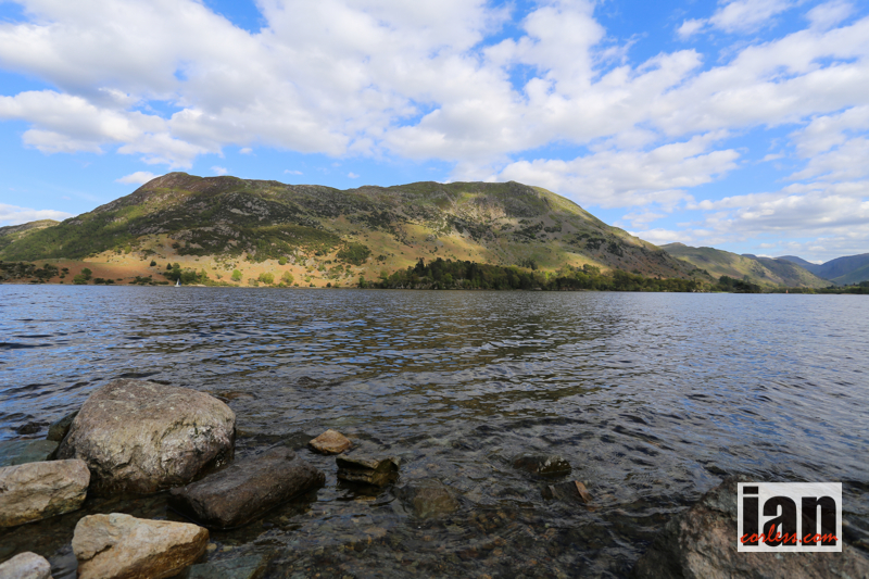
The Rab Mountain Marathon kicks off this weekend at 0830. Two days of navigation and running will unfold in the English Lakes using the popular score format.
Now in it’s 8th year, the Rab Mountain Marathon has become an iconic race that has visited many stunning locations, the Cheviot Hills, Derwent Fells, Snowdonia, Howgills and this year it once again returns to the English Lakes.
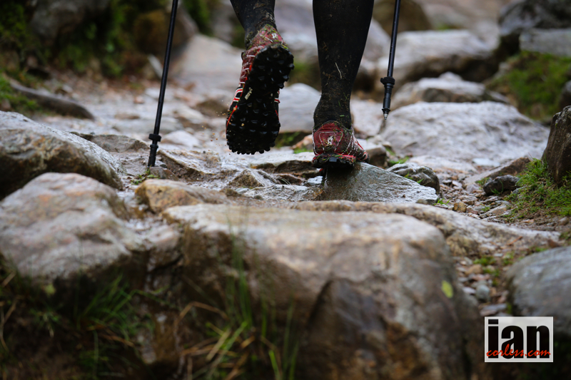
Taking on challenging mountain terrain, participants need to be competent and confident at moving fast over tough terrain. As usual, the is the UK and runners will need to be prepared for the worst despite a recent spell of really good weather in the UK.
As one would expect, the Rab Mountain Marathon will take place over rough, steep and technical mountain terrain. Many sections of the course will be isolated and if bad weather comes in, everyone needs to be prepared.
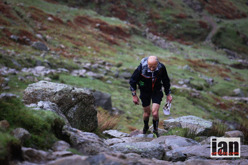 The race format is ‘score’ as this tests navigation skills and avoids snakes of runners going from point-to-point. A rolling start window of 2-hours will spread the runners out and electronic timing is used to track the runners. As normal, different class options are available (including walking) and it’s possible to participate as a solo or team of two.
It’s hard to highlight some standout competitors for 2014. If I were to place a bet on the top Long Score competitors it would be between Adam Stirk and Andrew Higgins (who are a pair) and Stewart Bellamy (solo). Adam and Andrew finished 3rd last year behind Steve Birkinshaw (1st in 2013) and Alex Pilkington (2nd in 2013) both of whom are not taking part this year. They were also 2nd at the Highlander in 2013.
Stewart Bellamy is a strong runner and whilst he may not have featured in the results of recent mountain marathons, he did win the GL3D in 2013.
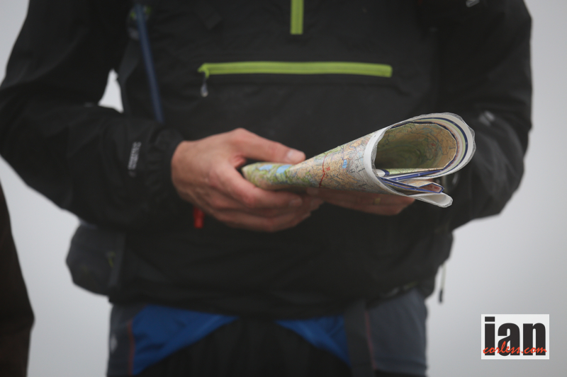
The Rab Mountain Marathon’s approach is designed to be relaxed and less formal and structured than that of the OMM, which will take place next month.
Shane Ohly, race director for Ourea Events says, ‘But hey the Rab isn’t really about the elite runners and there is some super generous support from Rab who are providing vouchers to the value of about £10,000 for 1st, 2nd and 3rd across a huge range of categories. Check them out here: HERE
At registration on the Friday evening or Saturday morning, competitors can view a Master Map of the competition area which will give a full overview of the event area being used plus provide details of any out of bounds areas, map corrections etcetera. The event Master Map will not be over-printed with any control points.
So there you have it… two days of navigational fun in the English Lakes. It’s possible to follow a live stream HERE and a free APP has been created. Details HERE
Apps can be downloaded here:
iOS – http://bit.ly/1wwcbDK Android – http://bit.ly/1AUZNhj

Race Website HERE
Rab Apparel HERE
Rab Twitter HERE
Welcome to CYCLING for RUNNERS in conjunction with Scott Sports
Over the coming months and year, Ian Corless and Niandi Carmont in conjunction with SCOTT SPORTS will bring you CYCLING FOR RUNNERS.
Ian, Niandi and a series of special guests will provide you with a series of articles from a male and female perspective on how cycling can benefit you as a runner.
Providing simple and clear information, we will write about our experiences, we will tell you about equipment, provide hints and tips and most importantly, we will provide you with a series of training plans that you can incorporate week by week, month by month to make you a better runner through cycling.
We know 3-types of runner:
Of course, we joke, but many of you will agree there is some real truth in the joke. Running is not bad for you, however, taken to extremes or if rushed, the impact of repetition can damage and break us. Sometimes a couple of easy days are all we need and then we are able to resume full training. But as often happens, a couple of easy days may not be enough and our eagerness to push and get back to full training causes us to take risks and then the inevitable happens, we break!
Don’t get us wrong. If you want to be a good runner, you need to run. However, we don’t always thing big miles, double day runs or running everyday is necessary. It’s all about balance and ultimately what level we are running at and what our objectives are. As we see it, runners fall into four distinct groups:
We could break the groups down again but ultimately, for the purposes of explanation, these four groups will suffice.
Group 1 runner’s will run typically three times a week (maybe four) and they will run twice in the week and once at weekend. During the week they will train from 20-60min and at the weekend they will extend their running beyond an hour. Mileage will be 30-50 miles per week.
Group 2 are pretty dedicated and savvy accumulating three to four runs during the week and running once or twice at the weekend. Sunday will typically be a long run of 90+ min and on Tuesday and maybe Thursday they will add some speed or strength running. Mileage will be 50-75 miles per week.
Group 3 runner’s are very similar to group 2, however, they are running six days a week, they double up runs on a couple of days and at weekend they may do back-to-back longer runs. Mileage will hover around 80-miles per week.
Group 4 are pushing the envelope, they run twice a day, four to five days a week and run long, fast and high during the weekend. They typically hover around 100-miles per week.
We generalise above and of course we will be able to find extremes in all the scenarios. However, the four groups provide a picture. We think the risk of injury is high for all the groups and relatively equal. Why?
Well, group 1 for example will be less experienced (typically) and will have less run history and therefore although the time on feet is less, the percentage risk is high based on experience.
Group 4 by contrast will have loads of experience, they have been involved in sports for years and they are knowledgeable. Risk comes for them from volume and because they are often on the edge looking for small performance gains.
For us, this is where cycling for runners can come in!
Cycling provides a great low impact exercise that can be done in or outdoors, it can be very controlled and importantly it can be as easy or as hard as you like.
Yes, if you want to be a great runner, you need to run. BUT cycling can add to your running and not take away from it…
Just think, how many of you have said, ‘I am just popping out for an easy run!’
Is there such a thing as an ‘easy run?’
In terms of effort, yes! For sure, you can run slow, easy and controlled keeping your heart rate down, keeping your cadence light and just tick-over. But, you are still in contact with the ground. You are still ‘impacting’ with the surface beneath you and you are still passing your body weight through all your muscles, tendons and joints. Recovery runs are not about fitness, they are about loosening off and in many cases, we use recovery runs just to make us feel better. So, why not incorporate some cycling as active recovery?
Long runs can really impact on your body. Hours of running adapt you to the demands that will be placed on you when you race but sometimes we will run the risk of pushing too far and risking injury. Long bike rides on hilly terrain for example can be used to provide multiple hours of low impact exercise. Hours where you can push harder than running without the risk of damaging knees, muscles and ligaments. If incorporated with long runs, you have a great way to do back-to-back sessions while reducing impact injury risk.
Speed can damage our fragile bodies, particularly our muscles and tendons. However, run speed work incorporated with cycling speed work can stress the aerobic system and it will stretch us physically and mentally in new ways.
Hill reps provide great aerobic stress pushing us to our threshold limits, however, what goes up, must come down. Often, it is the running downhill that causes damage. Of course, we need to train for this in running, it’s important. However, cycling hill reps incorporated into a structured training plan can provide a great stimulus that will progress your fitness level and once again, the impact implications are low.
Finally, cycling can just be a blast. It’s a great way to head out and see a new place; arguably, we can cover more distance in less time on a bike. If nothing else, cycling may well just provide you with a well-earned break from running. Cycling will freshen your mind, it will freshen your body and I guarantee, your running will improve.
Part one of cycling for runners will be released on Wednesday October 1st and we will look at the basics to get you started:
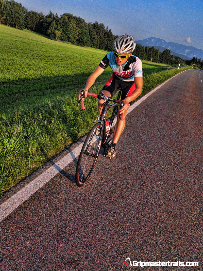
Philipp Reiter Cycling
To kick things off, Salomon International athlete, Philipp Reiter will also give us his thoughts on why cycling works for him as a trail, mountain and ultra runner.
Stay tuned.
Join us on STRAVA
Thanks to SCOTT SPORTS for the support and backing

Check out SCOTT HERE
CYCLING for RUNNERS PAGE HERE

The 2013 incarnation of the inov-8 Race Vest was a revelation. It was arguably the most simple and minimalist pack on the market that fit and functioned perfectly for the task at hand. It had a unique design, the ability to carry 2-bottles and/ or bladder and in addition it had a series of really useful and importantly, ‘usable’ pockets. No pack is perfect, however, I did say the Race Vest was close.
Many agreed. The pack sold incredibly well and it won awards.
However, it did have some restrictions. In reality, the pack was perfect for 1-day races when minimal mandatory kit was required. But if you where doing a longer event such as UTMB then the original pack had limited space. I actually was able to put all my mandatory kit in the pack but I had to be creative and yes, I had to have the smallest and lightest kit available.
 I personally don’t think this is a fault of the pack! The original Race Vest had a use and if used in the scenario for which it was intended, then it was arguably one of the best packs available.
When the product became available to purchase (early 2014), a few tweaks had been made from the original prototype, which I was using. The key change was in the upper. My pack would allow the 2-bottles to fit low (near the rib cage) or high on the shoulder straps. After testing, many people commented that the shoulder straps rubbed around the neck, so, Matt Brown, the designer, reworked the design, narrowed the straps (which did provide a better fit) but unfortunately this meant you couldn’t fit the bottles in the upper position. A real shame in my opinion! More importantly, original retail samples had a couple of question marks on durability. Many runners complained of some less than perfect construction. This was soon nipped in the bud but as we all know, this is never a good thing.
Below, the original Race Ultra Vest with bottles:

Jump to the inov-8 athlete retreat in the English Lakes, spring 2014. A weekend of running: looking at new shoes, apparel and accessories for the coming year (2015). Needless to say, as a running aficionado, I love this. I love to see how a brand takes past and current ideas, develops them and comes up with something new. The new apparel looked incredible, new shoes were promising; particularly the new Ultra 290 shoe and then we saw the packs… the new Race Vest.
Similarities could be drawn to the original 2013/2014 model but boy oh boy. This was a complete overhaul taking all the features from the original, adding tweaks and then coming up with something new. inov-8, Matt Brown and the rest of the team had pimped their packs!
No longer was one pack available but three: 5ltr, 10ltr in this style and a larger 24ltr for mountain marathon or multi-day events. Using the ‘vest’ fitting system, these new packs in one word are awesome.
I said in my original Race Vest review back in 2013 that ‘This new product from UK company; inov-8 may very well be the next key moment in pack design stripping away complication and providing a pack that would almost make a perfect accessory for Batman.’
It was a bold statement and one that I still hold. However, that unique innovation has moved up a step and lessons have been learnt.

So, what is new?
I have 2-packs for testing, the 5ltr and 10ltr. They are exactly the same, obviously the only difference being capacity. For the purpose of this review, I have tested and photographed the 10ltr as I feel this will be the most popular option. However, I will say that the 5ltr does have far more capacity than the original Race Vest despite them being arguably, on paper, the same size!
My test product is a prototype and I am aware of some tweaks that will be made based on my review and the feedback I provide. So please refer to this review and I will update with any key changes and revisions that may happen over the coming weeks/ months.
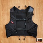
The vest fits like a glove. I never expected anything else. You put it on and immediately it is like adding another piece of well fitting clothing. Unlike the original Race Vest, this pack will not have adjustment straps on the side. Therefore, the pack will come in a variety of sizes so that you can get the product that fits you! I believe this will be S/M and M/L and fit has been tweaked under the arm to a better fit under the arm from my prototype.
Why no side straps?
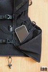
Well, two large ‘dump pockets’ have been added to the pack. It made sense. This was an area not utilised in the original design and now you have 2-easy access pockets for food, clothing or any other item you may need.
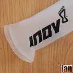
For me though, these dump pockets make the ideal location for storing the new soft flasks. This wasn’t the original idea of designer, Matt Brown. However, after 1-week of testing, I contacted Matt and told him of the way I was using the pack. It made perfect sense to me. It had the bottles in an easy access and comfortable place, the new ‘extended straws’ meant that I could feed as and when I wanted without removing them and if I needed to refill, I could just pull them out, take off the top, fill and replace. In addition, you could still use the dump pockets for additional storage either under or over the soft flasks. I typically put my gloves, Buff or other essential items in this area. Being a photographer, I have often replaced one soft flask with a camera. Yes, they are that adaptable.

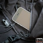
On the front of the pack, you have zip pocket on either side. These pockets are for the soft flasks, however on my prototype they were a little too small and tight. For me, they are perfect for valuable items such as phone/ money/ credit card or similar. Matt Brown has confirmed for me that the zipper pockets have been re-designed and made larger accommodating the flasks with ease and comfort, ‘I used the updated sample at CCC and kept the bottles in the zipper pockets, a lot easier to remove and get back in again,’ said Matt. So, the choice will be yours? I do recommend you try options and see what works for you.
Several other stretch pockets are available that work well for keys, food and or gels.
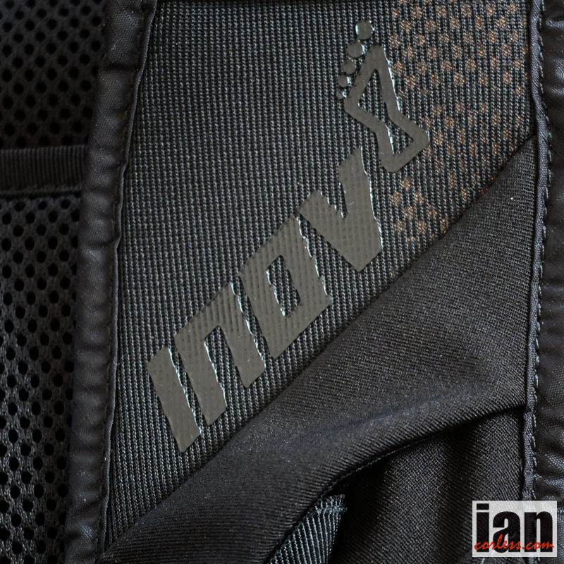
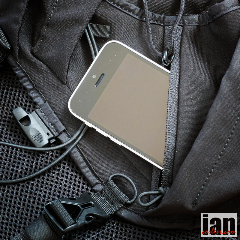
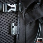
The front fastening system has also changed from the original. This pack no longer uses the quick release system that some found fiddly on the previous vest (I didn’t). Now it has 2-fixed straps, upper and lower and both use the classic male/ female quick release fastening system.
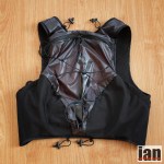
The rear of the pack has 2-zippers: one on the outside of the pack that allows access to an uncluttered open pocket.
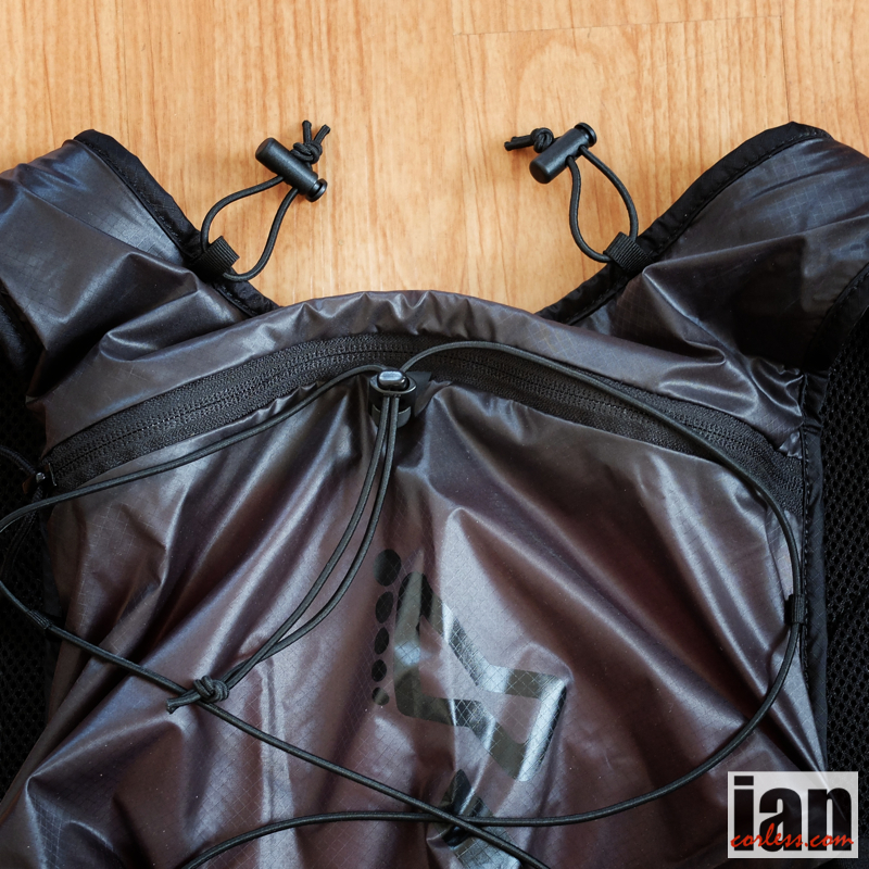
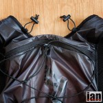
On the reverse, the part of the pack that would sit against your back, has a zipper that would allow direct access to a bladder should you wish to use one.
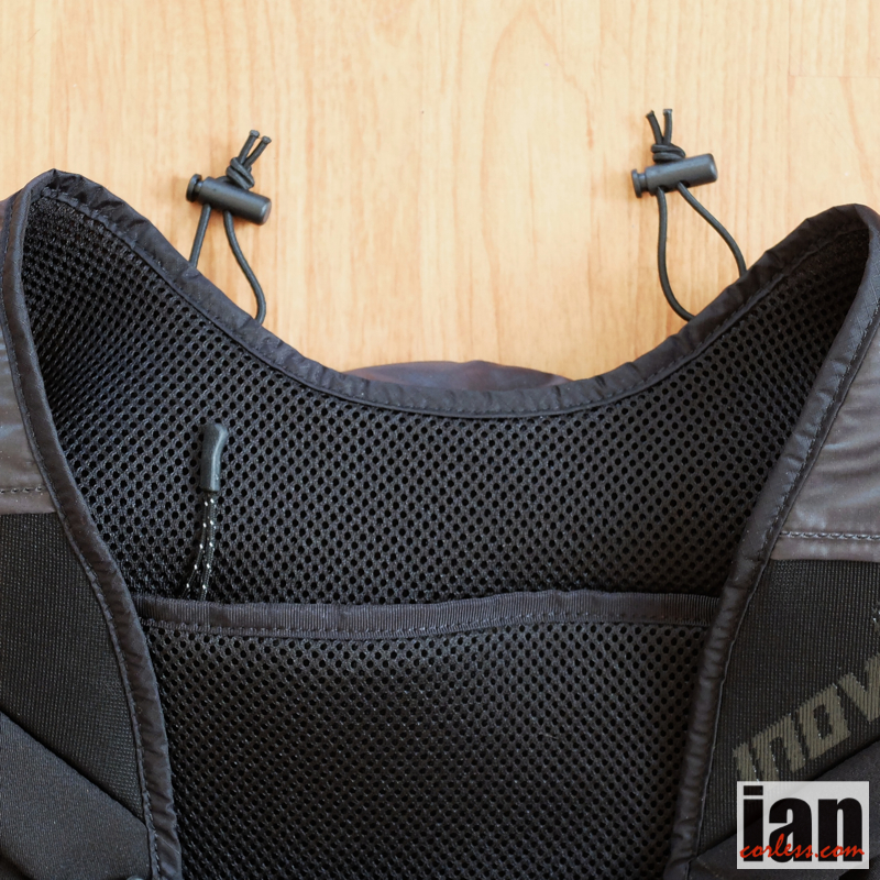
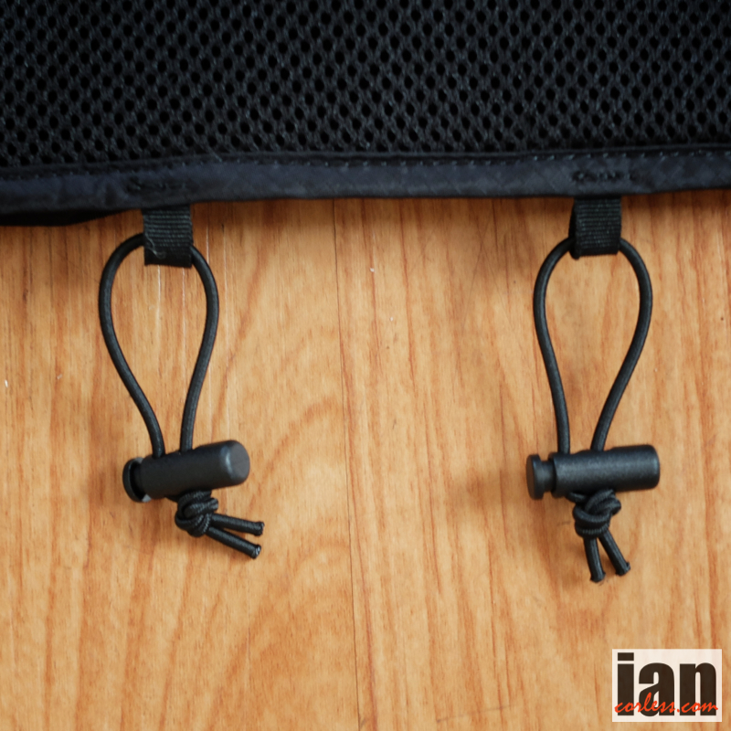
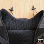
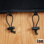
Of course, this is perfect, especially in long events when you are carrying mandatory kit. You don’t want to be pulling kit out to get to a bladder. In addition, elastic cords have been added to the top and bottom to attach poles.
The large open pocket (10ltr version) held with ease:
And I still had space to squeeze other items in. No question, it’s perfect for a UTMB style event or similar. Should you carry fewer items, the adjustable bungee drawstring on the pack will allow you to compress unwanted space.
The pack has an optional (purchase extra) 2ltr bladder that sits within a temperature control sleeve and this easily slides into the rear zipper pocket. The feed pipe is insulated and can be used on the left or right hand side of the vest. Ideal should you require the option to carry 3ltrs of liquid: 2ltrs in the rear and 1ltr at the front two soft flasks.
IN USE
It may come as no surprise that I find the pack perfect. I have yet to find an issue with any aspect of the design.
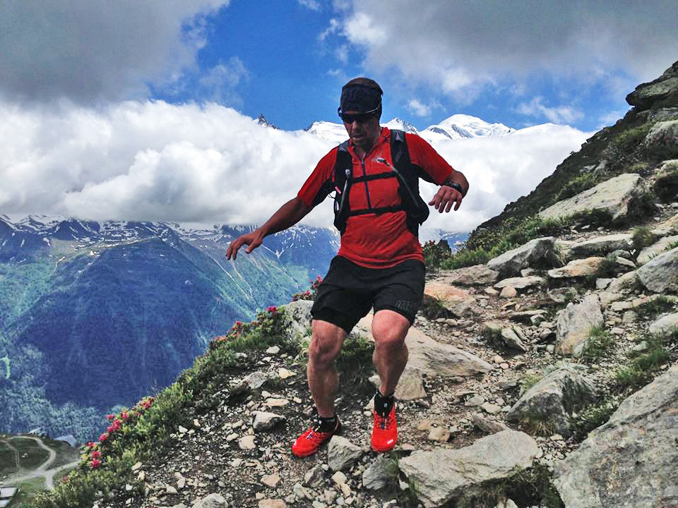
The soft flasks with extended straws are a revelation and make ‘on the go’ drinking a breeze. It also makes refilling very easy.
The vest fits like a glove, does not bounce and is extremely comfortable even when filled to capacity.
Fabrics are light and breathable as the original. Of course with any vest, you are going to get a hot spot on your back. You can’t avoid that with this style of product. Having said that, I have yet to find a pack that doesn’t do this…
 The rear large zippered pocket requires some thinking when packing, as it is just an open space. You push things in and keep pushing. I recommend if using a bladder, add this first and then pack. Place the items you are likely to need less at the bottom and then work your way up leaving the most essential items at the top. It’s not rocket science but good to think ahead. Once the bladder is in place, you don’t need to remove it as it has a separate zipper access thus allowing refilling as and when required. It works really well. As mentioned previously, you can fit all mandatory kit (UTMB requirement) in the spacious pocket.
You can attach poles to the rear. I tried but didn’t find this to be a good option for me. More often than not, the new folding poles such as Black Diamond or Leki are shorter in length. This makes fastening more awkward and problematic. To resolve this, I attached two adjustable bungees to the shoulder straps and I store my poles folded across my chest; works for me and makes storing and access to the poles easier. It’s a personal thing.
The multiple front packets provide immediate access to anything I needed whilst running. I had a phone, camera, bars, gels, keys and money all at hand. Perfect. The front zipper pockets add extra security if not used for the soft flasks.
I used the two large dump pockets for my soft flasks and then placed gloves, buff and some snack items on top. This works great but you need to think when coming into an aid station… if you just pull out the soft flask, what is on top will hit the deck!
action photos ©marcuswarner
Conclusion
I raved about the original Race Vest (2013/14 model) and hailed it as arguably the ‘perfect’ pack. In refection, I was wrong. It was perfect to a point. The new range of packs (in 3-sizes) have addressed the issue of storage (or lack of) and with the addition of soft flasks with straws, these packs offer everyone the opportunity not only to get the right size to fit them but also the correct capacity for your needs. For me, if you were only going to purchase one pack, the 10ltr would be the most logical option.
Although we haven’t done a full test from a female perspective, initial feedback has been good. As I am sure you can imagine, this very much depends on the lady and the chest size.
We will update this review with a female viewpoint ASAP.
Finally, inov-8 has come up with another winner. I’d recommend this pack to anyone and everyone. The 10ltr does have some strong competition from many other key brands so ultimately it will all come down to personal taste. But if you are ordering online without seeing the product have confidence, you won’t be disappointed.
Check out inov-8 HERE
Availability? This pack is a 2015 model and as such will retail in early 2015. Pre orders and enquiries should be sent to inov-8
Price? 5L £110 / 10L £120 inc bottles
Note: I was asked on Facebook about a lack of negative comments. It’s simple really, I don’t have any. My comments re the zipper pockets being too small and tight was my big gripe which ironically made me look at storing the soft flasks in the dump pockets. Matt Brown, the designer has reworked these pockets and as he says, he personally used the pack for CCC with no issues. I do hope to get a couple of images from Matt to show this tweak to the design.



 IAN CORLESS