The 95! – The 2016Cape Wrath Ultra™ Starts

CapeWrathUltralogoThe Cape Wrath Ultra™ brought to you by Ourea Events, the team who revived the Dragon’s Back Race are in the countdown days to a once in a lifetime multi-day journey that will test mind and body over 8-days weaving a 400km journey through the Highlands of Scotland.

Starting at Fort William on May 22nd, the race will take runners on an incredible journey in a magnificent and remote part of the world that will culminate in the most northwesterly point of the British Isles, Cape Wrath on May 29th.

Cape Wrath Ultra website HERE

Map-Route-31-12-15-Version3

Stunning scenery, remote wilderness, beautiful lochs, glens, towering mountains and the crashing ocean, the Cape Wrath Ultra™ is arguably one of the most stunning multi-day journeys in the world.

A supported expedition, equipment for the competitor’s will be transported day-by-day, tented accommodation and meals will be provided.

In a nutshell, 400km (250-miles) over and through the Scottish Highlands will be the ultimate test for the runners as they navigate via map and compass (GPS are allowed with GPX routes provided by Ourea Events) over 8-days over multiple distances with a variety of terrain and elevation gain.

Today, 95 runners arrived in Fort William to register, collect numbers and leave drop bags in preparation of the race to start tomorrow, Sunday 22nd May at 1000 hours.

Over the coming days, you will be able to follow these 95 runners via live tracking as they weave their way north. We thought it only appropriate that you can put a face to the name. Here are the 95!

Cape Wrath Ultra Website HERECapeWrathUltralogo

CapeWrathRoute

Marmot Dark Mountains™ 2017 Open for Registration

©iancorless.com_MDM2015-8660

Marmot Dark Mountains™ 2016 saw an unprecedented 200 competitors take to the Northern Fells of the Lake District, starting from the event centre in Mungrisedale, in what can only be described as windy and wintery conditions.  As Andrew Higgins (competing on the Elite course with Adam Stirk) put it:

 “…one of the best challenges of sound mountain judgement, endurance and skill that I have ever had the pleasure of competing in. By retiring with windburned eyes after 8.5hrs of pretty full on fun – I think Adam and I passed the test, despite not completing the challenge. We will be back…”.


©iancorless.com_MDM2015-0669

Marmot Dark Mountains™ follows the usual two-day mountain marathon format but condenses it into one winter’s night.  Elite, A, B, C and Score categories set off in pairs on a staggered start, the longer courses followed by the shorter ones, all hoping to converge back at the event centre as dawn breaks.  Live GPS tracking enables the organisers, alongside friends, family, and any other keen followers, to track the progress of the competitors through the night.

On the back of a sell out 2016 event, entries have just opened for the fifth edition of Marmot Dark Mountains™, the world’s only overnight winter mountain marathon, which will take place on 28-29th January 2017.

Race Director Shane Ohly said:

“There are very few events that are as demanding as Marmot Dark Mountains™ and require such an all-round skill set from the competitors. When I started the event in 2013 I had no idea how many mountain runners would step up to the challenge and it has been a delight to see the event grow year on year. I can’t wait for 2017 and to reveal the brilliant area we have lined up”.

Marmot have been the title sponsor of the event from day one, and UK Sales Director Hugh Harris added:

“We’ve been on board with this event right from the start in 2013, and we couldn’t be happier with how it’s grown over that time. Very demanding events like Marmot Dark Mountains™ are perfect for us to showcase our brand and we look forward to supporting it again in 2017”.

 Janet Hill, who was competing with John Williams on the Short Score course got in touch to say, “First of all I would like to say how much I enjoyed this event, and I am in awe about the amount of time and effort it must take to put on an event like this. The snow, strong winds, river crossings and darkness made this a challenging but exhilarating event… …Thanks again for a great weekend. I hope to be there in 2017”.

©iancorless.com_MDM2015-0454

Marmot Dark Mountains™ has something for everyone; the Elite course to challenge the most seasoned of competitor through to the C and short score courses which would be suitable for a first timer.

We look forward to revealing the location of the 2017 event on Monday 5th December 2016, and welcoming both new and old competitors to another superb race area.

Ourea_Events_Logo(600)

Key Event Information
Date: Weekend 28th 29th January 2017
Venue: Final venue disclosed December 2016.
Courses: Elite, A, B, C, Long Score and Short Score
Entry Fee: From £55.00
Image ©iancorless.com - Marmot Dark Mountains

Image ©iancorless.com – Marmot Dark Mountains

Rab Mountain Marathon™ 2016 – Open for Entries


©iancorless.com_RabMM2015-2674

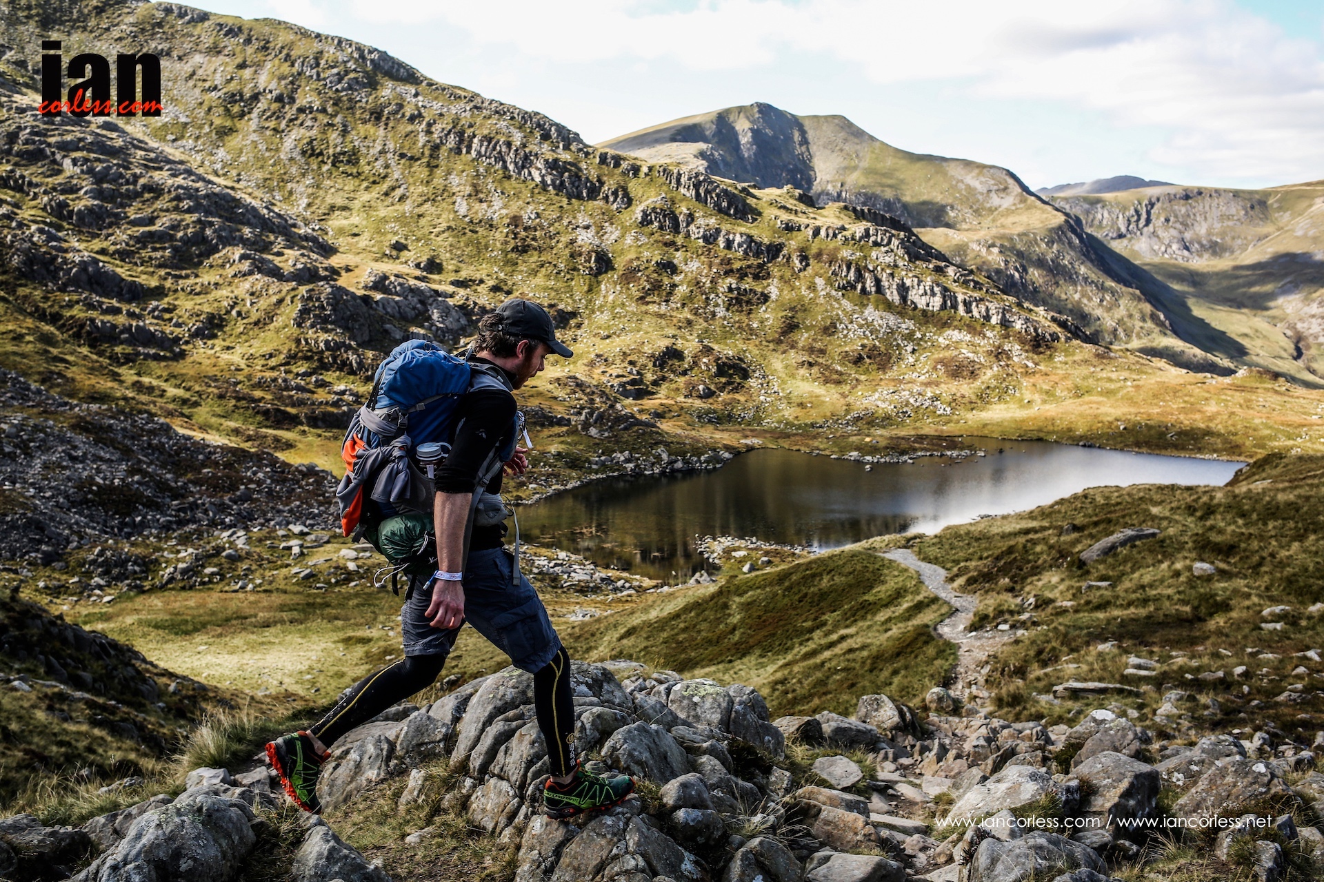
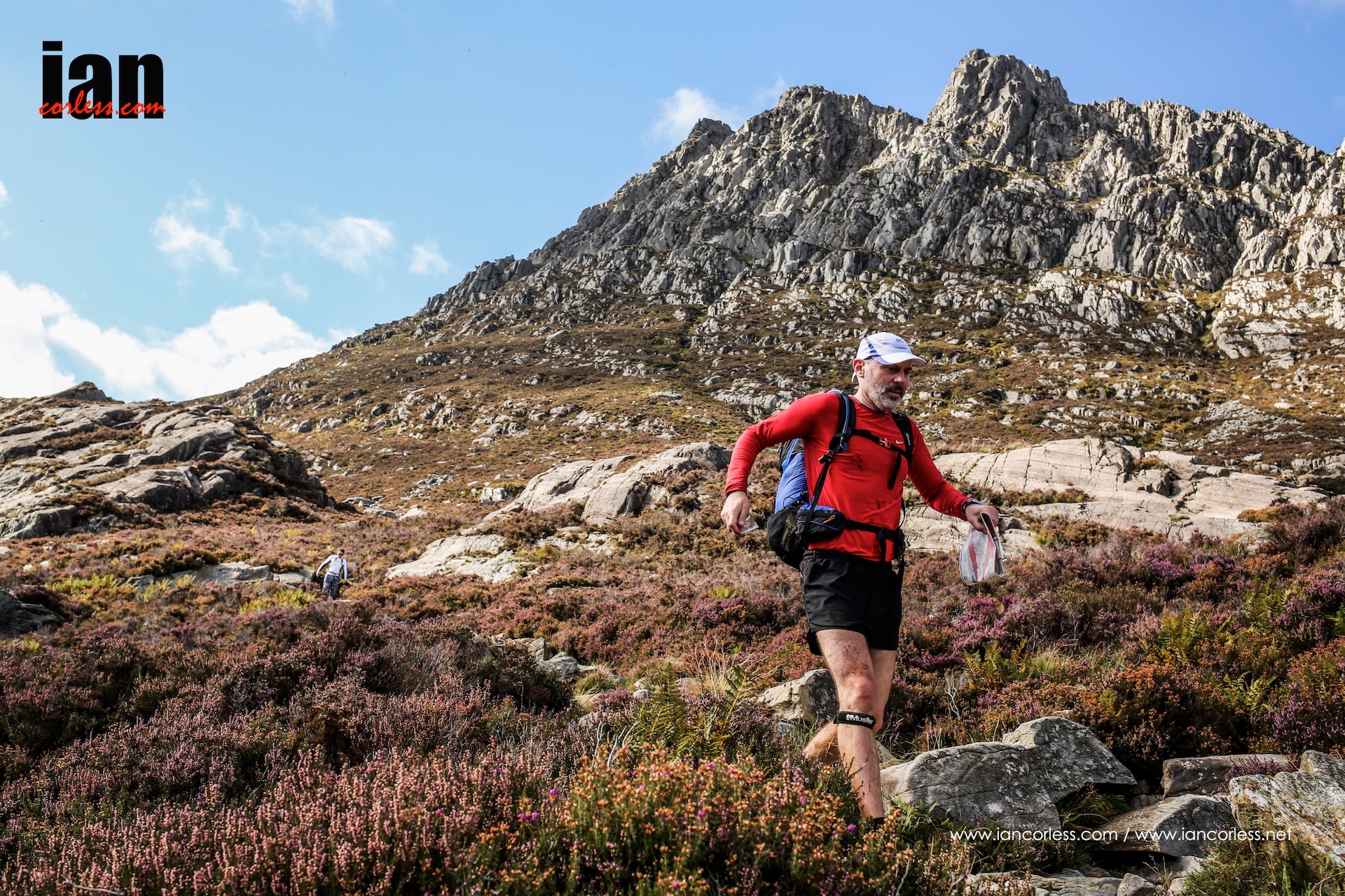
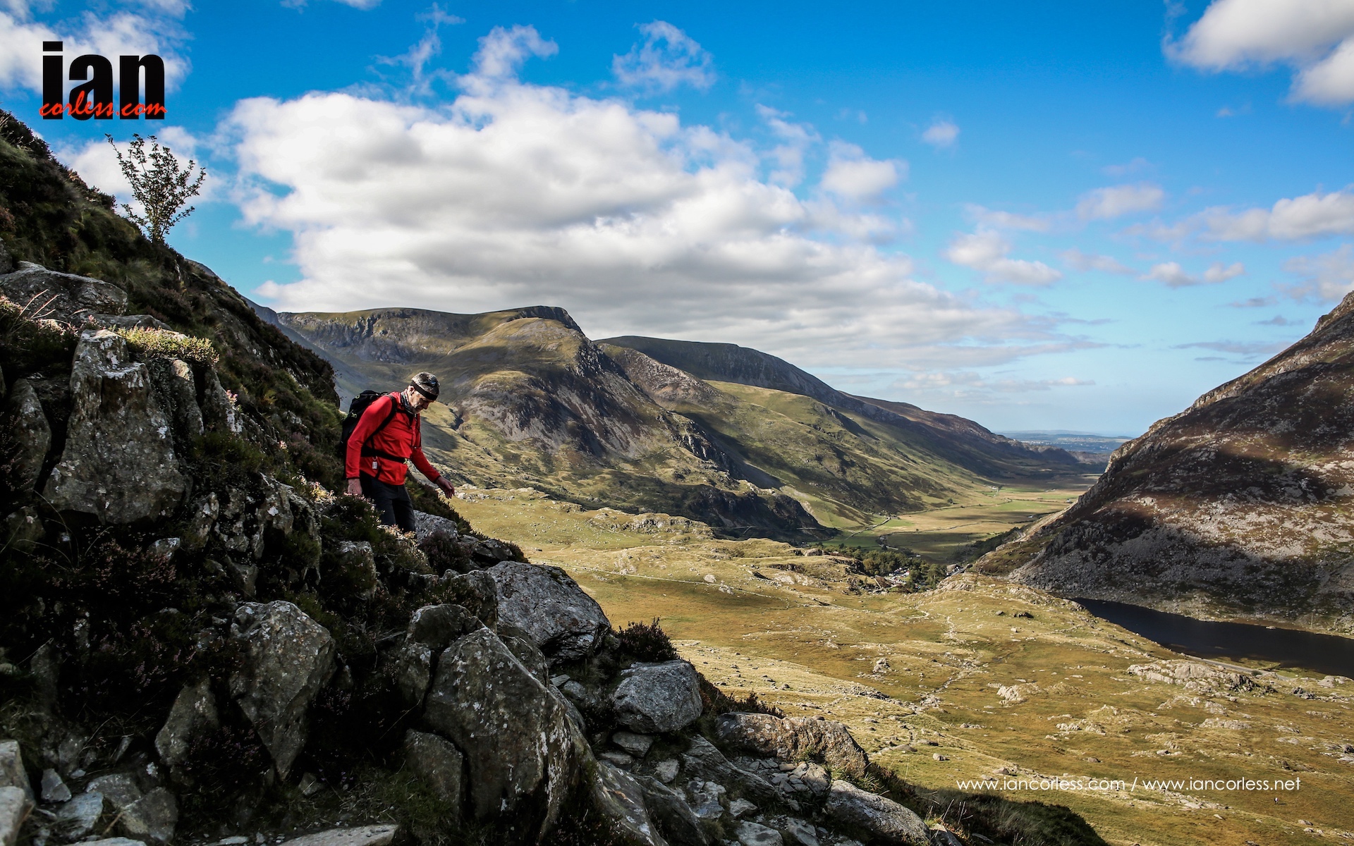
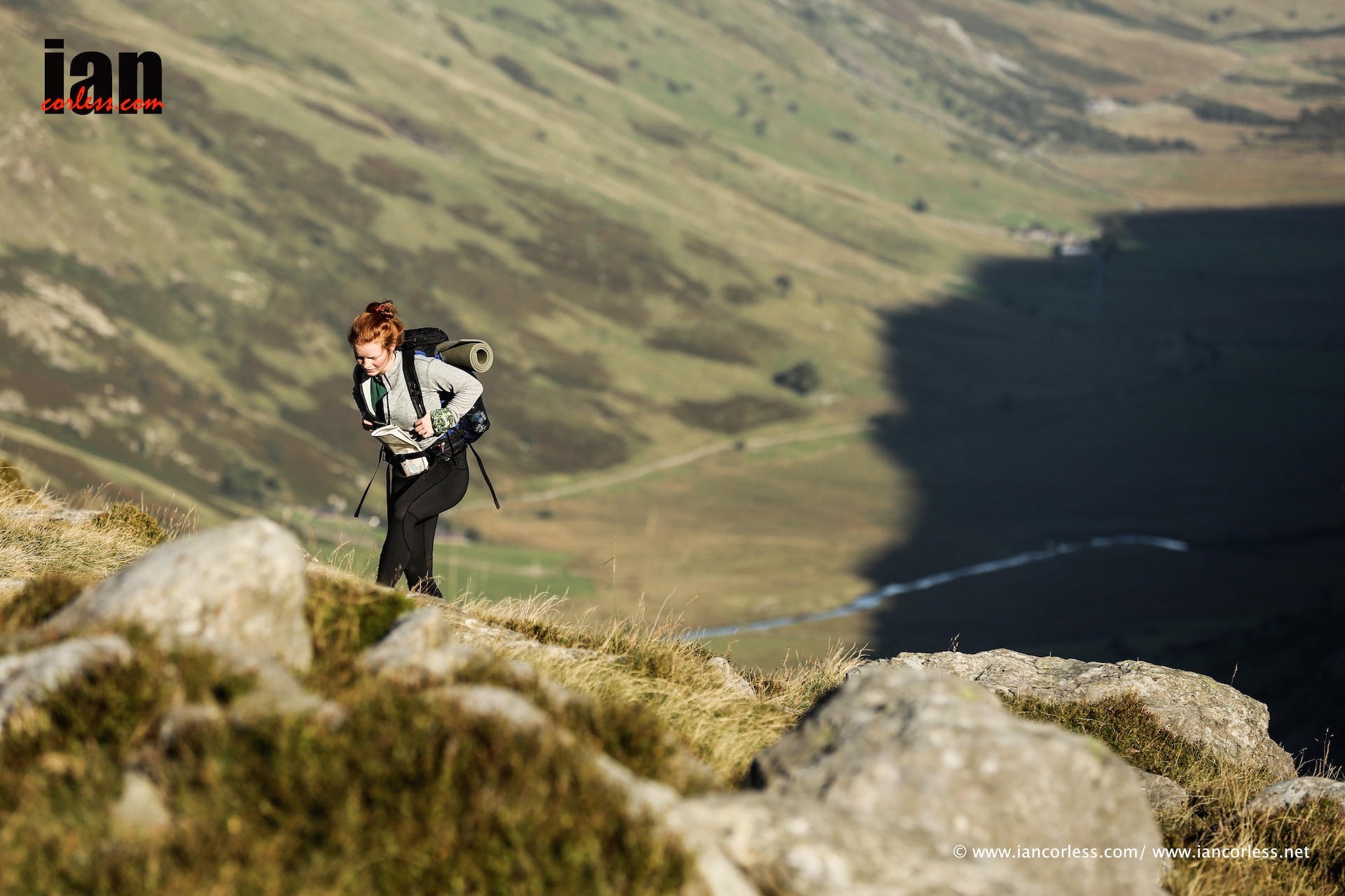
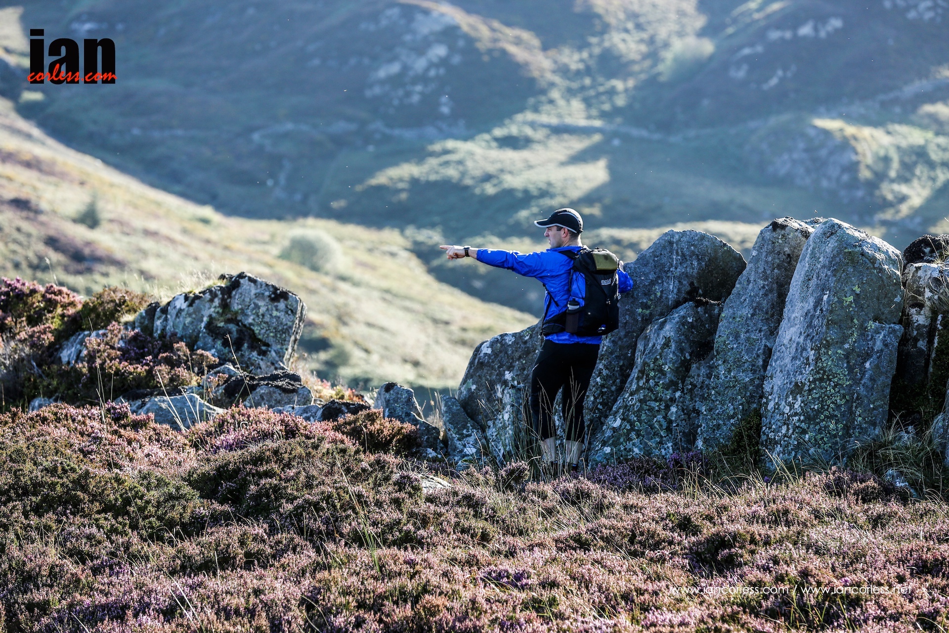
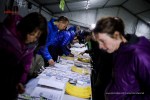
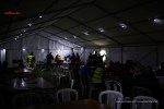
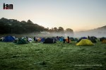
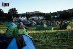
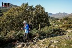
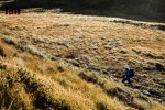
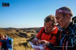
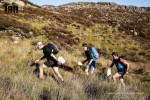
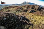
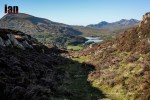
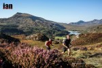
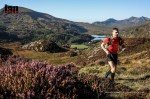
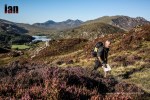
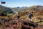
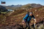
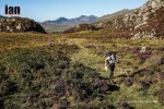
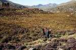
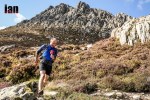
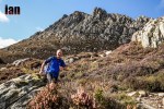
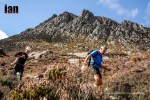
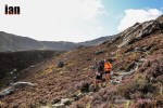
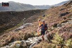
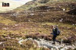
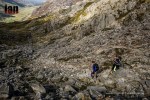
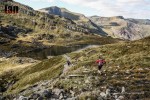
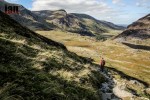
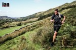
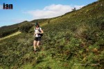
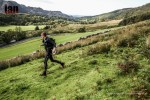
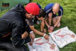
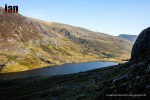
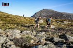
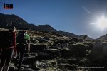
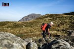
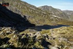
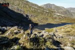
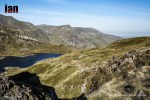
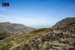
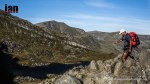
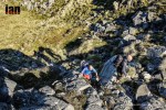
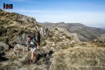
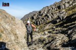
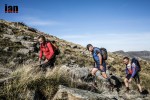
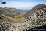
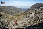
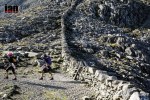
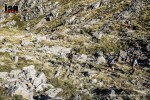
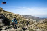
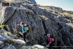
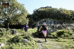
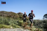
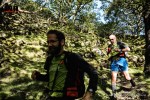
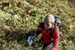
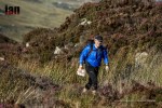
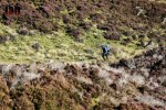
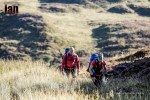
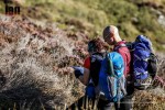
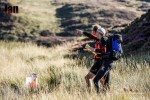
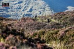
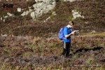
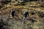
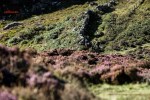
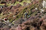
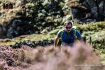
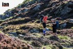
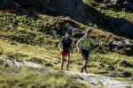
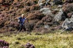
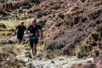
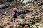
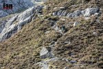
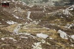
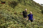
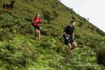
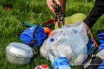
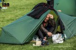
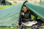
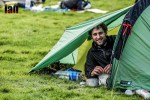
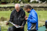
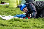
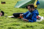
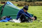
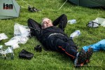
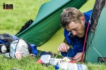
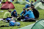
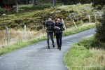
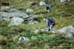
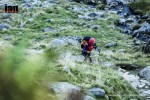
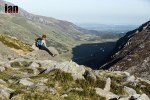
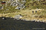
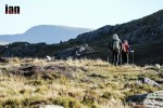
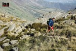
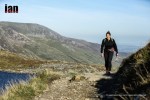
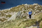
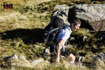
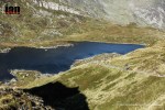
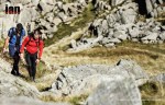
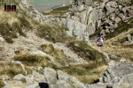
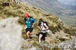
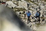
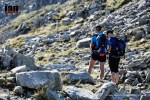
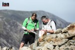
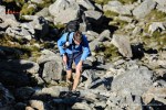
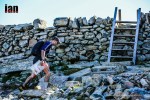
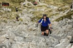
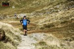
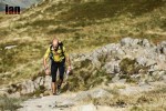
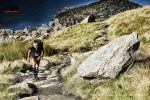
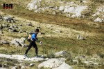
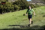
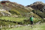
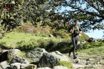
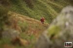
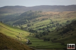
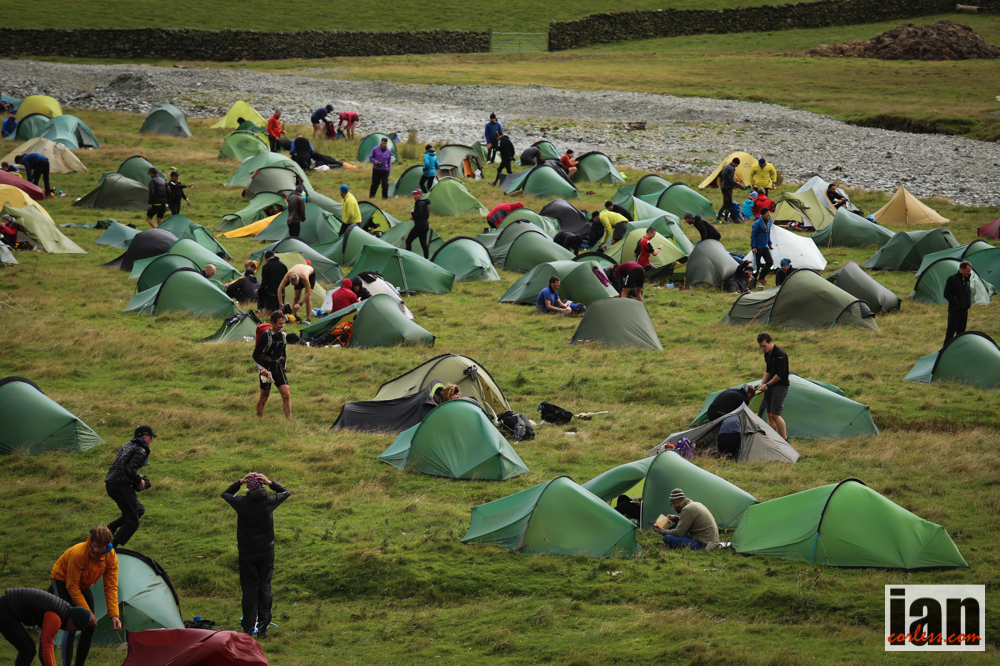
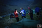
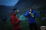
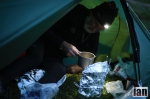
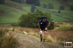
The 2016 Rab Mountain Marathon™ will be the 10th edition of an event that has gained an enviable reputation as the ‘friendly mountain marathon’, with its famously relaxed atmosphere, flexible start times and incredible run of good weather weekends!

Today the organisers have announced that the 2016 event will see the introduction of 4 new Linear Courses, following the traditional Elite, A, B and C course structure. Most interestingly, a ‘GPS’ Linear Course is being launched, that unlike the other courses, will allow the use of GPS navigational devices, and is intended to be a pathway for novice participants to enter their first mountain marathon.

©iancorless.com_RabMM2015-2832

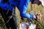
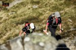
Continuing with the theme of innovation, the organisers are also introducing GPS Tracking for all the teams, on all the courses. The GPS Trackers will not assist with navigation but will enable the event to be followed live via the website.

©iancorless.com_RabMM2015-2528

For entries before the end of March, the organisers have frozen the 2015 entry fee, which means that with the addition of the new courses and GPS Tracking, the Rab Mountain Marathon™ is easily the best value event of its kind.

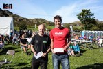
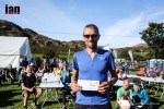
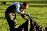
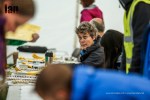
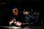
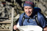
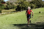
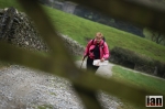
Praise for the 2015 event, the second organised by Ourea Events, was once again superb. Tim Nichol who was participating in his first Rab Mountain Marathon™ said,

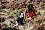
“Many thanks for organising such a great weekend in Snowdonia. It was my first Rab MM, but it definitely won’t be my last. The organisation overall couldn’t be faulted, the marshals were really friendly, the course well designed, the atmosphere was relaxed and friendly and the weather was the icing on the cake”.

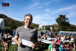
Race Director Shane Ohly said,

“It is fantastic to get such consistently great feedback from our participants, but I am far from complacent, and have been considering careful how the event will evolve. As such, I am delighted to announce the introduction of Elite, A, B and C Linear Courses and an innovative new GPS Linear Course for the 2016 event. At the same time we are introducing GPS Tracking of all teams”.

©iancorless.com_RabMM2015-2232

The introduction of the new GPS Linear Course is a first for mountain marathons and sure to raise a few eyebrows in the traditional map and compass camp, but Ohly explained his thinking,

“I am looking to the future, and attempting to attract new participants into Mountain Marathon events. I want the events’ courses to be both modern and relevant for all participants and audiences, and I consider the integration of technology as a part of everyday life.”

©iancorless.com_RabMM2015-2150

“That said, my position on the use of GPS navigational devices on our other courses is clear. They are not allowed at all. Although these ‘traditional courses’ do not allow a GPS navigational device to be used, we can enable a great solution that embraces latest technology: Many competitors might want a GPX track of their weekend to upload to their training diaries and to share on social media, and this can be acquired from the GPS Tracker data post-event. It’s another great reason for introducing GPS Trackers to the event, which all soloists and teams will carry.” 

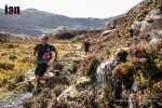
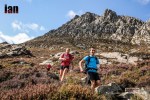
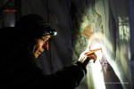
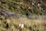
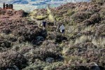
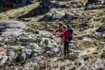
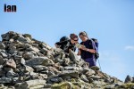
According to the organisers, the introduction of the GPS Trackers will have a significant but subtle effect on the event. First and foremost, it adds a layer of safety by allowing the event team to monitor the location of the participants, but it also allows the participants to summon help using an SOS button in the event of an emergency. The live feed from the Trackers will enable friends and family of the participants to engage with the event in new and exciting ways. During the event – for monitoring and public engagement – the GPS Trackers provide a public record of all routes taken, and can enable the organisers to detect if a participant has been into an Out of Bounds area or through an ‘uncrossable’ boundary – likely to result in disqualification. Lastly, with a GPX download and ‘Replay’ feature it is possible to review the weekend’s activity. This excellent functionality has been developed with the great assistance of Open Tracking.

©iancorless.com_RabMM14_-0079

Shane Ohly continued,

“The GPS Trackers provide an obvious safety benefit, but they also allow the event to reach out to wider audience of the outdoor community and the friends and family of the participants. I think this is very important for keeping the event relevant, modern, and for attracting new participants into this exhilarating outdoor sport.” 

In more detail, the updates to the 2016 event include:

New Elite, A, B and C Linear Courses

  • Elite Course – Estimated winning time: 11 hours over two days
  • A Course – Estimated winning time: 10 hours over two days
  • B Course – Estimated winning time: 9 hours over two days
  • C Course – Estimated winning time: 9 hours over two days

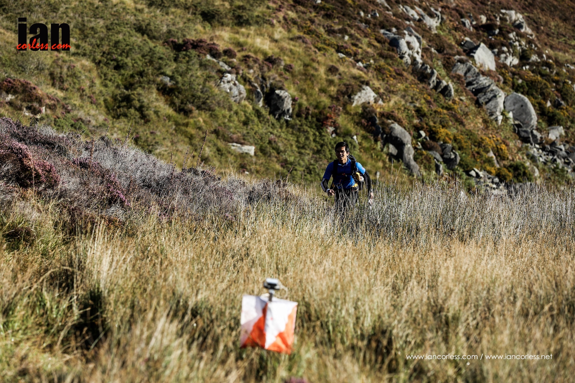
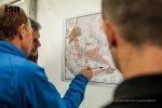
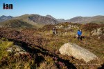
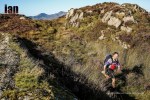
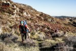
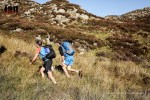
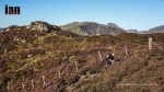
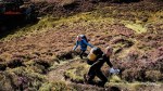
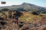
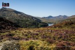
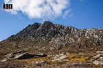
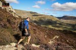
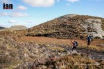
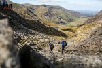
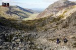
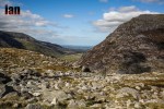
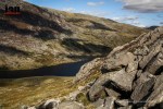
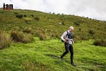
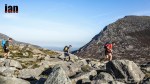
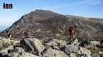
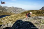
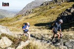
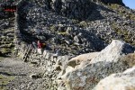
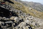
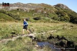
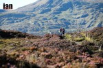
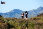
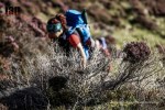
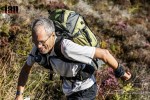
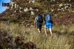
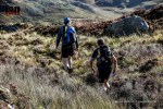
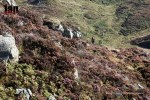
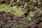
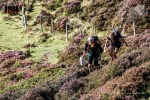
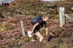
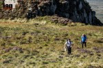
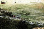
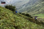
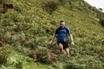
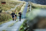
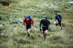
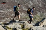
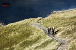
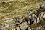
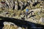
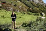
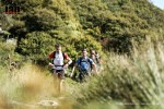
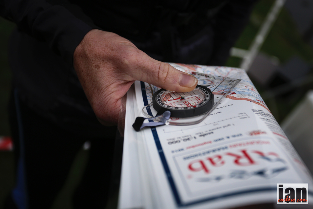
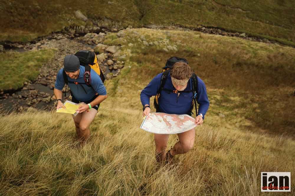
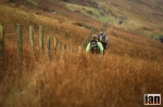
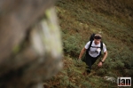
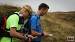
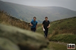
The Elite, A, B and C Course are linear courses where participants must visit a certain number of checkpoints in the correct order – as defined by the organisers. The linear courses still have route choice between controls and are suited for those that wish to try something less complex than the Score Courses, when it comes to topographic decision making! Approximate length and height gains over two days would be:

  • Elite Course – 70km with 3,500m ascent
  • A Course – 60km with 2,800m ascent
  • B Course – 50km with 2,500m ascent
  • C Course – 40km with 2,000m ascent

New GPS Linear Course

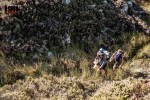
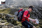
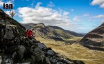
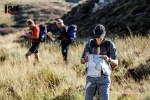
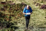
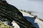
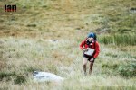
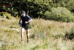
This innovative new course is ideal for novice participants and offers a linear route that is a similar standard to a regular mountain marathon C Course. The aim of the GPS Linear Course is to offer a pathway for new participants to get into mountain marathons. This is the only course where GPS devices that aid navigation are allowed.

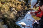
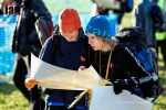
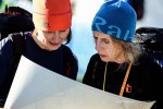
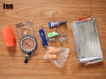
This GPS navigational device could be a traditional GPS pouch-and-handheld, a wristwatch GPS or a smartphone! Some participants will certainly choose to use a device that can be uploaded with topographic mapping, but please note that presently this would likely be Ordnance Survey or Open Mapping, and not a digital version of Harvey’s mapping. All participants receive a Harvey’s waterproof paper map – including the GPS Linear Course participants.
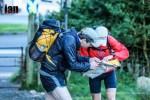
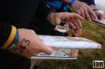
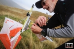
GPS Trackers

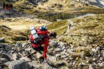
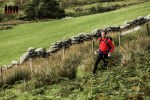
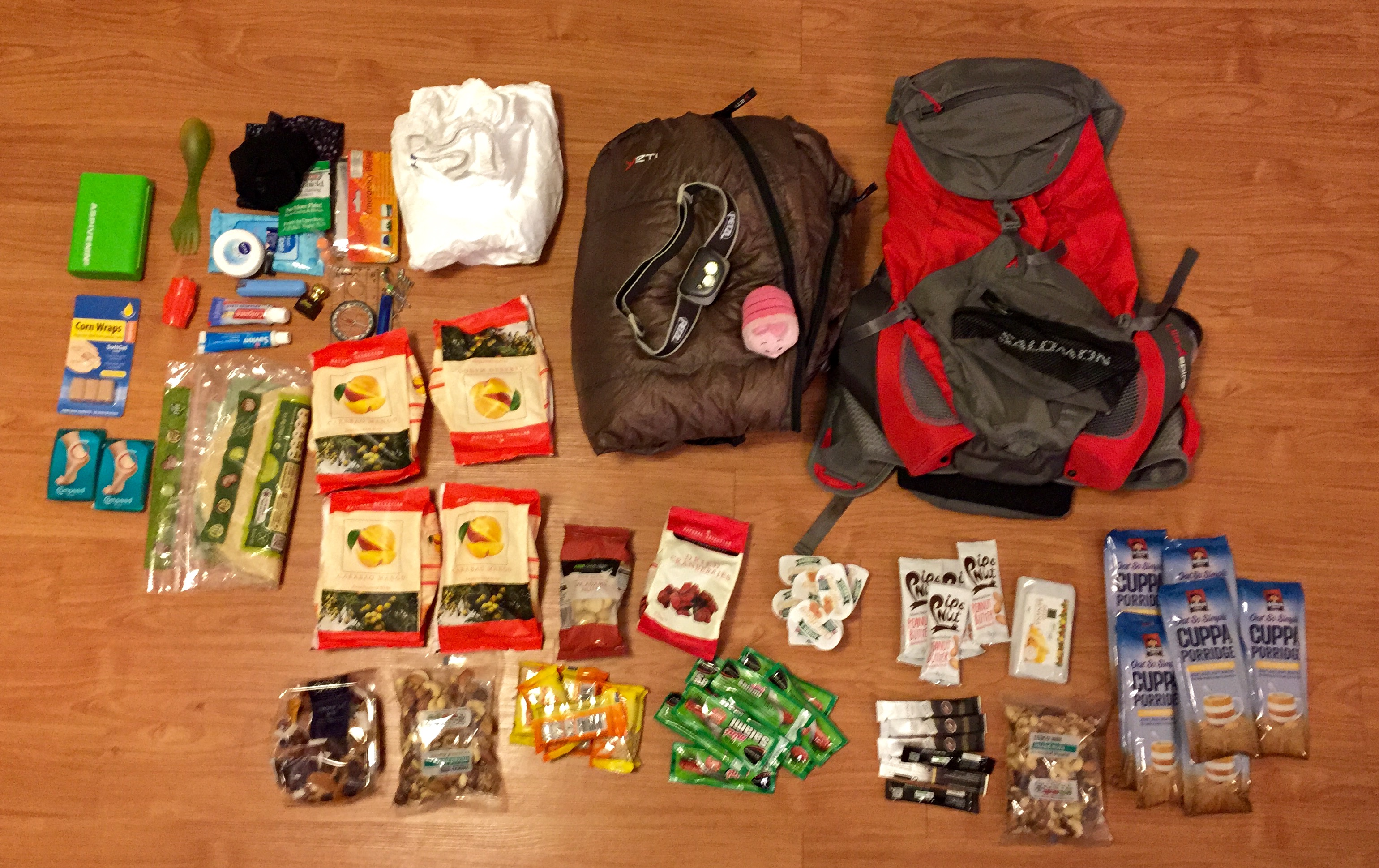
All teams (pairs and solo’s) will be issued with a GPS Tracker that must be attached to their rucksack for the duration of the event. The GPS Tracker allows the organisers, friends and family to follow the teams’ progress live and in real-time. A GPX download of every teams route and ‘Replay’ function of the race will be available shortly after the finish. Any team crossing an uncrossable boundary or passing through an Out of Bounds Area may be disqualified, even days after the event has finished, based on their GPS track.

Looking forward to September!

The organisers believe that these updates for 2016 will improve the event yet further, and broaden the appeal without compromising the core elements that make up the ‘Nature of the Challenge’. The combination of the new Linear Courses and GPS Tracking with the price freeze for early entries, makes the Rab Mountain Marathon™ easily the best value event of its kind and we very much hope that you will be able to join us this September.

rab_logo_horizontal

Ourea_Events_Logo(600)

Key Event Information
Date: Weekend 24th 25th September 2016
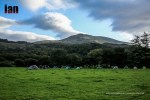
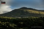
Venue: Within 90 minutes drive of Manchester / Final venue disclosed 1 month prior to the event.
Courses: Elite, A, B, C, GPS, Long Score and Short Score
Entry Fee: From £54.00

Rab Mountain Marathon 2015 Images and Summary

©iancorless.com_RabMM2015-2655

The Lake District, the Howgills and the Cheviots have all been previous locations for the Rab Mountain Marathon™. In 2015 it would be Snowdonia, Capel Curig provided the start and finish with the event using both the Carneddau and Glyderau.

What a weekend!

©iancorless.com_RabMM2015-5008

Wales, Snowdonia National Park and the challenging Carneddau and Glyderau were bathed in incredible sunlight, blue skies and warm temperatures. It was definitely one of those weekends when one is thankful that our sport requires amazing locations and terrain. Wales has never looked so good!

Many runners arrived in Capel Curig on Friday night as temperatures dropped. Clear skies, an amazing bright moon and a chill provided a great appetizer to a stunning weekend as beer and food were provided in the marquee and ‘Trails in Motion’ was screened in a makeshift cinema.

©iancorless.com_RabMM2015-2123

Tackling some very challenging mountain terrain, runners needed to be competent and confident when moving across the steep, rough and mountain terrain that Carneddau and Glyderau provided. Like all previous Rab Mountain Marathons™ the event was a score format. On Saturday a start window of 0830-1030 would ensure that runners avoided snakes as they moved from point to point. After all the race wants to test competitor’s navigation skills, yes? SPORTident electronic timing was used to ensure that accurate timings and logging of points were recorded and runners participated in one of the following categories: solo and teams of two. In addition to a variety of different runner’s class options there was also a walker’s class for those who want an easier, non-competitive weekend.

©iancorless.com_RabMM2015-2528

In any serious mountain event, competitors should always be prepared for the worst possible conditions as the competition area can be isolated and the hills are often exposed to serious weather. For once, this weekend the weather could not have been better. Temperatures during the day were warm, visibility was amazing and the only possible downside came when the sun disappeared and temperatures dropped at night.

©iancorless.com_RabMM2015-2737

Much of the discussion pre race was based around the decision to go north or south? The Carneddau and Glyderau are split by a main road and although closely connected they offer two very different running terrains. The south without doubt provided a smaller area with controls much closer together but the terrain is much rockier and demanding.

©iancorless.com_RabMM2015-4439

Controls and points were split equally between north and south and any ‘visited’ control could not be re-visited the following day! Two main categories on long and short course made route planning and decision making a key element of the challenge and as one would expect, many got the decision process wrong by arriving after time and loosing points.

©iancorless.com_RabMM2015-5986

Ultimately though Wales was the hero of the day. The terrain, mountains and scenery was resplendent in the September light and as runners traversed and made their way around the course, one common thread was heard:

‘It’s just an amazing weekend to be in the mountains, irrespective of how many controls we visit.’

©iancorless.com_RabMM2015-4372

In the Long Score race, Adam Stirk and Andrew Higgins once again set the bar in the team race scoring 300 points (a maximum!) on day 1 and 215 points on day 2 to win with 515-points. Ian Bellamy won the solo Long Score race with 515-points too, he scored 280 on day 1 and 235 on day 2. First solo lady was Kirsty Hewitson, an ever-present at this type of event and her 215 and 200 (total 415) was 55 points clear of the next lady, Kate Worthington. Full Long Score results are HERE.

The Short Score race was won by male duo Alistair Macdonald and Richard Wren with 395 points (230/165) and Louise Beetlestone was 2nd overall, 1st lady and 1st solo competitor with 392 points, scored 220 and 172 respectively. Tom Woolley was the first male solo with 388 points. Full Short Score results HERE.

Shane Ohly, Ourea Events and all the volunteers once again provided a great event that was slick from beginning to end.

“Thanks for a great event, it was definitely a learning curve. Lovely smiley marshalls were brilliant. Met some great competitors on the course too.” – Adrianne Bolton

“It was my first and my sons first Mountain marathon it was one of my best experience. Massive learning curve as we got lost for three hours on the first day . Great organisers great staff will be coming back definitely.” – Phillip Bampton

“Epic” – Brookfield GM

Race website HERE

2015 results HERE

Ourea_Events_Logo(600)

All images are copyright protected – all rights reserved ©iancorless.com

Images with logos can be used on social media (do not crop or adjust) but if you do this, please consider a donation HERE

donate-button

You can purchase images without logo’s at iancorless.photoshelter.com

Marathon des Sables – What goes in the rucksack?

MDS Kit

It’s countdown time to the 30th edition of the iconic Marathon des Sables. The training is done and it was time for Niandi Carmont to go through all her equipment, lay it all out, weigh everything and decide what to take and what not to take.

Running a mult-day race? Check out our 2017 training camp http://d.pr/f/18cqZ

To be clear for those who do not know. Minimum pack weight is 6.5kg.

Minimum food requirement is 2000 calories per day for 7-days.

In addition to the above, each runner must have ‘mandatory’ kit that includes venom pump, compass, penknife and so on…

Marathon des Sables is a self-sufficient race and therefore the runner must carry everything they need for the duration of the event. The only exception comes with water (this is provided and rationed) and a Bivouac (tent) for the evening which is shared with 7 other runners.

Niandi was very clear… my pack will be minimum weight: 6.5kg

It’s been an interesting process and one that has provided both Niandi and myself with some real eye openers… normally you would have too much kit and you would be deciding what to take and what not to take! The reality has been here that we have EVERYTHING that Niandi wants to take and we are under weight. A nice situation to be in.

You can download the equipment list in Word HERE or Excel HERE

Before we get to the pack. Lets look at what Niandi will wear:

  • inov-8 Race Ultra 290 shoes with Raidlight gaiters (gaiters sewn on by Alex in London)
  • Injinji toe socks
  • Raidlight Skort
  • Raidlight T-Shirt
  • Arm Coolers
  • Anita sports bra
  • inov-8 peaked hat
  • Oakley sunglasses
  • Buff

The above is essential and will be worn for the duration of the event.

The pack is an Ultra Aspire Fastpack that will have 2x750ml bottles that sit on the hips and provide easy access

©iancorless.com_MDSkit-7707

*Update – This pack was changed at the 11th hour to an Ultimate Direction Fastpack 20 (available here). This proved to be a good decision! The UDF pack turned out to be a revelation at the 2015 MDS runners. Elisabet Barnes and may others used this. It’s simplistic, no-nonsence approach was a real winner and the bottle holders on the chest perfect for ‘on-the-go’ hydration.

UD-Fastpack-20-F14

Points to consider:
1. The bottle holders are ‘on’ the shoulder straps in an excellent position (lower) and they do not bounce! You can fit 750/800ml bottles in them.
2. The pack fits snug to you pack and can be tightened to remove all bounce. It’s vest like.
3. The pack is just an open space, so, it’s really simple. The downside is that you do need to think about how you pack, anything you may need ‘en-route’ should be near the top.
4. As you eat food and pack contents and weight gets less, the pack has a roll top closure which means that you can make the pack smaller as the day’s pass.
5. It has no waist belt so no stomach stress.
6. It has elastic stretch pockets on the outside for easy access and additional items.
Negatives:
It has no waist belt so therefore you way wish to add a small waist belt for food, snacks, salt tabs etc


Sleeping bag (with Piglet) Yeti Passion One

©iancorless.com_MDSkit-7704

The North Face Summit Series down jacket

©iancorless.com_MDSkit-7692

Raidlight Tyvek suit which has been tailored and modify for a tighter fit and to reduce weight.

©iancorless.com_MDSkit-7691

Petzl head torch with spare batteries

©iancorless.com_MDSkit-7689

The items below make up additional items that are optional extras (such as iPod) and mandatory kit. One or two items are missing: Spot Tracker, signalling mirror and sun cream.

Food is broken down on the excel spread sheet but here is a summary in words and images:

Dehydrated Meals x6 672
Dried Mango 93g x 4 372
Porridge 59g x 7 413
Coffee 1g x 10 10
Peanut Butter 33g x 5 165
Honey 21g x 8 168
Mini Salami 10g x 10 100
Tropical Mix 194
Sesame Bites 27g x 6 162
Dried Banana 270
Mixed Nuts 200g x 2 400
Macademia Nuts 153
Cranberries 175
Wraps 296
3550

We have not added photos of the dehydrated meals as currently we do not have them but we have calculated the weight and you can see a review of dehydrated meals and options HERE

So in a nutshell. With everything listed above we have a current pack weight (without water) of:

TOTAL WEIGHT 6189
*all weights in grams

Niandi does have some additional optional items that she was considering taking and now based on the weight above she will add:

  • Flip Flops 250g
  • Cheese 150g
  • Stove and fuel 150g

The above 3 items tip the scales at 550g

This will make a total pack weight of 6189 + 550 = 6739g

JOB DONE!

Read an in-depth preview of the 2015 Marathon des Sables HERE

Rab Mountain Marathon 2014

rab_logo_horizontal

Over 500 runners assembled in the English Lakes for 2-days of Mountain Marathon action in what turned out to be two great days.

Although the sun only penetrated the thick cloud a couple of times, the weather was dry and as per usual, the Lakes provided a perfect backdrop to two tough days.

RACE IMAGES available HERE

©iancorless.com_RabMM14_-0079


A score event (long and short), participants competed in solo or teams of two and as one would expect, the mix of ability was wide. One of the appeals of the RMM.

A rolling start on both days, 8:30 to 10:30 on Saturday and 07:00 to 09:00 on Sunday avoided snakes of runners and thus ensured everyone had to hone their ‘nav’ skills in finding the appropriate controls.

One thing that was great to see on both days, was huge smiles and a real enjoyment of the event irrespective of ability or speed.

©iancorless.com_RabMM14_-0122

Day 1 provided a couple of very obvious controls relatively close to camp 1 to start and then there field of 500 spread over a wide area. The faster runners covering quite some ground to gain maximum points and by contrast, the walkers took a more direct line and less controls to camp 2.

Starting just west of the A6, day 1 went as far north as Mardale Head and Blea Water and west of Stony Cove Pike. In the south, the faster runners could venture below the River Kent.

Stewart Bellamy (300 points) was the stand out solo competitor and Andrew Stirk/ Adam Higgins (290 points) were the leading team of two after day 1 in the long course. Jackie Scarf and Phil Scarf had a 20 point lead in the short score (235 points) and Luke Gordon (210 points) was the leading solo.

©iancorless.com_RabMM14_-2915A strong wind blowing from the south potentially was going to make overnight camp interesting. However, with all runners back the wind suddenly dropped making the evening a calm, still and very warm night.

An early start had participants departing in two start windows, 0700-0800 and 0800-0900. With the exception of just a few, nearly all participants headed south before then heading east and making the way back to day 1 start camp.

A corridor of controls made this section of the course busy with runners coming from all directions as they tried to take accumulate as many points as possible.

Tough terrain and warm temperatures made day 2 all about covering ground fast as controls were much closer together and therefore points were really up for grabs. Steve Bellamy once again lead the way with 240 points with Daniel Gooch and Jon Moulding both raised their individual games with 245 and 240 points respectively. Two man team Andrew Stirk/ Andrew Higgins looked to be moving fast all day but finished 4th with 235 points. However, Stirk/Higgins still held on to 2nd overall behind Steve Bellamy and Daniel Gooch placed 3rd.

Short score competitors had a shake around on day 2 with day 1 leaders, Jackie & Phil Scarf placing 2nd behind Steve Wilson and Peter Stobbs. Patrick Butlin finished 3rd ahead of day 1 2nd place, Luke Gordon. However, the overall results remained unchanged with Team Scarf 1st (425 points), Luke Gordon 2nd (390) and Tim Martland (360) 3rd.

©iancorless.com_RabMM14_D2_-3103


Shane Ohly as race director and the Ourea Events Team bring slick organisation to difficult terrain and along with the course planning skills of Charlie Sproson, these events are a must do on the calendar. It’s been a busy year for the team, it all started in January with Marmot Dark Mountains. The Rab Mountain Marathon concludes 2014 but already plans are in motion for 2015 and remember, it’s a Dragons Back year! Arguably one of the toughest challenges in the UK

Results are HERE

Ourea events HERE

RACE IMAGES available HERE

Ourea_Events_Logo(600)

Garmin Fenix GPS

Garmin® fēnix™ Outdoor Watch Lets Adventurers Go Even Further Off-Trail

garmin-presents-fēnix-the-game-changing-outdoor-gps-watch-for-mountaineers.html

Garmin International Inc., a unit of Garmin Ltd. (NASDAQ: GRMN), the global leader in satellite navigation, today announced fēnix, its first GPS wrist watch for outdoorsmen, such as mountaineers, hikers, cyclists, hunters and backpackers. fēnix provides comprehensive navigation and tracking functionalities as well as trip information to guide adventurers during their challenging activities off the beaten track. Its built-in sensors provide information on heading, elevation and weather changes. Utilizing Garmin’s leading GPS technology, fēnix can guide adventurers off the trail and back to the safety of a vehicle, trailhead or campsite. Sporting a classic round watch design in a high-strength housing with a scratch-resisting display, it is built to endure the toughest outdoor conditions and also makes a stylish day-to-day timepiece.

“fēnix packs Garmin’s leading and trusted outdoor technology into a robust, wrist-worn GPS watch that outdoorsmen can rely on,” said Dan Bartel, Garmin’s vice president of worldwide sales. “Being able to go hands free while still having access to Garmin’s precise and accurate information on weather, elevation and position provides adventurers the confidence and peace of mind to take their outdoor activities even further off-trail.”

Plan, Navigate and Track

fēnix includes a comprehensive navigational toolset that allows users to plan trips and create routes, record waypoints, such as campsites or points of interest, and record GPS bread crumb trails on the move (tracklogs). Adventurers can navigate to coordinates, along a track or route, towards waypoints, geocaches or along any other selected bearing. A navigation arrow provides clear directional guidance and the TracBack® function can guide one back along a previously recorded tracklog. This provides adventurers peace of mind knowing they’re never “lost” and can easily find their way back in case of an emergency or bad weather conditions. Also included is a worldwide basemap displaying cities nearby. Using the BaseCampTM desktop application, fēnix users will be able to easily plan trips and share their adventures with friends and family. fēnix is equipped with both ANT capabilities and Bluetooth® to wirelessly share tracks, waypoints, routes and geocaches with other compatible Garmin devices. A Basecamp mobile app allows users to transfer waypoints and tracklogs to view them on a more detailed map and larger screen of select smartphones.

Altimeter, Barometer and Compass

fēnix is equipped with ABC sensors (altimeter, barometer and compass) to provide explorers relevant real-time information. The built-in altimeter provides elevation data to accurately monitor ascent and descent, the barometer can be used to predict weather changes by showing short-term trends in air pressure and a 3-axis electronic compass keeps the user’s bearing whether he’s moving or not. Utilizing its GPS receiver, fēnix can auto-calibrate its ABC sensors and also auto sets the time based on location. For an extremely accurate temperature reading, fēnix can be paired with tempeTM, Garmin’s new external temperature sensor.

Measure Performance

Similar to Garmin’s running watches, f